The best running trails in Monte Cornoviglio - Monte Fiorito - Monte Dragnone
3.1
(14)
345
runners
26
runs
Jogging in Monte Cornoviglio - Monte Fiorito - Monte Dragnone offers diverse landscapes, from open meadows to deciduous forests, providing varied terrain for runners. The region features mountainous areas with natural viewpoints and high-altitude passes, including nine named mountains. Trails range from easily accessible paths to more challenging routes with significant elevation gains, accommodating various fitness levels. This area is recognized as a Natura 2000 site, highlighting its ecological importance.
Best jogging routes in Monte Cornoviglio - Monte Fiorito -…
Last updated: July 13, 2026
3
runners
Hard run. Very good fitness required. Mostly accessible paths. Some sure footedness required.
2.0
(1)
40
runners
7.25km
00:47
90m
90m
Moderate run. Good fitness required. Mostly paved surfaces. Suitable for all skill levels.

Sign up for free
1.0
(1)
10
runners
11.1km
01:16
320m
320m
Hard run. Very good fitness required. Mostly paved surfaces. Suitable for all skill levels.
12
runners
13.4km
01:24
80m
80m
Moderate run. Good fitness required. Mostly paved surfaces. Suitable for all skill levels.
10
runners
11.9km
01:15
110m
110m
Moderate run. Good fitness required. Mostly paved surfaces. Suitable for all skill levels.
Get access to more routes and recommendations from other explorers.
Sign up for free
Already have an account?
Our route recommendations are based on thousands of hikes, rides, and runs completed by other people on komoot.
Start today with a free account
Your next adventure awaits.
Login or Signup
Popular around Monte Cornoviglio - Monte Fiorito - Monte Dragnone

Alta Via Stage Race – Only the brave
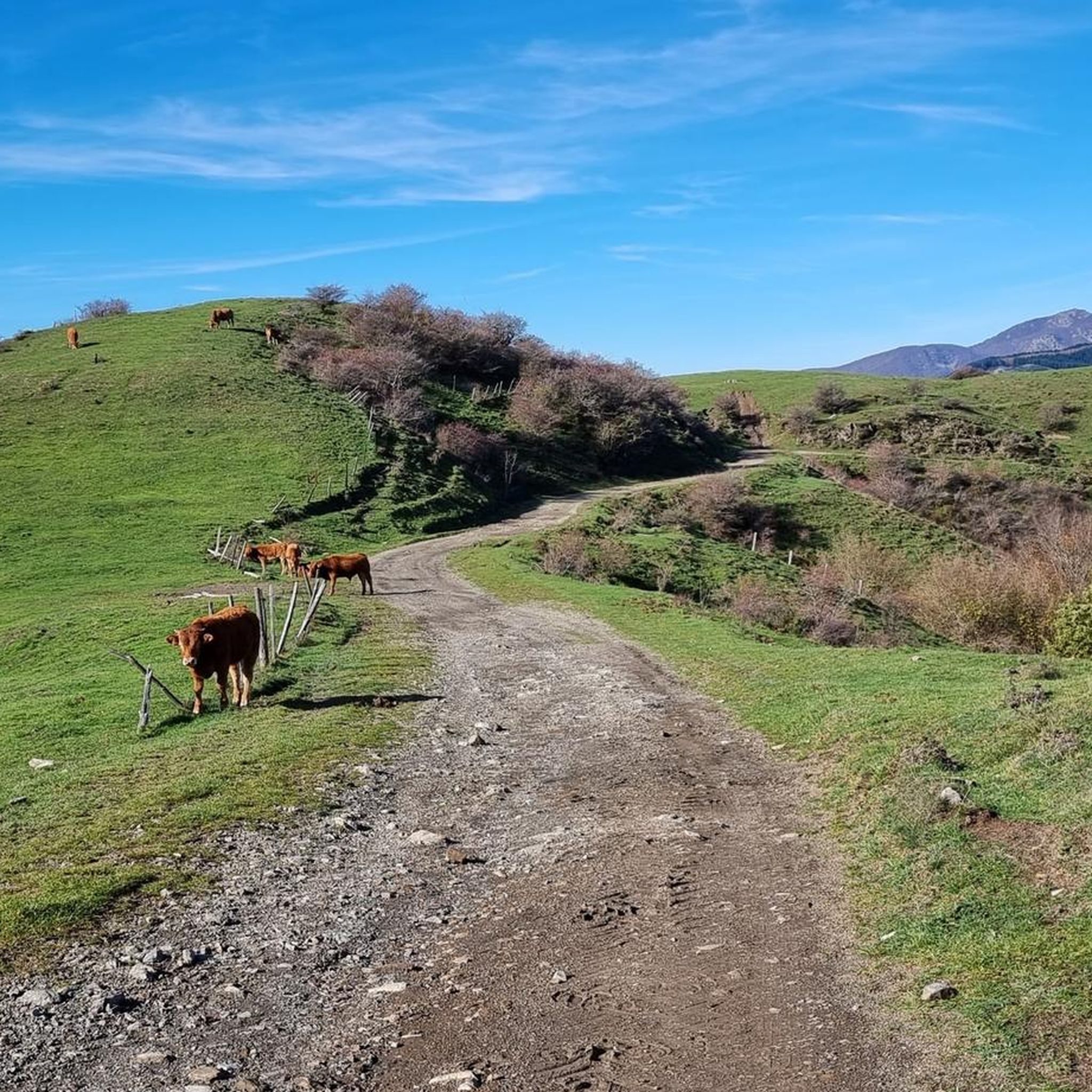
Hiking in Monte Cornoviglio - Monte Fiorito - Monte Dragnone
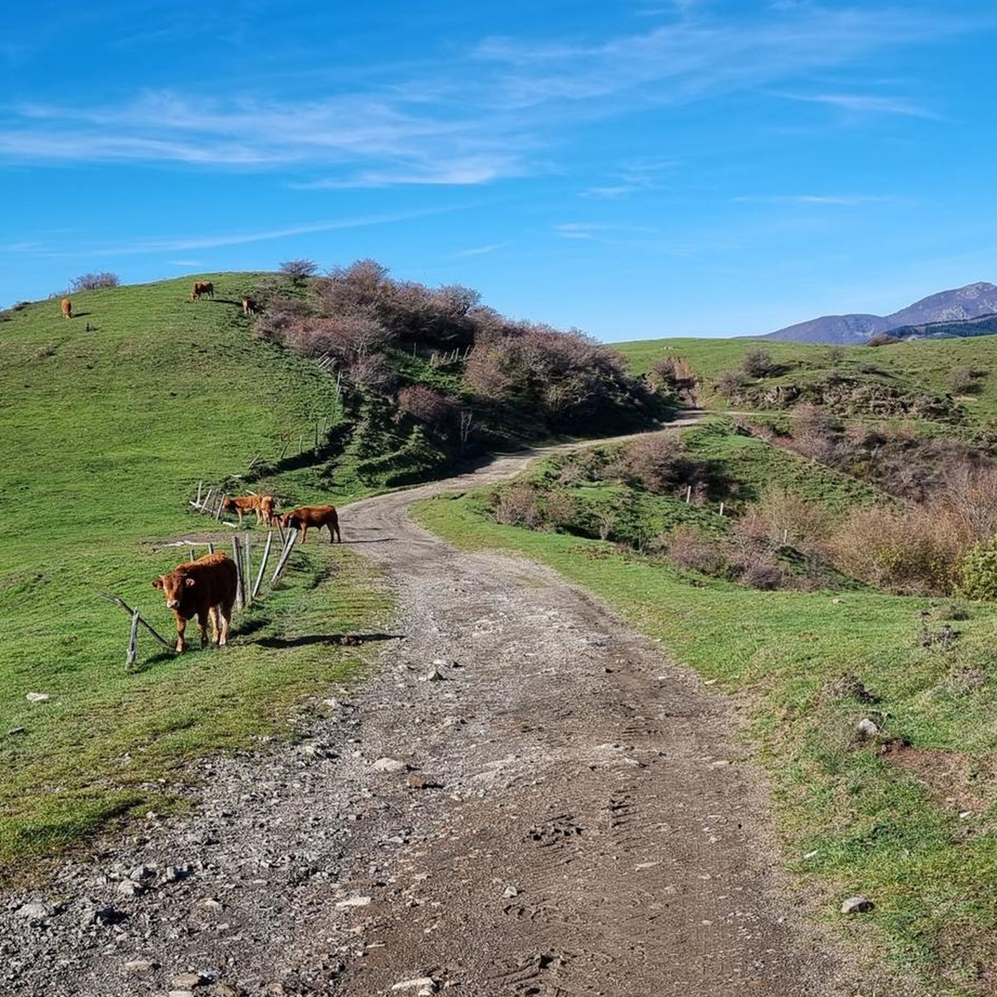
MTB Trails in Monte Cornoviglio - Monte Fiorito - Monte Dragnone
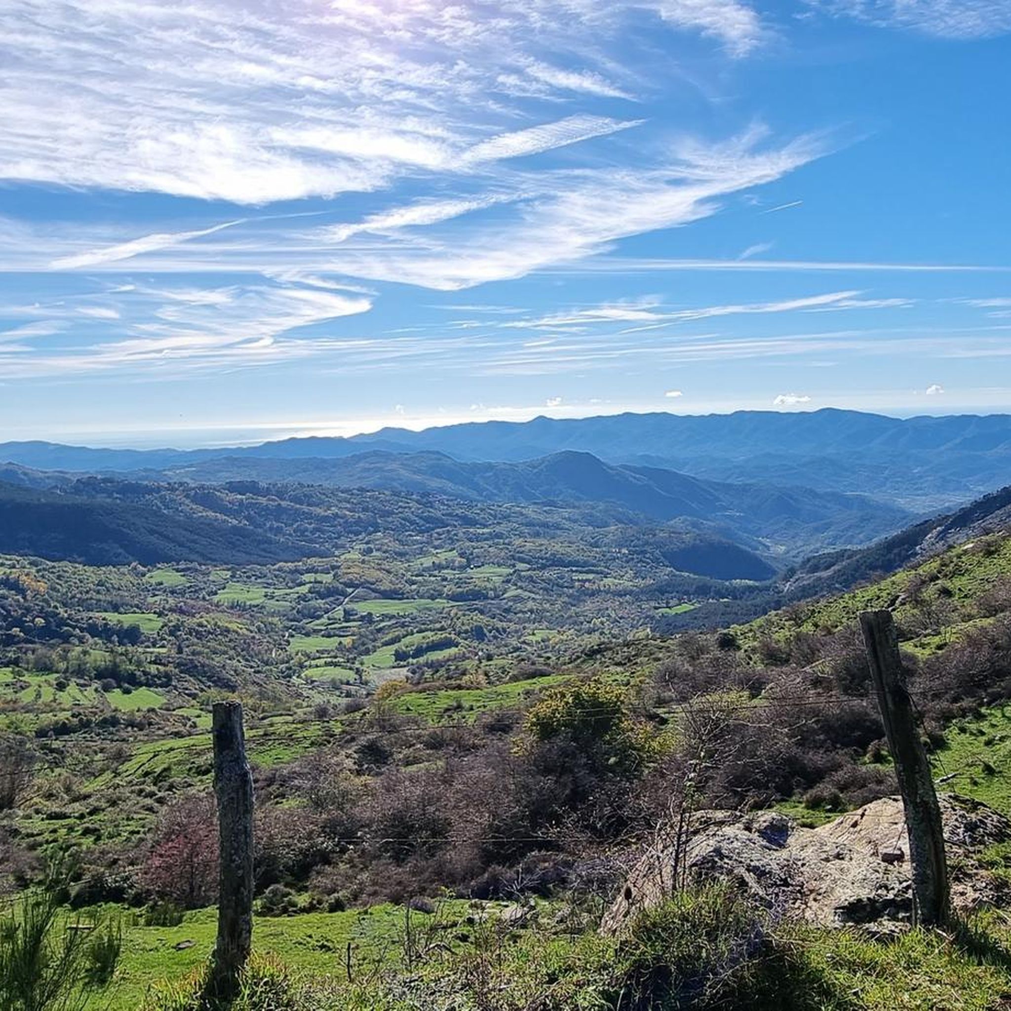
Road Cycling Routes in Monte Cornoviglio - Monte Fiorito - Monte Dragnone
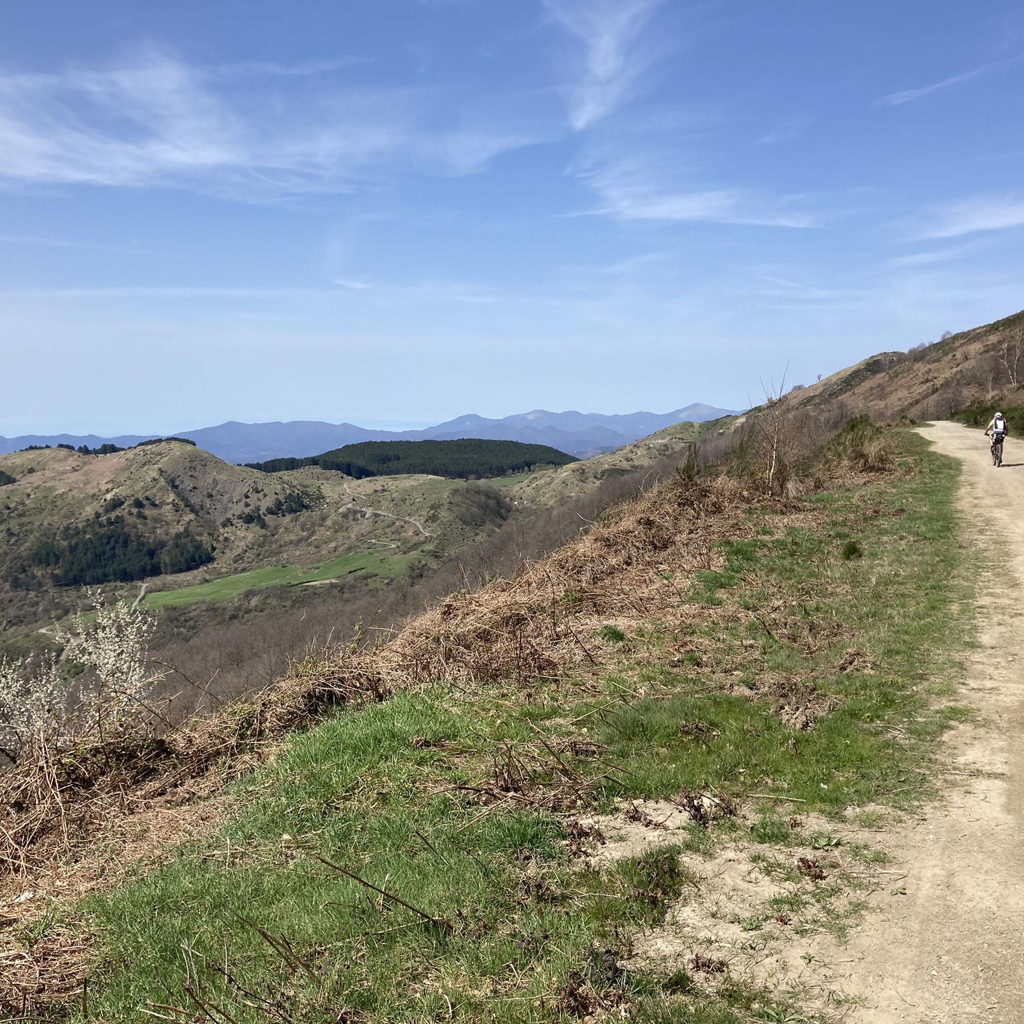
Cycling in Monte Cornoviglio - Monte Fiorito - Monte Dragnone
Gravel biking in Monte Cornoviglio - Monte Fiorito - Monte Dragnone
Other adventures in Monte Cornoviglio - Monte Fiorito - Monte Dragnone

Tips from the Community

Passo Alpicella is located at 710m above sea level and is part of the 42nd stage of the Alta Via dei Monti Liguri. It is located on the watershed ridge between Val di Vara and Valle del Magra, offering open views that on clear days reach the Apuan Alps and the Gulf of Poets.
0
0

ALPICELLA PASS WHICH DIVIDES LIGURIA FROM TUSCANY PHOTO OF THE OLD RESTAURANT
1
0

Pleasant walk in a redeveloped stretch of the old railway line that connected Aulla to Villafranca. Today it is possible to go from the old Terrarossa Tresana station to Aulla. The first part is paved and the second dirt.
0
0

The Greenway del Fiume Magra is an easy 6 mile circular walk/bike ride at roughly constant altitude. It starts at the Terrarossa-Tresana station, now disused, and runs along the route of the old single track railway which, at least to the outskirts of Aulla, has mostly been surfaced in asphalt. Once there it follows urban streets to the southernmost bridge across the Magra. At the Western bank of the river the route turns North, initially passing between the A15 autostrada and the river but later crossing the A15 to run to the West.
0
0
Frequently Asked Questions
How many running routes are available in Monte Cornoviglio - Monte Fiorito - Monte Dragnone?
The region offers a wide selection of running trails, with over 25 routes available for exploration. These range from easy paths to more challenging runs, catering to various fitness levels.
What kind of terrain can I expect on the running trails in this area?
Runners can experience a diverse landscape, featuring a mix of open meadows and dense deciduous forests. The mountainous terrain also provides numerous natural viewpoints and high-altitude passes, ensuring varied and scenic runs.
Are there running routes suitable for beginners or those looking for an easier run?
Yes, the area includes easily accessible paths perfect for beginners or those seeking a less strenuous run. For example, the Running loop from Tresana is a moderate 4.5-mile (7.3 km) trail that offers a scenic experience without extreme difficulty.
Are there any challenging trails for experienced runners?
Absolutely. For experienced runners seeking a challenge, there are routes with significant elevation gains. The Running loop from Mulazzo is a difficult 6.9-mile (11.1 km) path known for its notable elevation changes, providing a demanding workout.
What are some notable viewpoints or natural attractions along the running routes?
The region is rich in scenic spots. You can enjoy fantastic views from the scenic road of Monte Cornoviglio or the Casoni–Monte Stronzo Panoramic Road, which offers expansive views towards the coast. The Casoni-Rastrello Pass is also a beautiful spot to incorporate into your run.
Are there any circular running routes available?
Yes, many routes in the area are designed as loops, offering convenient circular runs. Examples include the Running loop from Tivegna, which is an 8.3-mile (13.4 km) trail, and the Torre Malaspina loop from Castello.
What do other runners say about the trails in Monte Cornoviglio - Monte Fiorito - Monte Dragnone?
The running routes in this region are highly regarded by the komoot community, holding an average rating of 3.4 stars from over 14 reviews. Runners often praise the varied terrain, from peaceful forests to open meadows, and the stunning panoramic views.
Are the running trails in Monte Cornoviglio - Monte Fiorito - Monte Dragnone suitable for families?
While specific 'family-friendly' labels aren't always present, the region's diverse trail network includes many easily accessible paths with moderate difficulty. These gentler routes, often through meadows and forests, can be suitable for families looking for a pleasant outdoor activity.
Can I bring my dog on the running routes?
Generally, trails in natural parks like Monte Cornoviglio - Monte Fiorito - Monte Dragnone are dog-friendly, especially if dogs are kept on a leash. It's always recommended to check local signage for any specific restrictions, particularly in protected areas or near grazing livestock.
Is there parking available near the trailheads?
While specific parking locations for every trailhead are not listed, many popular starting points for trails in natural areas typically offer parking facilities. It's advisable to check the komoot tour details for specific routes like the View of Podenzana loop from Podenzana, which often include information on access points.
Are there any places to eat or get refreshments near the running routes?
Yes, you can find options for refreshments. For example, the Trattoria Dei Cacciatori Casoni is located near the Casoni-Rastrello Pass, offering a convenient stop for a meal or drink during or after your run.
What makes Monte Cornoviglio - Monte Fiorito - Monte Dragnone a unique place for running?
This region stands out due to its status as a Natura 2000 site, ensuring its ecological importance and pristine natural beauty. The combination of stunning coastal and mountain views, varied terrain, and a well-maintained trail network makes it an exceptional destination for outdoor activities, including running.
Most popular routes in Monte Cornoviglio - Monte Fiorito - Monte Dragnone
Most popular attractions in Monte Cornoviglio - Monte Fiorito - Monte Dragnone

Get inspired with the komoot mobile app


Explore more
Browse the best Running Trails & Routes in other regions.
