The best MTB trails in Croce Della Tia - Rio Barchei
4.5
(176)
769
riders
121
rides
Mountain bike trails in Croce Della Tia - Rio Barchei offer diverse terrain, characterized by a mix of forest tracks and open countryside loops. The region features varied elevation, providing options for different fitness levels and technical abilities. Natural features include paths along the Belbo stream and routes that pass through areas with medieval villages, adding a historical dimension to the landscape.
Best mountain bike trails in Croce Della Tia - Rio Barchei
- The most popular mountain bike trail is…
Last updated: June 28, 2026
4.5
(4)
8
riders
42.3km
02:40
480m
480m
Moderate mountain bike ride. Good fitness required. Advanced riding skills necessary.
5.0
(1)
13
riders
Moderate mountain bike ride. Good fitness required. Suitable for all skill levels.

Sign up for free
9
riders
31.1km
02:51
850m
850m
Moderate mountain bike ride. Good fitness required. Advanced riding skills necessary.
5
riders
35.1km
02:47
750m
750m
Moderate mountain bike ride. Good fitness required. Suitable for all skill levels.
8.80km
00:58
330m
330m
Moderate mountain bike ride. Good fitness required. Advanced riding skills necessary.
Get access to more routes and recommendations from other explorers.
Sign up for free
Already have an account?
Our route recommendations are based on thousands of hikes, rides, and runs completed by other people on komoot.
Start today with a free account
Your next adventure awaits.
Login or Signup

Tips from the Community

Lavender lavender lavender lavender
1
0

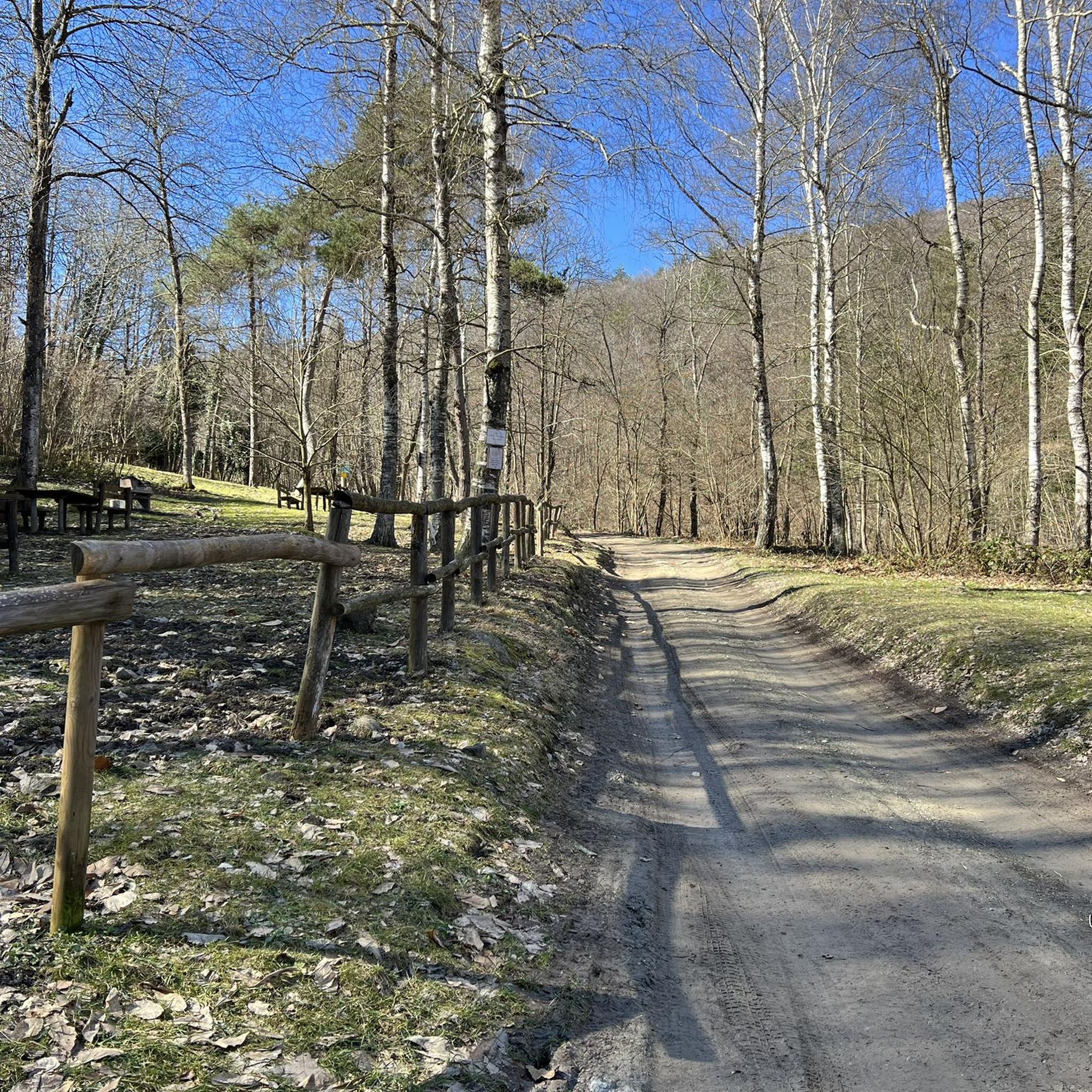
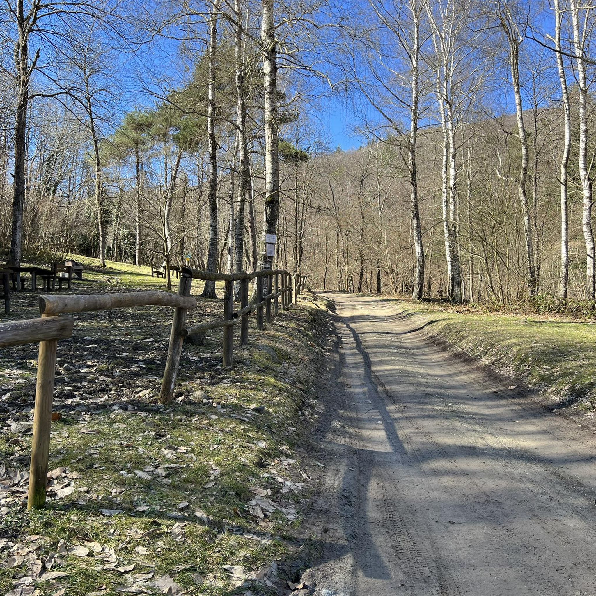
Quiet place for a nice picnic
0
0

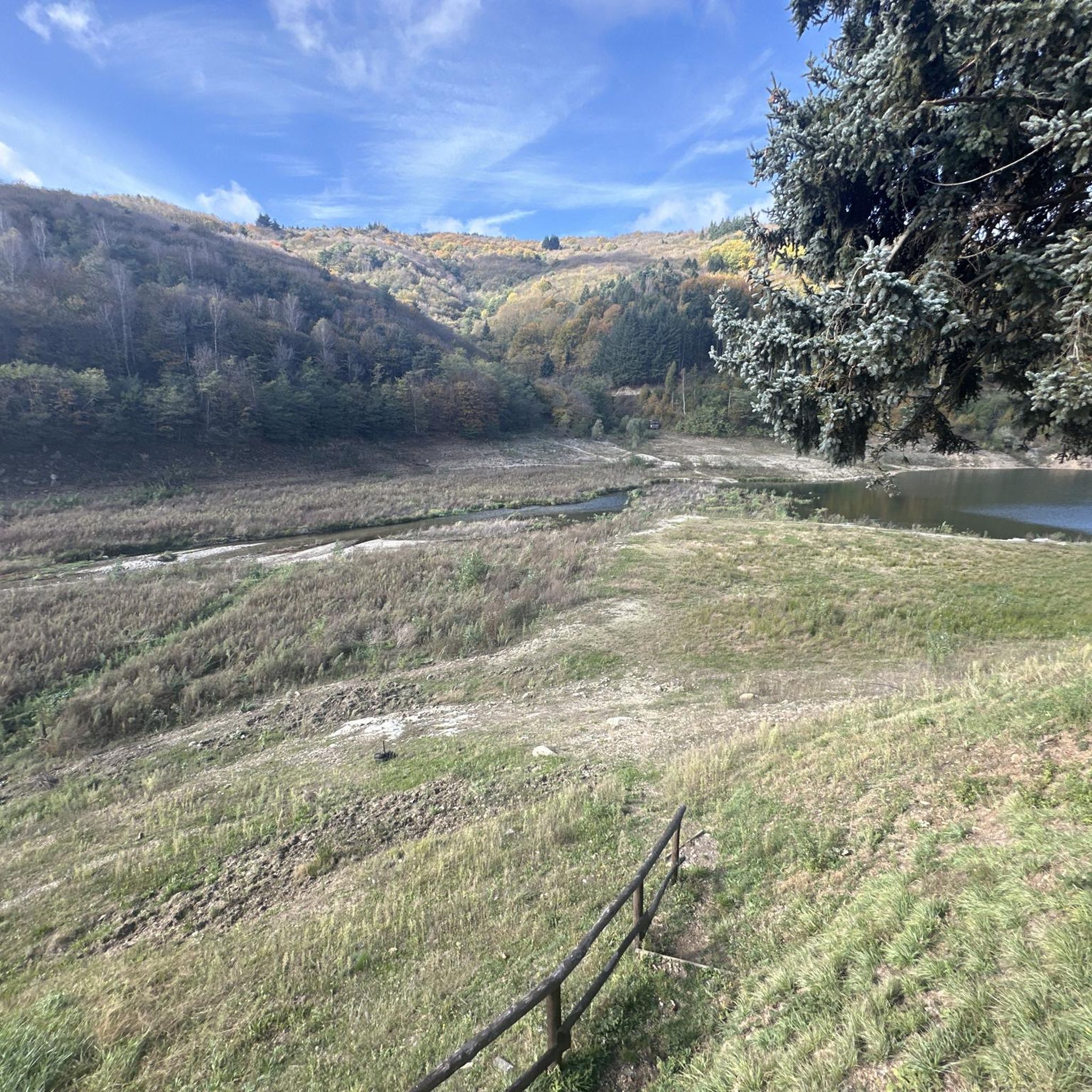
Lake Osiglia, ideal for sports and relaxation
0
0

A lovely place to linger.
0
0
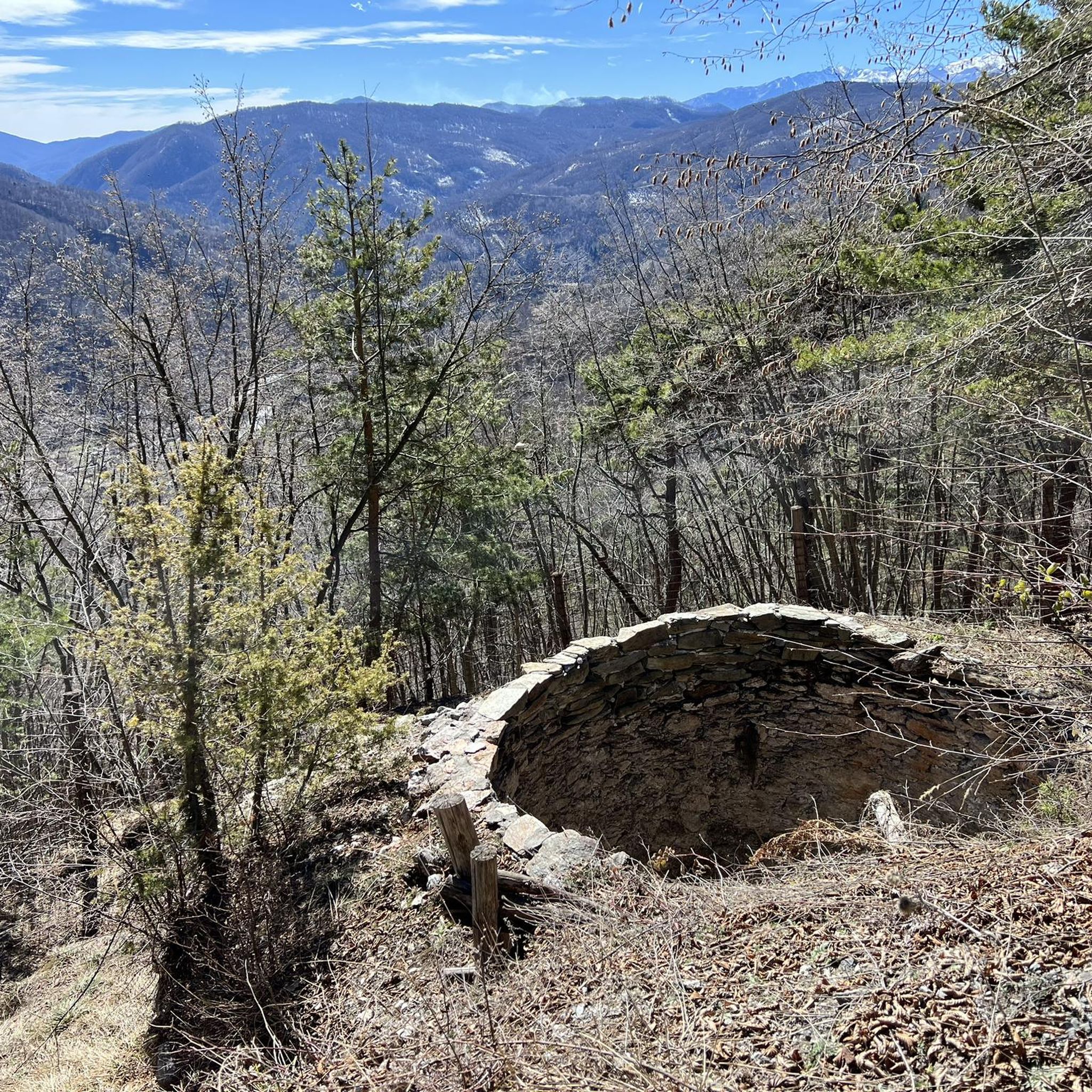
You can immediately see that you are looking at something old here.
0
0
A very sleepy little place deep in the hinterland.
0
0

Town in the province of Cuneo on the border with Liguria, for those who need to get off by bike at Millesimo, once you arrive at the "roundabout" I recommend avoiding the SP2 bis but taking the old road to the left to Roccavignale which is less busy and panoramic (slight climb of 40 D+). .
0
0

Frequently Asked Questions
How many mountain bike trails are available in Croce Della Tia - Rio Barchei?
There are over 120 mountain bike trails in Croce Della Tia - Rio Barchei, offering a wide range of options for different skill levels and preferences. The area features a mix of forest tracks and open countryside loops.
What kind of terrain can I expect on the mountain bike trails in this region?
The terrain in Croce Della Tia - Rio Barchei is diverse, characterized by peaceful countryside loops, winding forest tracks, and routes that follow natural features like the Belbo stream. You'll find varied elevation, from easier paths to more demanding routes with significant climbs.
Are there any family-friendly mountain bike trails in Croce Della Tia - Rio Barchei?
Yes, the region offers paths suitable for various fitness levels, including easier country loops that are great for families. While specific 'family-friendly' routes aren't highlighted, many accessible paths cater to less experienced riders. Look for routes with lower elevation gain and shorter distances for a more relaxed family outing.
What are some notable natural features or landmarks I might encounter while mountain biking here?
You can explore paths along the Belbo stream, which leads to an equipped area. Another significant trail is the 'Menhir path,' starting from the Pilone del Foresto and ascending towards Montezemolo. The region also features charming medieval villages, such as Ceva, with their distinctive golden-lit stone buildings, adding a cultural dimension to your ride.
What is the best time of year to go mountain biking in Croce Della Tia - Rio Barchei?
The diverse terrain and varied elevation make Croce Della Tia - Rio Barchei suitable for mountain biking across multiple seasons. Generally, spring and autumn offer pleasant temperatures and vibrant scenery. However, some routes may be accessible year-round, depending on weather conditions.
Are there any circular mountain bike routes in the area?
Yes, many of the mountain bike trails in Croce Della Tia - Rio Barchei are designed as loops, allowing you to start and finish at the same point. An example is the moderate Pedalando nei dintorni di Nucetto — Giro ad anello, which offers a scenic ride through the surroundings of Nucetto.
What do other mountain bikers say about the trails in Croce Della Tia - Rio Barchei?
The mountain bike trails in Croce Della Tia - Rio Barchei are highly rated by the komoot community, with an average score of 4.4 stars from over 170 reviews. More than 800 mountain bikers have used komoot to explore the region's varied terrain, often praising the mix of forest tracks and open countryside.
Are there any moderate mountain bike trails for intermediate riders?
Absolutely. The majority of trails in Croce Della Tia - Rio Barchei are classified as moderate, providing a balanced challenge. A popular choice is the Oratory of the Forest – MONTEZEMOLO CN loop from Roccavignale, a 15.7-mile route that offers a good mix of forest and open country.
Where can I find parking for mountain biking in Croce Della Tia - Rio Barchei?
While specific parking locations are not detailed for every trail, the region's accessible paths and villages suggest various starting points. It's advisable to check the starting point of your chosen route on komoot for potential parking information or look for designated parking areas in nearby towns like Roccavignale or Ferriera Nuova.
Are there any challenging mountain bike routes for experienced riders?
Yes, for experienced riders seeking a challenge, there are difficult routes with significant elevation gain. The MONTEZEMOLO CN – Oratory of the Forest loop from Roccavignale is a demanding 23.9-mile trail with substantial climbing through varied terrain, taking around 3 hours and 41 minutes to complete.
Can I bring my dog on the mountain bike trails?
Many outdoor areas in Italy are dog-friendly, especially on trails that are also used by hikers and horseback riders. While there are no specific restrictions mentioned, it's always best to keep your dog under control, especially when encountering other trail users or wildlife. Always carry water for your dog and clean up after them.
Are there places to eat or stay near the mountain bike trails?
The region includes medieval villages like Ceva, and towns such as Roccavignale and Ferriera Nuova, which are likely to offer local cafes, restaurants, and accommodation options. These places provide convenient spots to refuel and rest after your ride.
Is public transport available to access the mountain bike trails?
The accessibility of trails by public transport can vary. While the region is known for its accessible paths, specific public transport links directly to trailheads are not detailed. It's recommended to research local bus or train services to nearby towns and plan your route accordingly, or consider driving to a suitable starting point.
Most popular routes in Croce Della Tia - Rio Barchei

Get inspired with the komoot mobile app


Explore more
Browse the best MTB trails in other regions.
