The best walks and hikes in Croce Della Tia - Rio Barchei
4.3
(197)
808
hikers
100
hikes
Hiking in Croce Della Tia - Rio Barchei offers a network of trails through forested paths and serene natural settings. The region is characterized by its varied landscape, including routes that follow the Belbo stream and peaceful countryside loops. This area provides accessible and enjoyable walking trails, suitable for different fitness levels.
Best hiking trails in Croce Della Tia - Rio Barchei
- The most popular hiking route is Ceva countryside loop (via Route B18), a 4.2 miles (6.7 km)…
Last updated: August 20, 2026
6.72km
01:55
160m
160m
Peaceful countryside loop through medieval Ceva with forest tracks and golden-lit stone villages.
4.0
(1)
4
hikers
8.82km
02:51
380m
380m
Moderate hike. Good fitness required. Mostly accessible paths. Sure-footedness required.

Sign up for free
4.3
(3)
3
hikers
9.22km
02:40
220m
230m
Moderate hike. Good fitness required. Easily-accessible paths. Suitable for all skill levels.
1
hikers
7.48km
02:03
110m
110m
Peaceful countryside loop through Piemonte's rolling hills to the source of the Belbo River.
4.3
(7)
16
hikers
14.2km
03:59
290m
290m
Moderate hike. Good fitness required. Easily-accessible paths. Suitable for all skill levels.
Get access to more routes and recommendations from other explorers.
Sign up for free
Already have an account?
Our route recommendations are based on thousands of hikes, rides, and runs completed by other people on komoot.
Start today with a free account
Your next adventure awaits.
Login or Signup

Tips from the Community

thanks to komoot if I'm not lost there are no directions
0
0

It's great for a sandwich stop.
18
0
There are always a lot of bikers in this bar. Impressive
18
0

Small square in the small village, but well cared for
0
0

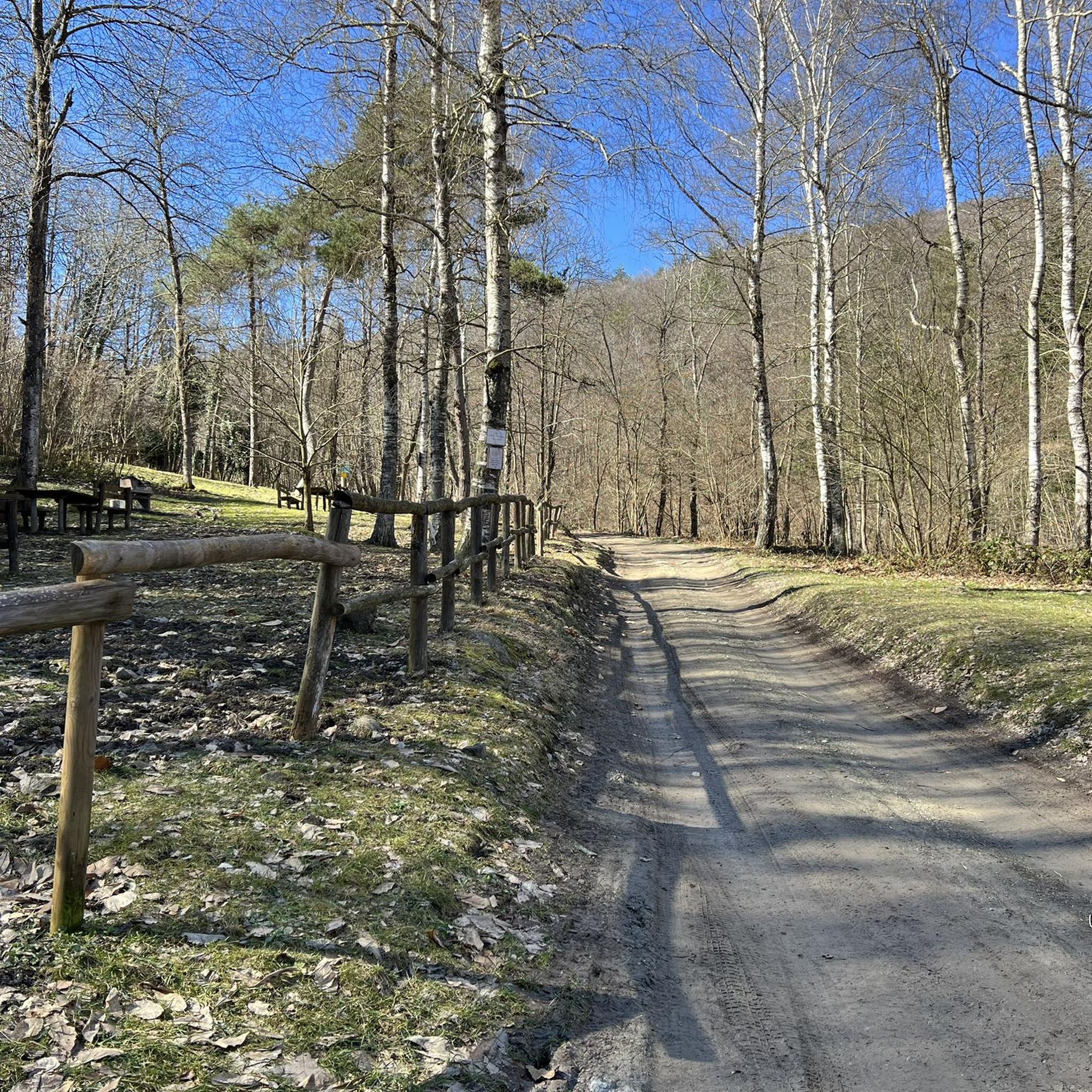
There are two main paths: the one which from the entrance to the reserve follows the Belbo stream quite faithfully and ends up in the equipped area, and the "Menhir path" which starts from the Pilone del Foresto and then continues uphill towards Montezemolo . Both can be covered quite easily both downhill and uphill, be careful because it is possible to meet people on horseback.
1
0
I have been able to find out very little about this church: it is known that it was placed to watch over an ancient crossroads of paths, used in ancient times to trade salt (on the other hand, salt is mentioned in many local toponyms, just mention the town of Sale Langhe). Until a few years ago, however, it was a ruin, overgrown with climbing plants, recently a group of willing people rearranged it, redoing the roof, cleaning up the walls and also highlighting the apse which, in addition to the altar, also kept a fresco of which unfortunately few traces remain. Transit point of the cart track which from the entrance to the reserve continues towards Camerana (slight uphill then downhill, the ancient salt road), and arrival point of the "Sentiero del Menhir" which instead crosses the reserve, another beautiful trail for MTB . Recommended for a lunch stop, unfortunately there is no water.
2
0
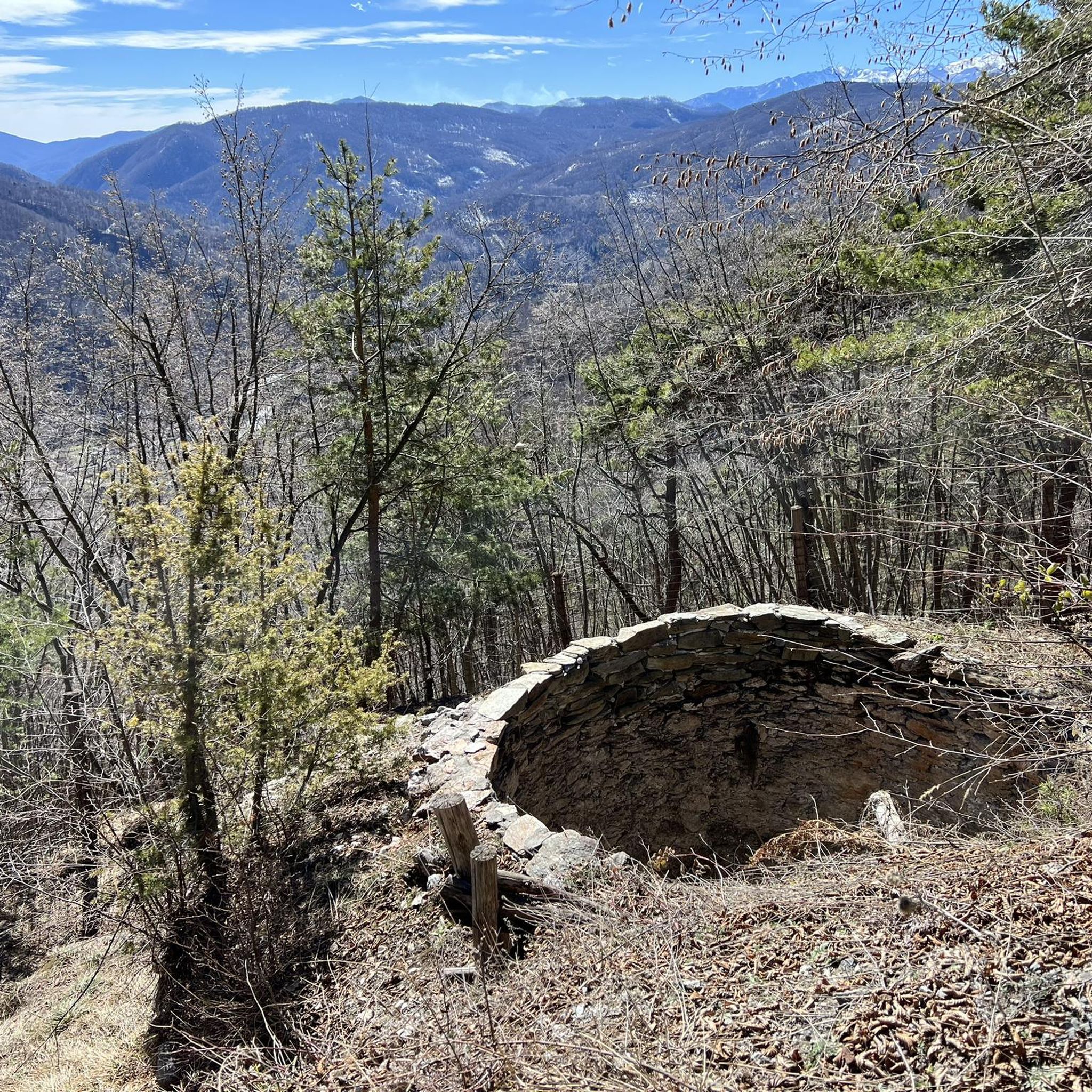
This beautiful little church is located on one of the highest points of the route, in a suggestive clearing in the beech forest. Externally the building is rather bare, on one wall there are traces of an ancient fresco which has unfortunately now been cancelled. not far away there are tables that make it the ideal place for packed lunches. The only downside is the lack of water.
0
0

The church of San Giovanni is a gem that appears in the woods. It deserves a break in the shade of the woods.
0
0
Frequently Asked Questions
How many hiking trails are available in Croce Della Tia - Rio Barchei, and what are their difficulty levels?
The Croce Della Tia - Rio Barchei region features over 80 hiking trails. Approximately 30 of these are considered easy, 55 are moderate, and a few are more challenging, offering options for various fitness levels.
What kind of landscapes can I expect to see while hiking in Croce Della Tia - Rio Barchei?
Hikers can expect to traverse diverse natural settings, including serene forested paths and routes that faithfully follow the Belbo stream within a natural reserve. The area also offers peaceful countryside loops and paths through charming 'golden-lit stone villages'.
Are there any family-friendly hiking options in Croce Della Tia - Rio Barchei?
Yes, the region is known for its accessible and enjoyable walking trails, many of which are suitable for short excursions and family outings. An example of an easy, family-friendly route is the Ceva countryside loop (via Route B18), which winds through peaceful areas near medieval Ceva.
Are dogs allowed on the hiking trails in Croce Della Tia - Rio Barchei?
Many trails in Croce Della Tia - Rio Barchei are dog-friendly, allowing you to enjoy the natural surroundings with your canine companion. It's always recommended to keep dogs on a leash and follow local regulations to protect wildlife and other hikers.
What are some notable landmarks or points of interest along the trails?
Hikers can explore the 'Menhir path' which ascends towards Montezemolo, starting from the Pilone del Foresto. Additionally, there's an equipped area at the end of the path that follows the Belbo stream, offering a pleasant stop. You might also encounter medieval Ceva and picturesque stone villages.
Are there any circular hiking routes available?
Yes, the region offers several circular routes. A popular option is the Belbo River Source Loop (Trail B20), which takes you through forested areas alongside the Belbo stream. Another is the Rifugio Camp da Langa Murialdo – San Giovanni Chapel loop from Murialdo, featuring varied terrain.
What do other hikers say about the trails in Croce Della Tia - Rio Barchei?
The trails in Croce Della Tia - Rio Barchei are highly regarded by the komoot community, holding an average rating of 4.3 stars from over 180 reviews. Hikers often praise the tranquil atmosphere, the well-maintained paths, and the beautiful natural scenery, particularly the forested sections and the Belbo stream.
Is there parking available near the trailheads?
While specific parking information for every trailhead isn't detailed, the region is generally accessible for hikers. Many routes, especially those starting from towns like Montezemolo or Ceva, typically have designated parking areas nearby. It's advisable to check specific route details for precise parking locations.
What is the best time of year to go hiking in Croce Della Tia - Rio Barchei?
The region offers pleasant hiking conditions for much of the year. Spring and autumn are particularly ideal, with mild temperatures and vibrant natural colors. Summer provides warm weather for enjoying the forested paths, while winter can offer a different, serene experience, though some paths might be less accessible depending on conditions.
Are there any longer, moderate hikes for more experienced walkers?
Certainly. For those seeking a moderate challenge, the Oratorio del Foresto – Picnic area loop from Montezemolo is a good option, covering over 10 km. Another moderate route is the Oratorio del Foresto – Picnic area loop from Panchina Gigante Turchese - Roccavignale, which is even longer at nearly 17 km.
Can I access the hiking trails using public transport?
Access to trailheads via public transport can vary. While some starting points in larger towns like Ceva or Murialdo might be reachable by local bus services, many trails in more rural areas may require private transportation. It's recommended to research local transport options for your specific starting point.
Most popular routes in Croce Della Tia - Rio Barchei

Get inspired with the komoot mobile app


Explore more
Browse the best Hikes in other regions.
