The best MTB trails in Réserve Biologique Dirigée De Saint-Guillhem-Le-Désert
4.2
(97)
779
riders
32
rides
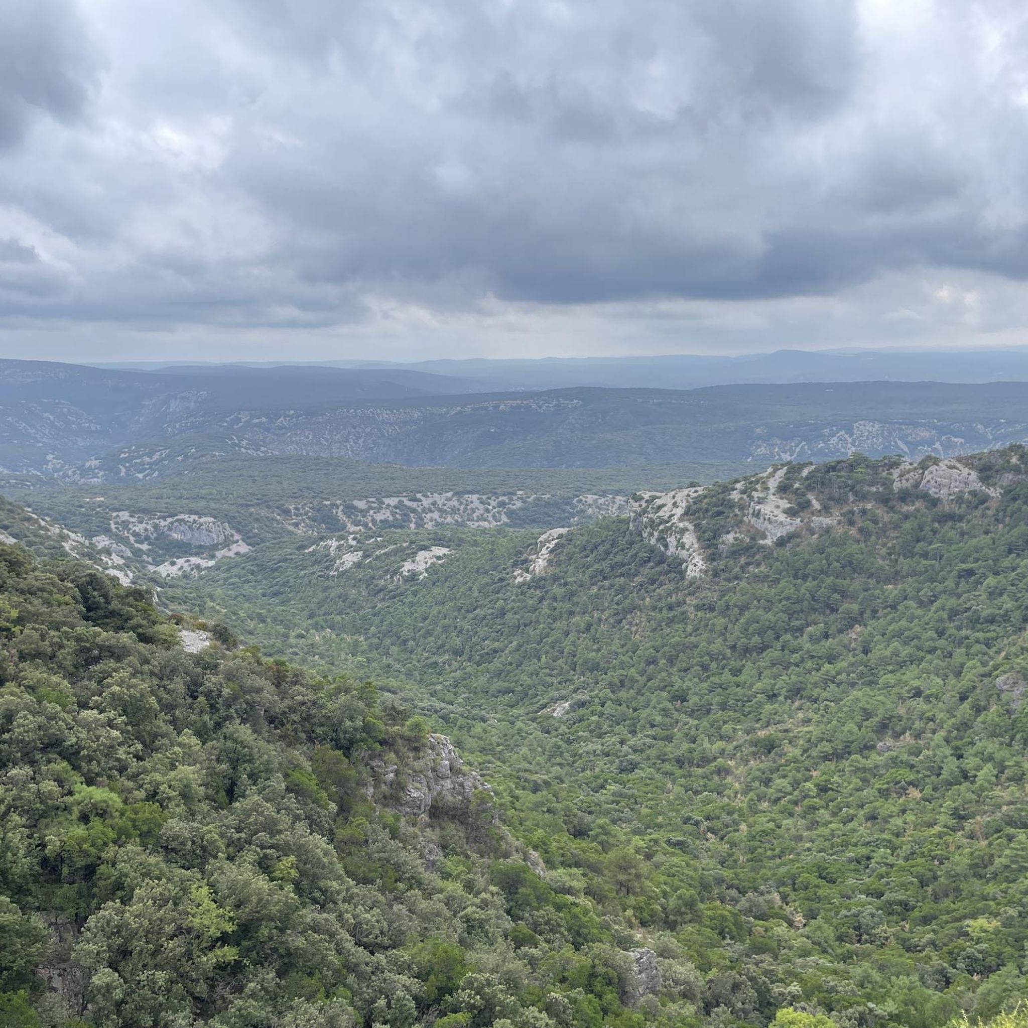
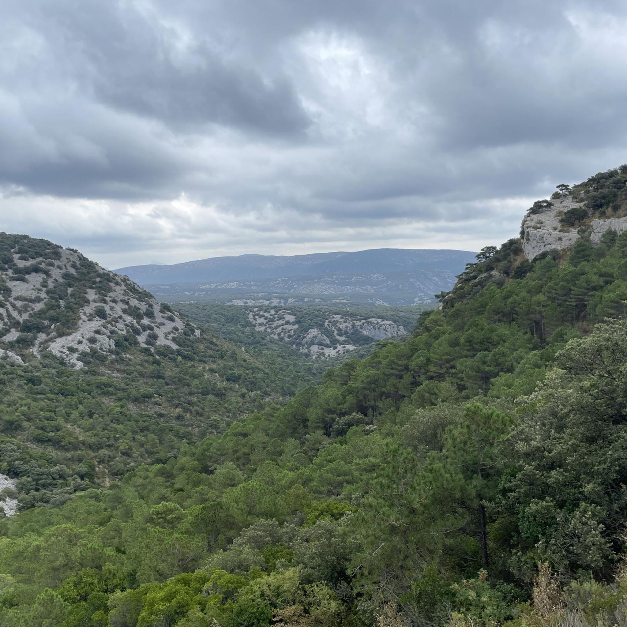
Mountain biking in Réserve Biologique Dirigée De Saint-Guillhem-Le-Désert offers a diverse landscape for riders. The region features varied terrain, including mountainous areas around Mount Saint-Baudille, river gorges like the Hérault, and open viewpoints. Trails often traverse a mix of natural paths and rural tracks, providing a range of experiences for different skill levels.
Best mountain bike trails in Réserve Biologique Dirigée De Saint-Guillhem-Le-Désert
- The most popular mountain bike trail is Mount Saint-Baudille – Cirque de l'Infernet loop from Mont Saint-Baudille…
Last updated: July 9, 2026
4.6
(5)
83
riders
35.9km
03:42
990m
990m
Hard mountain bike ride. Very good fitness required. Suitable for all skill levels.
4.0
(24)
77
riders
24.9km
02:22
610m
600m
Moderate mountain bike ride. Good fitness required. Advanced riding skills necessary.

Sign up for free
4.2
(6)
64
riders
32.9km
02:55
490m
490m
Moderate mountain bike ride. Good fitness required. Suitable for all skill levels.
4.7
(9)
52
riders
23.7km
02:33
780m
780m
Moderate mountain bike ride. Good fitness required. Suitable for all skill levels.
4.0
(6)
65
riders
50.1km
05:03
1,340m
1,340m
Hard mountain bike ride. Very good fitness required. Advanced riding skills necessary.
Get access to more routes and recommendations from other explorers.
Sign up for free
Already have an account?
Our route recommendations are based on thousands of hikes, rides, and runs completed by other people on komoot.
Start today with a free account
Your next adventure awaits.
Login or Signup
Popular around Réserve Biologique Dirigée De Saint-Guillhem-Le-Désert
Cycling in Réserve Biologique Dirigée De Saint-Guillhem-Le-Désert
Running Trails in Réserve Biologique Dirigée De Saint-Guillhem-Le-Désert
Road Cycling Routes in Réserve Biologique Dirigée De Saint-Guillhem-Le-Désert
Hiking in Réserve Biologique Dirigée De Saint-Guillhem-Le-Désert
Gravel biking in Réserve Biologique Dirigée De Saint-Guillhem-Le-Désert
Tips from the Community

Beautiful shaded spot with an impressive plane tree!
0
0
Very beautiful place
0
0

From Mont Saint-Baudille, the view is breathtaking! Enjoy the panorama of the Hérault plain, the Mediterranean, Pic Saint Loup, and Canigou!
0
0


The mountain bike climb up the north face is very steep and stony, and we did most of it on foot. The descent to the northeast to Mas d'Aubert is easy.
0
0

Wooden tables and benches allow you to stop in the shade
0
0

a fairly challenging single track, especially in its northern section. I recommend doing it in a south-to-north direction (easier in my opinion).
0
0
A view that's well-earned, but incredible! I arrived via the Northwest trail, and I had to push a bit to reach the summit. I don't know if this spot is accessible from the south by mountain bike; this southern trail is mapped on Komoot but not on IGN.
0
0
Frequently Asked Questions
What types of mountain bike trails can I expect in Réserve Biologique Dirigée De Saint-Guillhem-Le-Désert?
The region offers a diverse range of mountain biking experiences, from easy paths to challenging routes. You'll find trails traversing mountainous areas, river gorges like the Hérault, and open viewpoints. The terrain often mixes natural paths with rural tracks, catering to various skill levels.
Are there easy mountain bike trails suitable for beginners or families?
Yes, there are easy mountain bike trails available. For a relatively gentle ride through scenic river gorges, consider the Devil's Bridge – Hérault Gorges loop from Saint-Jean-de-Fos. This 11.1-mile (17.9 km) route is classified as easy and takes about 1 hour 2 minutes to complete.
Which mountain bike trails are considered difficult in the Réserve Biologique Dirigée De Saint-Guillhem-Le-Désert?
For experienced riders seeking a challenge, difficult trails include the Mount Saint-Baudille – Cirque de l'Infernet loop from Mont Saint-Baudille, which is 29.2 miles (46.9 km) with significant elevation gain. Another demanding option is the Vignes Aniane – Berger Viewpoint loop from Saint-Jean-de-Fos, a 38.7-mile (62.3 km) path featuring substantial climbing and panoramic views.
What is the best season for mountain biking in Réserve Biologique Dirigée De Saint-Guillhem-Le-Désert?
The region generally offers good conditions for mountain biking from spring through autumn. Spring and early autumn provide pleasant temperatures and vibrant scenery. Summer can be hot, so early morning or late afternoon rides are recommended, especially on exposed trails. Always check local weather conditions before heading out.
Are there any circular mountain bike routes in the area?
Many of the mountain bike trails in Réserve Biologique Dirigée De Saint-Guillhem-Le-Désert are designed as loops. Examples include the challenging Mount Saint-Baudille – Cirque de l'Infernet loop from Mont Saint-Baudille and the moderate Castellas of Montpeyroux loop from Saint-Jean-de-Fos.
Where can I find parking for mountain biking trails in Saint-Guillhem-Le-Désert?
Parking availability varies by trailhead. Many routes, such as those starting from Mont Saint-Baudille or Saint-Jean-de-Fos, typically have designated parking areas nearby. It's advisable to check the specific route details on komoot for parking information before your ride.
Are there any scenic viewpoints along the mountain bike trails?
Yes, the region is known for its scenic viewpoints. The Vignes Aniane – Berger Viewpoint loop from Saint-Jean-de-Fos, for instance, offers panoramic views from the Berger Viewpoint. Many trails in the mountainous areas around Mount Saint-Baudille also provide expansive vistas.
How long do mountain bike trails typically take to complete in Réserve Biologique Dirigée De Saint-Guillhem-Le-Désert?
Trail durations vary significantly based on distance and difficulty. Easy routes like the Devil's Bridge – Hérault Gorges loop can be completed in just over an hour. More challenging and longer routes, such as the Mount Saint-Baudille – Cirque de l'Infernet loop, can take over 5 hours.
What do other mountain bikers enjoy most about the trails here?
The komoot community highly rates the mountain biking in Réserve Biologique Dirigée De Saint-Guillhem-Le-Désert, with an average score of 4.5 stars from over 50 reviews. Riders often praise the diverse terrain, from mountainous ascents to river gorges, and the rewarding scenic viewpoints. The variety of routes for all skill levels is also a frequently mentioned positive aspect.
Are there any cafes or places to eat near the mountain bike trails?
The villages surrounding the Réserve Biologique Dirigée De Saint-Guillhem-Le-Désert, such as Saint-Jean-de-Fos and Montpeyroux, offer various options for cafes and restaurants where you can refuel after your ride. It's a good idea to check opening times, especially in smaller villages.
How many mountain bike trails are available in Réserve Biologique Dirigée De Saint-Guillhem-Le-Désert?
There are over 25 mountain bike trails documented in Réserve Biologique Dirigée De Saint-Guillhem-Le-Désert on komoot, offering a wide selection for different preferences and skill levels.
Can I find trails with significant elevation gain for a challenging workout?
Absolutely. The region is characterized by mountainous terrain, providing ample opportunities for challenging climbs. Routes like The monks' descent – Mont Saint-Baudille Summit loop from Saint-Jean-de-Fos feature over 1200 meters of elevation gain, ensuring a demanding ride.
Most popular routes in Réserve Biologique Dirigée De Saint-Guillhem-Le-Désert

Get inspired with the komoot mobile app


Explore more
Browse the best MTB trails in other regions.
