The best mountain hikes in Vall Del Madriu-Perafita-Claror
5.0
(1)
45
hikers
8
hikes
Mountaineering in Vall Del Madriu-Perafita-Claror offers routes through a UNESCO World Heritage site characterized by glacial valleys, high mountain passes, and alpine lakes. The terrain includes rocky ascents, open meadows, and sections through pine forests. This region provides a diverse landscape for experienced mountaineers seeking challenging climbs and remote exploration. The area's natural features make it suitable for advanced mountaineering trails.
Best mountaineering routes in Vall Del Madriu-Perafita-Claror
- The most popular mountaineering route is Coll de Jovell loop from Andorra…
Last updated: August 27, 2026
2
hikers
4.98km
02:39
500m
500m
Hard mountaineering route. Good fitness required. Sure-footedness, sturdy shoes and alpine experience required.
15
hikers
7.80km
03:37
630m
630m
Moderate mountaineering route. Good fitness required. Mostly accessible paths. Sure-footedness required.

Sign up for free
8
hikers
12.0km
05:13
800m
800m
Hard mountaineering route. Very good fitness required. Sure-footedness, sturdy shoes and alpine experience required.
8
hikers
17.4km
07:10
1,130m
1,130m
Hard mountaineering route. Very good fitness required. Mostly accessible paths. Sure-footedness required.
4
hikers
Hard mountaineering route. Very good fitness required. Sure-footedness, sturdy shoes and alpine experience required.
Get access to more routes and recommendations from other explorers.
Sign up for free
Already have an account?
Our route recommendations are based on thousands of hikes, rides, and runs completed by other people on komoot.
Start today with a free account
Your next adventure awaits.
Login or Signup
Popular around Vall Del Madriu-Perafita-Claror

Catalonia and Andorra on the Pyrenean Trail – GR 11
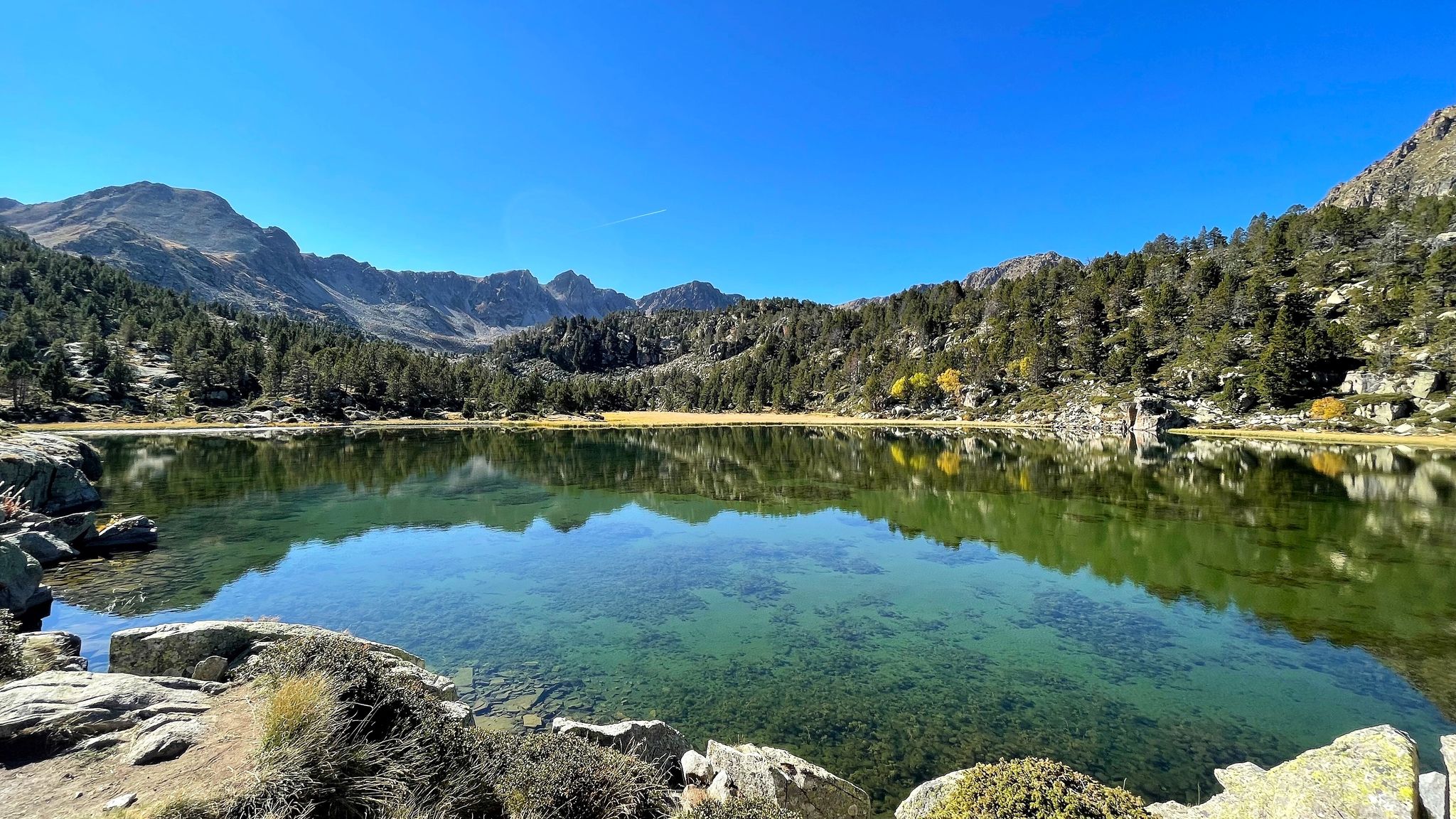
A Pyrenean experience – traversing beautiful Andorra (GR 7)
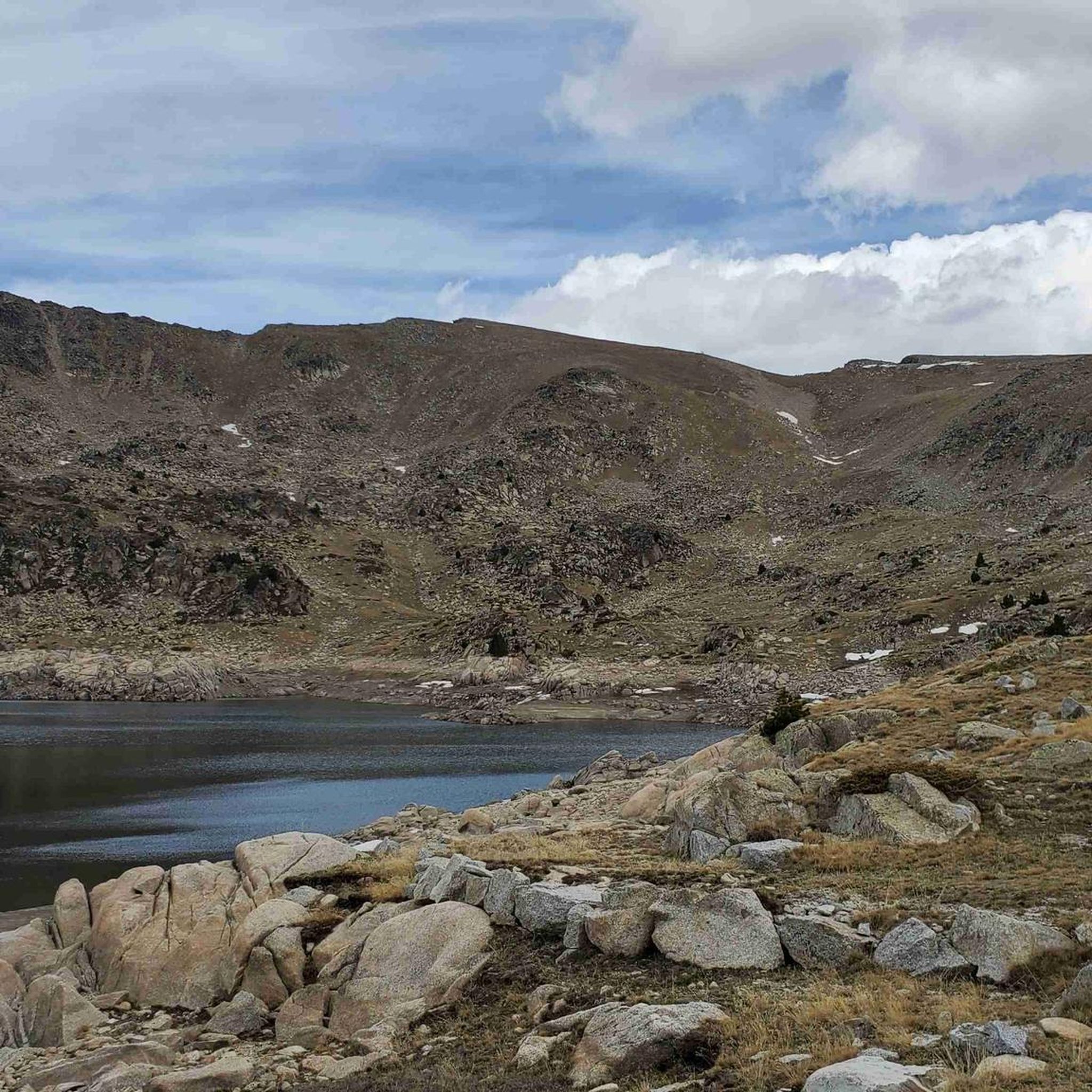
Running Trails in Vall Del Madriu-Perafita-Claror
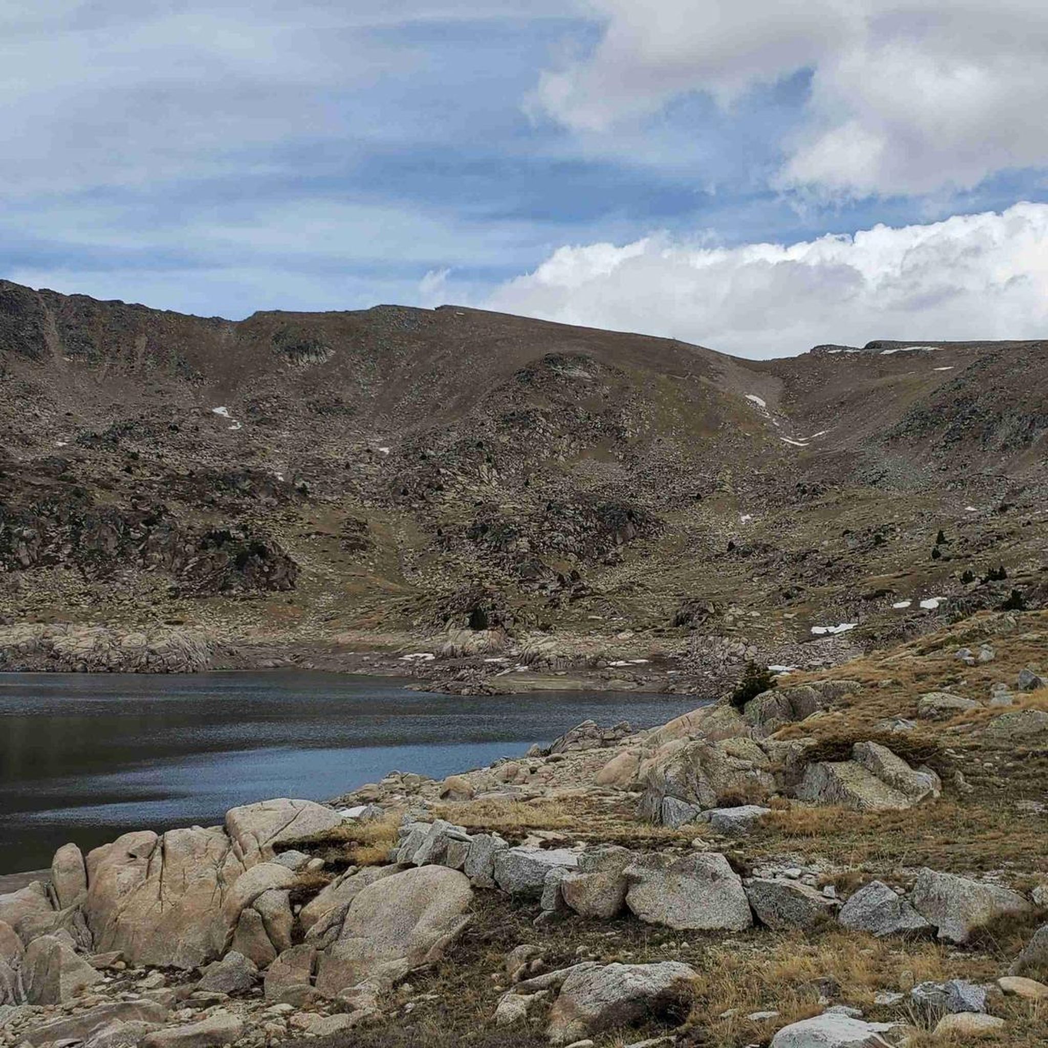
Cycling in Vall Del Madriu-Perafita-Claror
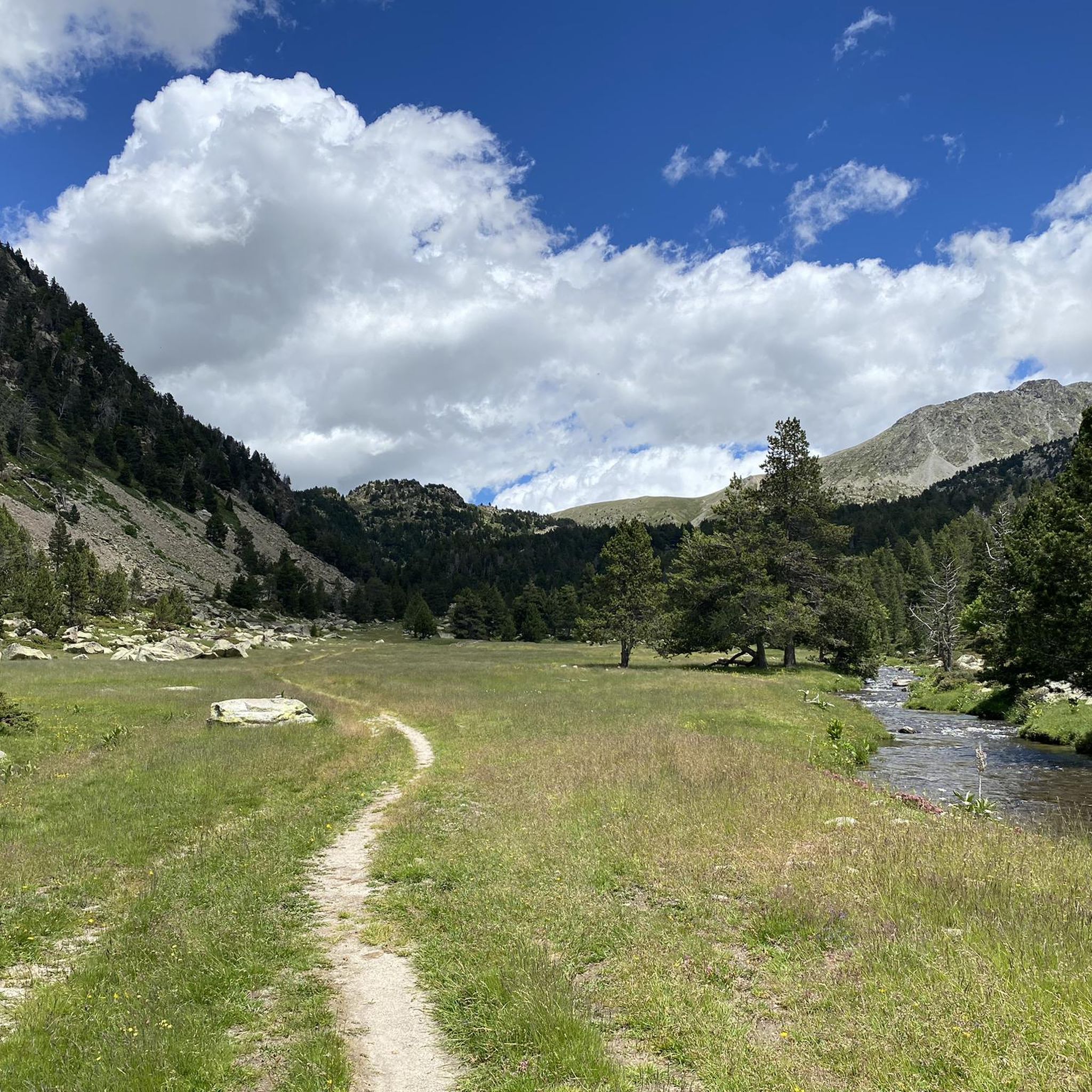
Hiking in Vall Del Madriu-Perafita-Claror
Road Cycling Routes in Vall Del Madriu-Perafita-Claror
MTB Trails in Vall Del Madriu-Perafita-Claror
Gravel biking in Vall Del Madriu-Perafita-Claror
Other adventures in Vall Del Madriu-Perafita-Claror


Tips from the Community

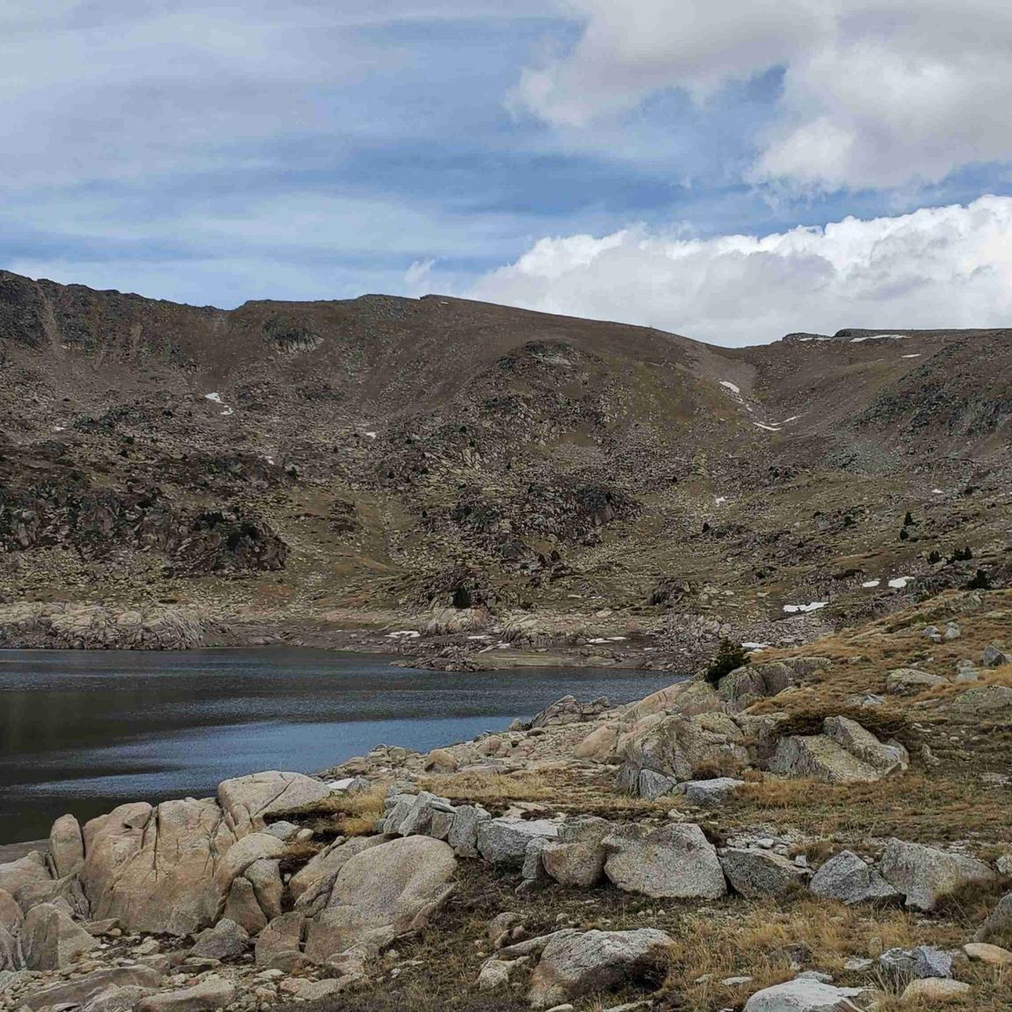
Nestled at a little over 2,200 meters above sea level, the étang de Meligar is a haven of peace suspended above the Soulcem valley. Less frequented than its neighbours, this small glacial lake is surrounded by high-altitude meadows and rocky debris typical of the high Ariège region. It's the ideal spot for a contemplative break to the whistling of marmots, facing the steep peaks that surround it. A pure high-mountain atmosphere, wild and rejuvenating.
0
0

The ascent from Martinet to Cap del Rec is a real challenge: a route of only 16.5 km that accumulates almost 1,000 meters of positive elevation gain!
0
0

After the ascent from the ski stations in the valley of the first of many lakes on this circular hike
1
0

only for experienced hikers Sure-footedness absolutely required fantastic view from the top in good weather not overcrowded
0
0

A free mountain refuge nestled among black pine forests and high meadows, with sweeping views of the Segre Valley. It's a peaceful spot, ideal for sheltering from the wind or taking a break on routes that connect to Cap del Rec or Tossa Plana. The surroundings retain the pure silence of the upper Cerdanya region. By mountain bike, the final approach is via a stony track with a slight incline; it's advisable to lower the saddle and maintain control on the subsequent descent, as ruts and loose stones can be treacherous if you're riding too fast.
0
0
Located at an altitude of 1,960 meters, this refuge is a key point for cyclists and hikers heading towards the Tossa Plana de Lles or the Nordic ski slopes. The refuge combines a mountain atmosphere with comfortable amenities: a bar, a dining room, and a terrace with open views of the Cadí mountain range. It's a good place to stop, have a hot meal, or adjust your bike before continuing the climb. For mountain biking, the track from Lles has an uneven surface and rocky sections; tires with good grip are recommended, as is maintaining a constant cadence, especially on the final bends where the gradient is noticeable.
0
0

A very spectacular summit! I started at the Refugi de l'Illa. A steep but not difficult climb. Good balance is required for the final section.
1
0

‘Meligar’ probably means ‘Melga plantation’; Melga is an alternative name for alfalfa. https://www.cultura.ad/recursos/utilitats/sac-de-paraules
1
0
Frequently Asked Questions
How many mountaineering routes are available in Vall Del Madriu-Perafita-Claror?
There are 12 mountaineering routes documented in Vall Del Madriu-Perafita-Claror on komoot, offering a range of experiences through this UNESCO World Heritage site.
What kind of challenges can I expect on advanced mountaineering routes in Vall Del Madriu-Perafita-Claror?
The region is known for its challenging terrain. You can expect rocky ascents, high mountain passes, and significant elevation gains. For example, the Tossa Plana de Lles – Tosseta de Vallcivera loop from Refugi del Cap del Rec is a difficult 16.9 km route with over 1000 meters of elevation gain, offering a true test of endurance.
Are there any circular mountaineering routes in Vall Del Madriu-Perafita-Claror?
Yes, several routes are designed as loops, allowing you to start and finish in the same location. A notable example is the Coll de Jovell loop from Andorra la Vella, which is a difficult 7.1 km trail through varied alpine terrain.
What is the best time of year for mountaineering in Vall Del Madriu-Perafita-Claror?
The best time for mountaineering in Vall Del Madriu-Perafita-Claror is typically during the warmer months, from late spring to early autumn (June to September), when trails are generally free of snow and weather conditions are more stable. Always check local weather forecasts before heading out.
Are there any family-friendly mountaineering options in the region?
While many routes in Vall Del Madriu-Perafita-Claror are rated moderate to difficult, some shorter sections or less exposed trails might be suitable for families with older, experienced children. However, the region primarily caters to more experienced mountaineers due to its challenging alpine nature. There are no easy routes listed for mountaineering specifically.
What are some interesting natural landmarks or attractions I can see along the routes?
The region is rich in natural beauty. You can encounter stunning alpine lakes like Estany de la Nou and Estany de l'Illa. The Madriu-Perafita-Claror Valley itself is a UNESCO World Heritage site, offering breathtaking glacial landscapes. You might also pass by mountain huts such as Refugi de l'Illa.
Are permits required for mountaineering in Vall Del Madriu-Perafita-Claror?
Generally, permits are not required for hiking or mountaineering on established trails within the Vall Del Madriu-Perafita-Claror. However, it's always advisable to check with local authorities or visitor centers for any specific regulations, especially if planning to access protected areas or engage in activities like climbing that might require special permission.
What do other mountaineers enjoy the most about the routes in Vall Del Madriu-Perafita-Claror?
The routes in Vall Del Madriu-Perafita-Claror are highly rated by the komoot community, with an average score of 5.0 stars from 2 reviews. Mountaineers often praise the expansive views of high mountain lakes, the challenging ascents, and the remote, untouched alpine scenery that defines this UNESCO World Heritage site.
Can I find routes that offer views of multiple high mountain lakes?
Absolutely. The region is characterized by its glacial valleys and numerous alpine lakes. The First Lake – Collada dels Pessons loop from Grau Roig is a prime example, offering expansive views of high mountain lakes and challenging ascents over its 12 km distance.
Are there any routes that lead to prominent summits?
Yes, the region features several prominent peaks. While not all routes directly summit, many offer views or access points to them. For instance, the area includes summits like Pic dels Pessons and Tossa Plana de Lles (2,916 m), which can be objectives on longer, more challenging tours.
What are the typical weather conditions for mountaineering in this region?
Weather in Vall Del Madriu-Perafita-Claror can be highly variable, even in summer, due to its high-altitude alpine environment. Expect rapid changes, including sudden drops in temperature, strong winds, and precipitation. Always be prepared for all four seasons, carry appropriate gear, and check detailed mountain forecasts before and during your trip.
Are there any moderate difficulty mountaineering routes available?
Yes, out of the 12 routes, 5 are classified as moderate difficulty. These routes still offer a significant challenge but might be less demanding than the difficult ones. An example is the Montmalús – Collada de Montmalús loop from Grau Roig, a 7.8 km trail through high mountain scenery.
Most popular routes in Vall Del Madriu-Perafita-Claror
Most popular attractions in Vall Del Madriu-Perafita-Claror

Get inspired with the komoot mobile app


