Réserve Naturelle De L'Île De La Platière
Réserve Naturelle De L'Île De La Platière
The best running trails in Réserve Naturelle De L'Île De La Platière
4.4
(213)
4,510
runners
457
runs
Jogging in Réserve Naturelle De L'Île De La Platière offers routes through a diverse Rhodanian ecosystem, shaped by the Rhône River. The terrain features a mosaic of aquatic environments, including old river arms ("lônes") and ponds, alongside humid alluvial forests and gravel banks. Many trails are generally easy, providing accessible options for various fitness levels within this national nature reserve. The landscape is characterized by the natural evolution of the Rhône, offering a tranquil setting for outdoor exercise.
Best jogging routes in Réserve Naturelle De L'Île De La Platière
- The most popular jogging route is La Côte de Serrières — loop, a 6.2 miles (9.9 km) trail that takes 1 hour 8 minutes to complete. This route includes an ascent offering views over the valley.
- Another top favourite among local runners is View on the valley – Camino Café loop from Saint-Pierre-de-Bœuf, a difficult 12.8 miles (20.6 km) path. This route features significant elevation gain and panoramic viewpoints.
- Local runners also love the Sablons Bridge – Île de Sablons loop from Sablons, a 5.3 miles (8.6 km) trail leading through the island environment, often completed in about 55 minutes.
- Jogging in Réserve Naturelle De L'Île De La Platière is defined by the Rhône river, alluvial forests, and "lônes," offering a network of trails suitable for easy runs, moderate challenges, and more difficult routes. The reserve provides options for different ability levels, from gentle paths to routes with greater elevation.
- The routes in Réserve Naturelle De L'Île De La Platière are highly rated by the komoot community with an average score of 4.3 stars from almost 200 reviews. More than 4000 runners have used komoot to explore Réserve Naturelle De L'Île De La Platière's varied terrain.
Last updated: July 1, 2026
5.0
(2)
31
runners
9.94km
01:08
230m
230m
Moderate run. Good fitness required. Mostly paved surfaces. Suitable for all skill levels.
4.5
(2)
105
runners
Hard run. Very good fitness required. Mostly paved surfaces. Suitable for all skill levels.

Sign up for free
5.0
(3)
78
runners
8.60km
00:55
20m
20m
Moderate run. Good fitness required. Mostly paved surfaces. Suitable for all skill levels.
4.7
(3)
58
runners
9.51km
01:10
240m
240m
Moderate run. Good fitness required. Mostly paved surfaces. Suitable for all skill levels.
5.0
(4)
34
runners
8.72km
00:57
30m
40m
Moderate run. Good fitness required. Mostly paved surfaces. Suitable for all skill levels.
Get access to more routes and recommendations from other explorers.
Sign up for free
Already have an account?
Our route recommendations are based on thousands of hikes, rides, and runs completed by other people on komoot.
Start today with a free account
Your next adventure awaits.
Login or Signup
Popular around Réserve Naturelle De L'Île De La Platière

Tips from the Community

A truly beautiful stretch of the route! The stunning scenery and excellent cycle paths make cycling on the ViaRhôna a very special experience! :-)
0
0
A wonderful stretch of route! The stunning scenery and excellent cycle paths make this bike tour a truly memorable experience!
0
0

Ancient medieval village, clinging to the mountainside. To visit
0
0

Small road that crosses the beautiful stone hamlet of Haut Larin.
0
0
From here the panorama is turned towards the Pilat massif.
0
0
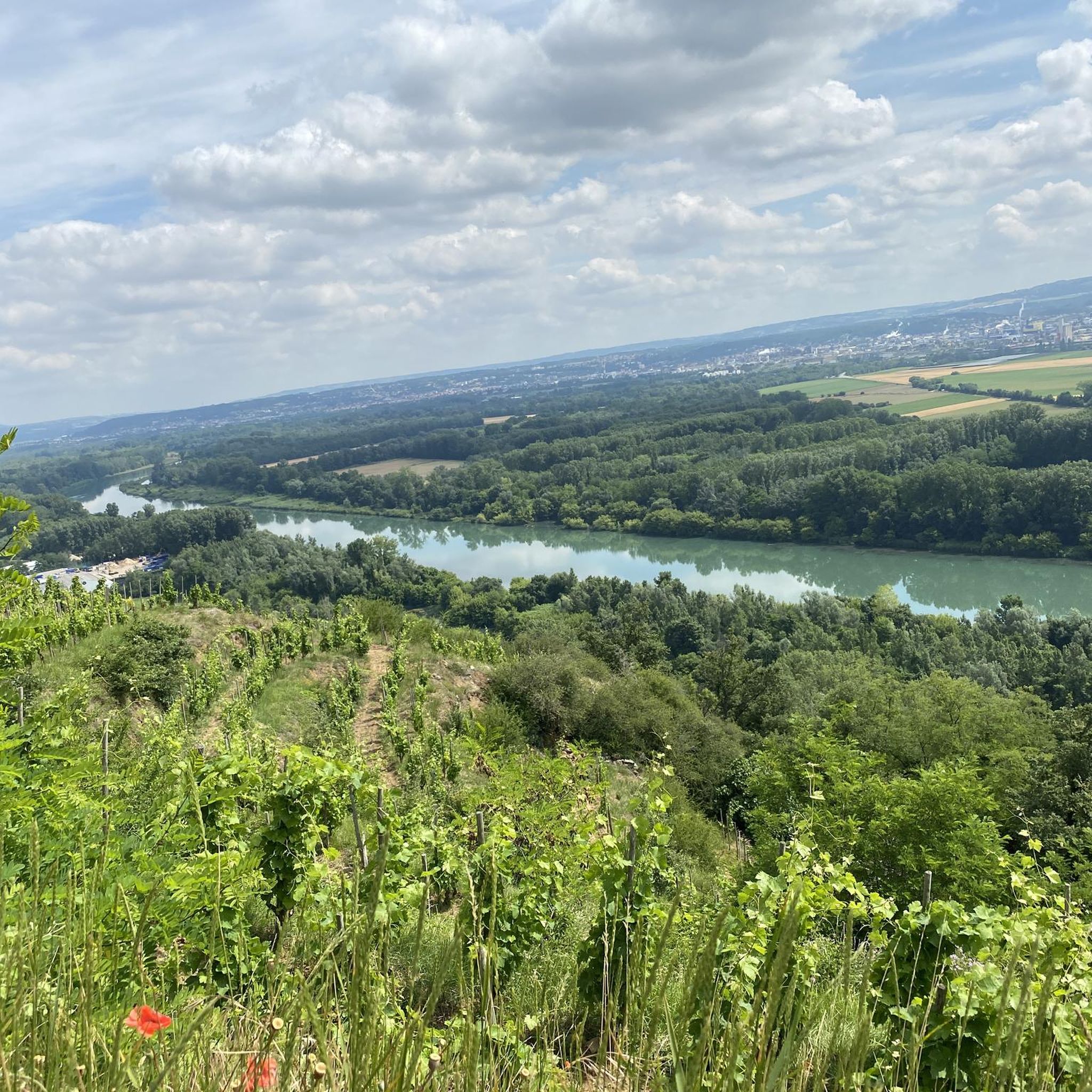
Viewpoint over the Rhône valley and the Île de la Platière nature reserve upstream from Serrières.
0
0

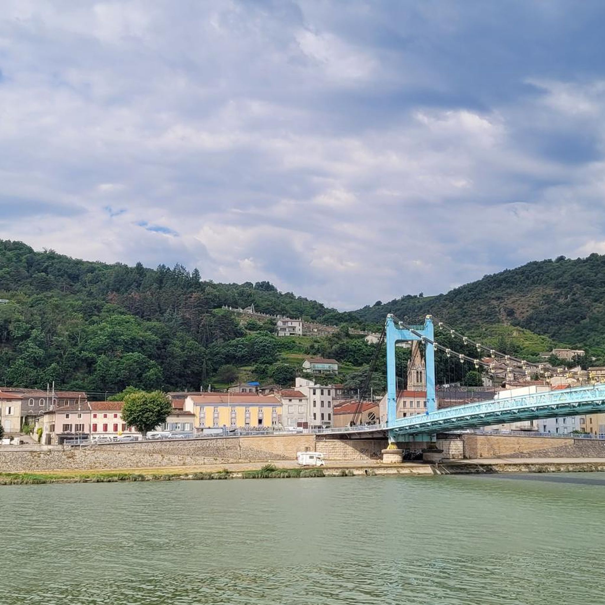
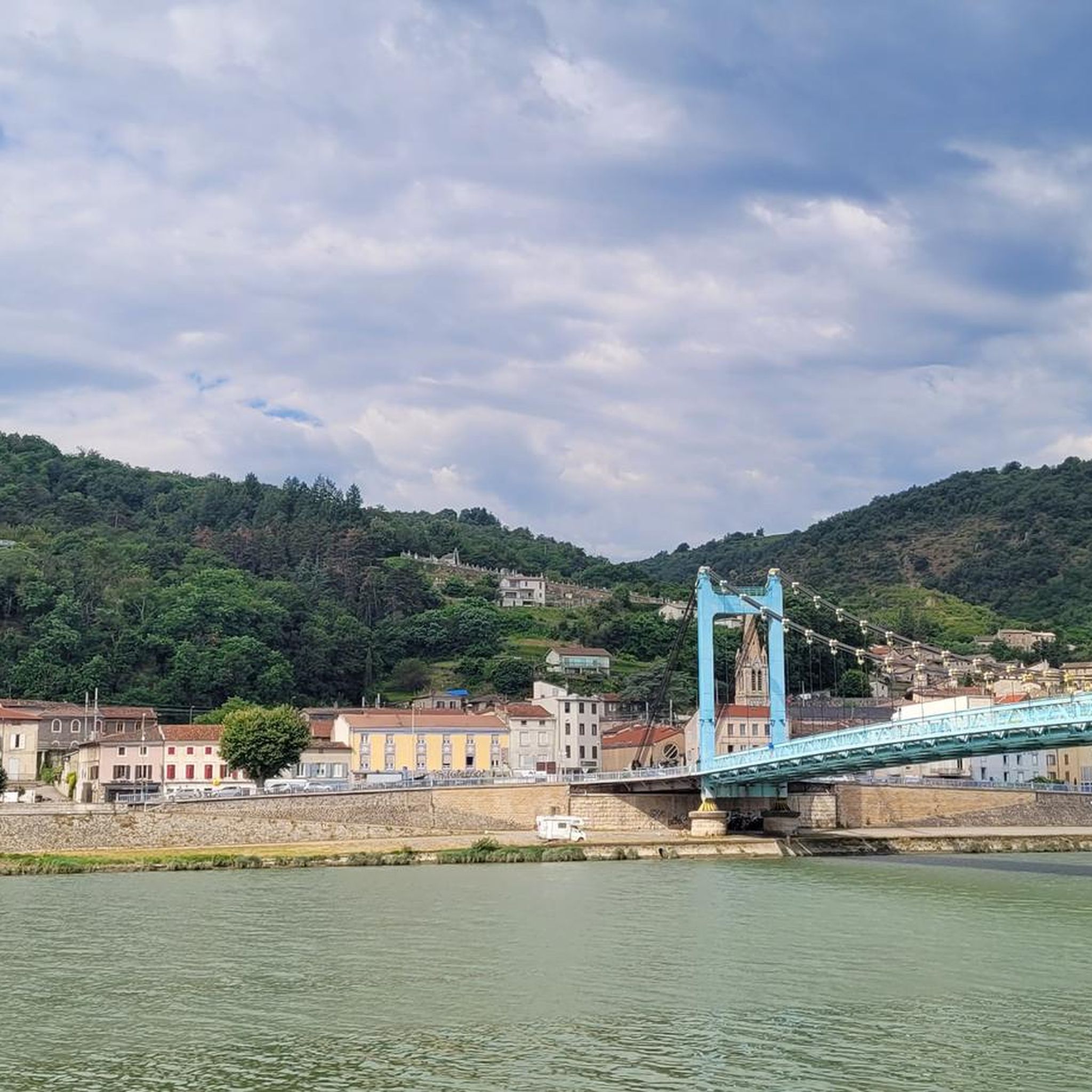
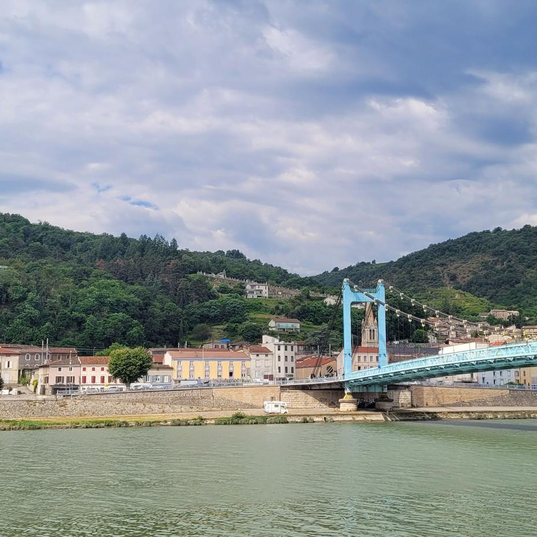
From the ViaRhôna, you can enjoy a breathtaking view of Saint-Pierre-de-Bœuf. Enjoy the scenery!
2
1

Here the Rhone meets the Canal du Rhone. It is right next to the Via Rhôna cycle path. There are plenty of wildlife to watch. An ideal green setting to enjoy nature!
1
0
Frequently Asked Questions
How many running routes are available in Réserve Naturelle De L'Île De La Platière?
There are over 450 running routes available in Réserve Naturelle De L'Île De La Platière, offering a wide variety of options for different preferences and fitness levels.
What types of terrain can I expect on the jogging trails?
The terrain in the reserve is shaped by the Rhône River, featuring a mosaic of aquatic environments like old river arms ("lônes") and ponds, alongside humid alluvial forests, dry meadows, and gravel banks. You'll find paths through dense, jungle-like alluvial forests and along riverbanks, with some routes offering gentle paths and others including moderate elevation.
Are there easy jogging routes suitable for beginners or families?
Yes, Réserve Naturelle De L'Île De La Platière offers around 30 easy jogging routes, many of which are suitable for beginners and families. The reserve's extensive network of marked discovery trails is generally considered easy, making it ideal for all levels. One popular family-friendly option is "La Forêt vagabonde," a 2.2 km route through the alluvial forest.
What are some notable natural features or landmarks to look out for while running?
The reserve is rich in natural features, including the "Vieux Rhône" (Old Rhône) with its vital "lônes" and ponds, and extensive alluvial forests, some of which are untouched "virgin forest." You might spot diverse wildlife like herons, kingfishers, beavers, and various insects. For specific points of interest, consider routes that pass by the Saint-Pierre-de-Bœuf Dam or offer views like the View of Andance.
Are there any jogging routes that offer panoramic views?
Yes, for those seeking scenic vistas, routes like La Côte de Serrières — loop include an ascent that provides impressive views over the valley. Another option is the more challenging View on the valley – Camino Café loop from Saint-Pierre-de-Bœuf, which features significant elevation gain and panoramic viewpoints.
What is the best time of year or day to go jogging in the reserve?
The reserve offers a tranquil environment year-round. Early mornings or evenings are particularly recommended for a peaceful experience and better chances of spotting wildlife. The diverse ecosystem, including wintering sites for thousands of waterfowl, means there's always something to observe.
Can I access the reserve using public transport or find parking easily?
Many paths are easily accessible, with some starting directly from parking areas. The reserve can also be reached via the ViaRhôna, with bicycle parking available. To access certain parts, like the heart of the island where "La Forêt vagabonde" is located, a self-operated chain ferry crosses the lône Platière, though its operation depends on water levels.
Are there any circular jogging routes in the area?
Yes, many of the jogging routes in Réserve Naturelle De L'Île De La Platière are circular. For example, the Sablons Bridge – Île de Sablons loop from Sablons is a popular 8.6 km trail that takes you through the island environment. Another option is the Running loop from Sablons.
What do other runners enjoy most about jogging in Réserve Naturelle De L'Île De La Platière?
The area is highly rated by the komoot community, with an average score of 4.3 stars from almost 200 reviews. Runners often praise the diverse Rhodanian ecosystem, the tranquil setting, and the variety of trails that cater to different ability levels, from gentle paths to routes with greater elevation. The natural evolution of the Rhône and the rich biodiversity are frequently highlighted.
Are there any places to eat or drink near the jogging routes?
While the reserve focuses on natural preservation, there is a Restaurant und Kajakzentrum nearby. For more options, you might find cafes or restaurants in the surrounding towns like Serrières or Saint-Pierre-de-Bœuf, which are often starting points for routes.
What is the longest jogging route available in the reserve?
One of the longer and more challenging jogging routes is the View on the valley – Camino Café loop from Saint-Pierre-de-Bœuf, which spans approximately 20.6 km (12.8 miles) and features significant elevation gain.
Are the jogging trails suitable for dog walking?
The reserve is a natural area, and while specific regulations for dogs on trails can vary, generally, well-behaved dogs on a leash are permitted on many public paths. It's always advisable to check local signage or the reserve's official guidelines for the most current information regarding pet access to ensure a pleasant experience for everyone and to protect the local wildlife.
Most popular routes in Réserve Naturelle De L'Île De La Platière
Most popular attractions in Réserve Naturelle De L'Île De La Platière

Get inspired with the komoot mobile app


Explore more
Browse the best Running Trails & Routes in other regions.
