The best walks and hikes in Réserve Naturelle De L'Île De La Platière
4.6
(590)
3,506
hikers
333
hikes
Hiking in Réserve Naturelle De L'Île De La Platière offers exploration of a unique alluvial landscape shaped by the Rhône River. The region features extensive alluvial forests, including areas with a "petite jungle" ambiance, alongside diverse wetland environments and dry grasslands. Trails often follow the main river channel and its ancient, calmer branches known as "lônes." The terrain includes varied ecosystems, from frequently flooded areas to higher, drier ground.
Best hiking trails in Réserve Naturelle De L'Île De La Platière
…Last updated: May 28, 2026
4.3
(4)
14
hikers
9.75km
02:55
290m
290m
Moderate hike. Good fitness required. Easily-accessible paths. Suitable for all skill levels.
4.3
(3)
20
hikers
7.23km
02:11
230m
230m
Moderate hike. Good fitness required. Easily-accessible paths. Suitable for all skill levels.

Sign up for free
3.5
(4)
8
hikers
8.79km
02:36
240m
240m
Moderate hike. Good fitness required. Easily-accessible paths. Suitable for all skill levels.
3.5
(2)
6
hikers
12.0km
03:29
290m
290m
Moderate hike. Good fitness required. Easily-accessible paths. Suitable for all skill levels.
5.0
(5)
5
hikers
19.7km
05:39
460m
460m
Hard hike. Very good fitness required. Easily-accessible paths. Suitable for all skill levels.
Get access to more routes and recommendations from other explorers.
Sign up for free
Already have an account?
Our route recommendations are based on thousands of hikes, rides, and runs completed by other people on komoot.
Start today with a free account
Your next adventure awaits.
Login or Signup
Popular around Réserve Naturelle De L'Île De La Platière

Tips from the Community

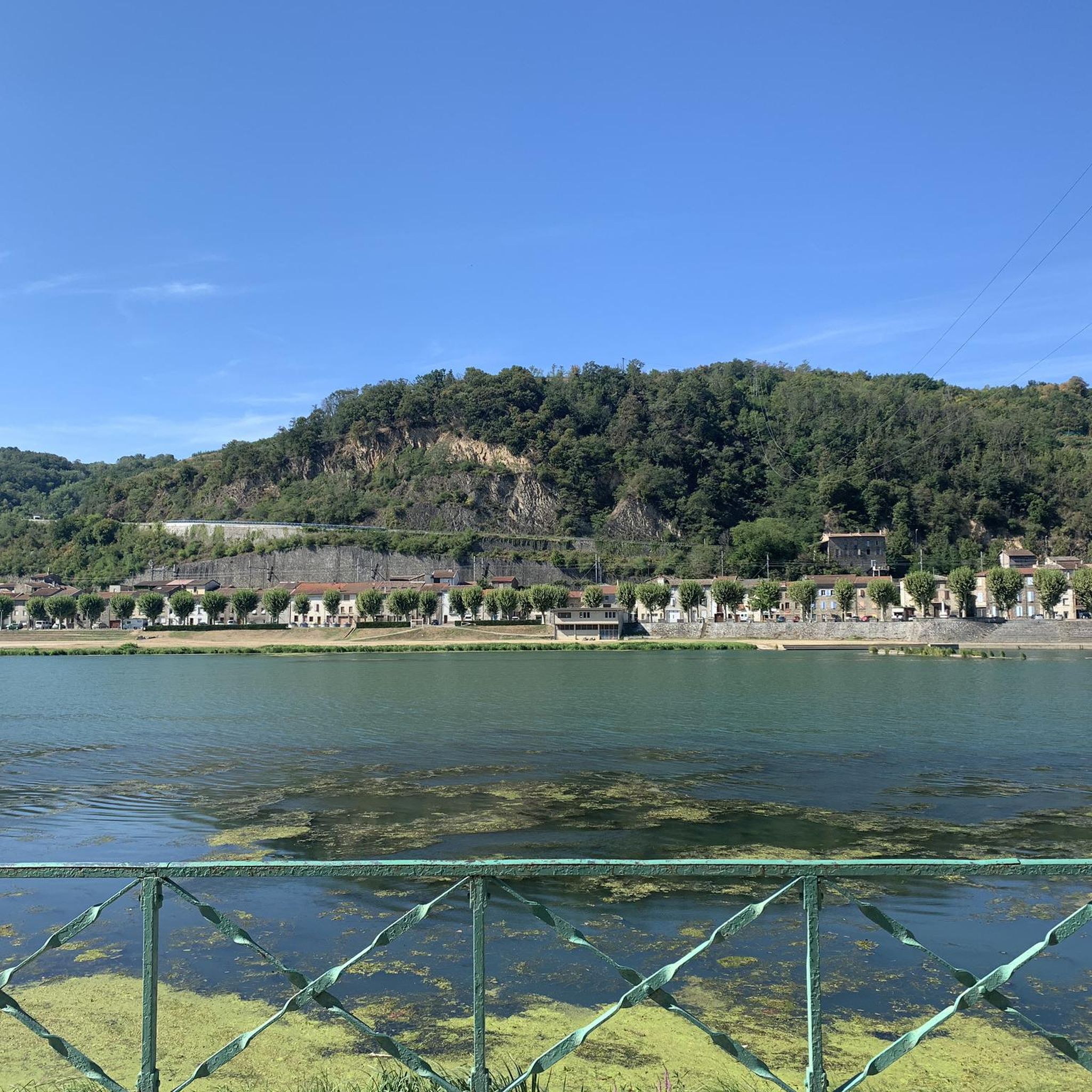
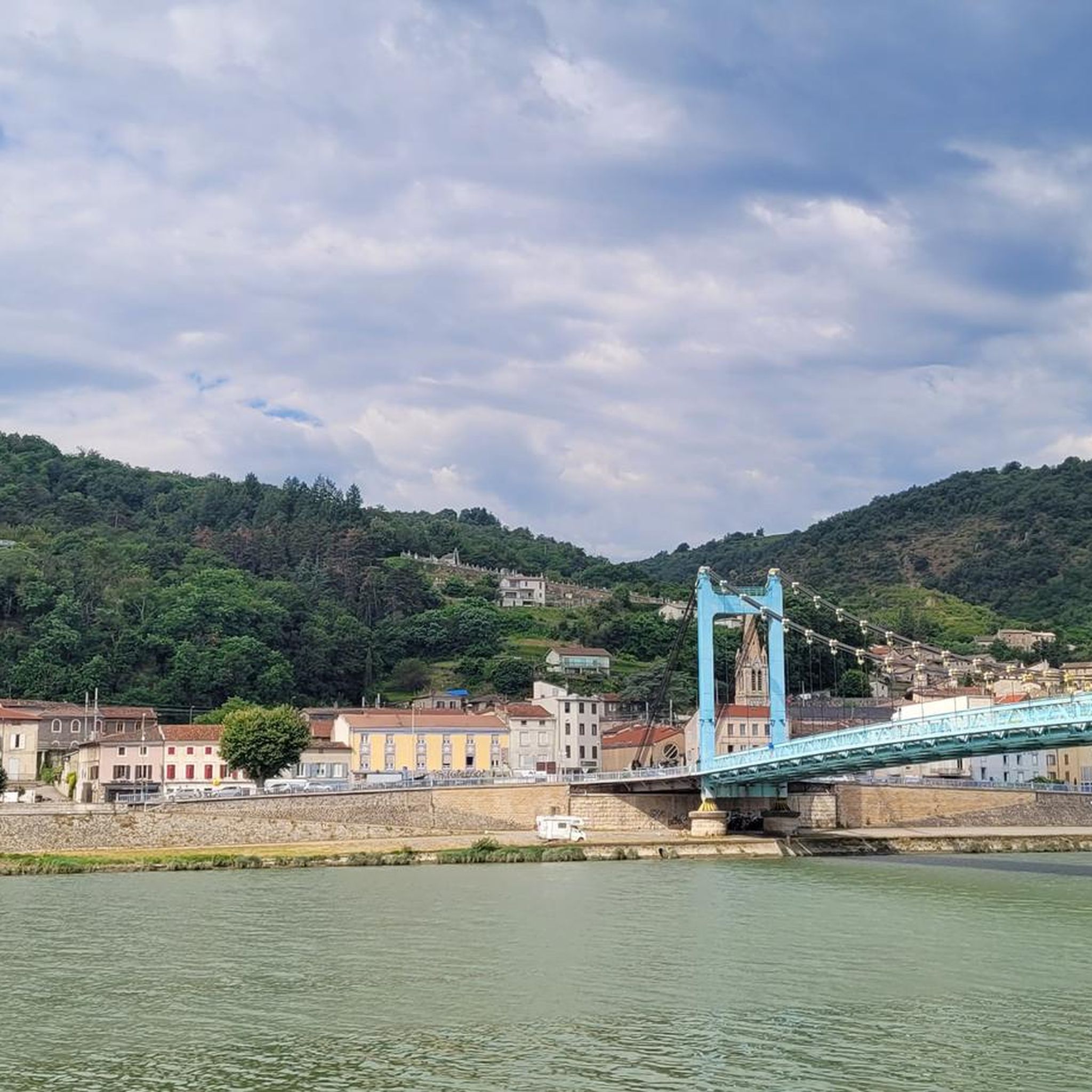
A magnificent spot; bring good shoes for the return trip. Accessible even to children. A beautiful panoramic view of the Rhône.
0
0

Mariners' Museum. Discover the history of the Rhône and how the various cargo vessels traveled.
0
0

Ancient medieval village, clinging to the mountainside. To visit
0
0

Small road that crosses the beautiful stone hamlet of Haut Larin.
0
0
From here the panorama is turned towards the Pilat massif.
0
0
Viewpoint over the Rhône valley and the Île de la Platière nature reserve upstream from Serrières.
0
0

Do not go to the village by car, but park in the parking lot on the N503. From there you can walk up with a path ...
0
0
Frequently Asked Questions
How many hiking trails are available in Réserve Naturelle De L'Île De La Platière?
There are over 300 hiking routes in Réserve Naturelle De L'Île De La Platière, catering to various skill levels. You'll find a wide selection, including over 100 easy trails, nearly 180 moderate options, and around 40 more challenging paths.
What kind of terrain can I expect when hiking in the reserve?
The reserve features a diverse landscape shaped by the Rhône River. You'll encounter extensive alluvial forests, some with a 'petite jungle' ambiance, alongside wetland environments and dry grasslands. Trails often follow the main river channel and its ancient, calmer branches known as 'lônes'. The terrain can vary from frequently flooded areas with willows to higher, drier ground with poplars and ash trees.
Are there any family-friendly hiking options in Réserve Naturelle De L'Île De La Platière?
Yes, the reserve offers several accessible trails suitable for families. The four marked discovery trails, covering over 10 kilometers, are designed to be accessible to all and feature educational panels. An excellent easy option is the Wild island loop from Réserve naturelle de l'île de la Platière, which is just over 5 km long and has minimal elevation gain, making it ideal for a leisurely family outing.
Can I spot any wildlife while hiking in the reserve?
Réserve Naturelle De L'Île De La Platière is a haven for wildlife. You have excellent opportunities to observe various bird species like herons, kingfishers, egrets, and cormorpers, especially from the observatory overlooking the Rhône. With patience, you might even spot beavers along the 'lônes' in the evening. The reserve is also home to diverse insects, including butterflies and dragonflies, particularly in the dry grasslands during warmer months.
Are there any circular hiking routes available?
Yes, many routes in the reserve are circular, allowing you to start and end at the same point. For example, the At the top of Chemin du Port – Madonna of Serrières loop from Sablons is a moderate 8.8 km circular trail that offers a varied experience through the riverine landscapes.
What are some interesting natural features or landmarks to see along the trails?
The reserve is rich in natural features. You can explore the 'lônes' (old river channels) which are vital for wildlife, and the extensive alluvial forests. For specific points of interest, consider visiting the Saint-Pierre-de-Bœuf Dam or enjoying the View of Andance. The reserve also features a unique chain ferry that provides access to the island's core, adding an adventurous element to your hike.
Is there a trail that features a waterfall?
Yes, if you're looking for a trail with a waterfall, consider the Malleval Village – Lorette Waterfall loop from Saint-Pierre-de-Bœuf. This moderate 9.7 km path explores village surroundings and natural water features, including the Lorette Waterfall.
What do other hikers enjoy most about Réserve Naturelle De L'Île De La Platière?
The area is highly rated by the komoot community, with an average score of 4.6 stars from over 550 reviews. Hikers often praise the unique alluvial landscapes, the tranquil 'lônes', and the rich biodiversity, particularly the birdlife. Many appreciate the well-maintained and clearly signposted trails that offer an immersive experience in nature.
What is the best time of year to go hiking in the reserve?
The reserve offers unique experiences throughout the year. Spring and autumn are particularly pleasant for hiking, with mild temperatures and vibrant natural colors. Spring brings blooming flowers to the dry grasslands, while autumn showcases the changing foliage of the alluvial forests. The 'lônes' are vital 'reservoirs of life' year-round, offering serene spaces for wildlife observation.
Are dogs allowed on the trails in Réserve Naturelle De L'Île De La Platière?
While the reserve is a natural habitat, specific regulations regarding dogs can vary. It's generally recommended to keep dogs on a leash to protect the sensitive wildlife and ecosystems, especially during nesting seasons. Please check local signage upon arrival for the most current guidelines.
Is there parking available for hikers?
Yes, parking facilities are typically available near the main access points of the reserve. The marked discovery trails usually have designated parking areas to accommodate visitors. It's advisable to check specific trailheads for detailed parking information before your visit.
How can I get to Réserve Naturelle De L'Île De La Platière using public transport?
Access to the reserve via public transport can be limited, as it is a natural area. However, some nearby towns may offer bus services. It's best to research local bus routes connecting to villages adjacent to the reserve, such as Sablons or Saint-Pierre-de-Bœuf, and then plan to walk or cycle to the reserve's entry points.
Most popular routes in Réserve Naturelle De L'Île De La Platière
Most popular attractions in Réserve Naturelle De L'Île De La Platière

Get inspired with the komoot mobile app


Explore more
Browse the best Hikes in other regions.
