Soren, Gleggen-Köblern, Schweizer Ried Und Birken-Schwarzes Zeug
Soren, Gleggen-Köblern, Schweizer Ried Und Birken-Schwarzes Zeug
The best running trails in Soren, Gleggen-Köblern, Schweizer Ried Und Birken-Schwarzes Zeug
4.5
(618)
24,407
runners
628
runs
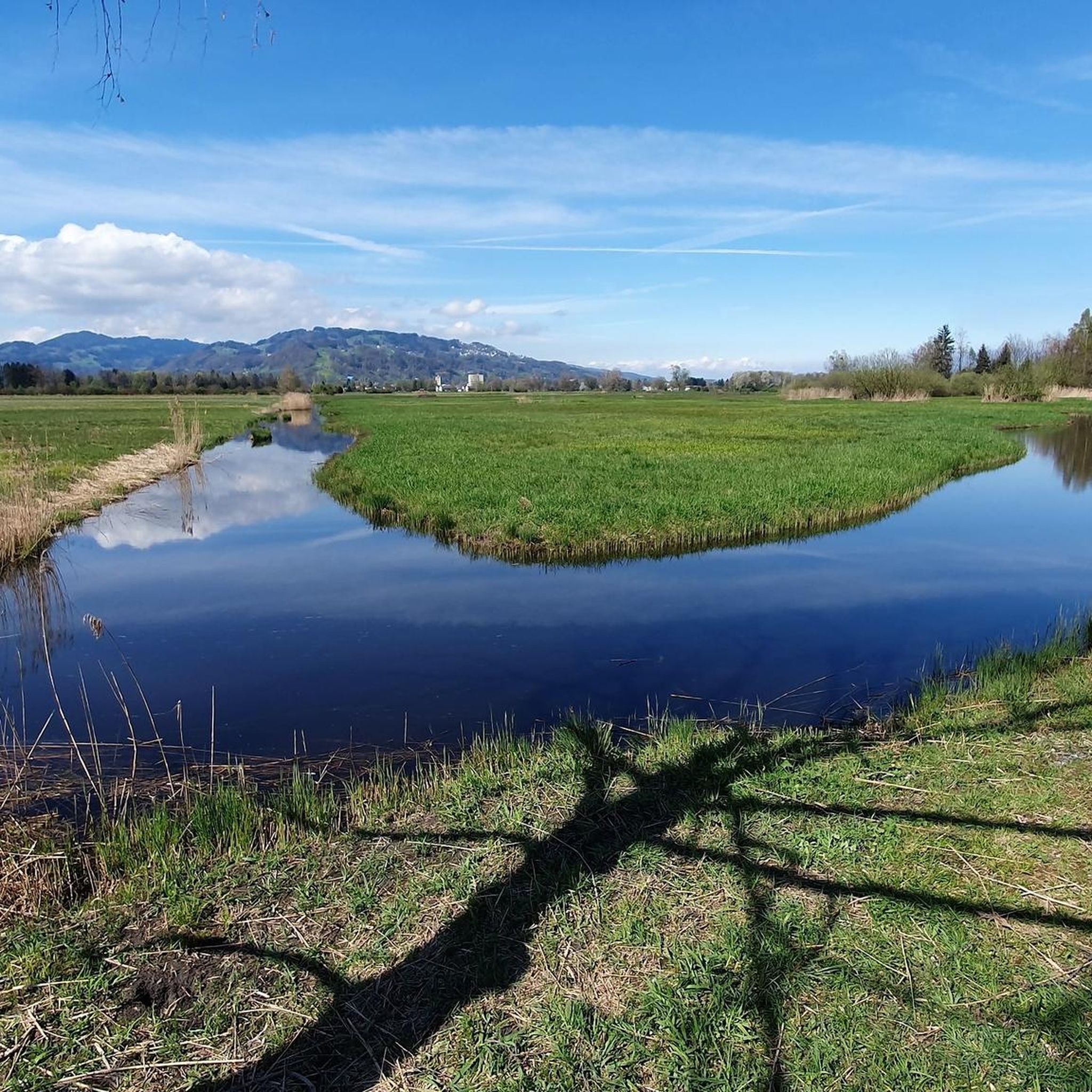
Jogging in Soren, Gleggen-Köblern, Schweizer Ried Und Birken-Schwarzes Zeug offers routes through Vorarlberg's largest moor landscape, characterized by expansive wet meadows and low-lying terrain. This protected area features largely open, treeless environments, providing broad views and minimal gradients. The region's diverse flora and fauna contribute to a rich ecological experience, with paths often winding through traditional Streuwiesen and alongside individual trees or small tree groups.
Best jogging routes in Soren, Gleggen-Köblern, Schweizer Ried Und Birken-Schwarzes Zeug
- The most popular jogging…
Last updated: June 29, 2026
3.0
(1)
35
runners
Moderate run. Good fitness required. Mostly paved surfaces. Suitable for all skill levels.
34
runners
7.63km
00:47
10m
10m
Moderate run. Good fitness required. Mostly paved surfaces. Suitable for all skill levels.

Sign up for free
5.0
(3)
80
runners
9.19km
00:58
20m
20m
Moderate run. Good fitness required. Mostly paved surfaces. Suitable for all skill levels.
3.5
(2)
53
runners
Moderate run. Good fitness required. Mostly paved surfaces. Suitable for all skill levels.
21
runners
6.44km
00:40
20m
20m
Moderate run. Good fitness required. Mostly paved surfaces. Suitable for all skill levels.
Get access to more routes and recommendations from other explorers.
Sign up for free
Already have an account?
Our route recommendations are based on thousands of hikes, rides, and runs completed by other people on komoot.
Start today with a free account
Your next adventure awaits.
Login or Signup
Popular around Soren, Gleggen-Köblern, Schweizer Ried Und Birken-Schwarzes Zeug
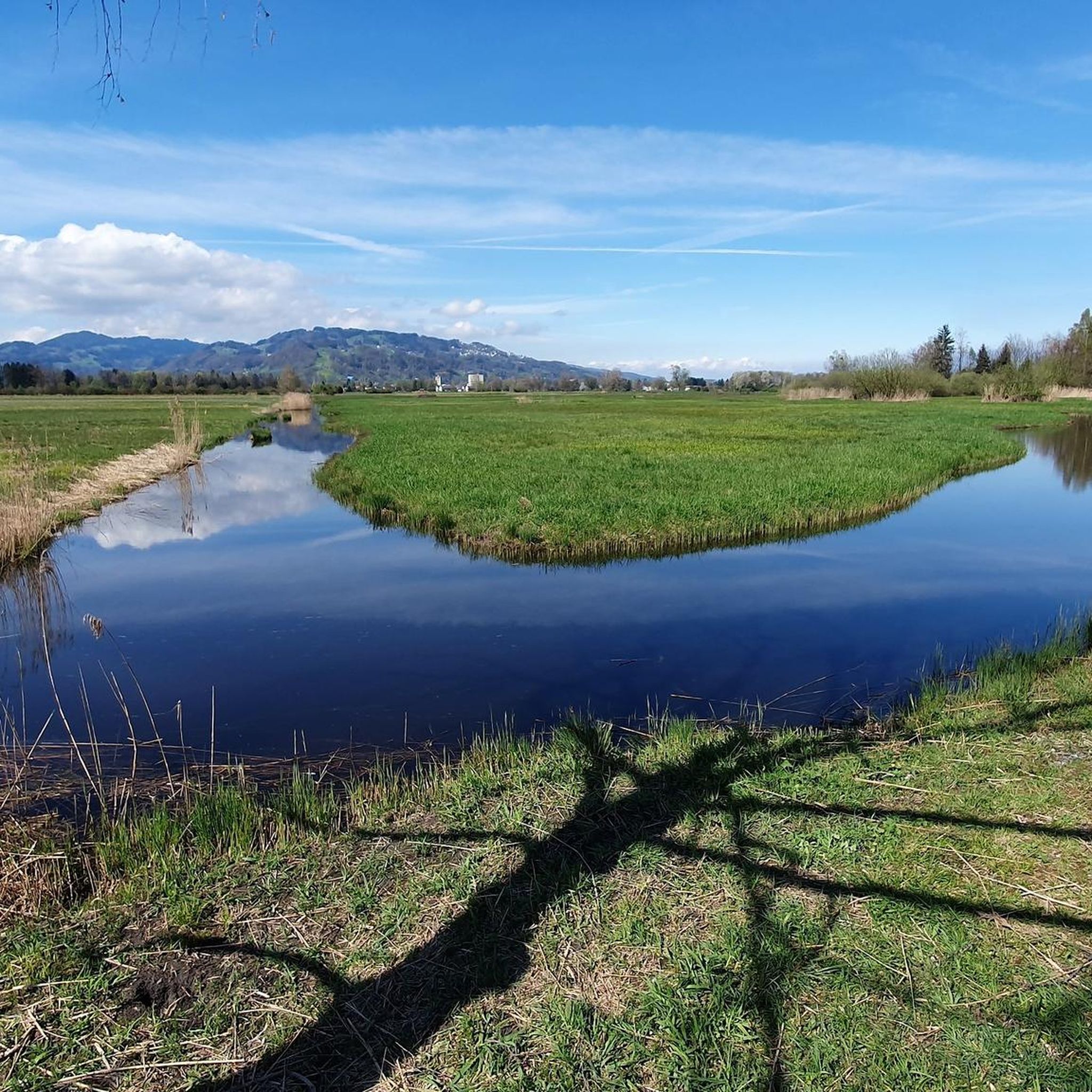
Road Cycling Routes in Soren, Gleggen-Köblern, Schweizer Ried Und Birken-Schwarzes Zeug
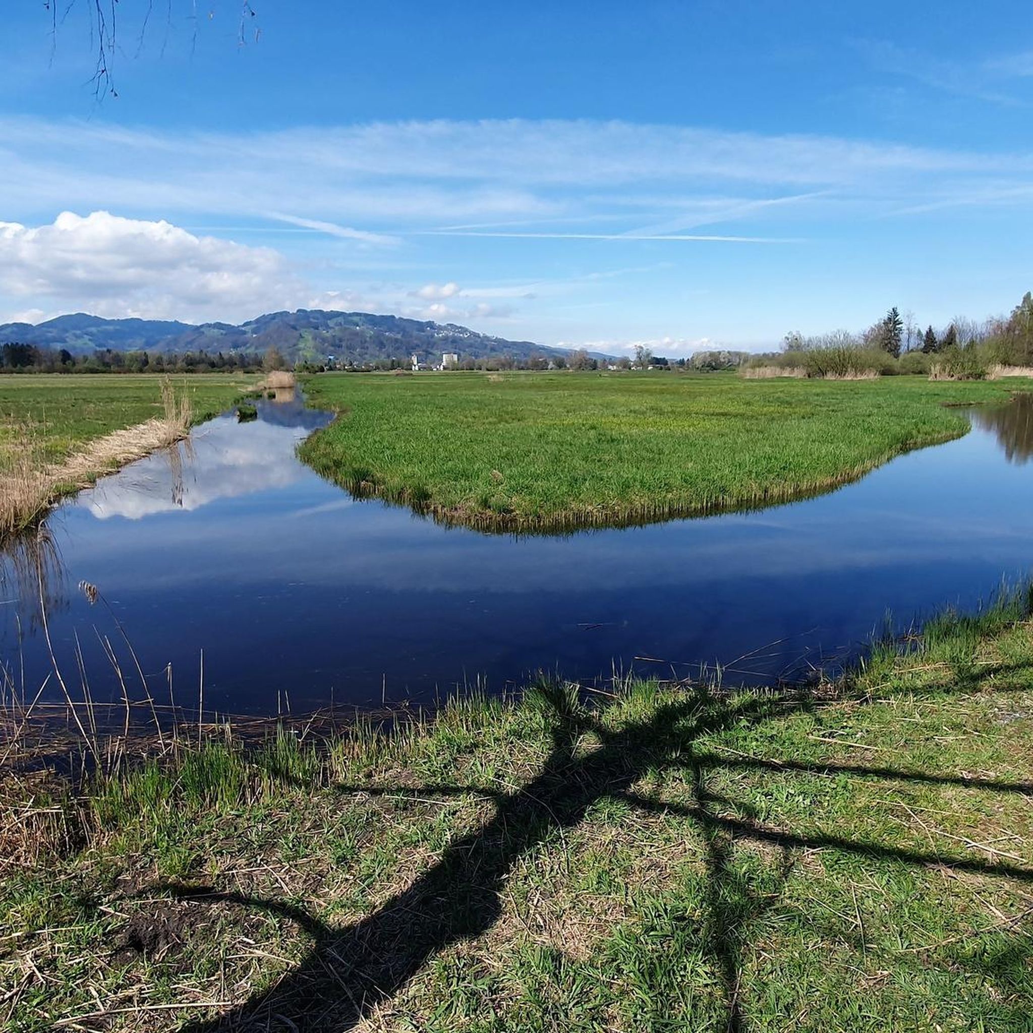
Cycling in Soren, Gleggen-Köblern, Schweizer Ried Und Birken-Schwarzes Zeug
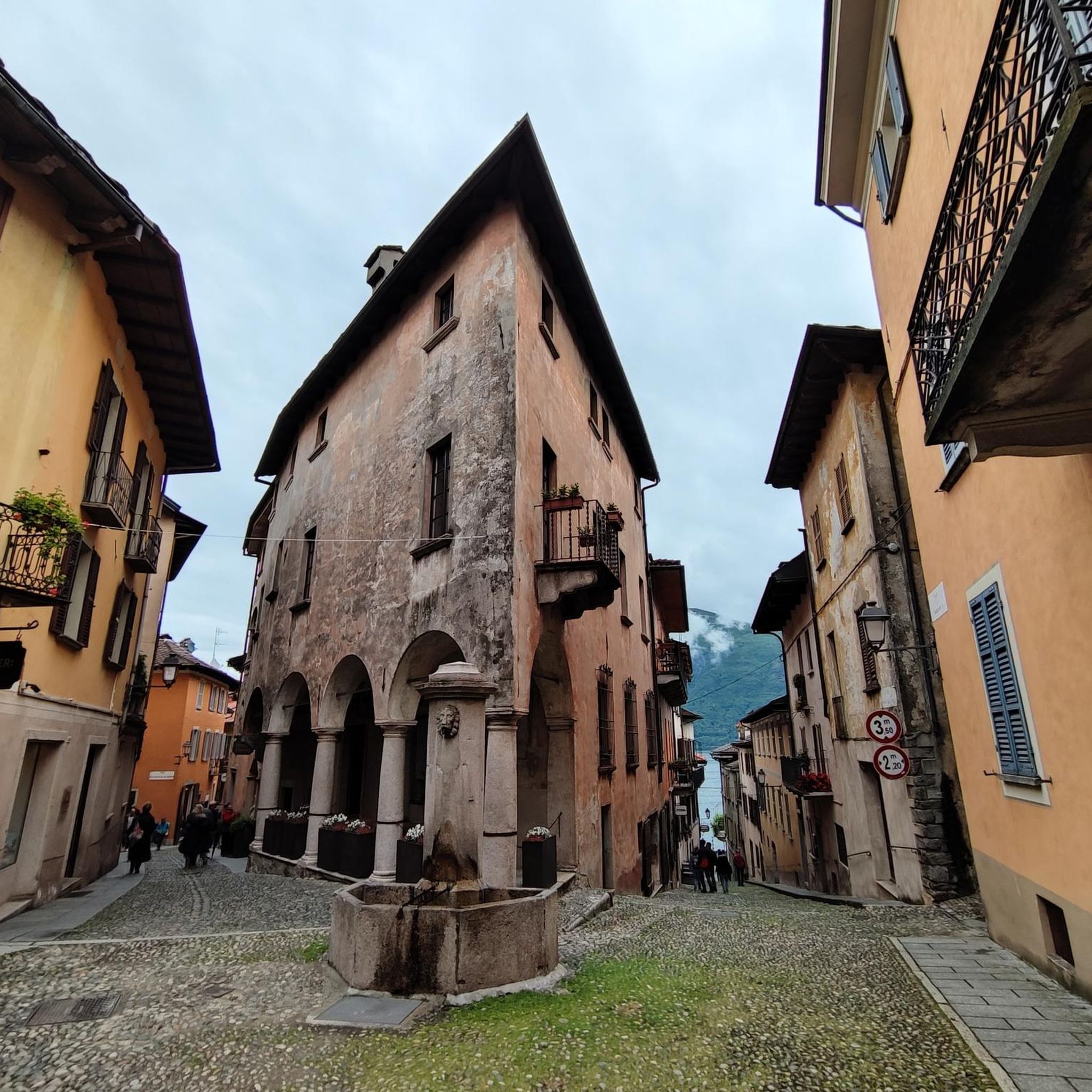
Mountain Hikes in Soren, Gleggen-Köblern, Schweizer Ried Und Birken-Schwarzes Zeug
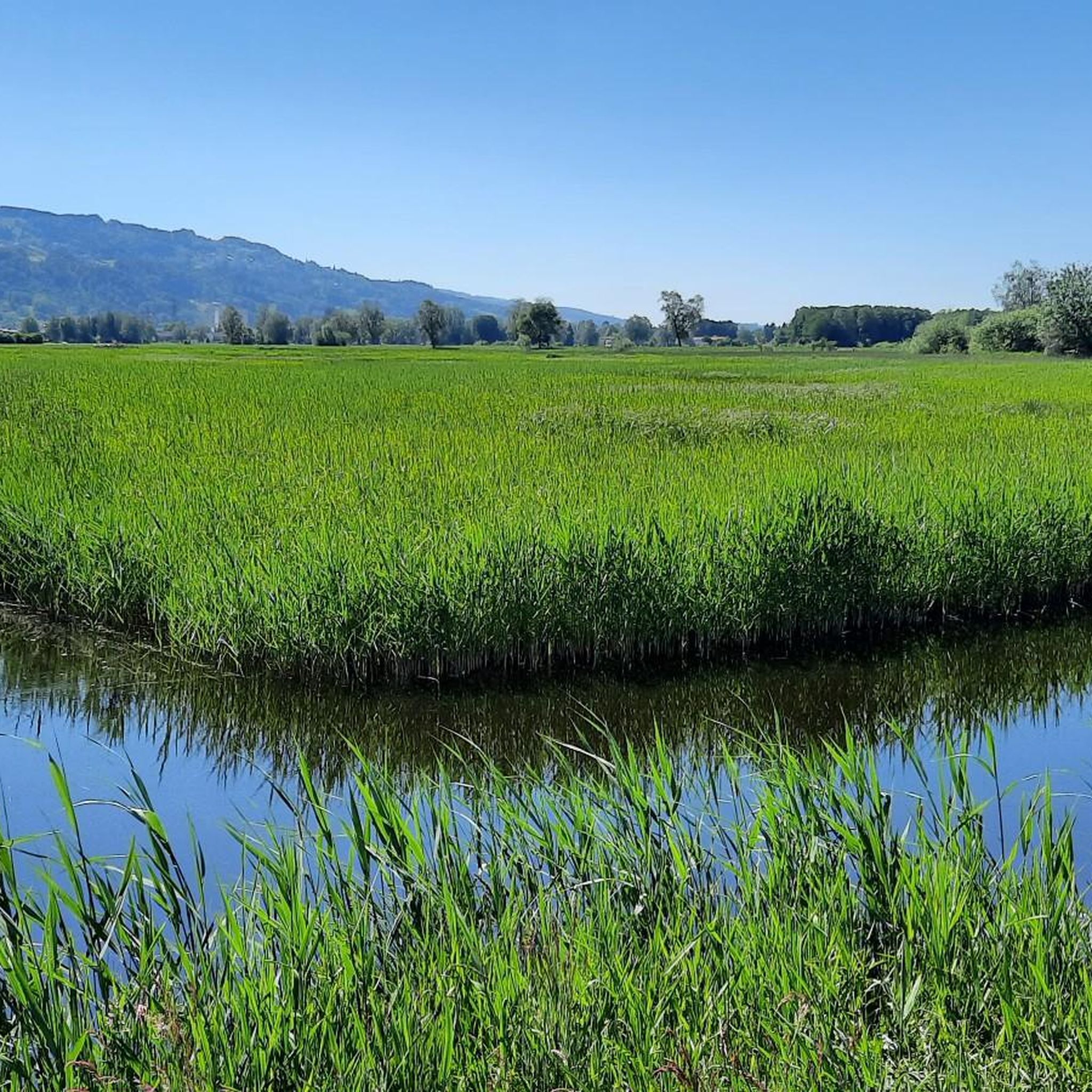
Hiking in Soren, Gleggen-Köblern, Schweizer Ried Und Birken-Schwarzes Zeug
MTB Trails in Soren, Gleggen-Köblern, Schweizer Ried Und Birken-Schwarzes Zeug
Gravel biking in Soren, Gleggen-Köblern, Schweizer Ried Und Birken-Schwarzes Zeug
Tips from the Community

From the city exit, the DornbirnerAch meanders through green meadows in numerous meanders, forming a protected biotope in the Birken – Schwarzes Zeug nature reserve.
1
0

The small paths to the left and right of the Dirnbirner Ache invite you to take a run. Along the Ache in Dornbirn, there are drinking water fountains where you can refresh yourself.
0
0

The disabled toilet is open even in winter, is clean and supplied with paper.
0
0

Beautiful bathing lake in the Lauteracher Ried.😍 Serviced kiosk with toilet facilities available.
4
1

Small, secluded bathing lake with drinking water tap!
1
0

Nice place with a view of the Dornbirner Ach
0
0

Frequently Asked Questions
What kind of terrain can I expect on the running routes in Soren, Gleggen-Köblern, Schweizer Ried Und Birken-Schwarzes Zeug?
The region is characterized by its expansive moor landscape and traditional wet meadows (Streuwiesen). You'll find largely open, treeless environments offering broad views and minimal gradients, making it ideal for running. While generally flat, routes may include individual trees, small tree groups, and agricultural land, providing a varied visual experience.
How many jogging routes are available in this protected area?
There are over 600 running routes available in Soren, Gleggen-Köblern, Schweizer Ried Und Birken-Schwarzes Zeug, catering to various fitness levels. This includes a good mix of easy, moderate, and difficult options.
Are there any easy running routes suitable for beginners or a relaxed jog?
Yes, the area offers 31 easy running routes. These paths are generally flat with minimal gradients, perfect for beginners or those looking for a leisurely run through the serene moor landscape.
What do other runners say about the trails in Soren, Gleggen-Köblern, Schweizer Ried Und Birken-Schwarzes Zeug?
The running routes in this area are highly rated by the komoot community, with an average score of 4.5 stars from over 500 reviews. More than 22,000 runners have explored the varied terrain, often praising the tranquil atmosphere and the unique natural beauty of the moor landscape.
Are there any circular running routes in the region?
Yes, many routes in the area are circular. For example, the Cross at Auer Ried loop from Soren, Gleggen-Köblern, Schweizer Ried und Birken-Schwarzes Zeug is a popular moderate 6.2 km (3.8 miles) option that offers great views across the open moorland.
Can I find running routes that pass by interesting sights or landmarks?
Absolutely. While running, you might encounter points of interest such as the Cross at Auer Ried, or enjoy views from the Bench by the Ried pond. The area also features information points like Auer Ried Information, providing insights into the unique ecosystem.
What is the best time of year to go running in Soren, Gleggen-Köblern, Schweizer Ried Und Birken-Schwarzes Zeug?
The region's open moor landscape and wet meadows are beautiful throughout the year. However, spring and autumn offer particularly pleasant temperatures for running, and you can witness the changing colors of the landscape. In autumn, the traditional practice of mowing the meadows reveals their unique biodiversity.
Are there any longer running routes for more experienced runners?
Yes, for those seeking a longer challenge, routes like the Dornbirn Cycle Path – Jannersee loop from Lauterach cover about 9.2 km (5.7 miles) and lead through varied terrain, including cycle paths and natural areas. There are also 170 difficult routes available for experienced runners.
What makes the nature in this area special for running?
The area is Vorarlberg's largest moor landscape, a Natura 2000 protected area. It's a biodiversity hotspot, crucial for endangered plant and animal species, including meadow birds. Running here offers a chance to experience unique flora like peat moss and cotton grass in a serene, open environment.
Are there any running routes that start from nearby towns like Lustenau or Lauterach?
Yes, the trail network extends to surrounding municipalities. For instance, you can start a run like the Cross at Auer Ried loop from Lustenau, which is a moderate 7.6 km (4.7 miles) path traversing the flat landscape and wet meadows. Another option is the Dornbirn Cycle Path – Jannersee loop from Lauterach.
What kind of wildlife might I spot while running in the region?
As a vital breeding ground for meadow birds in Austria and a biodiversity hotspot, the area offers opportunities to spot various bird species. You might also encounter specialized moor plants like peat moss, cotton grass, and sundew, contributing to a rich ecological experience.
Are the running paths well-maintained and easy to navigate?
The region's trail networks are generally well-developed, especially in surrounding municipalities like Dornbirn, which boasts 140 kilometers of signposted routes. While running in the protected moor landscape, it's important to stay on designated paths to protect the sensitive ecosystem.
Most popular routes in Soren, Gleggen-Köblern, Schweizer Ried Und Birken-Schwarzes Zeug
Most popular attractions in Soren, Gleggen-Köblern, Schweizer Ried Und Birken-Schwarzes Zeug

Get inspired with the komoot mobile app


Explore more
Browse the best Running Trails & Routes in other regions.
