Soren, Gleggen-Köblern, Schweizer Ried Und Birken-Schwarzes Zeug
Soren, Gleggen-Köblern, Schweizer Ried Und Birken-Schwarzes Zeug
The best mountain hikes in Soren, Gleggen-Köblern, Schweizer Ried Und Birken-Schwarzes Zeug
4.8
(135)
1,164
hikers
61
hikes
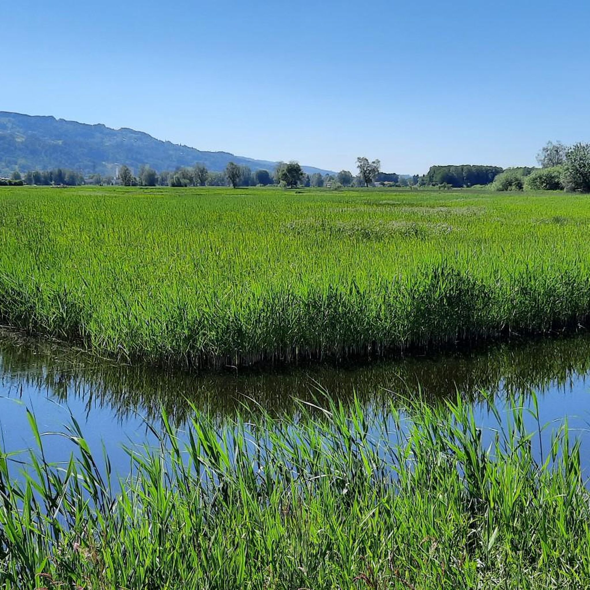
Mountaineering routes in Soren, Gleggen-Köblern, Schweizer Ried Und Birken-Schwarzes Zeug are primarily located in the surrounding higher alpine regions of Vorarlberg, Austria, and Switzerland. The immediate protected area is characterized by flat moorland and wet meadows at approximately 400 meters above sea level, offering minimal elevation change. Mountaineering in these broader regions involves challenging terrain, including rocks, gorges, and snowy crags, with opportunities for alpine climbing and via ferratas. The landscape features diverse elevation changes and historical landmarks.
Best mountaineering…
Last updated: July 7, 2026
5.0
(1)
11
hikers
13.2km
04:18
540m
540m
Moderate mountaineering route. Good fitness required. Mostly accessible paths. Sure-footedness required.
4.7
(22)
156
hikers
2.59km
01:07
170m
170m
Hard mountaineering route. Great for any fitness level. Sure-footedness, sturdy shoes and alpine experience required.

Sign up for free
4.7
(3)
48
hikers
6.72km
02:38
310m
310m
Hard mountaineering route. Good fitness required. Sure-footedness, sturdy shoes and alpine experience required.
4.7
(27)
171
hikers
3.69km
01:27
210m
210m
Hard mountaineering route. Great for any fitness level. Sure-footedness, sturdy shoes and alpine experience required.
5.0
(2)
51
hikers
9.74km
03:22
530m
530m
Moderate mountaineering route. Good fitness required. Easily-accessible paths. Suitable for all skill levels.
Get access to more routes and recommendations from other explorers.
Sign up for free
Already have an account?
Our route recommendations are based on thousands of hikes, rides, and runs completed by other people on komoot.
Start today with a free account
Your next adventure awaits.
Login or Signup
Popular around Soren, Gleggen-Köblern, Schweizer Ried Und Birken-Schwarzes Zeug
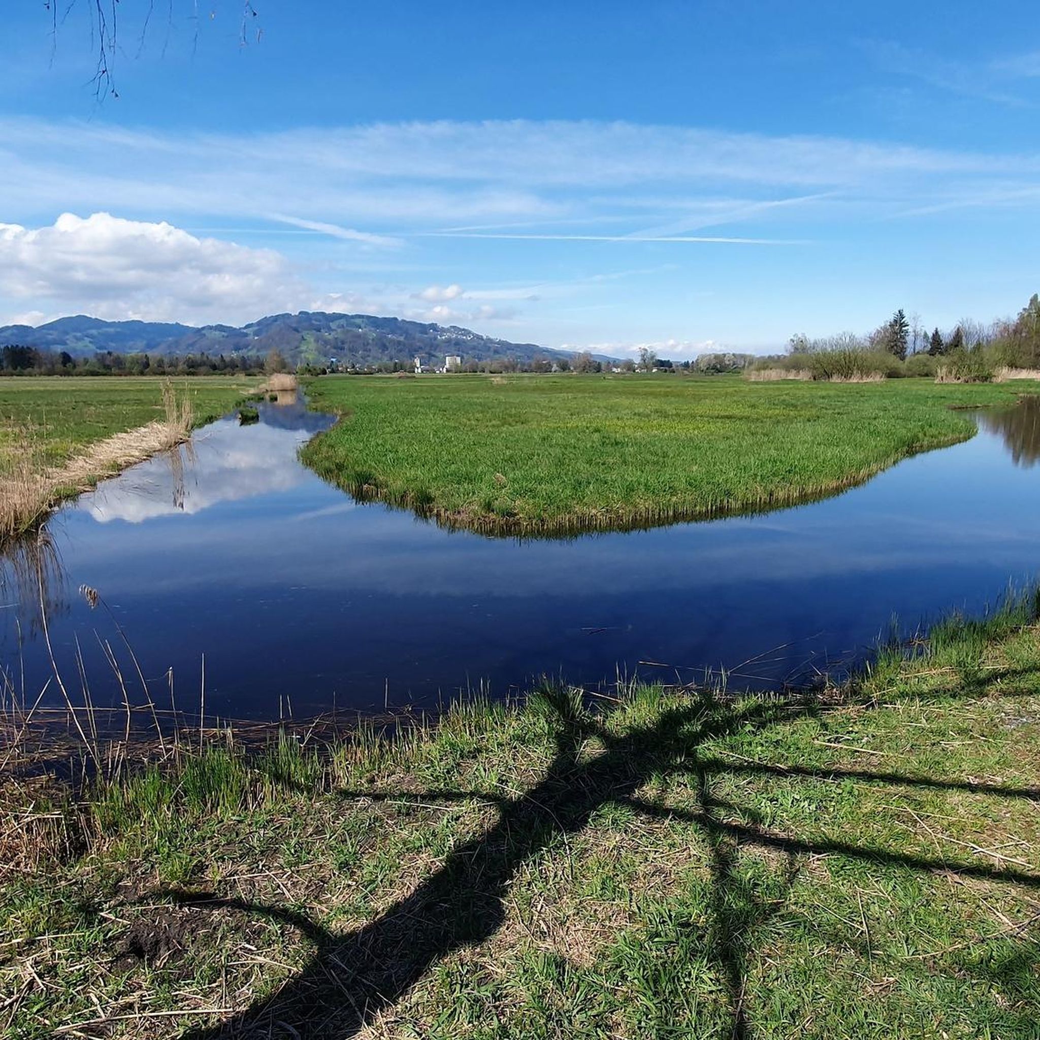
Road Cycling Routes in Soren, Gleggen-Köblern, Schweizer Ried Und Birken-Schwarzes Zeug
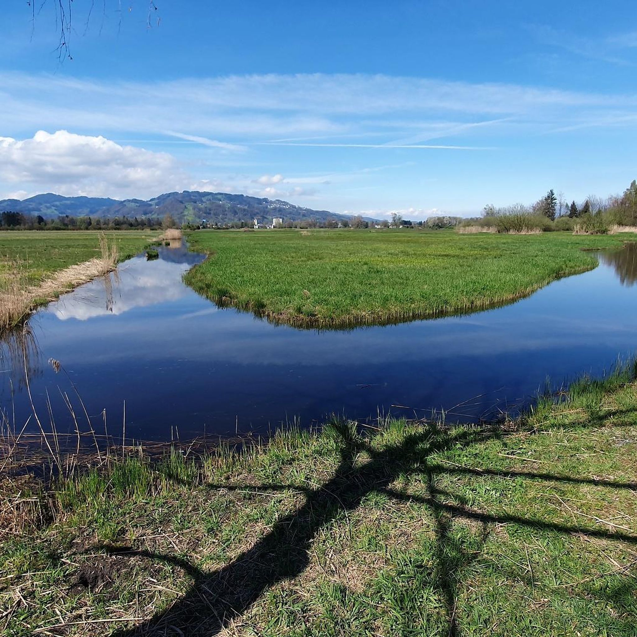
Cycling in Soren, Gleggen-Köblern, Schweizer Ried Und Birken-Schwarzes Zeug
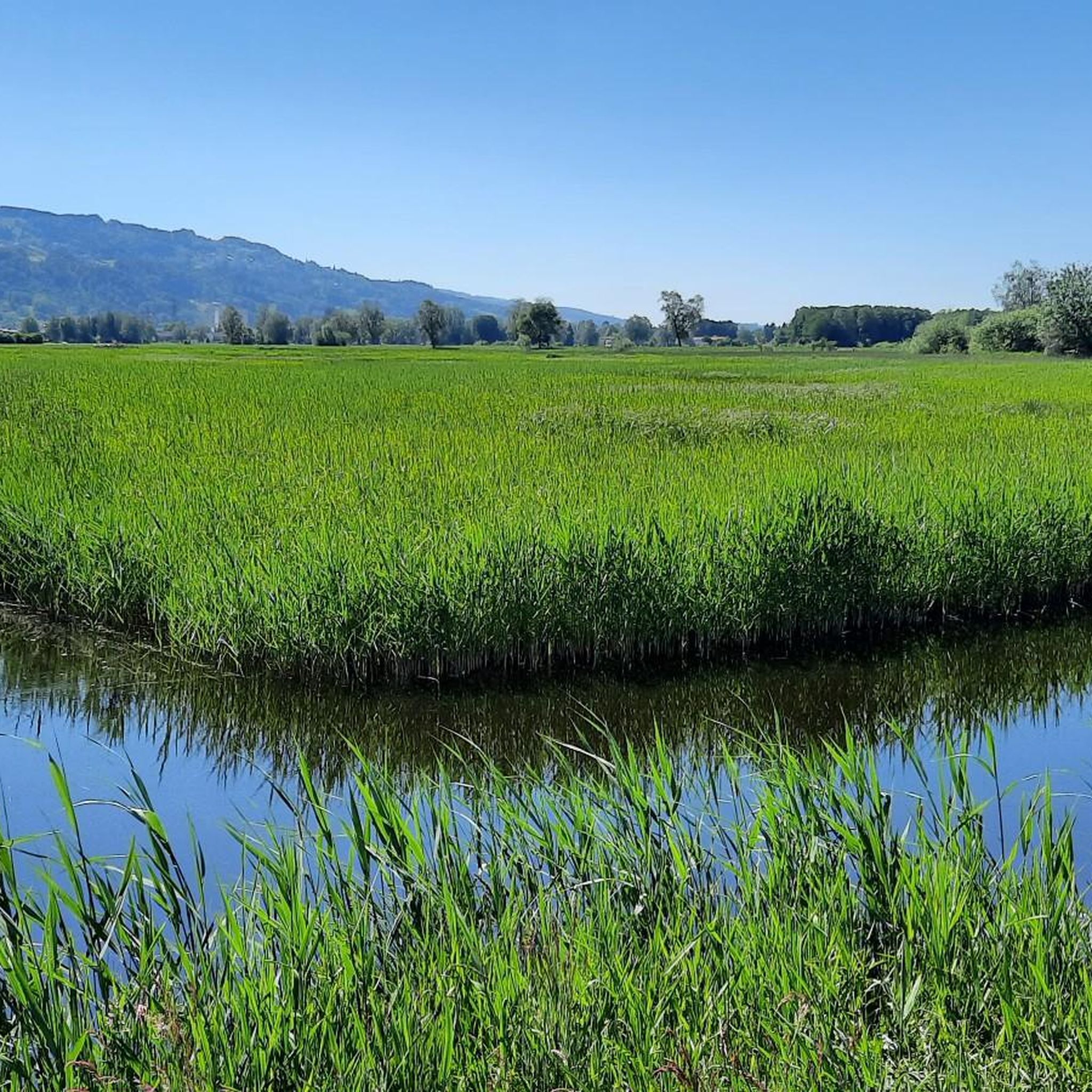
Hiking in Soren, Gleggen-Köblern, Schweizer Ried Und Birken-Schwarzes Zeug
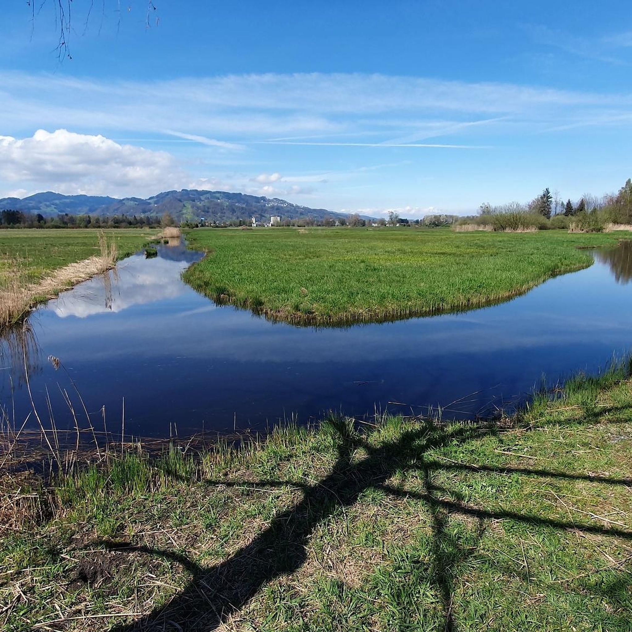
MTB Trails in Soren, Gleggen-Köblern, Schweizer Ried Und Birken-Schwarzes Zeug
Gravel biking in Soren, Gleggen-Köblern, Schweizer Ried Und Birken-Schwarzes Zeug
Running Trails in Soren, Gleggen-Köblern, Schweizer Ried Und Birken-Schwarzes Zeug
Tips from the Community

Beautiful house, inside and out, and also a good kitchen
0
0

Dornbirn Market Square / Market Hours: Wednesday and Saturday mornings Dornbirn Weekly Market – the place to meet! Visitors can find the sweetest fruits on Wednesday and Saturday mornings at Vorarlberg's busiest weekly market, featuring a wide variety of local products and popular specialties. At over 60 market stalls, you can buy groceries such as fish, meat, game, olives, jams, cheese, mushrooms, pasta, as well as flowers and seedlings. Freshness, quality, and regionality are paramount, while numerous cafes and restaurants offer a relaxing atmosphere for a pleasant morning. And at home, when you unpack your freshly purchased groceries, flowers, or farm products for the first time, the real enjoyment begins – that's quality. Dornbirn Weekly Market The beautiful pedestrian zone with its spacious market square is the ideal starting point for any shopping trip. Dornbirn's city center is particularly beautiful in spring. It has been car-free since 1989, allowing for a relaxed stroll. It's precisely the perfect mix of the vibrant market atmosphere, shops, cafés, bars, and restaurants that makes Dornbirn's city center so popular and captivating. Text / Source: Dornbirn City Hall https://innenstadt.dornbirn.at/wochenmarkt
15
0
St. Martin's Parish Church, Dornbirn The current church represents at least the fifth building on this site. St. Martin's Church was first mentioned in 1130. Only the freestanding bell tower remains from the Gothic church built in 1453. A new church was constructed in the Rococo style between 1751 and 1753. The tower was heightened to 64 meters in 1767. The hall-like, single-nave church is the largest church in Vorarlberg. Interior dimensions: 65 meters long, 30 meters wide, 14.5 meters high. Height of the exterior columns: 13 meters. The current church was built in 1839/40 under Pastor Schweinberger. The plans were provided by State Architect Martin von Kink. From 1967 to 1969, the church was redesigned by architect Emil Steffann from Bad Godesberg to meet contemporary liturgical needs. The church is the mother and main church of the city. Since the city was divided into six districts, this core area has also been called the first district. The church is particularly noteworthy due to its location in a picturesque square with various old and new houses, a fountain, and five streets radiating from it. Until late in the 19th century, the parish of St. Martin encompassed the entire area of the city of Dornbirn. Text / Source: Dornbirn Market Parish, Dornbirn https://www.pfarre-st-martin.at/
15
0

As we rolled casually through the town, the church stood out with its mighty pillars. The Roman Catholic parish church of Dornbirn-St. Martin, dedicated to St. Martin, belongs to the deanery of Dornbirn in the Diocese of Feldkirch. The building is a listed building. More about the church: https://de.m.wikipedia.org/wiki/Pfarrkirche_Dornbirn-St._Martin
1
0

Only the tower remains of the former Gothic church. The church was rebuilt in the Neoclassical style and adorned with a monumental porch in the Greek style.
18
0

South of the Pfänder summit is the Pfänder Dohle guesthouse, which enjoys a very quaint location.
7
0

Even with a less than perfect view, it's beautiful. Otherwise, there's a view all the way to Lake Constance and the Swiss mountains.
0
0

Around 1100, the Count of Bregenz built the castle on a rocky outcrop of the Gebhardsberg, high above the city. "Sunken in holy enthusiasm..." begins a poem inspired by Hohen Bregenz Castle. In 1143, the castle passed to the Counts of Pulllendorf, and shortly thereafter, around 1170, to Count Palatine Hugo II of Tübingen (father of Hugo I, Count of Montfort). The upper part of the castle was sold to the Habsburgs in 1451, and the lower part in 1523, and the castle became the seat of Austrian bailiffs. Converted into a fortress at the beginning of the 17th century, the Swedes blew up large sections of the castle during the Thirty Years' War. The circular wall and parts of the palace survived. The attached church became a popular place of pilgrimage in honor of Saint Gebhard. The old sacristan's house, which has since been converted into a restaurant, looks forward to your visit. Even today, the fantastic view over the Rhine Valley and Lake Constance attracts numerous visitors.
1
0
Frequently Asked Questions
Are there actual mountaineering routes within the Soren, Gleggen-Köblern, Schweizer Ried Und Birken-Schwarzes Zeug protected area?
The protected area of Soren, Gleggen-Köblern, Schweizer Ried Und Birken-Schwarzes Zeug is characterized by flat moorland and wet meadows at approximately 400 meters above sea level, making it unsuitable for traditional mountaineering. The mountaineering routes listed in this guide are primarily found in the surrounding higher alpine regions of Vorarlberg, offering varied terrain and elevation changes.
How many mountaineering routes are available in the broader Vorarlberg region covered by this guide?
This guide features over 60 mountaineering routes in the surrounding alpine regions of Vorarlberg. These routes range from moderate to difficult, providing options for various skill levels.
What kind of terrain can I expect on these mountaineering routes?
The mountaineering routes in the broader Vorarlberg region often include diverse terrain, from forest paths to rocky sections, and some even feature via ferratas. You can expect significant elevation changes, unlike the flat topography of the Soren, Gleggen-Köblern, Schweizer Ried Und Birken-Schwarzes Zeug protected area itself.
Are there any circular mountaineering routes?
Yes, there are several circular mountaineering routes. For example, the Mountaineering loop from Dornbirn is a moderate 8.1-mile (13.1 km) trail. Another option is the challenging Känzele via ferrata – Hohenbregenz Castle Ruins loop from Bregenz, which is 1.5 miles (2.4 km) long.
What are some challenging mountaineering routes in the area?
For a challenging experience, consider the Känzele via ferrata – Gebhardsberg Castle Ruins loop from Bregenz, a 4.2-mile (6.7 km) route with varied terrain. Another difficult option is the Gebhardsberg Castle Ruins – Känzele via ferrata loop from Bregenz, which covers 3.5 miles (5.6 km) and includes significant elevation.
What can I see along the mountaineering routes?
Many routes incorporate historical landmarks. For instance, the Känzele via ferrata – Hohenbregenz Castle Ruins loop from Bregenz passes historical castle ruins. Similarly, the Känzele via ferrata – Gebhardsberg Castle Ruins loop from Bregenz also leads through areas with historical significance.
What is the best time of year for mountaineering in the Vorarlberg region?
The best time for mountaineering in the higher alpine regions of Vorarlberg typically spans from late spring to early autumn (May to October), when trails are generally free of snow and weather conditions are more stable. Always check local weather forecasts and trail conditions before heading out.
Are dogs allowed on the mountaineering routes?
While dogs are generally welcome on many trails in the broader Vorarlberg region, specific rules may apply, especially in protected areas or on via ferratas. Within the Soren, Gleggen-Köblern, Schweizer Ried Und Birken-Schwarzes Zeug protected area itself, dogs are required to be on a leash to protect ground-nesting birds and other wildlife.
What are the regulations for visiting the Soren, Gleggen-Köblern, Schweizer Ried Und Birken-Schwarzes Zeug protected area?
As a Europaschutzgebiet (Natura 2000 protected area), specific rules are in place to safeguard its sensitive ecosystems. These include restrictions on entering wet meadows, a leash requirement for dogs, and prohibitions on off-path cycling, camping, and the use of drones below 300 meters. These rules apply to the flat moorland area, not necessarily the alpine mountaineering routes.
What do other mountaineers enjoy most about the routes in this region?
The mountaineering routes in the broader Vorarlberg region are highly rated by the komoot community, with an average score of 4.8 stars from over 130 reviews. Reviewers often praise the diverse terrain, the inclusion of via ferratas, and the historical landmarks found along many of the trails.
Are there any easy or beginner-friendly mountaineering routes?
While the protected area itself is flat and suitable for gentle walks, the mountaineering routes listed in this guide are categorized as moderate or difficult. There are 28 moderate routes available, which might be suitable for beginners with some experience and appropriate gear, but no routes are classified as 'easy' mountaineering.
Where can I find information about nearby attractions within the Soren, Gleggen-Köblern, Schweizer Ried Und Birken-Schwarzes Zeug protected area?
Within the protected area itself, you can explore natural and man-made monuments. Notable highlights include the Senderbrücke Covered Bridge, the Auer Ried Information point, and a Bench by the Ried pond, which offers a viewpoint. These are distinct from the alpine mountaineering routes.
Most popular routes in Soren, Gleggen-Köblern, Schweizer Ried Und Birken-Schwarzes Zeug
Most popular attractions in Soren, Gleggen-Köblern, Schweizer Ried Und Birken-Schwarzes Zeug

Get inspired with the komoot mobile app


Explore more
Browse the best Mountain Hikes & Routes in other regions.
