The best running trails in Europaschutzgebiet Bangs-Matschels
4.5
(254)
7,963
runners
534
runs
Jogging in Europaschutzgebiet Bangs-Matschels offers diverse natural landscapes and established trails within a European Protected Area. The region is characterized by extensive Iris Meadows, alluvial and commercial forests, and a gentle topography at approximately 430 meters above sea level. Running routes often follow the Alpine Rhine and Ill rivers, providing varied scenery and natural shade. This area, located in the tri-border region of Austria, Liechtenstein, and Switzerland, features moorland and wet meadows, supporting significant biodiversity.
Best jogging routes in Europaschutzgebiet…
Last updated: June 29, 2026
12
runners
Moderate run. Good fitness required. Mostly paved surfaces. Suitable for all skill levels.
13
runners
Moderate run. Good fitness required. Mostly paved surfaces. Suitable for all skill levels.

Sign up for free
18
runners
5.24km
00:33
10m
10m
Moderate run. Good fitness required. Mostly paved surfaces. Suitable for all skill levels.
3.5
(2)
11
runners
6.76km
00:43
20m
20m
Moderate run. Good fitness required. Mostly paved surfaces. Suitable for all skill levels.
9
runners
6.39km
00:40
10m
10m
Moderate run. Good fitness required. Mostly paved surfaces. Suitable for all skill levels.
Get access to more routes and recommendations from other explorers.
Sign up for free
Already have an account?
Our route recommendations are based on thousands of hikes, rides, and runs completed by other people on komoot.
Start today with a free account
Your next adventure awaits.
Login or Signup
Popular around Europaschutzgebiet Bangs-Matschels

Tips from the Community

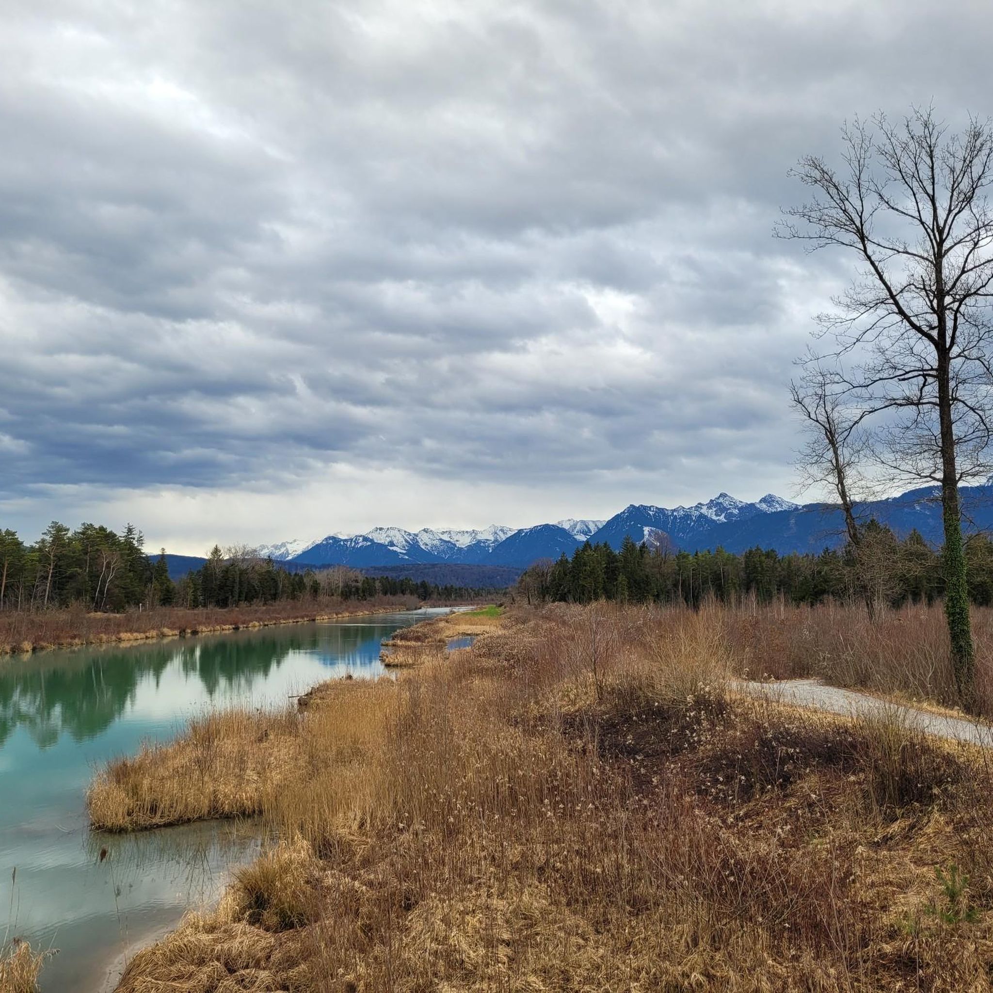
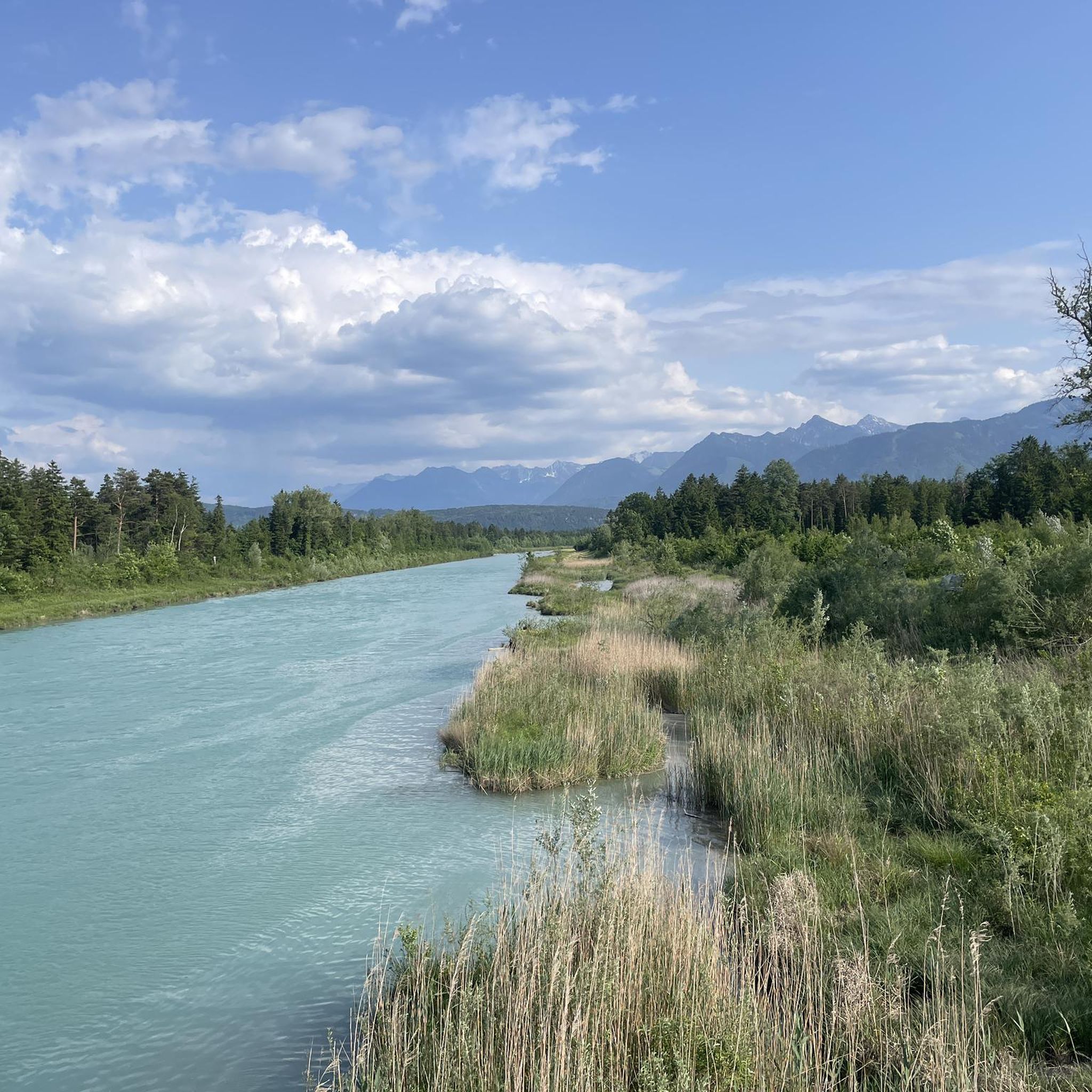
Here you can still find pure nature!
1
0

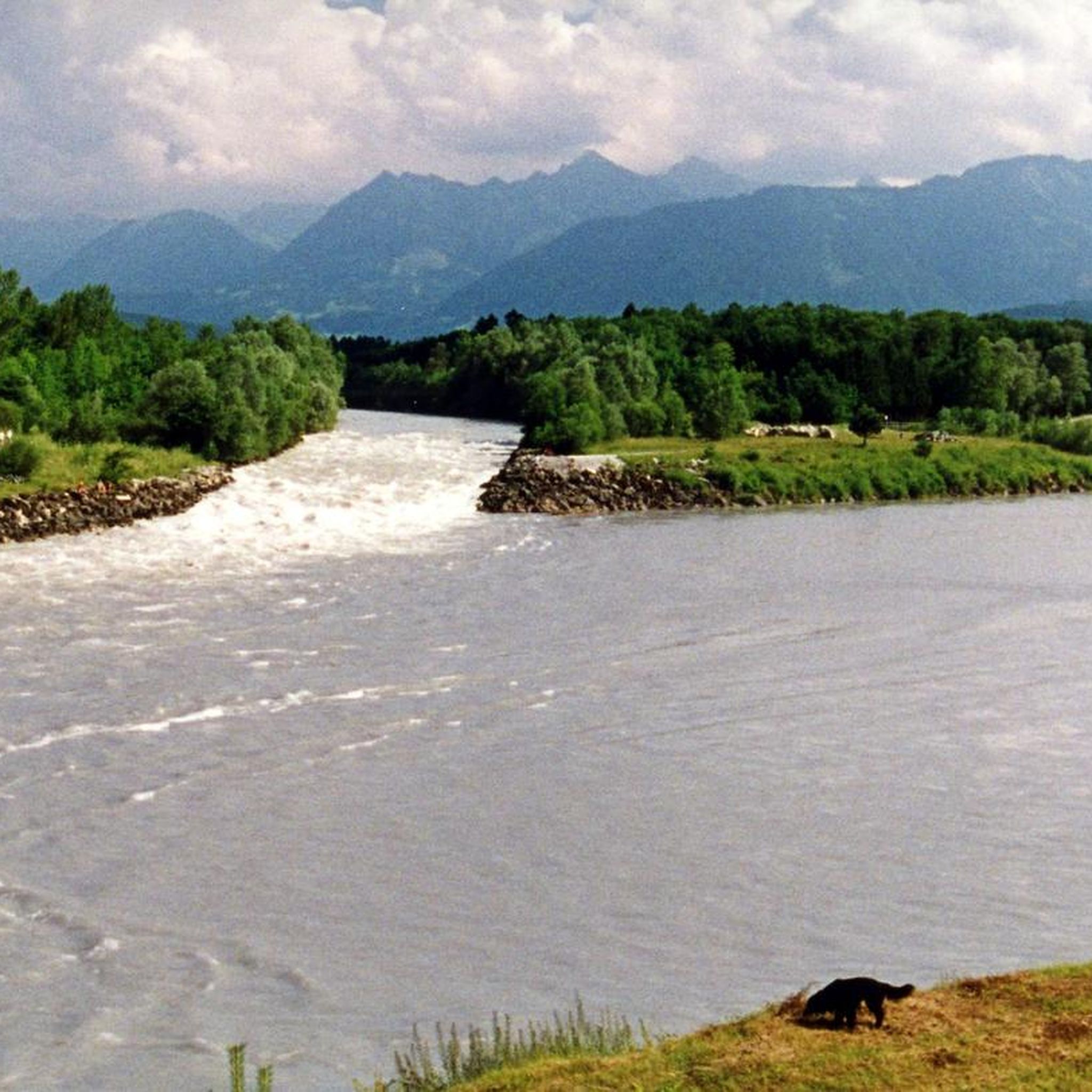
Border crossing for bicycles and pedestrians.
8
0

actually worth a photo for me too
0
0
what a beautiful landscape
1
0
actually worth a photo for me too ;-)
1
0

In June, the meadows in the Rhine Valley shine in brilliant violet. This is thanks to the blossoms of thousands of Siberian irises.
1
0

another border crossing
0
0

Chapel is right on the bike path. Opposite is a good restaurant for a break. Rest. Stern Bangs.
1
0
Frequently Asked Questions
How many running routes can I find in Europaschutzgebiet Bangs-Matschels?
There are over 540 running routes available in Europaschutzgebiet Bangs-Matschels, catering to various fitness levels. You'll find a wide selection of paths, from easy jogs to more challenging trails.
What kind of terrain can I expect on the jogging trails in Europaschutzgebiet Bangs-Matschels?
The terrain is generally gentle, with the area lying at an elevation of approximately 430 meters above sea level. You'll jog through diverse landscapes including alluvial and commercial forests, extensive iris meadows, and along the Alpine Rhine and Ill rivers. The varied environment provides natural shade and interesting scenery.
Are there any family-friendly running routes in the area?
Yes, many of the routes in Europaschutzgebiet Bangs-Matschels are suitable for families due to the gentle topography and well-maintained paths. The diverse natural features, like the iris meadows and riverside environments, offer an engaging experience for all ages. Always check individual route details for specific suitability.
Can I bring my dog on the running trails in Europaschutzgebiet Bangs-Matschels?
Yes, dogs are generally welcome on the trails. However, to protect the sensitive ecosystem and wildlife, it is crucial to keep dogs on a leash at all times. This area is home to rare plant and animal species, including ground-nesting birds and endangered butterflies.
What are some interesting natural features or landmarks to look out for while jogging?
While running, you can experience the stunning Iris Meadows, especially vibrant in early summer. You might also spot rare bird species, butterflies, and other wildlife. Points of interest include the Illspitz Bridge and the historic Ruggell–Bangs Historic Border Crossing and Spiersbach Stone Bridge.
When is the best time of year to go running in Europaschutzgebiet Bangs-Matschels?
The area is beautiful year-round, but early summer is particularly special when the Iris Meadows are in full bloom, transforming the landscape into a sea of blueish-purple. Spring and autumn offer pleasant temperatures and vibrant foliage. Even in winter, the trails can be enjoyed, though conditions may vary.
Are there circular running routes available?
Yes, many of the running paths in Europaschutzgebiet Bangs-Matschels are circular, offering convenient starting and ending points. For example, the Lettasteg Wooden Bridge – Bangshof Ruggell loop from Naturschutzgebiet Ruggeller Riet is a popular circular option that explores diverse natural environments.
Where can I park when visiting the running trails?
Parking options are available near the access points to the protected area. For instance, a circular walking trail starts at the Gasthaus Stern inn in Bangs, which may offer parking facilities. It's advisable to check specific starting points for designated parking areas.
What do other runners enjoy most about the trails in Europaschutzgebiet Bangs-Matschels?
The running routes in Europaschutzgebiet Bangs-Matschels are highly rated by the komoot community, with an average score of 4.6 stars. Runners frequently praise the diverse natural landscapes, the peaceful riverside environments, and the well-maintained paths that offer a varied and enjoyable experience.
Are there any longer running routes for experienced runners?
Yes, for those seeking a longer challenge, routes like the Kleine Ill – Bridge Over the Kleine Ill loop from Naturschutzgebiet Ruggeller Riet offer a more extensive running experience, covering nearly 19 km through the protected area.
Are there any running routes with views of the mountains?
Absolutely. The region offers routes that provide scenic views of the surrounding mountains. A great example is the Bagger Lakes Feldkirch – View of the Swiss Mountains loop from Gisingen, which combines views of the Bagger Lakes with distant mountain panoramas.
What is the typical difficulty level of the running routes?
The majority of running routes in Europaschutzgebiet Bangs-Matschels are rated as moderate, making them accessible for a wide range of runners. There are also easier paths for beginners and a selection of more difficult routes for those looking for a greater challenge.
Most popular routes in Europaschutzgebiet Bangs-Matschels
Most popular attractions in Europaschutzgebiet Bangs-Matschels

Get inspired with the komoot mobile app


Explore more
Browse the best Running Trails & Routes in other regions.
