The best MTB trails in Europaschutzgebiet Bangs-Matschels
4.6
(4011)
18,175
riders
357
rides
Mountain biking in Europaschutzgebiet Bangs-Matschels offers a diverse landscape characterized by the Rhine Valley, alpine pastures, and meadows. The region features significant elevation changes, with routes ascending to viewpoints and traversing varied terrain. This protected area provides a mix of challenging climbs and scenic descents, catering to different skill levels.
Best mountain bike trails in Europaschutzgebiet Bangs-Matschels
- The most popular mountain bike trail is Hirschensprung Gorge – View of the Rhine Valley loop from Rüthi, a 14.8 miles (23.8…
Last updated: July 4, 2026
4.7
(29)
57
riders
23.3km
02:17
870m
870m
Moderate mountain bike ride. Good fitness required. Suitable for all skill levels.
4.7
(6)
52
riders
53.0km
04:43
1,320m
1,320m
Hard mountain bike ride. Very good fitness required. Advanced riding skills necessary. Some portions of the route may require you to push your bike.

Sign up for free
4.7
(10)
38
riders
49.9km
04:25
1,200m
1,200m
Hard mountain bike ride. Very good fitness required. Advanced riding skills necessary.
4.7
(132)
478
riders
31.3km
03:24
1,140m
1,140m
Hard mountain bike ride. Very good fitness required. Advanced riding skills necessary. Some portions of the route may require you to push your bike.
4.6
(75)
212
riders
24.4km
02:14
600m
600m
Moderate mountain bike ride. Good fitness required. Advanced riding skills necessary.
Get access to more routes and recommendations from other explorers.
Sign up for free
Already have an account?
Our route recommendations are based on thousands of hikes, rides, and runs completed by other people on komoot.
Start today with a free account
Your next adventure awaits.
Login or Signup
Popular around Europaschutzgebiet Bangs-Matschels
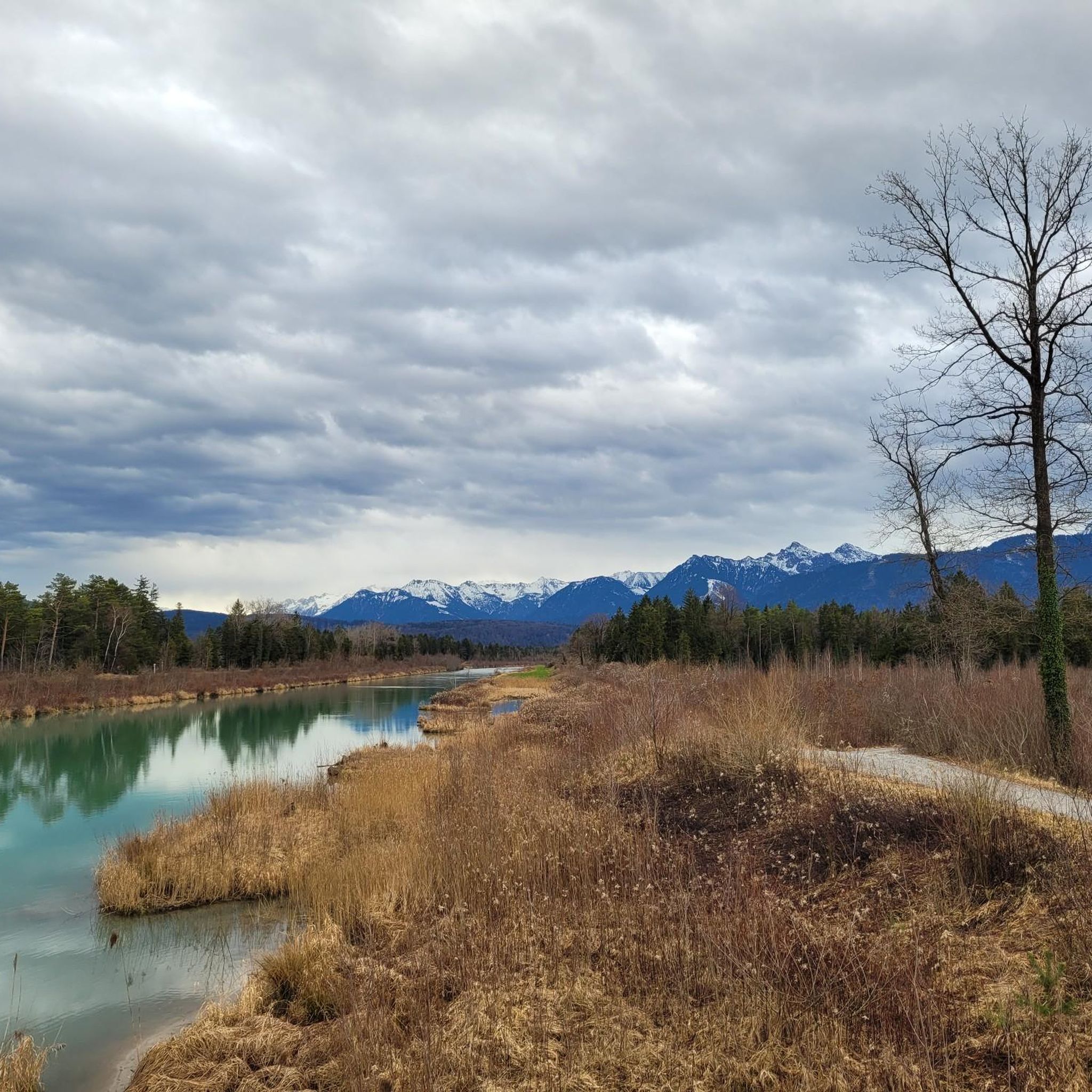
Cycling in Europaschutzgebiet Bangs-Matschels
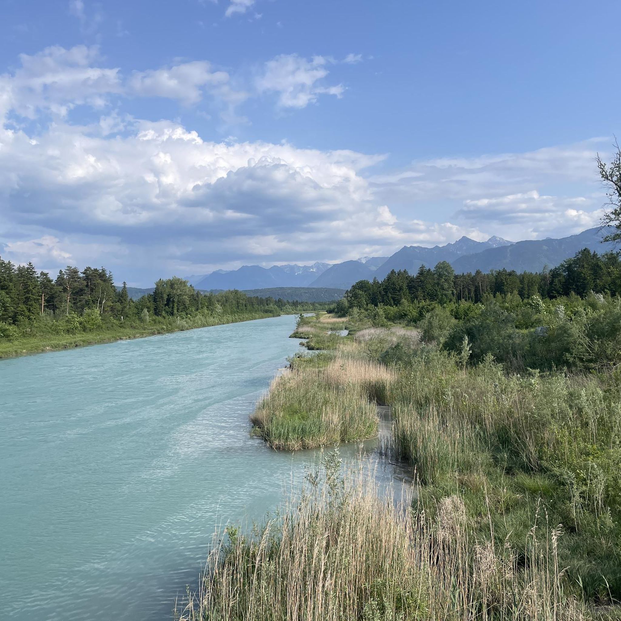
Road Cycling Routes in Europaschutzgebiet Bangs-Matschels
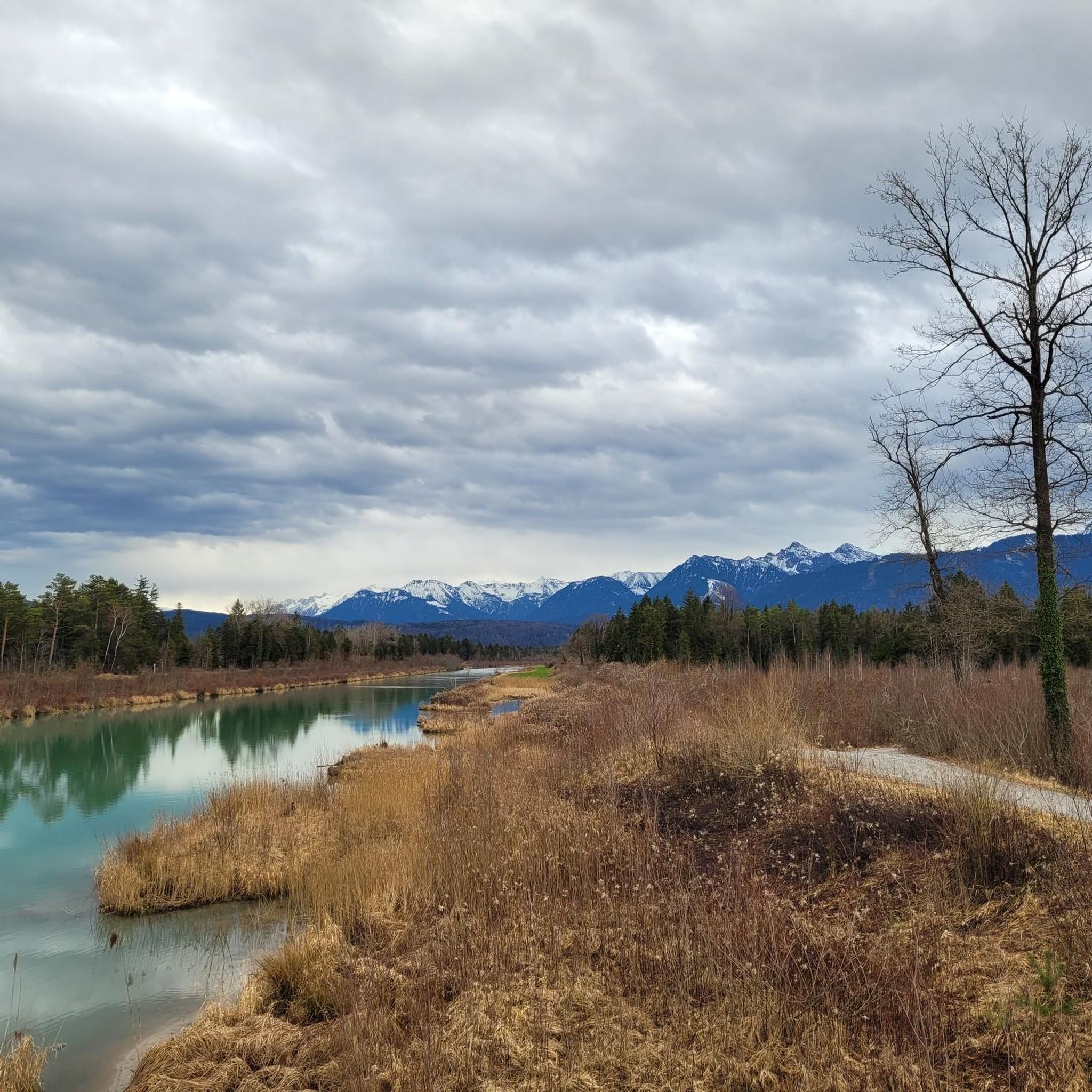
Hiking in Europaschutzgebiet Bangs-Matschels

Mountain Hikes in Europaschutzgebiet Bangs-Matschels
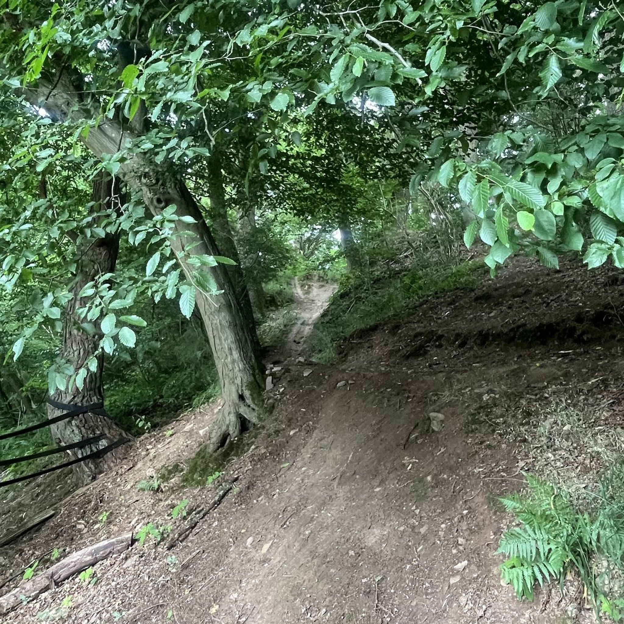
Gravel biking in Europaschutzgebiet Bangs-Matschels
Running Trails in Europaschutzgebiet Bangs-Matschels
Tips from the Community

Actually a nice place with a great view, but unfortunately a very unfriendly family runs the alpine pasture.
0
0

Nice descent, not very technical except for 2, 3 spots
0
0

beautifully located and ice-cold water for warm days
0
0
Short singletrail but good
0
0

40.- francs for a return trip is not exactly cheap. Especially since there is no 1/2 Halbtax discount. Even those who just want to eat something at the mountain guesthouse receive no discount.
1
0

At the rear Älple there is a delicious snack 👍
0
0

Nice place to take a break
0
0
Frequently Asked Questions
How many mountain bike trails are available in Europaschutzgebiet Bangs-Matschels?
There are over 360 mountain bike routes recorded in Europaschutzgebiet Bangs-Matschels on komoot. These range from easy to difficult, offering a wide variety of options for different skill levels.
Are there easy mountain bike trails suitable for beginners in Europaschutzgebiet Bangs-Matschels?
Yes, Europaschutzgebiet Bangs-Matschels offers a good selection of easy mountain bike trails. Approximately 70 routes are classified as easy, providing gentle terrain suitable for beginners or those looking for a relaxed ride.
What are the typical distances and durations for mountain bike trails in this region?
Trail distances vary significantly. For example, the Hirschensprung Gorge – View of the Rhine Valley loop from Rüthi is about 14.8 miles (23.8 km) and takes around 2 hours 19 minutes. Longer, more challenging routes like the Oberer Rank Cross Viewpoint – Kugel Alp loop from Rüthi can be over 33 miles (53 km) and require more than 4 hours to complete.
Are there any challenging mountain bike routes for advanced riders?
Absolutely. Europaschutzgebiet Bangs-Matschels features 115 difficult mountain bike routes. These trails often include significant elevation changes and technical sections, such as the Short Meadow Trail – Meadow Descent loop from Rüthi, which covers nearly 50 km with over 1200 meters of ascent.
What kind of natural features or viewpoints can I expect along the trails?
The region is known for its diverse landscape, including views of the Rhine Valley, alpine pastures, and meadows. Many routes offer scenic viewpoints. For instance, the Oberer Rank Cross Viewpoint – Kugel Alp loop from Rüthi specifically highlights a viewpoint. You can also find attractions like the Matschelser Hill, which offers panoramic views.
Are there circular mountain bike routes available?
Yes, many of the mountain bike routes in Europaschutzgebiet Bangs-Matschels are designed as loops. Examples include the Hirschensprung Gorge – View of the Rhine Valley loop from Rüthi and the Vorderälpele – Hinterälpele Mountain Hut loop from Gisingen, allowing you to start and finish at the same point.
What is the best time of year for mountain biking in Europaschutzgebiet Bangs-Matschels?
The warmer months, typically from late spring through early autumn, are ideal for mountain biking in Europaschutzgebiet Bangs-Matschels. During this period, trails are generally dry and accessible, and the alpine pastures are at their most vibrant. Always check local weather conditions before heading out.
Are there any historical or interesting landmarks to see while mountain biking?
Yes, the region has several points of interest. You might encounter historical sites such as the Ruggell–Bangs Historic Border Crossing and Spiersbach Stone Bridge or the Border Guard Shelter Ruggell. These add a cultural dimension to your ride.
What do other mountain bikers say about the trails in Europaschutzgebiet Bangs-Matschels?
The mountain bike trails in Europaschutzgebiet Bangs-Matschels are highly regarded by the komoot community, with an average rating of 4.6 stars from over 3,700 reviews. Riders often praise the diverse terrain, scenic views, and the well-maintained nature of the routes.
Are there routes that pass by water features or unique geological formations?
While specific geological formations are not prominently highlighted, routes like the Hirschensprung Gorge – View of the Rhine Valley loop from Rüthi offer insights into the region's natural landscape. The area's character is shaped by the Rhine Valley, suggesting proximity to riverine environments.
Are there any mountain bike trails suitable for families with children?
For families, the easier routes are generally more suitable. While specific 'family-friendly' designations aren't always present, the 70 easy trails offer less strenuous options. Consider routes with minimal elevation gain and shorter distances, which can be found among the easier classifications.
Is there public transport access to the mountain bike trails?
Europaschutzgebiet Bangs-Matschels is generally accessible, and while specific public transport links to trailheads vary, the region is well-connected. It's advisable to check local bus or train schedules for the nearest towns like Rüthi or Gisingen, which serve as starting points for several routes.
Where can I find parking near the mountain bike trails?
Many trailheads, particularly in towns like Rüthi and Gisingen, offer designated parking areas. As a protected area, parking might be limited in some more remote spots, so planning your starting point and checking for available parking facilities beforehand is recommended.
Most popular routes in Europaschutzgebiet Bangs-Matschels
Most popular attractions in Europaschutzgebiet Bangs-Matschels

Get inspired with the komoot mobile app


Explore more
Browse the best MTB trails in other regions.
