Naturpark Ammergauer Alpen
Naturpark Ammergauer Alpen
The best mountain hikes in Naturpark Ammergauer Alpen
4.7
(902)
8,806
hikers
125
hikes
Mountaineering routes in Naturpark Ammergauer Alpen traverse a diverse landscape characterized by rocky Dolomite mountain ridges, mystical mountain forests, and significant moors. The park features a wide altitudinal range, from 800 to 2,185 meters above sea level, with 96 mountains offering varied challenges. This region is known for its well-preserved ecosystems, including the deep Ammer Gorge and extensive mixed mountain forests.
Best mountaineering routes in Naturpark Ammergauer Alpen
- The most popular mountaineering route is Up the Notkarspitze - Mountain tours Ammergau Alps, a 7.1 miles (11.4 km) difficult trail that takes 6 hours 6 minutes to complete. This route offers a challenging ascent to a prominent peak.
- Another top favourite among local mountaineers is Up to the Kreuzspitze - Mountain tours Ammergau Alps, a difficult 7.0 miles (11.2 km) path. This route leads to a high peak, providing extensive views of the Ammergau Alps.
- Local mountaineers also love the With via ferrata on the Ettaler Manndl - Mountain tours Ammergau Alps, a 3.9 miles (6.3 km) trail leading through mountainous terrain, often completed in about 3 hours 11 minutes.
- Mountaineering in Naturpark Ammergauer Alpen is defined by rocky mountain ridges, mystical forests, and an extensive network of trails. The region offers options for various ability levels, from challenging ascents to more moderate paths.
- The routes in Naturpark Ammergauer Alpen are highly rated by the komoot community with an average score of 4.7 stars from more than 950 reviews. More than 10,000 mountaineers have used komoot to explore Naturpark Ammergauer Alpen's varied terrain.
Last updated: July 10, 2026
4.7
(59)
443
hikers
11.4km
06:06
1,000m
1,000m
Hard mountaineering route. Very good fitness required. Sure-footedness, sturdy shoes and alpine experience required.
4.5
(31)
302
hikers
11.2km
07:15
1,030m
1,030m
Hard mountaineering route. Very good fitness required. Sure-footedness, sturdy shoes and alpine experience required.

Sign up for free
4.8
(38)
319
hikers
6.33km
03:12
650m
650m
Hard mountaineering route. Good fitness required. Sure-footedness, sturdy shoes and alpine experience required.
4.8
(27)
285
hikers
13.4km
06:44
940m
940m
Hard mountaineering route. Very good fitness required. Sure-footedness, sturdy shoes and alpine experience required.
4.9
(7)
129
hikers
9.01km
04:34
720m
720m
Moderate mountaineering route. Good fitness required. Mostly accessible paths. Sure-footedness required.
Get access to more routes and recommendations from other explorers.
Sign up for free
Already have an account?
Our route recommendations are based on thousands of hikes, rides, and runs completed by other people on komoot.
Start today with a free account
Your next adventure awaits.
Login or Signup
Popular around Naturpark Ammergauer Alpen

Maximilian Trail in Germany — Lake Constance to Königssee
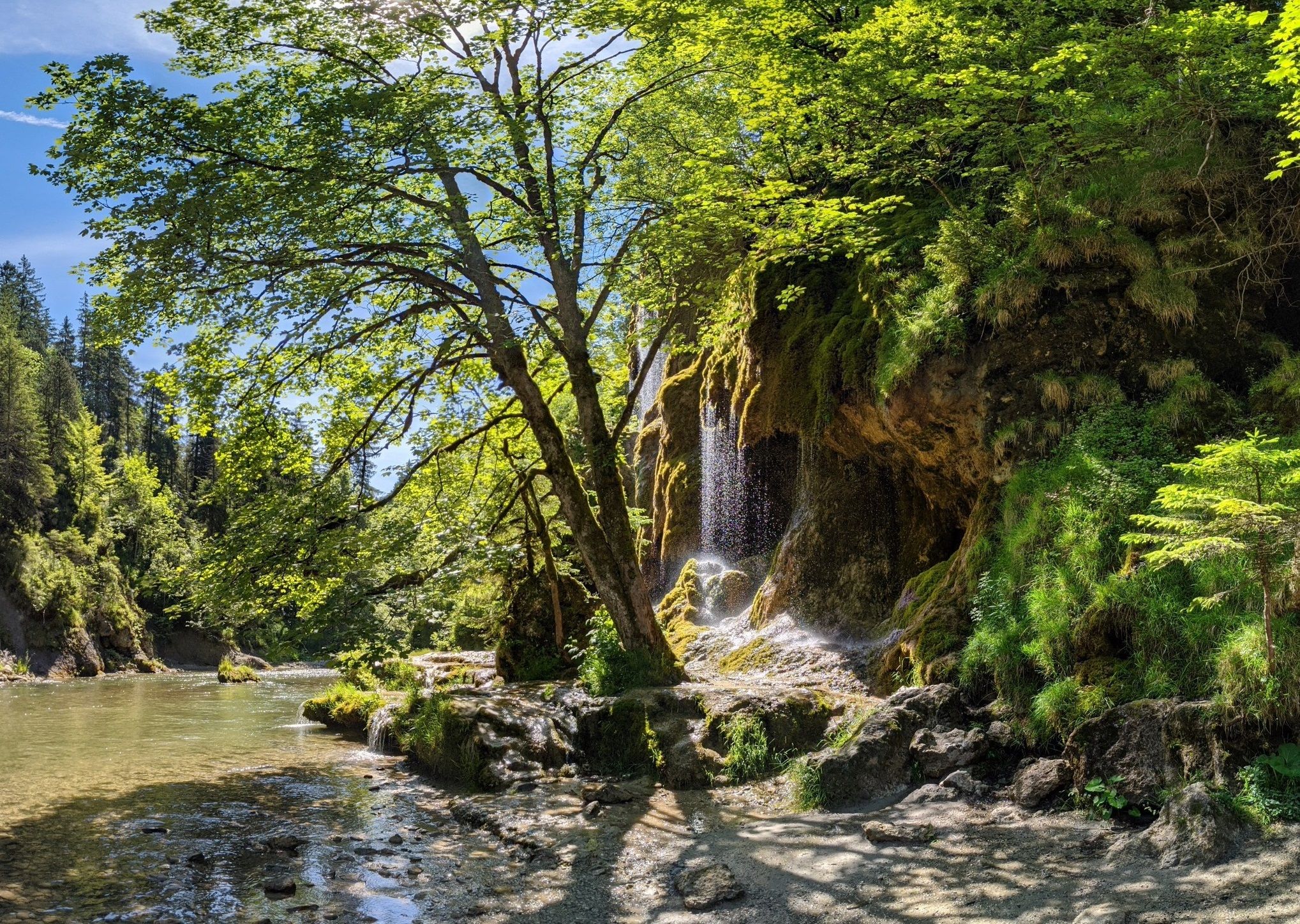
Ammergau Alps meditation path in Bavaria – Breathe in, breathe out
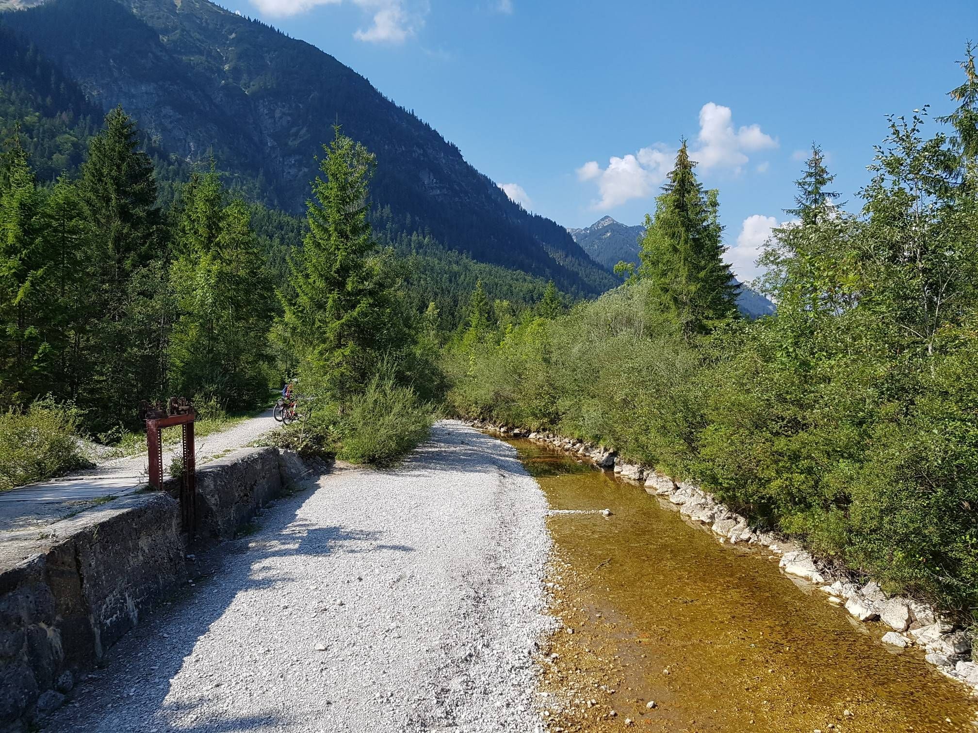
The Ammer-Amper Cycle Path – Experience nature in the foothills of the Alps
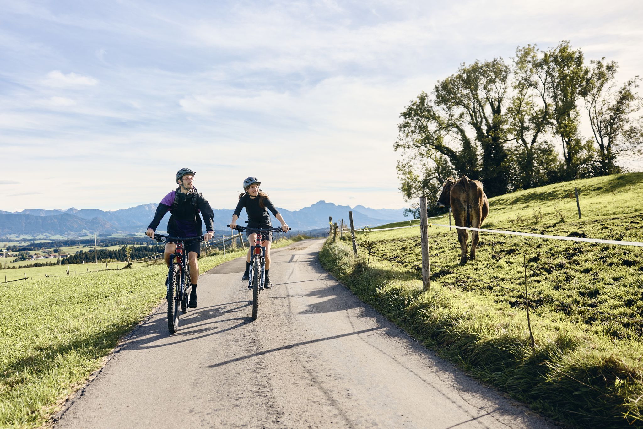
Land of the Moors – cycling between alpine views and wetland paths

The National Natural Landscapes in Bavaria
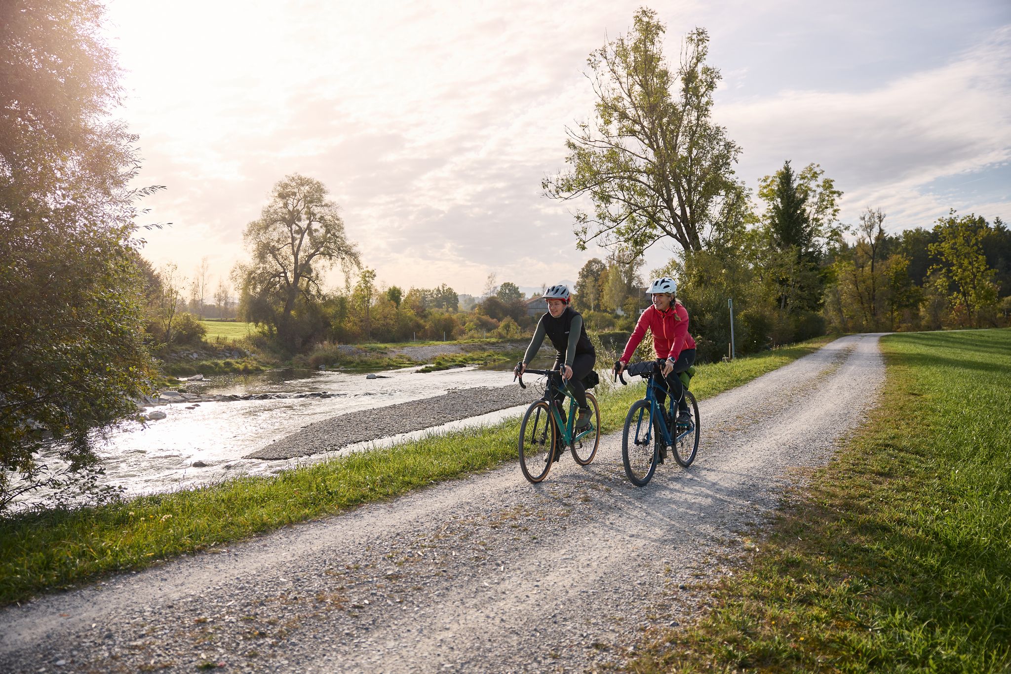
Along the water – Ammer-Amper cycle path
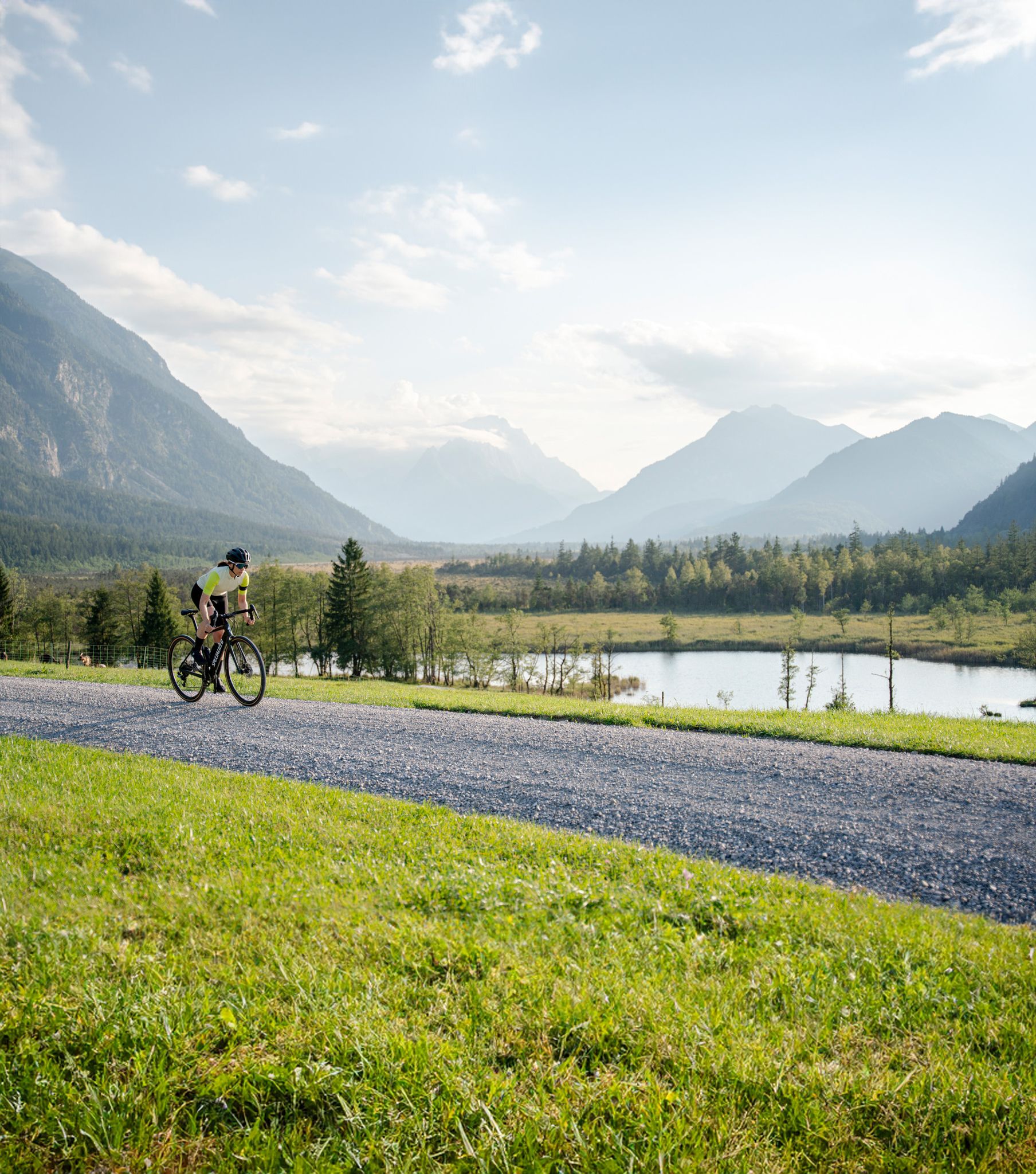
Entlang der höchsten Berge Bayerns – Graveln in der Zugspitz Region

Hiking through Bavaria's cultural landscapes
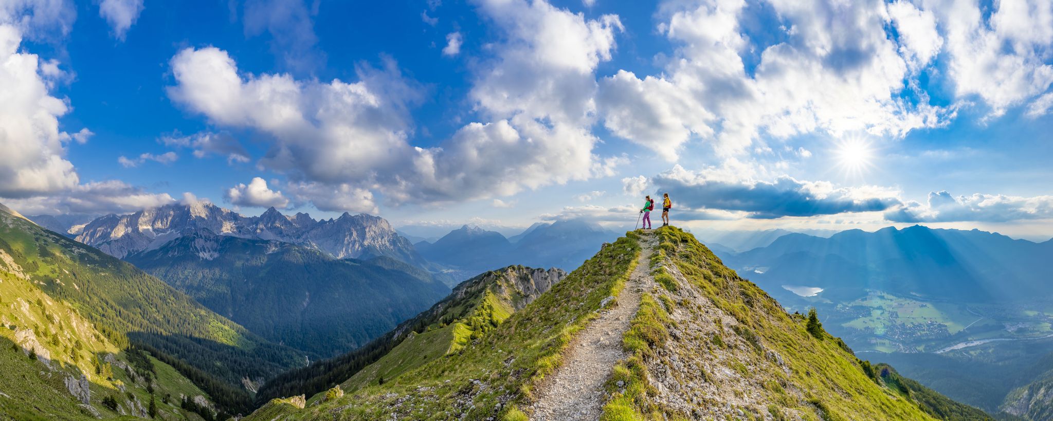
7 days, 7 summits – varied mountain Tour week in the Zugspitz region
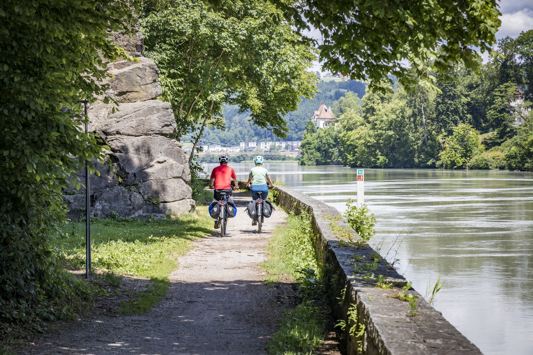
Kilometres of cycling fun – long-distance cycle routes in Bavaria
Other adventures in Naturpark Ammergauer Alpen


Tips from the Community

A striking natural rock arch framing the ridgeline — a geological highlight of the Ammergau Alps. Look for it as you traverse the ridge toward the Feigenkopf. Easy to miss if you're moving fast.
0
0

The Ochsensitz is a nice little stopover on the way to the Ziegelspitz or the Notkarspitze. It's not a true summit, but the spot has a nice large cross.
0
0

A beautiful, leisurely tour via Etthaler Mandl (via ferrata set recommended), Laber, and back to Oberammergau. Estimated time, including a break on the Laber, is approximately 7 hours.
0
0

From the parking lot to the summit of the Schwarzenköpfel, the route is somewhat demanding; good shoes and a steady stride are required. It's steep at times. Then, below the Kreuzspitze summit, a rocky route begins. You'll need to use your hands to climb. It's not particularly difficult, but definitely suitable for those who aren't afraid of heights.
0
0

Good light Lowe shoe important
0
0

The turnoff to the summit cross is barely visible, there is no sign
0
0

Climbed today in good weather (#33). A/B - more likely B. Beginners/inexperienced climbers should use a via ferrata set, also because there's a lot of oncoming traffic and you have to dodge. Please don't be careless! Steel cables throughout (no more chains), but also some greasy rocks - so it's best to avoid them in wet conditions. Today, while descending, I also encountered *unbelayed* children around 4-5 years old. Is that really necessary????? (You only have one life!)
4
1
Frequently Asked Questions
How many mountaineering routes are available in Naturpark Ammergauer Alpen?
Naturpark Ammergauer Alpen offers a wide selection of mountaineering routes, with over 130 tours available. These range from moderate paths to challenging ascents, catering to various skill levels.
What kind of terrain can I expect on mountaineering routes in Naturpark Ammergauer Alpen?
The terrain in Naturpark Ammergauer Alpen is incredibly diverse. You'll encounter rocky Dolomite mountain ridges, mystical mountain forests, and significant moors. The altitudinal range spans from 800 to 2,185 meters above sea level, providing varied challenges and stunning landscapes.
Are there any family-friendly mountaineering options in Naturpark Ammergauer Alpen?
While many routes are challenging, the park also offers gentler valley hikes suitable for families, such as the Altherrenweg in Oberammergau or the Ammergauer Wiesmahdweg. For those seeking a mountain experience with less strenuous climbing, the Hörnle Hut at 1,390 meters can be accessed by cable car, offering a starting point for easier walks with refreshments.
Can I bring my dog on mountaineering routes in Naturpark Ammergauer Alpen?
Yes, many trails in Naturpark Ammergauer Alpen are dog-friendly. However, it's always advisable to keep your dog on a leash, especially in nature reserves or near grazing livestock, and to check specific route regulations before you go.
What are some challenging mountaineering routes for experienced climbers?
For experienced mountaineers, the park offers demanding routes to peaks like Notkarspitze, Kreuzspitze, and Große Klammspitz. A particularly challenging option is With via ferrata on the Ettaler Manndl, which includes a via ferrata section. Another is To the Große Klammspitze, known for its significant elevation gain.
Are there any circular mountaineering routes in the region?
Yes, Naturpark Ammergauer Alpen features numerous circular routes. For example, the popular Up to the Kreuzspitze tour is a challenging circular path that rewards with extensive views of the Ammergau Alps.
What natural landmarks or viewpoints can I discover along the routes?
The park is rich in natural beauty. You can explore the spectacular Ammer Gorge, a protected nature reserve known for its lush mosses and waterfalls. The Schleifmühl Gorge also offers year-round exploration. For panoramic views, consider reaching the Teufelstättkopf Summit Cross or the Vorderes Hörnle.
What is the best time of year for mountaineering in Naturpark Ammergauer Alpen?
The best time for mountaineering typically spans from late spring to early autumn (May to October), when trails are generally clear of snow and weather conditions are more stable. However, the park also offers opportunities for ski tours, cross-country skiing, and snowshoe hikes in winter for those equipped for colder conditions.
Are there mountain huts or places to get refreshments along the trails?
Yes, you'll find mountain huts that offer refreshments. The Hörnle Hut, built in 1911, is a popular spot at 1,390 meters. The Kolbensattel Hut is another option, providing a place to rest and refuel.
What do other mountaineers enjoy most about the routes in Naturpark Ammergauer Alpen?
The routes in Naturpark Ammergauer Alpen are highly rated by the komoot community, with an average score of 4.7 stars from more than 950 reviews. Reviewers often praise the diverse landscapes, from rocky peaks to mystical forests, and the extensive network of trails that cater to all levels. The challenging ascents and rewarding views are frequently highlighted.
How long do mountaineering routes typically take in Naturpark Ammergauer Alpen?
The duration of routes varies significantly based on difficulty and distance. For instance, a challenging route like Up the Notkarspitze, which is 7.1 miles (11.4 km) long, typically takes around 6 hours. Shorter, more moderate paths will naturally take less time.
Are there any routes that offer views of the Kofel mountain?
Yes, several routes provide excellent views of the Kofel. For a direct experience, consider the route Up the Kofel itself, which offers a challenging ascent and rewarding vistas. You can also find a dedicated View of Kofel and Oberammergau highlight.
Most popular routes in Naturpark Ammergauer Alpen
Most popular attractions in Naturpark Ammergauer Alpen

Get inspired with the komoot mobile app


Explore more
Browse the best Mountain Hikes & Routes in other regions.
