The best MTB trails around Hohengandern
4.6
(1019)
2,373
riders
235
rides
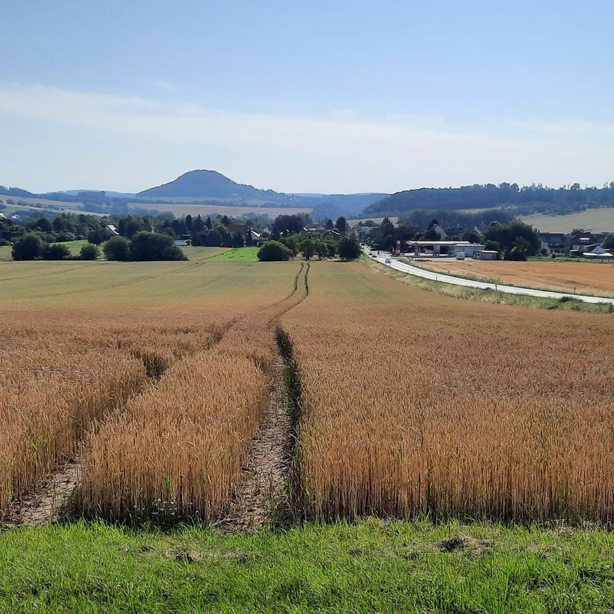
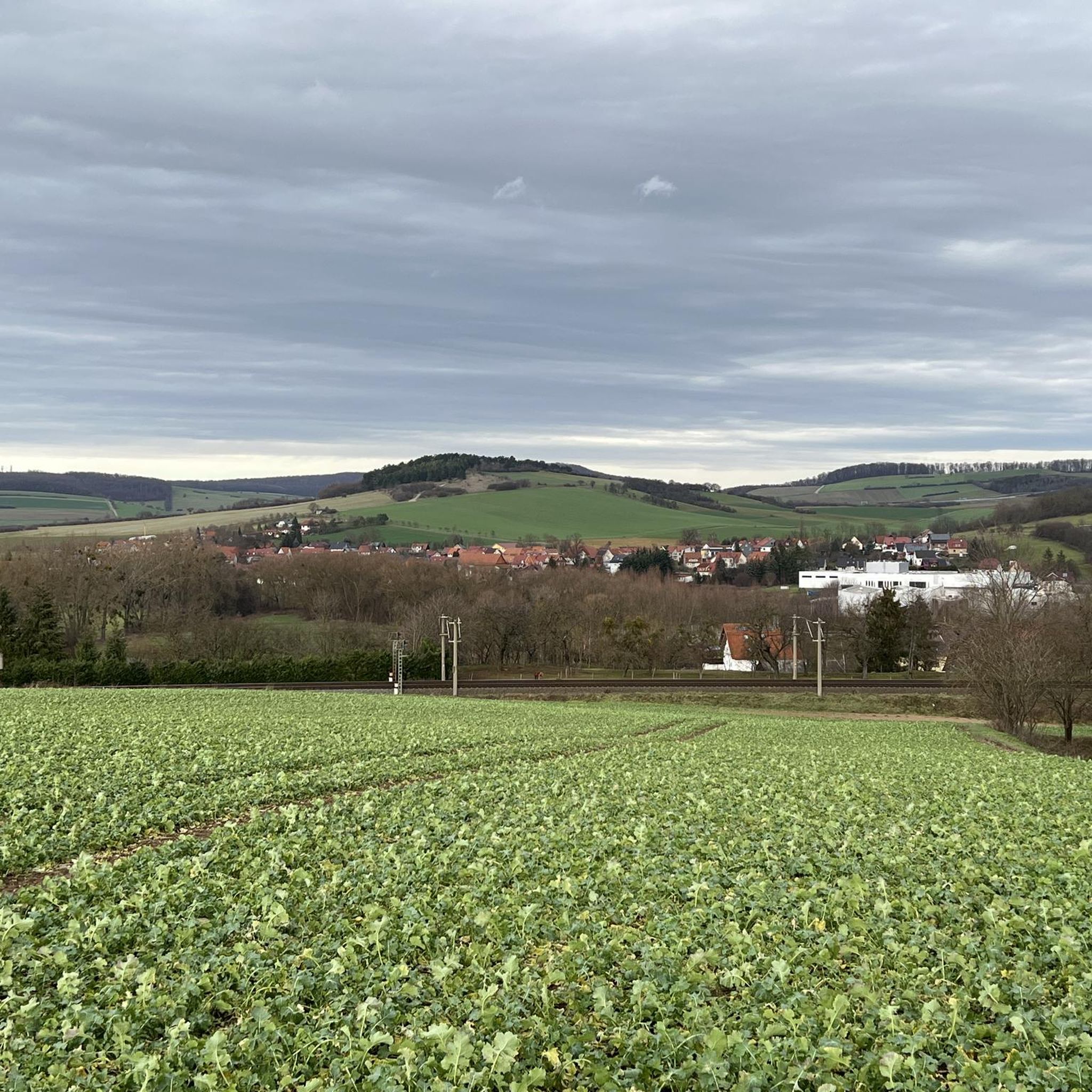
Mountain biking around Hohengandern offers varied terrain within Germany's Eichsfeld district, characterized by an undulating topography. The region features numerous hills and dense forests, with elevations such as the 369-meter-high Heuberg providing natural ascents and descents. Situated near the Mühlbach tributary, the landscape combines natural beauty with engaging trails suitable for mountain biking. This diverse environment provides a dynamic setting for outdoor activities.
Best mountain bike trails around Hohengandern
- The most popular mountain bike trail is Café de la Sable…
Last updated: July 5, 2026
4.8
(5)
30
riders
47.8km
02:32
200m
200m
Moderate mountain bike ride. Good fitness required. Suitable for all skill levels.
4.3
(4)
20
riders
Easy mountain bike ride. Great for any fitness level. Suitable for all skill levels.

Sign up for free
5.0
(5)
16
riders
38.3km
02:28
440m
440m
Moderate mountain bike ride. Good fitness required. Advanced riding skills necessary.
5.0
(3)
5
riders
22.7km
01:51
380m
380m
Moderate mountain bike ride. Good fitness required. Advanced riding skills necessary.
3.7
(3)
7
riders
30.0km
02:36
600m
600m
Moderate mountain bike ride. Good fitness required. Advanced riding skills necessary.
Get access to more routes and recommendations from other explorers.
Sign up for free
Already have an account?
Our route recommendations are based on thousands of hikes, rides, and runs completed by other people on komoot.
Start today with a free account
Your next adventure awaits.
Login or Signup

Tips from the Community

The forester's lodge itself is locked, but a large open, covered area for barbecuing is available
0
0

A beautiful view of the train station, currently without train traffic due to construction work
0
0
The Leine cycle path is wonderful to cycle on.
0
0

This shelter is of the more spacious type.
8
0
The market square, the central square of the old town of Witzenhausen, is dominated by the beautiful historic town hall.
7
1

Large old train station with train connections to Göttingen, Kassel, Eschwege, Bebra and the Eichsfeld region.
1
0

What can I say, it always happens to be closed or is just closing when I drive along there
1
0

Frequently Asked Questions
What kind of terrain can I expect on mountain bike trails around Hohengandern?
The Hohengandern region, part of Germany's Eichsfeld district, features an undulating topography with numerous hills and dense forests. You'll encounter varied terrain, from the elevated 'Alten Holz' and 'Neuseesen-Werleshäuser Höhen' to the 369-meter-high Heuberg, providing natural ascents and descents. This dynamic landscape offers a mix of paths suitable for mountain biking.
How many mountain bike trails are available in the Hohengandern area?
There are over 240 mountain bike routes around Hohengandern listed on komoot. This includes a wide range of options, with approximately 40 easy routes, over 180 moderate routes, and around 20 difficult trails, catering to various skill levels.
Are there any easy mountain bike trails suitable for beginners or families?
Yes, Hohengandern offers several easy mountain bike trails. An accessible option is the Leine-Heide Cycle Route – Theodor Storm Statue loop from Arenshausen, which is 30.7 km long. Another easy route is the Leine bridge near Hessenau – Leine-Heide Cycle Route loop from Arenshausen, covering 16.4 km.
What do other mountain bikers say about the trails in Hohengandern?
The mountain bike trails around Hohengandern are highly rated by the komoot community, with an average score of 4.7 stars from over 850 reviews. More than 2,200 mountain bikers have used komoot to explore the region's varied terrain, often praising the scenic beauty and diverse route options.
Are there any circular mountain bike routes in Hohengandern?
Yes, many of the mountain bike routes in Hohengandern are circular. For example, the popular Café de la Sable – Leine-Heide Cycle Route loop from Arenshausen is a 47.8 km moderate circular trail. Another moderate loop is the Chez Nadine Café on the Werra – Witzenhausen Town Hall loop from Arenshausen, which covers 37.4 km.
What historical landmarks or natural features can I see while mountain biking?
The region offers a blend of natural beauty and historical significance. You can explore trails near the former inner-German border, such as sections of the 'Ehemaliger DDR-Grenzpatrouillenweg'. Additionally, the area features several castles and viewpoints. Notable attractions include Hanstein Castle and Berlepsch Castle. For scenic views, consider highlights like the Dietzenröder Stein or the Rosskopf Tower.
Are there any mountain bike routes that pass by castles?
Yes, some routes offer views of or pass near historical castles. For instance, the Robin's Nest tree house hotel – Berlepsch Castle loop from Eichenberg is a moderate 22.6 km route that includes Berlepsch Castle. Other castles in the broader area include Hanstein Castle and Ludwigstein Castle.
What is the highest point I might encounter on a mountain bike trail in the Hohengandern area?
Within the municipal area of Hohengandern, the highest point is the 369-meter-high Heuberg in the southeast. The broader region also features elevations like the 'Neuseesen-Werleshäuser Höhen' reaching 375 meters, and the 'Junkerkuppe – Highest Point of Höheberg' at 511 meters, offering significant climbs and rewarding views.
Can I find mountain bike trails with significant elevation changes?
Absolutely. The undulating landscape around Hohengandern, with its hills and forests, provides plenty of opportunities for elevation gain. Moderate routes like the Chez Nadine Café on the Werra – Witzenhausen Town Hall loop from Arenshausen feature over 420 meters of ascent, while the Robin's Nest tree house hotel – Berlepsch Castle loop from Eichenberg includes over 370 meters of climbing.
Are there any viewpoints along the mountain bike trails in Hohengandern?
Yes, the hilly terrain offers several excellent viewpoints. You can find highlights such as the Dietzenröder Stein, the Rosskopf Tower, and the View from the Elisabethhöhe, which provide panoramic vistas of the surrounding Eichsfeld landscape and the Werra Valley.
Most popular routes around Hohengandern
Most popular attractions around Hohengandern

Get inspired with the komoot mobile app


Explore more
Browse the best MTB trails in other regions.
