The best walks and hikes around Hohengandern
4.6
(5743)
20,460
hikers
11
hikes
Hiking around Hohengandern is characterized by rolling hills, picturesque valleys, and access to the Werra River valley. The region is situated within the Eichsfeld district, known for its limestone escarpments and ancient beech forests. Trails often lead through mixed forests and along riverbanks, offering varied terrain for outdoor activities. The area also features unique historical points, including the former inner-German border.
Best hiking trails around Hohengandern
- The most popular hiking route is Former DDR Border Patrol Road – View of…
Last updated: May 25, 2026
4.0
(1)
10
hikers
Easy hike. Great for any fitness level. Easily-accessible paths. Suitable for all skill levels.
5.0
(4)
9
hikers
Easy hike. Great for any fitness level. Easily-accessible paths. Suitable for all skill levels.

Sign up for free
5.0
(1)
3
hikers
9.78km
02:54
290m
290m
Moderate hike. Good fitness required. Easily-accessible paths. Suitable for all skill levels.
5.0
(4)
7
hikers
9.73km
02:39
150m
150m
Moderate hike. Good fitness required. Easily-accessible paths. Suitable for all skill levels.
5
hikers
Easy hike. Great for any fitness level. Easily-accessible paths. Suitable for all skill levels.
Get access to more routes and recommendations from other explorers.
Sign up for free
Already have an account?
Our route recommendations are based on thousands of hikes, rides, and runs completed by other people on komoot.
Start today with a free account
Your next adventure awaits.
Login or Signup

Tips from the Community

It can be done easily.
0
0

Here lies the processed cement in solid form, which was so difficult to obtain in the East.
0
0

Below Hanstein Castle runs the border between Thuringia and Hesse, which has existed since 1945 and was impenetrable for a long time.
8
0

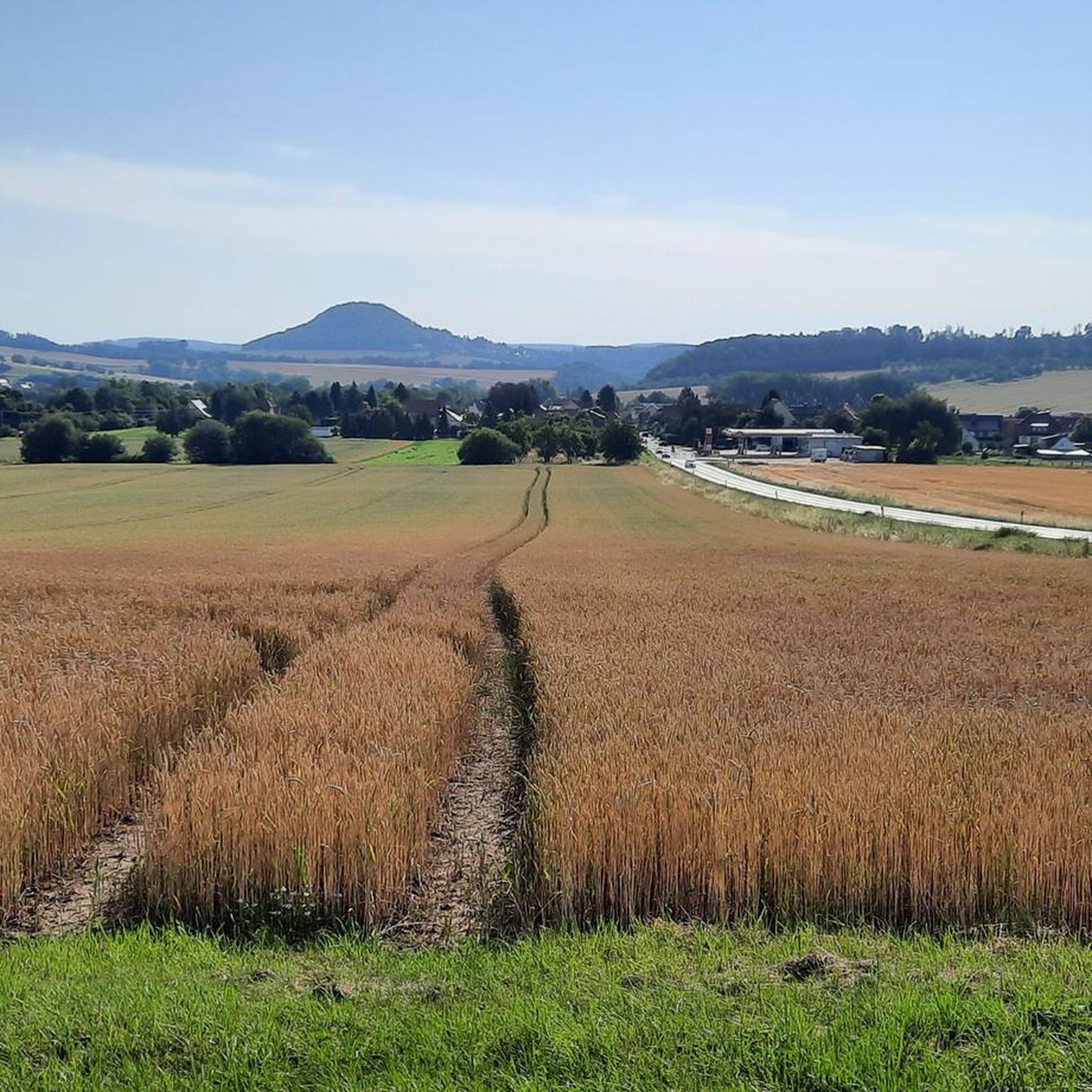
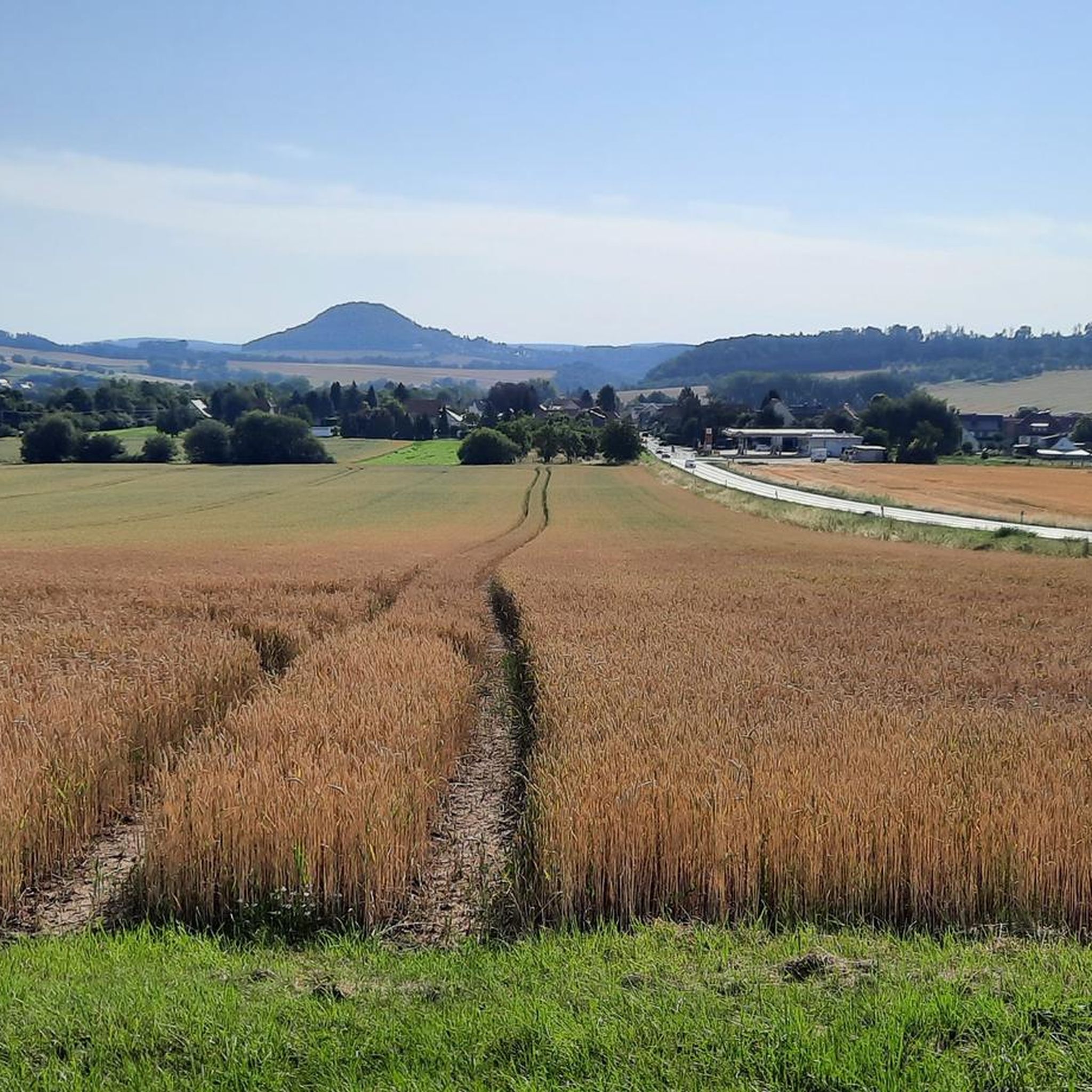
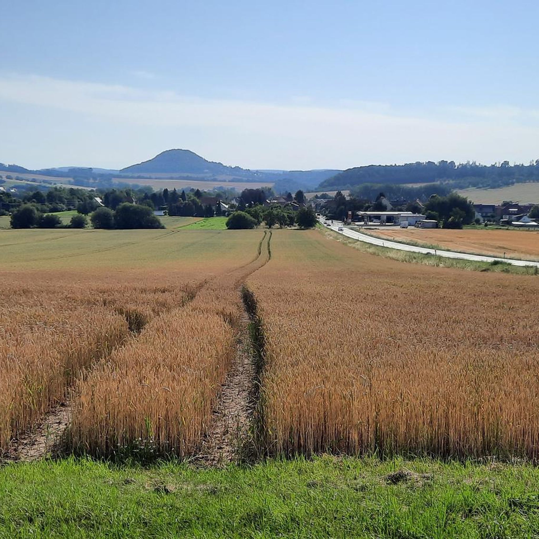
Beautiful bench above the sports field of Hohengandern with a great view
0
0
Beautifully situated bench with trash can along a quiet meadow path with a great view of Hohengandern and the Hanstein
0
0

Pilgrim's path, beautiful uphill from Kirchgandern up to the chapel.
0
0
You can't see the border, you can only guess
0
0
Frequently Asked Questions
How many hiking trails are available around Hohengandern?
There are over 10 hiking routes around Hohengandern, offering a variety of experiences. These include 7 easy trails and 5 moderate trails, ensuring options for different fitness levels.
What makes the hiking experience in Hohengandern unique?
Hohengandern is situated in the unique 'three-country corner' where Hessen, Niedersachsen, and Thuringia meet, offering trails that explore this historical border region. The area is characterized by rolling hills, picturesque valleys, and the scenic Werra River valley, providing diverse landscapes from ancient beech forests to dramatic limestone escarpments.
Are there any family-friendly hiking options in Hohengandern?
Yes, Hohengandern offers several easy routes suitable for families. Many trails follow the Werra River, providing leisurely walks through green meadows. The region's varied terrain also includes circular walks through forests that are enjoyable for all ages.
Can I bring my dog on the hiking trails?
Most hiking trails around Hohengandern are dog-friendly, allowing you to explore the natural beauty with your canine companion. It's always recommended to keep dogs on a leash, especially in areas with wildlife or near livestock, and to carry water for both yourself and your pet.
What are the best times of year to go hiking in Hohengandern?
The best times to hike in Hohengandern are spring and autumn. In spring, nature is in full bloom, offering vibrant colors and fresh air. Autumn transforms the landscape with stunning foliage displays. Both seasons provide pleasant temperatures for exploring the trails.
Are there any circular hiking routes in the area?
Yes, Hohengandern is an excellent starting point for numerous circular walks. For example, the Former DDR Border Patrol Road – View of the Yellow Fields loop from Hohengandern is a popular 6.4 km circular trail that offers historical insights and open views.
What kind of natural attractions can I see along the trails?
The region boasts diverse natural attractions. You can explore the scenic Werra River valley, discover the striking 'Drachenstein' rock formation in the adjacent forests, or visit the Werra River Bend Trail. The broader Eichsfeld district is also known for its limestone escarpments and ancient beech forests.
Are there any castles or historical landmarks to visit while hiking?
Absolutely. The area is rich in history. You can hike to Hanstein Castle, a prominent landmark offering scenic views, or explore routes that touch upon the former inner-German border. The View of Hanstein Castle – View of the Werra Valley loop from Hanstein-Rusteberg is an easy path providing scenic vistas of the castle and river.
What do other hikers enjoy most about hiking in Hohengandern?
The area is highly rated by the komoot community, with an average score of 4.6 stars from over 3800 reviews. Hikers often praise the diverse landscapes, from rolling hills and river valleys to dense woodlands, and the well-maintained trails that cater to various skill levels. Many appreciate the historical context of the region as well.
Are there any long-distance hiking trails accessible from Hohengandern?
Yes, Hohengandern provides access to significant long-distance trails. The 280-kilometer-long Eichsfeld hiking trail, known for its breathtaking landscapes and cultural treasures, traverses the region. Additionally, the Werra-Burgen-Steig, famous for its castles and forests, follows the Werra River and its surrounding heights.
Are there any trails that include refreshment stops or inns?
Yes, some routes offer opportunities for refreshment. For instance, the Kolonnenweg – Klausenhof Inn loop from Hohengandern is a moderate 9.3 km trail that leads past the Klausenhof Inn, providing a chance to stop for a meal or drink.
What is the general difficulty level of hikes around Hohengandern?
Hiking around Hohengandern offers a range of difficulty levels. Out of the available routes, 7 are classified as easy, and 5 are moderate. There are no difficult trails, making the area accessible for most hikers looking for enjoyable outdoor experiences.
Most popular routes around Hohengandern
Most popular attractions around Hohengandern

Get inspired with the komoot mobile app


Explore more
Browse the best Hikes in other regions.
