The best running trails in Wurzacher Ried
4.5
(241)
2,678
runners
302
runs
Jogging in Wurzacher Ried offers a network of trails through a unique wetland landscape. The region is characterized by its extensive peatlands, open meadows, and the tranquil Riedsee lake, providing varied terrain for runners. These paths often follow natural watercourses and offer views of the surrounding nature reserve. The relatively flat topography makes many of these routes suitable for beginner jogging paths in Wurzacher Ried.
Best jogging routes in Wurzacher Ried
- The most popular jogging route is Riedsee in the…
Last updated: July 8, 2026
4.0
(2)
32
runners
Hard run. Very good fitness required. Mostly paved surfaces. Suitable for all skill levels.
4.0
(2)
20
runners
Moderate run. Good fitness required. Mostly paved surfaces. Suitable for all skill levels.

Sign up for free
13
runners
Moderate run. Good fitness required. Mostly paved surfaces. Suitable for all skill levels.
5.0
(1)
5
runners
4.11km
00:27
40m
40m
Easy run. Great for any fitness level. Mostly paved surfaces. Suitable for all skill levels.
5
runners
Hard run. Very good fitness required. Mostly paved surfaces. Suitable for all skill levels.
Get access to more routes and recommendations from other explorers.
Sign up for free
Already have an account?
Our route recommendations are based on thousands of hikes, rides, and runs completed by other people on komoot.
Start today with a free account
Your next adventure awaits.
Login or Signup
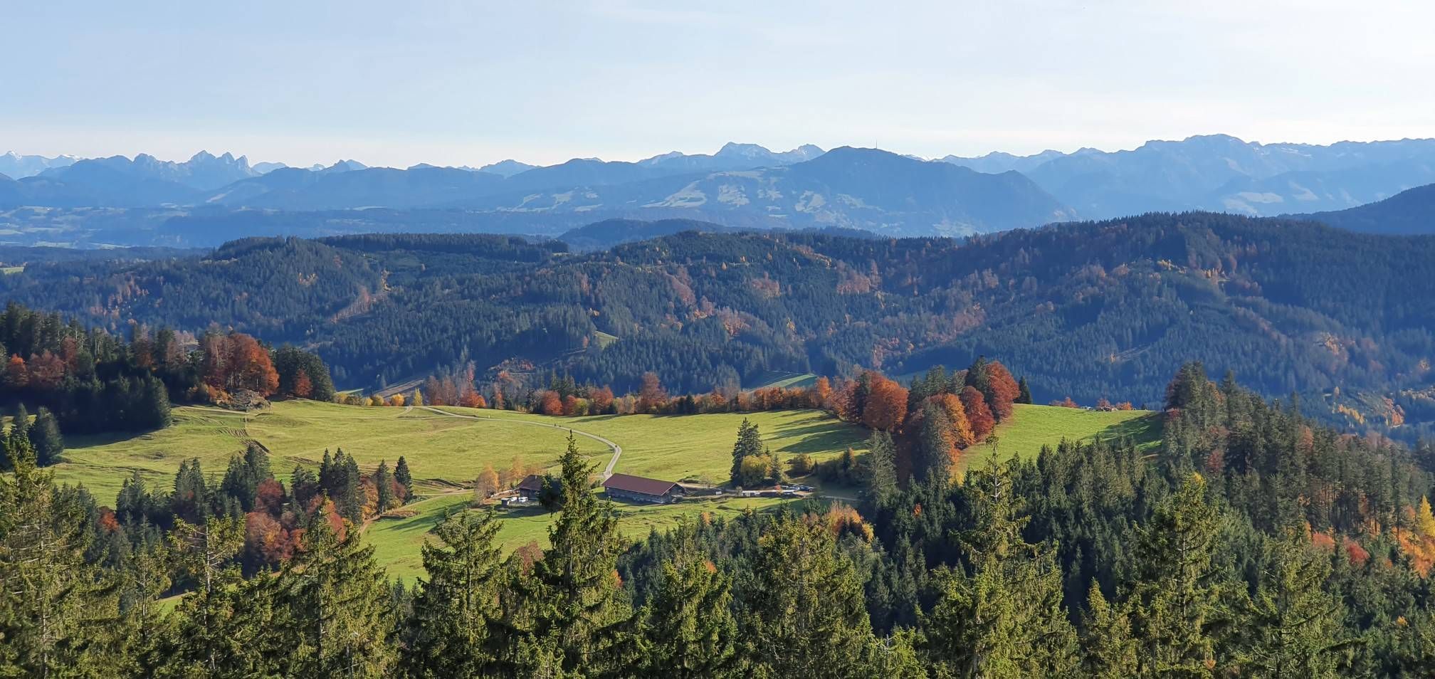
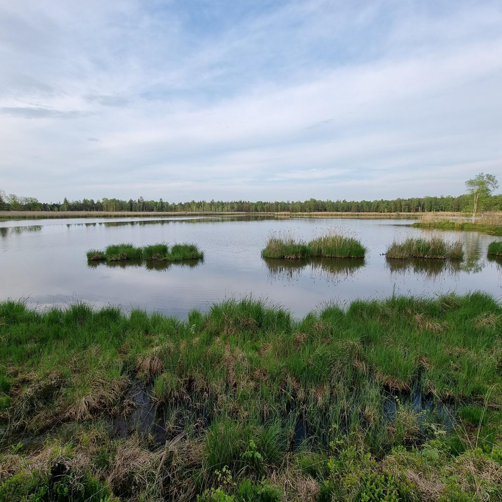
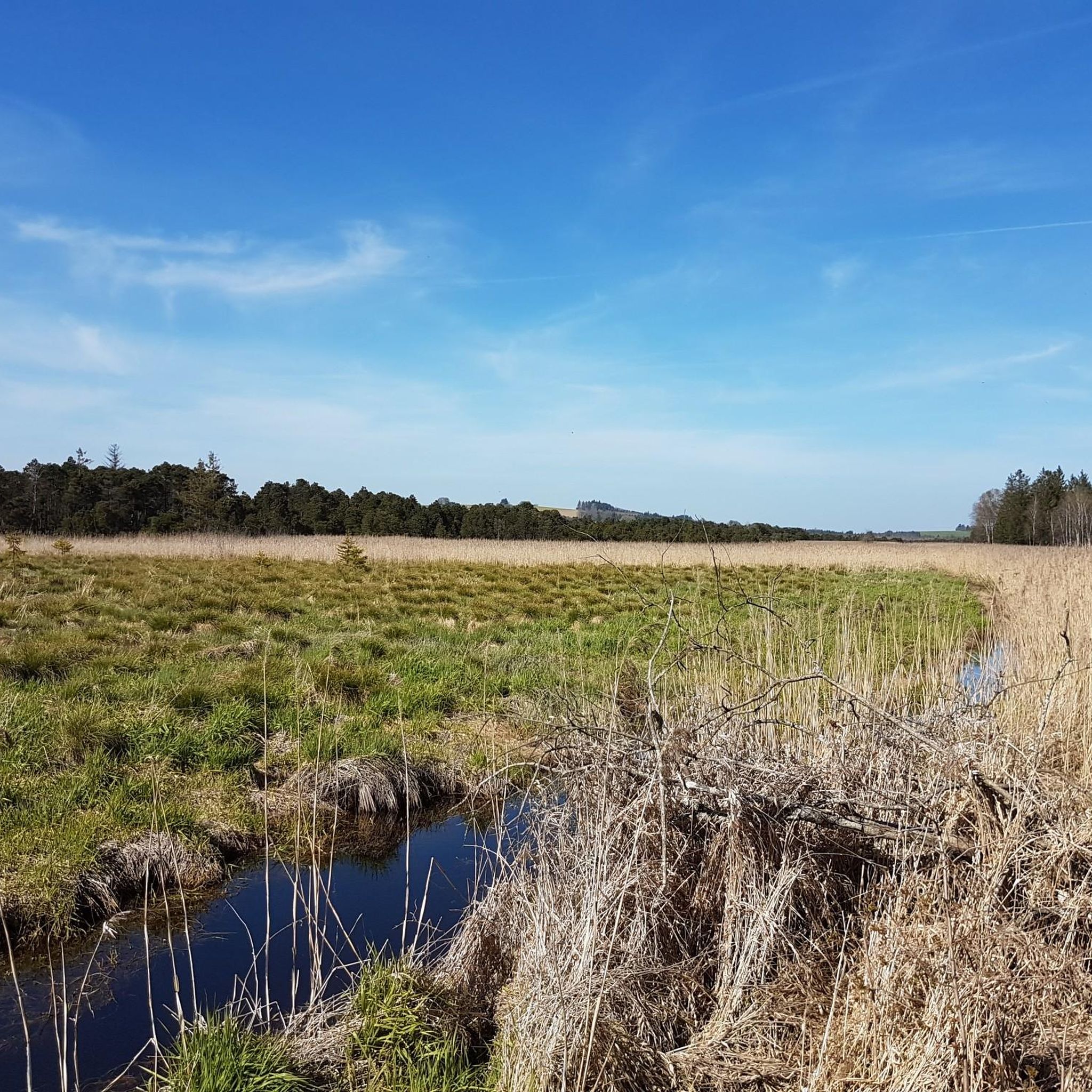
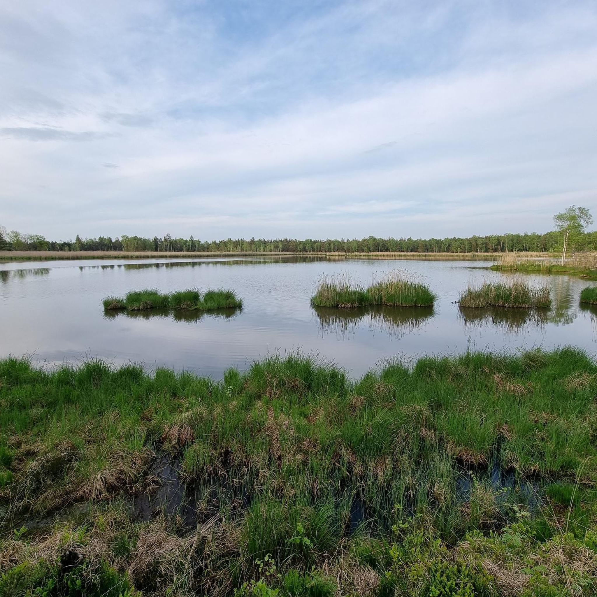
Other adventures in Wurzacher Ried

Tips from the Community

This is a completely new experience and fun, the Kneipp basin on the other side (without mud) is also practical for getting your feet clean again.
0
0
A nice spot for a sunny break with a great view
0
0

Beautiful hiking trails in the Wurzacher Ried, with benches for resting and enjoying the tranquility. A wonderful area surrounded by beautiful nature.
0
0

The chapel protected me from the thunderstorm and downpour through its open door
0
0

Wurzach Castle (1723-1728) in the city center boasts one of the most beautiful Baroque staircases in southern Germany. It is considered a jewel on the Upper Swabian Baroque Route. The elegantly curved staircase cleverly ascends a considerable height to the ceiling fresco, depicting an ancient heaven of the gods. The impressive painting centers on the legend of Hercules. Commissioned by the House of Waldburg-Zeil-Wurzach, it was likely significantly influenced by Italian artists. The castle courtyard is flanked by two guardhouses, the "Hohes Haus" (High House) to the west and the "Rentamt" (Tax Office), built in 1691, to the east. This wing also houses the old castle chapel, first mentioned in 1422. To the left in the choir is the tomb of George I of Waldburg, "Jörg with the pretty hair," who died in 1467. The Baroque staircase is open daily from 7 a.m. to 7 p.m. (free entry) (Source: https://www.oberschwaben-tourismus.de/attraktionen/barocktreppenhaus-wurzacher-schloss-759edc50a8)
0
0

This "slightly different" Kneipp pool features mud instead of cold water. Have fun.
1
0

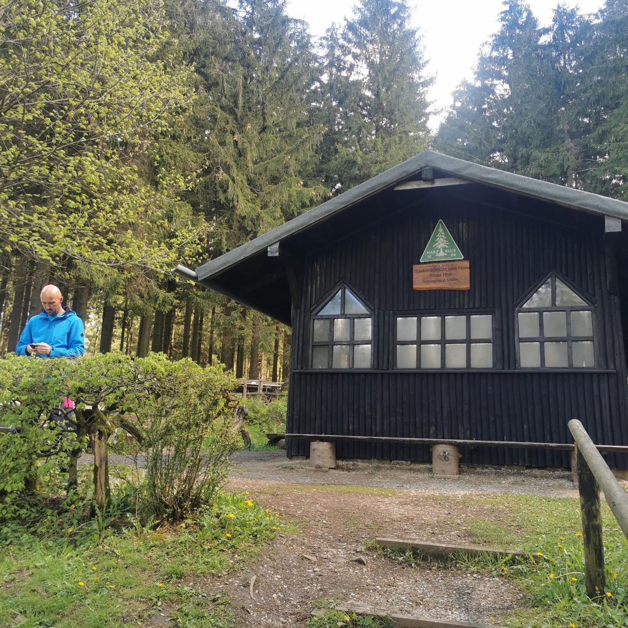
The beautiful chapel at 758 meters is very popular with pilgrims, and not just on January 20, St. Bastian's Day. Located in the middle of the forest, the extremely well-maintained chapel is a real eye-catcher.
4
1

Chapel and wayside cross with a view of the Wurzacher Ried
0
0
Frequently Asked Questions
How many running routes are available in Wurzacher Ried?
Wurzacher Ried offers a comprehensive network of over 300 running routes. These range from easy paths suitable for beginners to more challenging trails, ensuring options for every fitness level.
Are there easy jogging routes in Wurzacher Ried for beginners?
Yes, Wurzacher Ried is well-suited for beginners, with 50 easy running routes. The relatively flat topography of the peatlands and meadows makes many paths accessible for those new to jogging. A good option to start with is the Riedsee in the Wurzacher Ried – Riedsee in the Wurzacher Ried loop from Bad Wurzach, which is a moderate 4.9 miles (7.9 km) path around the scenic Riedsee.
Are there any circular running trails in Wurzacher Ried?
Many of the running routes in Wurzacher Ried are circular, allowing you to start and end at the same point. For example, the popular Riedsee in the Wurzacher Ried – View of Wurzacher Ried loop from Bad Wurzach is a 9.9-mile (16.0 km) circular trail offering expansive views.
What kind of natural attractions can I see along the running routes?
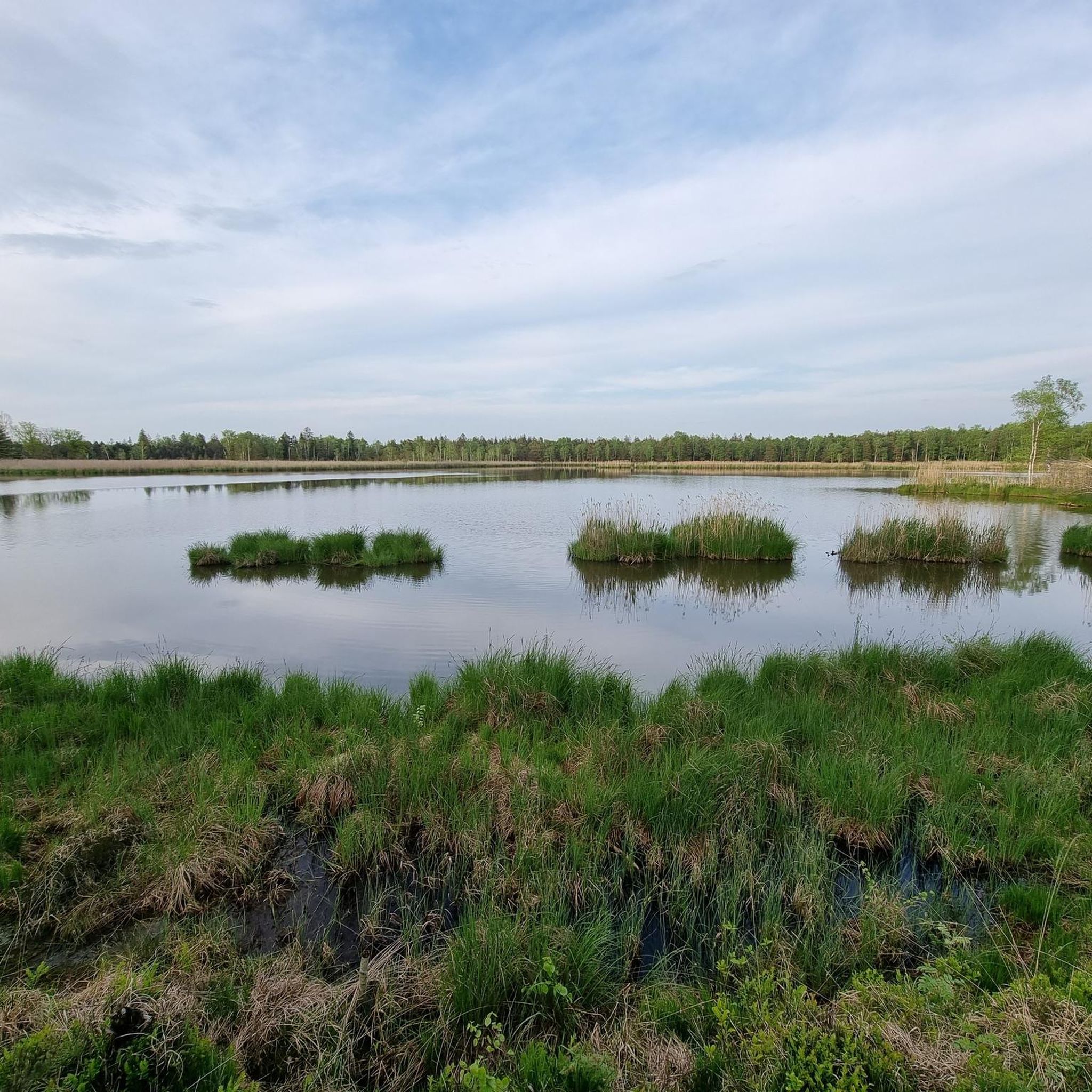
The routes often pass through the unique wetland landscape of Wurzacher Ried, offering views of extensive peatlands, open meadows, and the tranquil Riedsee lake. You can also discover natural monuments like the Riedsee in the Wurzacher Ried and the Observation Platform at the Haidgauer Spring Lakes, which provide excellent viewpoints.
Is Wurzacher Ried suitable for family-friendly running or walks?
While primarily focused on running, the generally flat and well-maintained paths around the Riedsee and through the meadows can be suitable for families looking for a gentle jog or walk. The natural environment offers a pleasant setting for outdoor activity together.
Are dogs allowed on the running trails in Wurzacher Ried?
Many trails in Wurzacher Ried are dog-friendly, but it's important to keep your dog on a leash, especially within the nature reserve areas, to protect wildlife and respect other users. Always check local signage for specific regulations.
What is the best season for jogging in Wurzacher Ried?
Spring and autumn are generally considered the best seasons for jogging in Wurzacher Ried, offering mild temperatures and beautiful scenery. In spring, you'll see the landscape come alive, while autumn brings vibrant colors. Summer can be pleasant, but be mindful of warmer temperatures, especially midday. Winter running is possible, but trails might be icy or muddy, so appropriate footwear is essential.
Are there viewpoints along the running routes in Wurzacher Ried?
Yes, several routes offer scenic viewpoints. The Observation Platform at the Haidgauer Spring Lakes is a notable spot, and many trails around the Riedsee in the Wurzacher Ried provide expansive views across the wetlands.
What do other runners enjoy most about jogging in Wurzacher Ried?
The area is highly rated by the komoot community, with an average score of 4.5 stars from over 240 reviews. Runners often praise the tranquil atmosphere, the diverse natural landscape of peatlands and meadows, and the well-maintained paths that offer a refreshing escape into nature.
Are there any cafes or places to eat near the running trails?
Bad Wurzach, the main town adjacent to Wurzacher Ried, offers various cafes and restaurants where you can refuel after your run. Some routes, like the Bad Wurzach town centre – Bad Wurzach Castle loop from Bad Wurzach, even lead directly through or near the town center.
Is there parking available for accessing the running trails?
Yes, there are designated parking areas in and around Bad Wurzach and at various access points to the Wurzacher Ried nature reserve. These are typically well-marked and provide convenient starting points for your run.
Can I reach the running routes in Wurzacher Ried by public transport?
Bad Wurzach is connected by public transport, making it possible to access the running routes without a car. Check local bus schedules for connections to the town center, which serves as a good starting point for many trails, including those around the Riedsee.
Are there any routes that explore the historic peat sheds?
Yes, you can explore routes that pass by or near the historic peat sheds, which are an integral part of the region's heritage. The Peat Sheds at Wurzacher Ried – Wurzacher Ried loop from Bad Wurzach is a 10-mile (16.1 km) route that offers insights into this unique aspect of the landscape.
Most popular routes in Wurzacher Ried
Most popular attractions in Wurzacher Ried

Get inspired with the komoot mobile app


Explore more
Browse the best Running Trails & Routes in other regions.
