The best cycling routes around Hohenfels-Essingen
4.4
(2809)
11,755
riders
476
rides
Touring cycling routes around Hohenfels-Essingen traverse the Eifel region, characterized by its volcanic origins and diverse landscapes. The area features unique geological formations, including maare (volcanic lakes) and impressive rock formations like the Gerolsteiner Dolomites. Cyclists can explore dense forests, open valleys, and former railway lines converted into accessible paths. The terrain offers a mix of gentle gradients and more challenging ascents, suitable for various touring cycling experiences.
Best touring cycling routes around Hohenfels-Essingen
- The most popular touring cycling route…
Last updated: September 30, 2026
4.6
(16)
57
riders
51.0km
03:38
520m
520m
Hard bike ride. Very good fitness required. You may need to push your bike for some segments of this route.
4.7
(16)
57
riders
Hard bike ride. Very good fitness required. Mostly paved surfaces. Suitable for all skill levels.

4.6
(15)
73
riders
Hard bike ride. Very good fitness required. Mostly paved surfaces. Suitable for all skill levels.
46
riders
103km
09:32
2,070m
2,070m
Hard bike ride. Very good fitness required. You may need to push your bike for some segments of this route.
4.0
(8)
24
riders
Hard bike ride. Very good fitness required. Mostly paved surfaces. Suitable for all skill levels.
Get access to more routes and recommendations from other explorers.
Already have an account?
Our route recommendations are based on thousands of hikes, rides, and runs completed by other people on komoot.
Start today with a free account
Your next adventure awaits.
Tips from the Community


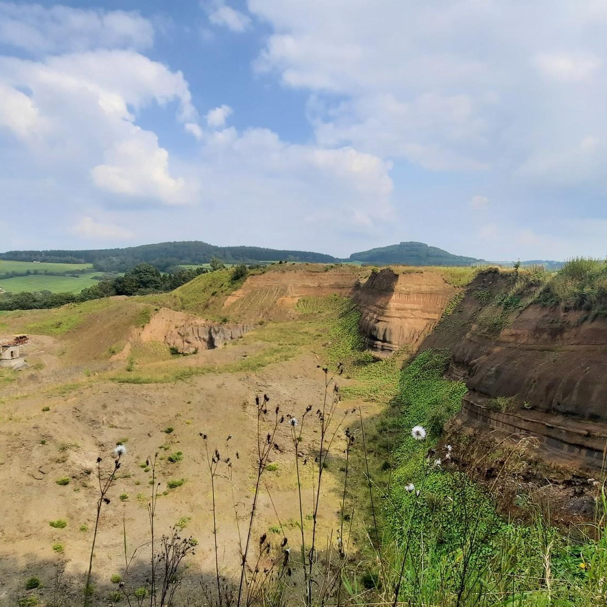
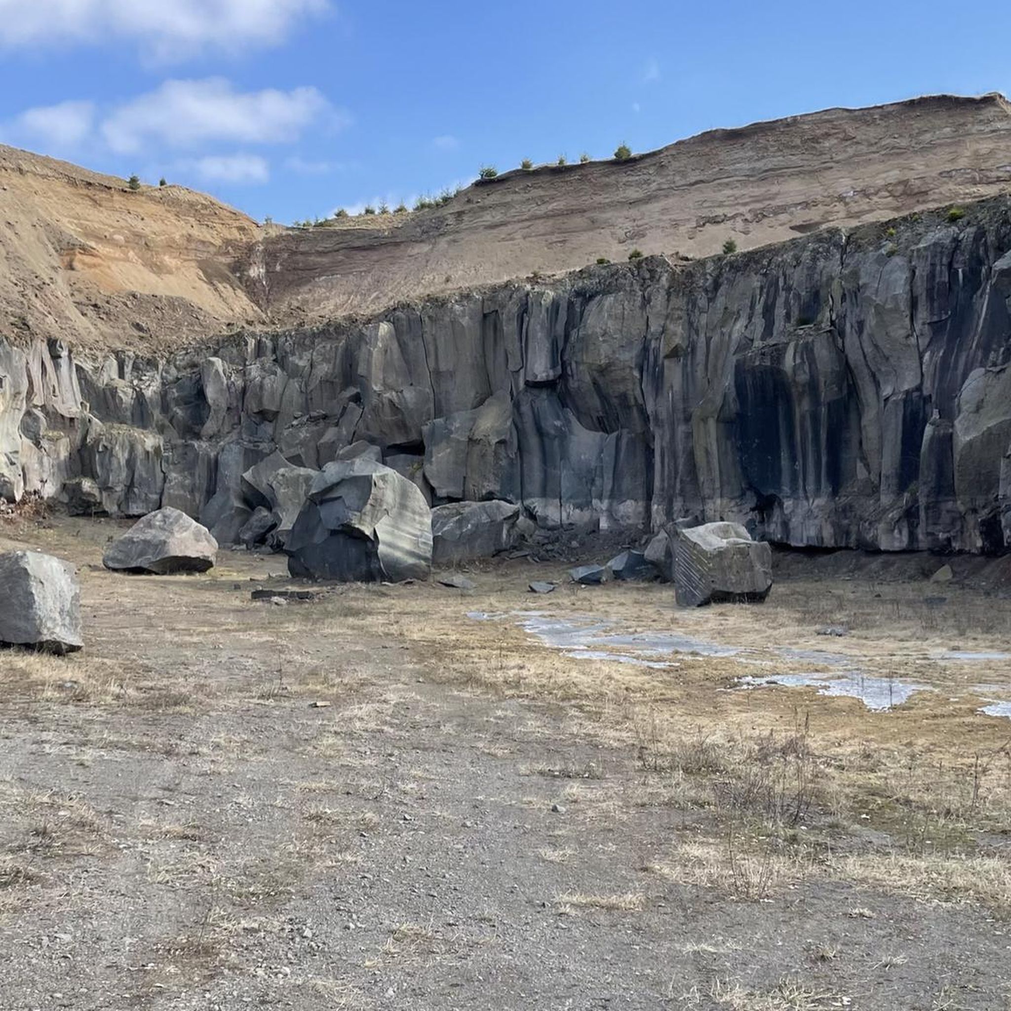
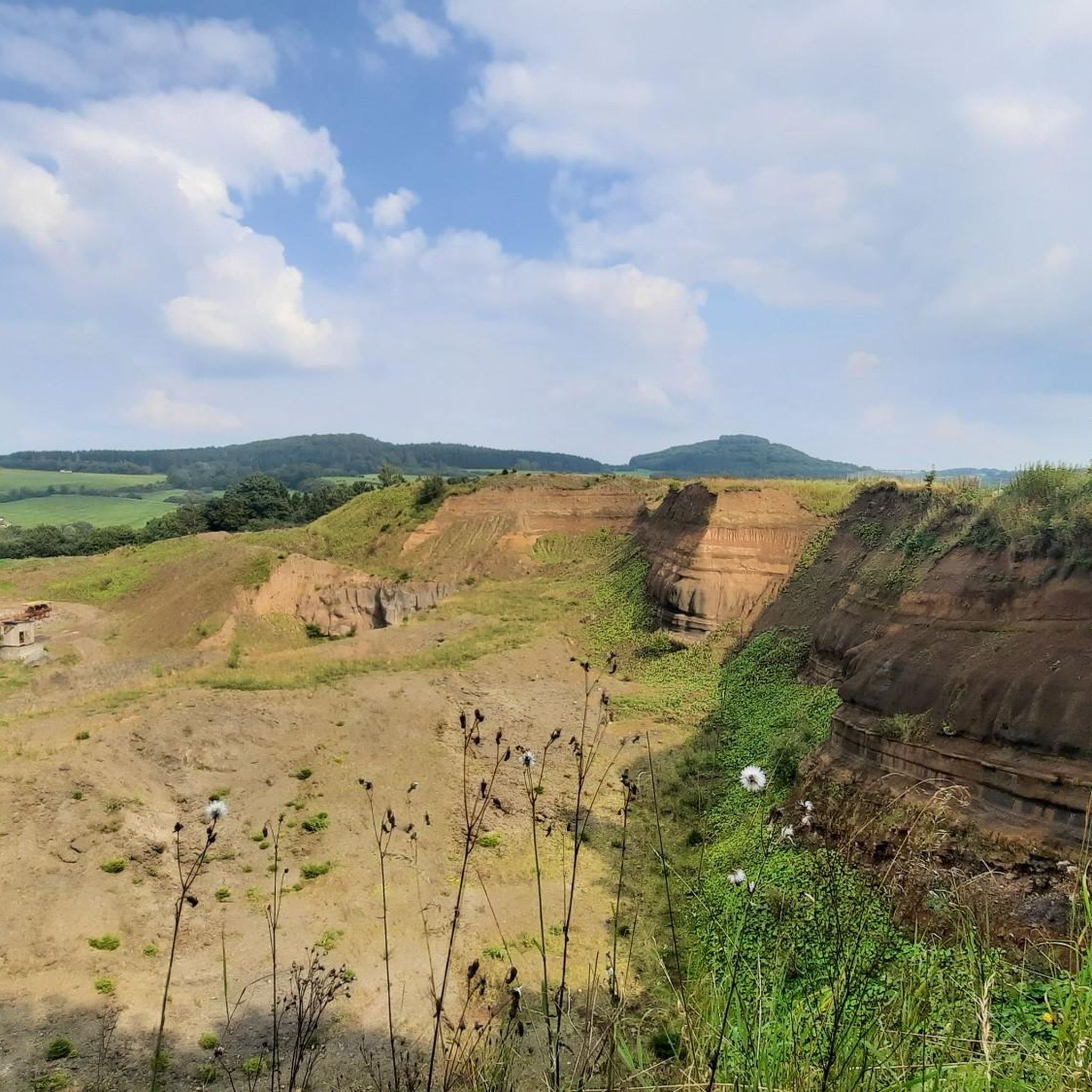
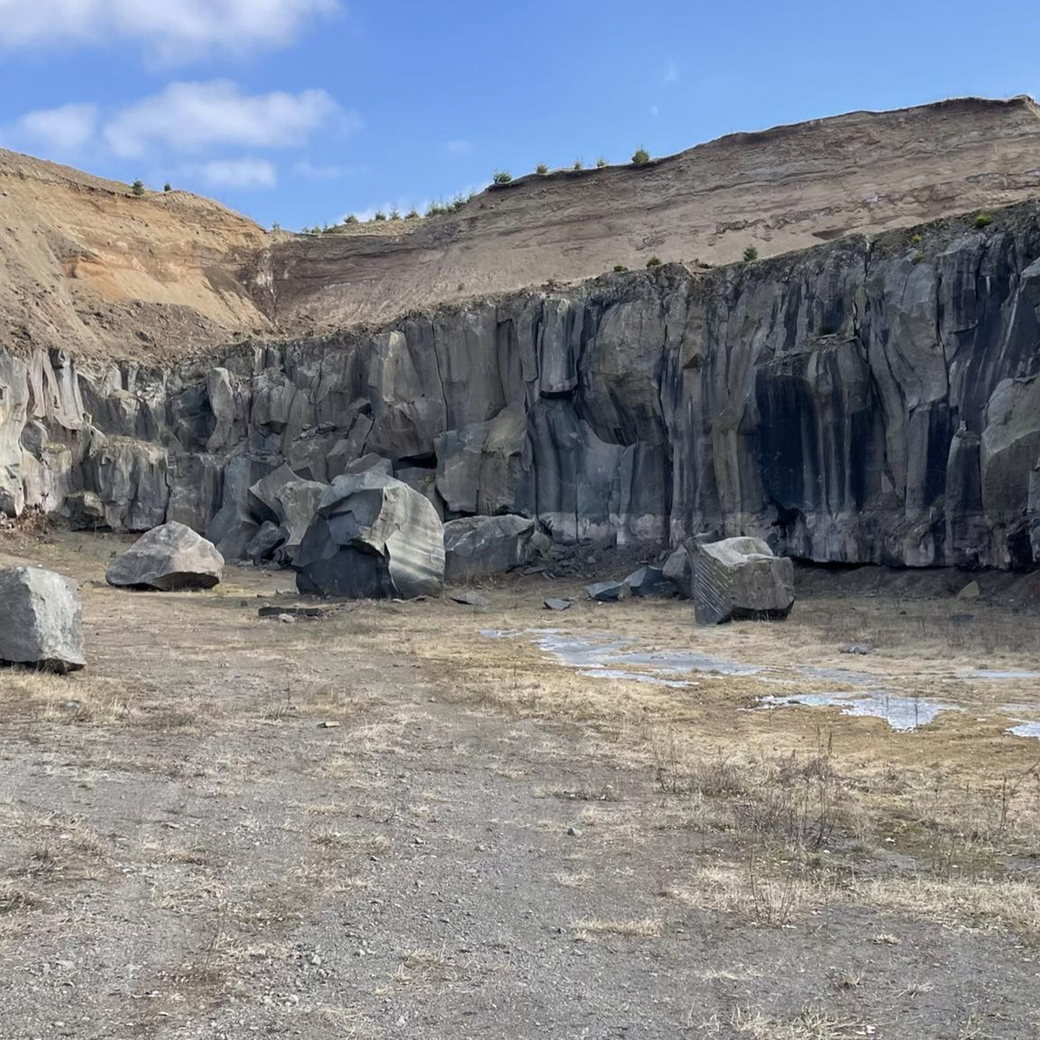
The Glaadtbachtal is one of the quieter and less touristy valleys in the region. The Glaadtbach flows through a narrow low mountain valley with meadows, wetlands, wooded slopes, and small villages. The area is strongly volcanic and geologically shaped – typical for the Eifel. You can find old rock formations, stream meadows, and calcareous soils. Historically, the region was primarily agricultural, later small mills, ore mining, and forestry were added. Of particular natural interest are the wetlands and near-natural stream sections. Numerous amphibians, rare insect species, and typical Eifel bird species live there.
1
0

Take plenty of drinks, sturdy shoes and time
0
1


For those with time, a visit to the Eagle and Wolf Park is certainly interesting.
0
0

In Bolsdorf, a small village a few kilometers from the center of Hillesheim, which hikers or walkers can reach, for example, via a path through the "Bolsdorf Valley," there is a beautifully maintained chapel. The church has been entrusted to Saint Margaret as its patron saint. Visitors will find her statue on the left side wall in front of the apse. She holds a palm branch in one hand, the symbol of martyrdom in Christian iconography. Opposite her on the right side wall is Anthony of Padua, dressed in the classic Franciscan habit. The keystone on the ceiling of the nave displays several dates—the oldest, 1505, the consecration date—and in the center, the Lamb of God with the victorious banner, a symbol of the conquest of death and suffering.
4
0

Million dollar view of the castle
0
0

The pig iron ladle car was moved from its old location on Römerwall to Jünkerath station, 500 meters away, at the end of June 2025, and can now be admired there. Coming from Bahnhofstraße, simply enter the station and exit at the back to the Park-and-Ride parking lot on Gewerkschaftsstraße. https://www.eisenbahnmuseum-juenkerath.de/umsetzung-des-juenkerather-roheisenpfannenwagens-teil-17897a0b9
0
0
Frequently Asked Questions
How many touring cycling routes are available around Hohenfels-Essingen?
There are over 480 touring cycling routes available around Hohenfels-Essingen. This includes a wide range of options, with approximately 68 easy routes, 225 moderate routes, and 195 difficult routes, catering to various skill levels and preferences.
What do other touring cyclists say about the routes in Hohenfels-Essingen?
The touring cycling routes in Hohenfels-Essingen are highly rated by the komoot community, with an average score of 4.6 stars from over 2,500 reviews. More than 12,000 touring cyclists have explored the varied terrain, often praising the unique volcanic landscapes, dense forests, and well-developed paths.
When is the best time of year to go touring cycling in Hohenfels-Essingen?
The Eifel region, including Hohenfels-Essingen, is generally pleasant for touring cycling from spring through autumn. Spring offers blooming landscapes, while summer provides warmer weather for longer rides. Autumn showcases beautiful fall foliage. It's always advisable to check local weather conditions before heading out.
Are there touring cycling routes that feature the volcanic maare?
Yes, the region is famous for its volcanic maare. You can find routes that offer views of these unique crater lakes. For example, the difficult route Viewpoint Meerfelder Maar – View of Bertrada Castle loop from Landkreis Vulkaneifel provides scenic vistas of volcanic lakes. Another option is the View of the Gemündener Maar – View of the Gemünden maar loop from Walsdorf, which specifically highlights the Gemünden Maar.
Can I find circular touring cycling routes in the area?
Yes, many touring cycling routes around Hohenfels-Essingen are designed as loops, allowing you to start and end at the same point. An example of a challenging circular route is the View of the Schalkenmehrener Maar – Weinfelder Maar loop from Rockeskyll, which covers over 100 km through volcanic maare.
What natural landmarks or attractions can I see while cycling?
The region offers diverse natural attractions. You can encounter the unique Dreimühlen Waterfall, which is part of a cycling trail, or explore the impressive Gerolsteiner Dolomites with their ancient reef formations. The volcanic maare, like the Gemünden Maar, also provide beautiful scenery. For specific highlights, consider visiting the Mohlbach Singletrail or the Nature Trail Singletrack (Natur- und Geopark Vulkaneifel).
Are there any routes that pass by castles or historic sites?
Yes, the area around Hohenfels-Essingen features several castles and historic sites that can be incorporated into your cycling tours. You might pass by or get views of landmarks such as Kerpen Castle (Eifel), Freudenkoppe Castle Ruins, or the Kasselburg. The route View of Kasselburg Castle – Kyll Bridge, Jünkerath loop from Landkreis Vulkaneifel offers views of Kasselburg Castle.
Are there easy touring cycling routes for beginners?
Yes, Hohenfels-Essingen offers around 68 easy touring cycling routes suitable for beginners or those looking for a more relaxed ride. These routes often utilize former railway lines converted into accessible paths, providing gentle gradients through forests and valleys.
Are dogs allowed on touring cycling routes around Hohenfels-Essingen?
Many touring cycling routes in the Eifel region are dog-friendly, especially those on dedicated cycle paths or forest trails. However, it's always recommended to keep your dog on a leash, especially in nature reserves or near livestock, and to check specific route regulations if available. Ensure your dog is fit enough for the distance and terrain.
Is public transport available to reach the trailheads?
Public transport options, including regional trains and buses, serve various towns and villages in the Eifel region, which can provide access to trailheads around Hohenfels-Essingen. It's advisable to check local transport schedules and policies regarding bicycle carriage in advance, as services can vary.
Where can I find parking for touring cycling routes?
Parking is generally available in the towns and villages near the starting points of many touring cycling routes in Hohenfels-Essingen. Look for designated parking areas in places like Walsdorf, Rockeskyll, or other communities within the Landkreis Vulkaneifel. Some trailheads, particularly those on converted railway lines, may also have small parking lots.
Are there any longer, more challenging touring cycling routes in Hohenfels-Essingen?
For experienced touring cyclists seeking a challenge, Hohenfels-Essingen offers nearly 200 difficult routes. An example of a demanding route is the View of the Schalkenmehrener Maar – Weinfelder Maar loop from Rockeskyll, which spans over 100 km with significant elevation gain, taking approximately 9 hours and 50 minutes to complete.
Most popular routes around Hohenfels-Essingen
Most popular attractions around Hohenfels-Essingen

Get inspired with the komoot mobile app


Explore more
Browse the best Cycling routes in other regions.
