The best walks and hikes in Stupfericher Wald-Schönberg
4.5
(11294)
50,998
hikers
30
hikes
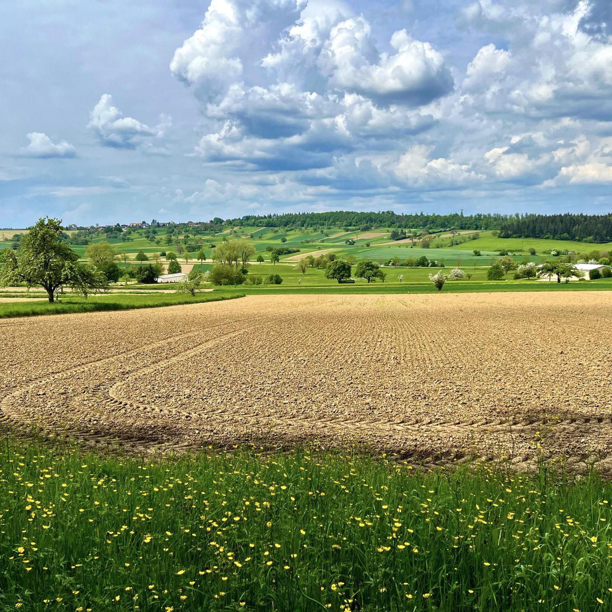
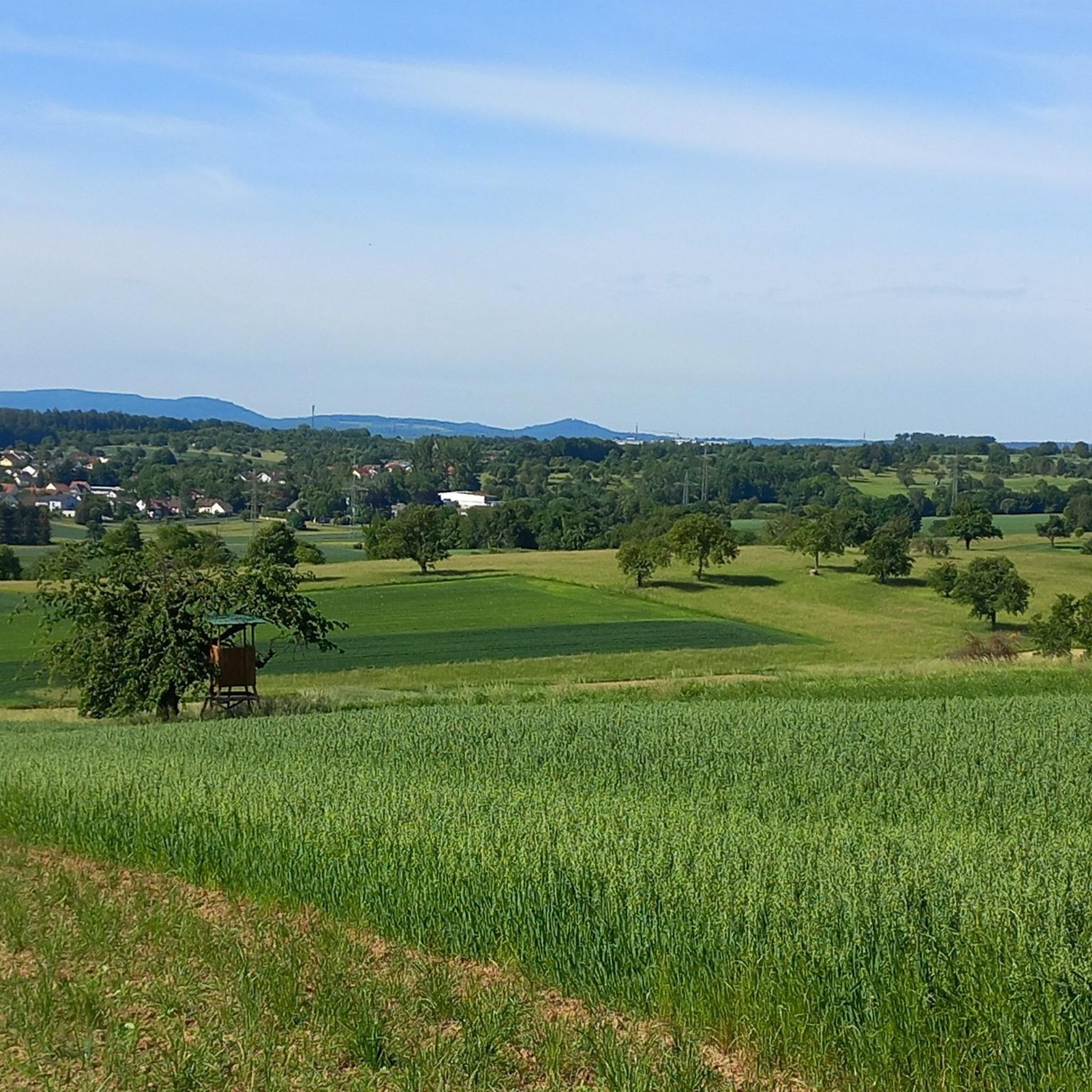
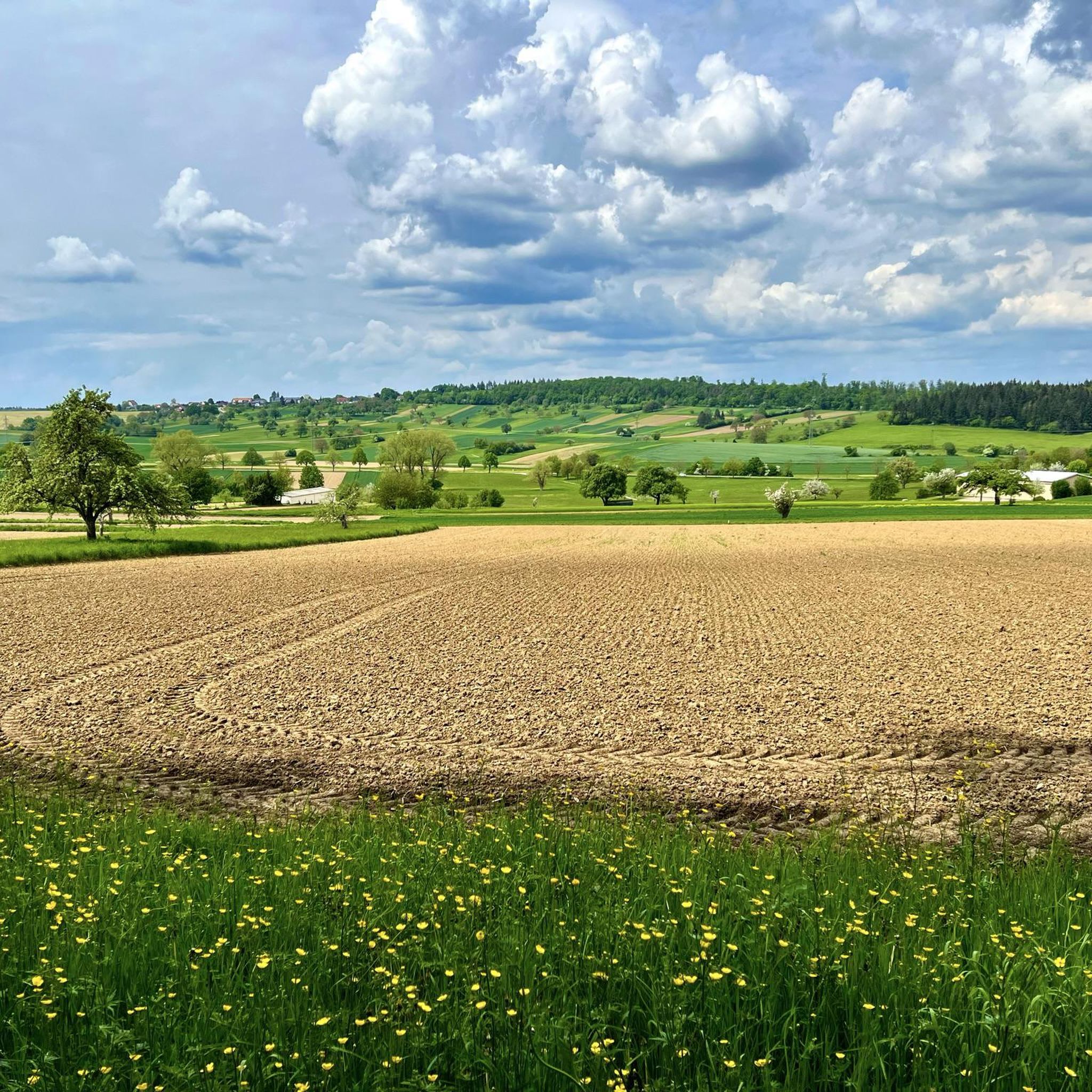
Hiking in Stupfericher Wald-Schönberg offers a diverse range of trails through a predominantly forested environment, characterized by varied topography. The region features elevated areas that provide panoramic viewpoints overlooking Durlach, Karlsruhe, and extending to the Rhine plain. Hikers will encounter a blend of wooded paths and open landscapes, including field crosses at the forest edge.
Best hiking trails in Stupfericher Wald-Schönberg
- The most popular hiking route is Thomashof | Backlädle Farm Shop – Birch Avenue loop from Stupferich, an…
Last updated: July 1, 2026
4.7
(14)
81
hikers
Easy hike. Great for any fitness level. Easily-accessible paths. Suitable for all skill levels.
4.5
(6)
31
hikers
7.55km
02:04
120m
120m
Moderate hike. Good fitness required. Easily-accessible paths. Suitable for all skill levels.

Sign up for free
4.4
(7)
18
hikers
10.5km
02:59
210m
210m
Moderate hike. Good fitness required. Easily-accessible paths. Suitable for all skill levels.
4.2
(6)
19
hikers
Moderate hike. Good fitness required. Easily-accessible paths. Suitable for all skill levels.
4.7
(6)
17
hikers
16.5km
04:33
290m
290m
Moderate hike. Good fitness required. Easily-accessible paths. Suitable for all skill levels.
Get access to more routes and recommendations from other explorers.
Sign up for free
Already have an account?
Our route recommendations are based on thousands of hikes, rides, and runs completed by other people on komoot.
Start today with a free account
Your next adventure awaits.
Login or Signup
Tips from the Community

Small hut in good condition at the junction of many forest paths. Often seasonally decorated.
3
0
Well-made panels about the history of this small settlement on the hilltop between Durlach, Stupferich and Hohenwettersbach.
4
0
An institution at Thomashof. Great little shop on the main road, with delicious homemade baked goods and many regional products. There is also a terrace with a nice view, separated from the main road by a hedge.
4
0


The Rittnerthof on the Turmberg was once an agricultural estate with margravial orchards. In the 20th century, under Eduard Merton, the farm developed into the first equestrian center—complete with an Art Nouveau villa. Fritz Gebhardt acquired it in 1933. During the Nazi era, Hannelore Hansch offered shelter to the persecuted and was a center of religious opposition. Today, the Rittnerthof remains a living testimony to regional history.
6
0
Wonderful vantage point towards Durlach and Karlsruhe, as well as the Rhine plain and the Palatinate Forest.
5
0

Very good coffee, cakes and other delicacies!!!!
0
0

Anyone interested in the short hiking trails around the Wenz fruit farm will find them here: https://obstbauwenz.de/rund-um-den-obsthof/wanderwege/ Shopping and a short hike, a great combination...
1
0
Frequently Asked Questions
How many hiking trails are available in Stupfericher Wald-Schönberg?
There are over 30 hiking trails in Stupfericher Wald-Schönberg, offering a diverse range of experiences. Most of these, about 24, are considered easy, while 6 are moderate, catering to various fitness levels.
What kind of terrain can I expect on the hiking trails?
The trails in Stupfericher Wald-Schönberg primarily traverse a forested environment, as the name suggests. You'll find a blend of wooded paths and open landscapes, including field crosses at the forest edge. The varied topography includes elevated areas that provide panoramic viewpoints.
Are there any family-friendly hiking options in Stupfericher Wald-Schönberg?
Yes, the region offers many easy trails suitable for families. For instance, the Thomashof Historic Farm – Thomashof | Backlädle Farm Shop loop from Stupferich is an easy 4.6 km route that takes about 1 hour 15 minutes, perfect for a leisurely family outing.
Are dogs allowed on the hiking trails?
Stupfericher Wald-Schönberg is generally dog-friendly, with many trails suitable for walks with your canine companion. Always ensure your dog is under control, and be mindful of local regulations regarding leashes, especially near agricultural areas or wildlife.
What are some notable natural features or viewpoints in the area?
A significant natural feature is the Poplar Avenue between Thomashof and Batzenhof Golf Course, a popular spot for walking. The area also boasts magnificent viewpoints overlooking Durlach and Karlsruhe, extending to the Rhine plain and even the Palatinate Forest.
Are there any cultural or historical attractions along the trails?
Yes, the Stupfericher Kulturwanderpfad (Cultural Hiking Trail) circles the district and includes various informational stations. You can also visit the historic Thomashof, which features a farm shop and bakery, and is part of several hiking loops.
What is the best time of year to go hiking in Stupfericher Wald-Schönberg?
Stupfericher Wald-Schönberg is enjoyable throughout the year. Spring and autumn offer pleasant temperatures and beautiful foliage. Summer provides lush green forests and shade, while winter can transform the landscape into a peaceful, snowy wonderland, though some paths might be slippery.
Are there any circular hiking routes available?
Yes, many routes in Stupfericher Wald-Schönberg are circular, allowing you to start and end at the same point. An example is the Talbergstäffele – View of Söllingen loop from Stupferich, a moderate 10.5 km trail.
What do other hikers enjoy most about the trails in Stupfericher Wald-Schönberg?
The area is highly rated by the komoot community, with an average score of 4.6 stars. Reviewers often praise the varied terrain, the peaceful forested paths, and the rewarding panoramic viewpoints over Karlsruhe and the Rhine plain.
Where can I find parking for hiking trails in Stupfericher Wald-Schönberg?
Parking is generally available at common starting points for trails, such as near the Thomashof or in the village of Stupferich itself. Specific parking details can often be found on individual route descriptions.
Are there any cafes or places to eat near the hiking routes?
Yes, the historic Thomashof is a notable spot, featuring a farm shop (Backlädle) where you can find refreshments and local products. This makes it a convenient stop before or after a hike, or even as a midpoint on longer routes.
Are there any less crowded trails for a quieter experience?
While popular, the extensive network of trails in Stupfericher Wald-Schönberg means you can often find quieter paths, especially on weekdays or by exploring some of the less-trafficked loops. Many trails wind deep into the forest, offering solitude.
Most popular routes in Stupfericher Wald-Schönberg
Most popular attractions in Stupfericher Wald-Schönberg

Get inspired with the komoot mobile app


Explore more
Browse the best Hikes in other regions.
