Auer Köpfle - Illinger Altrhein - Motherner Wörth
Auer Köpfle - Illinger Altrhein - Motherner Wörth
The best cycling routes in Auer Köpfle - Illinger Altrhein - Motherner Wörth
4.4
(4386)
25,196
riders
589
rides
Touring cycling routes in Auer Köpfle - Illinger Altrhein - Motherner Wörth traverse a landscape characterized by the Rhine river and its associated floodplains. This region features flat to gently rolling terrain, making it suitable for various cycling abilities. Expect routes that follow riverbanks, pass through riparian forests, and connect small towns. The area's geography provides a network of paths ideal for extended touring cycling.
Best touring cycling routes in Auer Köpfle - Illinger Altrhein - Motherner Wörth
- The most…
Last updated: November 3, 2026
4.6
(5)
62
riders
Easy bike ride. Mostly paved surfaces.
4.3
(4)
58
riders
Easy bike ride. Mostly paved surfaces.

4.3
(6)
20
riders
Hard bike ride. Good fitness required. You may need to push your bike for some segments of this route.
5.0
(2)
13
riders
Hard bike ride. Very good fitness required. You may need to push your bike for some segments of this route.
10
riders
Easy bike ride. Mostly paved surfaces.
Get access to more routes and recommendations from other explorers.
Already have an account?
Our route recommendations are based on thousands of hikes, rides, and runs completed by other people on komoot.
Start today with a free account
Your next adventure awaits.
Popular around Auer Köpfle - Illinger Altrhein - Motherner Wörth
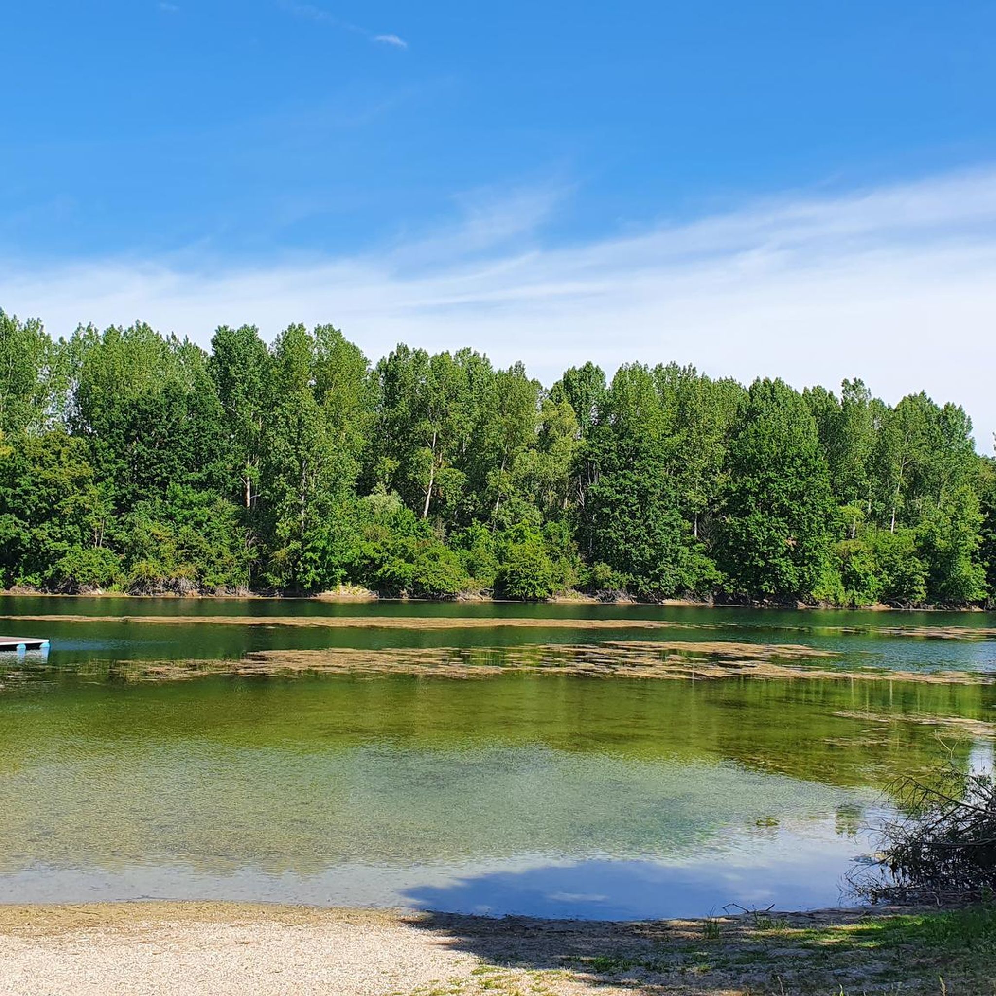
Road Cycling Routes in Auer Köpfle - Illinger Altrhein - Motherner Wörth
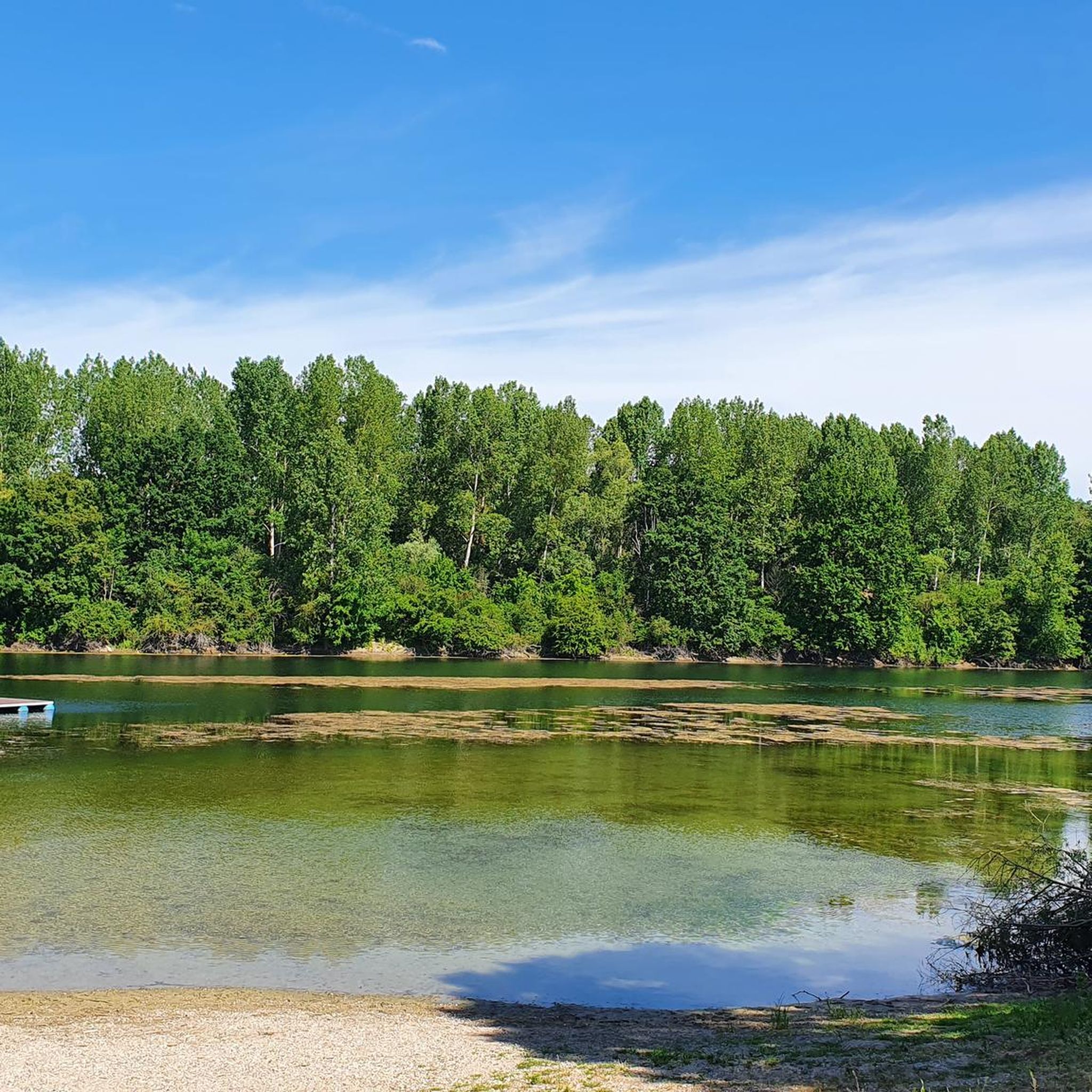
Hiking in Auer Köpfle - Illinger Altrhein - Motherner Wörth

MTB Trails in Auer Köpfle - Illinger Altrhein - Motherner Wörth
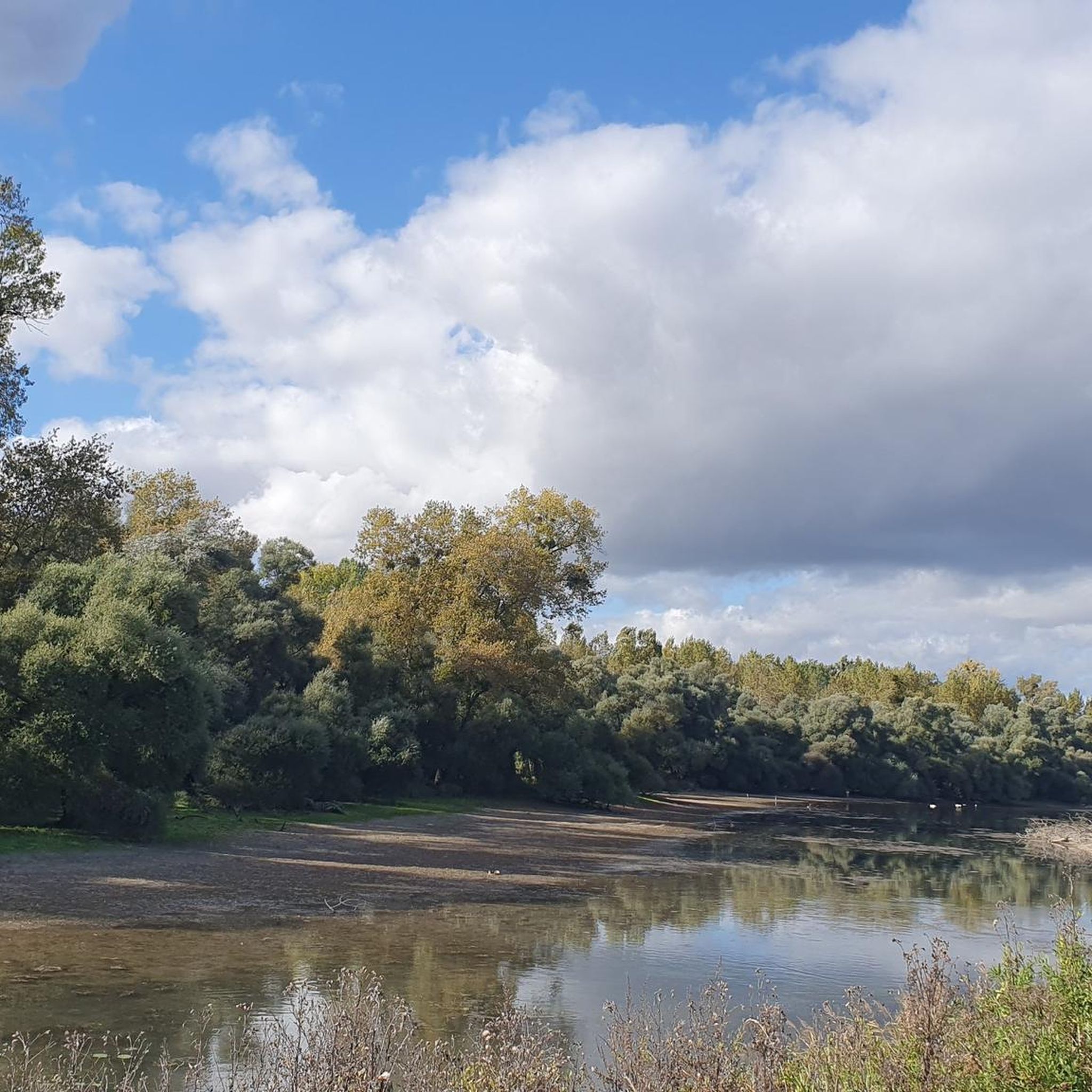
Running Trails in Auer Köpfle - Illinger Altrhein - Motherner Wörth
Gravel biking in Auer Köpfle - Illinger Altrhein - Motherner Wörth
Tips from the Community

Unfortunately, everything is very smeared now....
0
0
One of the many old concrete bridges here in the Altrhein
0
0

discovered on my gravel tour, worth a visit... bring swimming trunks🚵♂️😅n
0
0

View of the Rhine? And this, on the Rhine? Scandal!
4
0


Great cycle path to the mouth of the Murg into the Rhine
0
0

The Rhine is one of Europe's most important rivers and has a length of approximately 1,233 km. Its source lies in the Swiss Alps, where it originates from several mountain streams. From there, it first flows through Switzerland and then partly forms the border between Germany and France, before continuing through Germany and finally the Netherlands. At Rotterdam, the Rhine divides into several distributaries and finally reaches the North Sea. Its drainage basin is very large (approx. 185,000 km²) and includes many tributaries such as the Moselle, Main, or Neckar. The Rhine is of great importance to Europe: Shipping: One of the world's most important waterways for trade and transport Economy: Connection of many industrial and port cities Nature: Habitat for numerous animal and plant species Energy: Utilization through hydropower in the Alpine regions Due to its location and use, the Rhine is considered one of Central Europe's most vital lifelines.
0
0
The Rhine is one of the most important rivers in Europe and has a length of approximately 1,233 km. Its source lies in the Swiss Alps, where it originates from several mountain streams. From there, it first flows through Switzerland and then partly forms the border between Germany and France, before continuing through Germany and finally the Netherlands. Near Rotterdam, the Rhine divides into several distributaries and finally reaches the North Sea. Its catchment area is very large (approx. 185,000 km²) and includes many tributaries such as the Moselle, Main, or Neckar. The Rhine has great importance for Europe: Shipping: One of the most important waterways in the world for trade and transport Economy: Connection of many industrial and port cities Nature: Habitat for numerous animal and plant species Energy: Utilization through hydropower in the Alpine regions Due to its location and use, the Rhine is one of the most important lifelines of Central Europe.
0
0
Frequently Asked Questions
How many touring cycling routes are available in Auer Köpfle - Illinger Altrhein - Motherner Wörth?
There are over 550 touring cycling routes in the Auer Köpfle - Illinger Altrhein - Motherner Wörth region. These routes cater to various skill levels, with a significant number being easy to moderate.
What are the typical difficulties and lengths of touring cycling routes in this region?
The routes range from easy to difficult. You'll find many easy routes, often around 10-15 km, suitable for a relaxed ride. For example, the Neuburgweier Customs House – Seyfart Kiosk on the Rhine loop from Elchesheim-Illingen is an easy 16.6 km route. More challenging options, like the Flusskrebs Bridge – View of the Goldkanal loop from Elchesheim-Illingen, can extend over 34 km and feature varied terrain.
Are there family-friendly touring cycling routes in Auer Köpfle - Illinger Altrhein - Motherner Wörth?
Yes, the region's generally flat to gently rolling terrain along the Rhine makes it ideal for families. Many easy routes follow riverbanks and are suitable for cyclists of all ages. The Community Center Elchesheim-Illingen – Connecting cycle path loop from Elchesheim-Illingen is an easy 10.2 km option that families might enjoy.
What kind of scenery and attractions can I expect to see along the touring cycling routes?
You'll experience diverse riverine paths, floodplain landscapes, and agricultural areas. Highlights include views of the Rhine, riparian forests, and various bodies of water. Notable attractions include the Illinger Quarry Lake and Gold Canal, the Fahner Lake, and the Wooden Boats on the Illinger Altrhein. The region is characterized by its natural beauty and tranquil waterways.
When is the best time of year to go touring cycling in this region?
The spring and autumn months generally offer the most pleasant conditions for touring cycling, with milder temperatures and beautiful natural scenery. Summer can also be enjoyable, especially along the shaded river paths, but be prepared for warmer weather. Winter cycling is possible, but some paths might be less maintained.
Are there circular touring cycling routes available?
Yes, many routes in the Auer Köpfle - Illinger Altrhein - Motherner Wörth region are designed as loops, allowing you to start and end at the same point. For instance, the Linden Avenue Muggensturm – Muggensturm Animal Enclosure loop from Elchesheim-Illingen is a popular circular option.
Can I bring my dog on the touring cycling routes?
Many of the touring cycling routes, especially those along riverbanks and through natural areas, are suitable for cycling with dogs, provided they are well-behaved and kept on a leash where necessary. Always be mindful of local regulations and other path users.
What are some less-known or 'hidden gem' routes for touring cyclists?
While popular routes offer great experiences, exploring the smaller paths connecting villages or venturing into the quieter sections of the floodplains can reveal hidden gems. The Old Rhine in the Rastatt Rhine Floodplain – Forest Pathway Near Rastatt loop from Elchesheim-Illingen offers a moderate ride through less-trafficked areas, showcasing the region's natural beauty.
Are there places to eat and drink along the touring cycling routes?
Yes, many routes pass through or near small towns and villages where you can find cafes, restaurants, and traditional pubs. Along the Rhine, you might also encounter kiosks or beer gardens, especially during warmer months, offering refreshments and local specialties.
What do other touring cyclists enjoy most about cycling in Auer Köpfle - Illinger Altrhein - Motherner Wörth?
The area is highly rated by the komoot community, with an average score of 4.5 stars from over 3,500 reviews. Reviewers often praise the well-maintained paths, the peaceful riverine landscapes, and the variety of routes suitable for different fitness levels. The ease of access to nature and charming villages is frequently highlighted.
Is public transport available to access the cycling routes?
Public transport options, such as regional trains and buses, connect many of the towns and villages within and around the Auer Köpfle - Illinger Altrhein - Motherner Wörth region. These can often be used to reach starting points for routes, though checking specific schedules and bicycle carriage policies beforehand is advisable.
Where can I park my car when visiting the cycling routes?
Parking is generally available in the towns and villages that serve as common starting points for the cycling routes. Look for designated parking areas near train stations, community centers, or public parks. Some popular trailheads may also have small parking lots.
Most popular routes in Auer Köpfle - Illinger Altrhein - Motherner Wörth
Most popular attractions in Auer Köpfle - Illinger Altrhein - Motherner Wörth

Get inspired with the komoot mobile app


Explore more
Browse the best Cycling routes in other regions.
