Auer Köpfle - Illinger Altrhein - Motherner Wörth
Auer Köpfle - Illinger Altrhein - Motherner Wörth
The best MTB trails in Auer Köpfle - Illinger Altrhein - Motherner Wörth
4.6
(616)
2,450
riders
234
rides
Mountain bike trails in Auer Köpfle - Illinger Altrhein - Motherner Wörth traverse a landscape characterized by the Rhine river plain, its old arms, and associated riparian forests. The region features gentle elevations, such as the Auer Köpfle, alongside flat, expansive areas near the Illinger Altrhein and Motherner Wörth. This terrain provides a mix of riverside paths, wooded sections, and open fields, suitable for various mountain biking experiences.
Best mountain bike trails in Auer Köpfle - Illinger Altrhein - Motherner…
Last updated: July 4, 2026
4.1
(7)
17
riders
39.8km
02:47
490m
490m
Moderate mountain bike ride. Good fitness required. Advanced riding skills necessary.
5.0
(1)
5
riders
25.9km
01:31
40m
40m
Easy mountain bike ride. Great for any fitness level. Suitable for all skill levels.

Sign up for free
4.8
(8)
16
riders
31.0km
01:45
150m
150m
Easy mountain bike ride. Great for any fitness level. Suitable for all skill levels.
5.0
(1)
4
riders
34.8km
02:08
110m
110m
Moderate mountain bike ride. Good fitness required. Advanced riding skills necessary.
4.8
(6)
28
riders
Moderate mountain bike ride. Great for any fitness level. Advanced riding skills necessary.
Get access to more routes and recommendations from other explorers.
Sign up for free
Already have an account?
Our route recommendations are based on thousands of hikes, rides, and runs completed by other people on komoot.
Start today with a free account
Your next adventure awaits.
Login or Signup
Popular around Auer Köpfle - Illinger Altrhein - Motherner Wörth
Cycling in Auer Köpfle - Illinger Altrhein - Motherner Wörth
Road Cycling Routes in Auer Köpfle - Illinger Altrhein - Motherner Wörth
Hiking in Auer Köpfle - Illinger Altrhein - Motherner Wörth
Running Trails in Auer Köpfle - Illinger Altrhein - Motherner Wörth
Gravel biking in Auer Köpfle - Illinger Altrhein - Motherner Wörth
Tips from the Community

The Sauer is a tributary of the Rhine, approximately 70 km long. It originates in the Palatinate Forest near the Franco-German border. On its course, it flows through the Northern Vosges and partly forms the border between Germany and France. It then crosses Alsace before flowing into the Rhine near Munchhausen. The Sauer has a catchment area of about 800 km² and an average discharge of around 6 m³ per second.
0
0
Willow bushes, marshy areas and reeds - the Sauer Delta nature reserve is an unusual landscape! It was declared a nature reserve by ministerial decree in 1997 and 486 ha were protected. From an ornithological, botanical and landscape perspective, it is a truly exceptional area and one of the last regions in France where the Rhine floodwaters can still spread out.
0
0
The "Saletio" cable ferry is unique in its kind. A cable system whose principle consists of using the sole force of the current to move. It connects the two banks Seltz (FR) with Plittersdorf (DE). It can transport 70 passengers, 28 bicycles, and 6 vehicles. Motorhomes and caravans are not allowed on the ferry. The ferry is free.
0
0

The majestic church dominates the town of Lauterbourg. Worth seeing are the medieval bell tower, the Gothic choir - which dates from the mid-15th century.
0
0

Large and diverse nature reserve in the Palatinate Rhine floodplains.
8
0

The descent from Eichelberg is on the left. A beautiful, challenging trail.
0
0


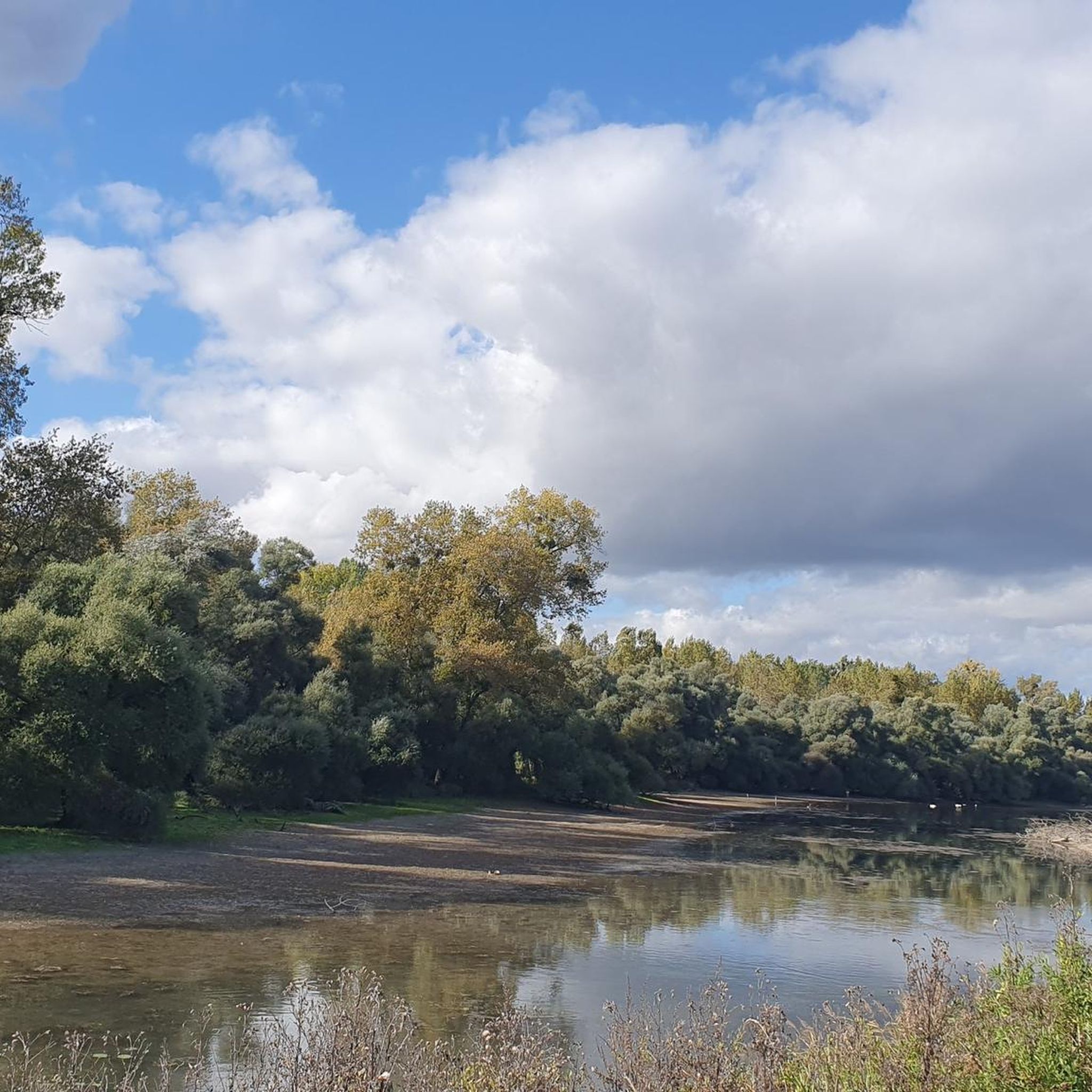
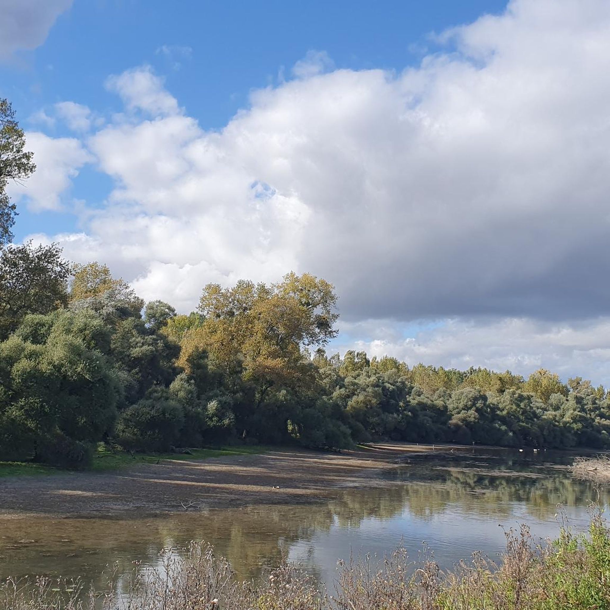
It is beautiful here. The path, which is marked as a ford, can be crossed on dry feet when the Rhine water level is "normal" and low. However, when the Rhine water level is high, it is under water, which can be clearly seen in the pictures.
3
0
Frequently Asked Questions
How many mountain bike trails are available in Auer Köpfle - Illinger Altrhein - Motherner Wörth?
There are over 200 mountain bike trails in the region, with 86 easy, 123 moderate, and 9 difficult routes, offering diverse options for all skill levels.
What kind of terrain can I expect on mountain bike trails in this region?
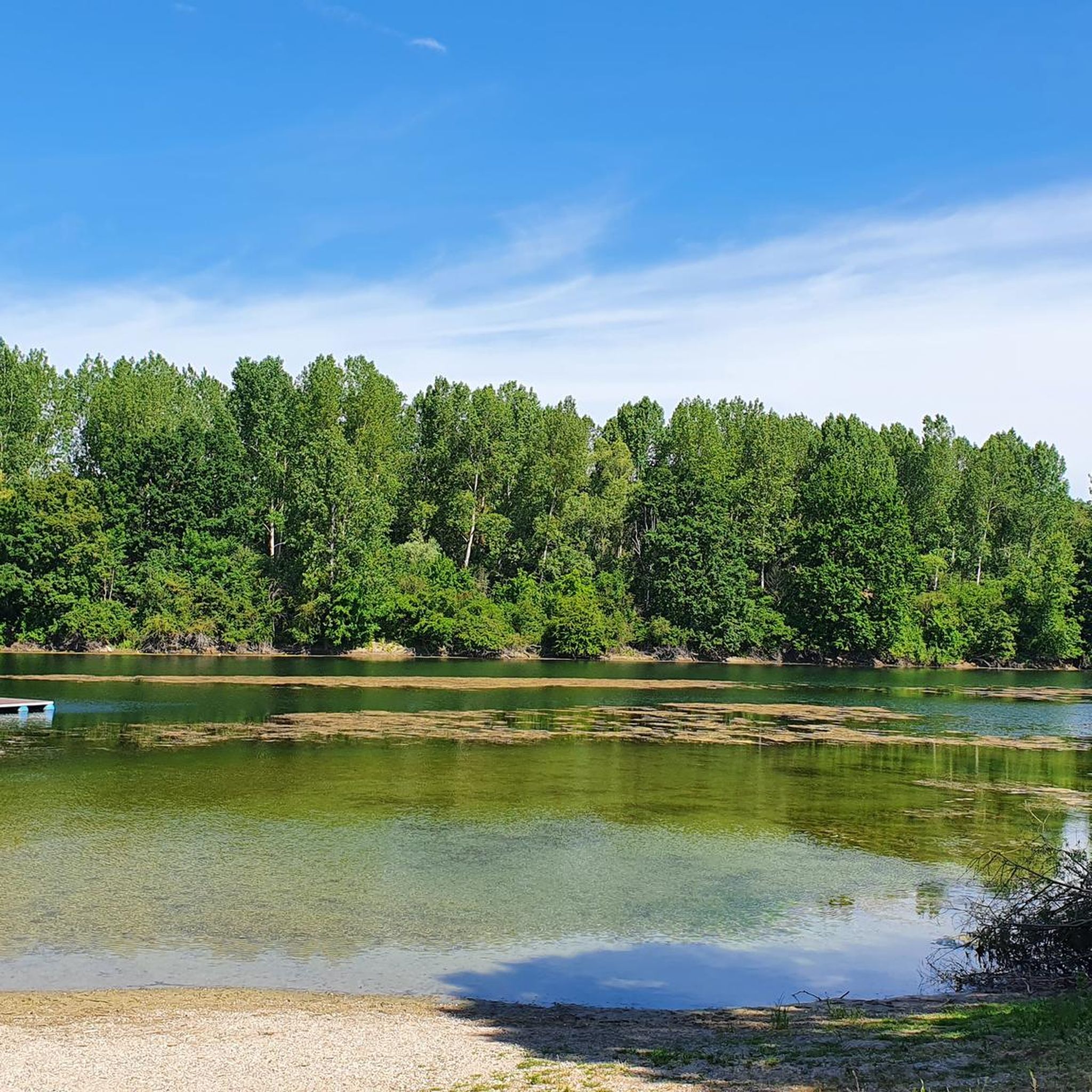
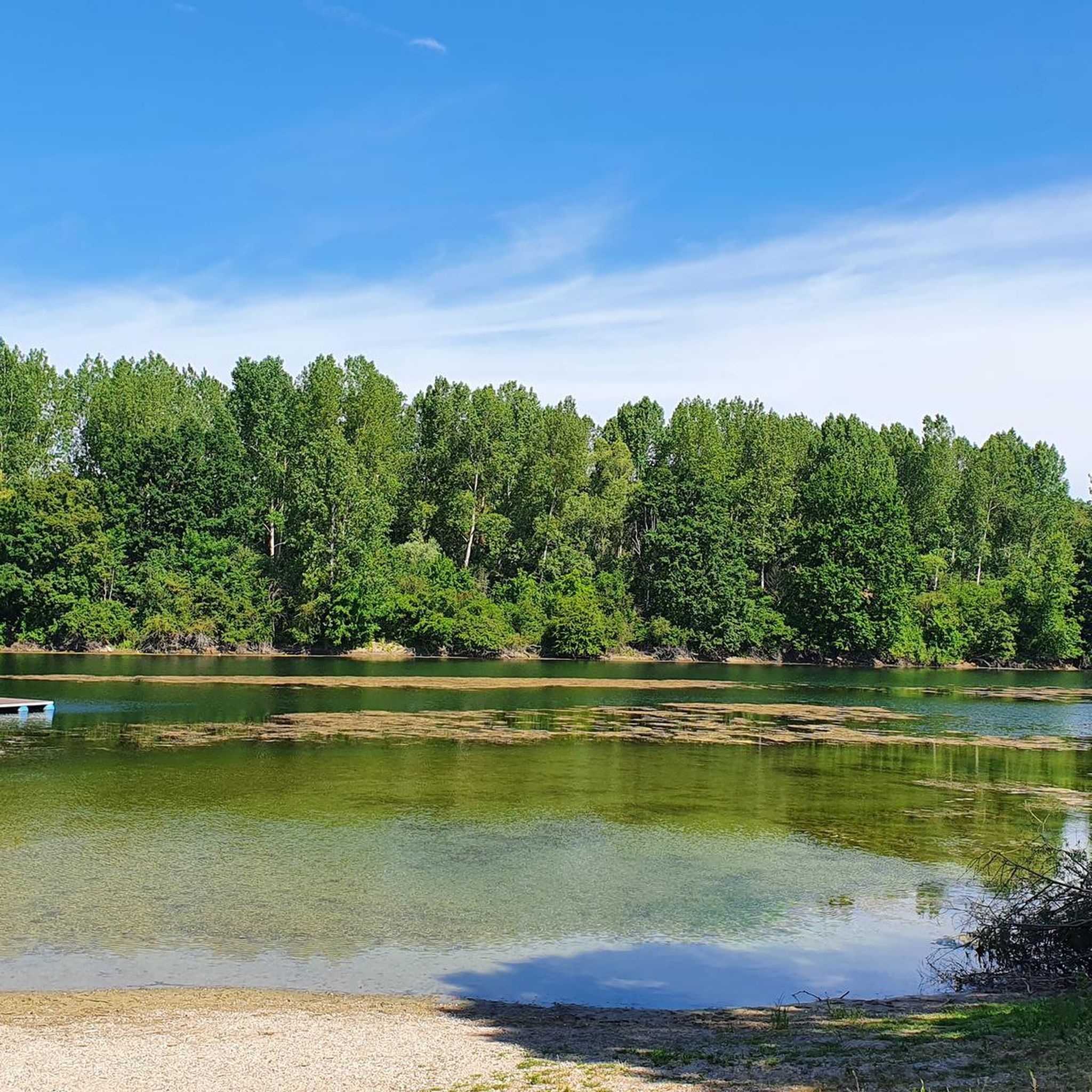
The terrain is characterized by the Rhine river plain, its old arms, and associated riparian forests. You'll find a mix of riverside paths, wooded sections, and open fields, with gentle elevations like the Auer Köpfle alongside flat, expansive areas.
Are there any family-friendly mountain bike routes in Auer Köpfle - Illinger Altrhein - Motherner Wörth?
Yes, the region offers many easy routes suitable for families. An example is the Fermasee Viewing Platform – View of the Alb River Side Arm loop from Elchesheim-Illingen, which is an easy 22.8 km path following the Alb River side arm.
Are dogs allowed on the mountain bike trails?
Generally, dogs are welcome on trails in the region, especially in natural areas. However, it's always best to keep them on a leash, especially near wildlife or other trail users, and to check specific local regulations for nature reserves.
What are some good options for beginner mountain bikers?
Beginners can enjoy many of the 86 easy routes available. A good starting point is the Sauer Delta Nature Reserve – Rhine Ferry Alsace loop from Lauterbourg, an easy 30.9 km route that offers pleasant riding through scenic landscapes.
Are there any challenging mountain bike trails for advanced riders?
Yes, for advanced riders seeking more challenge, there are 9 difficult routes in the region. These trails often feature more technical sections or significant climbs, providing a more demanding experience.
What are the best seasons for mountain biking in Auer Köpfle - Illinger Altrhein - Motherner Wörth?
Spring and autumn are generally ideal for mountain biking, offering pleasant temperatures and vibrant scenery. Summer can also be good, but it's advisable to ride earlier in the morning or later in the afternoon to avoid the midday heat.
What do other mountain bikers say about the trails here?
The trails in Auer Köpfle - Illinger Altrhein - Motherner Wörth are highly rated by the komoot community, with an average score of 4.6 stars from over 500 reviews. Riders often praise the varied riverine landscapes, well-maintained paths, and the peaceful atmosphere.
Are there any circular mountain bike routes available?
Many routes in the region are designed as loops, allowing you to start and end at the same point. For example, the Wirtshaus No Name – Naturfreundehaus Kandel loop from Lauterbourg is a moderate 60.8 km circular route.
What interesting sights or landmarks can I see along the mountain bike trails?
You can explore various natural and man-made attractions. Highlights include the Wooden Boats on the Illinger Altrhein, the scenic Fahner Lake, and the Illinger Quarry Lake and Gold Canal. The region's focus on riverine landscapes means many routes offer views of the Illinger Altrhein itself.
Where can I find parking for mountain biking in the area?
Parking is generally available at trailheads or near towns like Elchesheim-Illingen and Lauterbourg, which serve as common starting points for many routes. Specific parking information can often be found on individual route pages on komoot.
Can I reach the mountain bike trails using public transport?
While some areas might be accessible by public transport, it's often more convenient to reach trailheads by car, especially for routes starting in more rural sections of the region. Check local bus or train schedules for specific starting points.
Most popular routes in Auer Köpfle - Illinger Altrhein - Motherner Wörth
Most popular attractions in Auer Köpfle - Illinger Altrhein - Motherner Wörth

Get inspired with the komoot mobile app


Explore more
Browse the best MTB trails in other regions.
