The best MTB trails in Nsg Laubenheimer-Bodenheimer Ried
4.5
(1566)
6,355
riders
438
rides
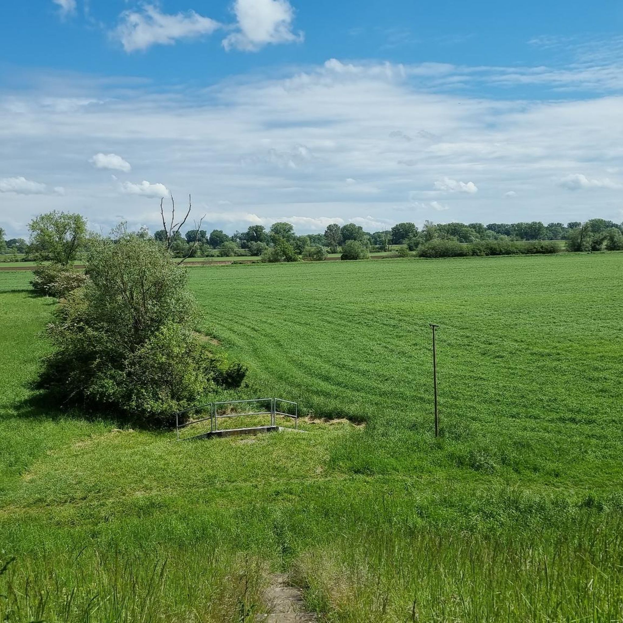
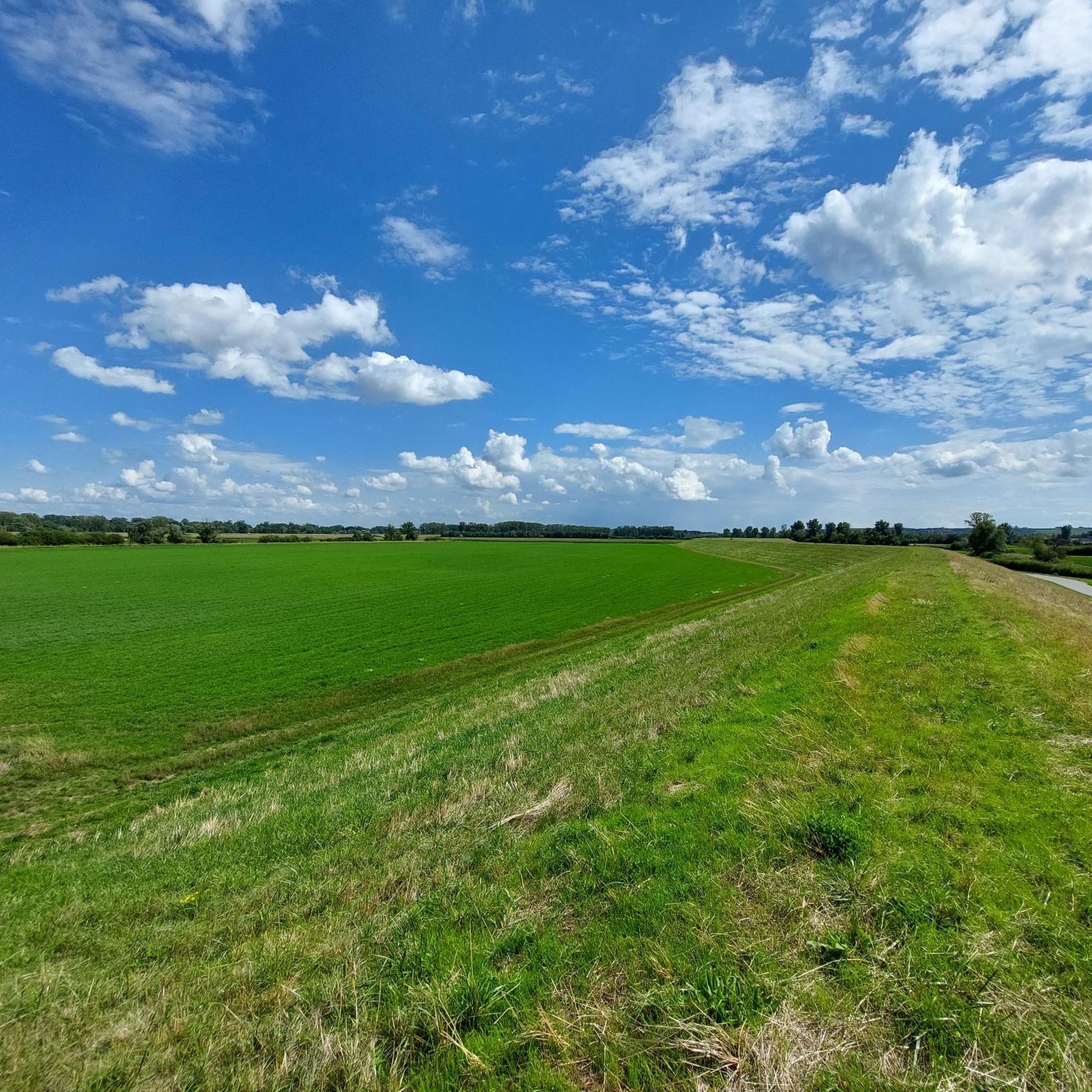
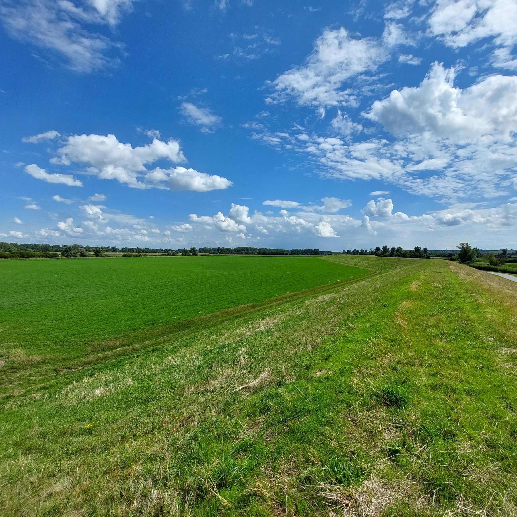
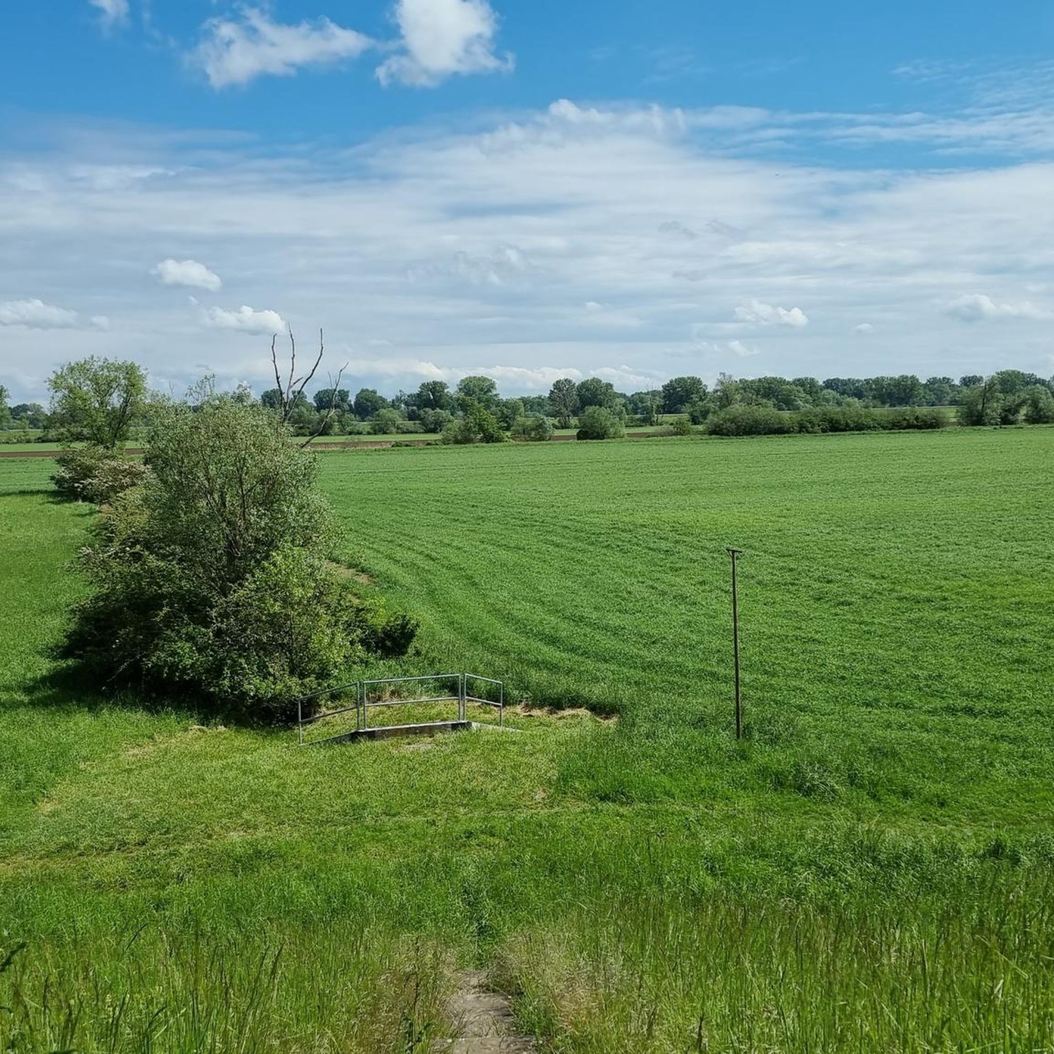
Mountain bike trails in Nsg Laubenheimer-Bodenheimer Ried traverse a largely flat landscape within the Upper Rhine lowlands. The region is characterized by floodplain habitats, extensive reed beds, and former clay pits, providing a unique natural setting. While generally flat, some routes, particularly those through vineyards, introduce varied terrain and gentle elevation changes. This area near Mainz provides a network of trails suitable for different skill levels.
Best mountain bike trails in Nsg Laubenheimer-Bodenheimer Ried
- The most popular mountain bike trail is View across the Rhine to Mainz – Mainspitze, Mainz-Kastel loop from Mainz-Laubenheim, a 31.0 miles (49.9 km) trail that takes 2 hours 46 minutes to complete, offering views across the Rhine.
- Another top favourite among local mountain bikers is Theodor Heuss Bridge – View across the Rhine to Mainz loop from Mainz-Laubenheim, an easy 10.9 miles (17.5 km) path. This route features minimal elevation gain and scenic views of the Rhine.
- Local mountain bikers also love the Glockenberghütte – Bodenheim Hoch Lookout Tower loop from Mainz-Laubenheim, a 25.2 miles (40.6 km) trail leading through varied terrain with some elevation changes, often completed in about 2 hours 52 minutes.
- Mountain biking in Nsg Laubenheimer-Bodenheimer Ried is defined by floodplain habitats, vineyards, and views of the Rhine. The network offers options for different ability levels, from easy loops to more challenging routes with some elevation.
- The routes in Nsg Laubenheimer-Bodenheimer Ried are highly rated by the komoot community with an average score of 4.5 stars from over 1200 reviews. More than 5900 mountain bikers have used komoot to explore Nsg Laubenheimer-Bodenheimer Ried's varied terrain.
Last updated: July 1, 2026
4.8
(35)
89
riders
49.8km
02:45
160m
160m
Moderate mountain bike ride. Good fitness required. Suitable for all skill levels.
4.2
(17)
50
riders
24.1km
01:22
50m
50m
Easy mountain bike ride. Great for any fitness level. Suitable for all skill levels.

Sign up for free
4.5
(4)
26
riders
Easy mountain bike ride. Great for any fitness level. Suitable for all skill levels.
5.0
(1)
10
riders
40.9km
02:54
450m
450m
Moderate mountain bike ride. Good fitness required. Advanced riding skills necessary.
4.4
(5)
20
riders
Easy mountain bike ride. Great for any fitness level. Suitable for all skill levels.
Get access to more routes and recommendations from other explorers.
Sign up for free
Already have an account?
Our route recommendations are based on thousands of hikes, rides, and runs completed by other people on komoot.
Start today with a free account
Your next adventure awaits.
Login or Signup
Tips from the Community

In this early Gothic church, whose origins date back to the 9th century, Johannes Gutenberg was probably baptized. In the former eastern part is an original baptismal font from the 15th century. Source: Information board at the location
0
0

Historical Age: The bridge was built around 1877 (twelve years after the harbor opened) and is today considered one of the oldest still preserved swing bridges in all of Germany. For this reason, the steel truss construction is an important cultural monument under strict heritage protection. Technical Dimensions & Function: The structure has a length of 37.50 meters, a width of 4.50 meters, and weighs around 54 tons. The original mechanical rotation mechanism ensured for decades that the bridge could be swung to the side at any water level to allow larger ships to pass into the harbor basin. Modernization: After the historical rotation mechanism was irreparably damaged and jammed in 1996, the bridge was fundamentally reconstructed in 2009. The historical appearance of the top chords was preserved, while the outdated mechanics were replaced by a state-of-the-art hydraulic rotation system. Location & Significance: It connects the Stresemann-Ufer (Old Town side near the Hyatt Hotel) directly with the Victor-Hugo-Ufer on the upstream mole. Today, it serves exclusively as an important, highly frequented connection for pedestrians and cyclists and is an integral part of recreational routes such as the popular Mainzer Drei-Brücken-Weg.
7
0
With a total length of around 1,233 kilometers, the Rhine is one of the longest, most historically significant, and economically important rivers in Europe. The river originates in the Swiss Alps, where it is formed from the two headwaters, the Vorder- and Hinterrhein. After flowing through Lake Constance, it plunges down at the Rhine Falls near Schaffhausen and then, as the High Rhine, forms the border between Switzerland and Germany. Further on, as the Upper Rhine, it flows through the Upper Rhine Plain past major cities such as Karlsruhe and Ludwigshafen, as well as directly past the region of Mainz and Wiesbaden. In this area, the river makes a sharp turn west at the so-called "Rhine Knee" (Rheinknie) before reaching the spectacular Middle Rhine. This section between Bingen and Koblenz – known as the Upper Middle Rhine Valley (Obere Mittelrheintal) – has been protected as a UNESCO World Heritage site since 2002 due to its density of castles, historic vineyards, and the legend of the Loreley rock. Via the Lower Rhine (Niederrhein) and the metropolitan regions of Cologne and Düsseldorf, the Rhine finally continues into the Netherlands. There it divides into a widely branched delta and finally flows into the North Sea near Rotterdam. As an international waterway, the Rhine is the logistical backbone of Western Europe. It connects major industrial centers and seaports directly with the hinterland, and is used annually by tens of thousands of cargo ships for the transport of coal, ores, containers, and chemical goods. In addition to its industrial function, the Rhine Valley serves as a lifeline for tourism, as a rich source of energy through hydropower plants, and as a valuable natural and recreational area for millions of people.
8
0
Today's Theodor Heuss Bridge connects the Rhineland-Palatinate state capital Mainz with the Mainz-Kastel district of the Hessian state capital Wiesbaden across the Rhine.
19
0
From the railway bridge you have a magnificent view of the entire region, especially Mainz and the Taunus
11
0
Beautiful, old, historic building, formerly used as barracks
11
0

The castle and the view of the river are beautiful, and the adjacent castle park is wild and romantic.
15
0
Frequently Asked Questions
What is the general terrain like for mountain biking in Nsg Laubenheimer-Bodenheimer Ried?
The Nsg Laubenheimer-Bodenheimer Ried region features a largely flat landscape within the Upper Rhine lowlands. However, routes can vary, with some traversing floodplain habitats and extensive reed beds, while others, particularly those through vineyards, introduce varied terrain and gentle elevation changes. This diversity allows for options ranging from easy loops to more challenging routes.
Are there mountain bike trails suitable for beginners in Nsg Laubenheimer-Bodenheimer Ried?
Yes, there are numerous easy mountain bike trails. For example, the Theodor Heuss Bridge – View across the Rhine to Mainz loop from Mainz-Laubenheim is an easy 17.5 km path with minimal elevation gain, offering scenic views of the Rhine. Another easy option is the Mainz South Bridge (Südbrücke) – View of the Railway Bridge loop from Mainz-Laubenheim, which covers 13 km.
What kind of natural features and wildlife can I expect to see while mountain biking?
The region is known for its diverse natural features, including floodplain habitats, extensive reed beds, and numerous ponds from former clay pits. It's a haven for wildlife, especially birdlife, with species like the Little Bittern, various Warblers, and the largest White Stork colony in Rheinland-Pfalz. Informative photo panels along paths, particularly from Laubenheim, help visitors learn about the local flora and fauna.
Are there any viewpoints or landmarks along the mountain bike routes?
Yes, the region offers several points of interest. The Nierstein Watchtower provides panoramic views, especially on routes through vineyards. You can also find highlights like the Nackenheim–Laubenheim Cycle Path, the Woodland Path Between the Lakes in Laubenheimer-Bodenheimer Ried, and the Former Boundary Stone of Laubenheim.
Are there circular mountain bike routes available?
Many of the mountain bike routes in Nsg Laubenheimer-Bodenheimer Ried are designed as loops. For instance, the View across the Rhine to Mainz – Mainspitze, Mainz-Kastel loop from Mainz-Laubenheim is a 49.9 km circular route. Another popular loop is the Glockenberghütte – Bodenheim Hoch Lookout Tower loop from Mainz-Laubenheim, covering 40.5 km.
What is the best time of year to go mountain biking in Nsg Laubenheimer-Bodenheimer Ried?
The largely flat terrain makes mountain biking enjoyable for much of the year. Spring and autumn offer pleasant temperatures and vibrant scenery, with fewer crowds. Summer is also suitable, though it can be warmer. The region's natural features, like reed beds and wetlands, provide interesting views across seasons.
Are there family-friendly mountain bike trails in the area?
Yes, the largely flat landscape and numerous easy routes make the area suitable for families. Trails with minimal elevation gain, such as the 17.5 km Theodor Heuss Bridge – View across the Rhine to Mainz loop from Mainz-Laubenheim, are ideal for family outings. The scenic views and diverse natural features also add to the family experience.
Can I bring my dog on the mountain bike trails?
While the region is generally welcoming to outdoor activities, it is a nature reserve. It's advisable to keep dogs on a leash to protect the abundant wildlife, especially ground-nesting birds and other sensitive species in the reed beds and wetlands. Always respect local signage regarding pets.
Where can I find parking for mountain biking in Nsg Laubenheimer-Bodenheimer Ried?
Many routes start from Mainz-Laubenheim, which typically offers parking options. Given the area's popularity for cycling, you can often find designated parking areas near trailheads or access points to the nature reserve. It's recommended to check specific route details on komoot for parking suggestions at the start of your chosen tour.
Are there cafes or restaurants accessible from the mountain bike trails?
Yes, the region is close to towns like Mainz-Laubenheim, Bodenheim, and Nierstein, which offer various cafes, pubs, and restaurants. The Flörsheimer Warte – Wiesenmühle Inn loop from Mainz-Laubenheim, for example, suggests an inn along its route. Many routes pass through or near these communities, providing opportunities for refreshments.
How many mountain bike trails are there in Nsg Laubenheimer-Bodenheimer Ried?
There are over 440 mountain bike trails available in Nsg Laubenheimer-Bodenheimer Ried, catering to various skill levels. This includes approximately 120 easy routes, nearly 300 moderate routes, and over 20 more challenging options.
What do other mountain bikers enjoy most about mountain biking in Nsg Laubenheimer-Bodenheimer Ried?
The area is highly rated by the komoot community, with an average score of 4.5 stars from over 1200 reviews. Mountain bikers often praise the diverse natural setting, including floodplain habitats and vineyards, as well as the scenic views of the Rhine. The well-established network of trails suitable for different ability levels is also frequently highlighted.
Most popular routes in Nsg Laubenheimer-Bodenheimer Ried
Most popular attractions in Nsg Laubenheimer-Bodenheimer Ried

Get inspired with the komoot mobile app


Explore more
Browse the best MTB trails in other regions.
