The best MTB trails in Untere Nahe
4.6
(408)
1,148
riders
52
rides
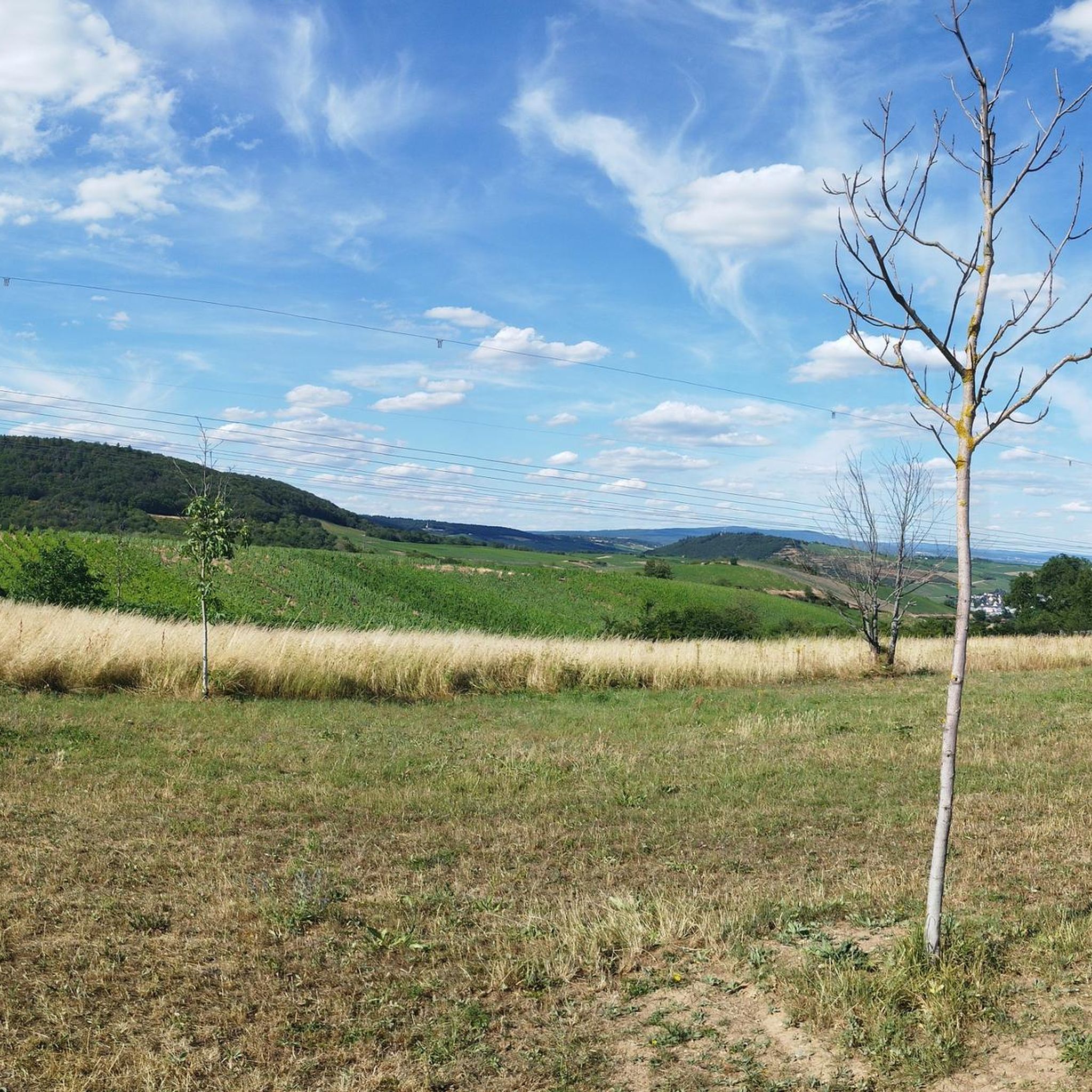
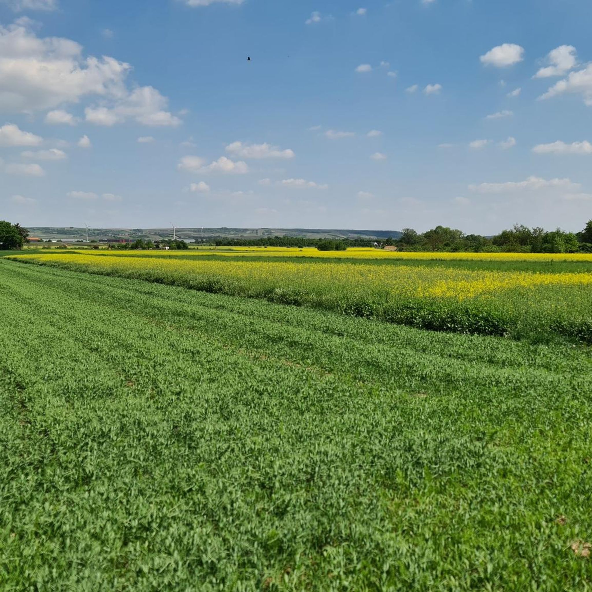
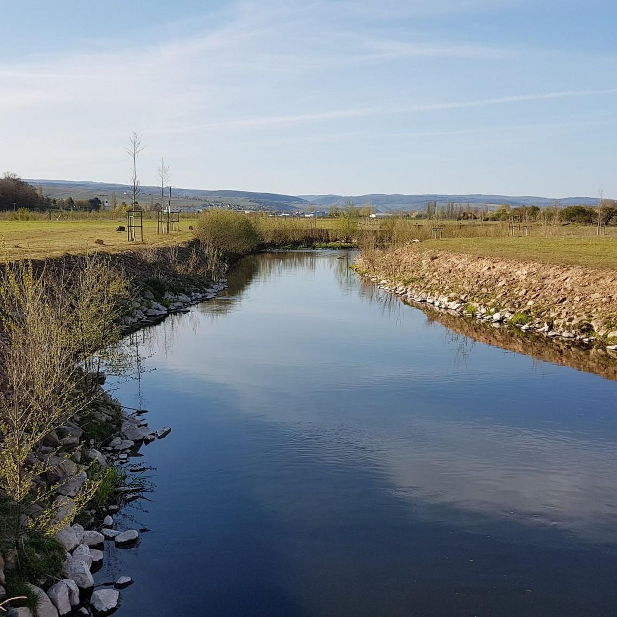
Mountain biking in Untere Nahe offers diverse terrain across the west of Rhineland-Palatinate, Germany. The region features a mix of demanding hilly sections, shaded forests, and striking rock formations like the Rotenfels massif and Gans rock. The Nahe Valley provides varied landscapes, from fertile vineyards to rugged natural reserves, creating a compelling environment for mountain bikers. Dedicated trails cater to different skill levels, leveraging the area's natural features.
Best mountain bike trails in Untere Nahe
- The most popular mountain bike…
Last updated: October 4, 2026
4.8
(123)
388
riders
Moderate mountain bike ride. Good fitness required. Advanced riding skills necessary.
4.9
(66)
144
riders
31.8km
02:50
620m
620m
Moderate mountain bike ride. Good fitness required. Advanced riding skills necessary.

4.9
(47)
94
riders
39.6km
03:40
920m
920m
Hard mountain bike ride. Very good fitness required. Advanced riding skills necessary.
4.3
(10)
63
riders
Easy mountain bike ride. Great for any fitness level. Suitable for all skill levels.
5.0
(2)
7
riders
40.5km
03:33
900m
900m
Hard mountain bike ride. Very good fitness required. Advanced riding skills necessary.
Get access to more routes and recommendations from other explorers.
Already have an account?
Our route recommendations are based on thousands of hikes, rides, and runs completed by other people on komoot.
Start today with a free account
Your next adventure awaits.
Tips from the Community

From the village center in Weiler, continuing the Heilig Kreuz-Weg, a Stations of the Cross with Stations of the Cross leads north into the Binger Wald. It ends at the "Gedenkstätte Belle Kreuz" in the middle of the forest. The site is equipped with an open-air altar and a 10-meter-high wooden cross. The altar area serves as a memorial for the victims of the Second World War. The first Holy Mass took place here in 1955. As early as 1949, the community was founded to establish a Stations of the Cross. In 1951/52, the Stations of the Cross, made of Mayen basalt, could be erected. The Mainz sculptor Adam Winter created the relief panels for the niches of the stations. Since 1961, the remaining work has been completed.
1
0

Rhein in Flammen - a true highlight
2
0


Good opportunity to change sides
1
0

Absolutely a professional trail. Beginners should not start here.
0
0

Absolute recommendation!
3
0

A great location right on the banks of the Rhine in Rüdesheim. Here you'll find delicious regional wines, non-alcoholic drinks, and small snacks. It's a lovely place to chill in the afternoon or into the evening.
1
0
Frequently Asked Questions
How many mountain bike trails are there in Untere Nahe?
The Untere Nahe region offers a wide variety of mountain bike trails, with over 50 routes available. These include 12 easy, 36 moderate, and 5 difficult trails, catering to different skill levels.
What kind of terrain can I expect on mountain bike trails in Untere Nahe?
You can expect a diverse range of terrain, from demanding hilly sections and rugged rock formations like the Rotenfels massif, to shaded forests and picturesque vineyards. The Nahe Valley itself provides varied landscapes, with some sections offering technically demanding rides, often rated STS S2, requiring advanced skills.
What are the difficulty levels of mountain bike trails in Untere Nahe?
The trails in Untere Nahe range from easy to difficult. There are 12 easy routes, 36 moderate routes, and 5 difficult routes. Some sections, particularly around areas like Rheingrafenstein, Gans, and Altenbaumburg, can be quite steep and technically demanding, often rated STS S2, meaning advanced riding skills are required.
Are there any dedicated enduro trails in the Untere Nahe region?
Yes, the region features official enduro trails such as the "Haardt Lines" and "Dachskopf" trails. These are accessible from parking areas near Rüdesheim/Nahe and Traisen, offering a more specialized mountain biking experience.
What interesting sights can I see along the mountain bike trails in Untere Nahe?
Many trails pass by notable landmarks and natural features. You can encounter the historic Stone Arch Bridge in Bretzenheim, the Historic Water Tower, and the Villa Plettenberg-Puricelli with Clock Tower. The Nahe Cycle Path also runs alongside the river, offering views of diverse flora and fauna. Routes like the Bridge Houses in Bad Kreuznach – Schmittenstollen Visitor Mine loop connect cultural landmarks such as the Bridge Houses in Bad Kreuznach and the Schmittenstollen Visitor Mine.
Are there any family-friendly mountain bike trails in Untere Nahe?
While many trails require good fitness and advanced skills, there are 12 easy routes available that could be suitable for families. For example, the Old Watermill – View of the River Nahe loop from Münster-Sarmsheim is an easy option with minimal elevation gain, offering a more relaxed ride.
What do other mountain bikers enjoy about the trails in Untere Nahe?
The mountain bike trails in Untere Nahe are highly rated by the komoot community, with an average score of 4.5 stars from over 300 reviews. Riders often praise the varied landscapes, from challenging hilly sections to scenic vineyards and forests, and the integration of natural and cultural attractions along the routes.
Are permits required for mountain biking in Untere Nahe?
Generally, no specific permits are required for mountain biking on designated trails in the Untere Nahe region. However, it's always advisable to respect local regulations, especially in nature reserves or shared-use paths, and to stay on marked trails.
Where can I park when mountain biking in Untere Nahe?
Parking is often available near trailheads and popular starting points. For instance, the official enduro trails like "Haardt Lines" and "Dachskopf" are accessible from parking areas near Rüdesheim/Nahe and Traisen. The Kuhberg recreation area is also a recommended starting point for trails near Rheingrafenstein, Gans, and Altenbaumburg, likely offering parking facilities.
What are the rules for mountain biking in the forests of Untere Nahe?
When mountain biking in the forests of Untere Nahe, it's important to adhere to general rules of conduct. This includes staying on marked trails, respecting nature and wildlife, and being considerate of other forest users, such as hikers. Some trails are specifically designed for mountain bikers, while others are shared, emphasizing mutual respect.
What is the best time of year to mountain bike in Untere Nahe?
The region offers good conditions for mountain biking during spring, summer, and autumn. The diverse topography, including forests and vineyards, provides pleasant riding experiences. While winter riding is possible, conditions can be more challenging due to weather. Checking local weather forecasts and trail conditions before heading out is always recommended.
Are there any loop mountain bike trails in Untere Nahe?
Yes, many mountain bike trails in Untere Nahe are designed as loops, offering convenient starting and ending points. Examples include the View of Schierstein Harbor – Hindenburg Bridge Ruins loop from Münster-Sarmsheim, the Bridge Houses in Bad Kreuznach – Schmittenstollen Visitor Mine loop from Bretzenheim (Nahe), and the Morgenbach Valley Trail – Rheinstein Castle loop from Laubenheim (Nahe).
Most popular routes in Untere Nahe
Most popular attractions in Untere Nahe

Get inspired with the komoot mobile app


Explore more
Browse the best MTB trails in other regions.
