The best road cycling routes in Wasenbacher Höhe
4.5
(189)
2,258
riders
97
rides
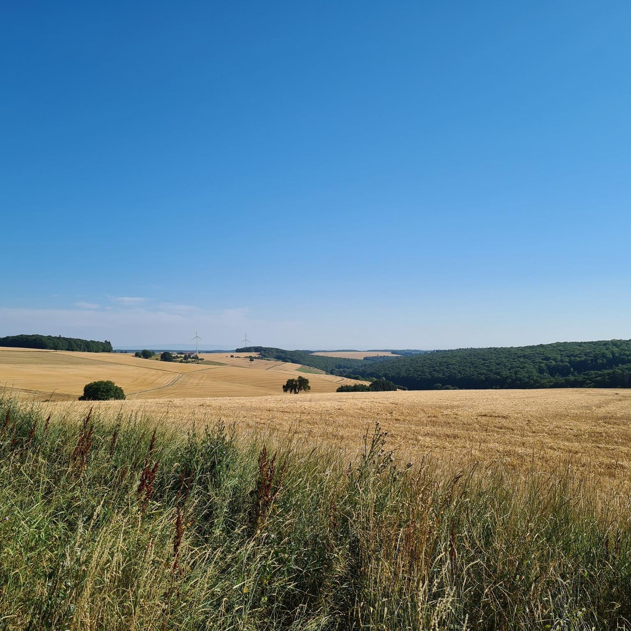
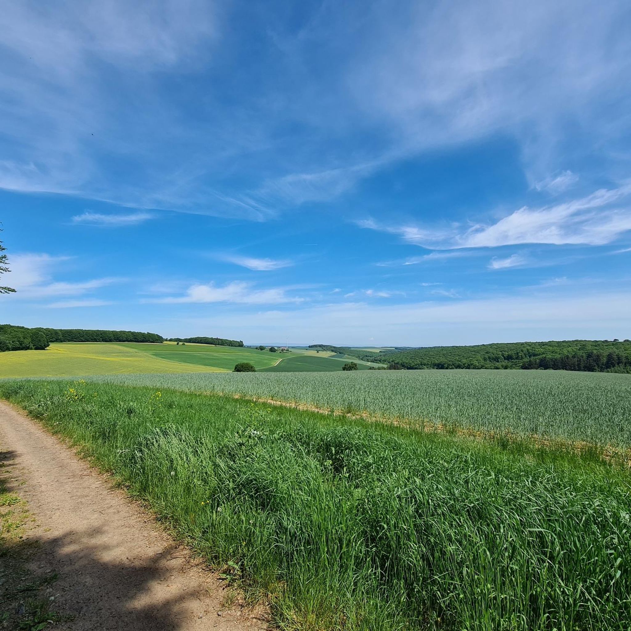
Road cycling routes in Wasenbacher Höhe traverse a landscape characterized by rolling hills and agricultural plains within the Donnersbergkreis region. The area features a mix of open roads and sections passing through forested areas and valleys. Elevations are generally moderate, with some routes offering sustained climbs and descents. The terrain provides varied conditions for road cyclists.
Best road cycling routes in Wasenbacher Höhe
- The most popular road cycling route is Wayside Cross in Kriegsfeld (1776) loop from Kriegsfeld, a…
Last updated: October 7, 2026
4.0
(2)
7
riders
Easy road ride. Great for any fitness level. Mostly well-paved surfaces and easy to ride.
2
riders
78.0km
03:33
850m
850m
Moderate road ride. Good fitness required. Mostly well-paved surfaces and easy to ride.

15
riders
Moderate road ride. Good fitness required. Mostly well-paved surfaces and easy to ride.
15
riders
73.4km
03:22
790m
790m
Moderate road ride. Good fitness required. Some segments of this route may be unpaved and difficult to ride.
8
riders
69.3km
03:19
870m
870m
Moderate road ride. Good fitness required. Mostly well-paved surfaces and easy to ride.
Get access to more routes and recommendations from other explorers.
Already have an account?
Our route recommendations are based on thousands of hikes, rides, and runs completed by other people on komoot.
Start today with a free account
Your next adventure awaits.
Tips from the Community

In 1495, Emperor Maximilian I even stayed at the castle during a hunting trip after the Imperial Diet of the same year. Today, the Da-Capo-Festival, an open-air concert in the castle courtyard, annually brings the historic walls to life on the second-to-last weekend of the summer holidays.
0
0

When the water level is low, you can cross the stream on foot. If you prefer to keep your feet dry, use the pedestrian bridge right next door. You will also find a Kneipp arm basin right at the ford for a short and pleasant cooling down.
1
0

It is a shame that this spring has also been channeled by humans. The area looks a bit neglected. The arm Kneipp basin is also dry and cannot be filled even with a pump.
0
0

Impressive rocks between Mörsfeld and Wendelsheim.
0
0

Ideal for a photo
0
1

Interesting part and quite old
0
0

This beautiful cultural monument stands at the entrance to Kriegsfeld coming from the direction of Niederwiesen.
0
0

Interesting how the battlements are supported by the double arches.
2
0
Frequently Asked Questions
What is the general difficulty level of road cycling routes in Wasenbacher Höhe?
Road cycling in Wasenbacher Höhe offers a range of difficulties. The terrain is characterized by rolling hills and agricultural plains, with moderate elevations. You'll find routes suitable for various skill levels, from easy, gentle gradients to more challenging paths with sustained climbs and descents. Overall, there are 18 easy, 69 moderate, and 12 difficult routes available.
Are there easy road cycling routes suitable for beginners in Wasenbacher Höhe?
Yes, Wasenbacher Höhe has several easy road cycling routes perfect for beginners or those looking for a relaxed ride. An excellent option is the Wayside Cross in Kriegsfeld (1776) loop from Kriegsfeld, which is 13.1 miles (21.1 km) long and features gentle gradients through rural landscapes.
Where can I find more challenging road cycling routes in Wasenbacher Höhe?
For more challenging road cycling, look for routes that traverse the more undulating parts of the Donnersbergkreis region. These routes often feature sustained climbs and descents. While specific challenging routes aren't highlighted here, komoot offers 12 difficult routes in the area, which typically involve greater elevation gains and longer distances.
What are the typical distances for road cycling routes in Wasenbacher Höhe?
The distances for road cycling routes in Wasenbacher Höhe vary significantly. You can find shorter loops, such as the Wayside Cross in Kriegsfeld (1776) loop from Kriegsfeld at 13.1 miles (21.1 km), to much longer tours like the Pfrimm Valley Viaduct – Albisheim Cycle Path loop from Kriegsfeld, which covers 48.3 miles (77.8 km). Many routes fall into the moderate range, offering distances between 30-50 miles.
Are there many circular road cycling routes in Wasenbacher Höhe?
Yes, many of the road cycling routes in Wasenbacher Höhe are designed as loops, allowing you to start and finish at the same point. Examples include the popular Zellertal Memorial – Weinrast Mölsheim Viewpoint loop from Donnersbergkreis and the Zellertal Memorial loop from Donnersbergkreis. These circular routes are convenient for exploration without needing return transport.
Which road cycling routes offer the most scenic views in Wasenbacher Höhe?
Wasenbacher Höhe offers scenic views across its rolling hills, agricultural plains, and through forested areas and valleys. Routes like the Zellertal Memorial – Weinrast Mölsheim Viewpoint loop from Donnersbergkreis are known for leading through vineyards and offering expansive vistas. The region's varied landscape ensures picturesque scenery on many rides.
What is the best time of year for road cycling in Wasenbacher Höhe?
The best time for road cycling in Wasenbacher Höhe is typically from spring through autumn (April to October). During these months, the weather is generally mild, and the landscape is vibrant. Summer offers longer daylight hours, while spring and autumn provide pleasant temperatures and beautiful seasonal colors, especially through the vineyards and forested sections.
Are there places to stop for refreshments along the road cycling routes?
Given the region's agricultural and wine-growing character, you'll find opportunities for refreshments. Routes passing through villages or near vineyards, such as the Zellertal Memorial – Weinrast Mölsheim Viewpoint loop from Donnersbergkreis, often have small cafes, restaurants, or 'Straußwirtschaften' (seasonal wine taverns) where you can stop for a break and local specialties.
What can I see along the road cycling routes in Wasenbacher Höhe?
Road cycling routes in Wasenbacher Höhe often pass by historical and natural points of interest. You might encounter landmarks like the Wayside Cross in Kriegsfeld (1776), impressive structures such as the Pfrimm Valley Viaduct, or memorial sites like the Zellertal Memorial. The routes also offer views of vineyards, agricultural fields, and charming villages.
What do other road cyclists enjoy the most about road cycling in Wasenbacher Höhe?
The komoot community highly rates road cycling in Wasenbacher Höhe, with an average score of 4.6 stars from over 160 reviews. Cyclists often praise the varied terrain, which offers a good mix of rolling hills and flat sections, the scenic agricultural landscapes, and the well-maintained roads. The options for different ability levels are also frequently appreciated.
Where can I find parking for road cycling in Wasenbacher Höhe?
Many road cycling routes in Wasenbacher Höhe start from towns or villages like Kriegsfeld or within the Donnersbergkreis region. These starting points typically offer public parking facilities. For instance, if you plan to ride the Alzey Castle – Bastenhaus Hotel & Restaurant loop from Donnersbergkreis, you would look for parking in or around Donnersbergkreis.
Most popular routes in Wasenbacher Höhe

Get inspired with the komoot mobile app


Explore more
Browse the best Road cycling routes in other regions.
