The best walks and hikes in Wasenbacher Höhe
4.6
(7477)
25,155
hikers
563
hikes
Hiking in Wasenbacher Höhe, a nature reserve in Rheinland-Pfalz, Germany, offers extensive opportunities to explore protected natural landscapes. The region is characterized by near-natural deciduous forests and a rich biodiversity, safeguarding vital habitats for local flora and fauna. Located near Kriegsfeld in the Donnersbergkreis, Wasenbacher Höhe provides a carefully managed natural environment for outdoor activities.
Best hiking trails in Wasenbacher Höhe
- The most popular hiking route is Bench With a View of Gerbacht – Würzweiler loop from Wasenbacher Höhe,…
Last updated: October 4, 2026
4.8
(9)
28
hikers
24.3km
06:53
540m
540m
Hard hike. Very good fitness required. Easily-accessible paths. Suitable for all skill levels.
5.0
(2)
9
hikers
10.7km
02:59
200m
200m
Moderate hike. Good fitness required. Easily-accessible paths. Suitable for all skill levels.

4.9
(12)
47
hikers
Easy hike. Great for any fitness level. Easily-accessible paths. Suitable for all skill levels.
4.5
(22)
78
hikers
8.66km
02:21
130m
130m
Moderate hike. Good fitness required. Easily-accessible paths. Suitable for all skill levels.
5.0
(17)
46
hikers
4.43km
01:09
30m
30m
Easy hike. Great for any fitness level. Easily-accessible paths. Suitable for all skill levels.
Get access to more routes and recommendations from other explorers.
Already have an account?
Our route recommendations are based on thousands of hikes, rides, and runs completed by other people on komoot.
Start today with a free account
Your next adventure awaits.
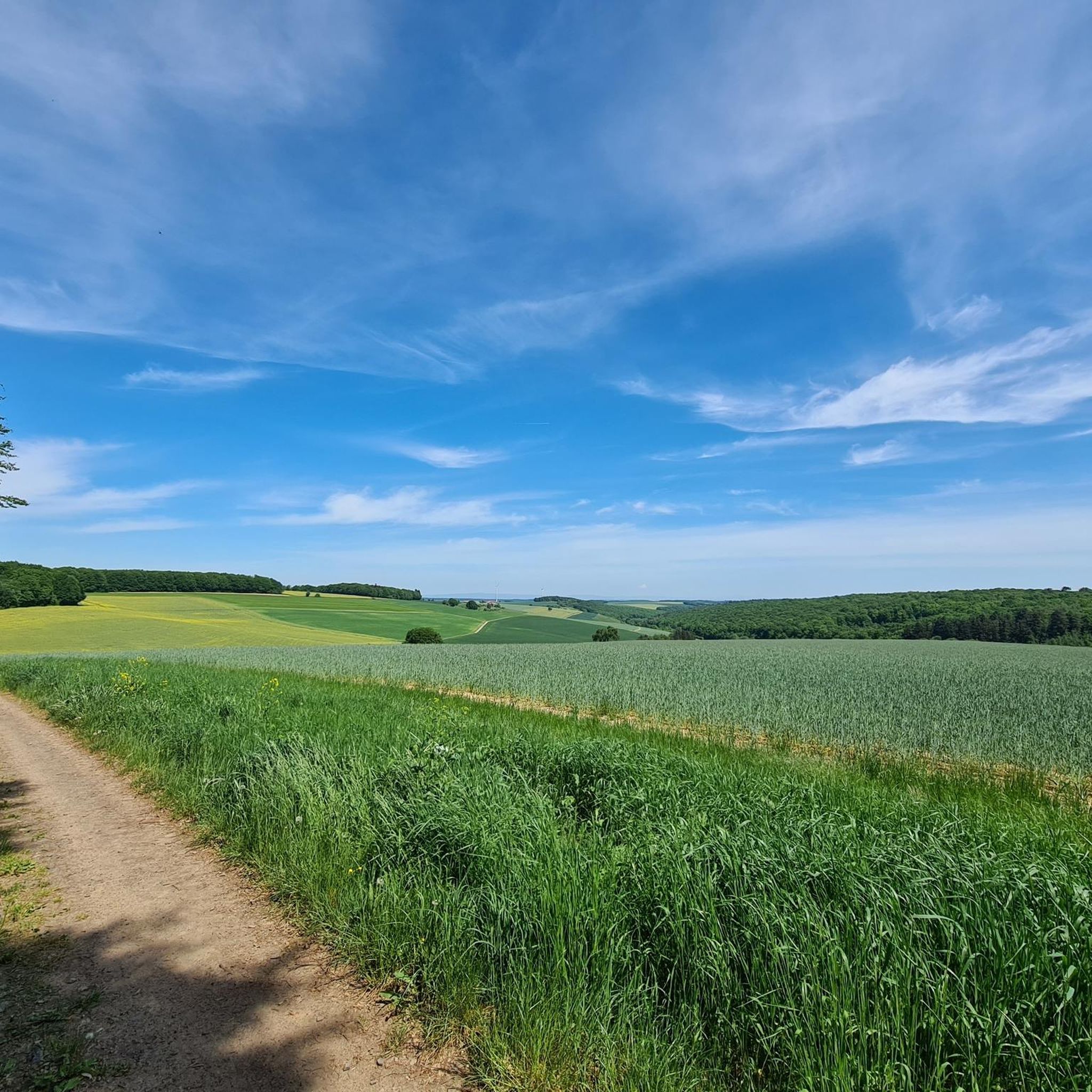
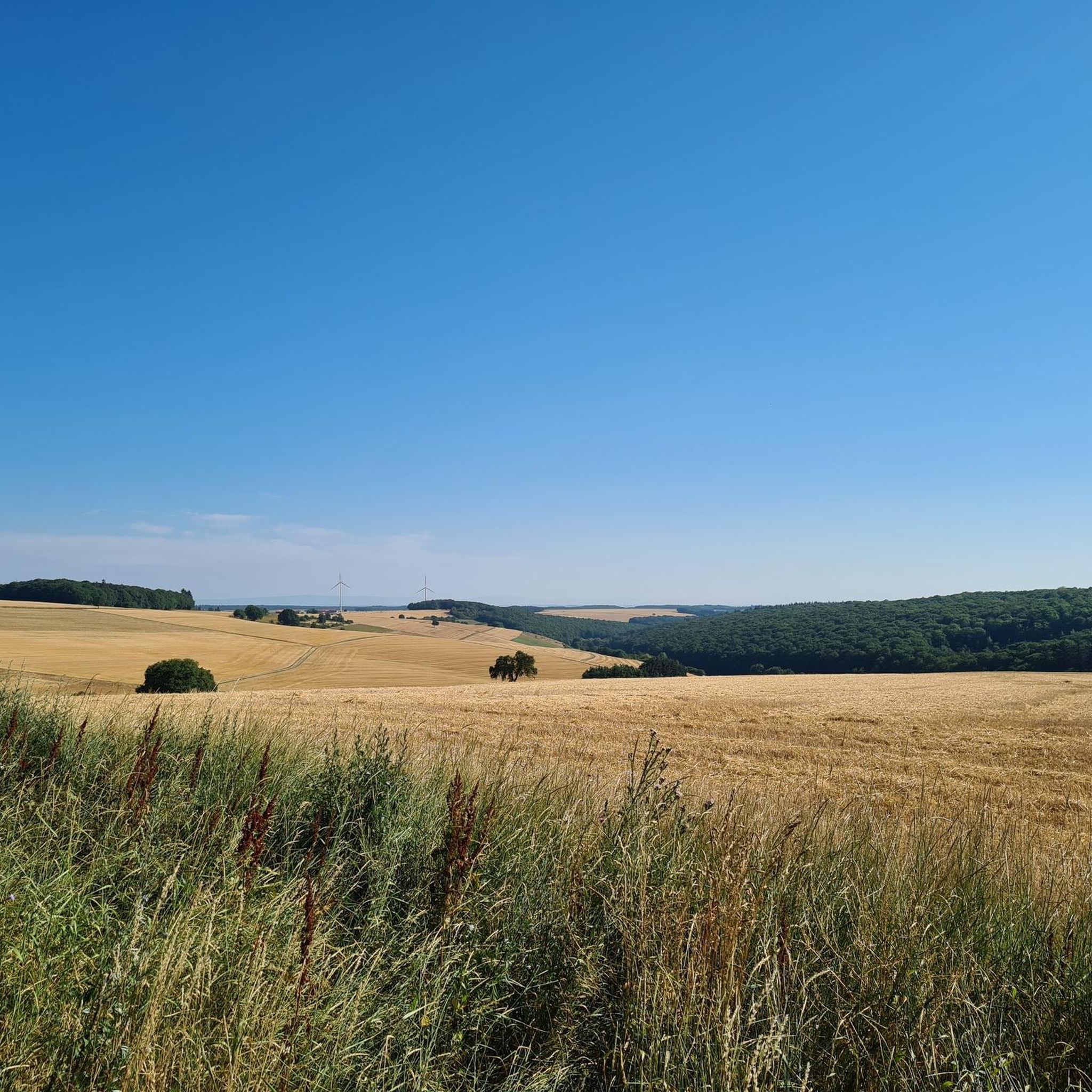
Tips from the Community

This forest section near Offenheim is located in the middle of the Rheinhessische Schweiz nature reserve. On hot summer days, this protected forest section keeps the cool air very well.
0
0

The path was an old border path between the Grand Duchy of Hesse, to which after 1816 also belonged Rhenish Hesse, the 'Left Rhine', and the Kingdom of Bavaria, to which the Palatinate was assigned at the Congress of Vienna.
1
0

This old quarry is located directly on the Hiwweltour
1
0
First documented mention of the Schniftenbergerhof in 1182. The year of construction of the mill is unknown. The mill is already mentioned in documents in the 13th century. Parts of the north and west walls date from the Renaissance, as indicated by the surrounds. The house and cellar were probably built around 1580. It is the oldest mill in the Nordpfalz region in terms of its existing structure.
2
0

Very nice corner for biking
0
0
Very nice view from here
0
0

Very beautiful path, well signposted, lives up to its name
0
0

Beautiful view as far as the Hunsrück. Unfortunately, the parking lot will only be accessible to motorhomes in the future. But that doesn't really matter to hikers or cyclists :-) In any case, a great view.
1
0
Frequently Asked Questions
How many hiking trails are available in Wasenbacher Höhe?
Wasenbacher Höhe offers an extensive network of over 500 hiking trails, catering to various fitness levels from easy walks to more challenging expeditions. This includes 324 easy routes, 217 moderate routes, and 22 difficult routes.
What kind of natural features can I expect to see while hiking in Wasenbacher Höhe?
The region is characterized by its near-natural deciduous forests, known as 'naturnahe Laubwälder,' which are central to the reserve's purpose. You'll experience a rich biodiversity, as the area serves as a vital habitat for typical, rare, and endangered wild plant and animal species.
Are there any family-friendly hiking options in Wasenbacher Höhe?
Yes, Wasenbacher Höhe has numerous options suitable for families. With over 320 easy routes, you can find paths that are less strenuous and shorter, perfect for a family outing. Many trails lead through the serene forested environment, offering a pleasant experience for all ages.
Can I bring my dog on the hiking trails in Wasenbacher Höhe?
Wasenbacher Höhe is generally welcoming to hikers with dogs. As a nature reserve, it's important to keep your dog on a leash to protect the local wildlife and ensure a pleasant experience for all visitors. Always check local signage for any specific restrictions on certain trails.
What is the best time of year to hike in Wasenbacher Höhe?
The near-natural deciduous forests of Wasenbacher Höhe offer a beautiful experience throughout the year. Spring brings lush greenery and blooming flora, while autumn transforms the landscape with vibrant fall colors. Summer provides pleasant shaded walks, and even winter can be picturesque, though conditions may vary.
Are there any circular hiking routes in Wasenbacher Höhe?
Yes, many of the trails in Wasenbacher Höhe are designed as circular routes, allowing you to start and end at the same point. An example is the Hollahaus – Wiesbach Wooden Bridge loop from Kriegsfeld, a moderate 11.0 km path that immerses you in the reserve's natural environment.
What do other hikers say about their experience in Wasenbacher Höhe?
The hiking routes in Wasenbacher Höhe are highly rated by the komoot community, with an average score of 4.6 stars from over 6,400 reviews. Hikers often praise the well-maintained paths, the peaceful forest atmosphere, and the opportunity to connect with nature in this carefully managed landscape.
Are there any scenic viewpoints or notable sights along the trails?
While the primary attraction is the natural environment itself, many routes offer scenic vistas. For example, the View of Kriegsfeld – Panorama Trail Kriegsfeld loop from Kriegsfeld provides varied terrain and opportunities for expansive views of the surrounding area.
Where can I find parking for the hiking trails in Wasenbacher Höhe?
Parking is typically available near the main trailheads and villages surrounding Wasenbacher Höhe, such as Kriegsfeld. Specific parking information can often be found on individual route descriptions on komoot, helping you plan your starting point.
Are there any easy hiking trails for beginners in the area?
Absolutely. Wasenbacher Höhe features over 320 easy routes, perfect for beginners or those looking for a relaxed walk. An example is the Oberwiesen Evangelical Church – Wiesbach Wooden Bridge loop from Oberwiesen, a 4.6 km trail with minimal elevation gain.
What is the longest hiking trail available in Wasenbacher Höhe?
One of the longer and more challenging routes is the Bench With a View of Gerbacht – Würzweiler loop from Wasenbacher Höhe. This difficult trail spans 24.2 km and typically takes around 6 hours and 51 minutes to complete, offering extensive exploration of the protected natural space.
Most popular routes in Wasenbacher Höhe

Get inspired with the komoot mobile app


Explore more
Browse the best Hikes in other regions.
