Attractions and Places To See in Milztal Und Oberes Saaletal - Top 20
Best attractions and places to see in Milztal Und Oberes Saaletal are characterized by river valleys, dense forests, and notable elevation changes. This area is part of the Thuringian Slate Mountains/Upper Saale Valley Nature Park, offering a diverse natural landscape. The region's topography includes elevation differences exceeding 300 meters, providing varied terrain for exploration. The Saale River and its associated reservoirs are central features of the landscape.
Best attractions and places to see in Milztal Und Oberes Saaletal
- The most…
Last updated: July 5, 2026
Irmelshausen Lake
Highlight • Lake
Translated by Google •
Tip by

Lakeside kiosk
Highlight • Cafe
Translated by Google •
Tip by
Sign up now to discover places like this
Get recommendations on the best single tracks, peaks, & plenty of other exciting outdoor places.
Sign up for free
Saale Bridge, Hollstadt
Highlight • Bridge
Translated by Google •
Tip by
Cycle Path on the Former Grabfeld Railway Line
Highlight • Cycleway
Translated by Google •
Tip by

Former railway station in Großeibstadt
Highlight • Historical Site
Translated by Google •
Tip by

Sign up for free to discover even more attractions in Milztal Und Oberes Saaletal.
Sign up for free
Already have an account?
Start today with a free account
Your next adventure awaits.
Login or Signup
Popular around Milztal Und Oberes Saaletal
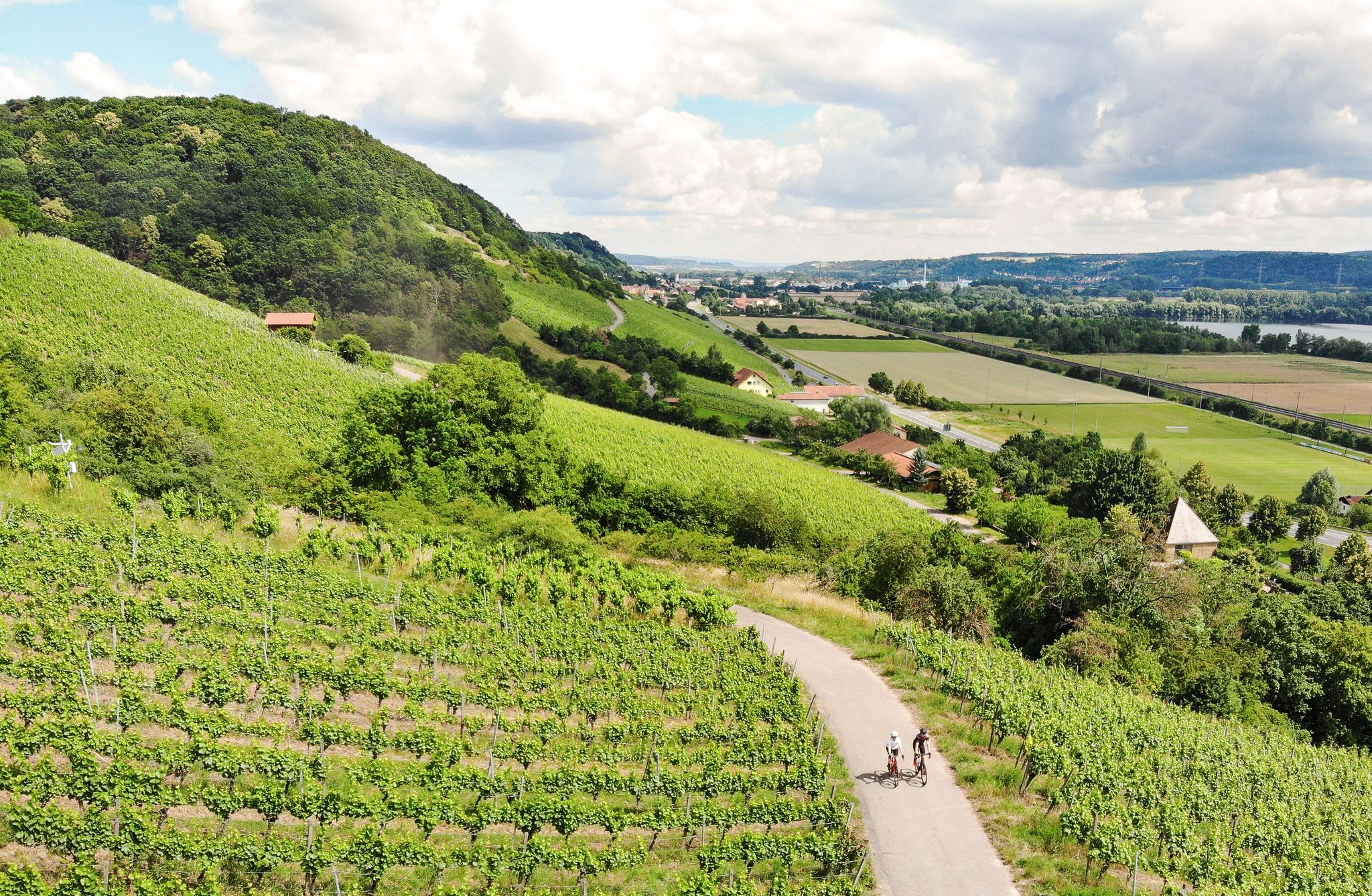
Castles, beer and wine — beautiful rides in the Hass mountains
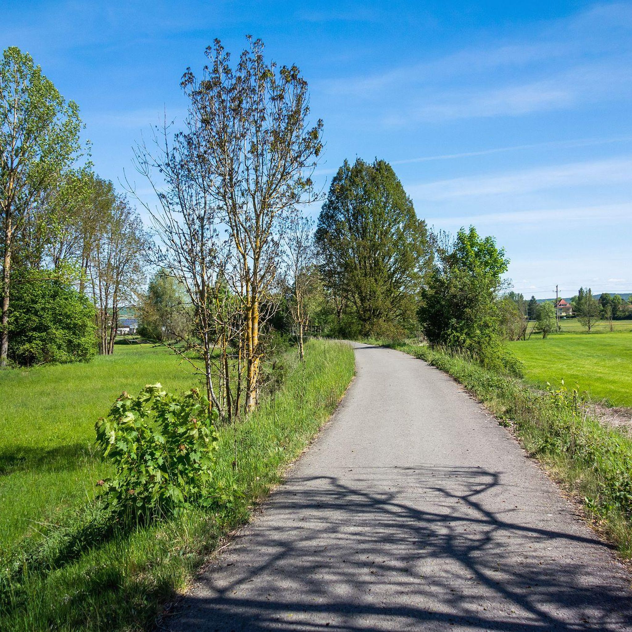
Cycling in Milztal Und Oberes Saaletal
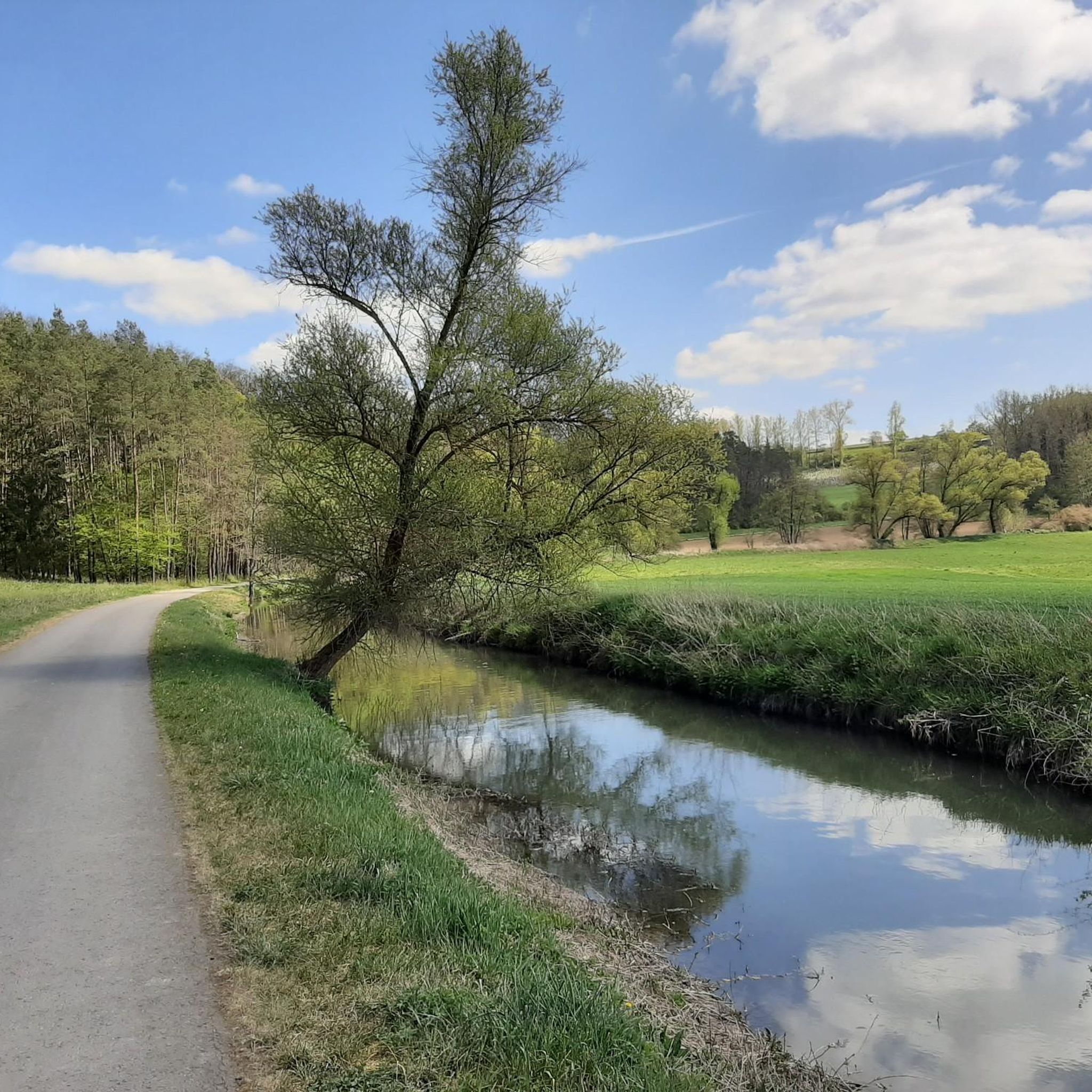
Road Cycling Routes in Milztal Und Oberes Saaletal
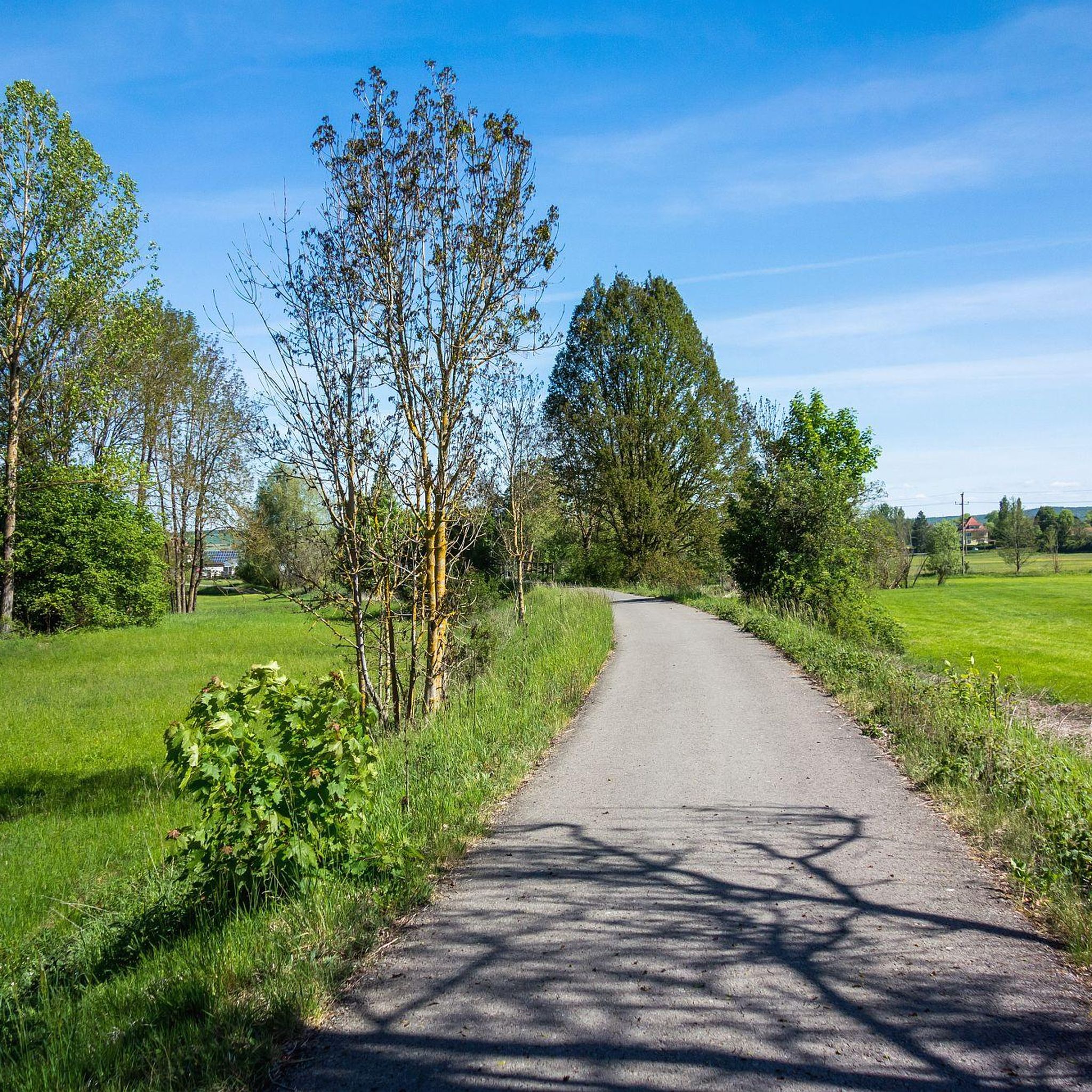
Hiking in Milztal Und Oberes Saaletal
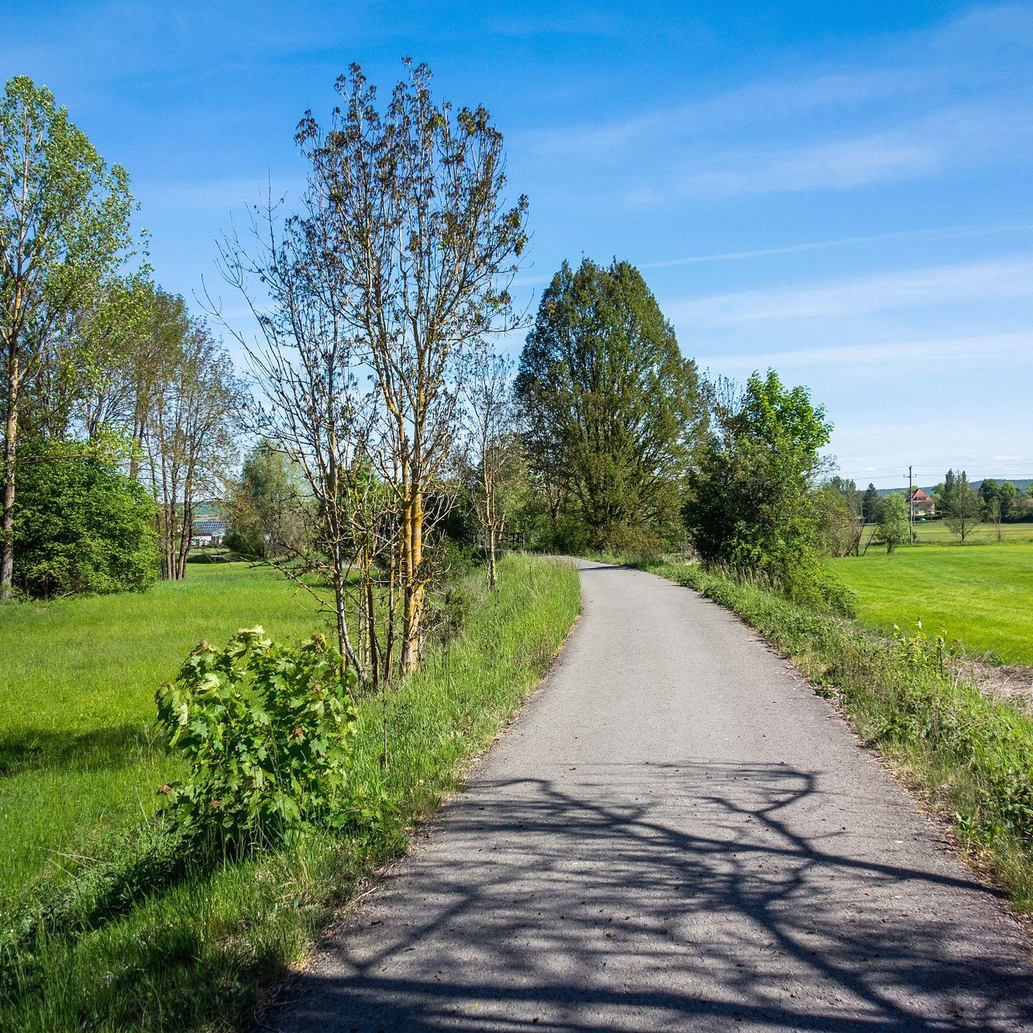
MTB Trails in Milztal Und Oberes Saaletal
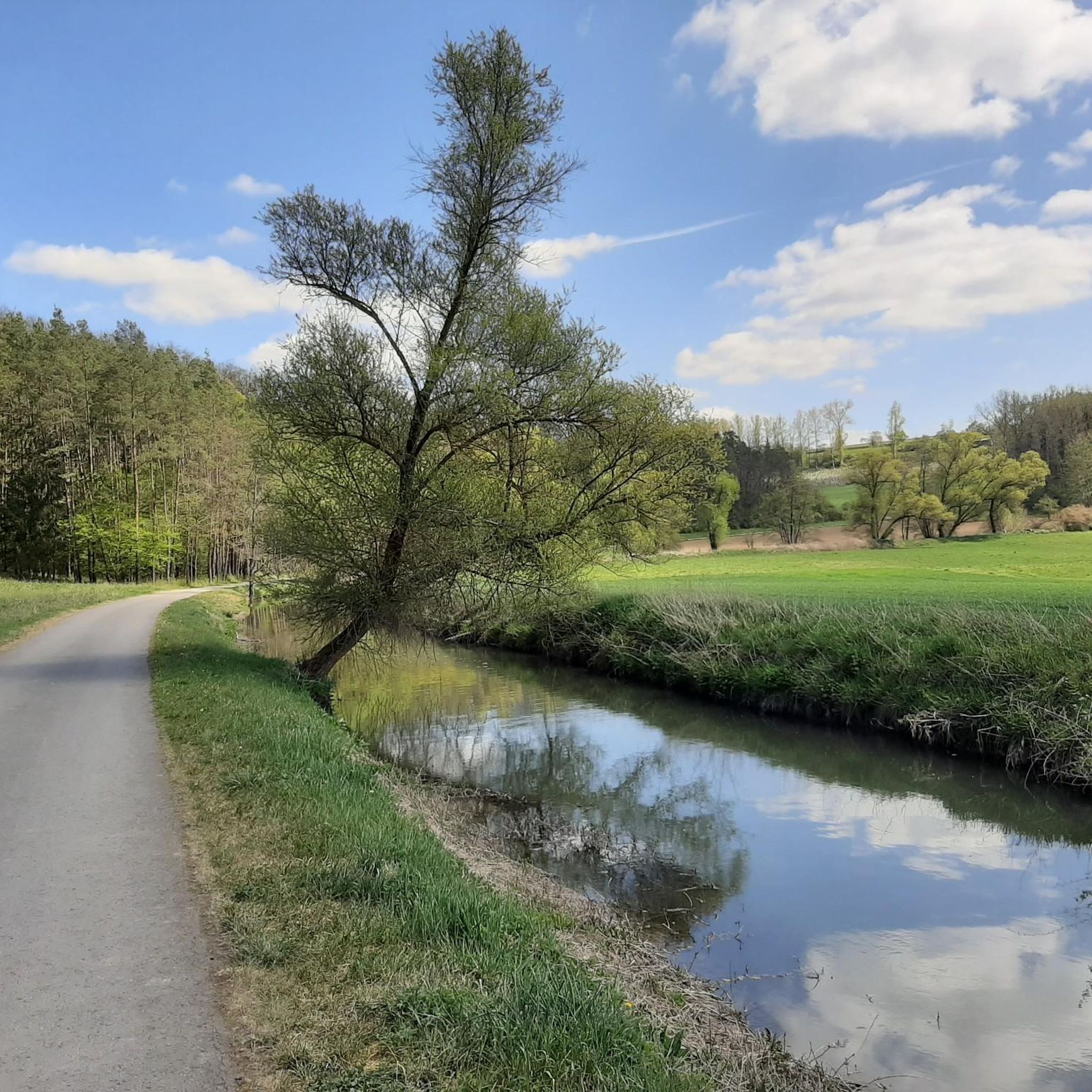
Running Trails in Milztal Und Oberes Saaletal
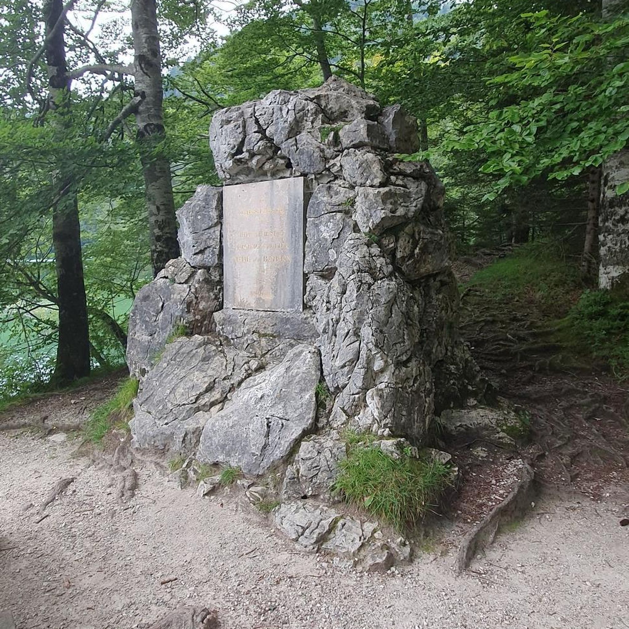
Gravel biking in Milztal Und Oberes Saaletal
Other adventures in Milztal Und Oberes Saaletal

Tips from the Community

A nice little bridge here.
0
0

This three-span, round-arched bridge from the 18th century was the former Saale Bridge to Hollstadt. On the bridge is a late Baroque sandstone statue depicting Saint Nepomuk. This is fitting for the location, as Nepomuk is considered the bridge saint and patron of the seal of confession.
14
1

Passenger train traffic was stopped on May 30, 1976, and freight train traffic on December 30, 1994. The Federal Railway Authority approved the closure of the line on May 11, 1995, which was then completed on August 1, 1995. The dismantling of the tracks was completed in June 1997. The Saale Valley Cycle Path was later built on the route. https://de.wikipedia.org/wiki/Bahnstrecke_Bad_Neustadt%E2%80%93Bad_K%C3%B6nigshofen
1
1
On April 30, 1888, the Bavarian State Parliament passed a law to build and operate a local railway that would connect Königshofen with Neustadt and provide a connection to the main line to Schweinfurt, which opened in 1874. 1.047 million marks were approved for this purpose. Construction finally began in March 1892 and a year later, on October 1, 1893, the Bavarian State Railway officially opened the local railway. https://de.wikipedia.org/wiki/Bahnstrecke_Bad_Neustadt%E2%80%93Bad_K%C3%B6nigshofen
1
1
The Bad Neustadt–Bad Königshofen railway line was a single-track, 23-kilometer-long branch line in Lower Franconia that ran from Bad Neustadt an der Saale to Bad Königshofen in Grabfeld. The railway line along the Franconian Saale was also called the Grabfeldbahn. The line was dismantled in 1997. https://de.wikipedia.org/wiki/Bahnstrecke_Bad_Neustadt%E2%80%93Bad_K%C3%B6nigshofen
1
2

The Franconian Saale cycle path is one of my most beautiful cycle tours in Germany. Part 1 from the Saale source near Alsleben to Bad Kissingen is very easy and can be ridden by both children and seniors without any problems, as the cycle path is almost entirely ideally paved and has almost no incline. I did cycle on a heavy pedelec, but only used 20% of the battery power from the source to Gemünden (and I'm using the smallest battery). In the upper reaches of the Saale, the section from Bad Neustadt to Bad Kissingen is the more scenic. From the sophisticated Bad Kissingen to the medieval Gemünden, the landscape is the most attractive and varied. It is a pleasure to cycle here, even if there are always 10 to 20 meters of elevation to overcome. Tip: In Bad Kissingen you can eat good "Franconian food" at Bratwurst Glöckle and the Bayerischer Hof. Delicious! In Bad Königshofen, the restaurant at the Hotel Vierjahreszeiten offers excellent cuisine. Delicious! I did ride a heavy pedelec, but I only used 20% of the battery power from the source to Gemünden (and I'm riding with the smallest battery). But in this wonderful landscape, you don't have to constantly whiz through at 25 km/h; an average of 18 km/h without motor support is enough, right? The connection with public transport from Gemünden to Bad Königshofen is a bit difficult. There is a train from Gemünden via Würzburg to Schweinfurt. There is no elevator on the platform in Gemünden. When boarding, you have to climb several steep steps into the carriage. You have to change trains in Schweinfurt. But changing platforms for the connecting train to Bad Neustadt is not possible in just 3 minutes. The onward journey from Bad Neustadt to Bad Königshofen with the 830 or 800 bus didn't work out twice at lunchtime because it was full of school children and there was no room for a bike. So I just rode there by bike (an extra 28 km).
0
0
The Irmelshausen bathing lake and campsite is located directly on the green belt and at the foot of the Gleichberge mountains. The area, which was created in the mid-1970s, was completely renovated in 2017/18. The supply area was sustainably upgraded through renovation and new construction measures, the sanitary facilities were completely renovated and are now barrier-free. The family-friendly bathing and fishing lake is surrounded by a spacious lawn. In the north-western area there is a sandy beach with a jetty, as well as a children's playground with a water feature, table tennis tables and a beach volleyball court. https://badesee-irmelshausen.de/
4
5

Beautiful old railway line has now been converted into a cycle path
0
0
Frequently Asked Questions
What family-friendly activities are available in Milztal Und Oberes Saaletal?
The region offers several family-friendly options. Irmelshausen Lake is ideal for families, featuring a sandy beach, a jetty, and a children's playground with water equipment and a beach volleyball field. The Saale Bridge, Hollstadt, an 18th-century historical site, is also categorized as family-friendly, as is the Former railway station in Großeibstadt.
What natural features can I explore in Milztal Und Oberes Saaletal?
Milztal Und Oberes Saaletal is characterized by its river valleys, dense forests, and significant elevation changes, forming part of the Thuringian Slate Mountains/Upper Saale Valley Nature Park. The Saale River and its associated reservoirs, known as the Saalekaskade, are central to the landscape. Irmelshausen Lake is a prominent natural feature, popular for recreation and offering scenic views.
Are there any historical sites or landmarks to visit?
Yes, the region has historical points of interest. The Saale Bridge, Hollstadt, is an 18th-century three-span, round-arched bridge featuring a late Baroque sandstone statue of Saint Nepomuk. Another site is the Former railway station in Großeibstadt, which tells the story of the region's railway history, with the old line now converted into a cycle path.
What cycling opportunities are available in the area?
The region is excellent for cycling, with diverse terrain including challenging ascents and rewarding descents. A notable route is the Cycle Path on the Former Grabfeld Railway Line, which follows a dismantled railway route. For more cycling options, you can explore various routes in the area, including those for touring bicycles and road cycling. Find detailed guides at Cycling in Milztal Und Oberes Saaletal and Road Cycling Routes in Milztal Und Oberes Saaletal.
Where can I find refreshments or a cafe near attractions?
If you're visiting Irmelshausen Lake, the Lakeside kiosk is conveniently located directly on the lake. It offers food and drinks with views of the water and also provides an e-bike charging station. It's a great spot to relax after exploring the area.
Are there hiking trails near the attractions?
Yes, the region is well-suited for hiking, with numerous routes available that take advantage of the diverse topography, including river areas and forests. You can find various hiking trails, ranging from easy to moderate difficulty, such as the "Wohl.Füll.Eck Unpacked Store – View of Wülfershausen loop from Saal an der Saale" (easy, 6.28 km) or the "Berghäuschen Viewpoint – Museums in the Schranne loop from Bad Königshofen im Grabfeld" (moderate, 17.25 km). For a comprehensive list of routes, visit the Hiking in Milztal Und Oberes Saaletal guide.
What is the best time of year to visit Milztal Und Oberes Saaletal?
The Milztal Und Oberes Saaletal region is enjoyable throughout the warmer months, particularly for outdoor activities like hiking and cycling. Spring and autumn offer pleasant temperatures and beautiful scenery, while summer is ideal for enjoying activities at Irmelshausen Lake. The diverse natural landscape makes it appealing across seasons, though specific opening hours for facilities like the Lakeside kiosk may vary seasonally.
Are there facilities for e-bikes in the region?
Yes, the region is e-bike friendly. Both Irmelshausen Lake and the Lakeside kiosk offer convenient e-bike charging stations, making it easy for cyclists to explore the area without range anxiety.
What kind of terrain can I expect for outdoor activities?
The Milztal Und Oberes Saaletal region features diverse topography with elevation differences often exceeding 300 meters. This provides varied terrain, from gentle paths along river valleys to more challenging ascents through dense forests, suitable for both leisurely walks and more strenuous mountain biking. The Cycle Path on the Former Grabfeld Railway Line offers a relatively flat and easy route.
What do visitors particularly enjoy about Milztal Und Oberes Saaletal?
Visitors appreciate the region's diverse natural landscape, especially the serene environment of Irmelshausen Lake for swimming and relaxation. The well-maintained cycle paths, such as the Cycle Path on the Former Grabfeld Railway Line, are also highly rated for their scenic beauty and ease of use. The combination of natural beauty and historical sites like the Saale Bridge, Hollstadt, offers a rich experience for explorers.
Are there any accessible attractions for visitors with mobility needs?
The Lakeside kiosk at Irmelshausen Lake is wheelchair accessible, and the sanitary facilities at the lake were renovated to be barrier-free. The Cycle Path on the Former Grabfeld Railway Line, built on a former railway, generally offers a flat and accessible surface suitable for various users.
Can I go fishing in Milztal Und Oberes Saaletal?
Yes, Irmelshausen Lake is designated as a family-friendly bathing and fishing lake, making it a suitable spot for those interested in fishing. Please ensure you have the necessary permits and adhere to local fishing regulations.
Most popular routes in Milztal Und Oberes Saaletal

Get inspired with the komoot mobile app


Explore more
Still not found the Highlight you’re looking for? See guides of the top attractions in other regions:
