The best mountain hikes in Rotes Moor
3.7
(4)
19
hikers
6
hikes
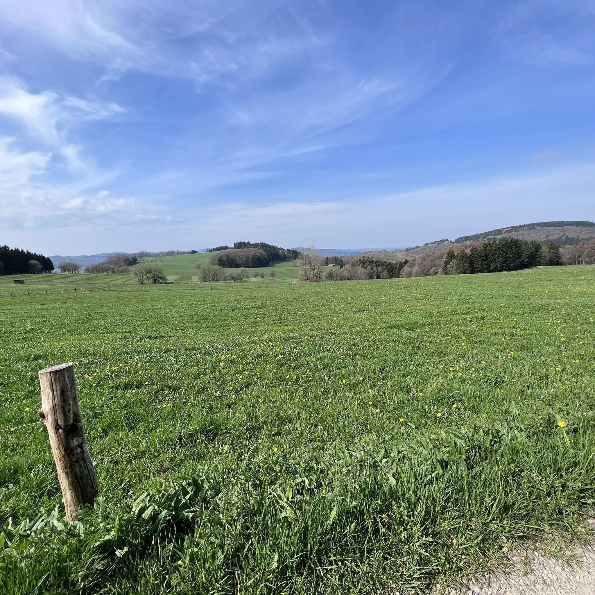
Mountaineering in Rotes Moor is characterized by its unique raised bog ecosystem, situated within the High Rhön Mountains. This region features elevations ranging from 720 to 835 meters above sea level, encompassing diverse landscapes such as peat mosses, birch-moor forests, and mountain meadows. Basalt formations and expansive treeless heights also define the terrain, offering varied conditions for mountaineering.
Best mountaineering routes in Rotes Moor
- The most popular mountaineering route is Cascade Gorge – View of the Wasserkuppe loop from Rotes…
Last updated: July 2, 2026
3
hikers
7.31km
02:05
170m
170m
Moderate mountaineering route. Good fitness required. Easily-accessible paths. Suitable for all skill levels.
5.0
(3)
7
hikers
7.75km
02:27
290m
290m
Moderate mountaineering route. Good fitness required. Mostly accessible paths. Sure-footedness required.

Sign up for free
5.0
(1)
3
hikers
4.18km
01:23
190m
190m
Moderate mountaineering route. Great for any fitness level. Mostly accessible paths. Sure-footedness required.
2
hikers
4.85km
01:34
190m
190m
Moderate mountaineering route. Great for any fitness level. Mostly accessible paths. Sure-footedness required.
2
hikers
Moderate mountaineering route. Good fitness required. Easily-accessible paths. Suitable for all skill levels.
Our route recommendations are based on thousands of hikes, rides, and runs completed by other people on komoot.
Start today with a free account
Your next adventure awaits.
Login or Signup
Popular around Rotes Moor




Tips from the Community

Beautiful landscape
0
0


One of the last raised bogs in Hesse. Peat mining was stopped here in 1986… Today, renaturation is the magic word
13
0

After the climb you have a fantastic view.
1
0

Nice view and a good place to take a break.
1
0

The cliff in front of the Pferdskopf is a separate volcanic phenomenon and offers an even more spectacular view than the nom Pferdskopf, mainly due to the steep slopes. The short detour here is highly recommended. Here, too, an information board explains the background.
2
0

It is a worthwhile destination. Many things are well and clearly described here.
4
1

A visit is very worthwhile. After all, this is about the history of German gliding, which had its origins here on the Wasserkuppe.
4
0
Frequently Asked Questions
How many mountaineering routes are available in Rotes Moor?
There are 7 mountaineering routes documented in Rotes Moor. All of these routes are classified as moderate difficulty, offering a good balance of challenge and accessibility for most hikers.
What kind of terrain can I expect on mountaineering routes in Rotes Moor?
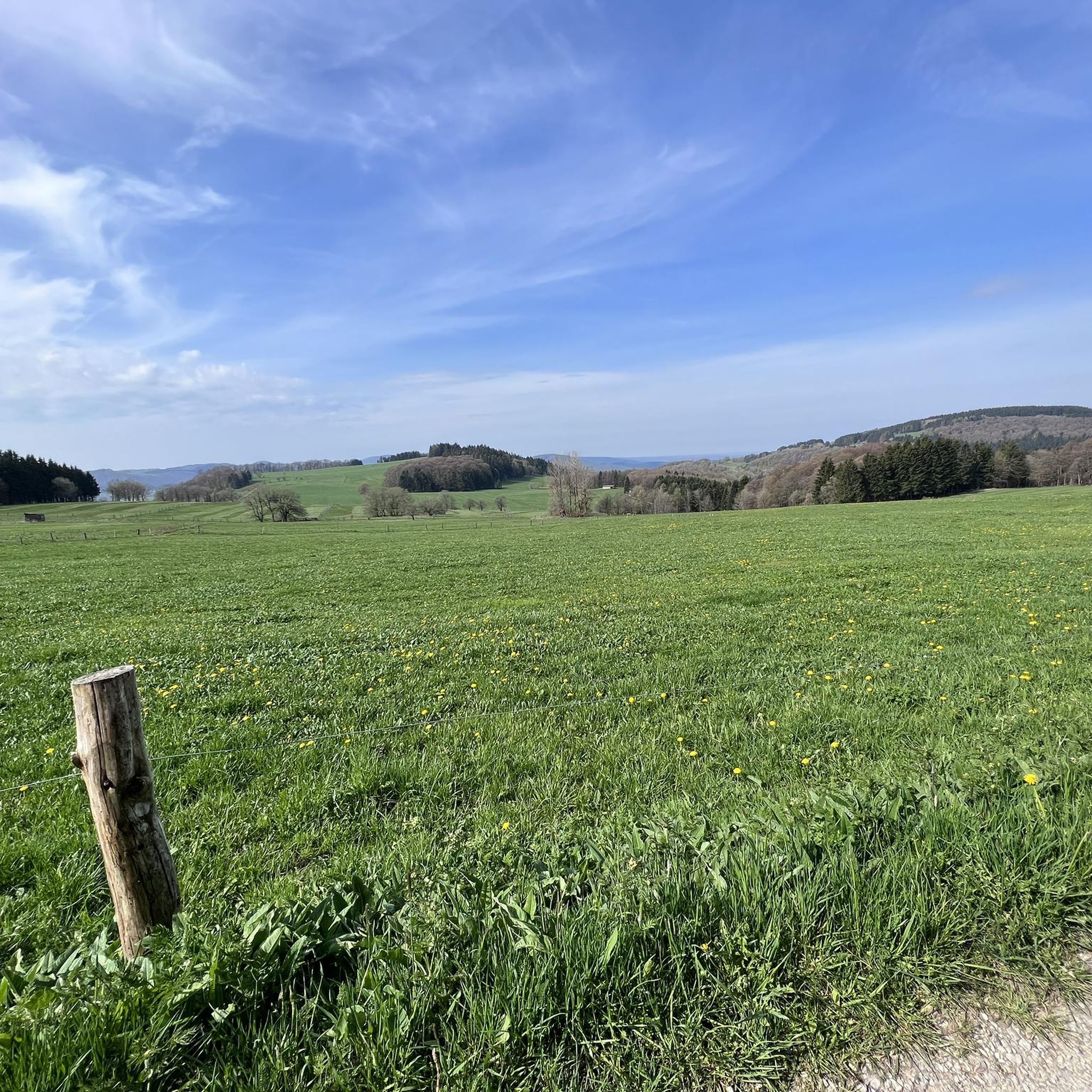
The terrain in Rotes Moor is quite diverse, characterized by its unique raised bog ecosystem with peat mosses, birch-moor forests, and mountain meadows. You'll also encounter basalt formations and expansive treeless heights, especially in the High Rhön. Elevations within the nature reserve range from 720 to 835 meters above sea level, providing varied conditions for your mountaineering experience.
Are there any circular mountaineering routes in Rotes Moor?
Yes, several routes in Rotes Moor are circular. For instance, the Cascade Gorge – View of the Wasserkuppe loop from Rotes Moor is a popular choice, offering scenic views towards the Wasserkuppe. Another option is the Pfertskopf loop from Wasserkuppe, which explores varied terrain around the highest mountain in the Rhön.
What interesting natural features or landmarks can I see along the mountaineering routes?
Rotes Moor is rich in natural beauty and unique features. You can explore the distinctive raised bog ecosystem via the Boardwalk Trail Through the Rotes Moor, visit the serene Moor lake in the Red Moor, or discover the Carpathian Birch Grove. For panoramic views, an Observation tower with a view of the Heidelstein and Rotes Moor is also accessible.
What do other mountaineers enjoy most about Rotes Moor?
The komoot community rates the mountaineering routes in Rotes Moor highly, with an average score of 3.7 stars. Users often praise the unique raised bog landscape, the expansive views from the treeless heights of the Rhön, and the diverse forest types, including birch-moor and beech forests, that make for an immersive nature experience.
Are there any routes that lead to historical sites or cultural landmarks?
Yes, some routes combine natural beauty with historical interest. The Osterburg castle ruins – Kreuzberg Monastery loop from Bischofsheim in der Rhön is a notable example, leading you through forested areas and past significant historical sites during its 11.1 km journey.
Is Rotes Moor suitable for family-friendly mountaineering?
While all listed mountaineering routes are moderate in difficulty, the region offers a variety of trails. The roughly one-kilometer-long boardwalk through the Rotes Moor is particularly family-friendly, providing an accessible way to experience the unique ecosystem. For longer hikes, consider the fitness level of your family members, as some routes involve significant ascents and descents.
What is the best time of year to go mountaineering in Rotes Moor?
Rotes Moor offers a compelling experience year-round. Spring and autumn provide pleasant temperatures and vibrant colors, while summer allows for longer days and full enjoyment of the open landscapes. Even winter can be beautiful, though sturdy footwear and appropriate gear are essential for potentially snowy or icy conditions.
Are there options for parking near the mountaineering routes?
Yes, Rotes Moor is well-developed for tourism. There is a large car park located near the Haus am Roten Moor, which serves as a convenient starting point for exploring the area and accessing various trails. This facility also provides toilets and information boards.
Can I find places to eat or stay near the mountaineering routes?
While the immediate vicinity of Rotes Moor focuses on the nature reserve, the broader Rhön region offers various amenities. The Haus am Roten Moor has a kiosk for basic refreshments. For more substantial meals or accommodation, you would typically find options in nearby towns and villages within the Rhön Mountains.
Are there any routes that offer views of the Wasserkuppe?
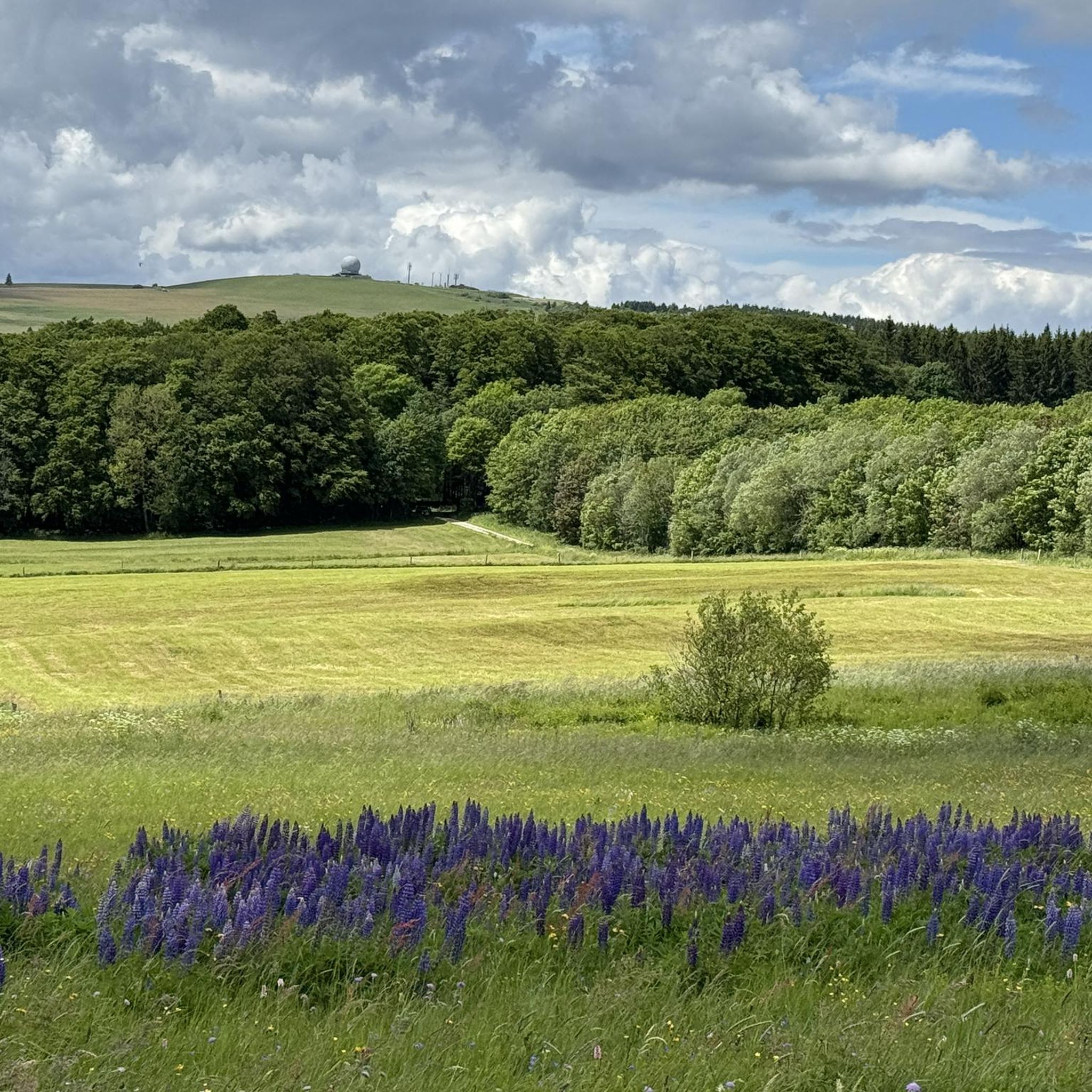
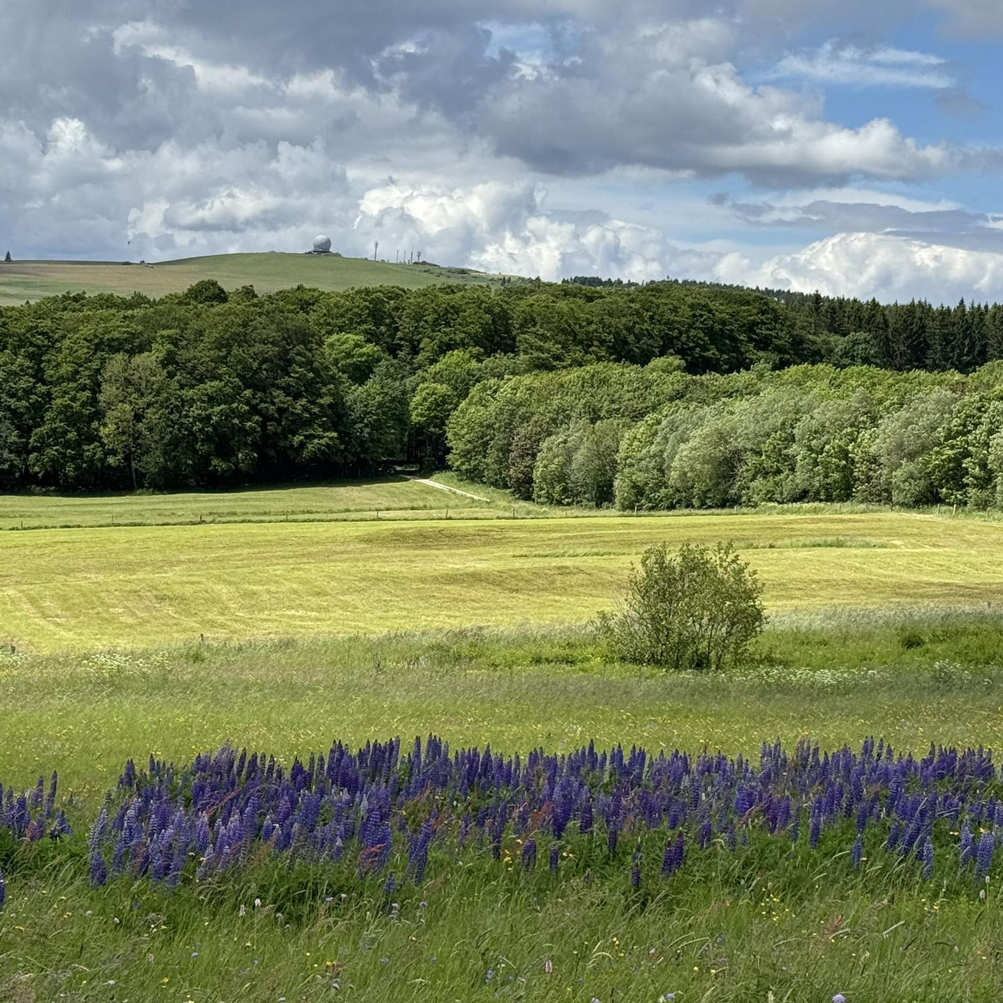
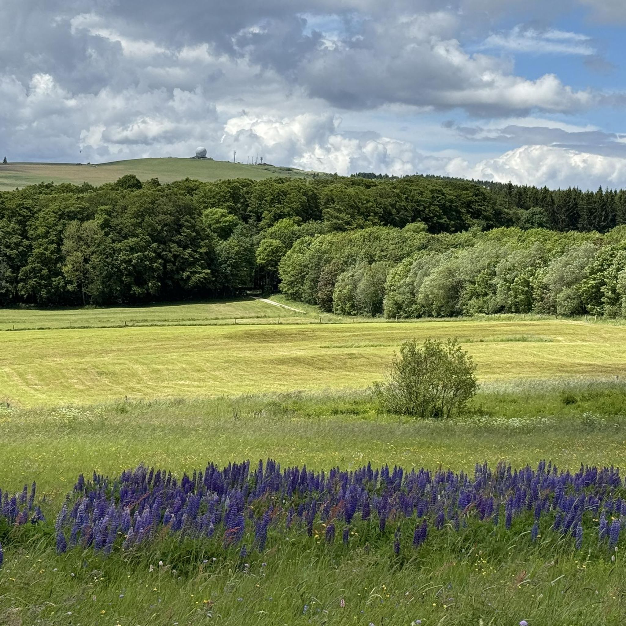
Absolutely. Several routes connect Rotes Moor with the Wasserkuppe, the highest mountain in the Rhön, offering magnificent panoramic views. The Cascade Gorge – View of the Wasserkuppe loop from Rotes Moor specifically highlights views towards this iconic peak.
What is the longest mountaineering route available in Rotes Moor?
The longest mountaineering route listed is The steps up to Kreuzberg – Kreuzberg Monastery loop from Bischofsheim in der Rhön, covering a distance of 15.1 km. This route involves significant elevation changes and typically takes around 4 hours and 35 minutes to complete.
Most popular routes in Rotes Moor
Most popular attractions in Rotes Moor

Get inspired with the komoot mobile app


Explore more
Browse the best Mountain Hikes & Routes in other regions.
