The best road cycling routes in Rotes Moor
4.7
(256)
3,050
riders
149
rides
Road cycling in Rotes Moor, situated within the Hessian Rhön Mountains, offers a diverse and challenging landscape for cyclists. The region is characterized by its hilly terrain, with elevations ranging from 720 to 835 meters, and features a mix of open spaces, beech forests, and species-rich meadows. While the Rotes Moor itself is a protected raised bog, the surrounding Rhön Biosphere Reserve provides an extensive network of paved roads and cycle paths, making it a prominent destination for road cyclists…
Last updated: July 5, 2026
4.4
(10)
64
riders
51.9km
02:35
800m
800m
Moderate road ride. Good fitness required. Mostly well-paved surfaces and easy to ride.
11
riders
68.1km
03:16
970m
960m
Hard road ride. Very good fitness required. Mostly well-paved surfaces and easy to ride.

Sign up for free
5.0
(1)
10
riders
48.4km
02:20
630m
630m
Moderate road ride. Good fitness required. Some segments of this route may be unpaved and difficult to ride.
12
riders
47.8km
02:48
1,180m
1,180m
Hard road ride. Very good fitness required. Mostly well-paved surfaces and easy to ride.
4
riders
51.8km
02:44
1,010m
1,000m
Hard road ride. Very good fitness required. Mostly well-paved surfaces and easy to ride.
Get access to more routes and recommendations from other explorers.
Sign up for free
Already have an account?
Our route recommendations are based on thousands of hikes, rides, and runs completed by other people on komoot.
Start today with a free account
Your next adventure awaits.
Login or Signup


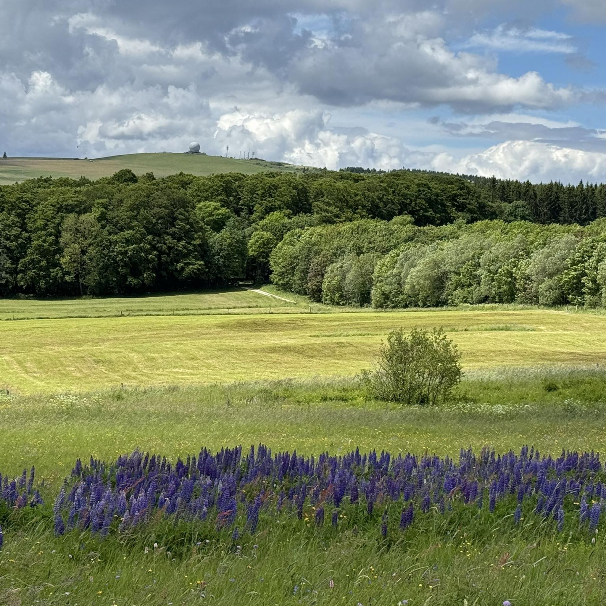
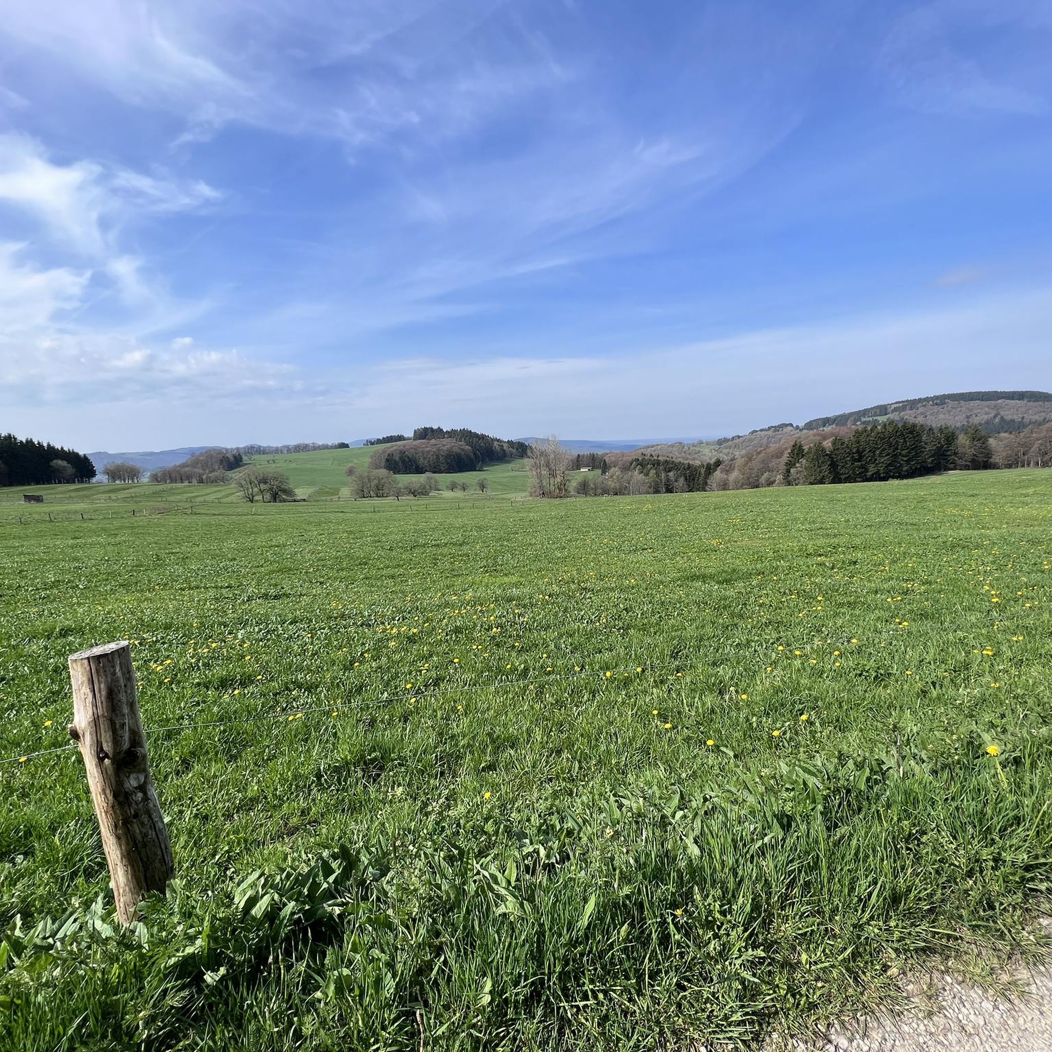
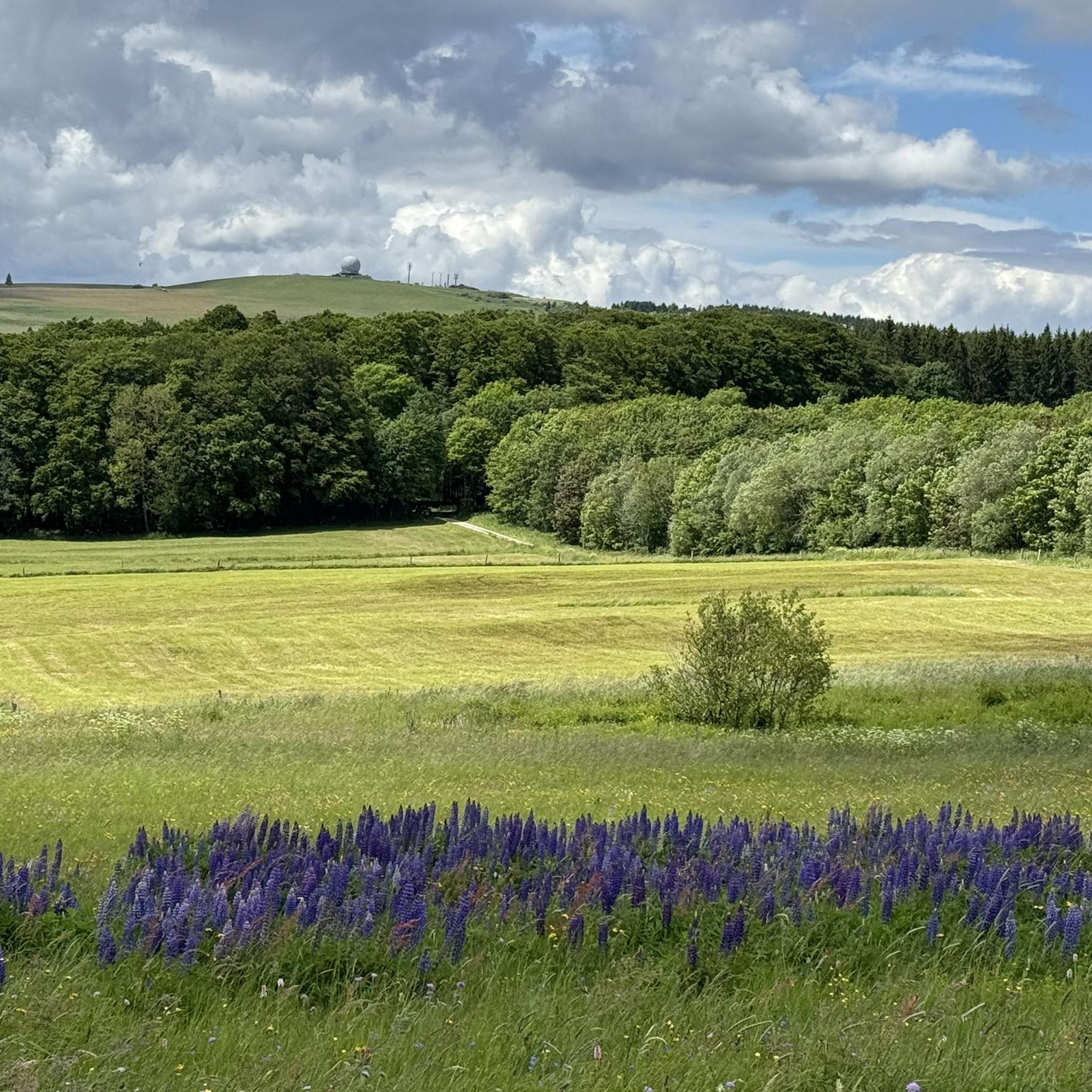
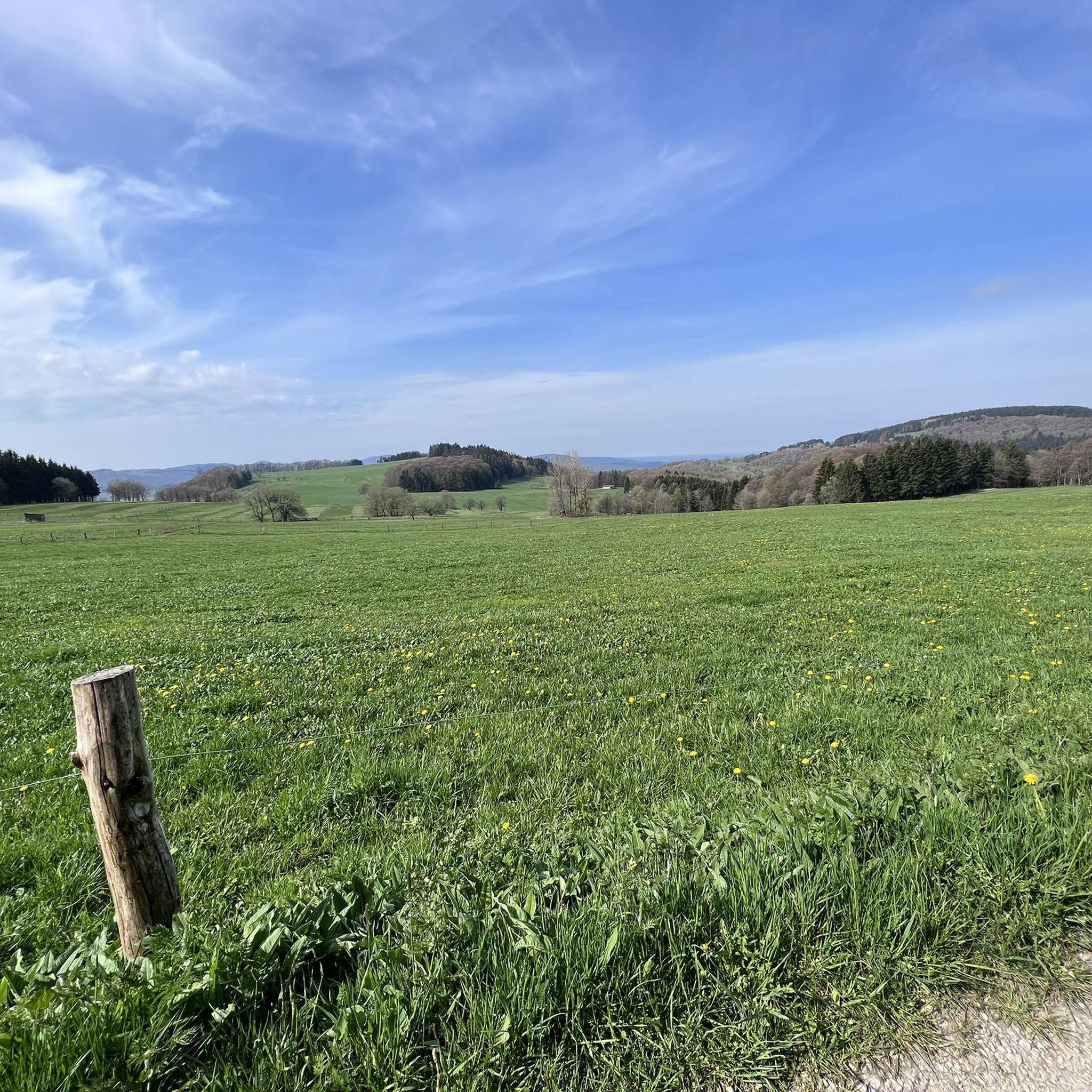



Tips from the Community

🤩very nice view, just a pity that the NES hut is closed.
0
0

Oll Oll Oll Oll Oll oll oll ä Pop Pop LOL Oll LOL LOL LOL LOL LOL Oll Oll p ö Oll Oll Mol Oll LL LL LL LOL komm l p
0
2

Beautiful views into the distance and of the nearby Kreuzberg and Arnsberg mountains. Anyone who still has the energy at this point should tackle the last few meters to the Kreuzberg summit. The path is paved all the way to the summit, making it suitable for road bikes.
0
0


old hydroelectric power station
0
0

Gladly accepted hiking parking lot including lots of maps on the wooden wall for orientation
14
0

Very easy to see from the bike path
2
0

This descent from the Hochrhön to Bischofsheim, or vice versa, is a tough climb, and is characterized by a good surface that you can really roll on. However, you should definitely keep an eye on the hairpin bend as there is a gravel pit there, which means that there is often sand or gravel or stones on the road in the bend!
0
0
Frequently Asked Questions
What kind of terrain can I expect on road cycling routes in Rotes Moor?
Road cycling in Rotes Moor, part of the Hessian Rhön Mountains, features a diverse and challenging landscape. You'll encounter hilly terrain with elevations ranging from 720 to 835 meters, offering significant elevation changes. The routes traverse a mix of open spaces, dense beech forests, and species-rich meadows, providing varied topography for cyclists.
How many road cycling routes are available in the Rotes Moor area?
The Rotes Moor area, within the Rhön Biosphere Reserve, offers an extensive network of over 150 road cycling routes. These routes cater to various skill levels, with options ranging from easy to difficult.
Are there routes suitable for beginners or those looking for an easier ride?
Yes, while the region is known for its hilly landscape, there are 4 easy road cycling routes available. Additionally, 80 moderate routes offer a balanced challenge, making the area accessible for various fitness levels.
What are some challenging road cycling routes in Rotes Moor for experienced cyclists?
For experienced cyclists seeking a challenge, the Rotes Moor area offers 71 difficult routes. One such route is the Tann Town Gate – Feldabahn Cycle Path loop from Ehrenberg (Rhön), which covers 68.1 km with notable elevation gains. Another demanding option is the Kreuzberg Monastery – View of Sandberg loop from Ehrenberg (Rhön), featuring over 1175 meters of ascent.
What attractions can I see along the road cycling routes in Rotes Moor?
While cycling, you'll be surrounded by the natural beauty of the Rhön Biosphere Reserve. Although the Rotes Moor itself is a protected bog primarily explored on foot, many routes offer scenic views of the surrounding mountains. You can also find highlights like the Observation tower with a view of the Heidelstein and Rotes Moor, or the tranquil Moor lake in the Red Moor.
What do other road cyclists say about their experience in Rotes Moor?
The road cycling routes in Rotes Moor are highly rated by the komoot community, with an average score of 4.7 stars from over 250 reviews. Cyclists often praise the varied terrain, the stunning vistas of the Rhön landscape, and the well-maintained paved roads that make for engaging rides.
Are there any circular road cycling tours in the Rotes Moor region?
Yes, many routes in the Rotes Moor area are designed as loops, allowing you to start and end at the same point. An example is the Milseburg Tunnel – View of Bieberstein Castle loop from Wasserkuppe, a moderate 51.8 km tour offering scenic views.
What is the best time of year for road cycling in Rotes Moor?
The Rhön region, including Rotes Moor, is ideal for road cycling during the warmer months, typically from spring through autumn. During these seasons, the weather is generally favorable, and the natural landscape is at its most vibrant. Winter offers opportunities for cross-country skiing, but road cycling conditions may be challenging due to snow and ice.
Are there parking facilities available for road cyclists in Rotes Moor?
Yes, Rotes Moor is a well-developed tourist destination with a large car park available. This makes it convenient for cyclists to park their vehicles and start their tours. The 'Haus am Roten Moor' also provides amenities near the parking area.
Can I reach Rotes Moor's cycling routes using public transport?
While specific public transport connections directly to all cycling route starting points may vary, the Rotes Moor area is generally accessible. The region's well-developed tourist infrastructure often includes connections to nearby towns, which may offer options for reaching the broader Rhön cycling network. It's advisable to check local bus schedules for the most current information.
Are there any family-friendly road cycling options in Rotes Moor?
While the Rhön is known for its hilly terrain, some of the 4 easy routes or sections of the 80 moderate routes might be suitable for families, especially those with older children or e-bikes. For very young children, the immediate Rotes Moor nature reserve has accessible walking paths, but dedicated flat, family-specific road cycling paths might be found in broader Rhön areas like the Milseburgradweg.
What kind of natural features will I encounter while cycling in the Rotes Moor region?
Beyond the unique raised bog ecosystem of Rotes Moor itself, the surrounding Rhön Biosphere Reserve offers a rich natural environment. You'll cycle through diverse landscapes featuring extensive beech forests, traditional hedges, agricultural land, and species-rich meadows at higher elevations. The region is often called the 'land of open spaces' due to its expansive views.
Most popular routes in Rotes Moor
Most popular attractions in Rotes Moor

Get inspired with the komoot mobile app


Explore more
Browse the best Road cycling routes in other regions.
