Bischofswaldung Mit Stedtlinger Moor
Bischofswaldung Mit Stedtlinger Moor
The best MTB trails in Bischofswaldung Mit Stedtlinger Moor
4.5
(357)
1,234
riders
173
rides
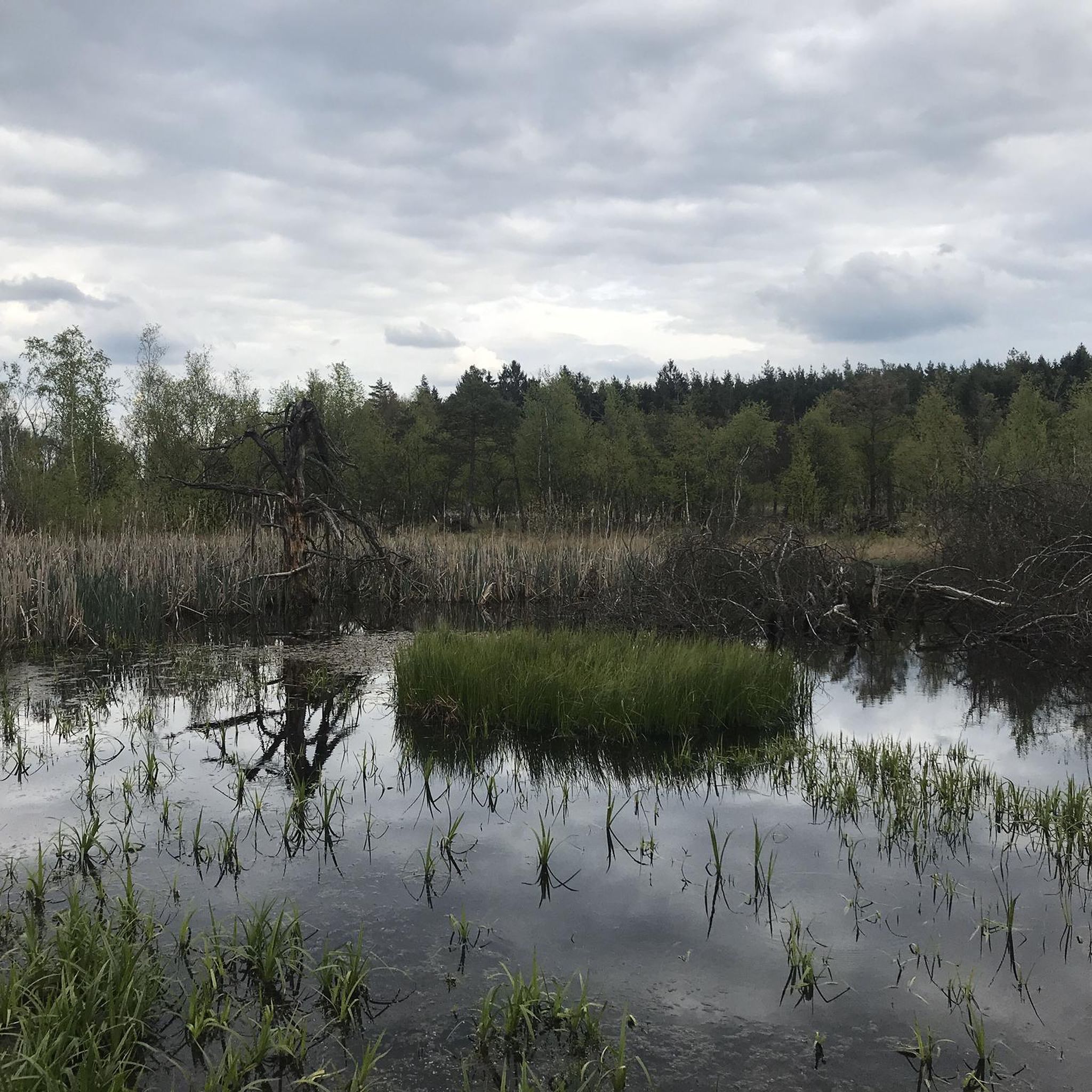
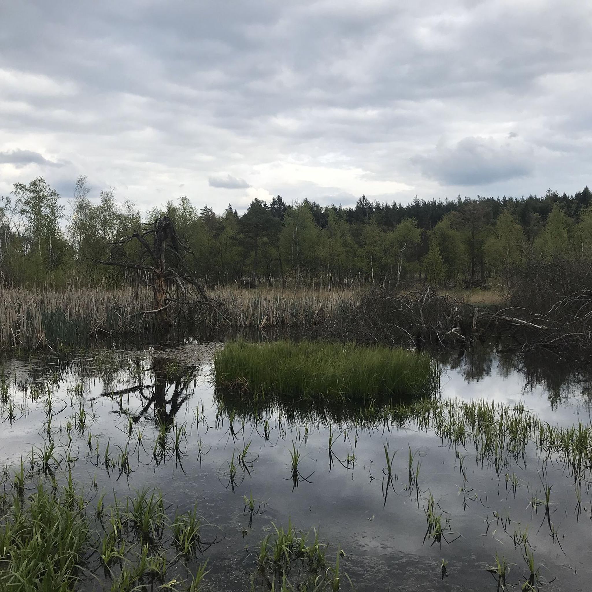
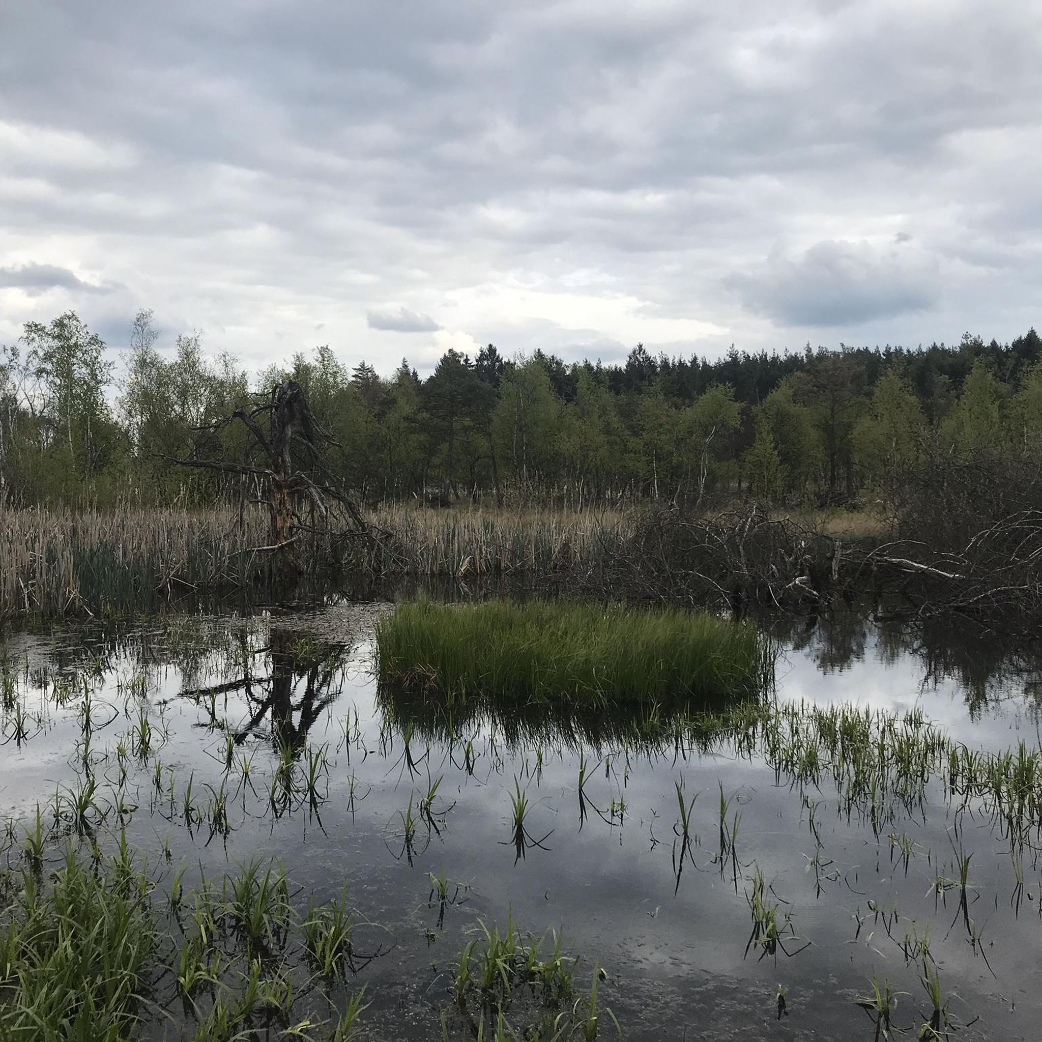
Mountain biking in Bischofswaldung Mit Stedtlinger Moor traverses a landscape characterized by rare transition and quaking bog moor ecosystems, alongside natural beech forests and expansive meadows. Several streams, including the Sülze, Schmerbach, and Elmbach, flow through the area, contributing to its ecological diversity. The terrain offers varied challenges, from steep climbs and fast descents to technical passages with roots and stones. This region, part of the Rhön Biosphere Reserve, provides diverse mountain biking opportunities.
Best mountain bike trails in Bischofswaldung…
Last updated: July 1, 2026
7
riders
20.4km
01:27
240m
240m
Easy mountain bike ride. Great for any fitness level. Suitable for all skill levels.
2
riders
40.9km
02:57
560m
560m
Moderate mountain bike ride. Good fitness required. Advanced riding skills necessary.

Sign up for free
2
riders
45.4km
03:27
650m
650m
Moderate mountain bike ride. Good fitness required. Suitable for all skill levels.
4.7
(23)
64
riders
41.3km
02:24
300m
300m
Moderate mountain bike ride. Good fitness required. Advanced riding skills necessary.
5.0
(2)
11
riders
Moderate mountain bike ride. Great for any fitness level. Advanced riding skills necessary.
Get access to more routes and recommendations from other explorers.
Sign up for free
Already have an account?
Our route recommendations are based on thousands of hikes, rides, and runs completed by other people on komoot.
Start today with a free account
Your next adventure awaits.
Login or Signup
Popular around Bischofswaldung Mit Stedtlinger Moor
Tips from the Community

It's beautiful at the Streu. Great for a short relaxing walk
0
0

The road along there is great to drive!
1
0

Great hut with summit book, very well maintained.
8
0

Unfortunately, it's still closed. It's sad that the castle is falling into such disrepair.
1
0

Beautiful view of Hutsburg with information about the castle
0
0

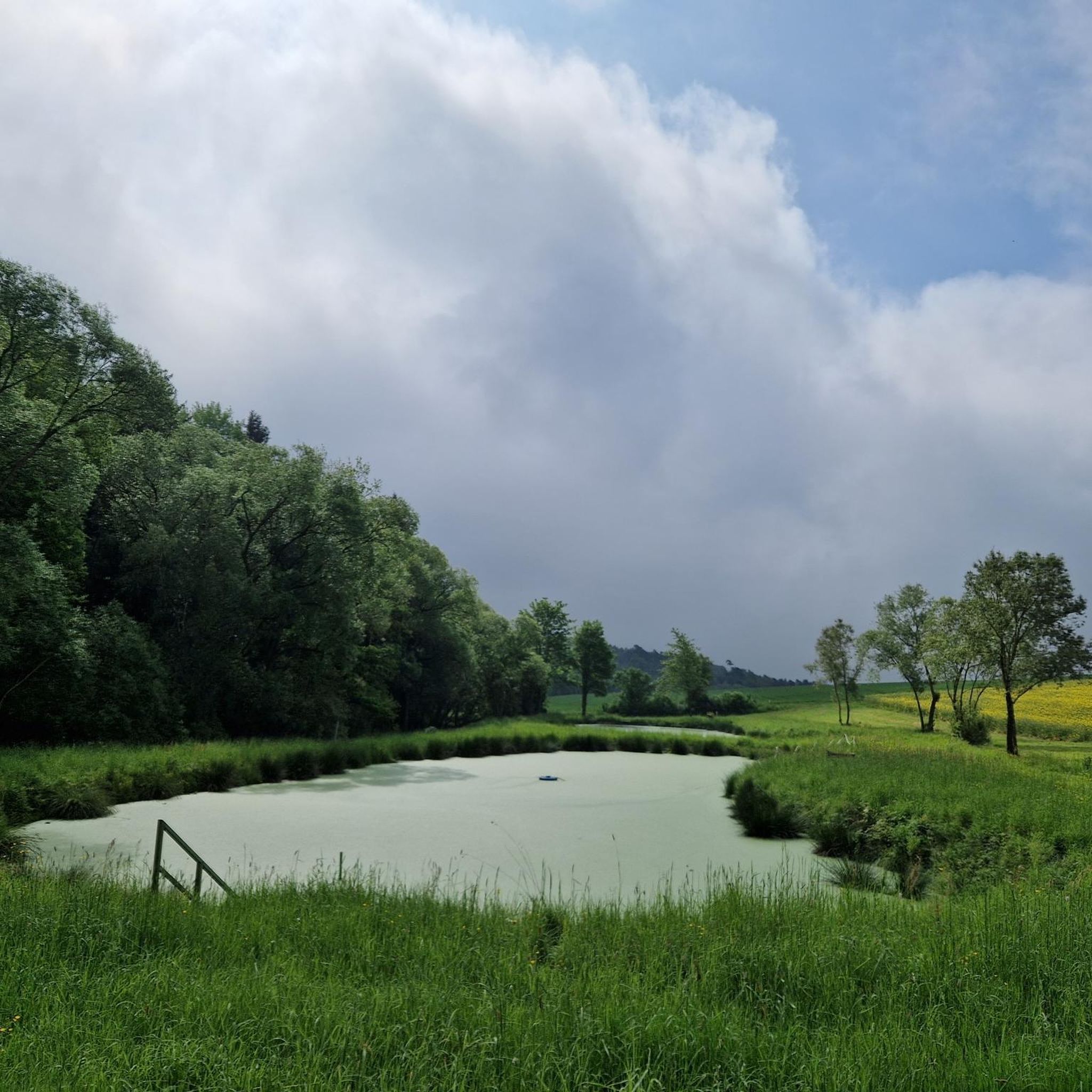
Beautiful little lake, ideal for unwinding.
0
0


This gray, age-old ruin is called "Mauerschädel," meaning "uninhabitable ruin." The people's imagination has always been preoccupied with this ruin, and in 1891, the blind legend collector Chr. Ludwig Wucke recorded the following legend: Filke was once a large town, stretching from Oberfilke to the now-vanished old St. Peter's Church and the village of Willmars. It was crossed by three streams and had over 300 bakers and the first Christian church in the area. The bishop baptized the pagans there. Its remains form the "Mauerschädel." Indeed, the legend is supported by the fact that a large number of now-vanished settlements once existed in the area around Filke. The ruin lies directly on the border between Thuringia and Bavaria.
5
0
Frequently Asked Questions
What kind of terrain can I expect on mountain bike trails in Bischofswaldung Mit Stedtlinger Moor?
The region offers a diverse range of terrain, from rare transition and quaking bog moor ecosystems to natural beech forests and expansive meadows. You'll encounter varied challenges including steep climbs, exhilarating fast descents, and technical passages with roots and stones, as well as gravel tracks. The Rhön Biosphere Reserve, where the area is located, is known for its 'Land of Open Distances' providing breathtaking views.
How many mountain bike trails are available in Bischofswaldung Mit Stedtlinger Moor?
There are over 190 mountain bike trails in Bischofswaldung Mit Stedtlinger Moor, catering to various skill levels from easy to difficult. This extensive network provides plenty of options for exploration.
Are there mountain bike trails suitable for beginners or families in Bischofswaldung Mit Stedtlinger Moor?
Yes, the area offers trails suitable for beginners and families. For an easy and scenic ride, consider the Kuhhalte Shelter – Deserted Village of Schmerbach loop from Mellrichstadter Forst, which is 12.7 miles (20.4 km) long and explores historical border markers and diverse landscapes.
What are some notable natural features or attractions I can see while mountain biking?
The region is rich in natural beauty and historical sites. You can explore the unique transition and quaking bog moor ecosystems, natural beech forests, and streams like the Sülze, Schmerbach, and Elmbach. Significant attractions include the Stedtlinger Moor, Petersee Moor, and historical markers like the DDR Border Stone, part of the former inner German border.
Are there any circular mountain bike routes in the area?
Yes, many routes in Bischofswaldung Mit Stedtlinger Moor are designed as loops. For example, the View of Sülzfeld – Fasanerie Hunting Lodge loop from Stedtlingen is a moderate 14.2 miles (22.8 km) path offering varied terrain through forests and open areas. Another option is the longer Seeba Lake – View of the Geba loop from Völkershausen Ostheimer Str. 16, a 28.2 miles (45.4 km) trail.
What do other mountain bikers enjoy most about the trails in Bischofswaldung Mit Stedtlinger Moor?
The area is highly rated by the komoot community, with an average score of 4.5 stars from over 350 reviews. Mountain bikers often praise the diverse landscapes, the variety of challenges from steep climbs to technical sections, and the opportunity to explore unique natural features like the moor ecosystems and historical sites.
What is the best time of year to go mountain biking in Bischofswaldung Mit Stedtlinger Moor?
While specific seasonal advice isn't provided, the diverse landscapes including moors and forests suggest that spring and autumn offer pleasant temperatures and vibrant scenery. Summer can also be great, but be mindful of potential heat. Winter might be challenging due to snow or ice, especially on technical sections.
Are there any trails with good viewpoints?
Yes, the Rhön region is known as the 'Land of Open Distances,' offering breathtaking views. The 'Höhenweg trail' (mentioned in regional research) specifically offers magnificent views over the surrounding countryside. Many routes traverse varied topography, providing opportunities for scenic vistas.
Are there any dog-friendly mountain bike routes in Bischofswaldung Mit Stedtlinger Moor?
While specific dog-friendly routes aren't highlighted, many natural trails in the region are generally suitable for well-behaved dogs on a leash. Given the area's focus on natural conservation, always ensure your dog is under control and respect local wildlife and regulations, especially in sensitive moor ecosystems.
Where can I find parking for mountain biking in Bischofswaldung Mit Stedtlinger Moor?
The guide data does not specify exact parking locations. However, as a popular outdoor destination, it's common to find designated parking areas near trailheads or in nearby villages like Mellrichstadter Forst, Stedtlingen, or Völkershausen, which are starting points for several routes.
Are there any advanced or difficult mountain bike trails for experienced riders?
Yes, the region caters to experienced riders with challenging sections. The terrain includes steep climbs, fast descents, and technical passages with roots and stones. There are 11 difficult trails among the over 190 routes, offering a test for advanced skills. The 'Tech trail' (mentioned in regional research) is specifically designed for improving technical riding skills.
Can I reach the mountain bike trails using public transport?
The guide data does not provide specific public transport information for reaching the trailheads. However, for regions within the Rhön Biosphere Reserve, it's advisable to check local bus schedules or regional train connections to nearby towns, and then plan for a short ride or transfer to the starting points of the trails.
Most popular routes in Bischofswaldung Mit Stedtlinger Moor
Most popular attractions in Bischofswaldung Mit Stedtlinger Moor

Get inspired with the komoot mobile app


Explore more
Browse the best MTB trails in other regions.
