The best walks and hikes in Bischofswaldung Mit Stedtlinger Moor
4.5
(2559)
8,938
hikers
620
hikes
Hiking trails in Bischofswaldung Mit Stedtlinger Moor traverse a diverse landscape within the Rhön Biosphere Reserve in Thuringia, Germany. The region features unique transition and quaking bog moor ecosystems, alongside natural beech forests and extensive meadows. Several streams, including the Sülze, Schmerbach, and Elmbach, flow through the area, contributing to its ecological diversity. This terrain offers varied hiking experiences, from wetlands to woodlands.
Best hiking trails in Bischofswaldung Mit Stedtlinger Moor
- The most popular hiking route is DDR Border Stone…
Last updated: July 1, 2026
3.7
(3)
4
hikers
11.1km
03:03
190m
190m
Moderate hike. Good fitness required. Easily-accessible paths. Suitable for all skill levels.
2
hikers
10.6km
02:54
170m
170m
Moderate hike. Good fitness required. Easily-accessible paths. Suitable for all skill levels.

Sign up for free
4.3
(7)
20
hikers
6.27km
01:44
100m
100m
Easy hike. Great for any fitness level. Easily-accessible paths. Suitable for all skill levels.
4.6
(5)
14
hikers
Moderate hike. Good fitness required. Easily-accessible paths. Suitable for all skill levels.
4.8
(5)
14
hikers
12.9km
03:32
210m
210m
Moderate hike. Good fitness required. Easily-accessible paths. Suitable for all skill levels.
Get access to more routes and recommendations from other explorers.
Sign up for free
Already have an account?
Our route recommendations are based on thousands of hikes, rides, and runs completed by other people on komoot.
Start today with a free account
Your next adventure awaits.
Login or Signup
Popular around Bischofswaldung Mit Stedtlinger Moor
Tips from the Community

High up on the former volcanic cone, Central European history can be felt and experienced. A presumably Celtic hilltop settlement was followed by a medieval-Franconian hilltop castle. Its two construction phases of the unusually high surrounding walls are exactly recognizable: Basalt and shell limestone (which doesn't occur here at all). Conquered and destroyed twice. Most recently in 1525 during the "Peasants' War". Attention heritage protection: why do you expose this gem to destruction a third time??? This time to oblivion?
0
0

A small, decorated Christmas tree by the roadside. A highlight of the Christmas season. Everyone is welcome to hang something on it or take something off. If you're lucky, you might even get a schnapps or some sweets. Cool idea, definitely worth a quick stop! Founded by a dedicated resident of Stedtlingen 👌.
0
0

The varied premium hiking trail "Der Willmarser" leads along fields, streams and forests around the picturesque villages of Willmars and Filke at the foot of the Rhön.
5
0
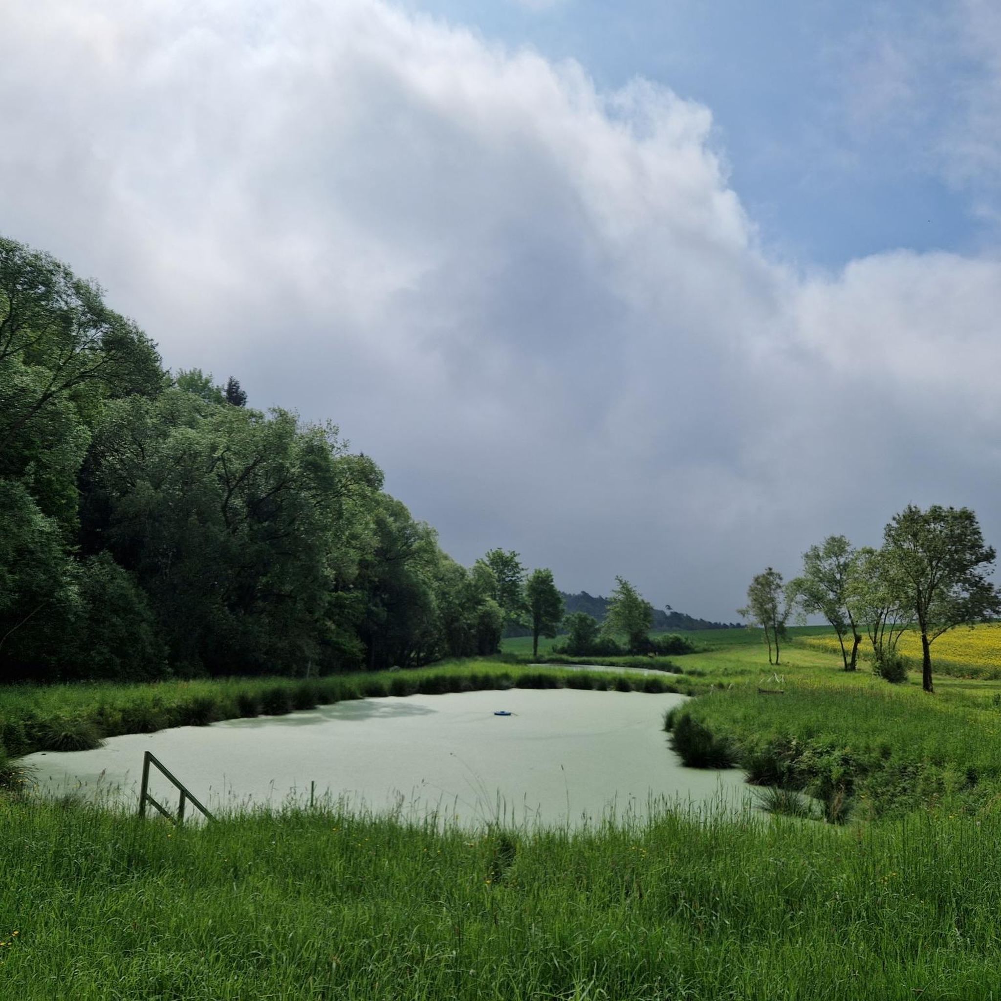
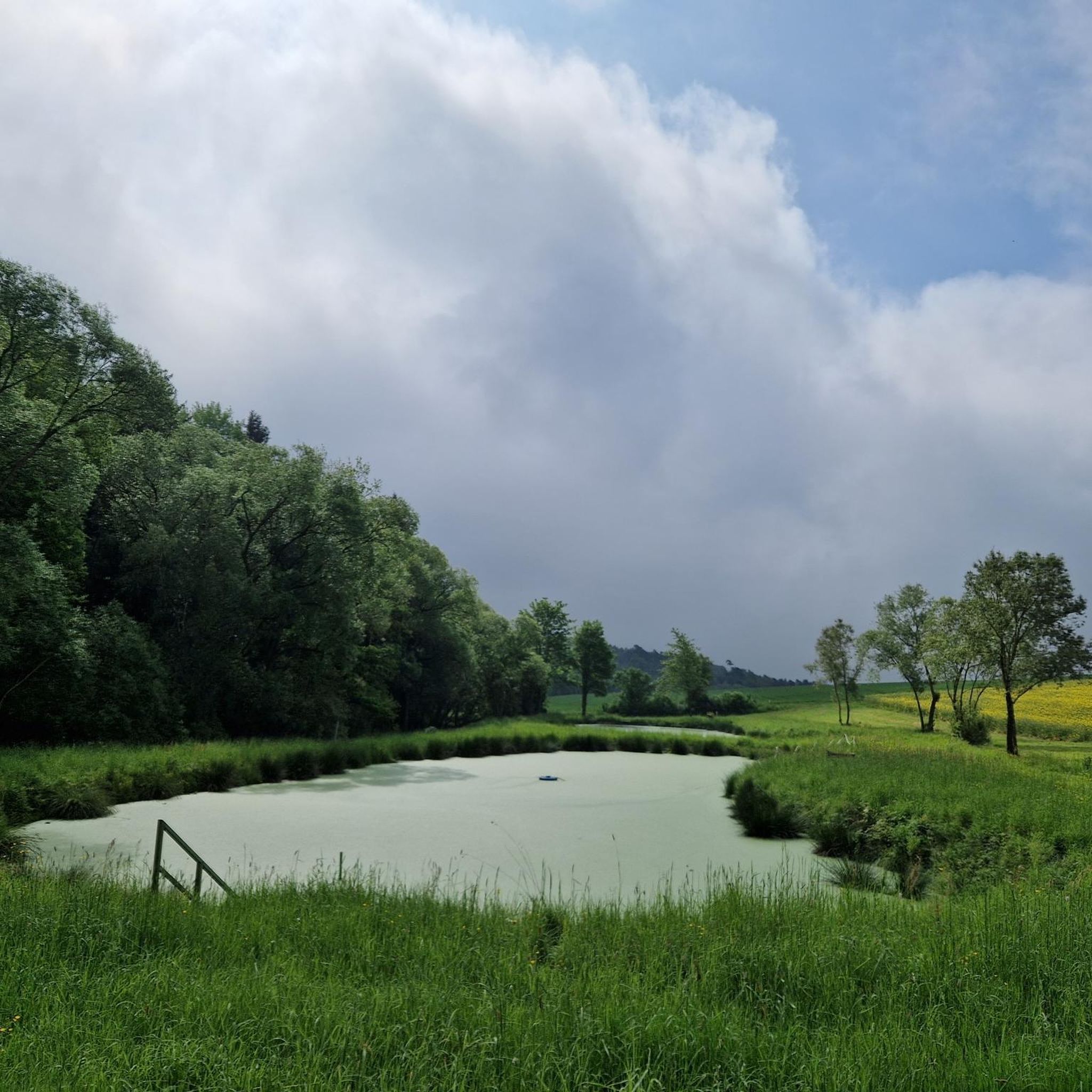
Evening sky over Schmerbach as a haven of peace and resilience hike at the end of May 2025. Drawing strength from tranquility.
0
0

Another place steeped in history. Today, a farm is located on the site.
0
0
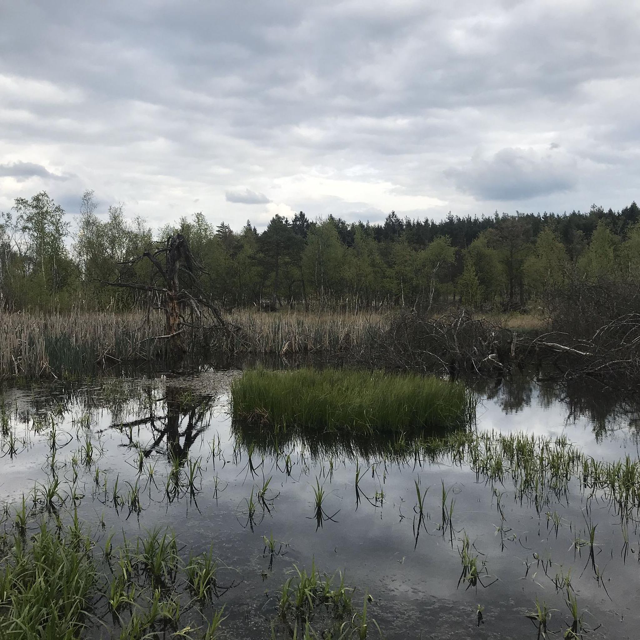
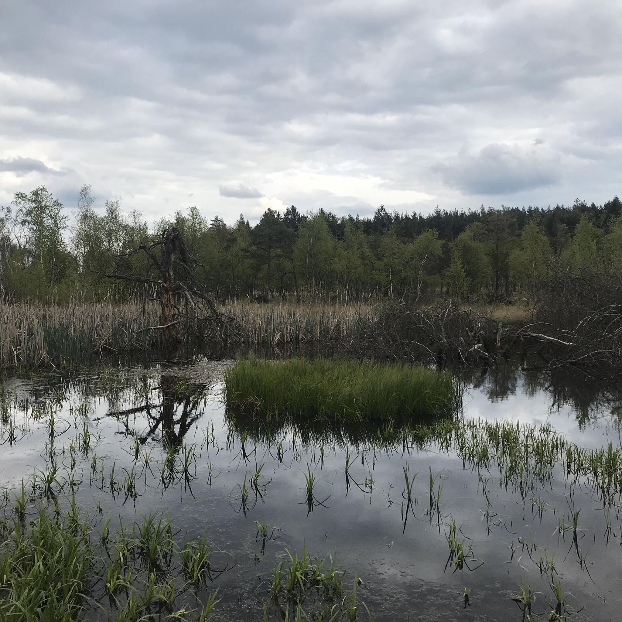
A detour to the moor is always worthwhile. Beautifully nestled, surrounded by unique flora and fauna.
0
1
Nice rest area. However, the doors are locked.
0
0
There's always something new to discover in the forest, old boundary stones, or even signposts. Each one has its own story and certainly has a lot to tell!
0
0
Frequently Asked Questions
How many hiking trails are available in Bischofswaldung Mit Stedtlinger Moor?
There are over 600 hiking routes available in Bischofswaldung Mit Stedtlinger Moor, catering to various preferences and skill levels. The komoot community has explored more than 8,500 tours in this diverse region.
What are the difficulty levels of hikes in Bischofswaldung Mit Stedtlinger Moor?
The hiking trails in Bischofswaldung Mit Stedtlinger Moor offer a range of difficulty levels. You'll find over 310 easy routes, nearly 300 moderate trails, and a selection of more challenging options for experienced hikers.
Are there any family-friendly hiking options in Bischofswaldung Mit Stedtlinger Moor?
Yes, the region offers many easily walkable paths suitable for families. The diverse landscape, with its unique moor ecosystems and natural beech forests, provides an engaging environment for children to explore. Look for shorter, less strenuous routes to ensure an enjoyable experience for everyone.
Can I bring my dog on the hiking trails in Bischofswaldung Mit Stedtlinger Moor?
Bischofswaldung Mit Stedtlinger Moor, being part of the Rhön Biosphere Reserve, is a natural area. While many trails are dog-friendly, it's crucial to keep dogs on a leash, especially in sensitive areas like the moor ecosystems, to protect wildlife and ensure a pleasant experience for all visitors. Always check local signage for specific regulations.
Are there circular hiking routes in Bischofswaldung Mit Stedtlinger Moor?
Yes, many routes in the area are designed as circular trails, allowing you to start and end at the same point. A popular example is the Stedtlinger Moor – Little Christmas Tree loop from Bischofswaldung mit Stedtlinger Moor, which offers an immersive experience through the unique moor ecosystems.
What kind of natural features can I expect to see while hiking?
The region is renowned for its remarkably preserved and rare moor ecosystems, including transition and quaking bogs. You'll also encounter natural beech forests, extensive meadows, and several streams like the Sülze, Schmerbach, and Elmbach. These features contribute to the area's significant ecological diversity and scenic beauty.
Are there any notable landmarks or viewpoints along the trails?
Hikers can discover several interesting points. The Stedtlinger Moor itself is a major natural highlight. You might also encounter historical markers like the DDR Border Stone, which is part of the DDR Border Stone – Schmerbach Stream loop. The nearby Lichtenburg castle ruin also serves as a popular starting point for longer hikes that incorporate the nature reserve.
Where can I park when visiting Bischofswaldung Mit Stedtlinger Moor for a hike?
Parking is generally available at common trailheads and starting points for hikes. For instance, the Lichtenburg castle ruin is a known starting point for many routes, and you can often find designated parking areas there or in nearby villages like Stedtlingen. Always look for official parking signs.
Is public transport available to reach the hiking areas?
While specific routes may vary, public transport options to villages surrounding Bischofswaldung Mit Stedtlinger Moor exist. It's advisable to check local bus schedules for connections to towns like Stedtlingen or Willmars, which can serve as access points to the hiking trails within the region.
What is the best time of year to go hiking in Bischofswaldung Mit Stedtlinger Moor?
The region offers unique experiences throughout the year. Spring brings blooming meadows, while summer provides lush green landscapes. Autumn showcases vibrant fall colors in the beech forests, and even winter can offer serene, snow-covered trails. The 'Land der offenen Fernen' provides breathtaking vistas in any season, but always be prepared for changing weather conditions.
What do other hikers enjoy most about the trails in Bischofswaldung Mit Stedtlinger Moor?
The area is highly rated by the komoot community, with an average score of 4.5 stars from over 2,200 reviews. Hikers frequently praise the unique moor landscapes, the tranquility of the natural beech forests, and the expansive, open views that define the 'Land der offenen Fernen'.
Are there any longer, more challenging hikes available?
While many routes are easy to moderate, the region also offers longer trails for those seeking more challenge. The Hutsberg Ruins – Heftenhof Deserted Village loop from Mellrichstadter Forst is a moderate, longer option that covers nearly 13 km with significant elevation gain, providing a more extensive exploration of the area's diverse terrain.
Most popular routes in Bischofswaldung Mit Stedtlinger Moor
Most popular attractions in Bischofswaldung Mit Stedtlinger Moor

Get inspired with the komoot mobile app


Explore more
Browse the best Hikes in other regions.
