The best cycling routes in Pennewitzer Teiche - Unteres Wohlrosetal
4.5
(3013)
12,921
riders
419
rides
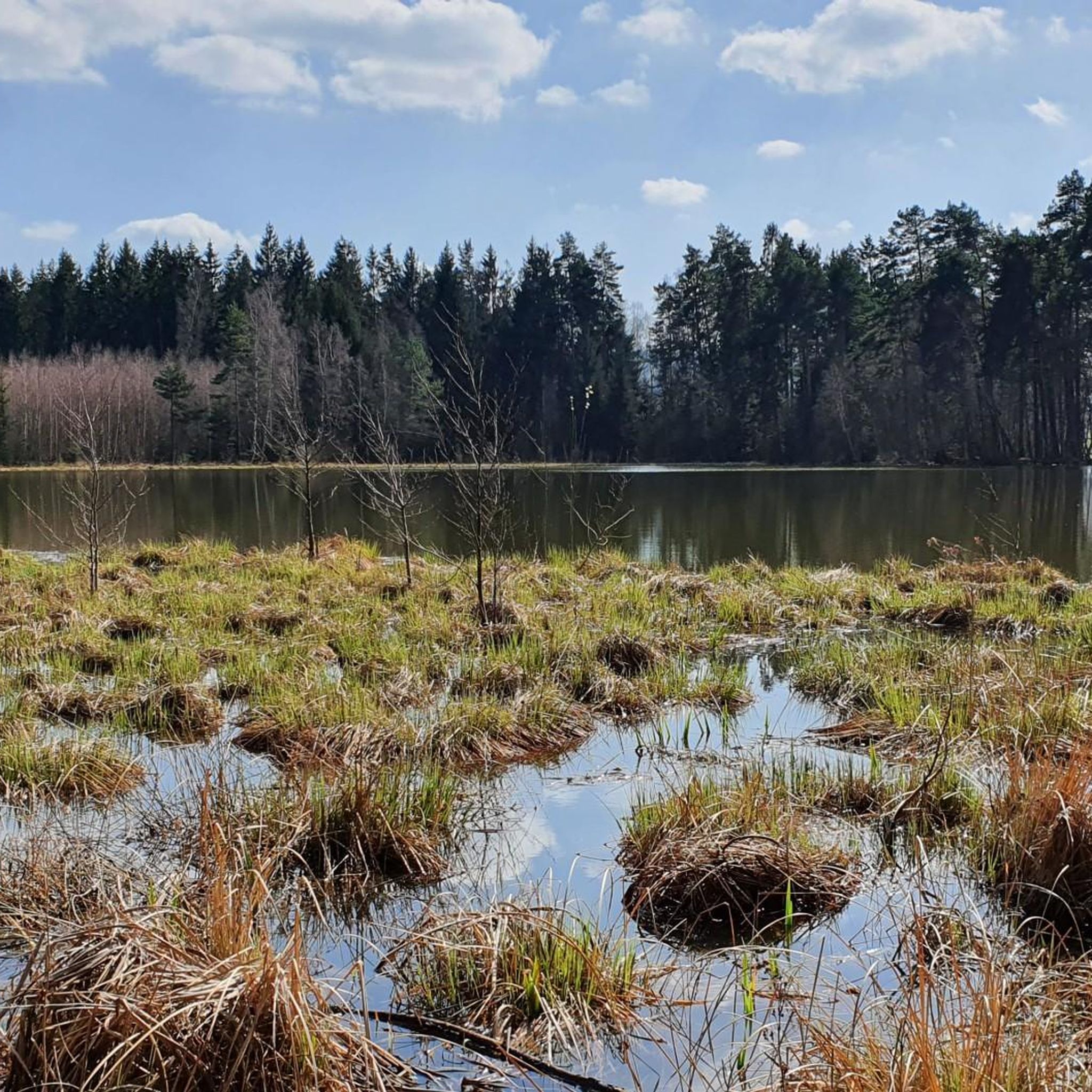
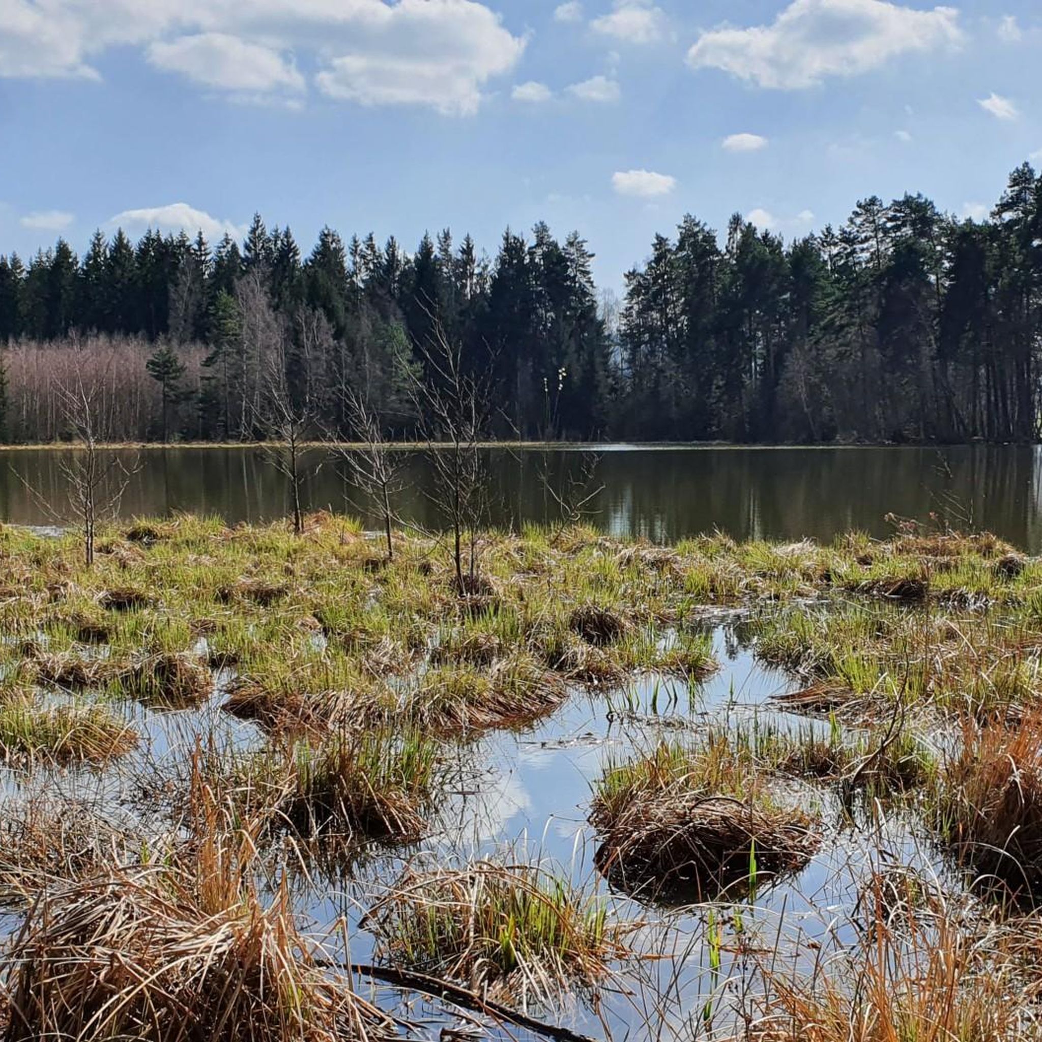
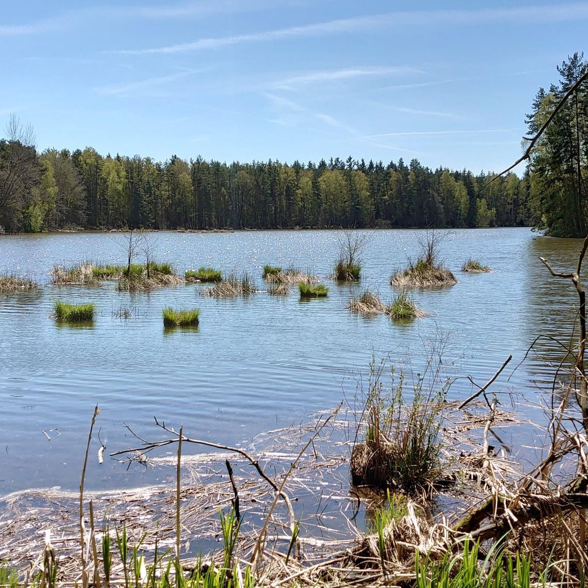
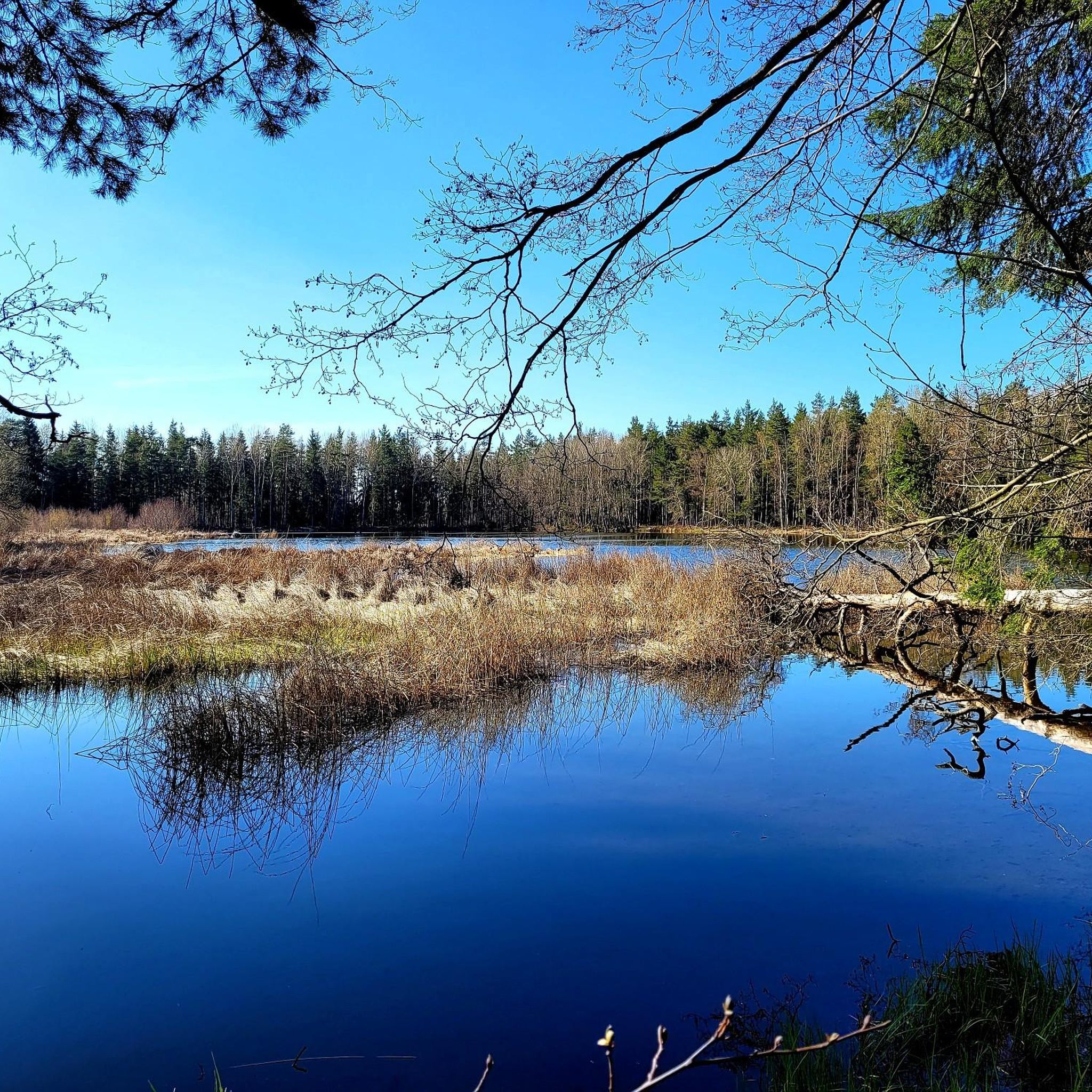
Touring cycling in Pennewitzer Teiche - Unteres Wohlrosetal offers routes through a landscape characterized by extensive water bodies and diverse forest ecosystems. The region features approximately 100 ponds and water-filled depressions, including the Lohmetal, Heideteich, and Esbachteich. Between these aquatic areas lies the Schönheide forest, which contains numerous water-filled depressions and moorland. This area is part of the Paulinzellaer Buntsandstein-Waldland natural region, providing varied terrain for cycling.
Best touring cycling routes in Pennewitzer Teiche - Unteres Wohlrosetal
- The most popular…
Last updated: May 27, 2026
5.0
(2)
16
riders
Moderate bike ride. Good fitness required. Mostly paved surfaces. Suitable for all skill levels.
4.0
(1)
3
riders
29.6km
02:10
510m
510m
Hard bike ride. Very good fitness required. Mostly paved surfaces. Suitable for all skill levels.

Sign up for free
3
riders
18.9km
01:30
280m
280m
Moderate bike ride. Good fitness required. Mostly paved surfaces. Suitable for all skill levels.
4.3
(6)
64
riders
33.2km
02:10
300m
300m
Moderate bike ride. Good fitness required. Mostly paved surfaces. Suitable for all skill levels.
4.3
(12)
73
riders
29.4km
01:53
240m
240m
Moderate bike ride. Good fitness required. Mostly paved surfaces. Suitable for all skill levels.
Get access to more routes and recommendations from other explorers.
Sign up for free
Already have an account?
Our route recommendations are based on thousands of hikes, rides, and runs completed by other people on komoot.
Start today with a free account
Your next adventure awaits.
Login or Signup
Popular around Pennewitzer Teiche - Unteres Wohlrosetal
Tips from the Community

Handmade seasonal decorative items are offered here.
0
0

A beautiful church in Pennewitz near the bike path.
1
0


Freight trains avoid this route because it's too steep. Therefore, it's not profitable.
1
0

Good views: Good hiking trails. Good descents... Good restaurants...
0
0

Nice view of the ICE route
3
0

It's nice to look at these seating options. Nice idea.
0
2

One of our favorite cycle paths, well developed, very scenic.
1
1
Frequently Asked Questions
How many touring cycling routes are available in Pennewitzer Teiche - Unteres Wohlrosetal?
The region offers a wide selection of touring cycling routes, with over 400 options available on komoot. These routes cater to various skill levels, including easy, moderate, and difficult paths.
What is the general difficulty level of touring cycling routes in this area?
The routes in Pennewitzer Teiche - Unteres Wohlrosetal offer a balanced mix of challenges. Approximately 98 routes are considered easy, 151 are moderate, and another 151 are difficult, ensuring options for cyclists of all experience levels.
Are there any family-friendly touring cycling routes in Pennewitzer Teiche - Unteres Wohlrosetal?
Yes, the region has numerous easy routes suitable for families. These often follow paths through the extensive water bodies and forests, providing a pleasant and safe environment for cyclists of all ages. Look for routes with lower elevation gain and shorter distances for a more relaxed family outing.
Can I find circular touring cycling routes in the Pennewitzer Teiche - Unteres Wohlrosetal region?
Absolutely. Many touring cycling routes in the area are designed as loops, allowing you to start and end at the same point. An example is the Ochsenbacher Pond – Gehren Castle Ruins loop from Pennewitzer Teiche - Unteres Wohlrosetal, which explores the characteristic ponds and forest paths.
What natural features or attractions can I see along the touring cycling routes?
The region is rich in natural beauty, characterized by approximately 100 ponds and water-filled depressions. You can explore the Lohmetal with its various ponds, the Heideteich, and the Esbachteich (also known as the Lily Pond). The Schönheide forest also features unique moorland environments. The Galgenteich is another notable water body you might encounter.
Are there any viewpoints or observation towers accessible by bike?
Yes, some routes lead to elevated points offering scenic views. For instance, the challenging Barigauer Turm Observation Tower – Galgenteich loop from Gehren includes climbs to an observation tower, providing panoramic vistas of the surrounding landscape and water bodies.
What is the best time of year for touring cycling in Pennewitzer Teiche - Unteres Wohlrosetal?
The region is enjoyable for touring cycling throughout the warmer months, from spring to autumn. Spring brings fresh greenery and blooming flora, while autumn offers vibrant fall colors, especially through the forest landscapes. Always check local weather conditions before heading out.
Are dogs allowed on the cycling routes in Pennewitzer Teiche - Unteres Wohlrosetal?
Generally, cycling is permitted on designated paths and roads within forests and open countryside. It is advisable to keep dogs on a leash, especially in nature reserve areas, to protect wildlife and ensure a pleasant experience for all users. Always respect local signage regarding pet regulations.
What do other touring cyclists say about the routes in this region?
The touring cycling routes in Pennewitzer Teiche - Unteres Wohlrosetal are highly regarded by the komoot community, boasting an average rating of 4.5 stars from over 2,800 reviews. Cyclists often praise the diverse forest landscapes, the tranquility of the numerous ponds, and the well-maintained paths that make for an enjoyable ride.
Are there any longer touring cycling options that connect to the Pennewitzer Teiche - Unteres Wohlrosetal area?
Yes, the renowned Ilmtalradweg (Ilm Valley Cycle Path) is easily accessible from the area. This 123-kilometer path offers a rich touring experience, featuring numerous castles, historical buildings, and museums, including UNESCO World Heritage sites in Weimar, providing excellent opportunities for extended rides.
Where can I park my car when visiting the cycling routes?
While specific parking areas are not detailed for every route, the region is generally accessible. Look for designated parking spots near trailheads or villages like Gehren. Many routes, such as the Pennewitz Airfield – Thuringian Forest Edge Route loop from Gehren, often start from locations with convenient access for vehicles.
Are there any cafes or restaurants along the touring cycling routes?
While the nature reserve itself is primarily natural, nearby towns and villages like Gehren will offer amenities such as cafes and restaurants where you can refuel. It's always a good idea to pack snacks and drinks, especially for longer rides, as services might not be directly on every trail.
What kind of terrain can I expect on the touring cycling routes?
The terrain in Pennewitzer Teiche - Unteres Wohlrosetal is varied, reflecting its location within the Paulinzellaer Buntsandstein-Waldland natural region. You can expect a mix of forest paths, gravel tracks, and paved sections, often winding through areas with extensive water bodies and unique moorland. Routes like the Höllteich – Ochsenbacher Pond loop from Gehren showcase this diverse landscape.
Most popular routes in Pennewitzer Teiche - Unteres Wohlrosetal
Most popular attractions in Pennewitzer Teiche - Unteres Wohlrosetal

Get inspired with the komoot mobile app


Explore more
Browse the best Cycling routes in other regions.
