The best MTB trails in Pennewitzer Teiche - Unteres Wohlrosetal
4.7
(1606)
4,825
riders
307
rides
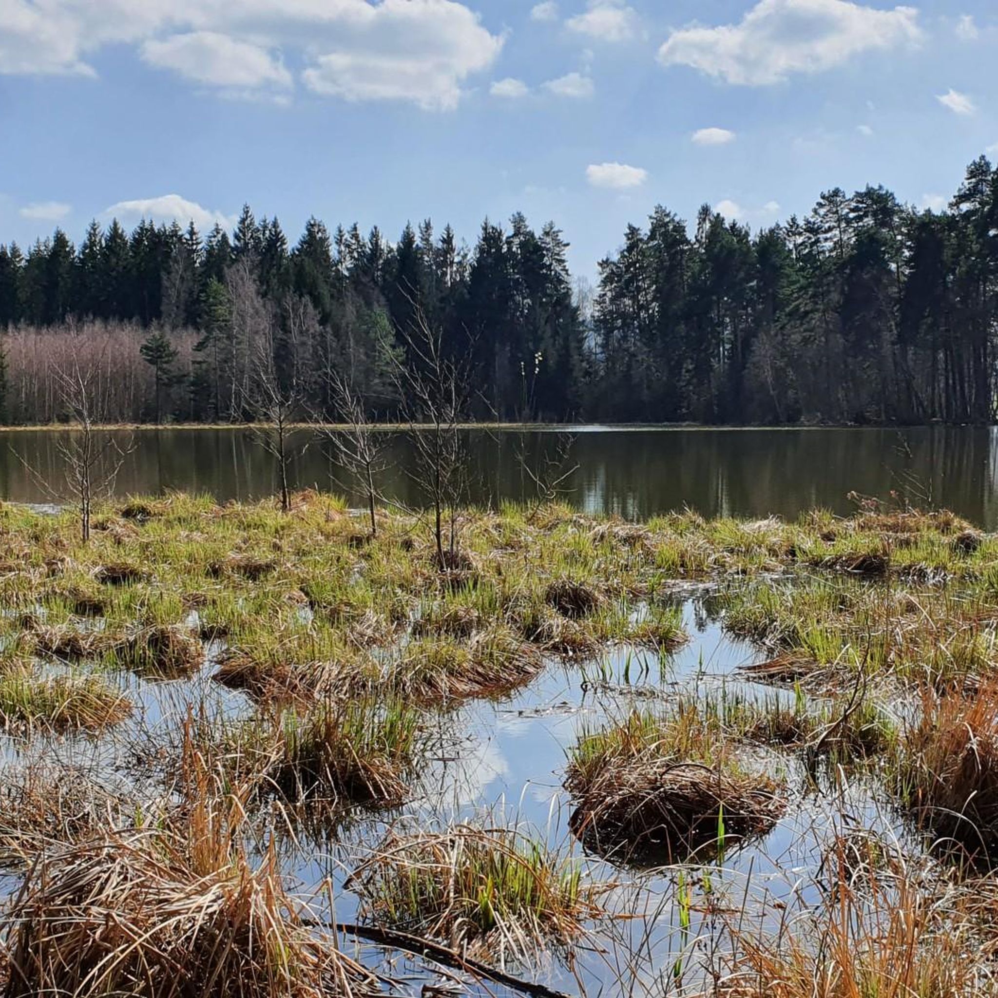
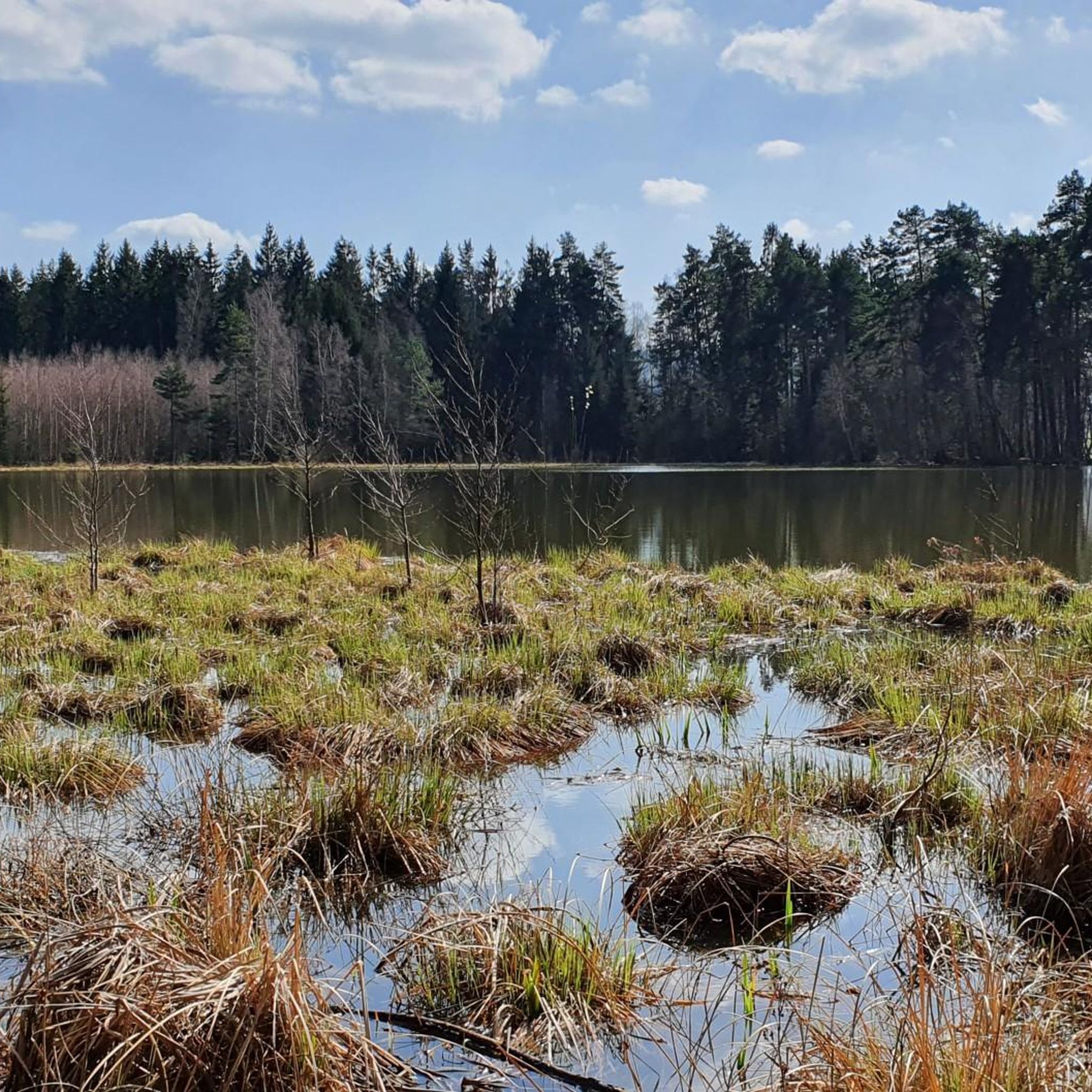
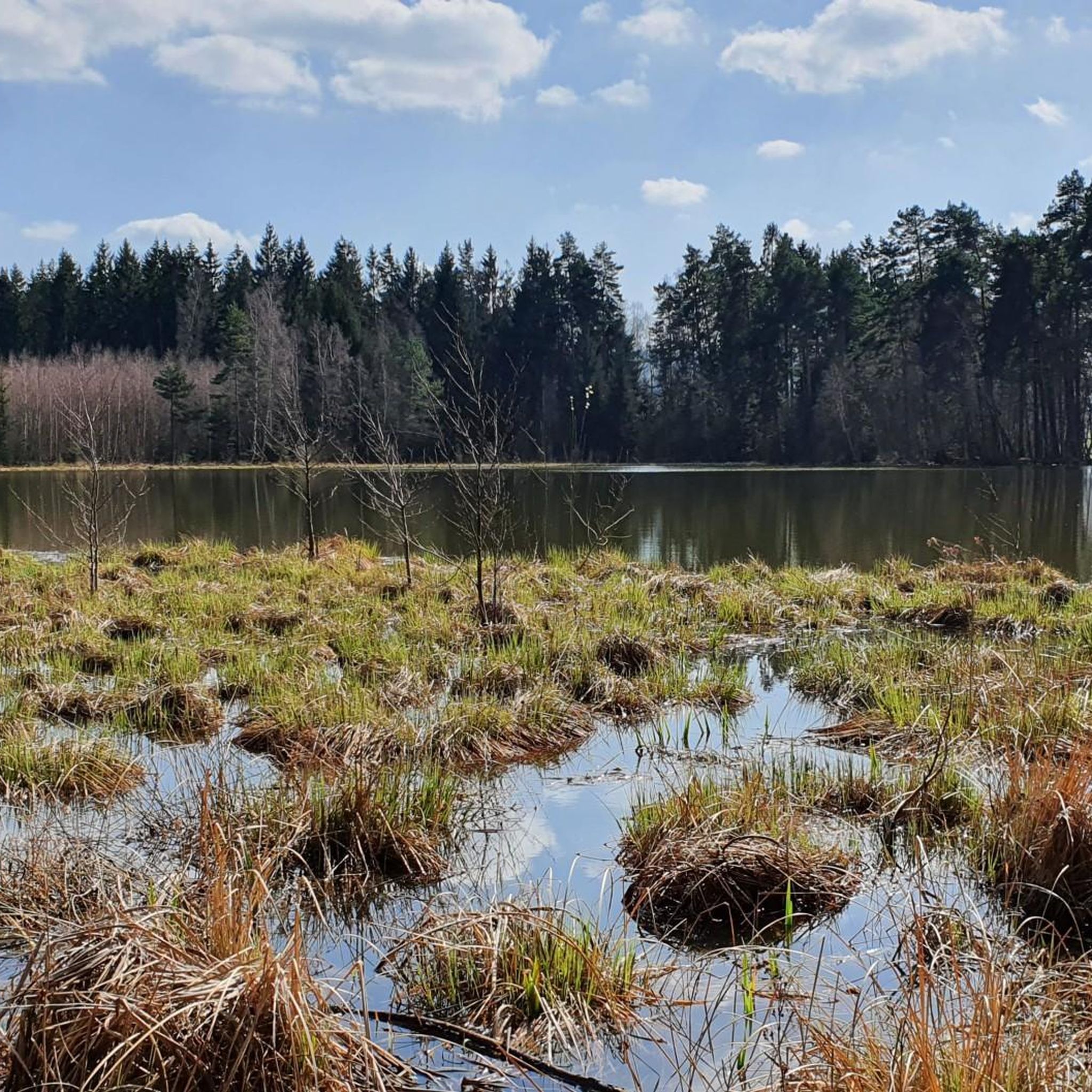
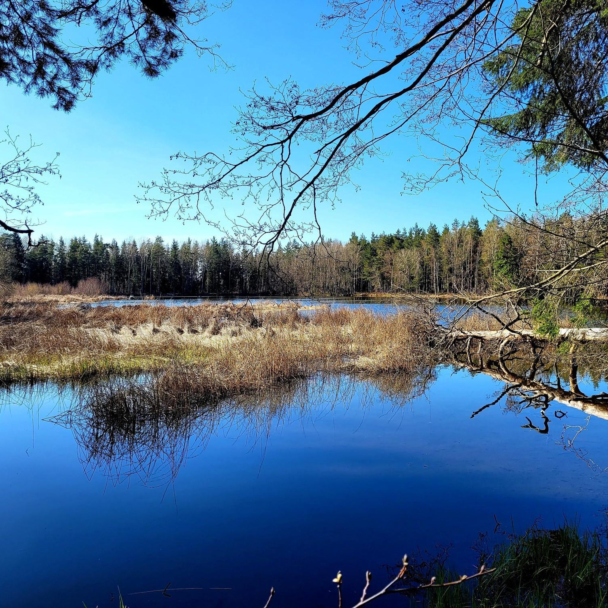
Mountain biking in Pennewitzer Teiche - Unteres Wohlrosetal offers diverse terrain within a designated nature reserve in Thuringia, Germany. The landscape is characterized by numerous ponds, water-filled craters known as "Sprenglöcher," and extensive forest areas like the Schönheide. Riders can expect paths through varied environments, including moorland forests and areas rich in water bodies, providing a mix of natural surfaces for mountain biking.
Best mountain bike trails in Pennewitzer Teiche - Unteres Wohlrosetal
- The most popular mountain bike trail is…
Last updated: July 12, 2026
5.0
(30)
50
riders
Easy mountain bike ride. Great for any fitness level. Suitable for all skill levels.
4.5
(10)
29
riders
27.7km
01:58
370m
370m
Moderate mountain bike ride. Good fitness required. Suitable for all skill levels.

Sign up for free
4.4
(7)
26
riders
20.2km
01:16
270m
270m
Easy mountain bike ride. Great for any fitness level. Suitable for all skill levels.
5.0
(2)
14
riders
36.0km
02:31
490m
490m
Moderate mountain bike ride. Good fitness required. Advanced riding skills necessary.
4.8
(4)
9
riders
Moderate mountain bike ride. Good fitness required. Advanced riding skills necessary.
Get access to more routes and recommendations from other explorers.
Sign up for free
Already have an account?
Our route recommendations are based on thousands of hikes, rides, and runs completed by other people on komoot.
Start today with a free account
Your next adventure awaits.
Login or Signup
Popular around Pennewitzer Teiche - Unteres Wohlrosetal
Tips from the Community

Shortly before Ilmenau, on the section of the Ilm cycle path along the former railway line from Langewiesen, this rest stop with a covered picnic shelter invites you to take a relaxing break. There are benches and a table here – ideal for a little refreshment in the shade before heading into town. A perfect stopover for cyclists and hikers who want to enjoy the last few meters to Ilmenau in a relaxed manner.
0
0
Just before Ilmenau, on the section of the Ilm Cycle Path along the former Langewiesen railway line, this rest area with a covered picnic hut invites you to take a relaxing break. Benches and a table are available here – ideal for a quick snack in the shade before heading into town. A perfect stopover for cyclists and hikers looking to enjoy the last few meters to Ilmenau.
0
0

Nice rest stop. 😄
1
0

The beautiful cabin invites you to linger. A toast to the builders
5
0

A very elaborately constructed mountain hut on the Rennsteig trail. Quietly located and ideal for a break.
4
0
Small campsite with plenty of greenery and spacious pitches for 12 campers. Electrical hookups, water and waste disposal facilities are available. Showers and restrooms are available at the "Fuchsbau" restaurant, right next to the campsite. The entrance to numerous mountain bike trails is right on the site.
1
0
Interesting bridge with a view of the train station.
1
0

Ilmenau -- Großbreitenbach, always happy to come back.
0
0
Frequently Asked Questions
How many mountain bike trails are available in Pennewitzer Teiche - Unteres Wohlrosetal?
There are over 320 mountain bike routes recorded in Pennewitzer Teiche - Unteres Wohlrosetal on komoot. This includes a diverse range of trails suitable for various skill levels.
What kind of terrain can I expect on the mountain bike trails in this region?
The terrain in Pennewitzer Teiche - Unteres Wohlrosetal is characterized by numerous ponds, water-filled craters known as 'Sprenglöcher,' and extensive forest areas like the Schönheide. You can expect paths through varied environments, including unique moorland forests and areas rich in water bodies, providing a mix of natural surfaces for mountain biking.
What is the overall difficulty level of mountain biking in Pennewitzer Teiche - Unteres Wohlrosetal?
The region offers a good mix of difficulties. Out of over 320 routes, 35 are rated as easy, 223 as moderate, and 62 as difficult. This means there are options for beginners looking for gentle rides and experienced riders seeking more challenging trails.
What do other mountain bikers say about the trails in Pennewitzer Teiche - Unteres Wohlrosetal?
The mountain bike routes in Pennewitzer Teiche - Unteres Wohlrosetal are highly rated by the komoot community, with an average score of 4.7 stars from over 1,500 reviews. Many users praise the varied scenery, including the numerous ponds and forested sections.
Are there any family-friendly mountain bike trails in the area?
Yes, there are several family-friendly options. For instance, the Gehren Castle Ruins – Ilmtal-Rennsteig Cycle Path loop from Gehren is an easy 12.5-mile (20.2 km) trail that leads through woodlands and along a cycle path, suitable for a pleasant family outing.
Can I bring my dog on the mountain bike trails?
As Pennewitzer Teiche - Unteres Wohlrosetal is a designated nature reserve, dogs are generally welcome but must be kept on a leash to protect wildlife and the natural environment. Always check local signage for specific rules on individual trails.
What are some interesting landmarks or natural features to see along the mountain bike trails?
The region is rich in natural beauty. You can encounter numerous ponds, such as the Lily Pond (Seerosenteich) known for its extensive water lily cover, or the Galgenteich. The Ilmtal Cycle Path itself offers scenic views, and you might pass by the Waldesruh Hut at Pfannritzer Leithe, a nice spot for a break.
Are there any circular mountain bike routes?
Yes, many routes in the area are circular. An example is the moderate Ochsenbacher Pond – Höllteich loop from Gehren, which is 17.2 miles (27.7 km) and navigates through forested areas and past several ponds, offering varied scenery.
What is the best time of year for mountain biking in Pennewitzer Teiche - Unteres Wohlrosetal?
Spring through autumn generally offers the best conditions for mountain biking. The region's numerous water bodies and moorland areas can be particularly beautiful in spring with blooming flora, and in autumn with vibrant foliage. Summers are also pleasant, but always be prepared for changing weather conditions.
Are there any routes that offer good viewpoints?
While specific viewpoints are not explicitly highlighted as elevated peaks, the varied terrain and forest clearings along routes like the View of the Ilmtal Bridge – Ilmtal Cycle Path Near Ilmenau loop from Gehren can offer picturesque views of the Ilmtal valley and the surrounding natural landscape.
Is there public transport access to the mountain bike trails?
While specific public transport connections directly to trailheads are not detailed, towns like Gehren and Gräfinau-Angstedt, which serve as starting points for several routes, typically have regional bus connections. It's advisable to check local transport schedules for the most up-to-date information.
Where can I find parking for mountain biking?
Many of the routes start from towns or villages like Gehren and Gräfinau-Angstedt, where public parking is usually available. Look for designated parking areas near trailheads or town centers. Specific parking information is often available on individual komoot tour pages.
Are there any longer, more challenging mountain bike tours available?
For those seeking a longer and more challenging ride, the Langewiesen Viaduct – Erhardstanne Shelter loop from Gräfinau-Angstedt is a moderate 22.3-mile (35.9 km) route with significant elevation gain, offering a more demanding experience through the diverse landscape.
Most popular routes in Pennewitzer Teiche - Unteres Wohlrosetal
Most popular attractions in Pennewitzer Teiche - Unteres Wohlrosetal

Get inspired with the komoot mobile app


Explore more
Browse the best MTB trails in other regions.
