The best walks and hikes in Breiter Berg Bei Haselstein
4.7
(3100)
10,890
hikers
600
hikes
Hiking in Breiter Berg Bei Haselstein offers a diverse landscape characterized by rolling hills, dense woodlands, and historical landmarks. The region, part of a natural park in Landkreis Fulda, features varied terrain suitable for different hiking abilities. Trails often lead to scenic viewpoints and past cultural sites, providing a mix of natural beauty and historical interest.
Best hiking trails in Breiter Berg Bei Haselstein
- The most popular hiking route is St. Michael Church, Großenbach – Via Regia Lookout Tower loop…
Last updated: July 4, 2026
4.9
(9)
27
hikers
Moderate hike. Good fitness required. Mostly accessible paths. Sure-footedness required.
4.3
(9)
26
hikers
Moderate hike. Good fitness required. Mostly accessible paths. Sure-footedness required.

Sign up for free
4.5
(8)
12
hikers
6.51km
01:49
130m
130m
Easy hike. Great for any fitness level. Easily-accessible paths. Suitable for all skill levels.
5.0
(1)
4
hikers
Hard hike. Very good fitness required. Easily-accessible paths. Suitable for all skill levels.
5.0
(1)
4
hikers
Moderate hike. Good fitness required. Mostly accessible paths. Sure-footedness required.
Get access to more routes and recommendations from other explorers.
Sign up for free
Already have an account?
Our route recommendations are based on thousands of hikes, rides, and runs completed by other people on komoot.
Start today with a free account
Your next adventure awaits.
Login or Signup
Tips from the Community

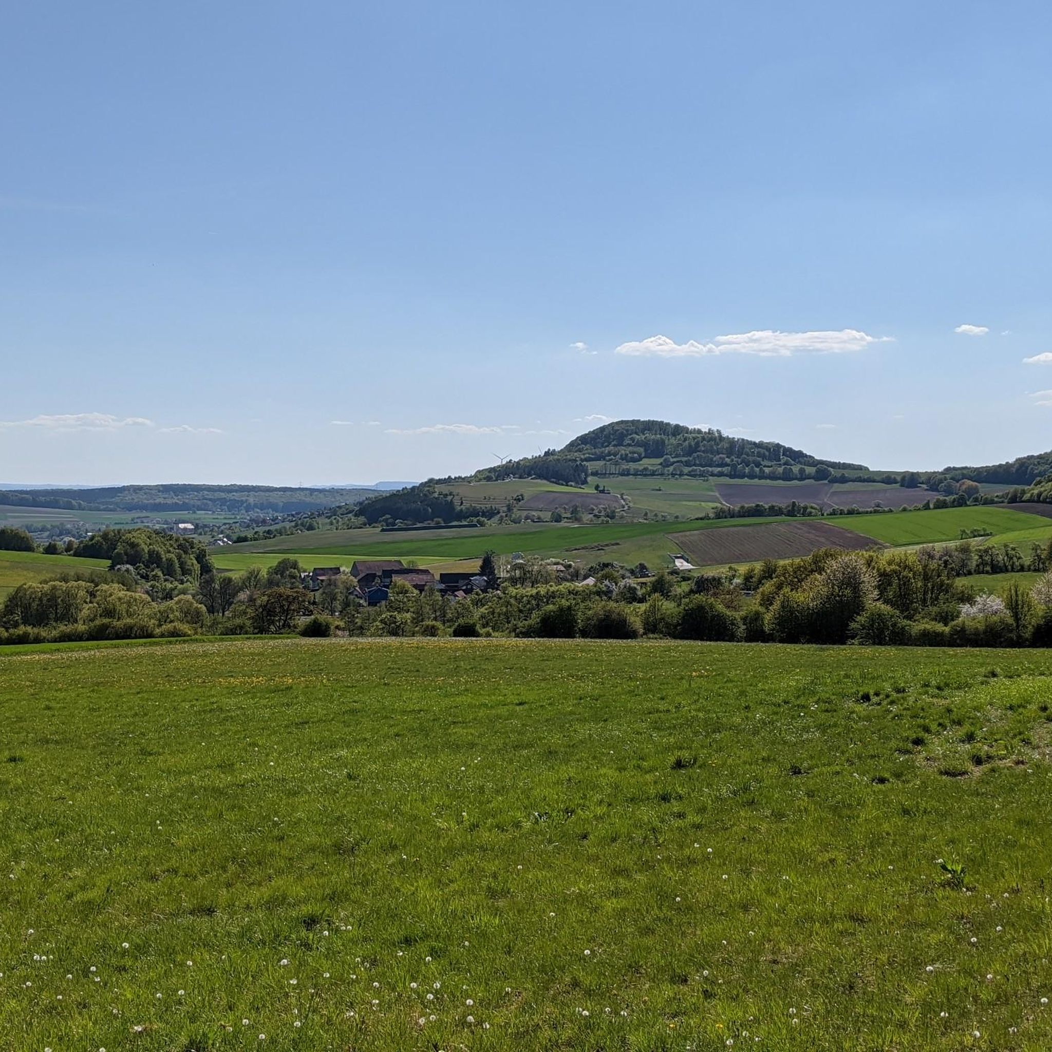
In the background, you can see the Rhön Biosphere Reserve.
1
0
After the "fall of the Wall" on November 9, 1989, there were even around 6000 dogs that suddenly became orphaned due to their unemployment and thus uselessness. Previously, they had been part of the GDR's border protection as so-called 'Mauerhunde' (wall dogs). The German Shepherd was particularly popular as a wall dog, although other large shepherd dogs, Rottweilers, Great Danes, and Giant Schnauzers were also trained. Their task was to guard at difficult-to-access or unclear border sections and to alert republic fugitives so that the border patrol could catch them. For this purpose, dog runs were created, in which the animals moved on a leash about 5 meters long, which in turn was attached to a 70 to 100 meter long wire rope. Source: https://gudog.de/blog/passierte-mit-den-mauerhunden-nach-der-wiedervereinigung
1
0

Facility located on the former border.
0
0
Beautiful old border path.
0
0

History within reach
0
0

A piece of history…
0
0

Not just a parking lot, but also an idyllic resting spot! The ancient linden tree provides shade and invites you to linger.
0
0
Idyllically situated picnic bench with a wonderful view. Unfortunately, we couldn't sit down today: Freshly painted! Very pleasing to see that the rest areas are being used and properly maintained.
0
0
Frequently Asked Questions
What kind of terrain can I expect when hiking in Breiter Berg Bei Haselstein?
Breiter Berg Bei Haselstein offers a diverse landscape characterized by rolling hills and dense woodlands. You'll find varied terrain suitable for different hiking abilities, often leading to scenic viewpoints and past cultural sites, providing a mix of natural beauty and historical interest.
How many hiking trails are available in Breiter Berg Bei Haselstein?
There are over 590 hiking routes in Breiter Berg Bei Haselstein. This includes more than 310 easy trails, 250 moderate routes, and 20 more challenging options, ensuring there's something for every hiker.
Are there easy or beginner-friendly hikes in Breiter Berg Bei Haselstein?
Yes, Breiter Berg Bei Haselstein offers numerous easy hikes suitable for beginners. An excellent option is the View of Spahl – Heilige Hauk loop from Spahl, a 4.0-mile (6.5 km) trail that takes about 1 hour 49 minutes to complete, offering scenic views.
What do other hikers enjoy most about the trails in Breiter Berg Bei Haselstein?
The trails in Breiter Berg Bei Haselstein are highly rated by the komoot community, with an average score of 4.7 stars from over 2,700 reviews. Hikers frequently praise the well-maintained paths, the blend of natural scenery with historical landmarks, and the panoramic views from various lookout points.
Are there any circular walks in Breiter Berg Bei Haselstein?
Many of the hiking routes in Breiter Berg Bei Haselstein are circular, allowing you to start and end at the same point. Examples include the St. Michael Church, Großenbach – Via Regia Lookout Tower loop and the Haselstein Castle Ruins – Große Ganskuppe loop.
What historical landmarks or viewpoints can I see along the trails?
The region is rich in historical and scenic points of interest. You can explore the Haselstein Castle Ruins, ascend to the Via Regia Lookout Tower for panoramic views, or visit the Point Alpha Memorial, a significant historical site.
Is Breiter Berg Bei Haselstein suitable for family hikes?
Yes, the region offers many trails suitable for families, especially the easier routes. The varied landscape and points of interest like castle ruins or lookout towers can make for an engaging experience for children. Consider shorter, less strenuous loops.
What is the best time of year to go hiking in Breiter Berg Bei Haselstein?
Spring, summer, and autumn are generally the best seasons for hiking in Breiter Berg Bei Haselstein. Spring brings blooming flora, summer offers lush greenery, and autumn provides stunning fall foliage. Always check local weather conditions before heading out.
Are dogs allowed on the hiking trails in Breiter Berg Bei Haselstein?
Most trails in Breiter Berg Bei Haselstein are dog-friendly, but it's always advisable to keep your dog on a leash, especially in nature reserve areas or near wildlife. Be sure to carry water for your pet and clean up after them.
Where can I find parking for hiking trails in Breiter Berg Bei Haselstein?
Parking is typically available at trailheads or designated hiking car parks within the region. Many routes, especially those starting from villages or popular attractions, will have clear parking options. It's recommended to check the specific route details on komoot for parking information.
Can I access hiking trails in Breiter Berg Bei Haselstein using public transport?
While some trailheads might be accessible by local bus services, public transport options can be limited in rural areas like Breiter Berg Bei Haselstein. It's best to research specific bus routes and schedules in advance if you plan to rely on public transport for access.
Are there any cafes or refreshment stops along the hiking routes?
Depending on the specific route, you may find small cafes, guesthouses, or traditional German 'Gasthäuser' in nearby villages or occasionally along longer trails. It's always a good idea to pack sufficient water and snacks, especially for routes that venture deeper into the woodlands.
Most popular routes in Breiter Berg Bei Haselstein

Get inspired with the komoot mobile app


Explore more
Browse the best Hikes in other regions.
