The best MTB trails in Nsg Buchhellerquellgebiet
4.6
(3935)
9,851
riders
396
rides
Mountain biking in Nsg Buchhellerquellgebiet offers a network of trails within a natural park setting in Kreis Siegen-Wittgenstein. The region features undulating terrain with significant elevation changes, characteristic of its position. Riders can expect to navigate through forested areas and valleys, with routes often incorporating natural features. The landscape provides varied surfaces suitable for mountain biking.
Best mountain bike trails in Nsg Buchhellerquellgebiet
- The most popular mountain bike trail is Hasenbahnhof Shelter – Seitenstein Basalt Formation loop from Buchhellerquellgebiet,…
Last updated: October 8, 2026
4.9
(21)
45
riders
44.0km
03:06
560m
560m
Moderate mountain bike ride. Good fitness required. Advanced riding skills necessary.
4.7
(11)
26
riders
34.6km
02:40
580m
580m
Moderate mountain bike ride. Good fitness required. Suitable for all skill levels.

4.8
(14)
17
riders
Moderate mountain bike ride. Good fitness required. Suitable for all skill levels.
5
riders
37.2km
02:51
570m
570m
Moderate mountain bike ride. Good fitness required. Advanced riding skills necessary.
3.0
(1)
4
riders
27.4km
01:57
360m
360m
Moderate mountain bike ride. Good fitness required. Suitable for all skill levels.
Get access to more routes and recommendations from other explorers.
Already have an account?
Our route recommendations are based on thousands of hikes, rides, and runs completed by other people on komoot.
Start today with a free account
Your next adventure awaits.
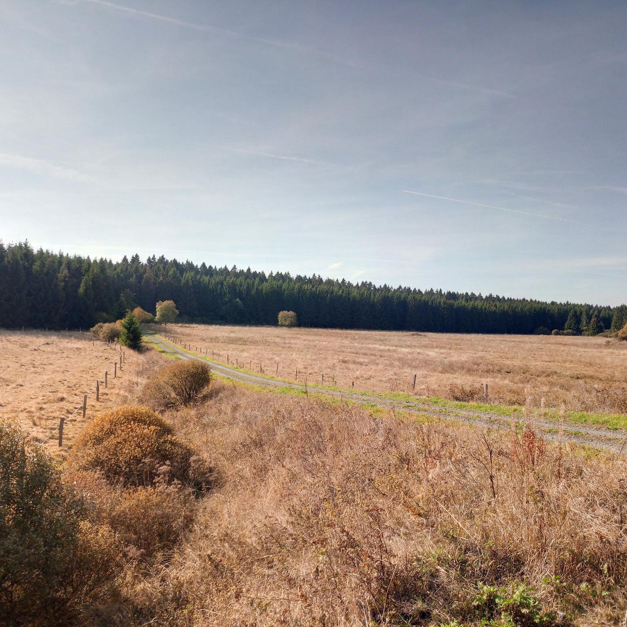
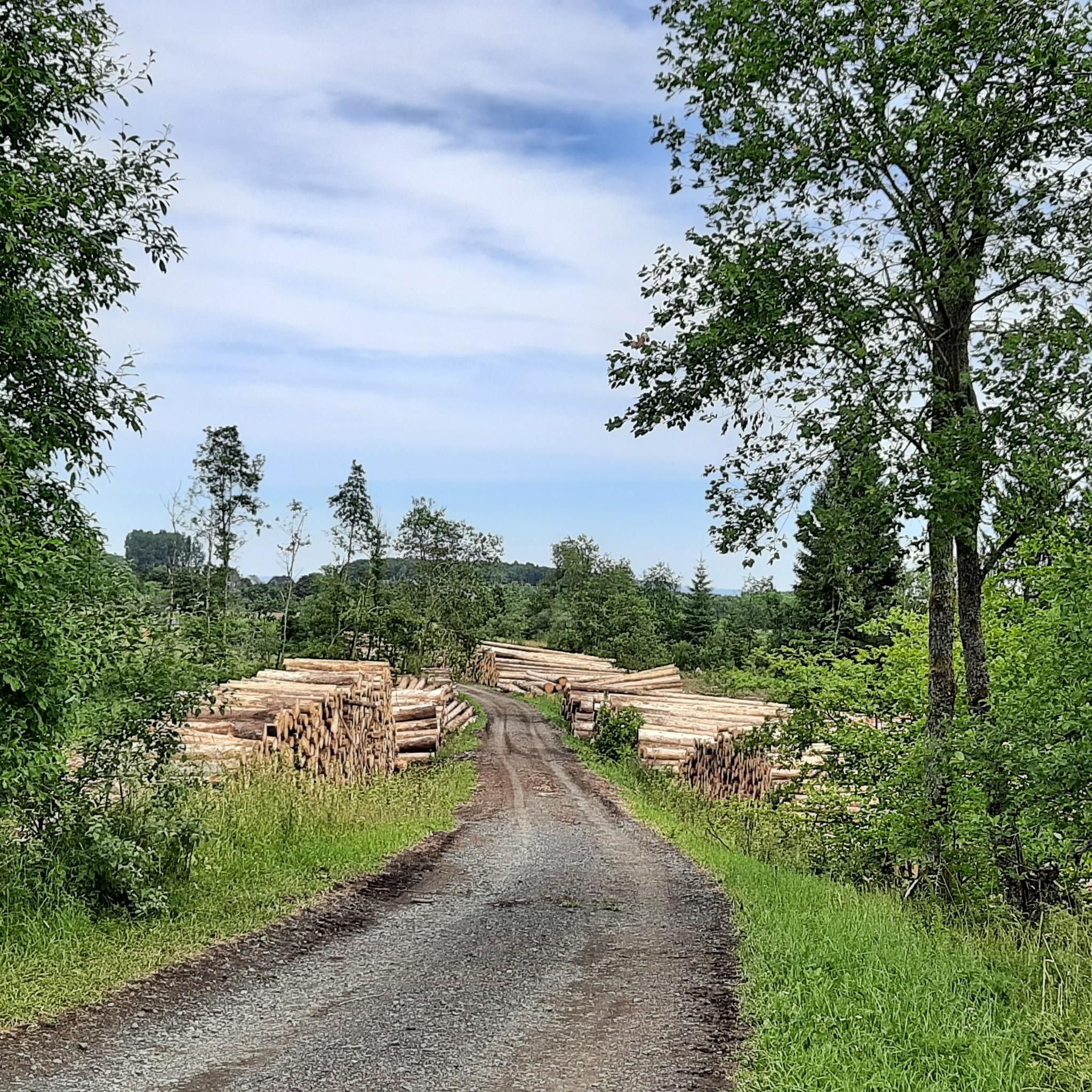

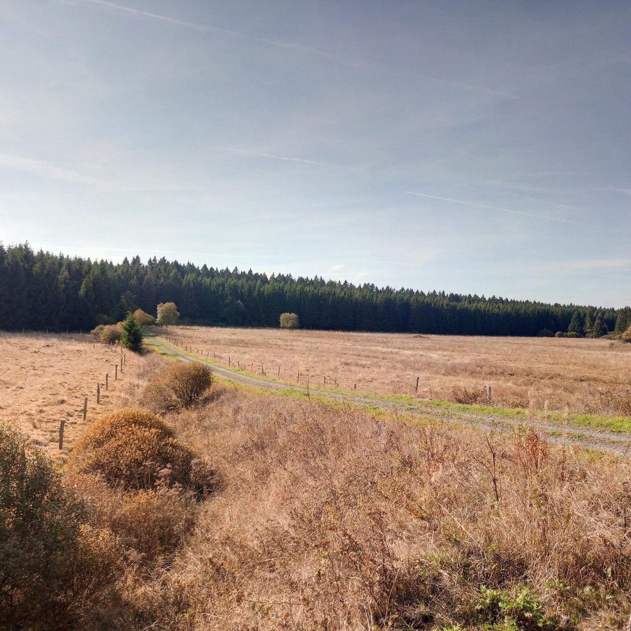

Tips from the Community

Top views into the Daadener Land.
0
0
Top valuable former military training area worth protecting.
0
0
Top tree avenue on the road, nowadays very rarely seen - for traffic safety reasons.
0
0
Top basalt formation on the edge of the Stegskopf.
0
0

This is all about volcanic rocks
0
0
Really very beautiful view :-)
0
0
Small crossing over the stream
0
0
Frequently Asked Questions
What is the overall difficulty level of mountain bike trails in Nsg Buchhellerquellgebiet?
Nsg Buchhellerquellgebiet offers a diverse range of mountain bike trails suitable for various skill levels. Out of nearly 400 routes, you'll find approximately 78 easy trails, 262 moderate trails, and 50 difficult trails, ensuring options for beginners to experienced riders.
Are there any family-friendly mountain bike trails in Nsg Buchhellerquellgebiet?
Yes, Nsg Buchhellerquellgebiet has a good selection of easy mountain bike trails that are suitable for families. These routes typically feature less challenging terrain and elevation changes, allowing for a more relaxed experience. Look for trails marked as 'easy' when planning your family outing.
What is the typical length and duration of mountain bike trails in this region?
Trail lengths and durations vary significantly. For example, the popular Hasenbahnhof Shelter – Seitenstein Basalt Formation loop is about 44.2 km (27.4 miles) and takes around 3 hours 50 minutes. Shorter options are available, such as the difficult Beautiful view – Trödelsteine Summit Cross loop, which is 9.4 km (5.8 miles) and can be completed in about 1 hour.
Are there mountain bike trails that form a loop in Nsg Buchhellerquellgebiet?
Many of the mountain bike routes in Nsg Buchhellerquellgebiet are designed as loops, offering convenient starting and ending points. Examples include the Alte Mühle Burbach-Lippe – Buchheller Valley loop and the Elkenrother Weiher – Stegskopf Nature Area loop, allowing you to return to your starting point without retracing your path.
What are the trail conditions like for mountain biking in Nsg Buchhellerquellgebiet?
The trails in Nsg Buchhellerquellgebiet traverse forested areas and valleys, featuring varied surfaces. Riders can expect undulating terrain with significant elevation changes. Conditions can vary with weather, so it's always advisable to check local forecasts before heading out, especially after rain, which can make some sections muddy.
When is the best time of year for mountain biking in Nsg Buchhellerquellgebiet?
The spring, summer, and early autumn months generally offer the best conditions for mountain biking in Nsg Buchhellerquellgebiet. During these seasons, the weather is typically milder, and the trails are less likely to be affected by snow or heavy mud, providing a more enjoyable riding experience through the forested landscapes.
What do other mountain bikers enjoy most about the trails in Nsg Buchhellerquellgebiet?
The mountain bike trails in Nsg Buchhellerquellgebiet are highly rated by the komoot community, with an average score of 4.6 stars from over 3000 reviews. Riders often praise the varied terrain, the natural park setting, and the well-integrated routes that showcase the region's forested hills and river valleys.
Are there any viewpoints or scenic spots along the mountain bike trails?
Yes, the region's undulating terrain and forested areas offer several opportunities for scenic views. While specific viewpoints are not detailed for every route, trails like the View of the Westerwald – Löhnfeld Trail loop suggest panoramic vistas. The natural park setting itself provides a picturesque backdrop for your ride.
Can I find cafes or places to stop for refreshments near the mountain bike trails?
While the guide focuses on the trails themselves, the region of Kreis Siegen-Wittgenstein has various small towns and villages. It's recommended to check maps or local information for cafes and refreshment stops in nearby communities like Burbach or other settlements close to your chosen starting point.
Is winter mountain biking possible in Nsg Buchhellerquellgebiet?
Winter mountain biking in Nsg Buchhellerquellgebiet can be challenging due to potential snow, ice, and colder temperatures. While some trails might be accessible, conditions can be unpredictable. It's crucial to check local weather and trail reports, use appropriate gear, and exercise caution if riding during winter months.
Where can I find parking for mountain biking in Nsg Buchhellerquellgebiet?
Specific parking locations are not detailed for every trail, but as a natural park area, there are often designated parking spots at trailheads or in nearby villages that serve as access points. It's advisable to check the starting points of individual komoot tours for suggested parking options.
Most popular routes in Nsg Buchhellerquellgebiet

Get inspired with the komoot mobile app


Explore more
Browse the best MTB trails in other regions.
