The best running trails in Weier- und Winterbach
4.4
(457)
2,972
runners
293
runs
Jogging routes in Weier- und Winterbach traverse a diverse natural landscape, characterized by the picturesque valleys of the Weierbach and Winterbach streams. These streams are often bordered by riparian trees and feature basalt blocks, notably within the scenic Winterbach gorge. The region offers a mix of greenland, forests, hedges, and groves, with terrain gradually ascending to the basalt plateau of the Westerwald, providing varied elevations for runners.
Best jogging routes in Weier- und Winterbach
- The most popular jogging route is…
Last updated: July 5, 2026
4.5
(12)
22
runners
5.41km
00:34
70m
70m
Moderate run. Good fitness required. Mostly paved surfaces. Suitable for all skill levels.
3.0
(1)
5
runners
11.3km
01:20
210m
210m
Moderate run. Good fitness required. Mostly paved surfaces. Suitable for all skill levels.

Sign up for free
5
runners
5.01km
00:33
80m
80m
Moderate run. Good fitness required. Mostly paved surfaces. Suitable for all skill levels.
4
runners
Hard run. Good fitness required. Sure-footedness, sturdy shoes and alpine experience required.
5
runners
Moderate run. Good fitness required. Mostly paved surfaces. Suitable for all skill levels.
Get access to more routes and recommendations from other explorers.
Sign up for free
Already have an account?
Our route recommendations are based on thousands of hikes, rides, and runs completed by other people on komoot.
Start today with a free account
Your next adventure awaits.
Login or Signup
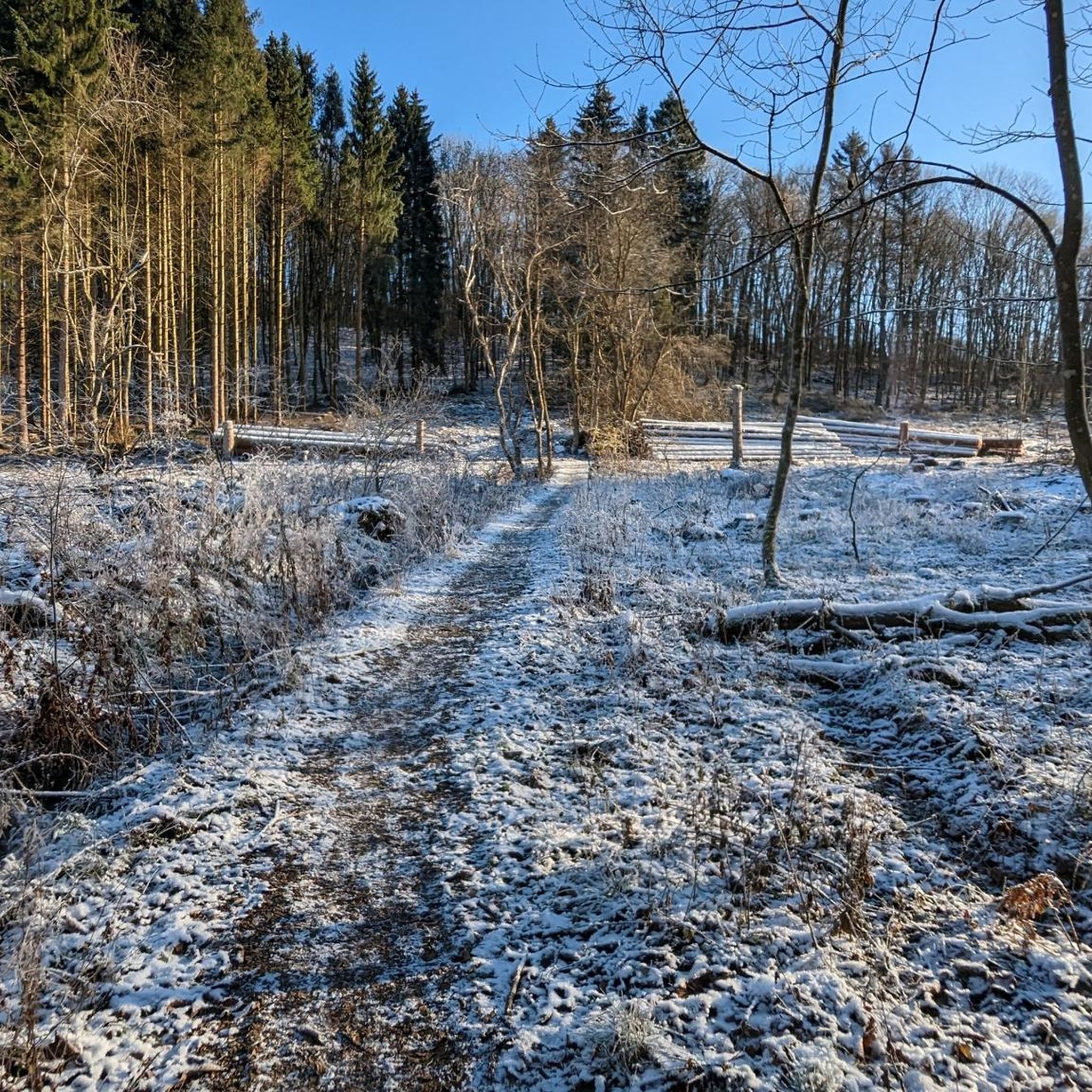
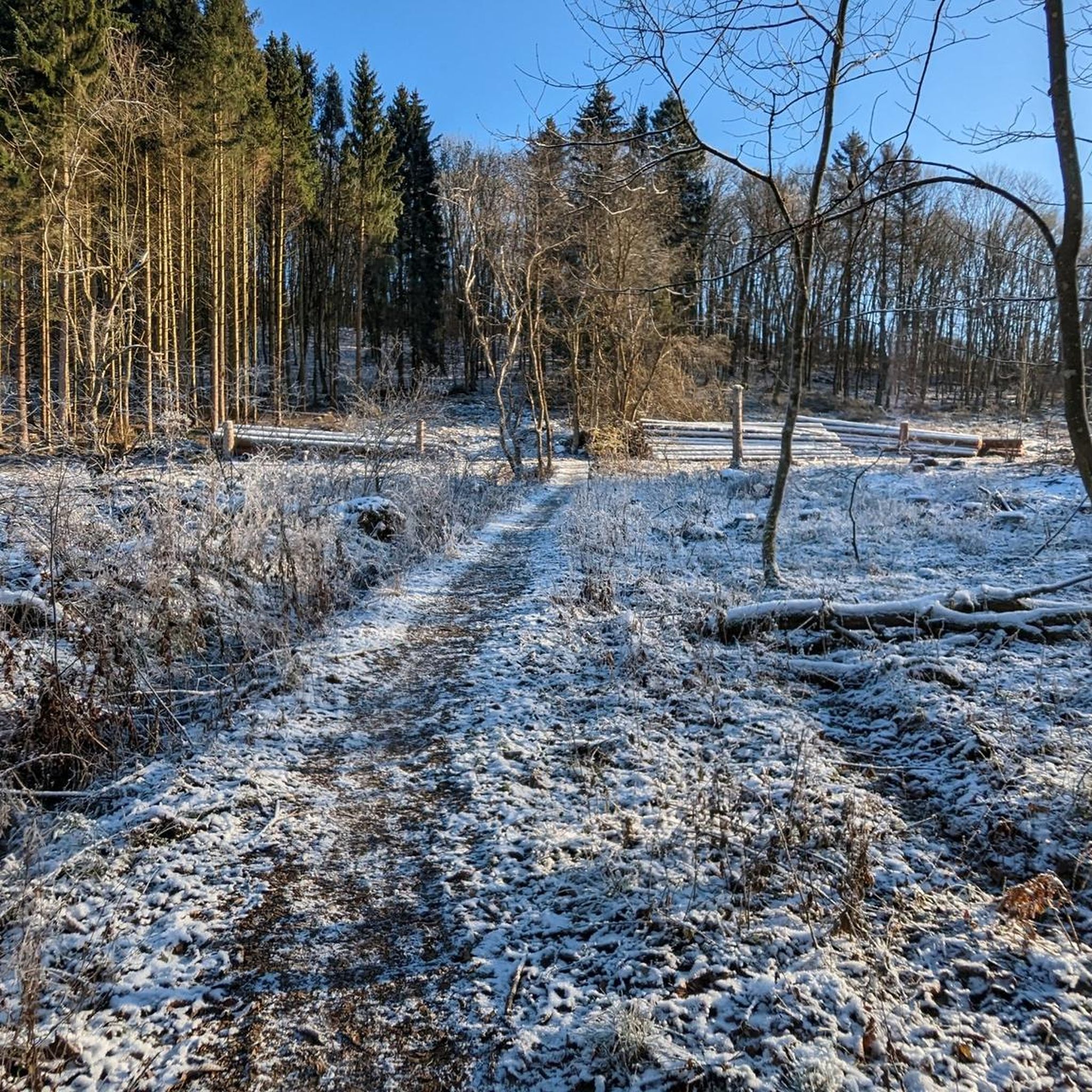
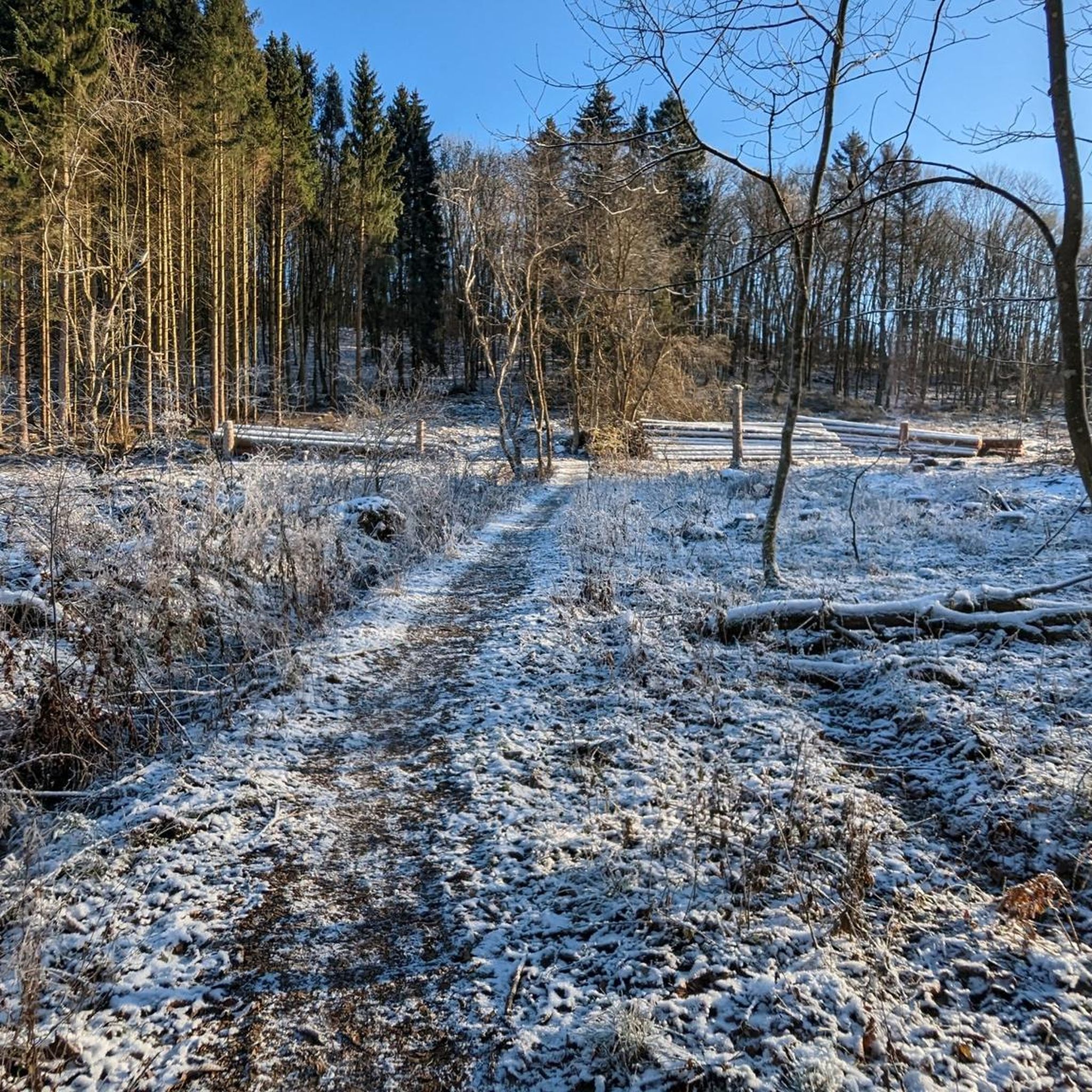
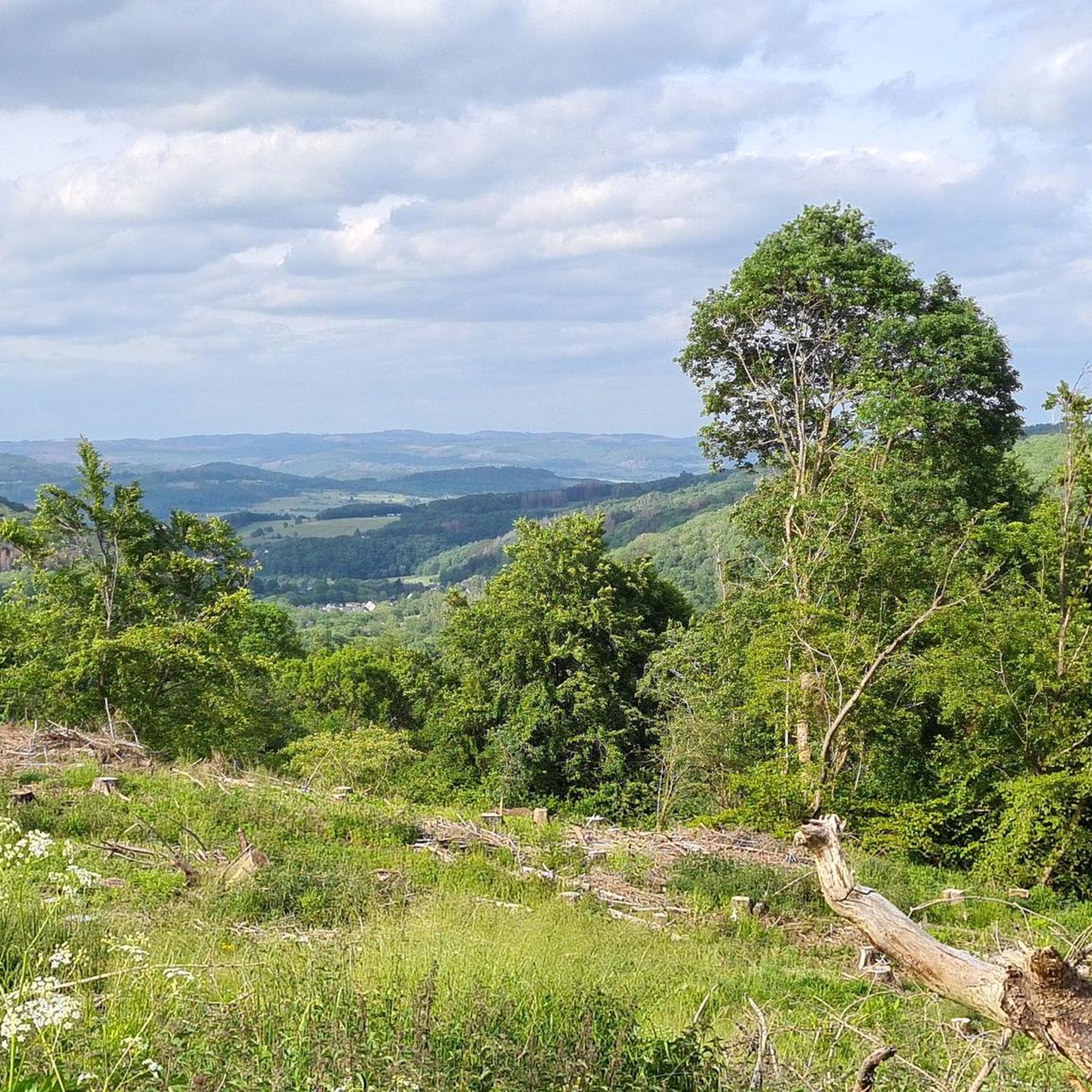

Tips from the Community

Very idyllic quiet spot in the shade
0
0

A place that has completely changed in recent years. But the stone towers are already growing again.
0
0

Beautiful panoramic view from the highest mountain in the Westerwald!
0
0

In my opinion the most beautiful in the area
0
1

Fancy a little exercise? Along the Haiger fitness trail, you'll find wooden blocks and wooden installations with signs for exercises. Get moving!
1
0

Fuchskaute is always beautiful
1
0

Magnificent view ...
1
1

At 657 meters, the Fuchskaute is the highest elevation in the Westerwald. However, the really highest point is not outdoors, where the cross is, but hidden in the forest next door.
10
0
Frequently Asked Questions
How many running routes are available in Weier- und Winterbach?
Weier- und Winterbach offers a wide selection of running routes, with over 260 trails documented on komoot. This includes a diverse range of options suitable for various fitness levels and preferences.
What kind of terrain can I expect on the jogging trails in Weier- und Winterbach?
The terrain in Weier- und Winterbach is quite varied, characterized by the picturesque valleys of the Weierbach and Winterbach streams, often bordered by riparian trees and featuring basalt blocks. You'll find a mix of greenland, forests, hedges, and groves. The landscape gradually ascends to the basalt plateau of the Westerwald, offering both flatter sections and more challenging ascents.
Are there running routes suitable for beginners or those looking for an easy jog?
Yes, Weier- und Winterbach has a good selection of easier running routes. Out of the over 260 trails, 32 are classified as easy, making them perfect for beginners or those seeking a more relaxed pace. Many moderate routes also offer accessible sections.
Can I find routes with scenic viewpoints in the Weier- und Winterbach area?
Absolutely. The region offers several spots with great views. For instance, the Wide view – View from Fuchskaute loop from Waldaubacher Hecke bei Rabenscheid is known for its expansive vistas. You can also find the Viewpoint at Winterbach Nature Reserve, which provides exceptional scenic impressions, especially within the Winterbach gorge.
Are there any family-friendly running trails in Weier- und Winterbach?
While specific 'family-friendly' designations aren't always explicit, many of the 32 easy routes and some moderate trails with less elevation gain would be suitable for families. The varied landscape with greenland and forests provides a pleasant environment for a family outing. Always check the route details for distance and elevation to ensure it matches your family's capabilities.
What natural features or landmarks can I see while running in Weier- und Winterbach?
The region is rich in natural beauty. You'll encounter the scenic Winterbach gorge, riparian trees along the streams, and basalt blocks. Notable landmarks include the Three-State Point Hesse–North Rhine-Westphalia–Rhineland-Palatinate, and the Fish Pond Near Dreiländereck. Some routes, like the Wildweiberhaus Rock Formations – Rabenscheid Grill Hut loop from Niederdresselndorf, even lead through distinctive rock formations.
Are dogs allowed on the running trails in Weier- und Winterbach?
As a nature reserve, Weier- und Winterbach generally welcomes dogs on trails, but it's crucial to keep them on a leash to protect the local wildlife and rare plant species. Always be mindful of other trail users and local regulations, especially in designated sensitive areas.
What do other runners say about the trails in Weier- und Winterbach?
The running routes in Weier- und Winterbach are highly regarded by the komoot community, boasting an average rating of 4.5 stars from over 350 reviews. Runners frequently praise the diverse natural landscape, the peaceful environment, and the well-documented routes that cater to various preferences.
Are there any circular running routes in the area?
Yes, many of the running routes in Weier- und Winterbach are designed as loops, offering convenient circular options. Examples include the Running loop from Caan, which is a moderate 3.7-mile path, and the Running loop from Liebenscheid, a 3.3-mile moderate option.
What is the best time of year to go running in Weier- und Winterbach?
Weier- und Winterbach is enjoyable for running throughout the year due to its diverse landscape. Spring and autumn offer pleasant temperatures and beautiful scenery with changing foliage. Summer provides lush green views, though some trails might be more exposed. Even in winter, the trails can be picturesque, but always check conditions for ice or snow, especially in the gorge areas.
Is parking available near the running trailheads?
While specific parking locations are not detailed for every route, the popularity of the area for outdoor activities suggests that parking facilities are generally available near common trail access points. It's advisable to check individual route descriptions on komoot for specific parking recommendations or starting points.
Are there any long-distance running options for experienced runners?
Yes, for experienced runners looking for longer distances and more challenge, Weier- und Winterbach offers several options. The region has 30 routes classified as difficult, and many moderate routes exceed 10 km. For example, the Fitness trail – Johanneskirche Flammersbach loop from Niederdresselndorf is a 7.0-mile (11.3 km) moderate trail with over 200 meters of elevation gain, providing a good workout.
Most popular routes in Weier- und Winterbach
Most popular attractions in Weier- und Winterbach

Get inspired with the komoot mobile app


Explore more
Browse the best Running Trails & Routes in other regions.
