The best walks and hikes in Weier- und Winterbach
4.6
(7666)
25,616
hikers
971
hikes
Hiking in Weier- und Winterbach offers a network of trails through a nature reserve in the Siegen-Wittgenstein district. The region is characterized by stream valleys, diverse mountain forests, and expansive meadow valleys. Hikers will find varied terrain, including distinctive moss-laden basalt blocks and gentle hills. The landscape primarily consists of forested areas interspersed with open fields and natural reserves.
Best hiking trails in Weier- und Winterbach
- The most popular hiking route is Fuchskaute Nature Reserve – View from Fuchskaute loop…
Last updated: July 5, 2026
5.0
(7)
17
hikers
5.46km
01:37
160m
160m
Easy hike. Great for any fitness level. Easily-accessible paths. Suitable for all skill levels.
4.3
(3)
10
hikers
Easy hike. Great for any fitness level. Easily-accessible paths. Suitable for all skill levels.

Sign up for free
4.8
(32)
119
hikers
Moderate hike. Good fitness required. Easily-accessible paths. Suitable for all skill levels.
4.5
(30)
91
hikers
Easy hike. Great for any fitness level. Easily-accessible paths. Suitable for all skill levels.
5.0
(5)
14
hikers
Easy hike. Great for any fitness level. Easily-accessible paths. Suitable for all skill levels.
Get access to more routes and recommendations from other explorers.
Sign up for free
Already have an account?
Our route recommendations are based on thousands of hikes, rides, and runs completed by other people on komoot.
Start today with a free account
Your next adventure awaits.
Login or Signup

Tips from the Community

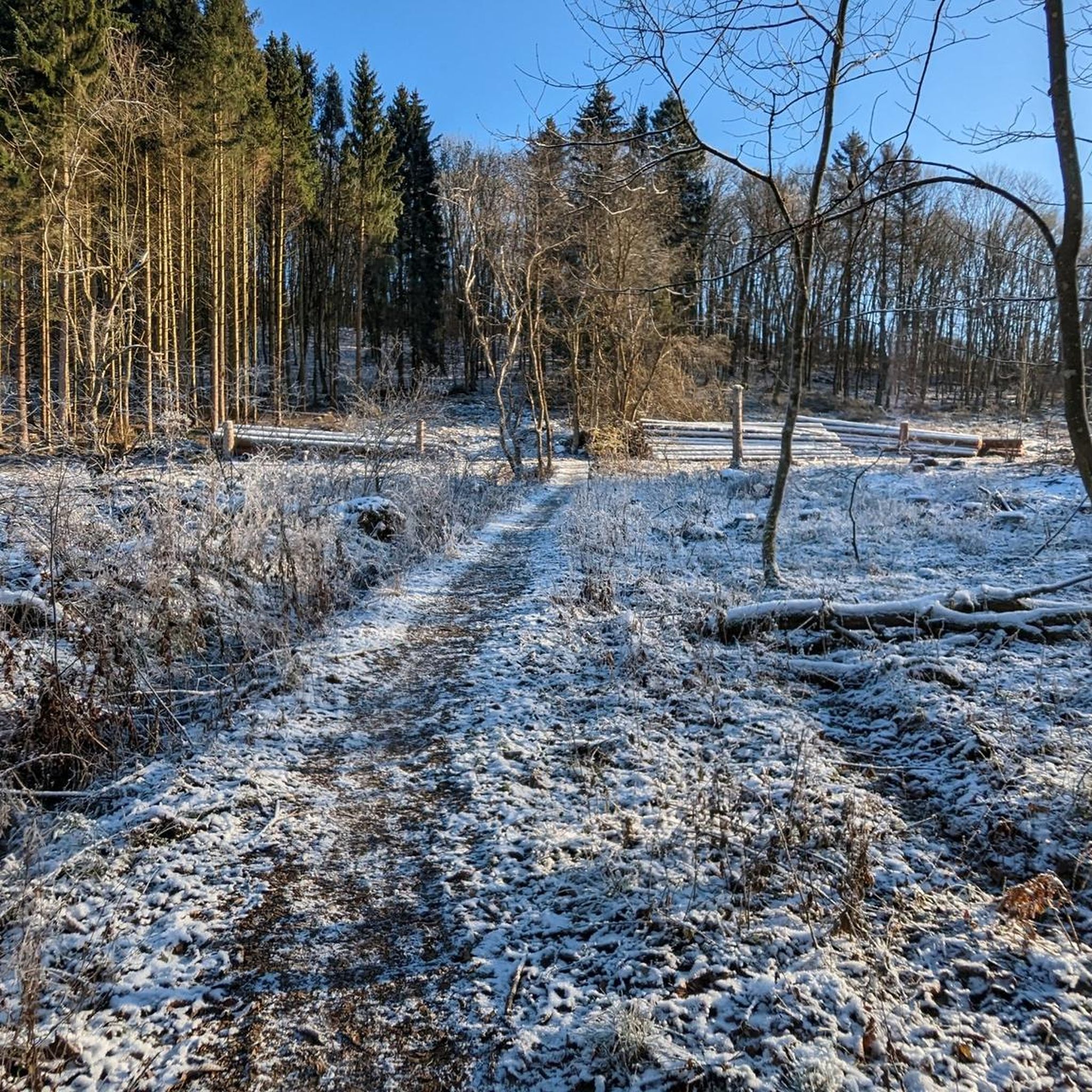
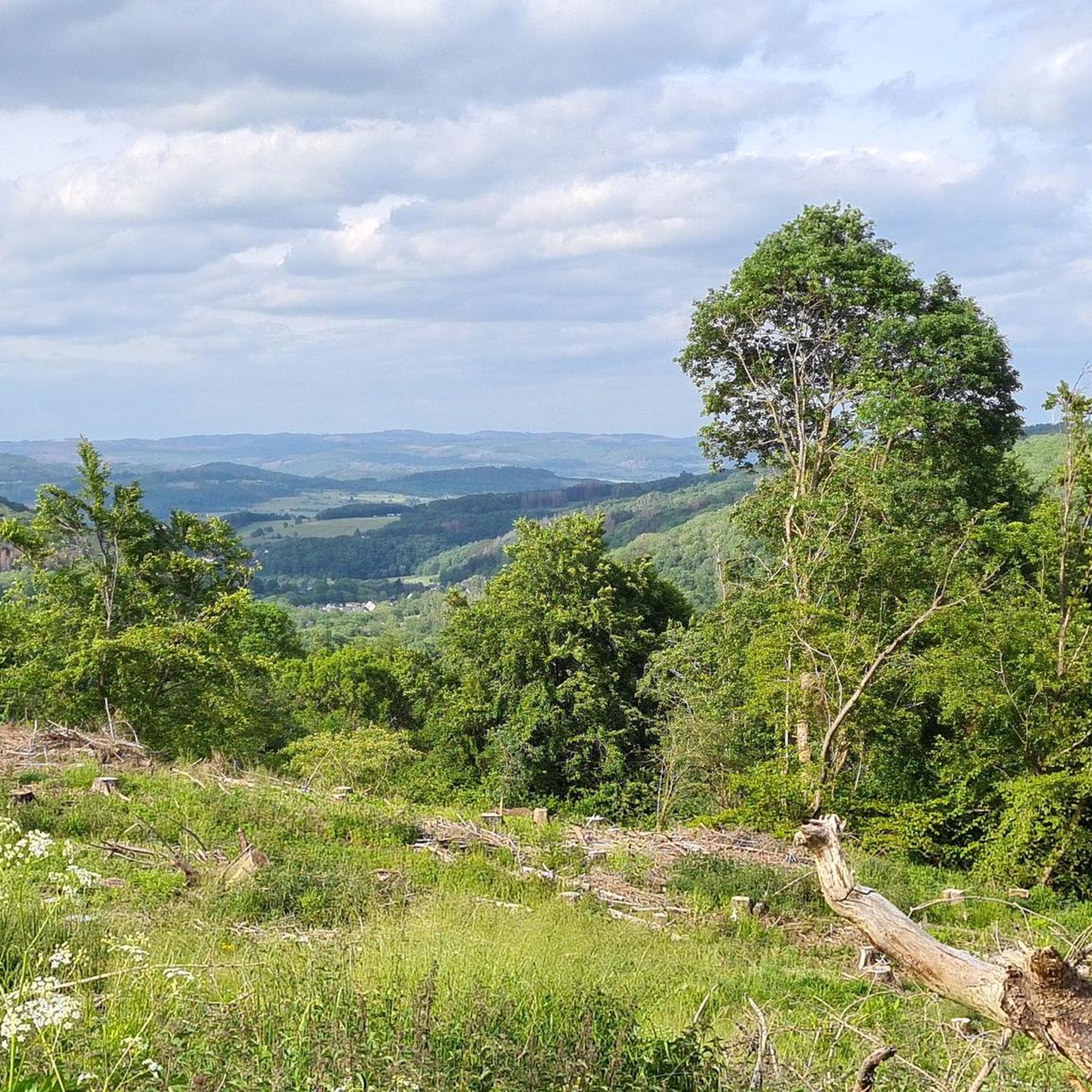
You don't really have a distant view here. A little further towards Waldaubach, the view opens up towards Siegerland.
0
0

A mighty trunk with a diameter of over 5 meters supports this 350-year-old ash tree in the center of Weißenberg.
1
0
You can eat a Bifi sausage on the bench… or read the information about the blue butterfly…
1
0
There are many benches along the Rothaarsteig trail. You can sit there until your backside is sore – if you have enough time.
1
0
Right at the tripoint, you cross the border river "Ketzerbach".
1
0
These are historical boundary stones that separate Prussia from Hessian Nassau, as well as the corresponding municipal boundaries.
1
0
A story about a calf that was deeply frightened by supernatural things that happened at the Heretic's Stone.
1
0
Beautiful kilometer marker on the Rothaarsteig-Westerwald route!
0
0
Frequently Asked Questions
How many hiking trails are available in Weier- und Winterbach?
Weier- und Winterbach offers a comprehensive network of over 950 hiking trails. This includes more than 550 easy routes, nearly 400 moderate options, and a selection of over 20 challenging trails, catering to various fitness levels.
Are there easy hikes suitable for beginners or families in Weier- und Winterbach?
Yes, Weier- und Winterbach is very beginner and family-friendly, with over 550 easy routes. A great option is the Katzhausen and the Ketzerstein – Rothaarsteig kilometer marker loop from Rabenscheid, which is 2.4 miles (3.9 km) long and takes about an hour through woodlands.
What are some moderate hiking options in the region?
For a moderate challenge, consider the Fuchskaute Nature Reserve – View from Fuchskaute loop from Waldaubacher Hecke bei Rabenscheid. This 5.2-mile (8.4 km) path traverses the Fuchskaute Nature Reserve, offering scenic views of the natural landscape.
Are there any circular hiking routes in Weier- und Winterbach?
Many trails in Weier- und Winterbach are circular. An accessible loop is the Ketzerbach – Bench Near Fuchskaute loop from Rabenscheider Holz, a 2.1-mile (3.4 km) trail that follows the gentle path near the Ketzerbach stream.
What kind of natural landscapes can I expect to see while hiking?
The region is characterized by dense woodlands, gentle hills, and valleys. You'll find a mix of forested areas, open fields, and natural reserves, such as the Fuchskaute Nature Reserve, providing varied terrain and scenery.
What do other hikers enjoy most about Weier- und Winterbach?
The hiking trails in Weier- und Winterbach are highly rated by the komoot community, with an average score of 4.6 stars from over 7,000 reviews. Hikers often praise the well-maintained paths, the peaceful woodlands, and the accessibility of routes for different skill levels.
Are there any interesting landmarks or viewpoints along the trails?
Yes, you can discover several points of interest. For example, the Three-State Point Hesse–North Rhine-Westphalia–Rhineland-Palatinate is a unique landmark. You can also find scenic spots like the Viewpoint at Winterbach Nature Reserve, offering expansive views.
Are the hiking trails in Weier- und Winterbach suitable for dogs?
While specific dog-friendly regulations can vary, the natural, forested character of Weier- und Winterbach's trails generally makes them suitable for walks with dogs. Always ensure your dog is on a leash and follow local guidelines, especially in nature reserves.
What is the best time of year to go hiking in Weier- und Winterbach?
The region's gentle hills and woodlands make it enjoyable for hiking throughout much of the year. Spring and autumn offer pleasant temperatures and vibrant scenery, while summer provides lush green forests. Winter hikes are also possible, though conditions may vary.
Are there any routes that pass by the Ketzerstein?
Yes, the Picnic Area at Ketzerstein – Ketzersteine loop from Waldaubacher Hecke bei Rabenscheid is an easy 3.3-mile (5.4 km) route that leads past the Ketzerstein, offering a pleasant walk with a picnic opportunity.
How can I find parking for the hiking trails?
Many trailheads in the Weier- und Winterbach area, particularly those starting from villages like Rabenscheid or Waldaubacher Hecke, typically offer designated parking areas. It's advisable to check specific route details on komoot for parking information near your chosen starting point.
Is it possible to reach the hiking trails by public transport?
While the region is primarily rural, some villages serving as trailheads may have limited public transport connections. For detailed information on bus routes and schedules to specific starting points, it's best to consult local public transport providers.
Most popular routes in Weier- und Winterbach
Most popular attractions in Weier- und Winterbach

Get inspired with the komoot mobile app


Explore more
Browse the best Hikes in other regions.
