The best road cycling routes in Brander Wald
4.4
(2485)
33,433
riders
664
rides
Road cycling in Brander Wald offers varied landscapes, including mixed forests, open spaces, and stream valleys. The region is characterized by its diverse terrain, with elevation gains suitable for different cycling preferences. The Inde stream meanders through the Münsterbach Valley, contributing to the scenic environment. Brander Wald provides a network of mostly paved surfaces, making it suitable for road bikes.
Best road cycling routes in Brander Wald
- The most popular road cycling route is Bridge Over the Wurm – Strangenhäuschen…
Last updated: June 28, 2026
4.0
(1)
17
riders
Moderate road ride. Great for any fitness level. Some segments of this route may be unpaved and difficult to ride.
4.0
(2)
35
riders
29.4km
01:17
270m
270m
Moderate road ride. Great for any fitness level. Some segments of this route may be unpaved and difficult to ride.

Sign up for free
4.8
(24)
30
riders
32.6km
01:24
260m
260m
Easy road ride. Great for any fitness level. Mostly well-paved surfaces and easy to ride.
26
riders
21.3km
00:59
220m
220m
Easy road ride. Great for any fitness level. Mostly well-paved surfaces and easy to ride.
15
riders
Moderate road ride. Good fitness required. Some segments of this route may be unpaved and difficult to ride.
Get access to more routes and recommendations from other explorers.
Sign up for free
Already have an account?
Our route recommendations are based on thousands of hikes, rides, and runs completed by other people on komoot.
Start today with a free account
Your next adventure awaits.
Login or Signup

Tips from the Community


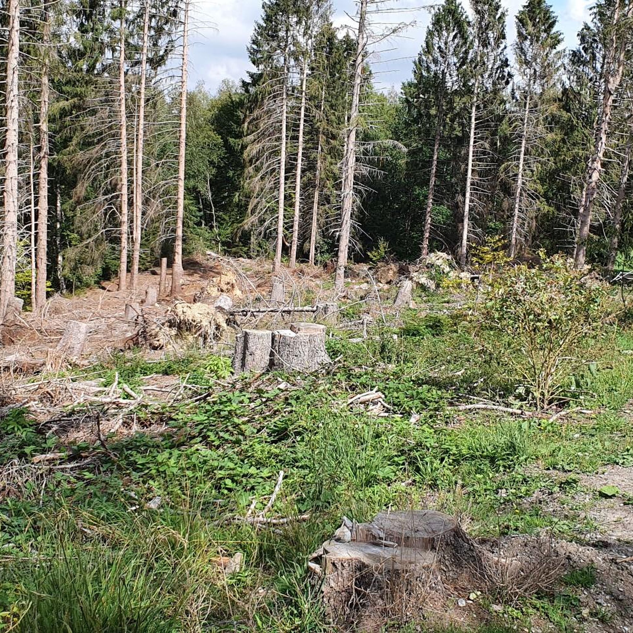
No photos here – the descent to Eynatten is simply too enjoyable to stop for. It provides access to the Pre-RAVeL route towards Kelmis or the beautiful Raeren – Eupen route. For short after-work rides, a quick detour towards Berlotte/Sief is also possible here.
0
0

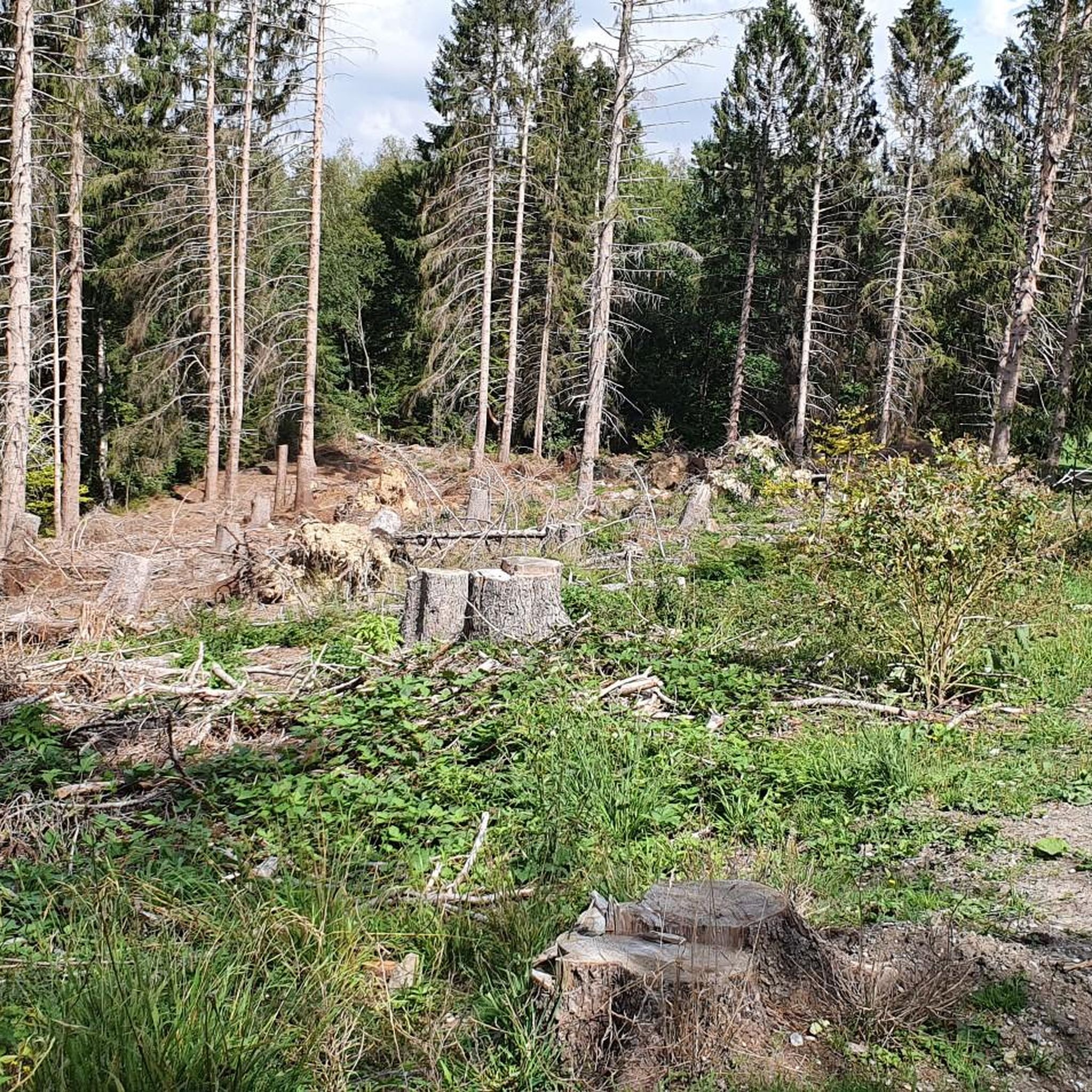
A beautiful alternative route through the valley via the winding road that runs through here.
0
0

A very enjoyable ride!! 👍✔️✅️
0
0


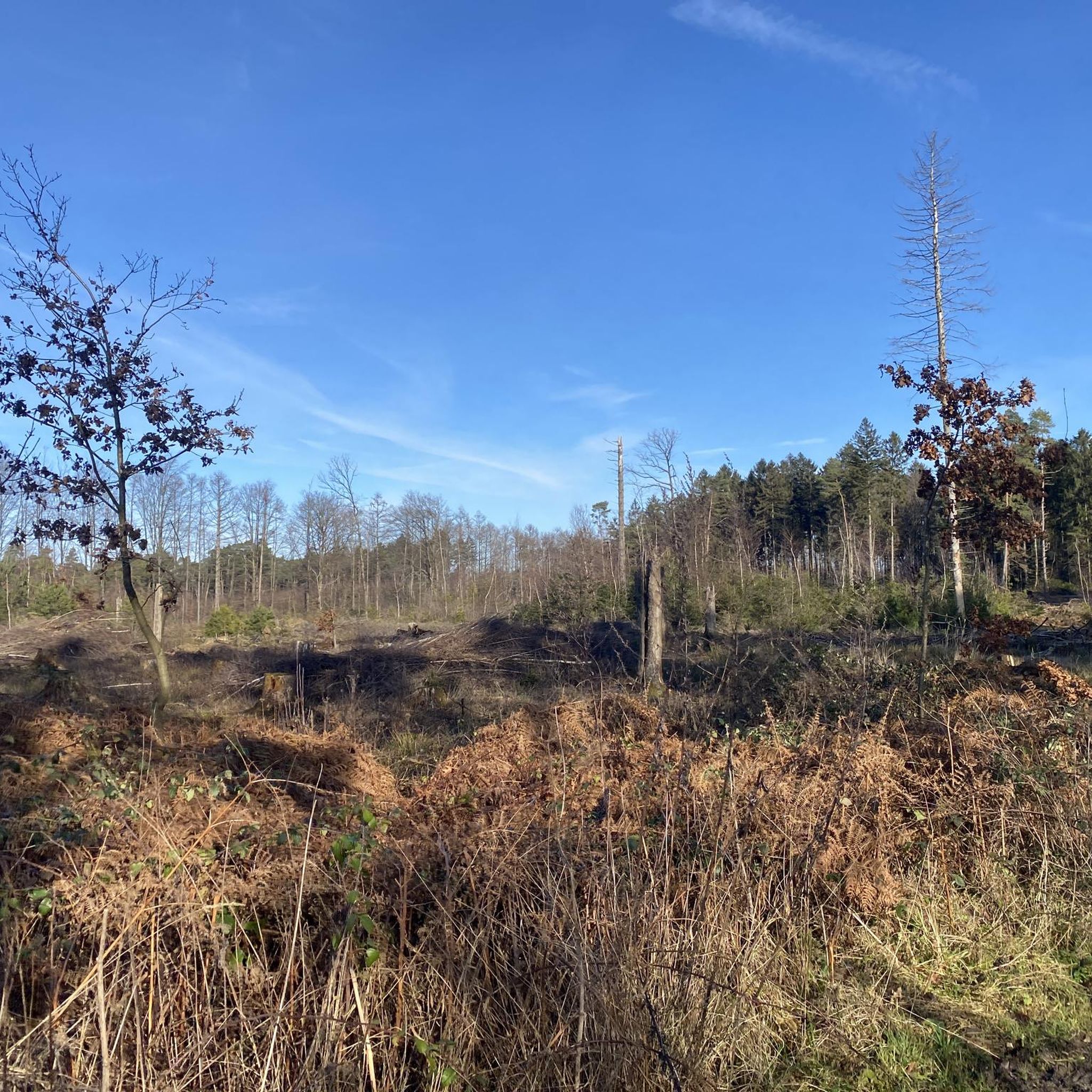
Very relaxing path between the fields
1
0
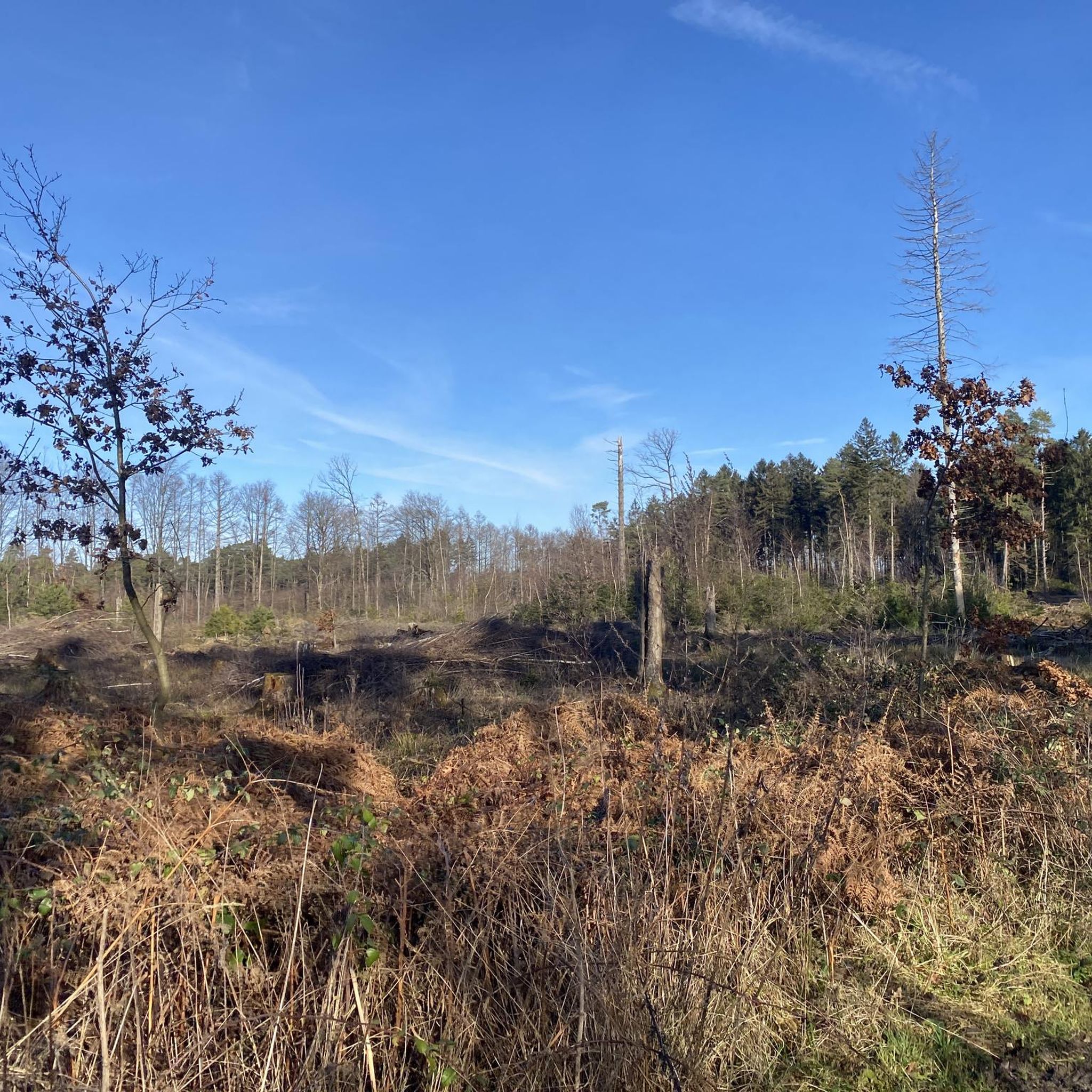
Short section on the bike path. Nice shade.
2
0

Wide, spatially separated field/cycle path along the road. The asphalt is top-notch, and it's a great ride, even if it's a bit dull along the road.
2
0
Frequently Asked Questions
How many road cycling routes are available in Brander Wald?
Brander Wald offers a wide selection of road cycling routes, with over 650 tours available on komoot. This includes a diverse range of options from easy to difficult, catering to various skill levels.
What kind of terrain can I expect when road cycling in Brander Wald?
Road cycling in Brander Wald features varied landscapes, including mixed forests, open spaces, and stream valleys. The routes are primarily on paved surfaces, but the region's diverse terrain includes elevation gains suitable for different cycling preferences. You'll find a mix of flat sections and more challenging climbs.
Are there routes suitable for beginners or less experienced road cyclists?
Yes, Brander Wald has numerous options for less experienced riders. There are over 140 easy road cycling routes available, such as the Rollefbach Viaduct – Bahnhofsvision Kornelimünster loop from Stolberg Mühlener Bahnhof, which offers scenic views of the Inde stream valley without excessive difficulty.
What do other cyclists say about road cycling in Brander Wald?
The komoot community highly rates road cycling in Brander Wald, with an average score of 4.5 stars from over 2,600 reviews. Cyclists often praise the varied terrain, the mix of forest and open sections, and the well-maintained paved surfaces that make for an enjoyable ride.
Are there challenging road cycling routes for experienced riders in Brander Wald?
Absolutely. For experienced road cyclists seeking a challenge, Brander Wald offers over 110 difficult routes. An example is the demanding Schmidt–Vossenack Serpentines – Dürener Gate Nideggen loop from Stolberg Rathaus, which features significant elevation gains and covers a longer distance.
What unique sights or landmarks can I discover along road cycling routes in Brander Wald?
Brander Wald has a unique history as a former military training ground. Along some routes, you might encounter abandoned tanks and tank traps, offering a distinctive 'lost place' experience. You can also visit the Tank Wrecks in Brander Wald. Additionally, natural rock formations like the Tatternsteine (Dwarf Stones) provide scenic viewpoints.
Are there any natural features to look out for while cycling?
Yes, the region is rich in natural beauty. The Inde stream meanders through the Münsterbach Valley, offering picturesque scenery with its largely unspoiled course and accompanying woodlands. You'll also cycle through diverse mixed forests and open spaces, and might even spot unique plant species like the rare calamine violet.
Are there any restrictions or special considerations for cycling in Brander Wald, especially regarding military training areas?
Yes, portions of Brander Wald are still active military training areas. While public access is generally recommended on weekends and public holidays, access may be restricted at certain times, particularly on weekdays. It's important to be aware of and respect any signage regarding restricted areas to avoid unauthorized entry.
Is parking available for road cyclists visiting Brander Wald?
While specific parking areas for cyclists are not explicitly detailed, Brander Wald is accessible from surrounding towns like Aachen and Stolberg, which typically offer public parking facilities. It's advisable to check local parking options in the starting points of your chosen routes, such as Aachen (district) or Stolberg Mühlener Bahnhof.
What is the best time of year for road cycling in Brander Wald?
The varied landscapes of Brander Wald can be enjoyed throughout much of the year. Spring and autumn offer pleasant temperatures and beautiful scenery with changing foliage. Summer provides longer daylight hours, while winter cycling is possible but may require checking trail conditions, especially after snowfall or heavy rain.
Are there family-friendly road cycling options in Brander Wald?
Many of the easy and moderate routes in Brander Wald are suitable for families, offering manageable distances and elevation profiles. Routes like the Start of the Vennbahnweg – End of the Vennbahn Cycle Path loop from Eilendorf provide a good option for a family outing on mostly paved surfaces.
Can I bring my dog along on road cycling routes in Brander Wald?
While Brander Wald is a natural area, road cycling routes are generally on paved surfaces. If your dog is accustomed to running alongside a bike or can be safely carried in a trailer, many routes could be suitable. However, always ensure your dog is under control and be mindful of other users and wildlife in the nature reserve.
Are there any cafes or pubs near the road cycling routes in Brander Wald?
Brander Wald is situated between Aachen-Brand and Stolberg-Münsterbusch. These nearby towns and districts offer various amenities, including cafes, pubs, and restaurants where you can refuel before or after your ride. It's recommended to plan your route to pass through or near these areas for convenient stops.
Most popular routes in Brander Wald
Most popular attractions in Brander Wald

Get inspired with the komoot mobile app


Explore more
Browse the best Road cycling routes in other regions.
