The best walks and hikes in Nsg Untere Ruraue
4.5
(16944)
58,483
hikers
1,566
hikes
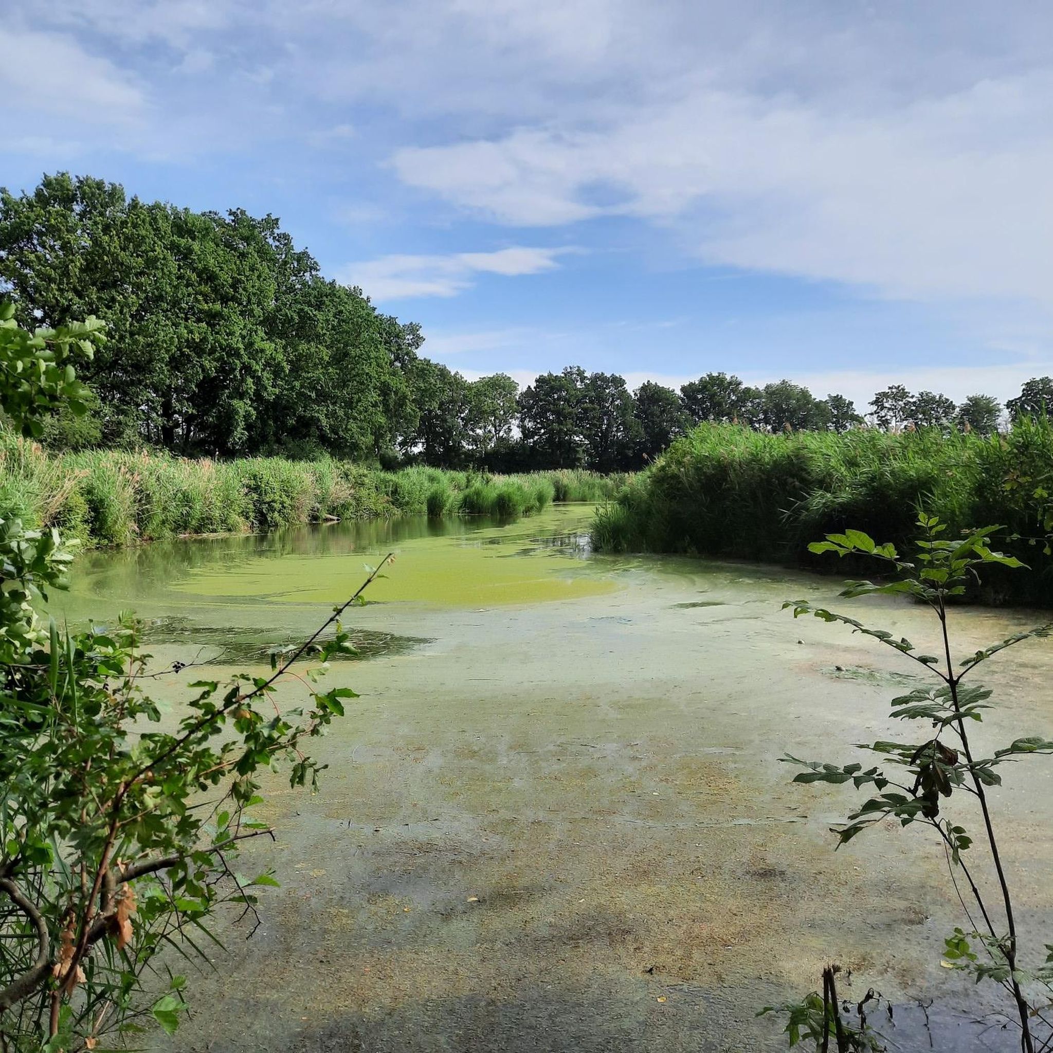
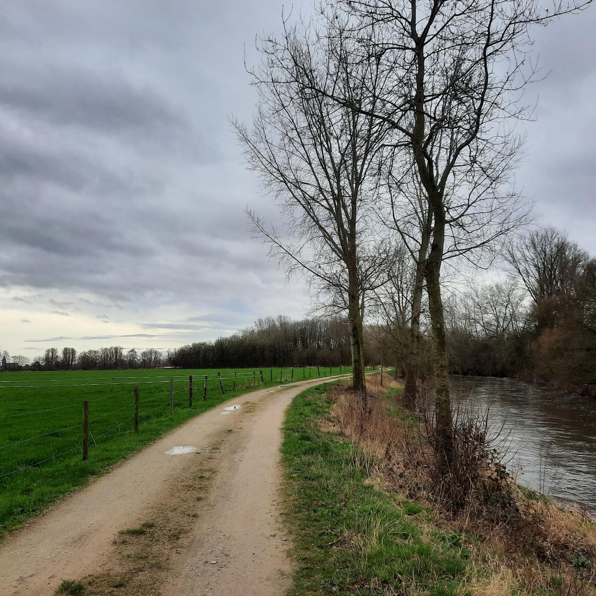
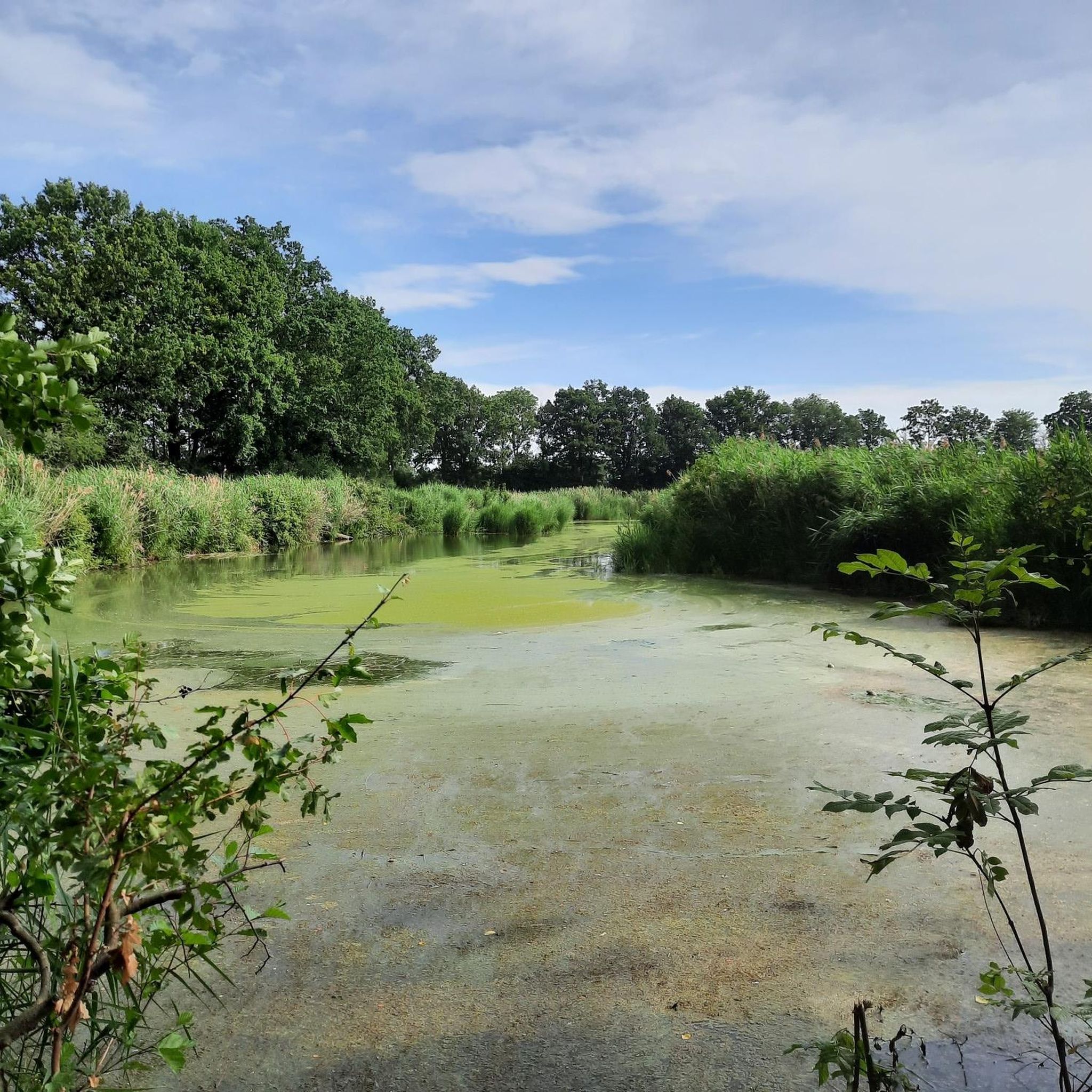
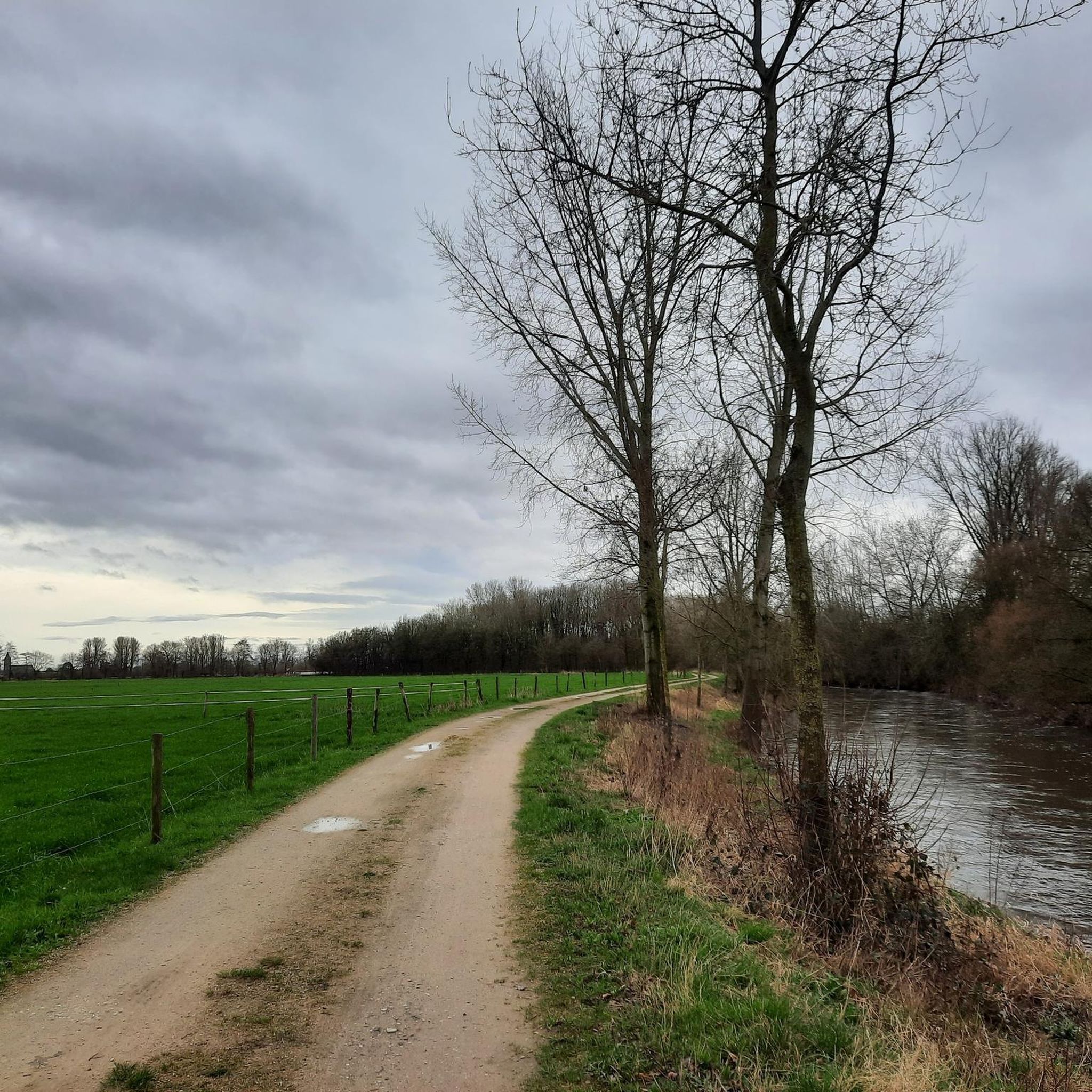
Hiking trails in Nsg Untere Ruraue traverse a diverse landscape shaped by the Rur river and its expansive floodplains. The region features a mix of woodlands, open fields, and riverside paths, providing varied terrain for outdoor activities. Notable natural features include the Effelder Waldsee and parts of the Schaagbachtal, which contribute to the area's biodiversity. This nature reserve offers a network of trails that highlight both natural beauty and historical landmarks.
Best hiking trails in Nsg Untere Ruraue
- The most…
Last updated: July 4, 2026
4.6
(52)
162
hikers
Moderate hike. Good fitness required. Easily-accessible paths. Suitable for all skill levels.
4.3
(15)
39
hikers
Moderate hike. Good fitness required. Easily-accessible paths. Suitable for all skill levels.

Sign up for free
4.5
(6)
21
hikers
Moderate hike. Good fitness required. Easily-accessible paths. Suitable for all skill levels.
4.3
(6)
28
hikers
Easy hike. Great for any fitness level. Easily-accessible paths. Suitable for all skill levels.
5.0
(2)
15
hikers
Easy hike. Great for any fitness level. Easily-accessible paths. Suitable for all skill levels.
Get access to more routes and recommendations from other explorers.
Sign up for free
Already have an account?
Our route recommendations are based on thousands of hikes, rides, and runs completed by other people on komoot.
Start today with a free account
Your next adventure awaits.
Login or Signup
Tips from the Community

Great area 👌 we recommend it to you
1
0


A great view of Lago Laprello.
1
0
The bridge is very narrow. In case of oncoming traffic, you have to coordinate who gets to go.
0
0

Otters on the Rurufer, sunbathing
0
0

Two coypus enjoy the warm spring sun.
1
0

The "Bielefeld city forest" is practically within sight. 🤦♂️
0
0
A hotspot for breathtaking sunsets on the lake.
0
0
Frequently Asked Questions
How many hiking trails are available in NSG Untere Ruraue?
NSG Untere Ruraue offers a vast network of over 1500 hiking trails, catering to a wide range of preferences and skill levels. The majority, over 1100, are considered easy, with more than 400 moderate options and around 30 more challenging routes.
What kind of terrain can I expect on the hiking trails in NSG Untere Ruraue?
The terrain in NSG Untere Ruraue is shaped by the Rur river and its floodplains, offering a dynamic mix. You'll find tranquil woodlands, open fields, and diverse riverside paths. The area is generally low in elevation, with most routes featuring minimal ascents and descents, making for pleasant walks.
Are there any easy or family-friendly hiking trails in NSG Untere Ruraue?
Yes, the region is very well-suited for easy and family-friendly hikes. Over 1100 trails are classified as easy. A great option is the Effeld Border Crossing – View of Waldsee Effeld loop from NSG Schaagbachtal, which is 4.7 miles (7.6 km) long and takes about 1 hour 55 minutes to complete, leading through varied terrain near the picturesque Effelder Waldsee.
What natural features and landmarks can I see along the trails?
The trails in NSG Untere Ruraue showcase a variety of natural and cultural highlights. You can explore the Rur River itself, witness the impressive Confluence of the Wurm and the Rur, or observe the Rur rapids at the bicycle bridge in the Lower Rur floodplain. Historic sites like Schloss Effeld and Gitstappermühle are also found along some routes.
Are there any circular walks available in NSG Untere Ruraue?
Many of the trails in NSG Untere Ruraue are designed as circular routes, allowing you to start and end at the same point. For example, the Rur Bridge at Adolfosee – Between the Adolfosee and the Rur loop from Wassenberg is a moderate 8.0-mile (12.8 km) loop offering views of the Adolfosee and the Rur river.
What is the best time of year to go hiking in NSG Untere Ruraue?
NSG Untere Ruraue is enjoyable year-round. The dynamic riverine landscape and diverse natural features make it beautiful in spring with blooming flora, vibrant in summer, colorful in autumn, and serene in winter. The varied terrain ensures there are always suitable paths, regardless of the season.
Are dogs allowed on the hiking trails?
While specific regulations can vary, generally, dogs are welcome on trails in NSG Untere Ruraue, especially if kept on a leash. The natural environment with its open fields and riverside paths provides a great setting for walks with your canine companion. Always be mindful of local signage, especially in nature reserve areas.
What do other hikers enjoy most about hiking in NSG Untere Ruraue?
The area is highly rated by the komoot community, with an average score of 4.5 stars from over 14,800 reviews. Hikers often praise the diverse landscape, the tranquility of the riverside paths, and the well-maintained trails that cater to various ability levels. The blend of natural beauty and historical points of interest is also frequently highlighted.
Are there any challenging routes for experienced hikers?
While the majority of routes are easy to moderate, there are around 30 trails classified as difficult for those seeking a greater challenge. These routes might involve longer distances or slightly more varied terrain, though significant elevation changes are uncommon in this riverine landscape.
Can I find cafes or places to eat near the hiking paths?
Yes, the region around NSG Untere Ruraue, particularly near towns like Wassenberg and Effeld, offers various amenities. You can often find cafes, restaurants, and pubs in the villages adjacent to the nature reserve, perfect for a break before or after your hike.
Are there any trails that pass by the confluence of the Wurm and Rur rivers?
Yes, the confluence of the Wurm and Rur rivers is a significant natural highlight and can be experienced on several routes. The Confluence of the Wurm and Rur rivers – Rur weir and bridge loop from Kempen is a moderate 9.2-mile (9.2 km) hike that specifically explores this serene setting.
What are the typical lengths of hikes in NSG Untere Ruraue?
Hikes in NSG Untere Ruraue vary greatly in length. You can find shorter, easy walks like the St. Martin Church Orsbeck – Luchtenberger Cross loop from Unterbruch at 3.2 miles (5.1 km), which takes about 1 hour 15 minutes. Longer, moderate options, such as the Rur weir and bridge – Lake View from the Dock loop from NSG Schaagbachtal, can extend to 9.0 miles (14.5 km) and take over 3 hours.
Most popular routes in Nsg Untere Ruraue
Most popular attractions in Nsg Untere Ruraue

Get inspired with the komoot mobile app


Explore more
Browse the best Hikes in other regions.
