The best walks and hikes in Oembergmoor Und Wambachtal
4.5
(26777)
107,854
hikers
13
hikes
Hiking in Oembergmoor Und Wambachtal offers diverse landscapes within the densely populated Ruhr region, providing valuable green spaces. The area is characterized by the meandering Wambach Stream, which flows through alder stands, and the Oembergmoor, featuring a small open transitional moor and peat moss-rich rush-birch forests. Diverse woodlands, including old beech stands and structurally rich oak forests, contribute to the natural character of the reserve. The Entenfangsee also adds a water-based attraction to the forested and marshy landscapes.
Best hiking trails in Oembergmoor Und Wambachtal
- The most popular hiking route is Stinderforst – Forest Path loop from Rottbachtal, a 4.0 miles (6.5 km) trail that takes 1 hour 40 minutes to complete, winding through varied forest terrain.
- Another top favourite among local hikers is Haubach Stream – Breitscheider Bach loop from Wambachtal und Oembergmoor, a moderate 9.7 miles (15.6 km) path. This route explores stream valleys and offers a mix of natural scenery.
- Local hikers also love the Forest path – Saarner Mark Parking loop from Schengerholzbachtal, a 2.5 miles (4.1 km) trail leading through woodlands, often completed in about 1 hour 3 minutes.
- Hiking in Oembergmoor Und Wambachtal is defined by natural flowing waters, rich deciduous forests, and marshy areas. The extensive network offers options for easy and moderate ability levels.
- The routes in Oembergmoor Und Wambachtal are highly rated by the komoot community with an average score of 4.6 stars from over 300 reviews. More than 1500 hikers have used komoot to explore Oembergmoor Und Wambachtal's varied terrain.
Last updated: July 8, 2026
4.5
(26)
119
hikers
6.52km
01:40
20m
20m
Easy hike. Great for any fitness level. Easily-accessible paths. Suitable for all skill levels.
4.6
(19)
70
hikers
Moderate hike. Good fitness required. Easily-accessible paths. Suitable for all skill levels.

Sign up for free
4.8
(14)
78
hikers
Easy hike. Great for any fitness level. Easily-accessible paths. Suitable for all skill levels.
4.2
(13)
52
hikers
Easy hike. Great for any fitness level. Easily-accessible paths. Suitable for all skill levels.
5.0
(3)
33
hikers
6.37km
01:38
30m
30m
Easy hike. Great for any fitness level. Easily-accessible paths. Suitable for all skill levels.
Get access to more routes and recommendations from other explorers.
Sign up for free
Already have an account?
Our route recommendations are based on thousands of hikes, rides, and runs completed by other people on komoot.
Start today with a free account
Your next adventure awaits.
Login or Signup
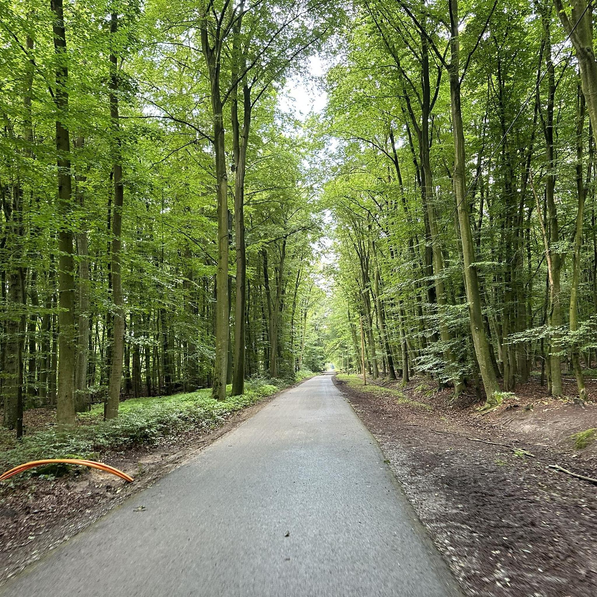
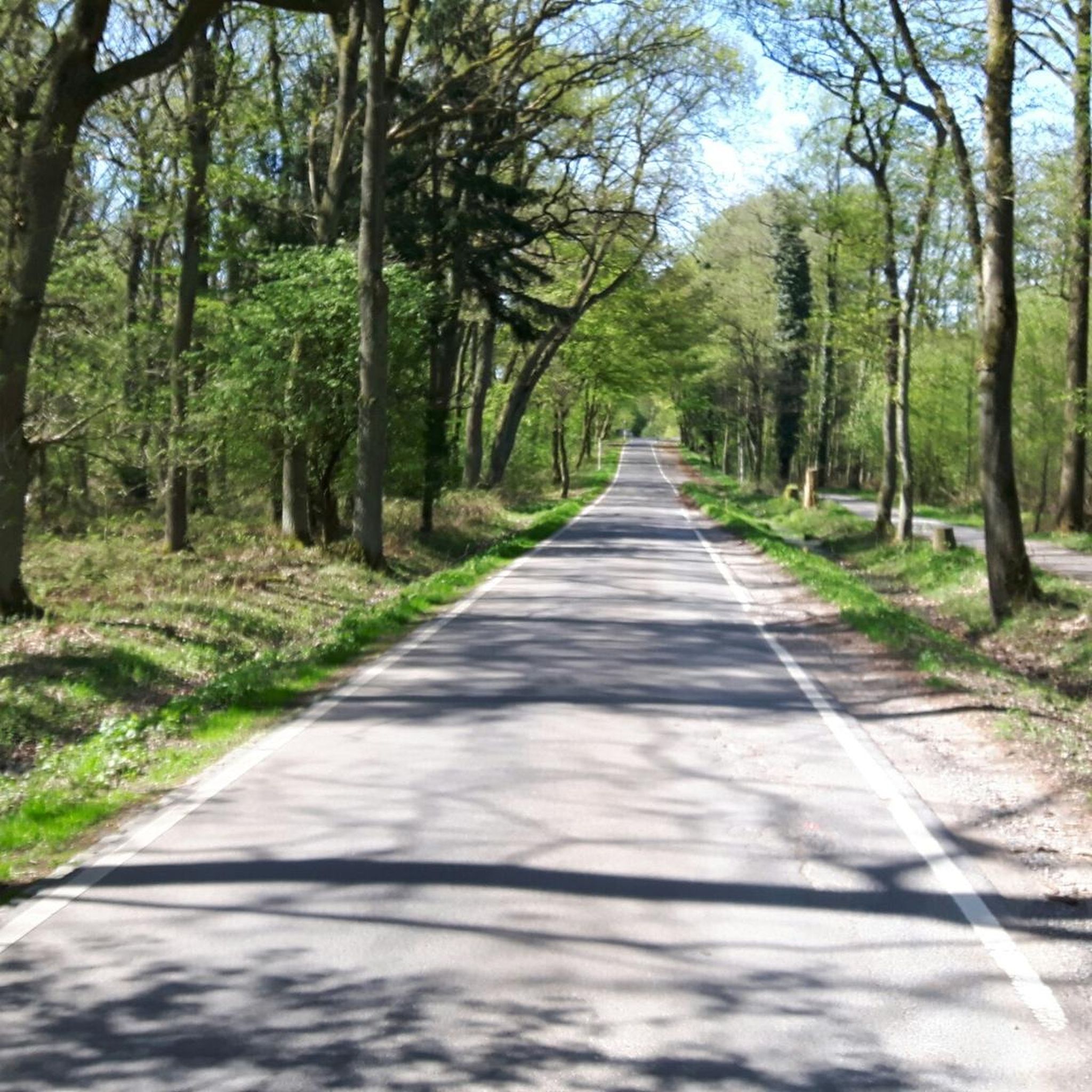
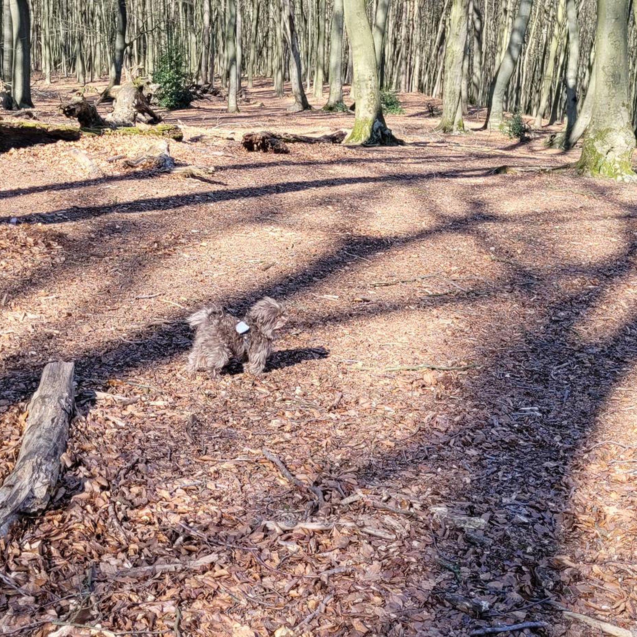
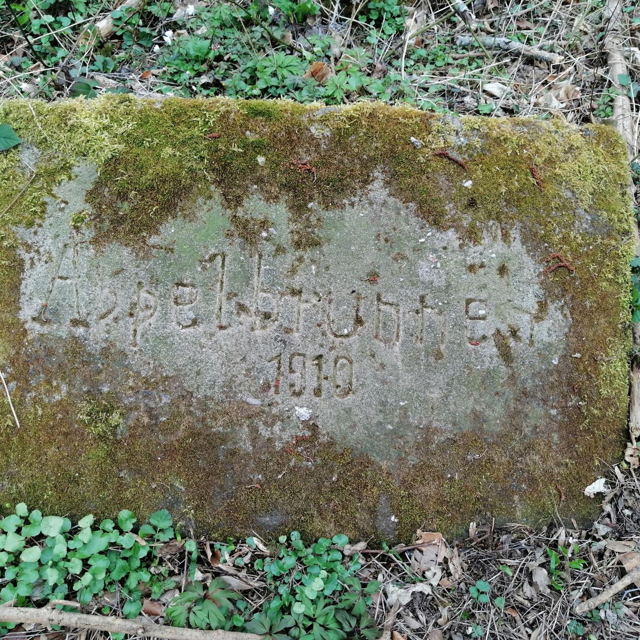
Tips from the Community

Unfortunately, the bridge will not be rebuilt. Crossing the stream is possible when the water level is low (take off your shoes). Riding a horse (see the registered bridleway) is still possible.
0
0

In May 2025 barely passable due to fallen tree on destroyed bridge
0
0

Looks very dilapidated. But the new bridge is already in the works.
0
0

This is a very nice path along the stream.
0
0

The May green is just a dream. The first leaves are sprouting in the forest, the grass is lush green and the dandelions are already blooming in the meadows. Soooo beautiful.
2
0

Behind the head forester's office and forest school on Grossenbaumer Straße we take a dead-straight kilometer of Markenstraße under our soles, which, due to the sizeable forest, is by no means as desolate as the brittle straight line on the map suggests. The Wambach lures us away from the straight line onto its bumpy and washed-out bank path, which we follow to the end. We could almost have seen a kingfisher, unfortunately nobody was out at the time. Further to the south-east, the Markenstraße leads us first, then the Fährkamp for a short time through the southernmost part of the city of Saar; Then the Wambach leads us close to its springs, which bubble up in the charming nature reserve "Upper reaches of the Wambach".
0
0

Nice place for a rest in the sun.
0
0

Nice change from asphalt and gravel 👍
1
0
Frequently Asked Questions
How many hiking trails are available in Oembergmoor und Wambachtal?
Oembergmoor und Wambachtal offers a network of over a dozen hiking trails. These routes cater to various preferences, with the majority being easy and a few moderate options available for those seeking a longer challenge.
What kind of terrain can I expect on the hiking trails?
The terrain in Oembergmoor und Wambachtal is quite diverse. You'll find natural flowing watercourses like the Wambach Stream, which often meanders through alder stands. The area also features varied woodlands, including old beech stands and rich oak forests, alongside a small open transitional moor. Some paths might be 'offroad' through mud and undergrowth, especially after rain, while others are well-maintained forest paths.
Are there family-friendly hiking routes in Oembergmoor und Wambachtal?
Yes, Oembergmoor und Wambachtal is well-suited for family outings. Many of the trails are classified as easy, making them accessible for hikers of all ages. For example, the Forest path – Saarner Mark Parking loop from Schengerholzbachtal is a shorter, easy route through woodlands, perfect for a relaxed family walk.
Can I bring my dog on the hiking trails?
Yes, Oembergmoor und Wambachtal is generally dog-friendly. The extensive network of paths through forests and along streams provides a great environment for dogs. Please ensure your dog is kept on a leash, especially in nature reserve areas, and always clean up after your pet to preserve the natural beauty for everyone.
What natural features or attractions can I see while hiking?
While hiking, you can explore several natural highlights. The Entenfang Lake is a significant local recreation area, and you can also observe the meandering Wambach inlet at Entenfang. The area is also home to the Oembergmoor and Wambachtal Nature Reserve itself, with its diverse forests and unique transitional moor.
Are there any longer or more challenging hikes available?
While most trails are easy, there are options for longer, moderate hikes. The Haubach Stream – Breitscheider Bach loop from Wambachtal und Oembergmoor is a moderate 15.6 km path that explores stream valleys and offers a more extensive experience of the natural scenery.
What do other hikers say about the trails in Oembergmoor und Wambachtal?
The trails in Oembergmoor und Wambachtal are highly rated by the komoot community, with an average score of 4.6 stars from over 300 reviews. Hikers often praise the natural setting, the variety of forest types, and the peaceful atmosphere, making it a popular green escape within the Ruhr region.
What is the best time of year to go hiking in this region?
Oembergmoor und Wambachtal offers pleasant hiking experiences throughout the year. Spring brings lush greenery and blooming flora, while autumn showcases vibrant fall colors in the diverse deciduous forests. Summer is ideal for enjoying the shade of the woodlands, and even mild winter days can be beautiful for a crisp walk, especially around the Entenfangsee.
Are there circular hiking routes in Oembergmoor und Wambachtal?
Yes, many of the trails in Oembergmoor und Wambachtal are designed as circular routes, allowing you to start and end at the same point. An example is the Forest path – Wambach Riverside Path loop from Schengerholzbachtal, which offers a scenic round trip along the Wambach.
How can I reach Oembergmoor und Wambachtal by public transport?
The Oembergmoor und Wambachtal area is accessible by public transport, being situated on the border of Duisburg and Mülheim an der Ruhr. Specific bus or tram lines will depend on your starting point, but local transport networks connect to various entry points around the nature reserve. It's advisable to check local public transport schedules for the most convenient connections to trailheads.
Is parking available near the trailheads?
Yes, parking is generally available at various access points around Oembergmoor und Wambachtal. Many popular trailheads, such as those near Schengerholzbachtal or Rottbachtal, offer designated parking areas for hikers. It's recommended to arrive early during peak times to secure a spot.
Are there any cafes or restaurants near the hiking trails?
While the nature reserve itself is primarily natural, being close to Duisburg and Mülheim an der Ruhr means there are cafes and restaurants in the surrounding towns and districts. You can find options for refreshments or a meal a short drive or walk from various entry points to the hiking area.
What makes Oembergmoor und Wambachtal a unique hiking destination?
Oembergmoor und Wambachtal stands out as a unique hiking destination due to its remarkable natural diversity within the densely populated Ruhr region. It offers a valuable green oasis with largely natural flowing waters, ecologically significant deciduous forests, and a rare transitional moor, providing crucial habitats for a wide array of species. The combination of forest, stream, and lake scenery makes it a varied and refreshing escape.
Most popular routes in Oembergmoor Und Wambachtal
Most popular attractions in Oembergmoor Und Wambachtal

Get inspired with the komoot mobile app


Explore more
Browse the best Hikes in other regions.
