The best road cycling routes in Bourgoyen-Ossemeersen
4.2
(1191)
45,512
riders
1,005
rides
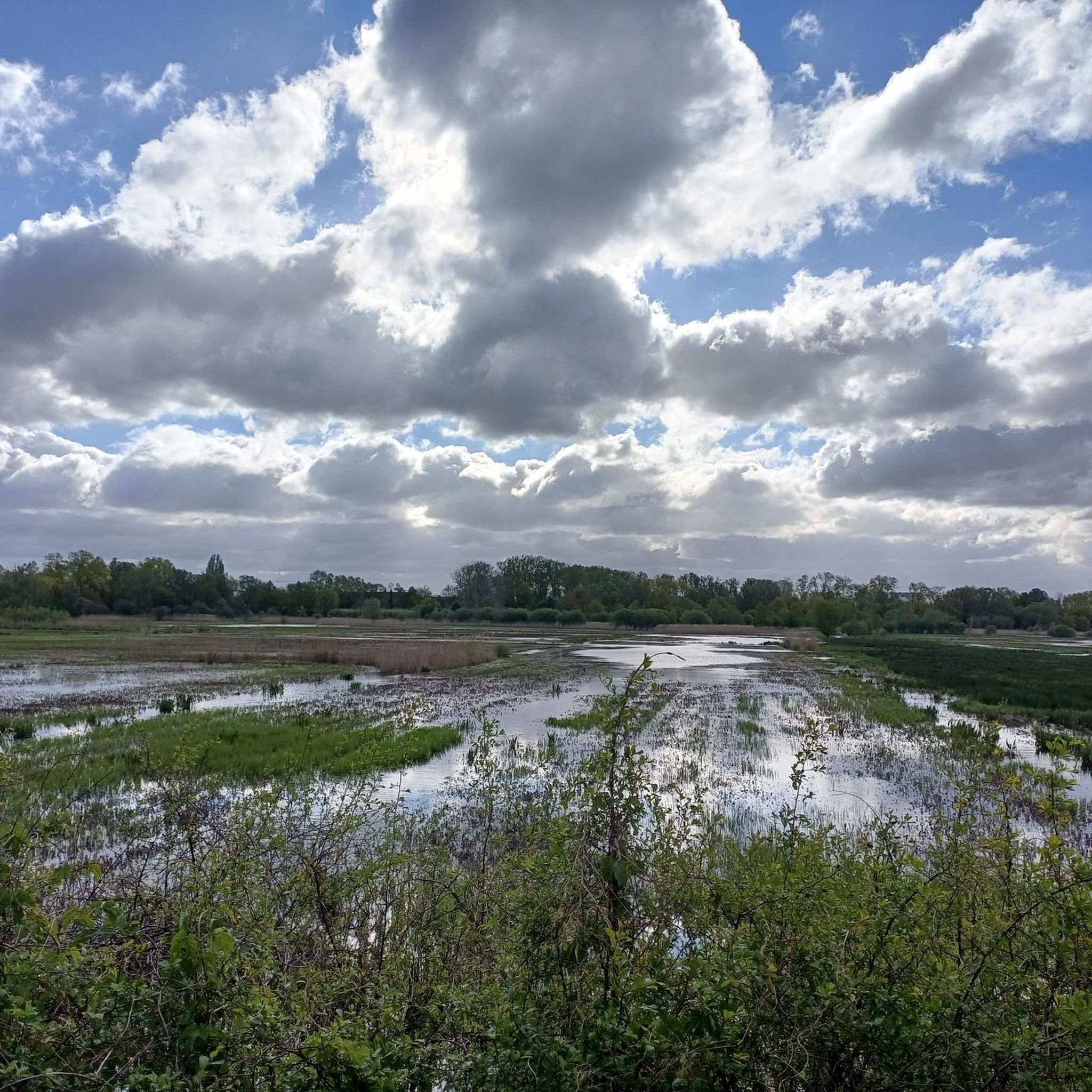
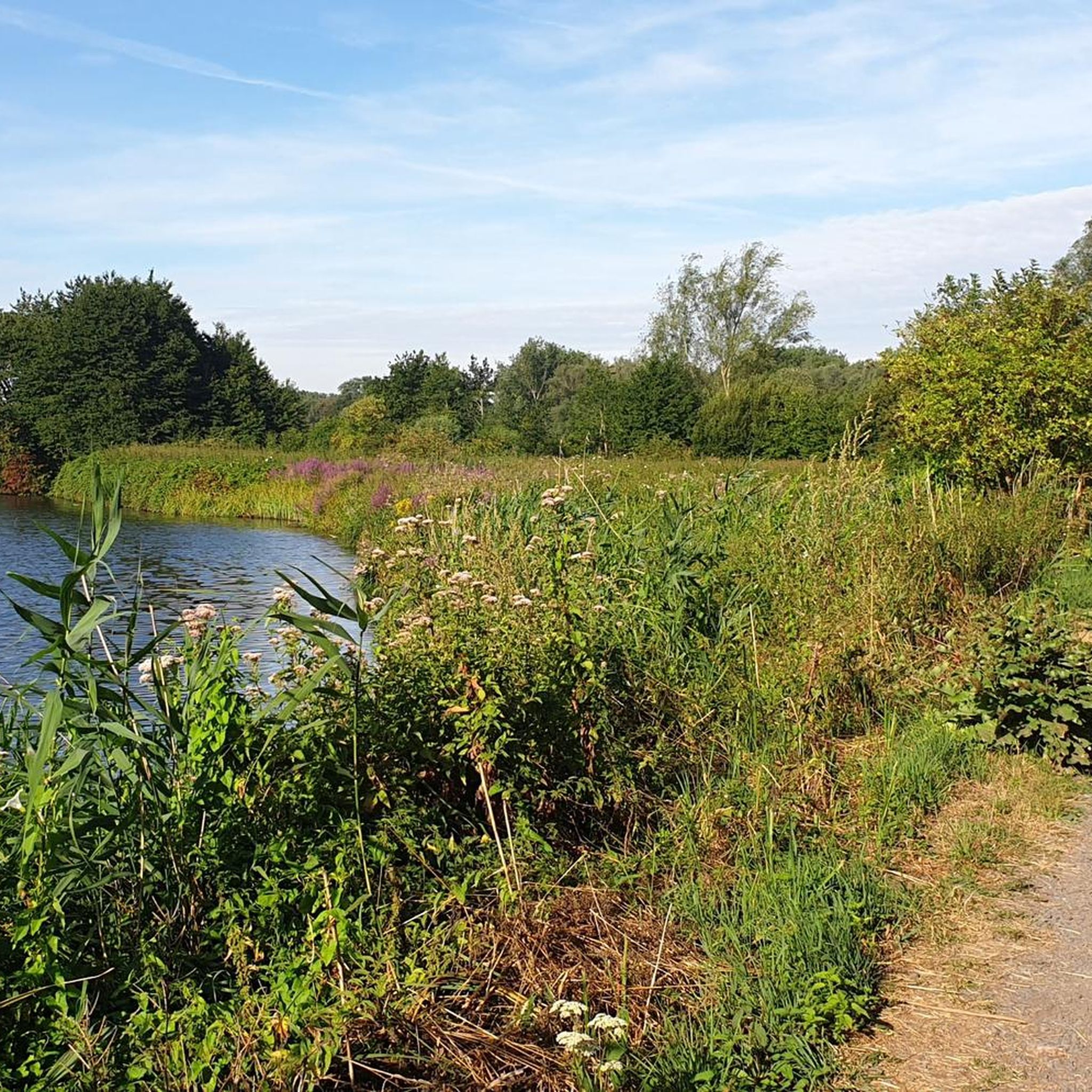
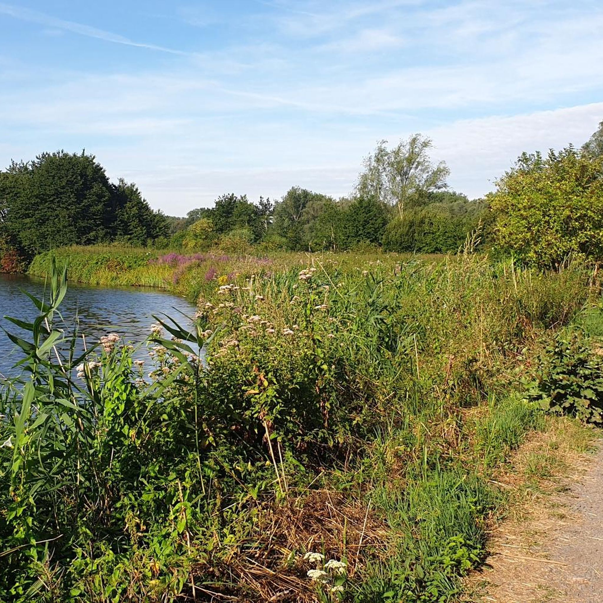
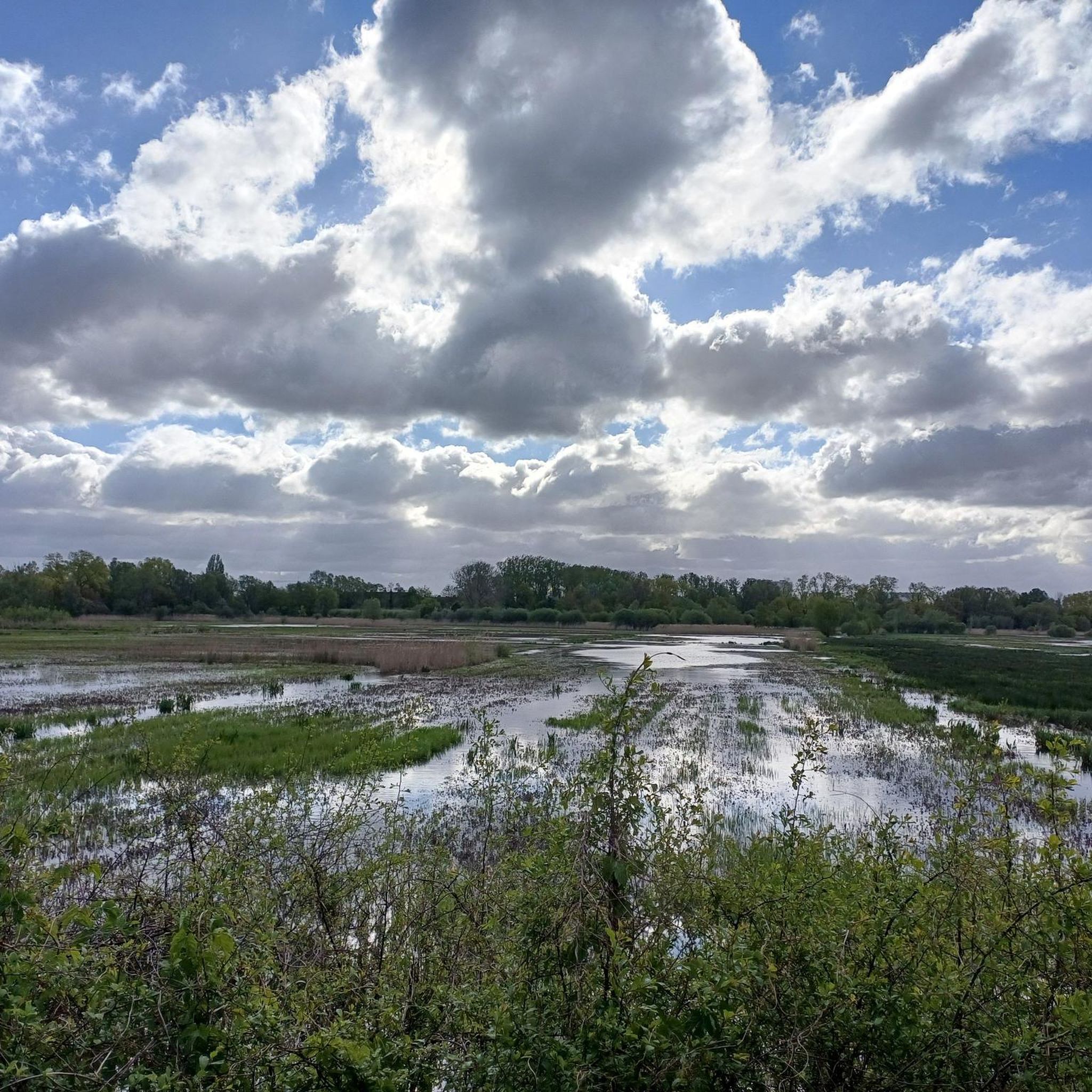
Road cycling in Bourgoyen-Ossemeersen is characterized by its flat terrain, expansive marshy meadows, and wetlands, offering a network of paved routes. The area is divided by the Leie River, providing scenic connections along waterways. This nature reserve is integrated into Ghent's broader cycling infrastructure, including dedicated cycle paths and regional bicycle highways. The landscape features fields and wooded areas, making it suitable for varied road cycling experiences.
Best road cycling routes in Bourgoyen-Ossemeersen
- The most popular road cycling route is…
Last updated: October 5, 2026
1.5
(4)
43
riders
18.3km
00:55
30m
30m
Moderate road ride. Great for any fitness level. Some segments of this route may be unpaved and difficult to ride.
5.0
(1)
12
riders
Easy road ride. Great for any fitness level. Mostly well-paved surfaces and easy to ride.

7
riders
18.9km
00:51
30m
30m
Easy road ride. Great for any fitness level. Mostly well-paved surfaces and easy to ride.
1
riders
34.8km
01:37
40m
40m
Moderate road ride. Great for any fitness level. Some segments of this route may be unpaved and difficult to ride.
4.5
(2)
14
riders
27.0km
01:15
40m
40m
Moderate road ride. Great for any fitness level. Some segments of this route may be unpaved and difficult to ride.
Get access to more routes and recommendations from other explorers.
Already have an account?
Our route recommendations are based on thousands of hikes, rides, and runs completed by other people on komoot.
Start today with a free account
Your next adventure awaits.
Tips from the Community

The Korenmarkt is a city square in the historic center of Ghent in East Flanders, Belgium. It is located between the Leie and St. Nicholas' Church and is one of the most important and well-known tourist attractions in the city. The square is surrounded by several historic buildings, which today house bars, restaurants, and terraces. It is a central venue for the annual cultural festival 'Gentse Feesten'.
0
0

The Drongenplein is the heart of the old village center of Drongen. The design of the Drongenplein with its pollarded lime trees and footpaths is full of nods to the past. The corten steel fencing shows the boundaries of the churchyard that was located here until the 19th century. The paths follow a route that is still visible on old city maps, and the curved bench at the war memorial is a reference to the meandering Leie.
2
0
For those wondering why there was never a wider bridge to connect Assel to the civilized world: this 1927 four-part bridge is a protected monument and was restored quite recently. It therefore remains millimeter work for trucks that need to get to the other side. The name Pontbrug points to a further past when there was only a pontoon or ferry service here.
3
0

Since the 14th century, grain has been traded on the Korenmarkt on Fridays. Formerly called "Koornaard". The current streetscape is dominated by the west facade of St. Nicholas' Church, while on the other side is the monumental facade with bell tower of the post office building. In addition, on both sides there are houses of roughly the same size but with different facade types, varying between the 13th and 20th centuries. The Korenmarkt belongs to the second medieval city, the western expansion outside the oldest medieval Portus or trading settlement. This expansion began in the mid-10th century as a result of population growth. In the course of this expansion, the land was parceled out, the parish of Sint-Niklaas was founded, and trading activities were started. The Korenmarkt was first mentioned in 1208 under the name forum segeta (literally grain market). https://www.gent-geprent.com/straten-van-gent/straten-a-m/straten-k-1/korenmarkt/korenmarkt-algemeen
3
0
Contractor De Beer had the honor of designing the Lousbergbrug in 1856. It was a swing bridge in iron, weighed 110,000 kg and withstood the test on March 30, 1856 to carry 118,000 kg. On November 6, 1885, the opened swing bridge broke in half. A footbridge, 30 m long on metal supports with wooden stairs, initially provided the crossing. The Morobé company won the tender on July 10, 1886 for the construction of a new swing bridge in mild steel. In 1901, a new footbridge arrived. Subsequently, in 1911, the wooden deck of the swing bridge needed replacement. The bridge remained closed for three months for the application of a concrete layer. The beginning of World War II meant the blowing up of the Lousbergbrug. An emergency bridge with 2 footpaths had been designed by the German occupier and remained in use until 1955. In 1956, a new bascule bridge was installed. Four levers on the ends of the piers set the bascule bridge in motion. Both the counterweight of the bridge, i.e. the levers, and the bridge itself weigh around 75 tons. On December 22, 1956, the new bridge was opened to all traffic.
4
0

Beautiful place, where, pedestrians, cyclists, cars and teams share the roads and there is no drama.
0
0

Not the most modern but the tunnels are always full of street art
2
0

It's very quiet to cycle there.
0
0
Frequently Asked Questions
What is the typical terrain and elevation for road cycling in Bourgoyen-Ossemeersen?
Road cycling in Bourgoyen-Ossemeersen is characterized by its predominantly flat terrain. The routes traverse expansive marshy meadows, wetlands, and fields, with minimal elevation gain, making it suitable for cyclists of all levels. For example, routes like Langendam Gravel Path – Overmeers Pond loop from Drongen have an elevation gain of only around 26 meters over 17.9 km.
What natural features and landmarks can I expect to see while road cycling?
While cycling, you'll encounter the diverse ecosystem of the Bourgoyen-Ossemeersen nature reserve, including marshy meadows, wetlands, and wooded areas. Routes often lead along waterways like the Leie River, offering picturesque views. Key points of interest include the Bourgoyen-Ossemeersen Nature Reserve itself, the Hoosmolen Water Pumping Mill, and the tranquil Schepvijver.
Are there good parking options or public transport connections for accessing the cycling routes?
Yes, the area is well-connected. The Jan Hublé Visitor Center serves as an ideal starting point, often providing parking facilities. Additionally, Bourgoyen-Ossemeersen is integrated into Ghent's extensive cycling infrastructure, including dedicated cycle paths. It's only about a 10-minute bike ride from Ghent city center, making it easily accessible via public transport to Ghent and then cycling to the reserve.
What is the best time of year for road cycling in Bourgoyen-Ossemeersen?
The reserve offers unique experiences throughout the year. In May and June, the meadows are vibrant with cuckoo flowers and clovers. Winter is excellent for birdwatching, as thousands of ducks and geese overwinter in the flooded grasslands. Generally, spring through autumn provides pleasant conditions for road cycling, with milder temperatures and lush scenery.
Are there any family-friendly road cycling routes in the area?
Yes, many routes are suitable for families due to the flat terrain and paved paths. The reserve's visitor center offers 'Boeboek backpacks' for children, and the walking paths are stroller-friendly, indicating a generally accessible environment. Routes like Brugsevaart – Water at Bourgoyen loop from Mariakerke are rated as easy and cover a manageable distance, perfect for a family outing.
How many road cycling routes are available in Bourgoyen-Ossemeersen?
There are over 1,000 road cycling routes available in Bourgoyen-Ossemeersen, catering to various preferences and skill levels. This includes a significant number of easy and moderate routes, ensuring there's something for everyone.
What do other road cyclists enjoy the most about road cycling in Bourgoyen-Ossemeersen?
The area is highly rated by the komoot community, with an average score of 4.3 stars from over 900 reviews. Cyclists often praise the flat, scenic routes through marshy meadows and along waterways, as well as the excellent connectivity to Ghent's broader cycling network. The variety of routes, from easy to moderate, is also frequently highlighted.
Are there circular road cycling routes available?
Yes, many of the road cycling routes in Bourgoyen-Ossemeersen are designed as loops, offering convenient circular journeys. Examples include the Weverbosdreef – Water at Bourgoyen loop from Bourgoyen-Ossemeersen, which provides views of the wetlands, and the Water at Bourgoyen – Afsnee Foot Ferry loop from Mariakerke.
Can I find routes suitable for beginners or those looking for an easy ride?
Absolutely. Bourgoyen-Ossemeersen offers a good selection of easy road cycling routes. These typically feature flat terrain and well-maintained paved surfaces. An excellent option for an easy ride is the Weverbosdreef – Water at Bourgoyen loop from Bourgoyen-Ossemeersen, which is 25.4 km long and provides scenic views without significant climbs.
Are there any longer or more challenging road cycling routes for experienced cyclists?
While the region is generally flat, more experienced cyclists can find longer routes that combine various sections to extend their ride. For instance, the Langenwegel – Forest Trail loop from Mariakerke is a moderate 34.7 km route that takes around 1 hour and 40 minutes, offering a good workout through varied scenery.
What kind of wildlife might I encounter while cycling?
Bourgoyen-Ossemeersen is a significant nature reserve, especially renowned for its birdlife. You might spot various bird species, particularly during winter when thousands of ducks and geese overwinter. The reserve is also home to amphibians, mammals like hares and foxes, and diverse aquatic invertebrates and dragonflies, especially near the wetlands and waterways.
Are there facilities like cafes or visitor centers along the routes?
The Jan Hublé Visitor Center is an excellent starting point, offering maps and information. While specific cafes directly on every route might vary, the close proximity to Ghent (a 10-minute bike ride) means you have easy access to a wide range of amenities, including cafes, pubs, and restaurants, just a short detour away from the reserve's network.
Most popular routes in Bourgoyen-Ossemeersen
Most popular attractions in Bourgoyen-Ossemeersen

Get inspired with the komoot mobile app


Explore more
Browse the best Road cycling routes in other regions.
