The best walks and hikes in Naturpark Schlei
4.5
(10711)
44,666
hikers
1,220
hikes
Hiking in Naturpark Schlei offers diverse trails through a unique landscape shaped by the 42-kilometer-long Schlei fjord. The region features gentle hills, lush beech forests, and distinctive hedgerow landscapes. Hikers encounter meadows, tranquil lakes, and traditional villages, with routes often leading along the fjord's shores, characterized by reed beds and wild steep banks. The terrain, formed by glacial moraines, provides varied walking experiences.
Best hiking trails in Naturpark Schlei
- The most popular hiking route is Maasholm: fishing village with a view - hiking on the Baltic Sea fjord Schlei, a 5.6 miles (9.0 km) moderate trail that takes 2 hours 15 minutes to complete, offering views of the fishing village and the Baltic Sea fjord.
- Another top favourite among local hikers is From Kosel across meadows & through forests - hiking along the Baltic Sea fjord Schlei, a moderate 8.9 miles (14.3 km) path that leads through varied landscapes of meadows and forests along the Schlei.
- Local hikers also love the Visiting the giant of Ulsnis - hiking on the Baltic Sea fjord Schlei, a 2.7 miles (4.3 km) easy trail leading through the Ulsnis area, often completed in about 1 hour 7 minutes.
- Hiking in Naturpark Schlei is defined by the Schlei fjord, gentle hills, and beech forests. The network offers options for easy, moderate, and difficult trails.
- The routes in Naturpark Schlei are highly rated by the komoot community with an average score of 4.5 stars from over 9,000 reviews. More than 42,000 hikers have used komoot to explore Naturpark Schlei's varied terrain.
Last updated: July 7, 2026
4.8
(681)
2,070
hikers
Moderate hike. Good fitness required. Easily-accessible paths. Suitable for all skill levels.
4.0
(48)
152
hikers
Moderate hike. Good fitness required. Easily-accessible paths. Suitable for all skill levels.

Sign up for free
4.8
(55)
171
hikers
Easy hike. Great for any fitness level. Easily-accessible paths. Suitable for all skill levels.
4.9
(474)
1,349
hikers
7.18km
01:51
30m
30m
Easy hike. Great for any fitness level. Easily-accessible paths. Suitable for all skill levels.
4.6
(5)
30
hikers
18.4km
04:44
80m
80m
Moderate hike. Good fitness required. Easily-accessible paths. Suitable for all skill levels.
Get access to more routes and recommendations from other explorers.
Sign up for free
Already have an account?
Our route recommendations are based on thousands of hikes, rides, and runs completed by other people on komoot.
Start today with a free account
Your next adventure awaits.
Login or Signup
Popular around Naturpark Schlei
The National Natural Landscapes in Schleswig-Holstein
Germany’s blossoming inland — marsh, lakes and fjords in spring
In ten days on Nature park trail through the hinterland
Germany’s golden inland – hike marsh, lakes and fjords in autumn
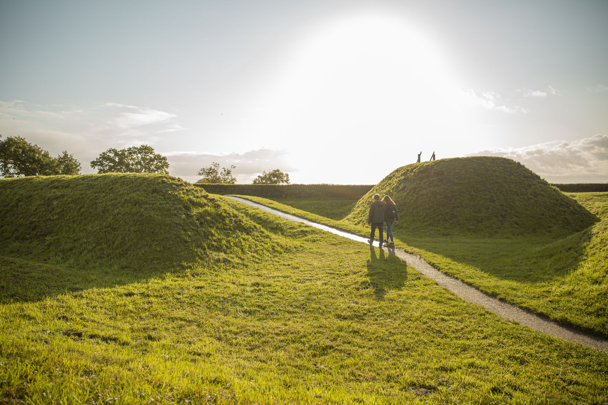
Hiking through a Viking World Heritage Site — Schlei Baltic Sea Fjord
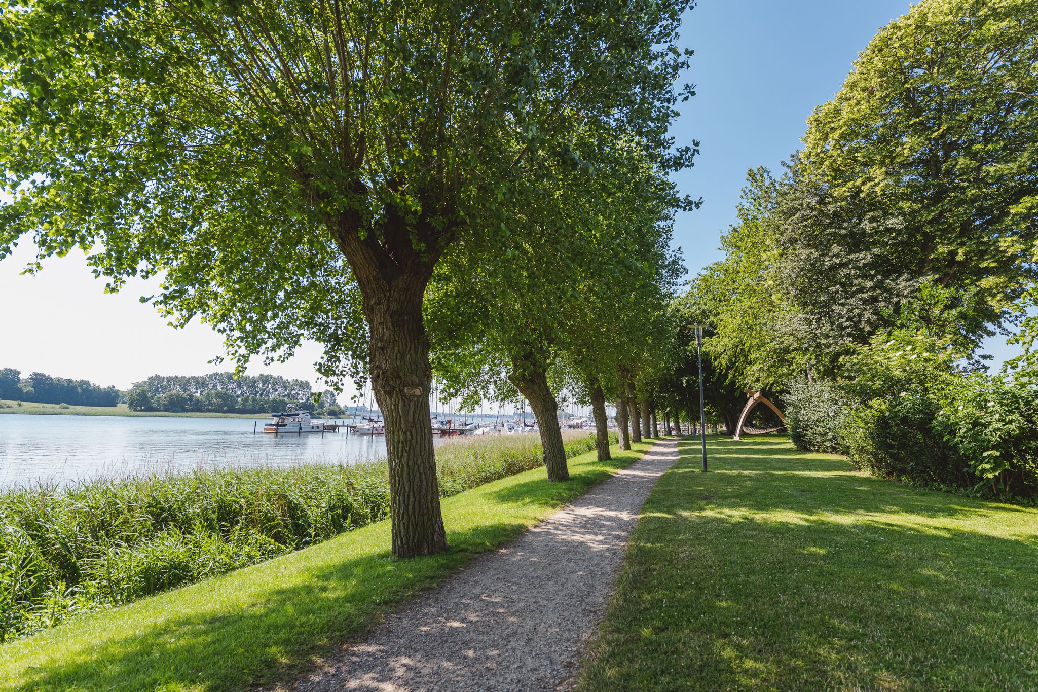
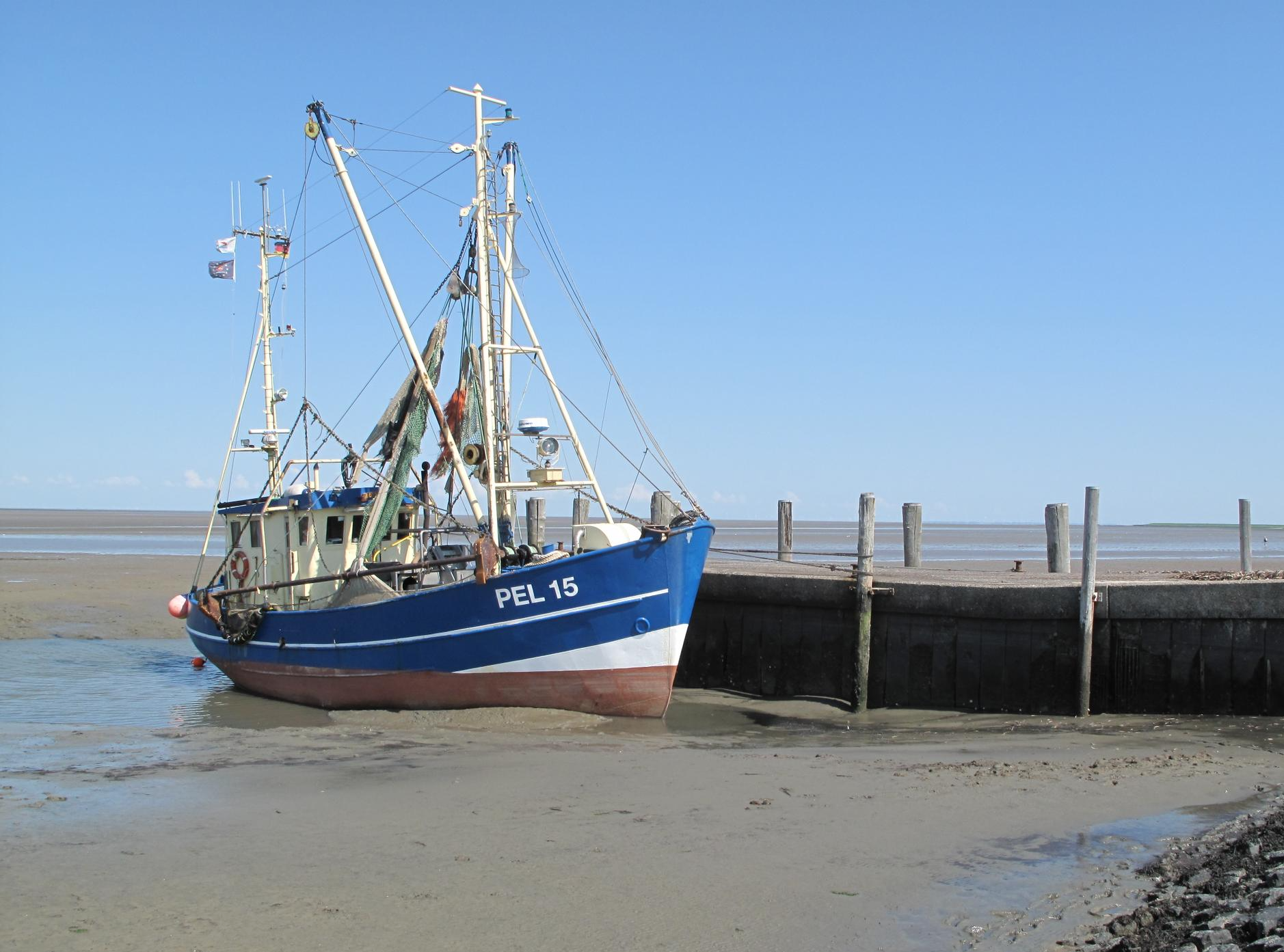
Fishing culture and the Baltic Sea – hiking around Kappeln
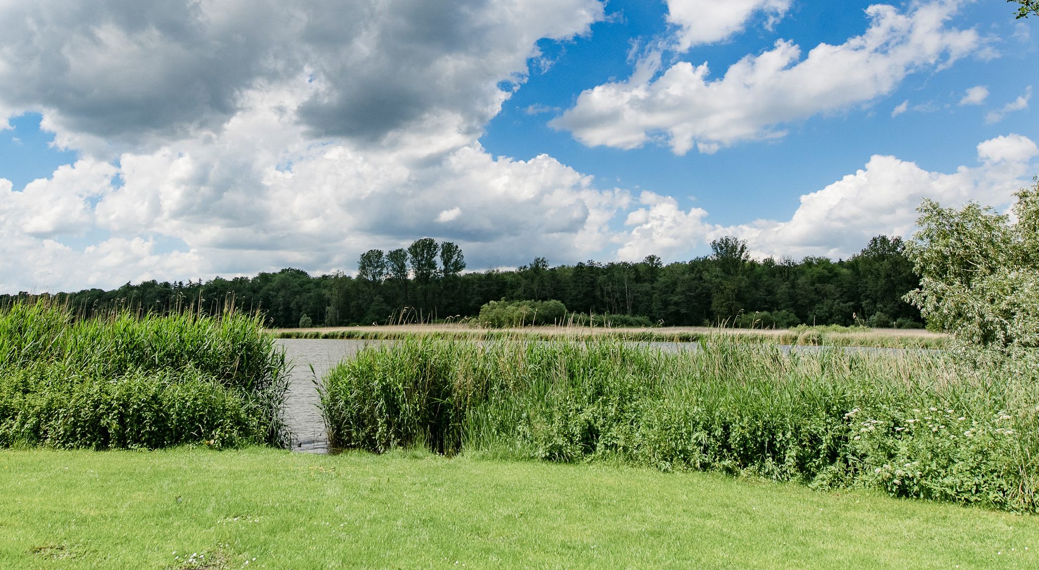
Following in the footsteps of the Vikings – hiking around Schleswig
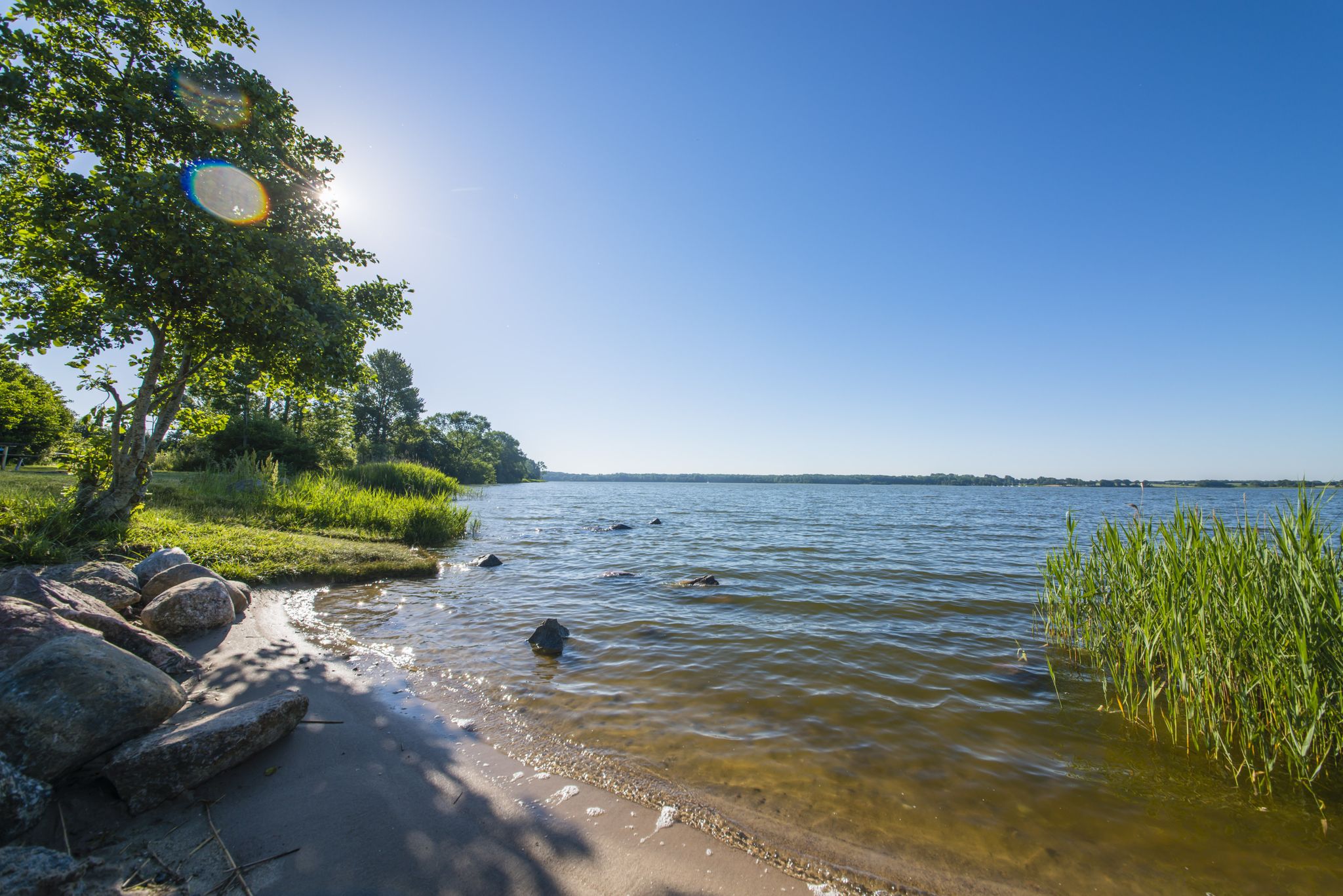
The journey is the destination – hikes along the River Schlei in Germany
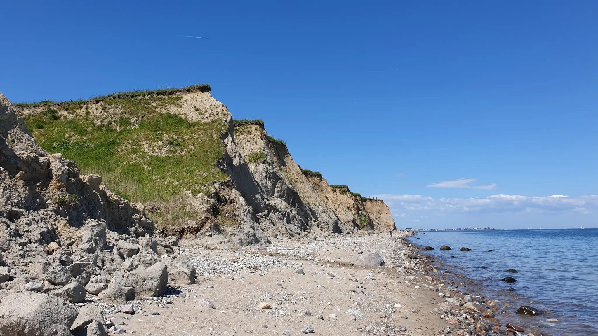
Baltic Sea – wanderlust by the coast
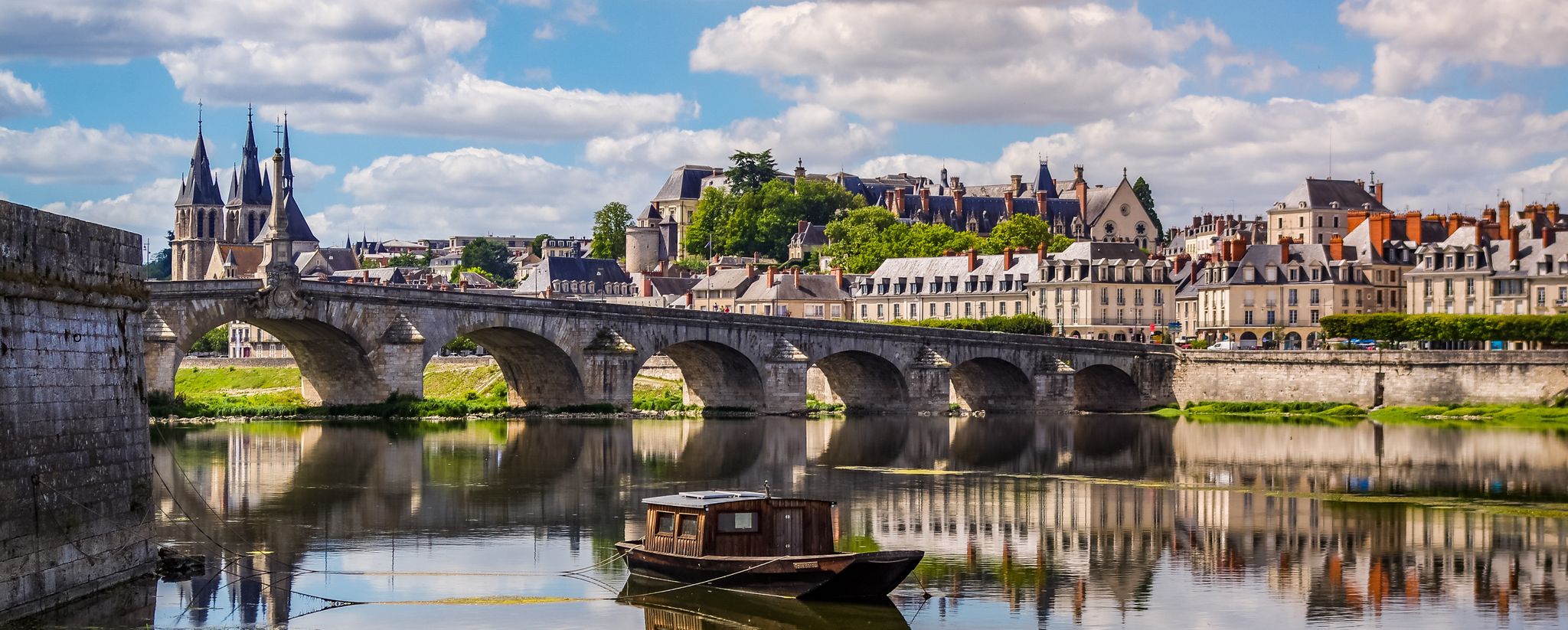
EuroVelo 3 – A cycling pilgrimage from Norway to France
Other adventures in Naturpark Schlei


Tips from the Community

Why is the detour here worthwhile? Because a life without a view of the sea is possible, but not desirable.
0
0

Very nice tour with the R Scooter
0
0

Walking along the unassuming Osterwall, you have a beautiful view of the lower-lying Windebyer Noor.
1
0

The giant in Ulsnis is a landmark that is in very good condition, and there is also a bench here for a break 👍
3
0

Beautifully made ensemble of picture frame, Viking net and rest area
0
0

It is always worth hiking in the area of the Schlei, like here at the narrowest point of the Schlei, and enjoying the peace and quiet while hiking and listening to the birds.
0
0

The Schlei Nature Park is the northernmost of its kind in Germany. The Schlei region is a true natural paradise and home to numerous animal and plant species. With a unique mix of freshwater, brackish, and saltwater habitats, embedded in a diverse cultural landscape, it offers extraordinary diversity. The cultural landscape of the Schlei has been significantly shaped by the people who live and farm here. Today, the Schlei separates two very different landscapes: Angeln and Schwansen. The hilly landscape of Angeln is particularly characterized by small-scale agriculture and a dense hedgerow structure. The nature park was established in 2008 and covers an area of 500 square kilometers. You can find more information here: https://nationale-naturlandschaften.de/gebiete/naturpark-schlei-2.
1
0

The deepest point of the Windebyer Noor[2], at 13.6 metres, is in the north of the lake near the Eckernförde district of Carlshöhe; in the middle, the lake is eleven metres deep. The water of the Windebyer Noor is slightly saline (in different places between over one and a good two PSU[3]). Bulges of the Windebyer Noor are called Schnaaper Bucht (Snap Bugt), Norderhake (Nørrehage), Süderhake (Sønderhage), Südbucht (Sydbugt)[4] and Kochendorfer Bucht.[5] The Norderhake was the connecting arm of the Windebyer Noor to the Eckernförde city harbour.
0
0
Frequently Asked Questions
What kind of landscapes can I expect to see while hiking in Naturpark Schlei?
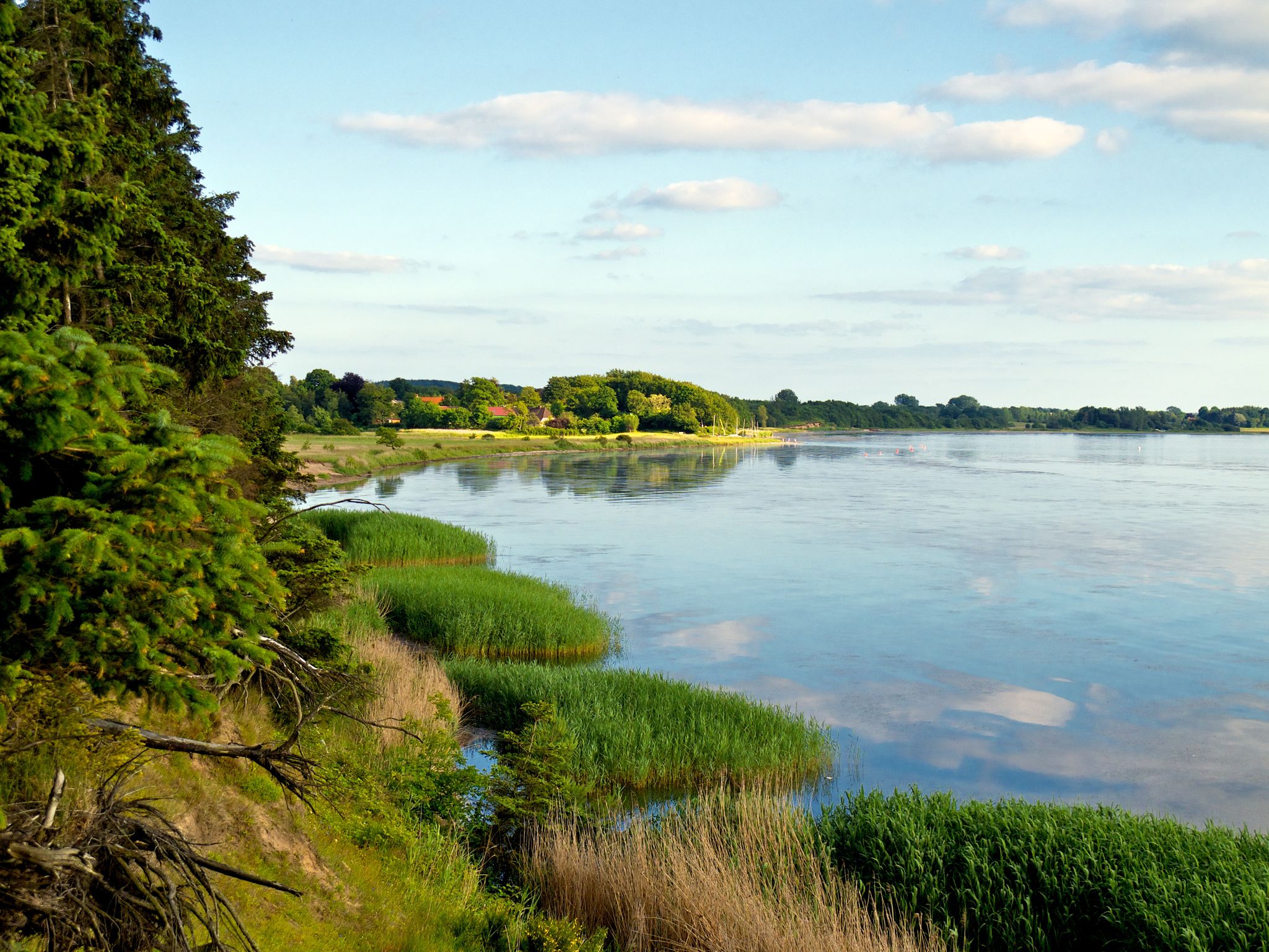
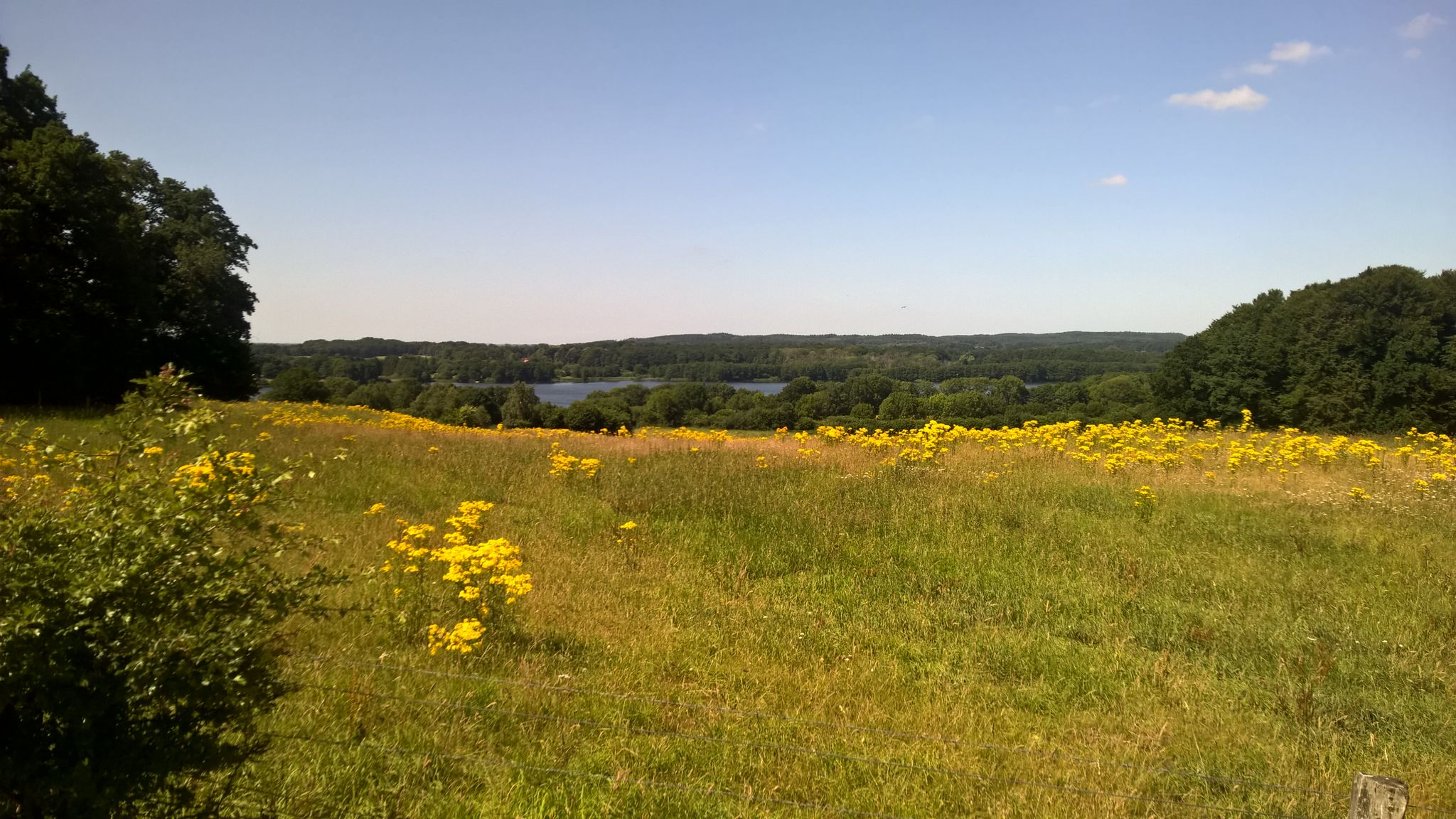
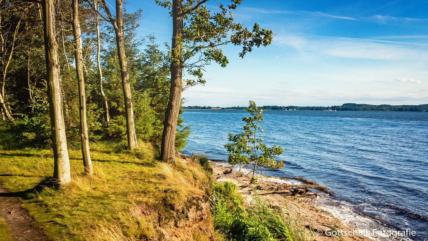
Naturpark Schlei offers a diverse and tranquil environment. You'll hike through gentle hills, lush green beech forests, and distinctive hedgerow landscapes. The trails often lead along the Schlei fjord's shores, characterized by extensive reed beds, wild steep banks, and secluded small bathing coves. You'll also encounter sprawling meadows, idyllic lakes, fields, and charming traditional villages.
What is the general difficulty level of hiking trails in Naturpark Schlei?
The trails in Naturpark Schlei cater to various fitness levels. Out of over 1,100 available routes, approximately 790 are considered easy, 340 are moderate, and about 40 are difficult. This means there are plenty of options for a relaxed stroll or a more challenging trek.
Are there family-friendly hiking options in Naturpark Schlei?
Yes, Naturpark Schlei is well-suited for families. Many of the trails are easy, leading through gentle terrain like meadows and along the tranquil shores of the Schlei. These routes are perfect for all ages to enjoy nature. For example, the easy trail Visiting the giant of Ulsnis is a great option for a shorter, pleasant walk.
Can I bring my dog on the hiking trails in Naturpark Schlei?
Naturpark Schlei is generally dog-friendly, with many trails suitable for walks with your canine companion. However, it's always recommended to keep dogs on a leash, especially in nature reserve areas or near livestock, to protect wildlife and ensure a pleasant experience for everyone. Always check local signage for specific restrictions.
What cultural or historical sites can I explore while hiking in the region?
The region is rich in history and culture. You can explore charming towns like Kappeln, known for its bascule bridge (Kappeln Bascule Bridge) and historic herring fence, or visit Arnis (Arnis — Germany's smallest town), Germany's smallest town. The park is also home to the UNESCO World Heritage Sites of Haithabu and Danewerk, offering insights into Viking history and early medieval fortifications.
Are there any circular hiking routes in Naturpark Schlei?
Yes, there are numerous circular routes available for hikers who prefer to start and end in the same location. An example is the easy Schlei Lakeside View – Cliffs of Missunde loop from Weseby, which offers scenic views and a pleasant walk without needing to retrace your steps.
What are some notable natural attractions or viewpoints along the trails?
Hikers can discover several beautiful natural attractions and viewpoints. The View of the Schlei near Lindaunis offers picturesque vistas of the fjord. You can also explore the Schlei Estuary Nature Reserve or the Schleimünde Nature Reserve & Pilot Island, which are significant for bird conservation and offer unique natural experiences.
How can I reach the hiking trails in Naturpark Schlei using public transport?
While specific public transport connections vary by starting point, the region has some options. Ferries and bridges in locations like Missunde (Missunde Ferry across the Schlei), Lindaunis, Arnis, and Kappeln provide convenient crossings of the Schlei, which can be integrated into your hiking plans. It's advisable to check local bus schedules for connections to specific trailheads.
What is the best time of year to go hiking in Naturpark Schlei?
Naturpark Schlei offers pleasant hiking experiences throughout much of the year. Spring brings blooming landscapes, while summer allows for combining hikes with swimming in the Baltic Sea. Autumn showcases beautiful foliage in the beech forests. Even winter can be charming for tranquil walks, though conditions may vary. The region's mild climate generally makes it accessible for outdoor activities for many months.
What do other hikers say about their experience in Naturpark Schlei?
The hiking trails in Naturpark Schlei are highly rated by the komoot community, with an average score of 4.5 stars from over 9,000 reviews. Hikers often praise the varied terrain, the tranquil atmosphere along the Schlei fjord, and the well-maintained paths that lead through forests, meadows, and charming villages.
Are there any longer, more challenging routes for experienced hikers?
Yes, for those seeking a longer challenge, there are routes like the moderate Windebyer Noor Loop, which covers over 18 kilometers. While the region is known for its gentle hills, these longer trails provide an extended experience through diverse landscapes, including forests and along the Noore (lagoons).
Most popular routes in Naturpark Schlei
Most popular attractions in Naturpark Schlei

Get inspired with the komoot mobile app


Explore more
Browse the best Hikes in other regions.
