The best road cycling routes in Elbvorland Zwischen Stiepelse Und Neu Bleckede
4.6
(103)
1,504
riders
55
rides
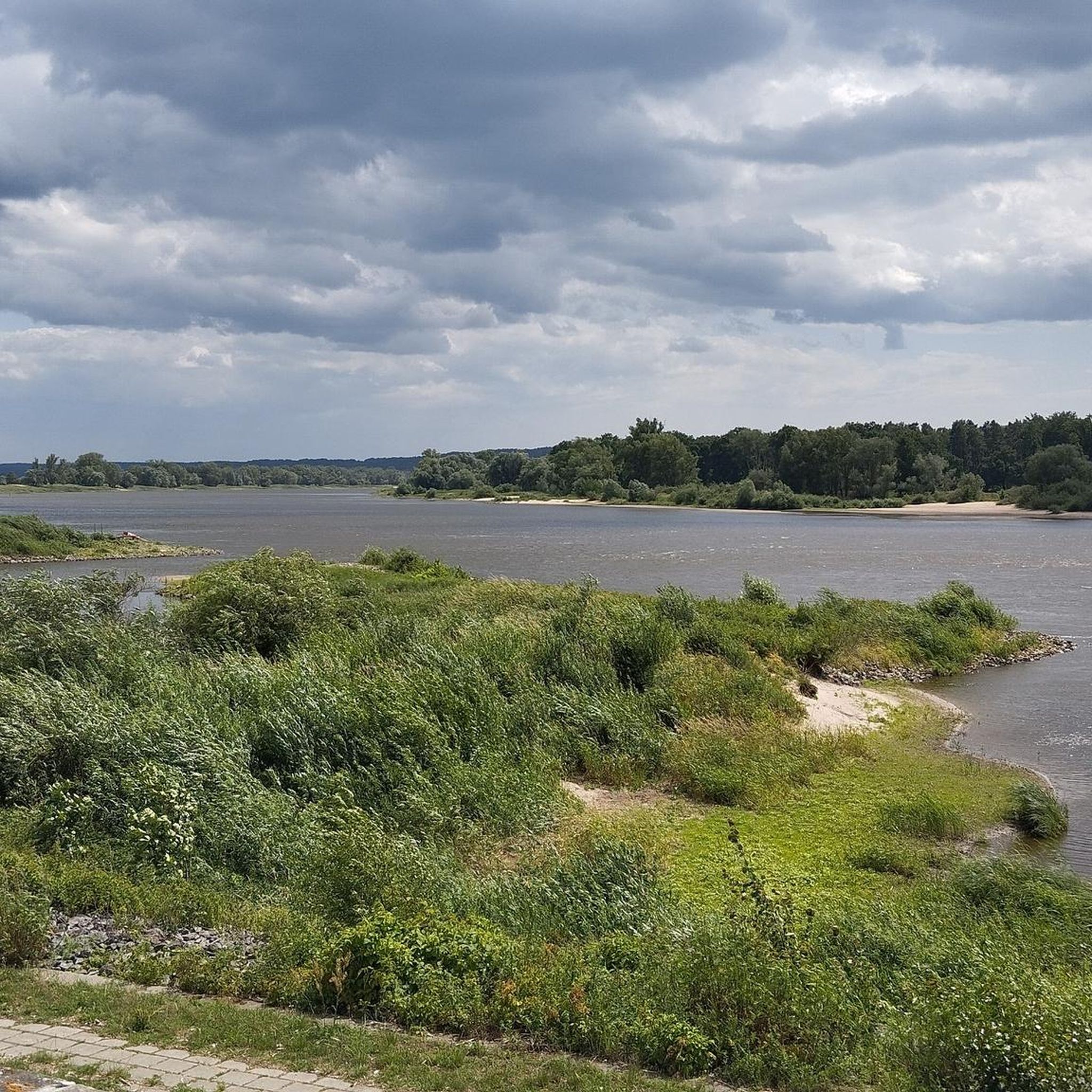
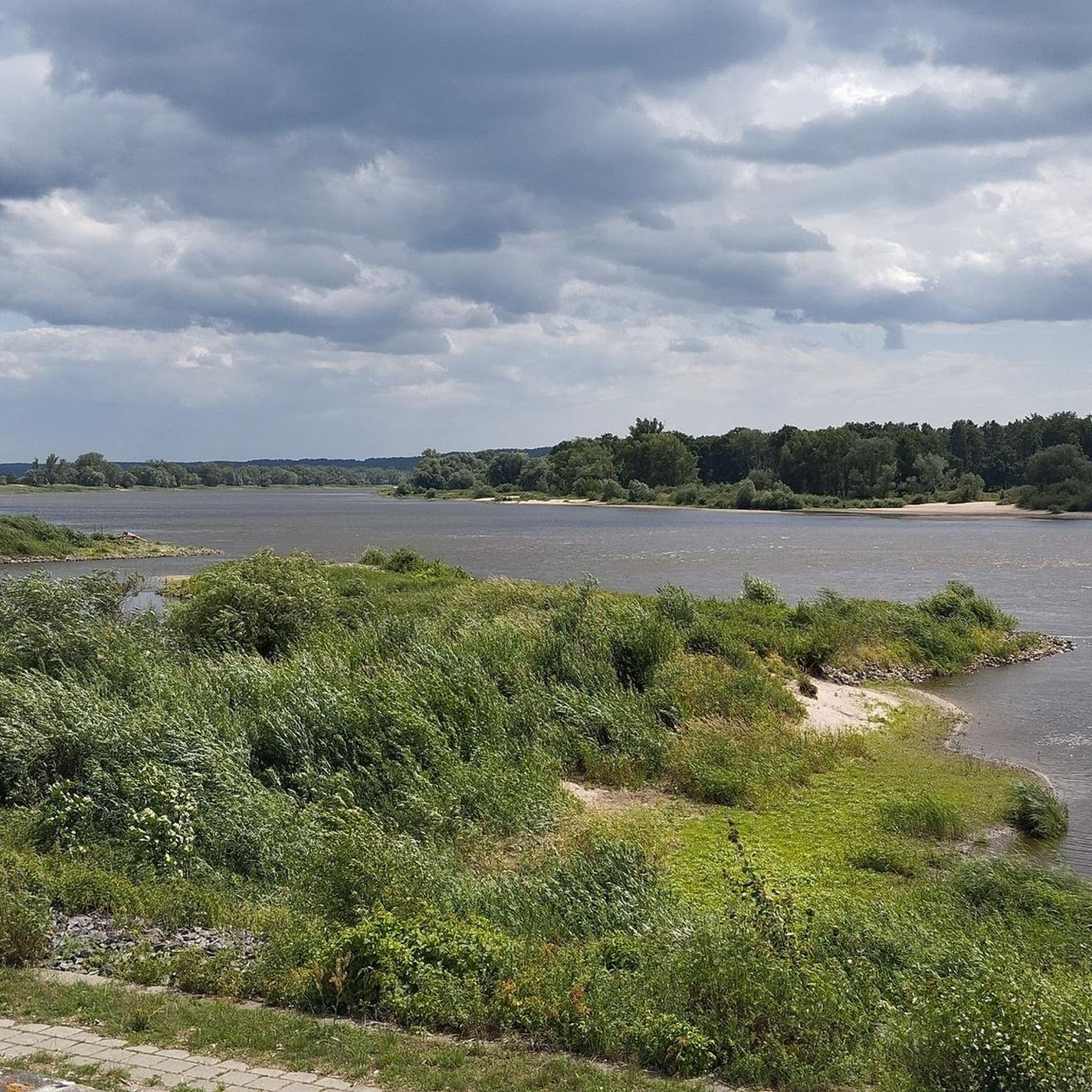
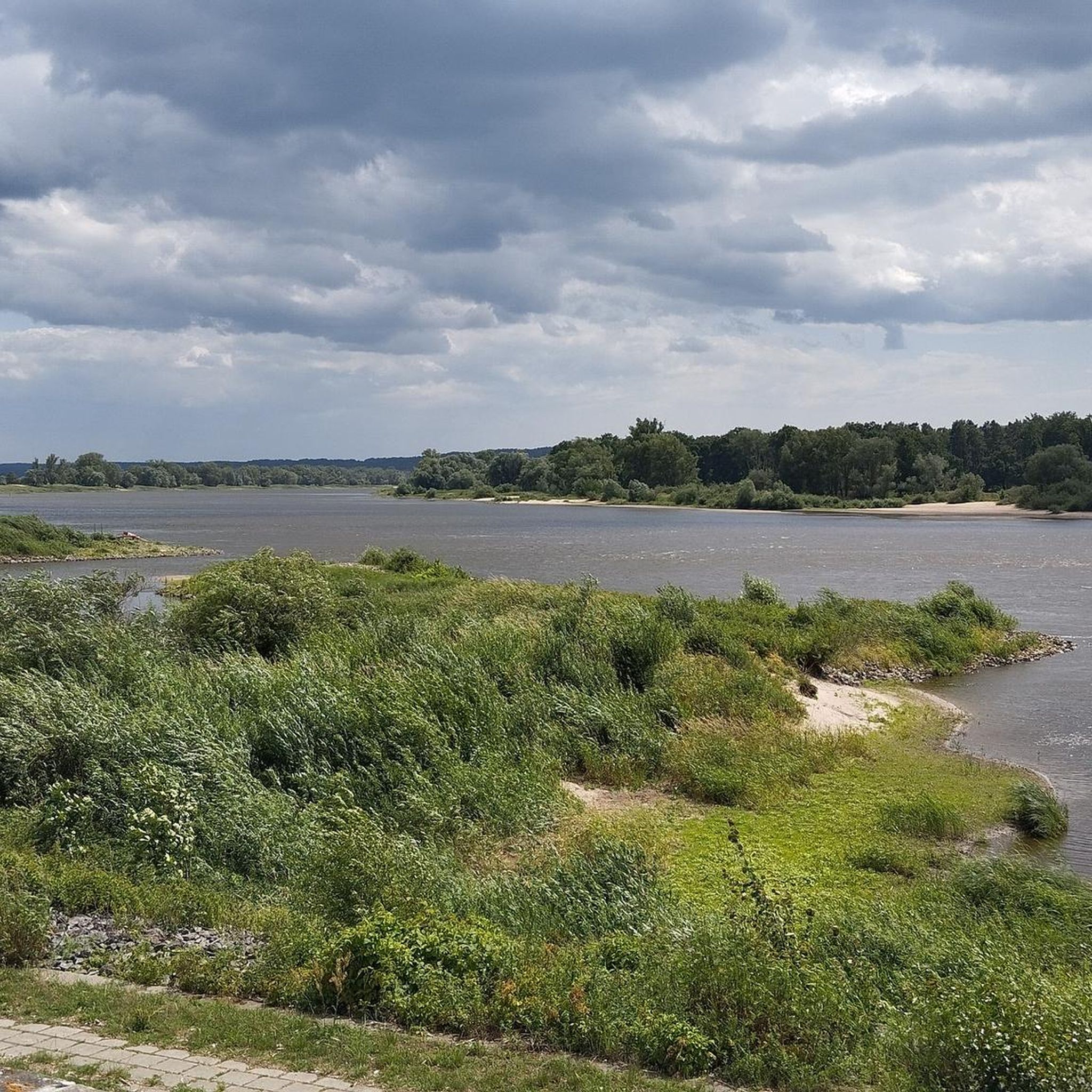
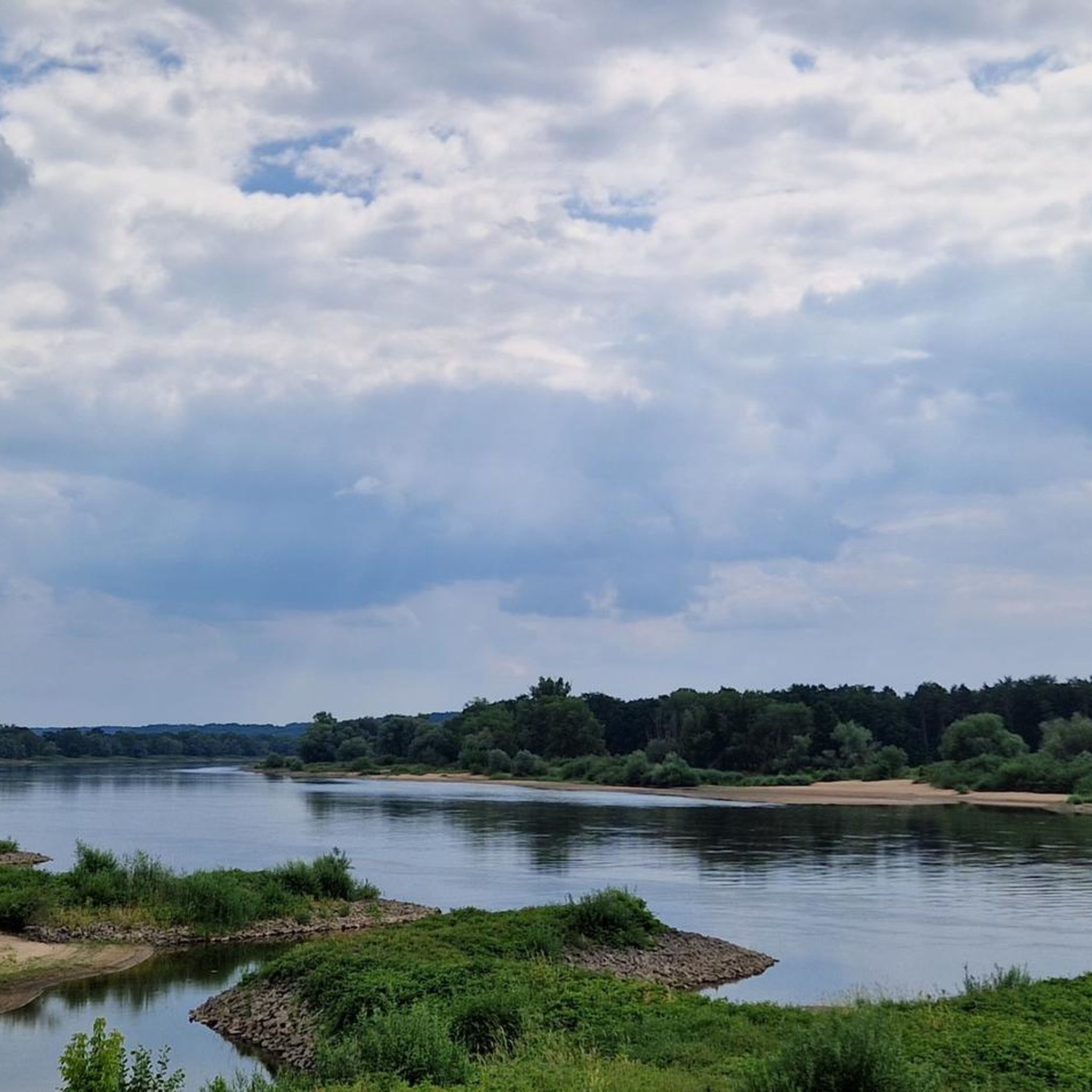
Road cycling in Elbvorland Zwischen Stiepelse Und Neu Bleckede offers routes through a diverse and largely untouched natural environment within the Lower Saxony Elbe Valley Biosphere Reserve. The region is characterized by the Elbe River, its broad floodplains, and dikes, providing a predominantly flat terrain ideal for road cycling. Well-maintained concrete roads, particularly along the Elbe Cycle Path, connect areas between Stiepelse and Neu Bleckede, ensuring pleasant and scenic rides. This landscape features a mix of diverse grasslands, oxbow lakes,…
Last updated: July 12, 2026
4.9
(8)
71
riders
104km
04:45
320m
320m
Moderate road ride. Good fitness required. Some segments of this route may be unpaved and difficult to ride.
4.6
(5)
24
riders
Moderate road ride. Great for any fitness level. Some segments of this route may be unpaved and difficult to ride.

Sign up for free
23
riders
Moderate road ride. Great for any fitness level. Some segments of this route may be unpaved and difficult to ride.
5.0
(1)
10
riders
65.8km
03:00
460m
460m
Moderate road ride. Good fitness required. Some segments of this route may be unpaved and difficult to ride.
2.0
(1)
8
riders
Easy road ride. Great for any fitness level. Mostly well-paved surfaces and easy to ride.
Get access to more routes and recommendations from other explorers.
Sign up for free
Already have an account?
Our route recommendations are based on thousands of hikes, rides, and runs completed by other people on komoot.
Start today with a free account
Your next adventure awaits.
Login or Signup
Popular around Elbvorland Zwischen Stiepelse Und Neu Bleckede
Tips from the Community

As I said: Unfortunately boarded up and therefore unusable!
0
0
I enjoyed the peace and solitude of the area.
0
0
A short stop for reading. Then it continues.
0
0

Unfortunately it was closed and blocked off.
0
0

The former border watchtower south of Boizenburg was once part of the GDR border security regime and stood at a checkpoint/crossing on the Elbberg. It was part of the five-kilometer exclusion zone, through which residents were only allowed to enter with a pass; the tower served to observe and control passenger and freight traffic. Today, it is preserved and incorporated into the Elbberg Museum in Boizenburg as a memorial to the inner-German border.
0
0

In my opinion, in moderate traffic, the road is clearly the better alternative.
1
0

Simply beautiful! Wavy along the Elbe!
0
0

The town hall of Boizenburg was built in 1712. It is located in the town centre of Boizenburg/Elbe, directly on the market square in the immediate vicinity of the town church of St. Mary.
1
0
Frequently Asked Questions
What is the general terrain like for road cycling in Elbvorland Zwischen Stiepelse Und Neu Bleckede?
The Elbvorland region offers predominantly flat terrain, ideal for road cycling. Routes often follow well-maintained concrete roads, especially along the Elbe Cycle Path, with minimal elevation changes. You'll find yourself cycling through broad floodplains and along dikes, providing expansive views of the Elbe River landscape.
Are there any easy road cycling routes suitable for beginners or families?
Yes, the region is well-suited for easy rides due to its flat profile. An excellent option for an easier ride is the Bleckede–Neetze Cycle Path – Village Church of Radegast loop from Bleckede, which is rated as easy and covers about 37 km. Many sections of the Elbe Cycle Path are also very accessible and family-friendly.
What kind of natural landscapes and wildlife can I expect to see while cycling?
The Elbvorland is part of the Lower Saxony Elbe Valley Biosphere Reserve, offering a diverse and largely untouched natural environment. You'll cycle through succession areas, diverse grasslands, and past numerous water bodies like oxbow lakes and old river arms. The region is a habitat for rare species, including beavers, otters, various amphibians, and a wide array of bird species, making it a rich area for nature observation.
Are there any notable landmarks or viewpoints along the road cycling routes?
Absolutely. You can visit the Former Border Watchtower Neu Bleckede, which offers a glimpse into the region's history. For panoramic views, consider the observation tower at the Biosphaerium Elbtalaue in Bleckede, or the over 15-meter-high wooden observation tower in Mahnkenwerder, directly on the Elbe Cycle Path, offering unlimited views of the Elbtalaue landscape.
Where can I find parking for road cycling routes in the Elbvorland region?
Many routes, particularly those starting from Bleckede, offer convenient parking options. For instance, routes like the Kniepenberg Observation Tower – Bleckede Elbe Ferry loop from Bleckeder Hafen often begin near accessible parking areas in Bleckede, which serves as a central hub for many cycling tours.
What is the best time of year to go road cycling in Elbvorland Zwischen Stiepelse Und Neu Bleckede?
The spring, summer, and early autumn months are generally the best for road cycling in the Elbvorland. During these seasons, the weather is most favorable, and the natural landscapes are at their most vibrant. The well-maintained paths along the Elbe Cycle Path are enjoyable throughout these periods.
Are there any circular road cycling routes available?
Yes, many of the routes in the Elbvorland are designed as loops, allowing you to start and end at the same point. For example, the Bleckede Elbe Ferry – Elbe Ferry Bleckede–Neu Bleckede loop from Bleckeder Hafen is a popular moderate circular route that highlights the Elbe River with multiple ferry connections.
What do other road cyclists enjoy most about cycling in this region?
The Elbvorland Zwischen Stiepelse Und Neu Bleckede is highly rated by the komoot community, with an average score of 4.6 stars from over 100 reviews. Cyclists frequently praise the region's flat, well-maintained paths, the scenic beauty of the Elbe River and its floodplains, and the peaceful, natural environment of the Biosphere Reserve.
Are there opportunities to cross the Elbe River during a road cycling tour?
Yes, the Elbe ferries are an integral part of the cycling experience in this region. Ferries, such as the inexpensive Elbe ferry between Bleckede and Wittenberge, provide convenient crossings, allowing cyclists to explore both sides of the river and integrate unique perspectives into their routes. The Bleckede Elbe Ferry – Boizenburg Town Hall loop from Bleckeder Hafen is one route that incorporates a ferry crossing.
Are there places to eat or stay near the cycling routes?
The historic town of Bleckede, a central point for many routes, offers various amenities including cafes, pubs, and accommodation options. Along the routes, you might also find smaller establishments in villages. For example, Räucherkate Stiepelse is a restaurant located directly in Stiepelse, a village on the Elbe dike.
How many road cycling routes are available in Elbvorland Zwischen Stiepelse Und Neu Bleckede?
There are over 50 road cycling routes available in the Elbvorland Zwischen Stiepelse Und Neu Bleckede region, offering a wide variety of options for different preferences and skill levels.
What kind of historical sites can be found in the area?
Beyond the natural beauty, the region holds historical significance. You can visit the Former Border Watchtower Neu Bleckede, which stands as a monument to the region's past. The historic town of Bleckede itself features a castle tower, offering fantastic views and a sense of local history.
Most popular routes in Elbvorland Zwischen Stiepelse Und Neu Bleckede
Most popular attractions in Elbvorland Zwischen Stiepelse Und Neu Bleckede

Get inspired with the komoot mobile app


Explore more
Browse the best Road cycling routes in other regions.
