The best road cycling routes in Blütlinger Holz
4.6
(49)
720
riders
94
rides
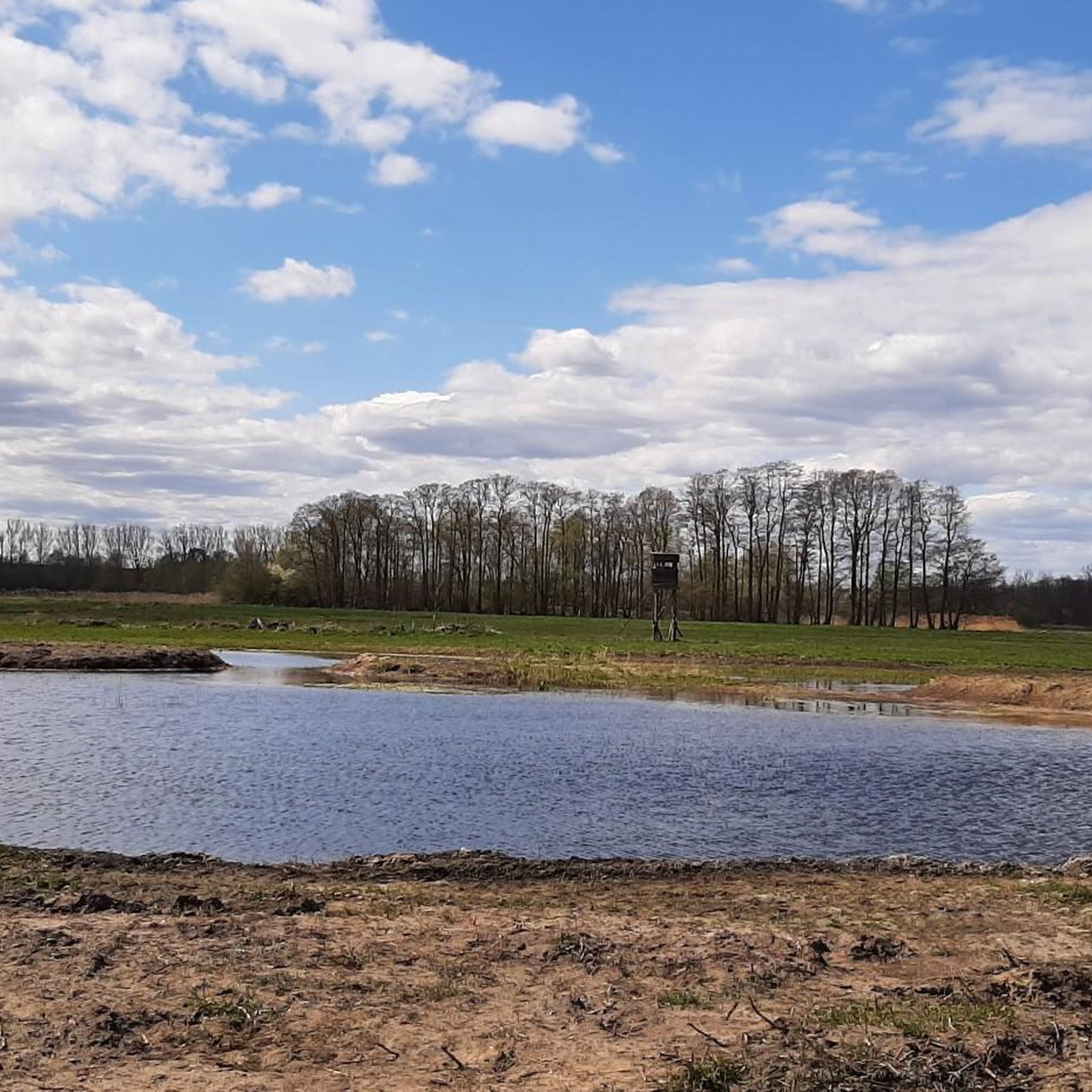
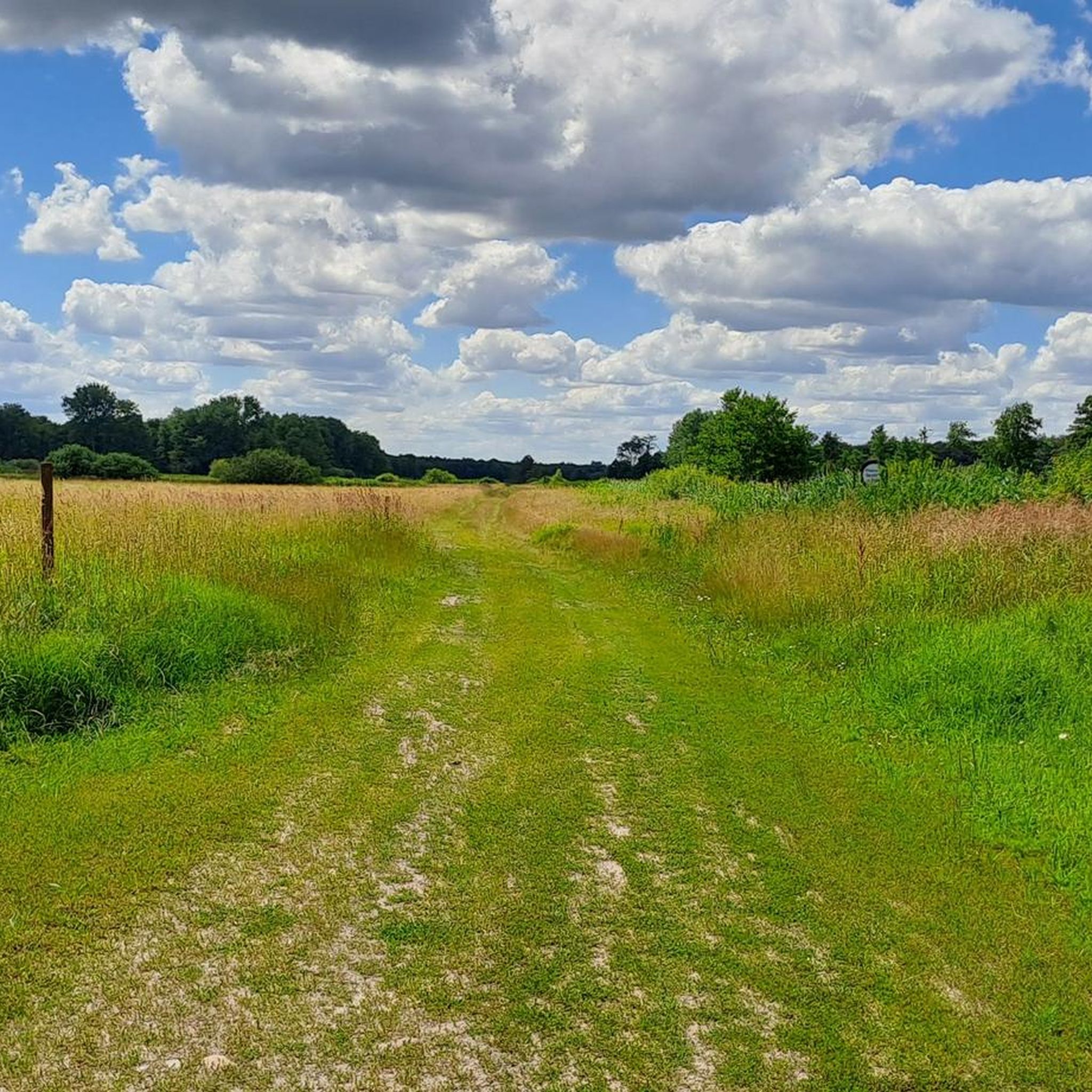
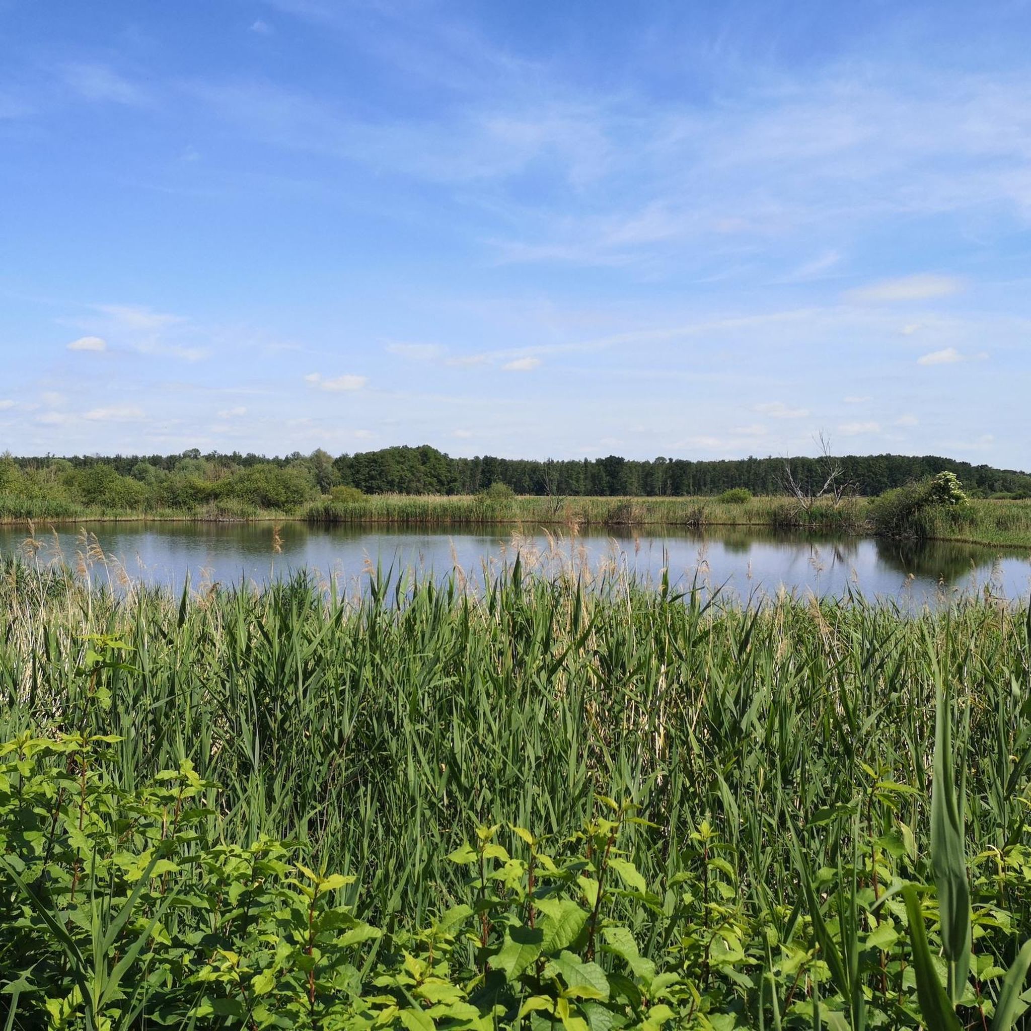
Road cycling in Blütlinger Holz offers routes through a nature reserve characterized by diverse ecosystems within the Naturpark Wendland.Elbe. The area features alder carr forests, mixed oak and beech forests, and various wetlands, providing varied natural backdrops. The landscape is preserved from heavy development, ensuring quiet roads and scenic routes. The terrain is generally flat, with elevations ranging from 17 to 36 meters above sea level, making it suitable for longer, less strenuous rides.
Best road cycling routes in Blütlinger…
Last updated: August 21, 2026
23
riders
Moderate road ride. Good fitness required. Mostly well-paved surfaces and easy to ride.
3
riders
Moderate road ride. Great for any fitness level. Some segments of this route may be unpaved and difficult to ride.

Sign up for free
3
riders
57.4km
02:18
200m
200m
Moderate road ride. Good fitness required. Mostly well-paved surfaces and easy to ride.
4.5
(2)
22
riders
29.8km
01:18
80m
80m
Easy road ride. Great for any fitness level. Mostly well-paved surfaces and easy to ride.
5.0
(4)
18
riders
50.8km
02:05
120m
120m
Moderate road ride. Good fitness required. Some segments of this route may be unpaved and difficult to ride.
Get access to more routes and recommendations from other explorers.
Sign up for free
Already have an account?
Our route recommendations are based on thousands of hikes, rides, and runs completed by other people on komoot.
Start today with a free account
Your next adventure awaits.
Login or Signup
Popular around Blütlinger Holz
Tips from the Community

The water tower, completed in 1909, is an interesting photo motif. The tower head is no longer original; it was renewed in 1956/57. The original tower head was built of bricks and had a cylindrical shape, whereas the renewed tower head was built in a conical shape.
0
0

The original Lüchower Tor was a typical Gothic stepped gable building and was demolished in 1837/38 due to dilapidation. In its place, a new gate structure was built in 1840 with four sandstone pillars and double leaf gates made of oak wood. Until the completion of the structure, smugglers had free rein for years. This was a nuisance for the main customs office. It reported in 1838 that no adequate security was guaranteed against the nocturnal smuggling of taxable goods. The outer pillars with castle battlement-like crowns and the small passage gate fitted with masonry stones are remnants of the 1840 structure. The two inner pillars along with the gates were removed in 1892 to make way for increasing traffic. The Schäfergraben once flowed along behind the gate. https://entdecke-salzwedel.de/luechower-tor/
2
0
The Karlsturm is a mighty, round brick tower on a fieldstone base, built around 1370. It is the remnant of the former Altpervertoranlage and represented the strongest fortification of the city at that time. It was originally 150 meters long and consisted of an inner gate, a zwinger, and two outer gates on the Jeetze river diversion (city moat). The outer gate was demolished in 1812, the main gate fell victim to growing traffic in 1856, and the drawbridge had already been removed in 1653. The tower is about 27 meters high, has a wall thickness of approx. 1.90 meters, and a diameter of 8.80 meters. Originally, it consisted of four floors, divided by three cross vaults. Today, only the lower floor has been preserved. Its pointed roof collapsed around 1800 and was later restored. The Karlsturm is decorated with a pointed arch frieze and displays the coats of arms of the German Emperor, the seven Electorates, and the two cities of Salzwedel. In the central niche stands a stone sculpture, originally interpreted as Emperor Henry V, but later identified as Emperor Charles IV. The tower's name was therefore changed from Heinrichsturm to Karlsturm in 1833. Over time, the tower served as a warehouse for goods and ice, which brought about some structural changes. There were proposals to convert the tower into a water tower or a tower café, which, however, were not implemented. https://entdecke-salzwedel.de/karlsturm/
2
0
The Steintor in the Hanseatic city of Salzwedel is the most recent of the formerly ten medieval city gates. It was built around 1530, incorporating an older round tower that formerly served as a prison. The gate, in the North German Brick Gothic style, is located at the Neustädter Wallfriedhof and marks the historic northern entrance to the fortified old town. The gable shows late Gothic ornaments on both sides. The gate is one of the few preserved ones and can still be passed by cars and pedestrians. https://www.fachwerkfreunde.de/index.php/bundeslaender/sachsen-anhalt/salzwedel/artikel-steintor-937
2
0
The St. Catherine's Church in the Hanseatic city of Salzwedel is a significant, three-nave Gothic brick basilica. The documented construction start of the house of worship dates back to the year 1280. It was built as the main parish church for the then newly founded Salzwedel Neustadt. After the founding of the Neustadt (1247), the church was designed as a purely community church, which is why historically there was no separation between the chancel and the nave. While the massive tower base still bears Romanesque features, North German brick Gothic dominates the rest of the building. In the mid-15th century, the complex was extended to the west with a Late Gothic hall. During the GDR era, the building was acutely threatened by decay and demolition. Only through the massive, courageous commitment of the community members could the church be saved. During the Wende in autumn 1989, it was a central place for local peace prayers. As the church, located near the old Hanseatic port, is presumably built on marshy ground, its structural integrity has suffered from cracks for centuries; extensive renovations (supported, among others, by the German Foundation for Monument Protection) secure the foundation and the tie rods. Since 1981, the chancel has housed the valuable Late Gothic carved altarpiece from the Dambeck monastery church, which shows the rare depiction of a unicorn fleeing into the lap of the Virgin Mary. The original high altar was sold to Frankfurt Cathedral in the 19th century to finance renovations. Three of the originally nine colored glass windows from the 15th century have been preserved. They survived World War II unscathed because they were stored away in time. https://gemeinde-bunt.de/gemeinden/st-katharinenkirche
2
0

would probably have been destroyed in the Second World War
0
0

The Brothaus Stahlbock in Lüchow is far more than an ordinary bakery – it is a true institution in the Wendland with an impressive family tradition.
0
0
Lübbow is a small, idyllic municipality in the district of Lüchow-Dannenberg in Lower Saxony, located directly on the state border with Saxony-Anhalt. As it is only about 10 to 12 kilometers away from the Hanseatic city of Salzwedel, the connection there is very close.
0
0
Frequently Asked Questions
How many road cycling routes are available in Blütlinger Holz?
Blütlinger Holz offers nearly 100 road cycling routes. These include 37 easy routes, 60 moderate routes, and 2 more challenging options, ensuring there's a suitable path for every skill level.
What kind of terrain and elevation can I expect on road cycling routes in Blütlinger Holz?
The region is characterized by low elevation gains, making it generally accessible for road cyclists. Routes often traverse the perimeter of the nature reserve, offering mostly paved surfaces through diverse ecosystems like alder carr forests and mixed oak and beech woodlands. The focus is on scenic, tranquil rides rather than steep climbs.
Are there any circular road cycling routes in Blütlinger Holz?
Yes, many of the road cycling routes in Blütlinger Holz are designed as loops. For example, the Nemitzer Heath – Lucie Canal Bridge loop from Wustrow is a popular easy option, and the Gorleben village church – Thurauer Tower loop from Bösel offers a moderate, varied terrain experience.
What are the best times of year for road cycling in Blütlinger Holz?
Road cycling in Blütlinger Holz is enjoyable through much of the year. Spring and autumn offer particularly beautiful scenery with changing foliage and comfortable temperatures. The diverse forest types provide a picturesque backdrop that transforms with the seasons. Summer is also pleasant, especially on shaded routes.
Are there family-friendly road cycling options in Blütlinger Holz?
Yes, Blütlinger Holz has several family-friendly road cycling routes, particularly among the 37 easy routes available. These paths typically feature low elevation gain and quiet roads, making them suitable for cyclists of varying ages and abilities. The tranquil, preserved landscape provides a safe and enjoyable environment for families.
Can I bring my dog on road cycling routes in Blütlinger Holz?
While the nature reserve prioritizes conservation, many surrounding roads and paths are suitable for cycling with a well-behaved dog, provided they are kept on a leash and you adhere to local regulations. Always ensure your dog is comfortable with the distance and pace, and carry enough water for both of you.
What natural features or viewpoints can I expect to see while road cycling?
Road cyclists will encounter diverse natural features, including alder carr forests, mixed oak and beech forests, and various wetlands with reed beds. The area's designation as a nature reserve within the Naturpark Wendland.Elbe means you'll experience a preserved landscape with quiet roads and scenic views of its natural beauty. While traditional viewpoints are sparse, the immersion in nature is the primary draw.
Are there specific regulations for cycling within the Blütlinger Holz nature reserve?
As a nature reserve, Blütlinger Holz prioritizes conservation. While cycling is generally permitted on designated roads and paths, it's crucial to stay on marked routes to protect the sensitive ecosystems and endangered species. Respect the tranquility of the area and avoid disturbing wildlife. Specific permits are not typically required for cycling on public roads.
Where can I find parking for road cycling in Blütlinger Holz?
Parking is generally available in the surrounding municipalities, such as Wustrow (Wendland) or Bösel, which serve as common starting points for routes. From these locations, you can easily access the road network that traverses the perimeter of the nature reserve.
What do other road cyclists enjoy most about road cycling in Blütlinger Holz?
The area is highly rated by the komoot community, with an average score of 4.5 stars from over 30 reviews. Cyclists frequently praise the quiet roads, the diverse and preserved natural landscapes, and the opportunity for peaceful, scenic rides through the tranquil Wendland.Elbe Natural Park.
Are there any cafes, pubs, or accommodation options near Blütlinger Holz for cyclists?
While Blütlinger Holz itself is a nature reserve, the nearby towns and villages like Wustrow (Wendland) offer various amenities. You can find cafes, pubs, and accommodation options there, providing convenient stops for refreshments or overnight stays before or after your ride.
What is the longest road cycling route available in the area?
One of the longer routes is the Kniepenberg Observation Tower – Kniepenberg Observation Tower loop from Wustrow, which covers approximately 62.8 miles (101 km) and features moderate difficulty with significant elevation gain for the region.
Is public transport available to reach Blütlinger Holz for cycling?
Public transport options to the vicinity of Blütlinger Holz are available, primarily connecting to larger towns like Wustrow (Wendland). From there, you can start your cycling tour. It's advisable to check local bus schedules and bike transport policies in advance.
Most popular routes in Blütlinger Holz

Get inspired with the komoot mobile app


Explore more
Browse the best Road cycling routes in other regions.
