The best walks and hikes in Blütlinger Holz
4.6
(465)
1,808
hikers
249
hikes
Hiking in Blütlinger Holz offers routes through a nature reserve characterized by diverse forest types and wetland ecosystems. The area features extensive alder carr forests and mixed oak and beech forests, providing varied arboreal landscapes. Significant reed beds and large sedge areas contribute to its ecological diversity within the Naturpark Wendland.Elbe. This protected habitat is known for its natural development and serves as a vital area for numerous species.
Best hiking trails in Blütlinger Holz
- The most popular hiking route…
Last updated: June 28, 2026
5.0
(1)
1
hikers
7.06km
01:47
10m
10m
Easy hike. Great for any fitness level. Easily-accessible paths. Suitable for all skill levels.
4
hikers
8.42km
02:08
20m
20m
Moderate hike. Good fitness required. Easily-accessible paths. Suitable for all skill levels.

Sign up for free
5.0
(2)
2
hikers
7.44km
01:52
10m
10m
Easy hike. Great for any fitness level. Easily-accessible paths. Suitable for all skill levels.
3
hikers
4.13km
01:03
10m
10m
Easy hike. Great for any fitness level. Easily-accessible paths. Suitable for all skill levels.
4.3
(3)
10
hikers
7.92km
02:00
10m
10m
Moderate hike. Good fitness required. Easily-accessible paths. Suitable for all skill levels.
Get access to more routes and recommendations from other explorers.
Sign up for free
Already have an account?
Our route recommendations are based on thousands of hikes, rides, and runs completed by other people on komoot.
Start today with a free account
Your next adventure awaits.
Login or Signup
Tips from the Community

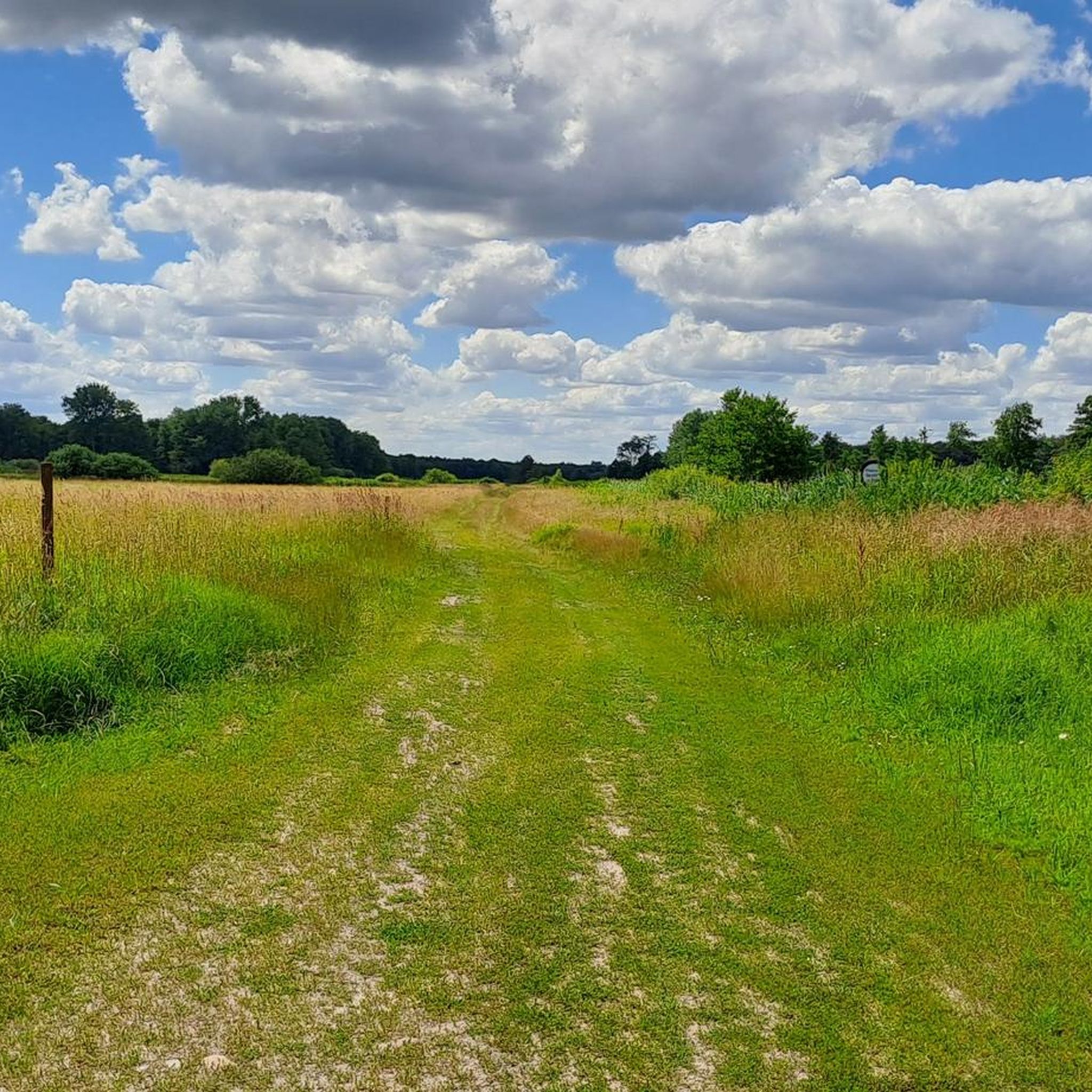
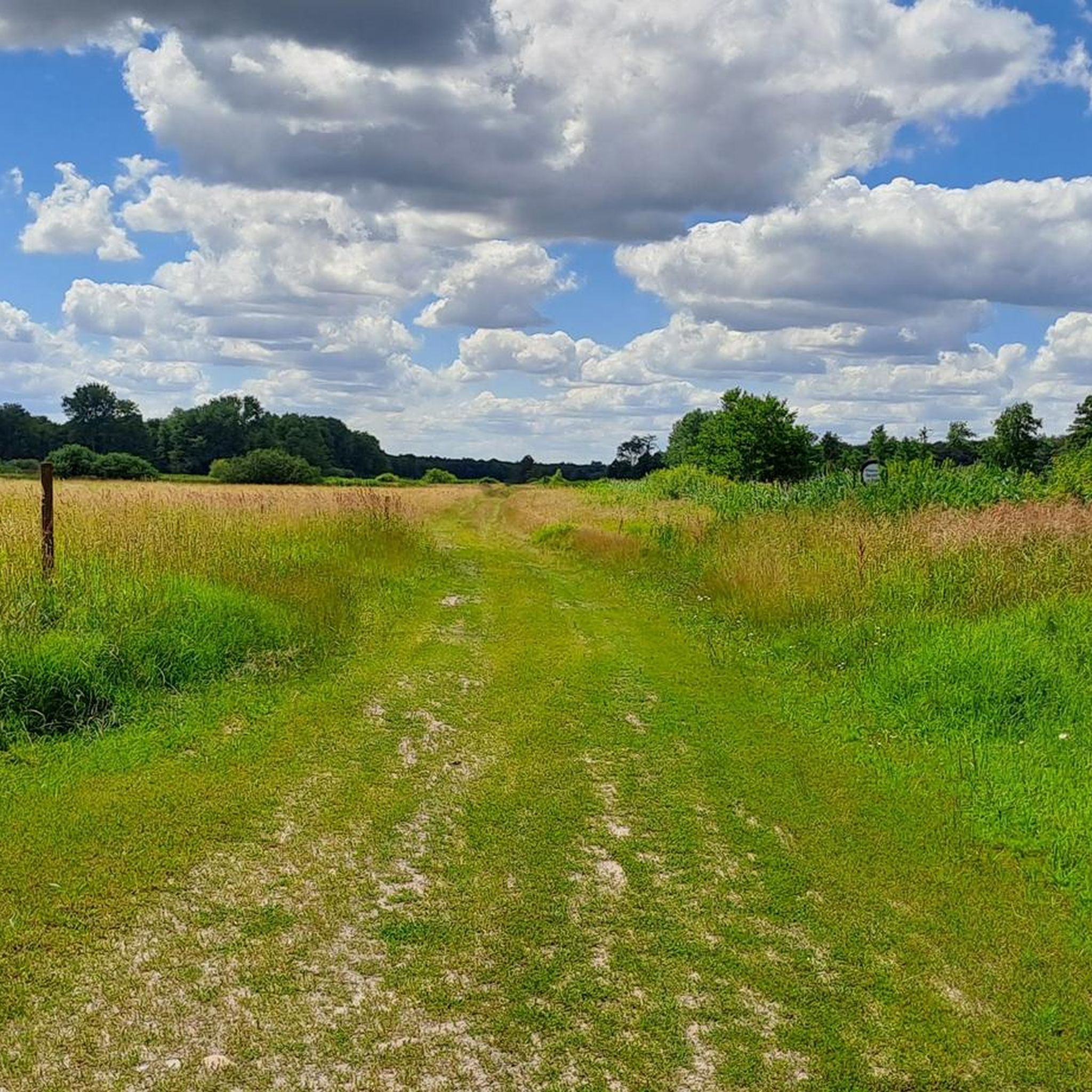
In this part of the Wendland it is quite flat, in contrast to the northwestern part, where it is rather hilly and very wooded. Both have their charm
0
0

From here, too, the paths to the Luckau wood are accessible from 1.3. until 15.8. blocked
0
0

The Jeetze (also: Jeetzel) rises near the village of Altferchau near Klötze in Saxony-Anhalt and flows into the Elbe near Hitzacker after about 73 kilometers. It flows through Salzwedel, Wustrow, Lüchow in Wendland, and Dannenberg.
3
0
In the Altmark region, the river is still called the Jeetze; in Wendland, it adds the "l" and is henceforth called Jeetzel until its confluence with the Elbe. Whatever the reason, it is a magnificent landscape with vast open spaces.
3
0

From the bridge you have a beautiful view of the Jeetzel and the Wustrower Church.
1
0
Frequently Asked Questions
What kind of terrain can I expect when hiking in Blütlinger Holz?
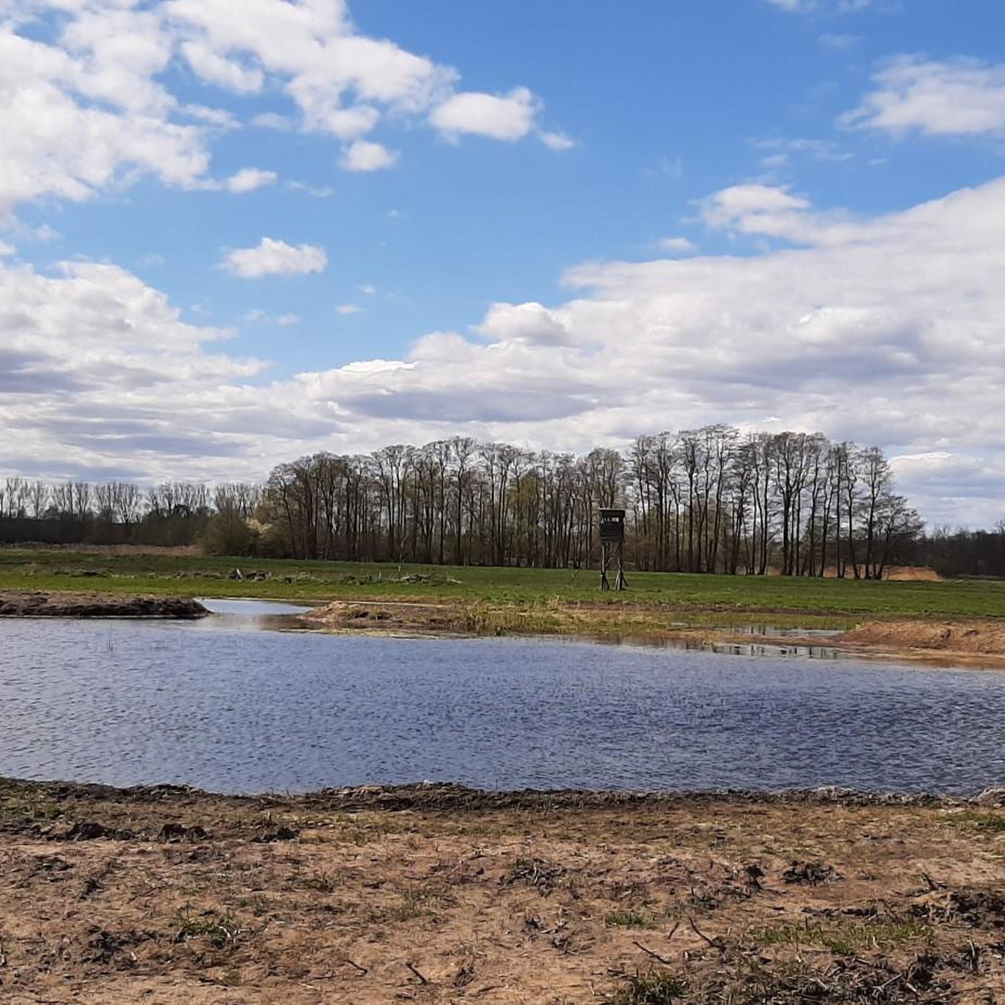
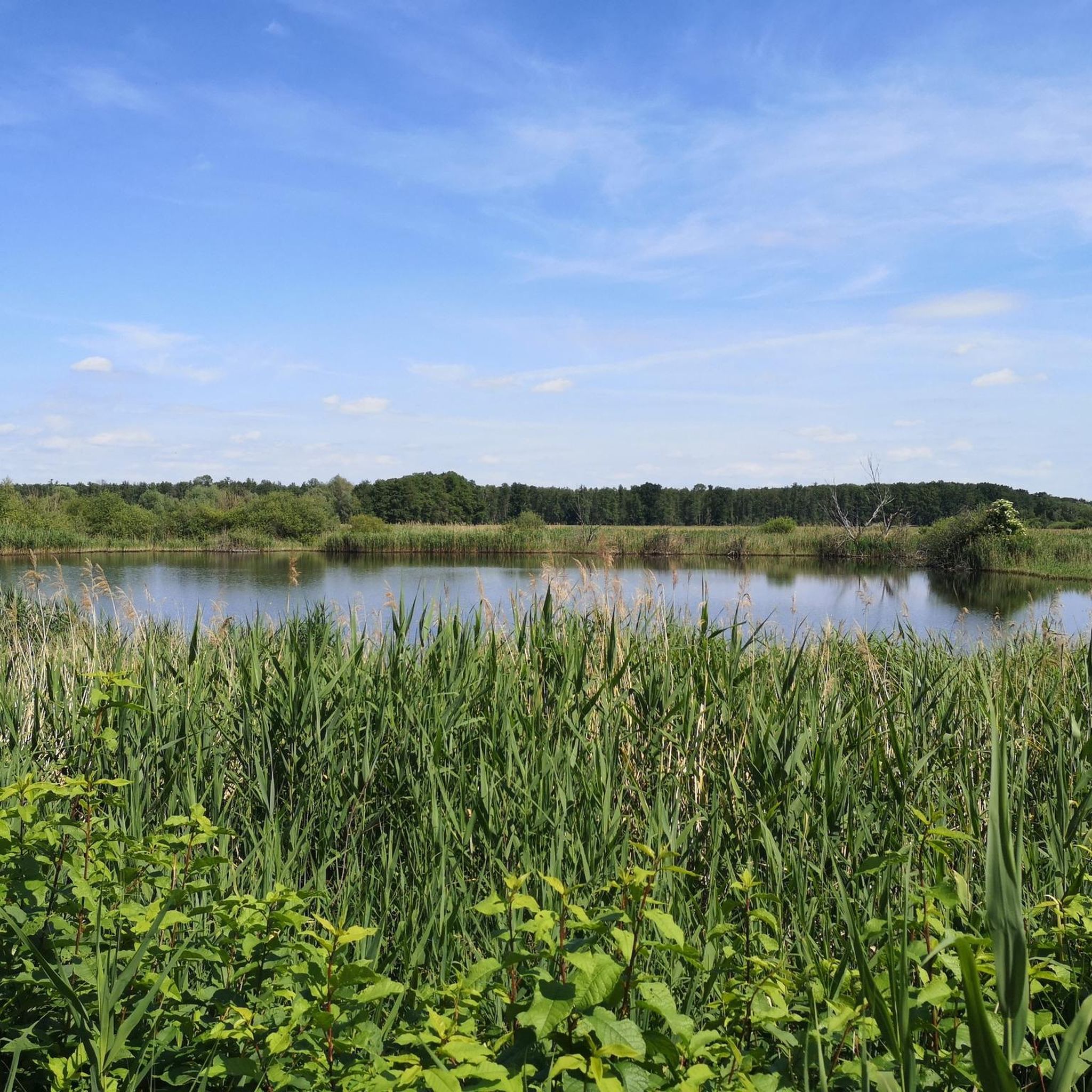
Blütlinger Holz is characterized by diverse terrain, primarily featuring extensive alder carr forests in high groundwater areas, interspersed with mixed oak and beech forests. You'll also encounter significant reed beds and large sedge areas, creating varied wetland ecosystems. The elevation changes are generally minimal, making most routes relatively flat and accessible.
How many hiking trails are available in Blütlinger Holz?
There are over 260 hiking routes available in Blütlinger Holz, offering a wide range of options for different preferences. The majority are easy, with 169 routes, while 90 are moderate, and a few are more challenging.
What natural features or landmarks can I see while hiking in Blütlinger Holz?
Blütlinger Holz is a nature reserve known for its rich biodiversity and unique ecosystems. You can observe diverse forest types, including alder carr forests and mixed deciduous woods, as well as extensive reed beds and sedge areas. The area is a vital habitat for numerous plant and animal species. A remnant of the former inner-German border also runs through the southern part of the reserve, adding a historical dimension.
Are there any family-friendly hiking options in Blütlinger Holz?
Yes, Blütlinger Holz offers many family-friendly options, with 169 easy routes. A good choice for families looking for a shorter, accessible path is the Wustrow Cemetery loop from Neu Blütlingen, which is 2.5 miles (4.1 km) long.
Can I bring my dog on the hiking trails in Blütlinger Holz?
Yes, Blütlinger Holz is generally dog-friendly. As a nature reserve, it's important to keep dogs on a leash to protect the local wildlife and ecosystems, especially in areas with ground-nesting birds or sensitive habitats. Always ensure your dog is under control and follow any local signage regarding pets.
What is the best time of year to go hiking in Blütlinger Holz?
The best time to visit Blütlinger Holz for hiking is typically during spring, summer, and early autumn. Spring offers vibrant greenery and blooming flora, while summer provides pleasant weather for exploring the diverse ecosystems. Autumn brings beautiful fall colors to the mixed deciduous forests. Due to the wetland nature of some areas, paths might be wetter during heavy rain or winter months.
Are there circular hiking routes available in Blütlinger Holz?
Yes, many of the routes in Blütlinger Holz are circular, allowing you to start and end at the same point. Examples include the Dumme Graben – Colorful Garden Gate loop from Blütlinger Holz and the View of the Jeetzel River loop from Lübbow.
What do other hikers enjoy most about Blütlinger Holz?
The komoot community highly rates Blütlinger Holz, with an average score of 4.5 stars from over 400 reviews. Hikers often praise the tranquil atmosphere, the diverse natural landscapes, and the opportunity to experience unique wetland ecosystems and varied forest types. The well-maintained paths and the sense of being immersed in nature are frequently highlighted.
What are the typical lengths and durations of hikes in Blütlinger Holz?
Hikes in Blütlinger Holz vary in length. Many popular routes range from 2.5 miles (4.1 km) to over 5 miles (8 km). For instance, the Wustrow Cemetery loop from Neu Blütlingen is about 2.5 miles (4.1 km) and takes around 1 hour 15 minutes, while the Dumme River – View of the Wustrower Dumme loop from Luckauer Holz is about 4.9 miles (7.9 km) and takes around 2 hours.
Is there parking available for hikers in Blütlinger Holz?
While specific parking areas are not detailed in the guide, as a nature reserve popular for hiking, there are typically designated parking spots or roadside parking available near common access points or trailheads. It's advisable to check local maps or komoot tour details for specific parking recommendations for your chosen route.
Can I reach Blütlinger Holz using public transport?
Access to Blütlinger Holz by public transport might be limited, as it is a nature reserve located in a more rural area. While some regional bus services may operate in the broader Wustrow (Wendland) area, direct connections to specific trailheads within the reserve might require planning. Checking local bus schedules for Wustrow or nearby villages would be recommended.
Are there any cafes or amenities near the hiking trails in Blütlinger Holz?
Blütlinger Holz is primarily a nature reserve focused on conservation, so amenities directly within the reserve are minimal. However, the nearby town of Wustrow (Wendland) offers cafes, restaurants, and other services where you can find refreshments or accommodation before or after your hike.
Most popular routes in Blütlinger Holz

Get inspired with the komoot mobile app


Explore more
Browse the best Hikes in other regions.
