The best MTB trails in Schnegaer Mühlenbachtal
3.6
(5)
20
riders
17
rides
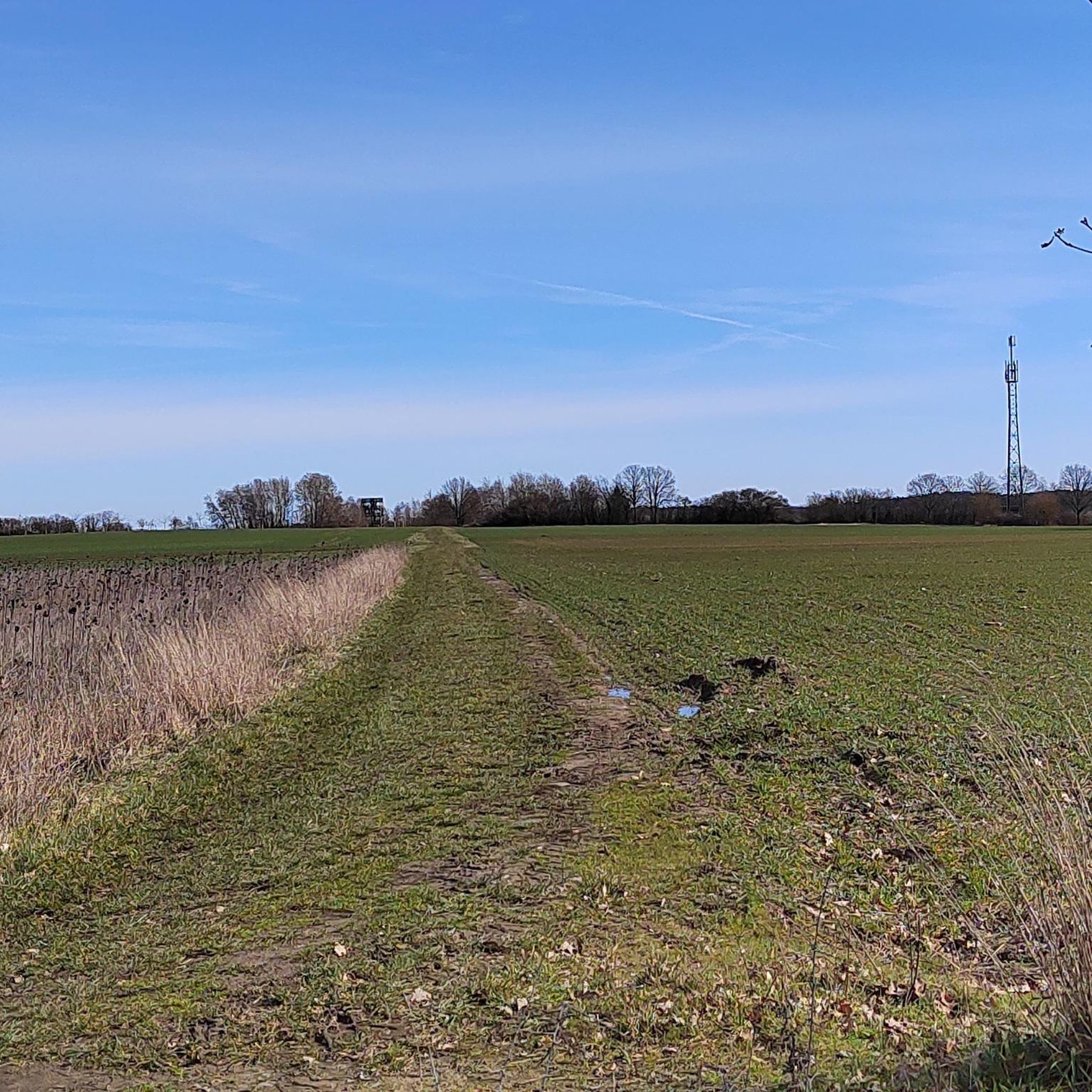
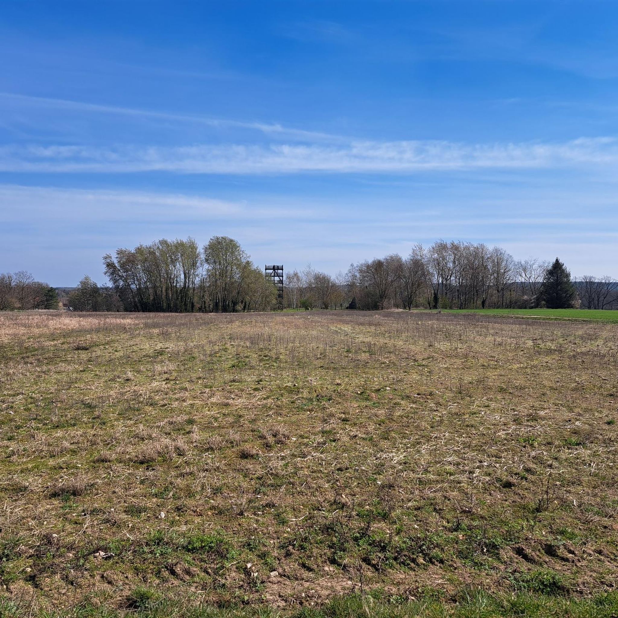
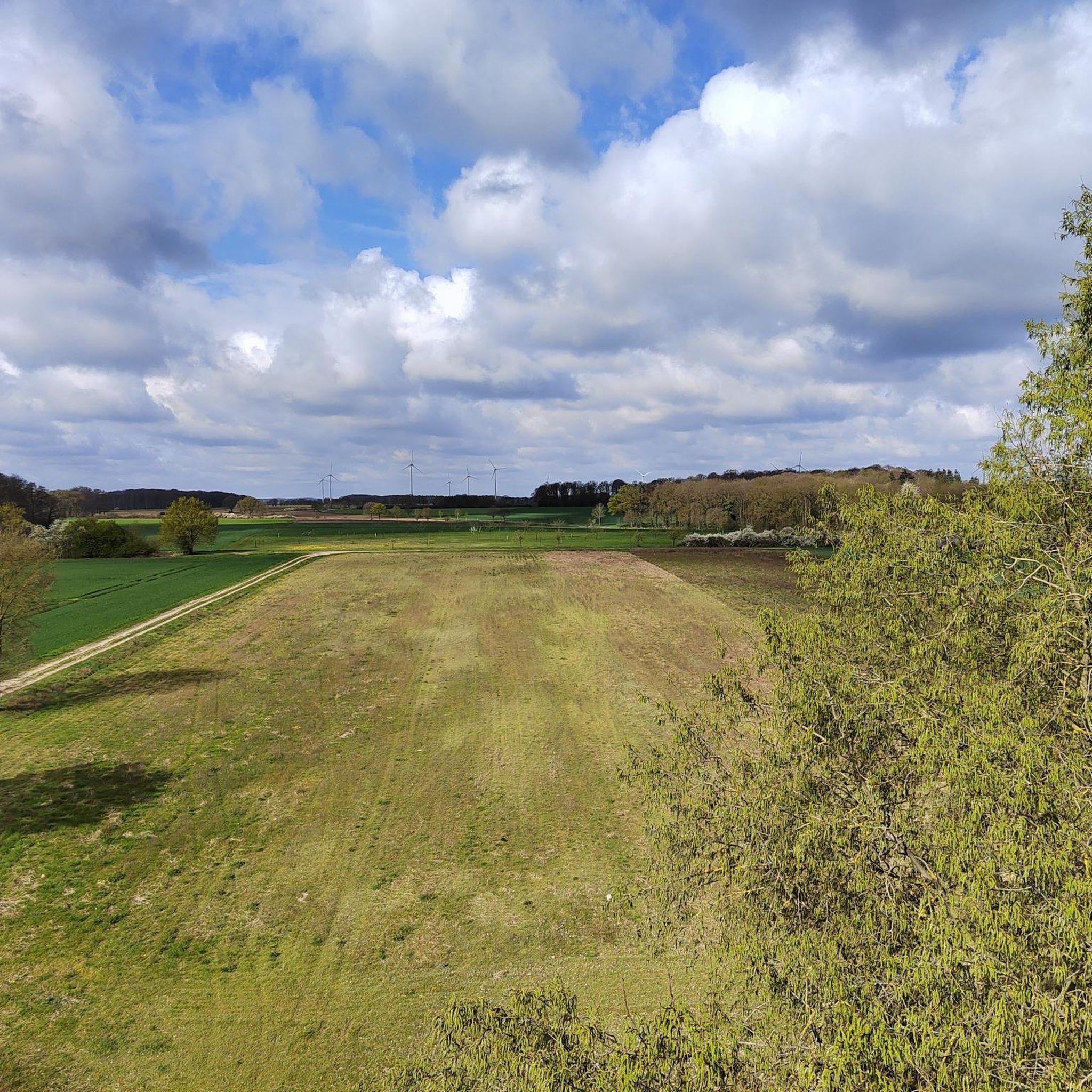
Mountain biking in Schnegaer Mühlenbachtal offers routes through an ice-age cultural landscape within the Naturpark Wendland.Elbe. The terrain features varying elevations from 8 to 142 meters above sea level, encompassing agricultural lands, forests, and wet grasslands. The Schnegaer Mühlenbach, a near-natural water body, flows through the valley, which is also home to natural deciduous and riparian forests. Due to its status as a nature reserve, mountain biking is generally restricted to marked paths and trails.
Best mountain bike trails in…
Last updated: October 1, 2026
4.0
(1)
3
riders
61.2km
03:38
170m
170m
Moderate mountain bike ride. Good fitness required. Advanced riding skills necessary.
2
riders
Moderate mountain bike ride. Great for any fitness level. Advanced riding skills necessary.

3.0
(1)
3
riders
Moderate mountain bike ride. Good fitness required. Advanced riding skills necessary.
5.0
(1)
2
riders
37.5km
02:43
290m
290m
Moderate mountain bike ride. Good fitness required. Advanced riding skills necessary.
5.0
(1)
1
riders
Moderate mountain bike ride. Good fitness required. Advanced riding skills necessary.
Get access to more routes and recommendations from other explorers.
Already have an account?
Our route recommendations are based on thousands of hikes, rides, and runs completed by other people on komoot.
Start today with a free account
Your next adventure awaits.
Tips from the Community

The castle tower in the Salzwedel castle garden is the oldest preserved building in the city. It is considered the historical heart and architectural landmark of the Hanseatic city. The round brick tower was built at the end of the 12th century (probably around 1160). It served as the central defensive tower (keep) of a once powerful, ring-shaped lowland castle. This castle complex had an overall diameter of about 220 meters and protected the important trade route (Salzstraße) at the crossing of the river Jeetze. The tower today has a striking height of around 24 meters. Originally, it was even higher and culminated in a steep roof spire. To withstand possible sieges, the foundation was built extremely solidly. The wall thickness at the base of the tower is an impressive 3.60 meters. Typical for medieval defensive towers, the original entrance is not at ground level, but is a so-called high entrance at a height of about 12 meters. Inside, in the lower, windowless area, lies the former dungeon. The tower is freely accessible in the park-like castle garden and is surrounded by old trees and the remains of the historic castle wall. While the garden area can be visited free of charge daily from 7:00 AM to 8:00 PM, the interior of the tower is usually only open for special city events or as part of guided tours booked through the Salzwedel Tourist Information.
2
0
The Burggarten in Salzwedel is a quiet city park in the center, located on the grounds of the historic Salzwedel Castle. • Address: Burgstraße 42, 29410 Salzwedel • Opening hours: Daily from morning until evening (approx. 7:00 AM to 8:00 PM) • Admission: The park is freely accessible. • Atmosphere: Very quiet, green, and characterized by historical flair. Visitors appreciate the place for strolling and lingering. • The Keep (Castle Tower): The well-preserved defensive tower dates from the late 12th century. It is about 24 meters high with impressive wall thickness at the base. The high entrance is at a height of around 12 meters. • Memorial Hall (Hall of Honor): In 1923, a hall of honor was erected for the fallen of World War I. • Remains of St. Anne's Chapel: Remains of the old castle chapel's walls can still be seen on the grounds. • Remains of the defensive wall and castle moat: Evidence of the former ring-shaped lowland castle, which was likely built in the 9th century to protect a trade route on the Jeetze river. • Directly from the Burggarten, stairs lead down to the courtyard of the well-known Baumkuchen bakery Café Kruse, where the famous Salzwedel Baumkuchen can be enjoyed. • In summer, the park occasionally serves as a venue for open-air festivals.
2
0

Café Kruse in Salzwedel is an ideal destination for a stopover on your bike. Since 1842, the famous original Salzwedel Baumkuchen has been baked layer by layer over an open flame in the traditional way. In the glass-fronted bakery, you can even watch the bakers at work before enjoying a piece of the specialty in the cozy café – whether classic fondant or covered in fine chocolate. After a bike ride through the Altmark region, this visit is a particularly sweet stopover that perfectly combines indulgence and regional culture.
2
0

Very nice walk in absolute peace.
0
0

My favorite is Café Kruse. Great selection of cakes and Baumkuchen in all variations! 🙂
8
0


Here Germany was divided for 45 years.
1
0
The photo point in Salzwedel, as seen in your picture, impressively frames one of the city's most striking historical ensembles: the mighty keep of the former city fortifications and the Gothic St. Mary's Church in the background. The red frame with the lettering "Hanseatic City of Salzwedel - The Altmark" draws the eye to this charming motif and makes it a popular spot for souvenir photos. Surrounded by manicured greenery and mature trees, the area around the photo point invites not only photography but also a place to linger. Salzwedel is a bicycle-friendly city with a high quality of life – perfect for a stop on a city tour through the Altmark region.
3
0
Frequently Asked Questions
How many mountain bike trails are available in Schnegaer Mühlenbachtal?
There are 18 mountain bike trails in Schnegaer Mühlenbachtal. These include 2 easy routes and 16 moderate routes, offering a range of options for different skill levels.
What is the typical terrain like for mountain biking in Schnegaer Mühlenbachtal?
The terrain in Schnegaer Mühlenbachtal is characterized by an ice-age cultural landscape within the Naturpark Wendland.Elbe. You'll encounter varying elevations from 8 to 142 meters above sea level, encompassing agricultural lands, forests, and wet grasslands. The routes primarily follow designated paths and forest roads, offering scenic rides through diverse natural settings.
Are there specific rules for mountain biking in the Schnegaer Mühlenbachtal nature reserve?
Yes, as Schnegaer Mühlenbachtal is a nature reserve, strict regulations apply to protect the environment. Mountain biking is generally restricted to marked paths and trails. Riding off-road or on undesignated singletracks is typically prohibited to preserve the delicate ecosystem.
What kind of landmarks or natural features can I see along the mountain bike trails?
The trails often pass by significant natural and historical features. You can explore the near-natural Schnegaer Mühlenbach, which is undergoing renaturation, and observe diverse flora and fauna. Notable landmarks include the Jiggel Watermill, the Schnega Watermill and Historical Washing Place, and the Jiggeler Watermill and Ford. There's also a picnic and barbecue area with a shelter and donkey enclosure, perfect for a break.
Are there any family-friendly mountain bike options in the area?
While all routes are classified as easy or moderate, the region is generally well-suited for recreational cycling on designated paths. For a family-friendly outing, consider routes that include amenities like the picnic and barbecue area with a playground, which is located on the route towards Bergen.
Can I bring my dog on the mountain bike trails?
While the region is generally welcoming to outdoor activities, specific regulations for dogs on mountain bike trails within the nature reserve may vary. It's always best to keep dogs on a leash to protect wildlife and ensure a pleasant experience for all users, especially given the area's rich biodiversity.
What do other mountain bikers say about the trails in Schnegaer Mühlenbachtal?
The mountain bike routes in Schnegaer Mühlenbachtal are highly rated by the komoot community, with an average score of 3.75 stars from 4 reviews. Mountain bikers often appreciate the diverse landscapes, the tranquil atmosphere, and the well-maintained paths that make for enjoyable rides.
Are there any loop mountain bike trails available?
Yes, many of the mountain bike trails in Schnegaer Mühlenbachtal are designed as loops. For example, you can explore the Günneitberg Viewpoint – Clenzer Schweiz Erratic Boulder Park loop from Clenze, which offers scenic views and passes through an erratic boulder park.
Where can I find parking for mountain biking in Schnegaer Mühlenbachtal?
While specific parking areas for mountain bikers are not detailed, you can typically find parking in the nearby towns and villages such as Schnega or Clenze, which serve as starting points for many routes. Always check local signage for parking regulations.
Is public transport available to reach the mountain bike trails?
Public transport options to directly access trailheads within the Schnegaer Mühlenbachtal nature reserve might be limited. It's advisable to check regional bus schedules for connections to towns like Schnega, Bergen an der Dumme, or Clenze, and plan your route from there.
Are there places to eat or stay near the mountain bike trails?
Yes, you can find cafes, pubs, and accommodation in the surrounding towns and villages. Bergen an der Dumme, Clenze, and Schnega offer various options for refreshments and overnight stays, allowing you to extend your visit to the region.
What is the best time of year to go mountain biking in Schnegaer Mühlenbachtal?
The region is suitable for cycling throughout much of the year. Spring and autumn offer pleasant temperatures and beautiful scenery, with vibrant foliage or blooming wildflowers. Summer is also good, but be mindful of warmer weather. Winter mountain biking is possible, but trails may be wet or muddy, and some services might be limited.
Most popular routes in Schnegaer Mühlenbachtal
Most popular attractions in Schnegaer Mühlenbachtal

Get inspired with the komoot mobile app


Explore more
Browse the best MTB trails in other regions.
