The best walks and hikes in Schnegaer Mühlenbachtal
4.5
(383)
1,322
hikers
17
hikes
Hiking in Schnegaer Mühlenbachtal offers diverse and largely untouched natural landscapes within the Naturpark Wendland.Elbe. The region is characterized by the Schnegaer Mühlenbach, a natural waterway flanked by deciduous forests, tall herb communities, and sedge meadows. Several small water bodies and historical mill weirs add to the ecological richness of this designated nature reserve.
Best hiking trails in Schnegaer Mühlenbachtal
- The most popular hiking route is Jiggel Watermill – NSG Upper Dumme Lowlands loop from Bergen an der Dumme,…
Last updated: October 1, 2026
4.8
(44)
130
hikers
Easy hike. Great for any fitness level. Easily-accessible paths. Suitable for all skill levels.
4.6
(5)
13
hikers
3.55km
00:55
20m
20m
Easy hike. Great for any fitness level. Easily-accessible paths. Suitable for all skill levels.

5.0
(4)
9
hikers
Easy hike. Great for any fitness level. Easily-accessible paths. Suitable for all skill levels.
5.0
(1)
6
hikers
Moderate hike. Good fitness required. Easily-accessible paths. Suitable for all skill levels.
5.0
(1)
9
hikers
Easy hike. Great for any fitness level. Easily-accessible paths. Suitable for all skill levels.
Get access to more routes and recommendations from other explorers.
Already have an account?
Our route recommendations are based on thousands of hikes, rides, and runs completed by other people on komoot.
Start today with a free account
Your next adventure awaits.
Tips from the Community

A wonderful seminar center in the Wendland region. They offer various accommodation options and delicious food, including vegan, vegetarian, and gluten-free choices. Surrounded by forest and fields.
0
0

Here in this legendary city of Heidelberg, the "Unnererdschen," as dwarves are called in Low German, are said to have had their homes. The "Unnererdschen Barg" has been a magical place shrouded in mystery since time immemorial.
0
0

In Gain, several paths are closed during the breeding and nesting season
1
0
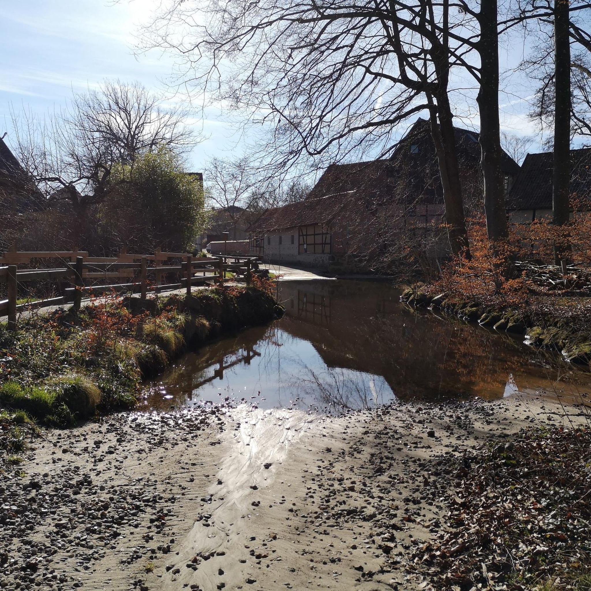
At the same time, there is also a rest area directly by the water with a view of the mill wheel
0
0
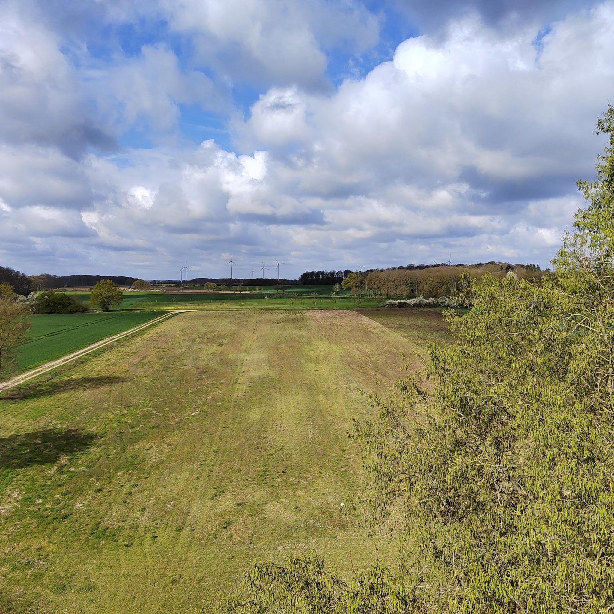
View of some ponds
0
0
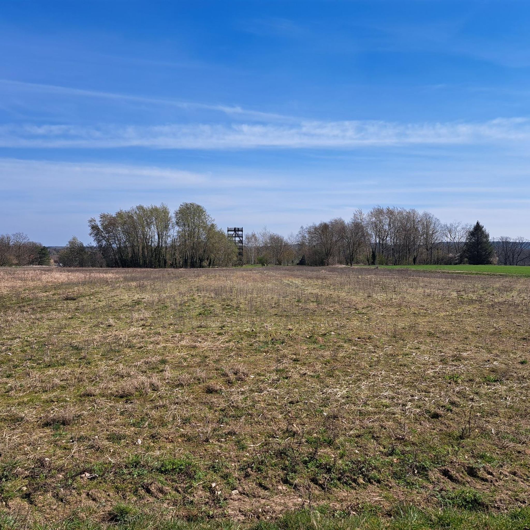
A beautiful meadow landscape in every season
0
0

The Schnega mill originally stood west of Schnega at the Dullborn spring near Gledeberg. It was first mentioned in 1360. In 1668 it appears in documents in Schnega, but is still referred to as the Gledeberg mill. After the Lords of Bodendieck, the Barons Grote came into possession of the Schnega estate and mill. In addition to the grain grinding, the mill also had a hammer mill for beating oil and was also used as a baking mill for baking flax. The mill was finally driven by a turbine. The mill often changed owners: Pletke in 1679, Wilke in 1708, Ude in 1721, Köthke in 1754, Schulz in 1776, Pletke in 1801 and Möller in 1823. This list is certainly not complete. This mill may have been a leased mill, which is suggested by its proximity to the estate. In 1901, the mill was bought by Heinrich Niefind, whose heirs sold it in 2005 to Mr. Ingo Timm from Berlin and Mr. Jürgen Zaak from Sommerland near Elmshorn. The new owners have extensively renovated the mill, repaired the turbine and partially got the grinding mechanisms working again. Interested visitors can see for themselves on the annual Mill Day (Whit Monday) and experience a piece of old mill romance with coffee and butter cake. Source: Information board at the site
2
0
Frequently Asked Questions
How many hiking trails are available in Schnegaer Mühlenbachtal?
The Schnegaer Mühlenbachtal offers a network of over 15 hiking trails. Most of these routes are classified as easy, making them accessible for a wide range of hikers.
What kind of terrain can I expect when hiking in Schnegaer Mühlenbachtal?
The terrain in Schnegaer Mühlenbachtal is characterized by its diverse and largely untouched natural landscape. You'll find paths winding through natural deciduous forests, alongside the Schnegaer Mühlenbach, and through tall herb communities and sedge meadows. The stream itself often features a gravelly-stony bed. Elevations are generally low, with most routes being easy to moderate.
Are there any historical sites or points of interest along the trails?
Yes, the region is dotted with interesting historical and natural features. You can visit the picturesque Jiggel Watermill, which includes a rest area and playground. Another notable site is the Schnega Watermill and Historical Washing Place. You'll also encounter several mill weirs along the Schnegaer Mühlenbach, showcasing a blend of natural processes and historical human interaction.
What natural features make Schnegaer Mühlenbachtal unique?
The Schnegaer Mühlenbachtal is defined by its namesake, the Schnegaer Mühlenbach, a largely undeveloped natural waterway. The area boasts varied vegetation, including natural deciduous forests and diverse meadows. Small water bodies are scattered throughout, and a former sandpit between Gledeberg and Schnega now supports distinctive sand dry grassland. It's also a biodiversity hotspot, home to otters, great crested newts, and various bird species.
What do other hikers say about the trails in Schnegaer Mühlenbachtal?
The trails in Schnegaer Mühlenbachtal are highly regarded by the komoot community, with an average rating of 4.6 stars from over 200 reviews. Hikers often praise the quiet natural beauty, the well-preserved Mühlenbach, and the peaceful atmosphere, making it an ideal destination for nature lovers.
Are there family-friendly hiking routes in the area?
Absolutely. Many routes in Schnegaer Mühlenbachtal are suitable for families. For instance, the Picnic Area at Mühlenteich – Oldendorf Watermill loop from Schnega is an easy 2.2-mile (3.5 km) path that offers views of a picnic area. The Jiggel Watermill also features a nearby rest area and playground, perfect for a family stop.
Can I hike with my dog in Schnegaer Mühlenbachtal?
The natural environment of Schnegaer Mühlenbachtal is generally welcoming for dogs. As it is a designated nature reserve, it's important to keep dogs on a leash to protect the local wildlife and vegetation. Always ensure you follow local regulations and clean up after your pet.
Are there circular walks available in Schnegaer Mühlenbachtal?
Yes, many of the trails in Schnegaer Mühlenbachtal are circular, allowing you to start and end at the same point. Examples include the popular Jiggel Watermill – NSG Upper Dumme Lowlands loop from Bergen an der Dumme, which is 4.7 miles (7.5 km), and the shorter Jiggel Watermill – The Gain Nature Reserve loop from Bergen an der Dumme, at 3.0 miles (4.9 km).
What is the best time of year to go hiking in Schnegaer Mühlenbachtal?
The Schnegaer Mühlenbachtal is beautiful year-round, but spring and autumn are particularly pleasant for hiking. In spring, the deciduous forests burst with new growth and wildflowers, while autumn offers vibrant foliage. Summer provides lush greenery, and even mild winter days can be enjoyable for a peaceful walk through the reserve.
Where can I park my car when visiting Schnegaer Mühlenbachtal?
While specific parking areas are not detailed for every route, visitors typically find parking options near the starting points of trails in towns like Schnega or Bergen an der Dumme. Look for designated parking signs or public parking facilities in these villages.
What are the rules and regulations for hiking in the Schnegaer Mühlenbachtal Nature Reserve?
As a designated nature reserve (NSG LÜ 283) and part of the FFH area "Landgraben und Dummeniederung," it's crucial to respect the environment. Stay on marked paths, do not disturb wildlife, refrain from picking plants, and take all your litter with you. Keeping dogs on a leash is also important to protect the diverse ecosystem.
Are there any places to eat or stay near the Schnegaer Mühlenbachtal?
The villages surrounding the Schnegaer Mühlenbachtal, such as Schnega and Bergen an der Dumme, offer amenities including cafes and pubs where you can refresh after your hike. For overnight stays, you can find various accommodation options in these nearby communities.
Most popular routes in Schnegaer Mühlenbachtal
Most popular attractions in Schnegaer Mühlenbachtal

Get inspired with the komoot mobile app


Explore more
Browse the best Hikes in other regions.
