The best walks and hikes in Grundloses Moor
4.5
(1749)
5,905
hikers
489
hikes
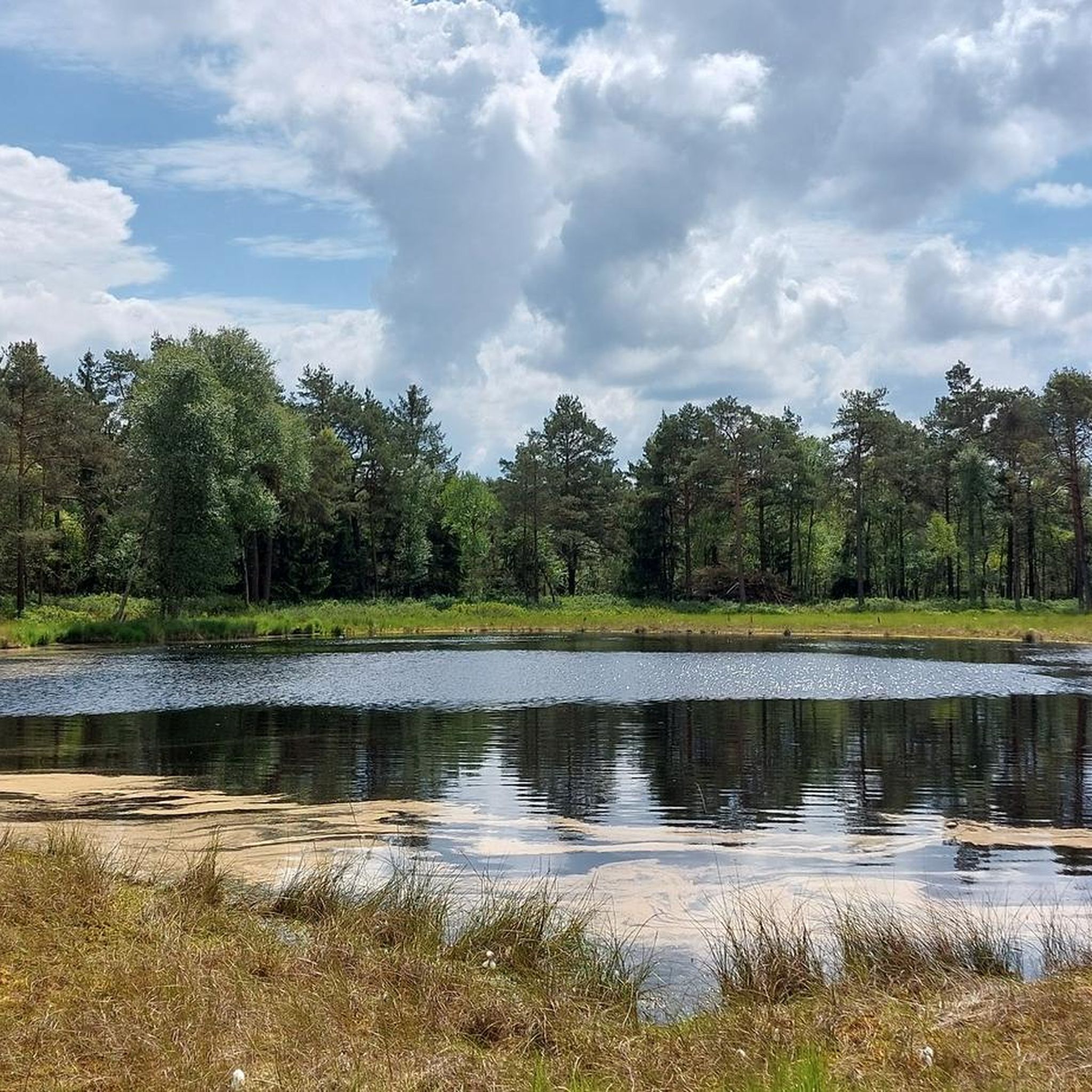
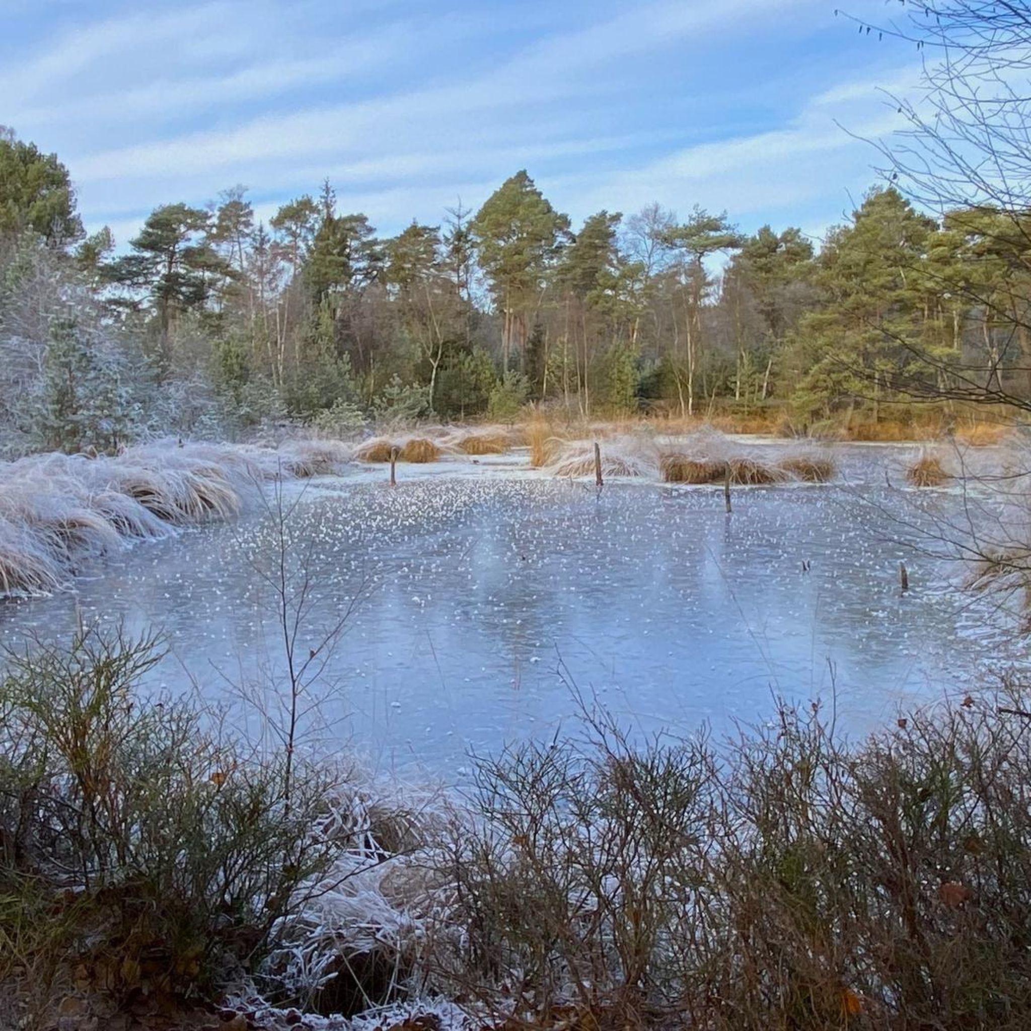
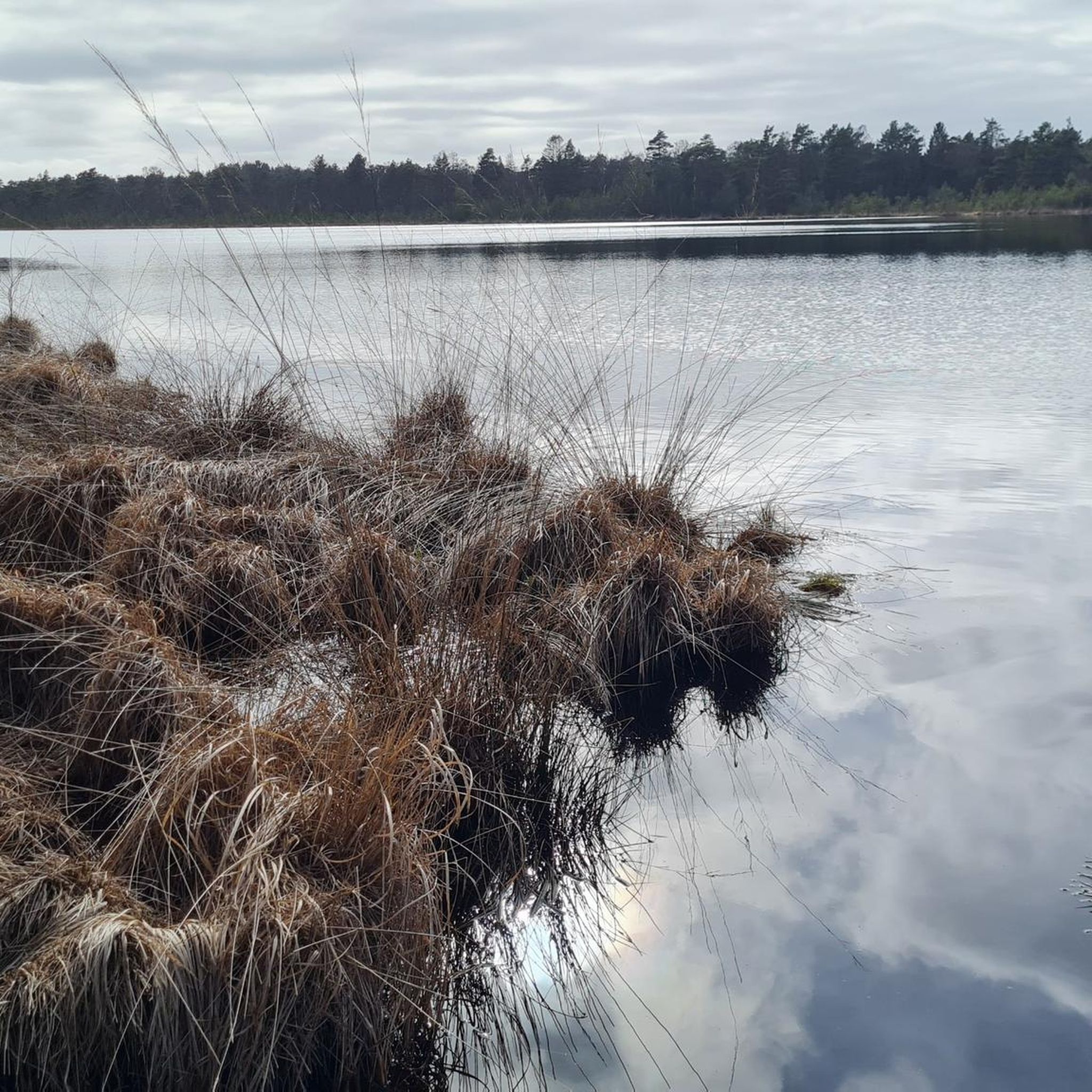
Hiking in Grundloses Moor offers trails through a unique raised bog ecosystem in Lower Saxony, Germany. The region is characterized by its distinct bog landscape, including the central Grundloser See, surrounded by diverse habitats such as forests, reedbeds, and wetlands. This nature reserve provides varied terrain for hikers, featuring specific flora like cottongrass and peat moss.
Best hiking trails in Grundloses Moor
- The most popular hiking route is View of the Grundloser See – View of Grundloser See loop from…
Last updated: October 2, 2026
4.0
(9)
26
hikers
Moderate hike. Good fitness required. Easily-accessible paths. Suitable for all skill levels.
4.8
(167)
579
hikers
Easy hike. Great for any fitness level. Easily-accessible paths. Suitable for all skill levels.

3.8
(5)
12
hikers
Moderate hike. Good fitness required. Easily-accessible paths. Suitable for all skill levels.
3.7
(3)
20
hikers
Easy hike. Great for any fitness level. Easily-accessible paths. Suitable for all skill levels.
5.0
(2)
5
hikers
Moderate hike. Good fitness required. Easily-accessible paths. Suitable for all skill levels.
Get access to more routes and recommendations from other explorers.
Already have an account?
Our route recommendations are based on thousands of hikes, rides, and runs completed by other people on komoot.
Start today with a free account
Your next adventure awaits.

Tips from the Community

Here the Freudenthalweg also leads along. All information about the Freudenthalweg can be found at the following link: https://www.lueneburger-heide.de/natur/touren/4666/freudenthalweg-wanderweg-lueneburger-heide.html (Status: 08.06.2026).
0
0
The Freudenthalweg also leads along here. All information about the Freudenthalweg can be found at the following link: https://www.lueneburger-heide.de/natur/touren/4666/freudenthalweg-wanderweg-lueneburger-heide.html (Status: 08.06.2026).
0
0

By now they are probably all distributed in the area as signposts to the Bottomless Lake
0
0
Meanwhile, the trash can is no longer there - but interesting information about the Bottomless Lake
0
0
The club has a beautiful and well-maintained facility
0
0
There are several benches in the complex, this one has perhaps the most beautiful spot
0
0
A beautiful and well-maintained pond complex with comfortable lawn paths
0
0
An entertaining circular route for children
0
0
Frequently Asked Questions
What kind of landscape can I expect when hiking in Grundloses Moor?
Grundloses Moor is primarily a unique raised bog ecosystem, the largest virtually intact one in the region. You'll encounter distinct bog flora like cottongrass, cranberries, and peat moss, especially picturesque in May and June when the cotton grass blooms. The area also features forests, reedbeds, and wetlands, offering a varied hiking experience.
Are there any viewpoints or notable natural features in Grundloses Moor?
Yes, the central feature is the Grundloser See, a 2.5-meter deep bog lake. An observation tower provides panoramic views of the lake and surrounding moorland, ideal for birdwatching. You can also find rare plants like the carnivorous round-leaved sundew.
What are the typical lengths and difficulties of hikes in Grundloses Moor?
Hikes in Grundloses Moor range from easy to moderate, with a few more challenging options. Many paths are easily accessible. For example, the View of the Grundloser See – Grundloser Lake loop from Ebbingen is an easy 2.5 km route, while the Grundloser See Trailhead – Grundloses Moor Nature Reserve loop from Ebbingen is a moderate 15.5 km trail.
Are there circular hiking routes available?
Yes, Grundloses Moor is well-known for its circular hiking trails. A popular and accessible option is the approximately 2.5 km circular trail around the Grundloser See. Another highly-rated circular route is the View of the Grundloser See – View of Grundloser See loop from Grundloses Moor, which is 5.8 km long.
When is the best time of year to visit Grundloses Moor for hiking?
The spring and early summer months, particularly May and June, are highly recommended. During this time, the blooming cotton grass around the Grundloser See creates a particularly picturesque landscape. The diverse flora and fauna are also very active during these seasons.
Is Grundloses Moor suitable for family hikes?
Yes, Grundloses Moor offers several family-friendly options. Many trails are easy and accessible. The 'Moorrundweg' even features riddle boards about the local ecosystem, making it an engaging and educational experience for children.
Can I bring my dog on the hiking trails in Grundloses Moor?
The nature reserve is generally welcoming to dogs, but they must be kept on a leash to protect the sensitive bog ecosystem and its wildlife. Always ensure you follow local signage and regulations regarding pets.
What kind of wildlife can I expect to see in Grundloses Moor?
The nature reserve is home to a rich variety of animal life. You might spot moor frogs and numerous bird species such as Eurasian Teal, Eurasian Moorhen, Great Crested Grebe, Greylag Goose, Canada Goose, Eurasian Hobby, Common Raven, and Great Spotted Woodpecker, especially from the observation tower.
Where can I park when visiting Grundloses Moor?
There are designated parking areas available for hikers. A common starting point is the Grundloser See Trailhead, which provides convenient access to several routes.
What do other hikers enjoy most about hiking in Grundloses Moor?
The area is highly rated by the komoot community, with an average score of 4.5 stars from over 1500 reviews. Reviewers often praise the unique tranquility, the immersion in a largely untouched natural environment, and the well-maintained trails that offer diverse views of the bog landscape and its distinct flora.
Are there educational opportunities along the trails?
Yes, information boards are placed along the trails to provide insights into the unique flora and fauna of the moor. The 'Moorrundweg' specifically includes riddle boards, making the hike an educational journey for all ages.
Most popular routes in Grundloses Moor
Most popular attractions in Grundloses Moor

Get inspired with the komoot mobile app


Explore more
Browse the best Hikes in other regions.
