The best MTB trails in Kladdinger Wiesen
4.6
(463)
1,827
riders
229
rides
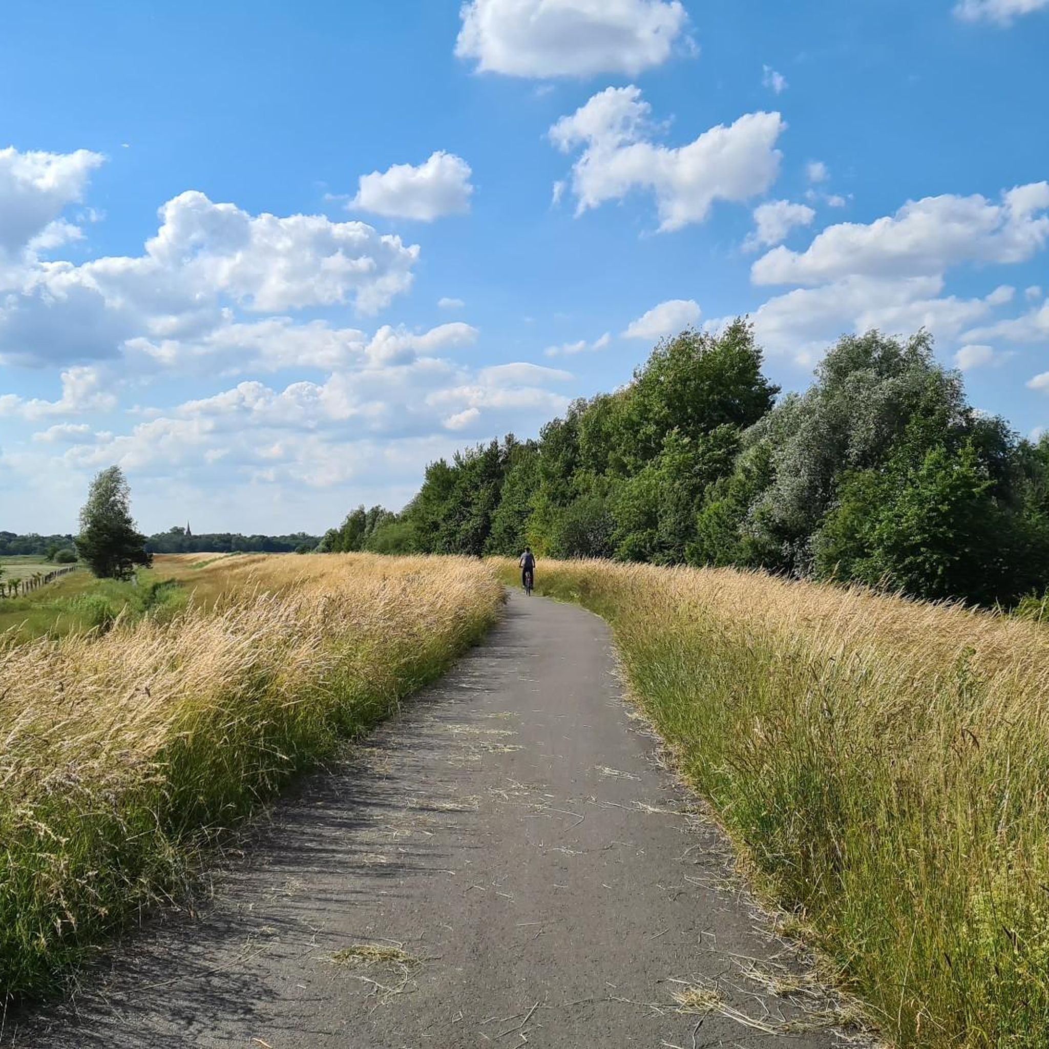
Mountain bike trails in Kladdinger Wiesen are situated within a nature reserve characterized by extensive grassland on marshland, bordering Bremen. The area features a low elevation, typically ranging from 1 to 3 meters above sea level, defining its marshy character. Mountain biking activities are generally confined to existing routes, offering a way to experience the tranquil grassland and riverine landscapes. The terrain is primarily flat, with some routes following partially swampy riverbanks along the Ochtum and Stuhrgraben.
Best mountain bike…
Last updated: June 28, 2026
5.0
(5)
5
riders
42.0km
02:22
140m
140m
Moderate mountain bike ride. Good fitness required. Advanced riding skills necessary.
4.8
(8)
12
riders
27.1km
01:26
30m
30m
Easy mountain bike ride. Great for any fitness level. Suitable for all skill levels.

Sign up for free
3
riders
27.6km
01:42
70m
70m
Easy mountain bike ride. Great for any fitness level. Suitable for all skill levels.
4
riders
Moderate mountain bike ride. Good fitness required. Advanced riding skills necessary.
5
riders
21.6km
01:06
30m
30m
Easy mountain bike ride. Great for any fitness level. Suitable for all skill levels.
Get access to more routes and recommendations from other explorers.
Sign up for free
Already have an account?
Our route recommendations are based on thousands of hikes, rides, and runs completed by other people on komoot.
Start today with a free account
Your next adventure awaits.
Login or Signup
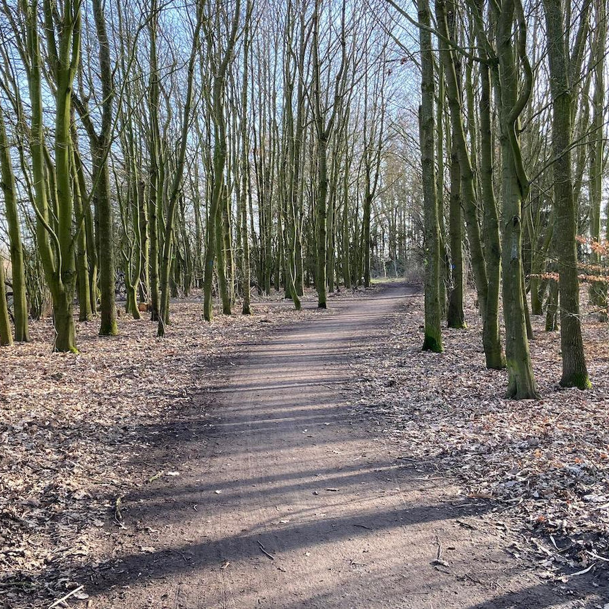
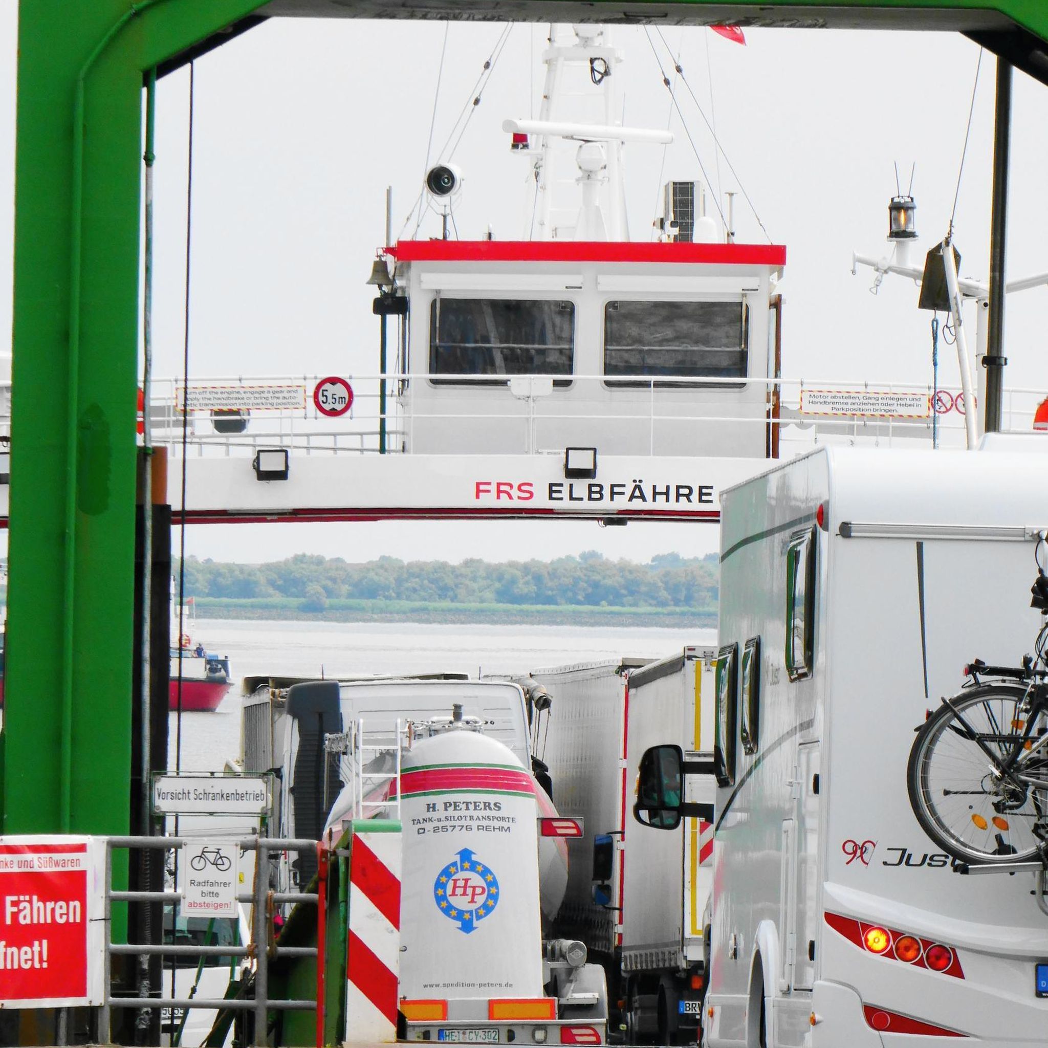
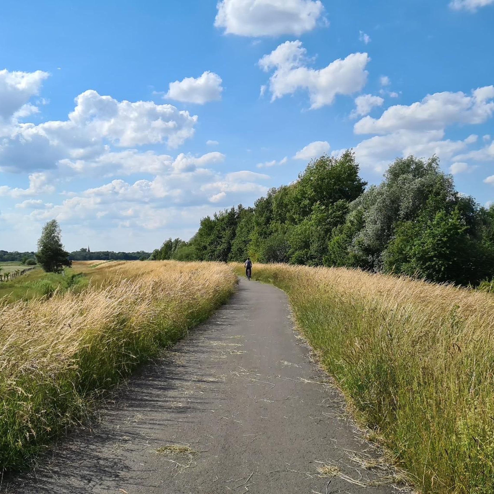
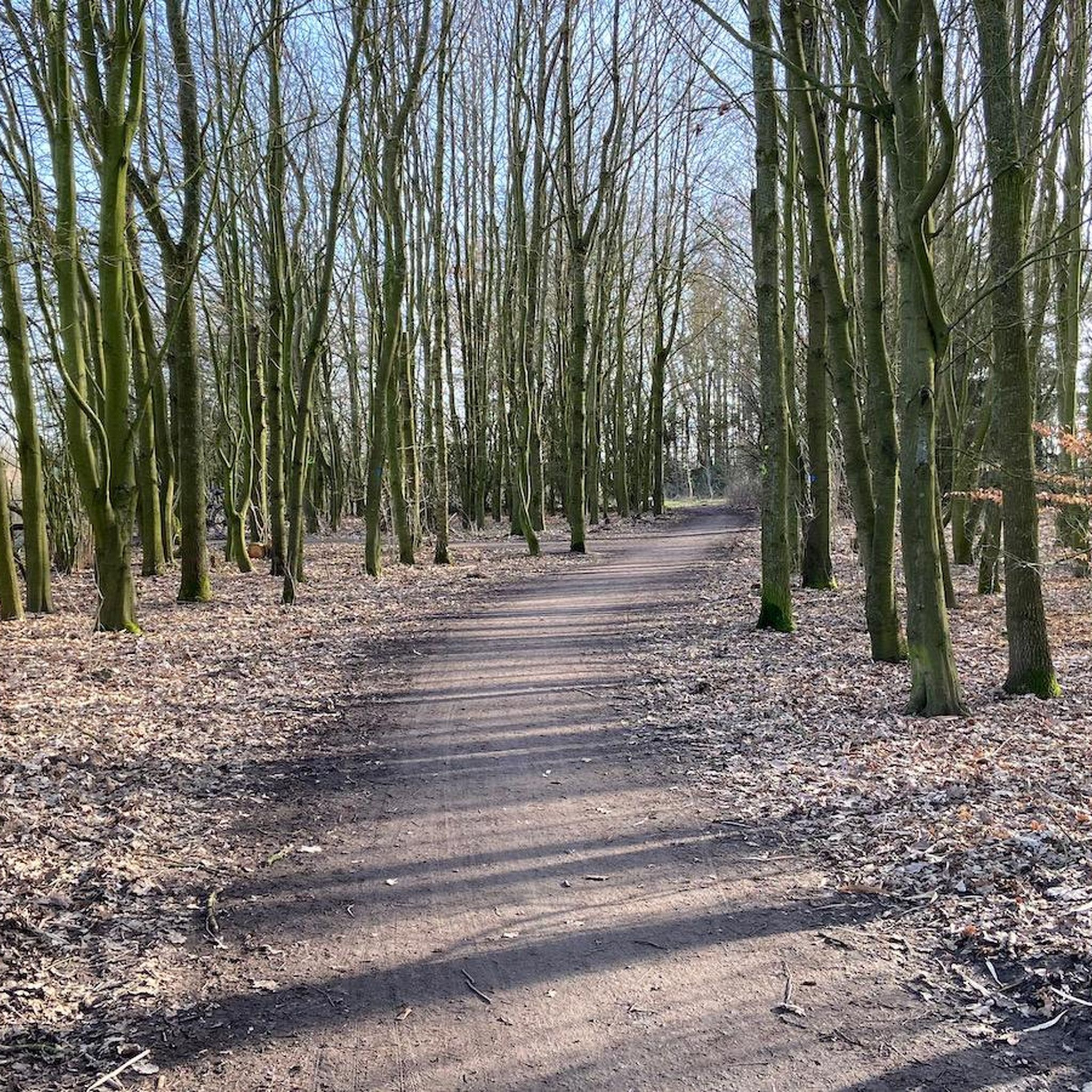
Tips from the Community

Der Hohe Berg is a striking elevation (an „ambitious earth mound“) on the Via Baltica in the area of the Barrien – Harpstedt stage. Shortly after starting in Barrien, the path leads over the Der Hohe Berg (58.5m), where a wind farm is located and from this height, the pilgrim sees Bremen to the north. The section is part of the Westphalian stages, where pilgrims often walk on hard tarred roads, which is a strain on the joints.
0
0

Here, all kinds of caution are required due to oncoming traffic...!
0
0

The "Hohe Berg" (High Mountain) was certainly named with a wink. But since it is the highest elevation far and wide, and also has the observation tower, you have a fantastic panoramic view - in good weather, all the way to Bremen!
0
0


A little information from the internet: Lufthansa Flight 005 on January 28, 1966, was a scheduled Lufthansa flight from Frankfurt to Hamburg with a stopover in Bremen. During a go-around maneuver, the twin-engine propeller plane crashed from a low altitude onto a field belonging to the municipality of Stuhr shortly before 7 p.m., just off the runway at Bremen Airport.[1] All 42 passengers and four crew members were killed in the crash.
1
0

Connecting path from Grolland to Neustadt, airport, city center
0
0

Relax by the water? You can do that here.
0
0

Dirt park near the 'Neuländer Wasserlöse' canal - on the edge of the tobacco district in Woltmershausen.
0
0
Frequently Asked Questions
How many mountain bike trails are available in Kladdinger Wiesen?
Kladdinger Wiesen offers a wide selection of mountain bike routes, with over 230 trails available. These include a good mix of easy, moderate, and a few more challenging options.
What is the typical terrain like for mountain biking in Kladdinger Wiesen?
The terrain in Kladdinger Wiesen is primarily flat, characterized by extensive grassland on marshland. You'll find routes following partially swampy riverbanks along the Ochtum and Stuhrgraben, offering a tranquil experience through open landscapes rather than rugged, technical trails.
What are the difficulty levels of mountain bike trails in Kladdinger Wiesen?
The trails in Kladdinger Wiesen cater to various skill levels. There are nearly 100 easy routes, over 130 moderate trails, and a small number of more difficult options for experienced riders. This variety ensures there's something for everyone.
Are there any circular mountain bike routes in Kladdinger Wiesen?
Yes, many of the mountain bike routes in Kladdinger Wiesen are designed as loops. For example, the Silbersee Recreation Area – The Watermill and Fish Ladder loop from Brinkum is a moderate 39.3 km circular route that takes about 2 hours 7 minutes to complete.
Is there parking available for mountain bikers in Kladdinger Wiesen?
While specific parking areas for mountain bikers are not explicitly designated, visitors typically find parking in and around the nearby town of Brinkum, which serves as a common starting point for many routes into Kladdinger Wiesen.
Can I reach the mountain bike trails in Kladdinger Wiesen by public transport?
Kladdinger Wiesen is located near Bremen, and public transport options to the surrounding areas, such as Stuhr or Brinkum, are available. From these points, you can often access the trailheads, though it's advisable to check local bus or tram schedules for the most convenient connections.
Are dogs allowed on the mountain bike trails in Kladdinger Wiesen?
Yes, dogs are generally allowed on the mountain bike trails. However, as Kladdinger Wiesen is a nature reserve, it is crucial to keep dogs on a leash at all times to protect the local wildlife, especially the diverse bird population.
Are the mountain bike trails in Kladdinger Wiesen suitable for families?
Many of the trails in Kladdinger Wiesen are suitable for families, particularly the numerous easy routes. The flat terrain and tranquil environment make it a pleasant area for family outings. A good option is the Bench by the Ochtum – Ochtum Bridge loop from Brinkum, an easy 21.6 km route.
What is the best time of year to go mountain biking in Kladdinger Wiesen?
The best time to go mountain biking in Kladdinger Wiesen is generally during the spring, summer, and early autumn months. The marshy character of the area means that trails can be wet and muddy during prolonged periods of rain or in winter, so drier conditions are preferable for an enjoyable ride.
What natural features can I expect to see while mountain biking in Kladdinger Wiesen?
You can expect to see extensive grasslands, partially swampy areas, and near-natural riverbanks along the Ochtum and Stuhrgraben. The low elevation and marshy character define the landscape, which also features tall herbaceous vegetation, reed beds, and woody plants.
What kind of wildlife might I encounter on the trails?
Kladdinger Wiesen is particularly significant as a habitat for breeding and migratory birds of open low-lying areas. Birdwatching is a popular activity here, so you might encounter various bird species, especially in the reed beds and along the riverbanks.
What do other mountain bikers say about the trails in Kladdinger Wiesen?
The mountain bike trails in Kladdinger Wiesen are highly rated by the komoot community, with an average score of 4.6 stars from over 440 reviews. Many riders appreciate the tranquil grassland and riverine landscapes, making it a popular destination with over 1,800 visitors using komoot to explore the area.
Are there any easy mountain bike routes for beginners?
Absolutely. Kladdinger Wiesen offers nearly 100 easy mountain bike routes, perfect for beginners or those looking for a relaxed ride. An example is the Ochtum Bridge – Kleine Ochtum Bridge loop from Brinkum, an easy 27.1 km path that follows the Ochtum riverbanks.
Most popular routes in Kladdinger Wiesen

Get inspired with the komoot mobile app


Explore more
Browse the best MTB trails in other regions.
