The best running trails in Schwarztonnensand
4.7
(74)
1,373
runners
109
runs
Jogging routes in Schwarztonnensand are primarily found in the surrounding Lower Elbe region, offering views of the highly protected Schwarztonnensand nature reserve. This area is characterized by flat terrain, often along river dikes, providing accessible running routes. The landscape features dense vegetation and open views across the Elbe River, making it suitable for various running activities. While the Schwarztonnensand island itself is a restricted nature reserve, the nearby trails offer opportunities to experience the unique environment of the Lower Elbe.
…Last updated: May 20, 2026
5
runners
4.80km
00:32
0m
0m
Easy run. Great for any fitness level. Mostly paved surfaces. Suitable for all skill levels.
8
runners
8.57km
00:55
10m
10m
Moderate run. Good fitness required. Mostly paved surfaces. Suitable for all skill levels.

Sign up for free
3
runners
8.39km
00:52
10m
10m
Moderate run. Good fitness required. Mostly paved surfaces. Suitable for all skill levels.
4.8
(9)
141
runners
Moderate run. Good fitness required. Mostly paved surfaces. Suitable for all skill levels.
5.0
(1)
40
runners
Moderate run. Good fitness required. Mostly paved surfaces. Suitable for all skill levels.
Get access to more routes and recommendations from other explorers.
Sign up for free
Already have an account?
Our route recommendations are based on thousands of hikes, rides, and runs completed by other people on komoot.
Start today with a free account
Your next adventure awaits.
Login or Signup
Popular around Schwarztonnensand
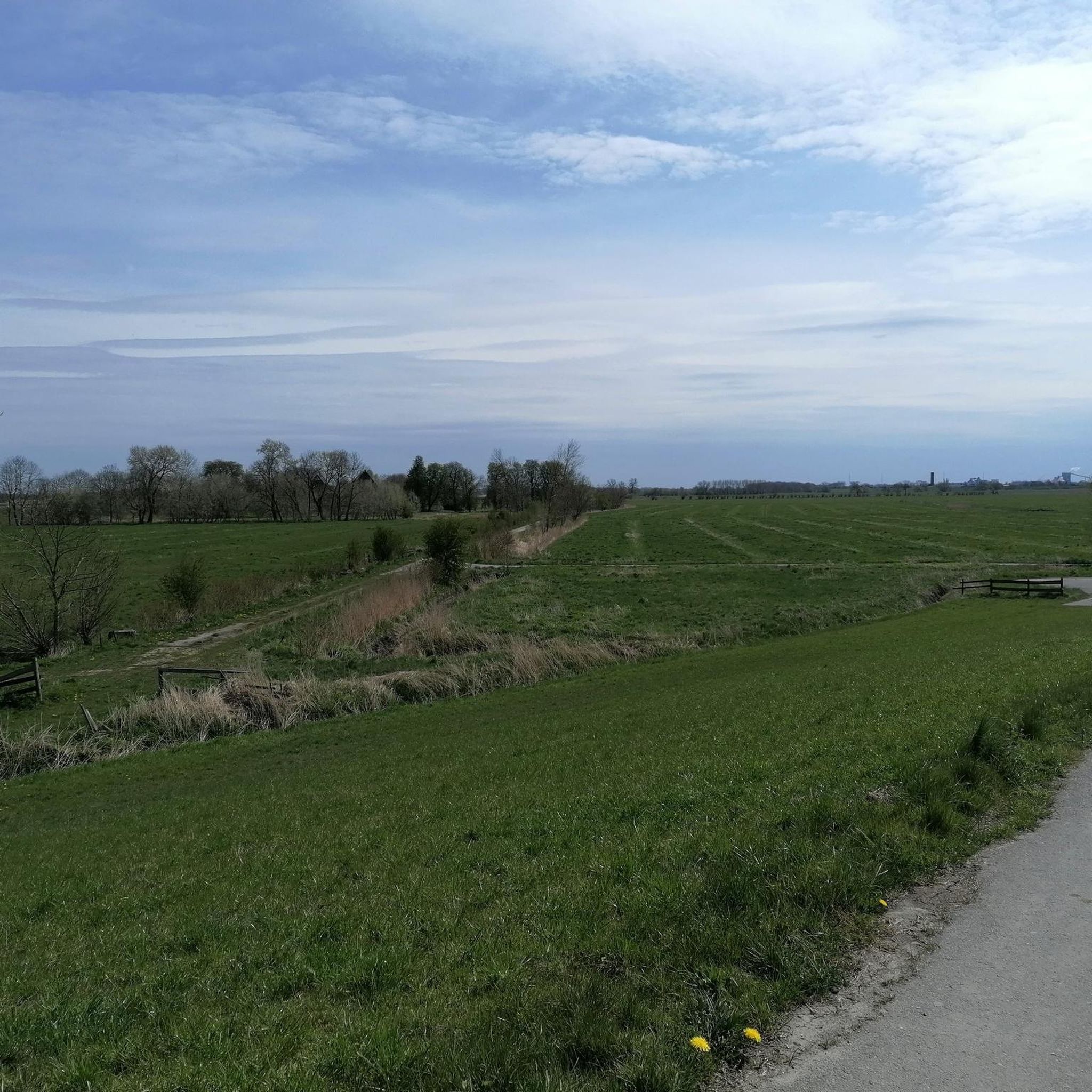

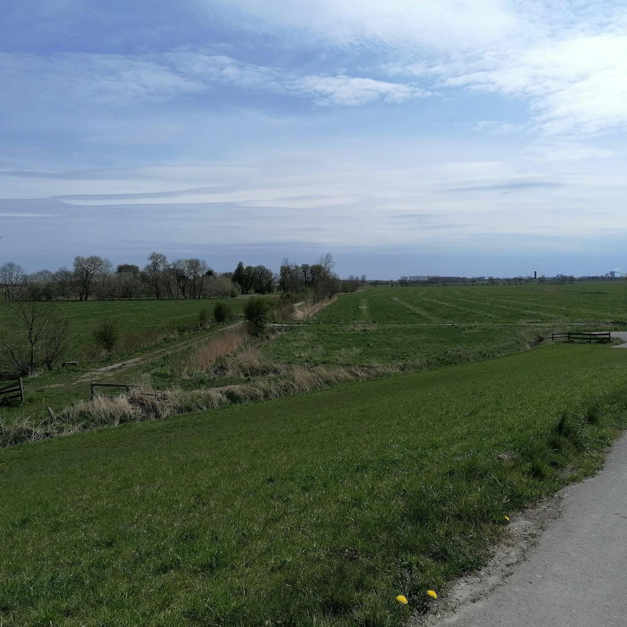
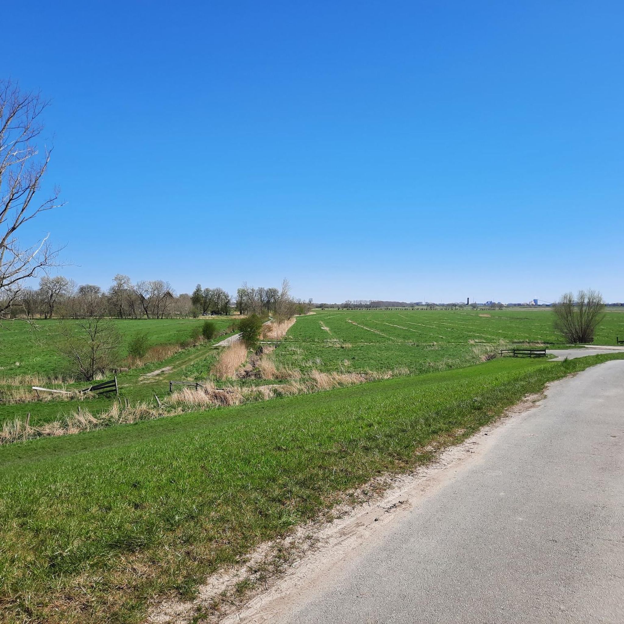
Tips from the Community

New seating areas have been beautifully installed, right by the water. The harbor is currently undergoing cleanup and renovation. A hike or bike ride is highly recommended and very interesting 👍🏼.
4
0
New seating areas have been beautifully installed, right by the water. A hike or bike ride is highly recommended and very interesting 👍🏼.
1
0
A small historic harbor in Assel; at the moment we have low tide, so no boats can go in or out.
4
0
A small harbor in Assel. At the moment it is low tide so it is not possible to go in or out.
4
0

A break is always planned here.
0
0

I passed by here ten months ago on my "Kollmar" tour. I had something to eat at the pier.
0
0
A great snack bar right on the bike path. Very friendly staff, and we got our coffee even though it wasn't open yet. Highly recommended. Nearby is a lovely children's playground and the Elbe River with a great stretch of beach.
2
0

Until now only seen from the land side.
0
0
Frequently Asked Questions
Can I jog directly on Schwarztonnensand island?
No, Schwarztonnensand island is a highly protected nature reserve with severely restricted public access. Jogging on the island itself is prohibited to protect its sensitive ecosystem and diverse wildlife. The running routes featured in this guide are located in the surrounding Lower Elbe region, offering views of the island from a distance.
Where can I find running routes that offer views of Schwarztonnensand?
The running routes that provide views of Schwarztonnensand are primarily found along the river dikes and coastal paths in the Lower Elbe region, particularly around areas like Assel and Kollmar. These trails allow you to experience the unique landscape while respecting the protected status of the island.
What kind of terrain can I expect on running routes near Schwarztonnensand?
The terrain in the Lower Elbe region is predominantly flat, often following well-maintained river dikes. You can expect a mix of paved and unpaved paths, offering a generally easy and accessible running experience. The landscape is characterized by open views across the Elbe River and dense vegetation.
Are there easy running routes suitable for beginners in the Lower Elbe region?
Yes, the area offers several easy running routes perfect for beginners. For example, the Running loop from Asselersand is an easy 3.0-mile (4.8 km) trail with flat paths, ideal for a quick and gentle run near the Elbe.
How many running routes are available in the area around Schwarztonnensand?
There are over 110 running routes available in the broader Schwarztonnensand region, as cataloged on komoot. This includes a variety of options, with about 13 easy routes, 80 moderate routes, and 20 more challenging trails, ensuring choices for different fitness levels.
Are the running trails near Schwarztonnensand suitable for families?
Many of the running routes along the Elbe dikes are suitable for families due to their flat terrain and scenic views. These paths are generally wide and offer a safe environment for a family run or walk, though specific routes should be checked for length and any potential hazards.
Can I bring my dog on the running routes in the Lower Elbe area?
Yes, dogs are generally welcome on the running routes in the Lower Elbe region. However, as these areas are close to a nature reserve and often feature wildlife, it is important to keep your dog on a leash and ensure they do not disturb local flora or fauna. Always clean up after your pet.
Are there circular running routes available near Schwarztonnensand?
Yes, many of the running paths in the Lower Elbe region are designed as circular routes, allowing you to start and end at the same point. Examples include the popular Assel Harbor loop from Assel and the Elbuferweg – Bielenberg Marina loop from Kollmar.
What are the parking options for accessing running trails near Schwarztonnensand?
Parking is typically available in the nearby villages and towns such as Assel, Drochtersen, and Kollmar, which serve as starting points for many of the Elbe dike trails. Look for designated parking areas near the dikes or local amenities.
How can I reach the running routes near Schwarztonnensand using public transport?
Public transport options to access the running routes near Schwarztonnensand usually involve regional bus services connecting to towns like Drochtersen, Assel, or Kollmar. From these points, you can often find direct access to the Elbe dikes and their running trails. It's advisable to check local bus schedules in advance.
What kind of wildlife might I see while running near Schwarztonnensand?
While running on the mainland trails, you might spot various bird species, especially water birds, as Schwarztonnensand is a vital resting and wintering area. Keep an eye out for geese, ducks, and possibly even sea eagles or buzzards. The area is also home to deer and various small rodents.
Are there any cafes or restaurants near the running routes in the Lower Elbe region?
Yes, you can find cafes and restaurants in the nearby towns and villages such as Drochtersen, Assel, and Kollmar. These establishments offer opportunities for refreshments and meals before or after your run, often with views of the Elbe.
What is the best time of year to go running near Schwarztonnensand?
The spring and autumn months are generally ideal for running in the Lower Elbe region, offering pleasant temperatures and beautiful scenery. Summer can also be enjoyable, especially in the mornings or evenings, while winter runs can be invigorating, though paths might be colder or occasionally icy.
Are there any viewpoints or landmarks along the running routes near Schwarztonnensand?
The primary 'landmark' is the view of Schwarztonnensand island itself, a unique natural feature. Additionally, the Elbe dikes offer expansive views of the river landscape, passing by small harbors like Assel Harbor, and occasionally lighthouses or historic dike houses, providing picturesque points of interest.
Most popular routes in Schwarztonnensand

Get inspired with the komoot mobile app


Explore more
Browse the best Running Trails & Routes in other regions.
