The best walks and hikes in Schwarztonnensand
4.5
(796)
3,932
hikers
232
hikes
Schwarztonnensand hiking trails explore a unique natural area within the Lower Elbe region, characterized by its protected inland island and surrounding mudflats. This landscape, originally formed from dredged Elbe sand, features dense vegetation, dry grasslands, and riparian forests. The area is part of the larger "Elbe and Islands" nature reserve, offering broad floodplains and a diverse ecosystem.
Best hiking trails in Schwarztonnensand
- The most popular hiking route is Climbing Tree by the Elbe – Parking lot at the Elbe beach…
Last updated: June 26, 2026
5.0
(3)
24
hikers
12.3km
03:06
10m
10m
Moderate hike. Good fitness required. Easily-accessible paths. Suitable for all skill levels.
4.9
(11)
43
hikers
6.06km
01:31
10m
10m
Easy hike. Great for any fitness level. Easily-accessible paths. Suitable for all skill levels.

Sign up for free
14
hikers
Easy hike. Great for any fitness level. Easily-accessible paths. Suitable for all skill levels.
11
hikers
4.15km
01:03
0m
0m
Easy hike. Great for any fitness level. Easily-accessible paths. Suitable for all skill levels.
10
hikers
3.47km
00:53
10m
10m
Easy hike. Great for any fitness level. Easily-accessible paths. Suitable for all skill levels.
Get access to more routes and recommendations from other explorers.
Sign up for free
Already have an account?
Our route recommendations are based on thousands of hikes, rides, and runs completed by other people on komoot.
Start today with a free account
Your next adventure awaits.
Login or Signup
Tips from the Community


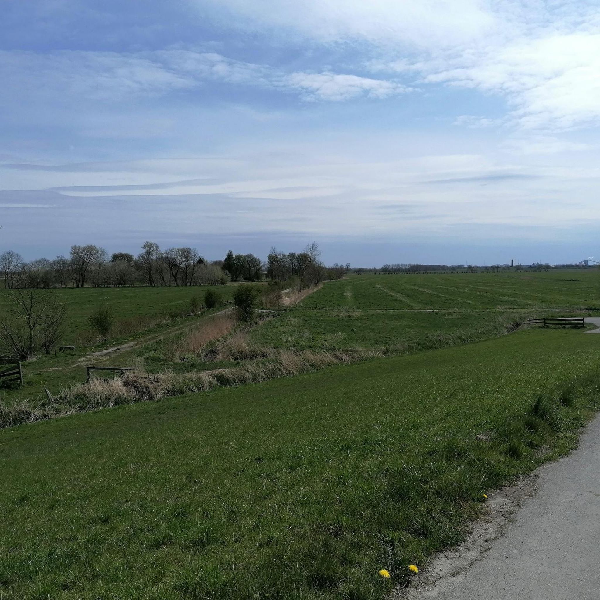
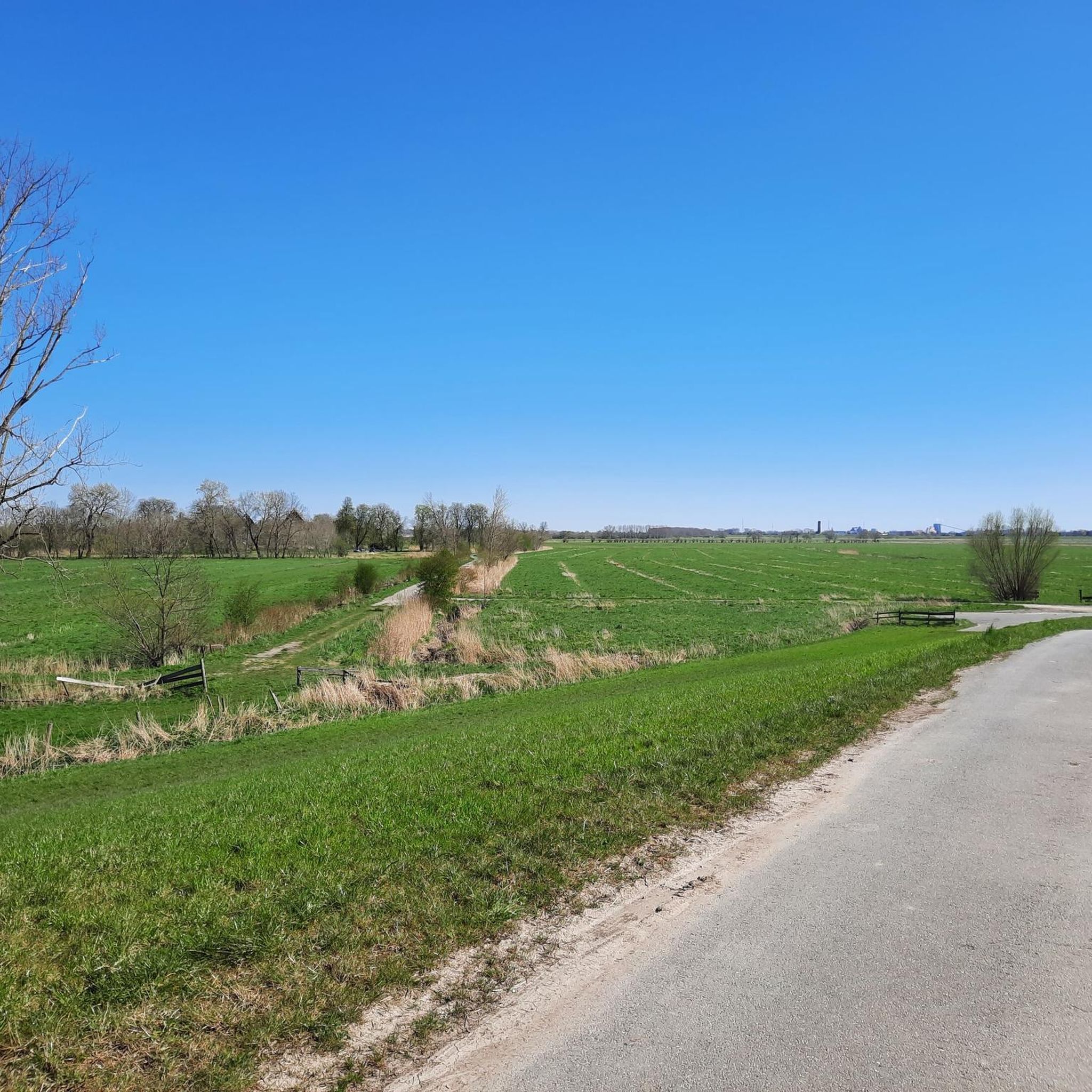
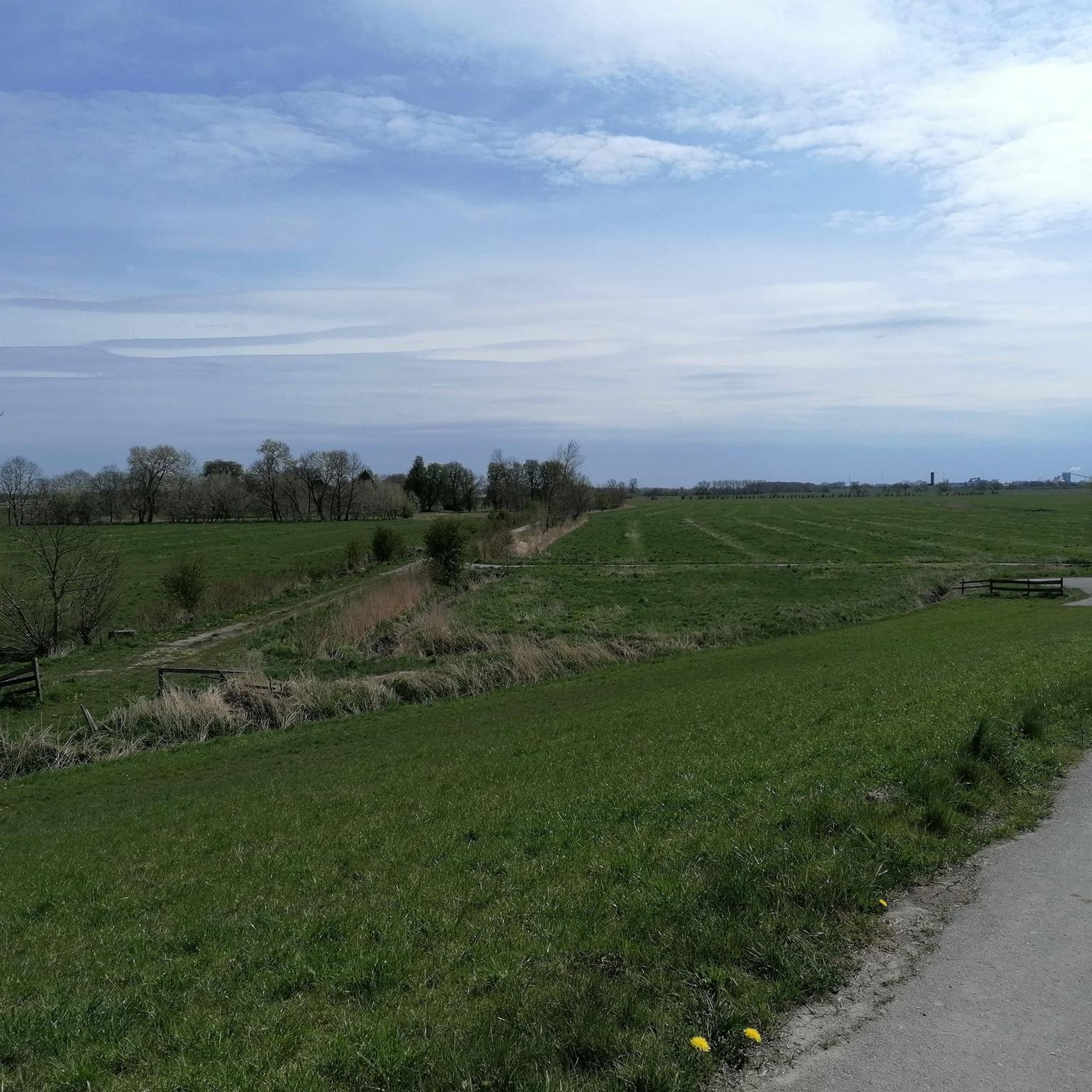
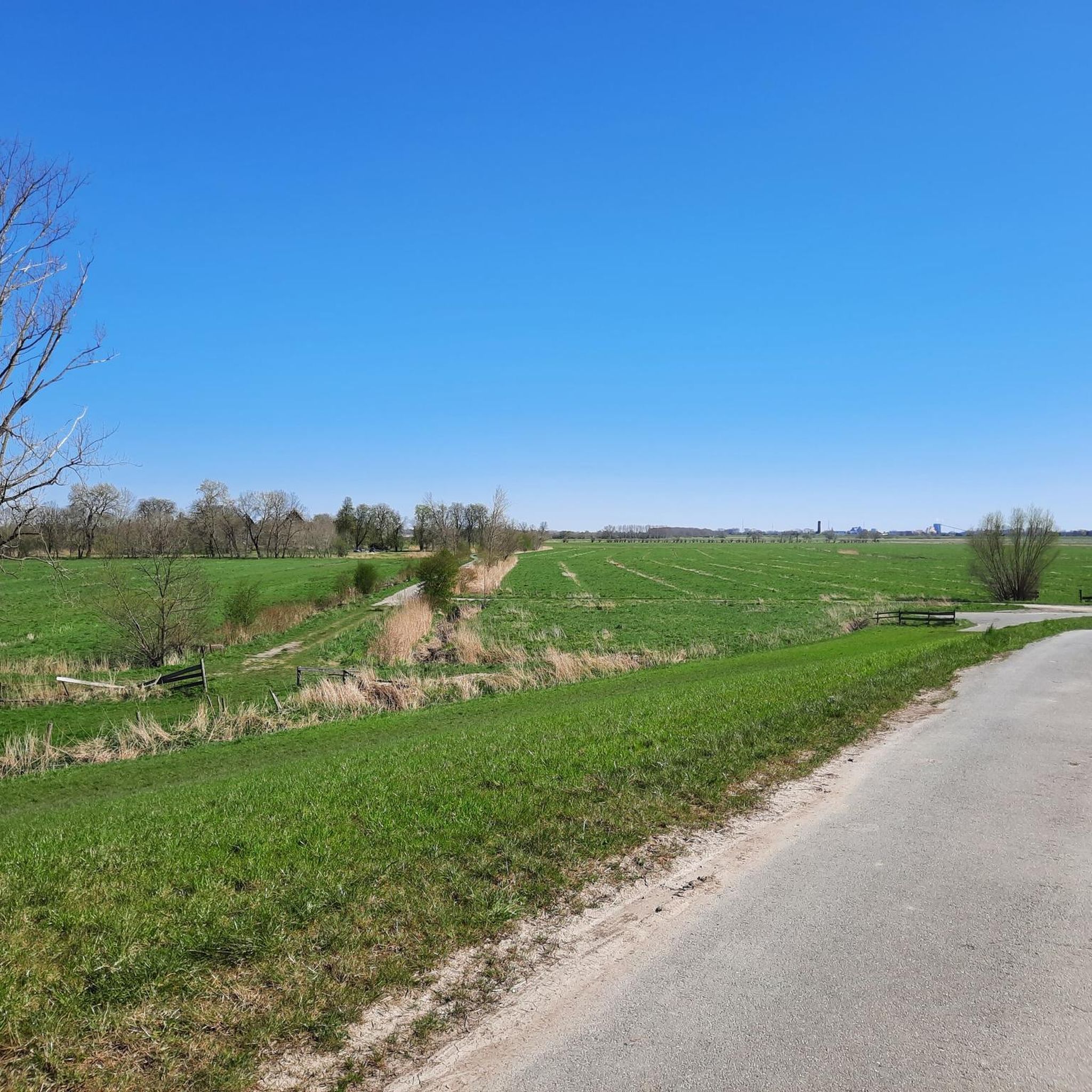
Free parking 😀, a great cycle path and hiking trail leads here through beautiful nature along the dike. In the immediate vicinity is Fort Grauer Ort. Events are regularly held there. A large motorhome parking space is available. In the summer months, there is a flea market on the first Sunday of every month. No registration is necessary for a parking space. Opposite on the right side, there is a great Elbe beach with a wide view of the Elbe. In spring, the sheep are also on the dike. A precise date cannot be given.
1
0
A great cycling and hiking trail leads along the Asseler dike amidst beautiful nature.
1
0

Asseler Hafen boat ramp – a ramp for launching and retrieving boats, exactly what you'd expect to find in a harbor. But of course: better to add another red dot in case anyone thought there was nothing typical of a harbor to see here.
0
0
A covered picnic table at Assel harbor – not exactly a harbor view highlight, just an ordinary table with a roof. Practical in the rain, spectacular only as another red dot. Still, it gets likes.
0
2
A cutter belonging to the Assel water sports club in the harbor of Assel – a boat in a harbor. Exactly where you'd expect to find boats. Apparently, that's all it takes: put a red dot, like, move on.
0
1
These benches at Assel harbor are brand new. The surrounding area has also been landscaped. It's very pleasant to look at and a great place to take a break.
5
0
A very idyllic little harbor in Barenkrug. A great hiking and cycling trail runs along here amidst beautiful nature 💚 highly recommended.
1
1
Frequently Asked Questions
How many hiking trails are available in the Schwarztonnensand area?
The Schwarztonnensand region offers over 230 hiking trails. These routes cater to various fitness levels, with approximately 150 easy trails, 70 moderate trails, and a few more challenging options.
What kind of natural features can I expect to see while hiking in Schwarztonnensand?
Hiking in Schwarztonnensand allows you to experience the unique Elbe river landscape, characterized by broad floodplains, diverse vegetation including dry grasslands and riparian forests, and the dynamic Elbe itself. The area is a significant nature reserve, offering a striking contrast between its rich biodiversity and the large container ships passing by on the river.
What do other hikers enjoy most about the trails in Schwarztonnensand?
The trails in Schwarztonnensand are highly rated by the komoot community, with an average score of 4.6 stars from over 750 reviews. Hikers often praise the diverse Elbe river landscape, the extensive floodplains, and the peaceful natural environment. Many appreciate the variety of routes, from easy riverside strolls to more extensive loops.
Are there any family-friendly hiking options in Schwarztonnensand?
Yes, the region offers many easy trails suitable for families. For example, the Climbing Tree by the Elbe – Parking lot at the Elbe beach loop from Barnkrug, Am Elbdeich (Ost) is an easy 7.2 km route that takes less than two hours to complete, offering accessible paths along the Elbe riverside.
Can I bring my dog on the hiking trails in Schwarztonnensand?
Many trails in the Schwarztonnensand area are dog-friendly, allowing you to explore the Elbe landscape with your canine companion. However, as the region is part of a significant nature reserve, it's important to keep dogs on a leash, especially to protect the diverse birdlife and other wildlife. Always check local signage for specific rules in protected areas.
Are there any circular walks available in the Schwarztonnensand region?
Yes, many of the hiking routes in Schwarztonnensand are designed as circular walks, allowing you to start and end at the same point. An example is the Ruthenstrom Barrage – Assel Harbor loop from Assel, a moderate 12.4 km trail that takes you through the Elbe floodplains.
What is the best time of year to hike in Schwarztonnensand?
Schwarztonnensand offers enjoyable hiking experiences throughout the year. Spring and autumn are particularly pleasant for nature observation, as the area is a vital habitat and resting place for numerous bird species. Summer provides longer daylight hours for extended walks, while winter can offer a unique, tranquil atmosphere, though some paths might be muddy.
Is public access allowed to the Schwarztonnensand island itself?
Direct access to the protected island of Schwarztonnensand is generally restricted and requires special permits due to its status as a significant nature reserve. However, the surrounding region offers numerous well-documented hiking trails that allow visitors to experience the beauty and unique character of this Elbe natural paradise from the mainland.
Where can I park when hiking in Schwarztonnensand?
Parking is generally available near the trailheads in towns and villages surrounding Schwarztonnensand, such as Barnkrug, Assel, and Kollmar. For instance, the Climbing Tree by the Elbe – Parking lot at the Elbe beach loop from Barnkrug, Am Elbdeich (Ost) explicitly mentions a parking lot at the Elbe beach.
Are there any lighthouses or notable landmarks to see on the trails?
Yes, some routes offer views of local lighthouses and other points of interest along the Elbe. For example, the Steindeich Lighthouse – Kollmar Upper Lighthouse loop from Kollmar, Bielenberg 67 is a moderate trail that provides scenic views of the Elbe river landscape and its navigational aids.
Are there any easy routes for a quick stroll?
Absolutely. If you're looking for an easy and shorter walk, consider the Assel Harbor – Asselersand Lake loop from Assel. This route is about 6 km long and can be completed in under 1.5 hours, offering a pleasant experience around the harbor and lake.
What is the terrain like on the hiking trails in Schwarztonnensand?
The terrain in Schwarztonnensand is generally characterized by easily accessible paths, especially along the Elbe riverside and through floodplains. While most routes are relatively flat with minimal elevation gain, you'll encounter a mix of paved and unpaved surfaces, suitable for various fitness levels. The region's man-made origin from dredged sand contributes to its unique ground cover.
Most popular routes in Schwarztonnensand

Get inspired with the komoot mobile app


Explore more
Browse the best Hikes in other regions.
