The best walks and hikes in Nsg Neudorfer Moor
4.5
(494)
2,092
hikers
207
hikes
Hiking in Nsg Neudorfer Moor offers access to a unique moorland landscape, characterized by its preserved raised bog remnant and ongoing rewetting efforts. This nature reserve features distinctive peat soils and specialized flora, providing a flat terrain with minimal elevation changes. The area is designed to restore natural bog hydrology, creating habitats for various bog-dwelling species.
Best hiking trails in Nsg Neudorfer Moor
- The most popular hiking route is Hiking loop from Neudorfer Moor, a 6.7 miles (10.7 km)…
Last updated: October 2, 2026
4.5
(2)
9
hikers
10.7km
02:42
10m
10m
Moderate hike. Good fitness required. Easily-accessible paths. Suitable for all skill levels.
4
hikers
Easy hike. Great for any fitness level. Easily-accessible paths. Suitable for all skill levels.

4.0
(2)
3
hikers
3.81km
00:58
10m
10m
Easy hike. Great for any fitness level. Easily-accessible paths. Suitable for all skill levels.
4.9
(7)
24
hikers
14.1km
03:33
20m
20m
Moderate hike. Good fitness required. Easily-accessible paths. Suitable for all skill levels.
6
hikers
3.37km
00:51
0m
0m
Easy hike. Great for any fitness level. Easily-accessible paths. Suitable for all skill levels.
Get access to more routes and recommendations from other explorers.
Already have an account?
Our route recommendations are based on thousands of hikes, rides, and runs completed by other people on komoot.
Start today with a free account
Your next adventure awaits.
Tips from the Community

Ideal for a short break, with a view of the Ottermeer.
0
0
Here you can rent boats and beach chairs.
0
0


I have no idea who placed the beach with the slide HERE. It's actually on the north shore of the lake.
0
0
You can put your canoe, SAP and other very small watercraft into the water there.
0
0
The Ottermeer has an area of approximately 13 hectares and a length of approximately 770 m from north to south. The water is on average 2 m deep.
0
0

very beautiful section of the German Fehn Route along the Nordgeorgsfehn Canal
1
0

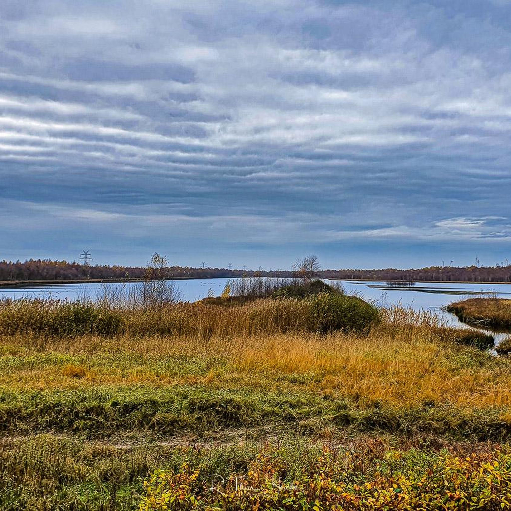
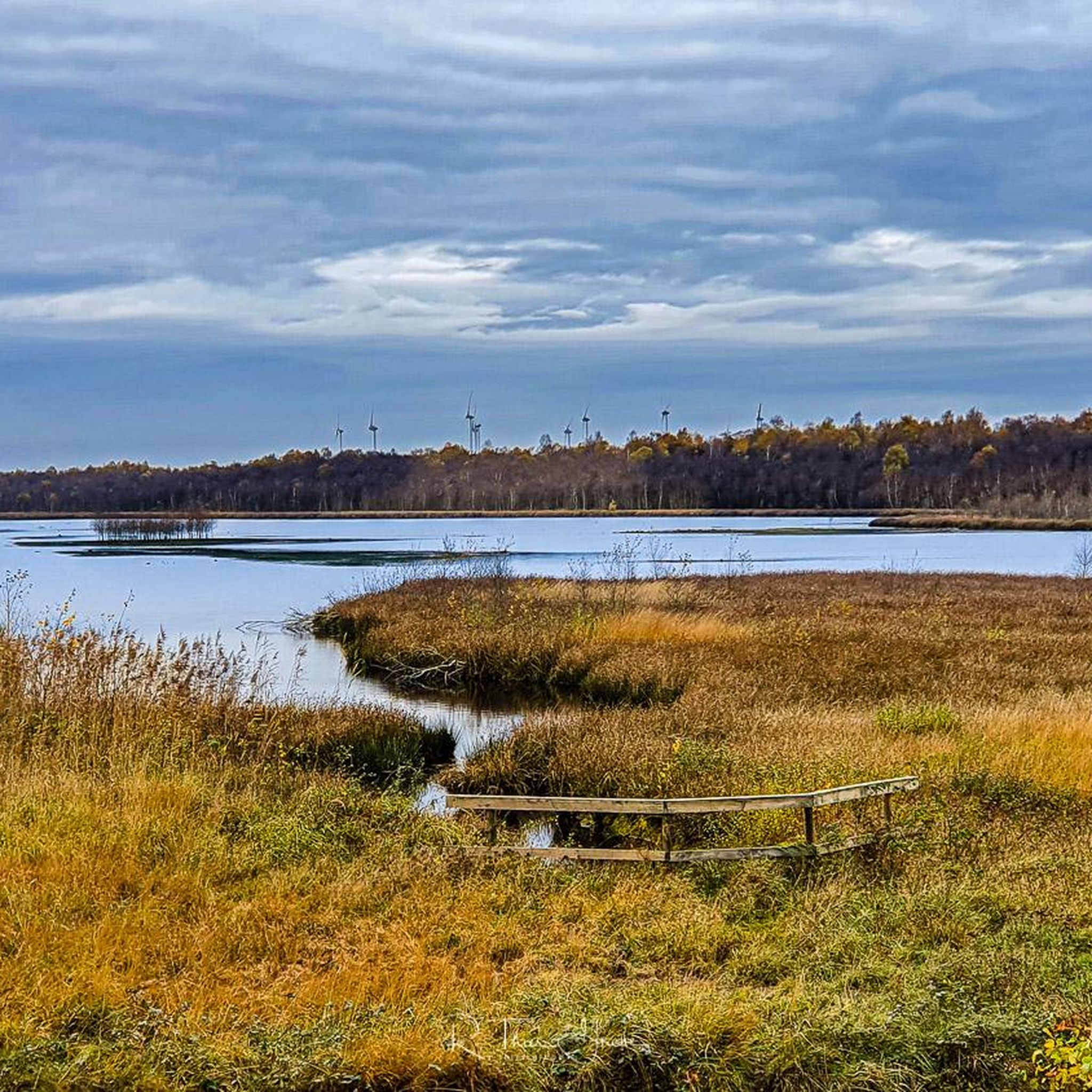
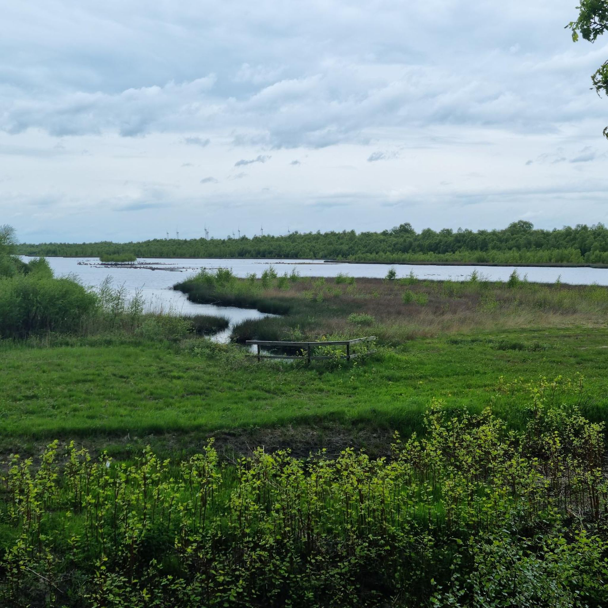
The Neudorfer Moor is a nature reserve in the Lower Saxony municipality of Uplengen in the Leer district. The nature reserve, designated NSG WE 114, is 350 hectares in size. The area has been a nature reserve since October 8, 1983. The responsible lower nature conservation authority is the Leer district. The nature reserve is located in the north of the municipality of Uplengen on the border with the municipality of Wiesmoor. The area protects the remains of a raised bog which, like the nature reserves of Lengener Meer, Stapeler Moor, Spolsener Moor and Herrenmoor a few kilometers further east, is one of the formerly extensive East Frisian central moors. The moor, where peat mining used to take place, is being renaturalized. A small part of the nature reserve is used as agricultural grassland. The area is drained via the Riesmeerschloot and the Nordgeorgsfehnkanal to the Jümme. There is a viewing platform in the east of the nature reserve.
4
1
Frequently Asked Questions
How many hiking trails are available in Nsg Neudorfer Moor?
There are over 200 hiking trails available in Nsg Neudorfer Moor, catering to various preferences and skill levels. The komoot community has explored these routes over 2000 times, highlighting the area's popularity for outdoor activities.
What kind of landscape can I expect when hiking in Nsg Neudorfer Moor?
Nsg Neudorfer Moor features a unique moorland landscape, preserving a remnant of a former raised bog. You'll encounter distinctive peat soils and areas undergoing rewetting efforts to restore natural bog hydrology. The terrain is generally flat with minimal elevation changes, making for leisurely walks.
Are there any easy hiking trails suitable for beginners or families?
Yes, Nsg Neudorfer Moor offers many easy trails. For example, the Poghausen Bascule Bridge – Nordgeorgsfehn Canal loop from Neudorf is an easy 3.8 km path along the canal. Another accessible option is the Hiking loop from Holle Sand, which is 3.4 km long and also considered easy.
Are there any circular hiking routes in Nsg Neudorfer Moor?
Yes, many routes in Nsg Neudorfer Moor are circular. A popular option is the Hiking loop from Neudorfer Moor, which is 10.7 km long and offers views of the rewetting area. Another moderate circular route is the Hiking loop from Mullberger Hof, spanning 14.4 km.
What are the best times of year to hike in Nsg Neudorfer Moor?
The Nsg Neudorfer Moor is generally suitable for hiking in all seasons. In summer, you might observe large dragonflies along the cycling paths. The rewetting areas create an attractive environment for various bird species, making spring and autumn good for birdwatching. The flat paths are also suitable for all-weather conditions.
What kind of wildlife or natural features can I see?
The rewetting efforts in Nsg Neudorfer Moor create ideal habitats for bog-dwelling animal and plant species. You can spot various bird species, including black-headed gulls and black-necked grebes, especially from the observation tower. In summer, large dragonflies are frequently seen. The area is also a crucial refuge for specialized high moor flora.
Are there any viewpoints or observation points in the nature reserve?
Yes, there is an observation tower located on the eastern side of the nature reserve. It offers panoramic views of the rewetting area and its diverse birdlife. Additionally, on the western side, two covered wooden pavilions provide information about the moorland ecosystem.
Is Nsg Neudorfer Moor suitable for dog walking?
While the region is generally welcoming to outdoor activities, specific regulations for dogs within the nature reserve can vary. It's always recommended to keep dogs on a leash to protect the sensitive moorland ecosystem and its wildlife, especially during breeding seasons.
What do other hikers say about their experience in Nsg Neudorfer Moor?
The komoot community highly rates Nsg Neudorfer Moor, with an average score of 4.6 stars from over 400 reviews. Hikers often praise the unique moorland scenery, the peaceful atmosphere, and the well-maintained, flat paths that make for enjoyable and accessible walks.
Are there parking facilities available for hikers?
While specific parking locations are not detailed in the guide, nature reserves like Nsg Neudorfer Moor typically have designated parking areas at trailheads or main access points. It is advisable to check local signage upon arrival for official parking information.
Can I reach Nsg Neudorfer Moor using public transport?
Information regarding specific public transport connections directly to the trailheads within Nsg Neudorfer Moor is not readily available. Visitors often rely on personal vehicles to access such nature reserves. It is recommended to check regional bus schedules or local transport options if planning to use public transport.
Most popular routes in Nsg Neudorfer Moor
Most popular attractions in Nsg Neudorfer Moor

Get inspired with the komoot mobile app


Explore more
Browse the best Hikes in other regions.
