Bienener Altrhein, Millinger Meer Und Hurler Meer
Bienener Altrhein, Millinger Meer Und Hurler Meer
The best road cycling routes in Bienener Altrhein, Millinger Meer Und Hurler Meer
4.5
(420)
5,723
riders
351
rides
Road cycling routes in Bienener Altrhein, Millinger Meer Und Hurler Meer are characterized by a flat Lower Rhine landscape, making the region accessible for cyclists of varying skill levels. The area features an "Altrhein" system with several oxbow lakes, including Bienener Altrhein, Millinger Meer, and Hurler Meer, set within expansive Rhine meadows and riparian forests. Cyclists can explore a well-developed network of dike cycle paths that offer panoramic views across this distinctive floodplain environment. The terrain is generally paved and…
Last updated: July 4, 2026
4.5
(2)
61
riders
49.3km
02:01
50m
50m
Moderate road ride. Good fitness required. Some segments of this route may be unpaved and difficult to ride.
41
riders
68.8km
02:47
140m
140m
Moderate road ride. Good fitness required. Some segments of this route may be unpaved and difficult to ride.

Sign up for free
4.5
(8)
29
riders
Moderate road ride. Good fitness required. Mostly well-paved surfaces and easy to ride.
5.0
(1)
21
riders
74.7km
03:03
190m
190m
Moderate road ride. Good fitness required. Mostly well-paved surfaces and easy to ride.
18
riders
Moderate road ride. Good fitness required. Some segments of this route may be unpaved and difficult to ride.
Get access to more routes and recommendations from other explorers.
Sign up for free
Already have an account?
Our route recommendations are based on thousands of hikes, rides, and runs completed by other people on komoot.
Start today with a free account
Your next adventure awaits.
Login or Signup
Popular around Bienener Altrhein, Millinger Meer Und Hurler Meer
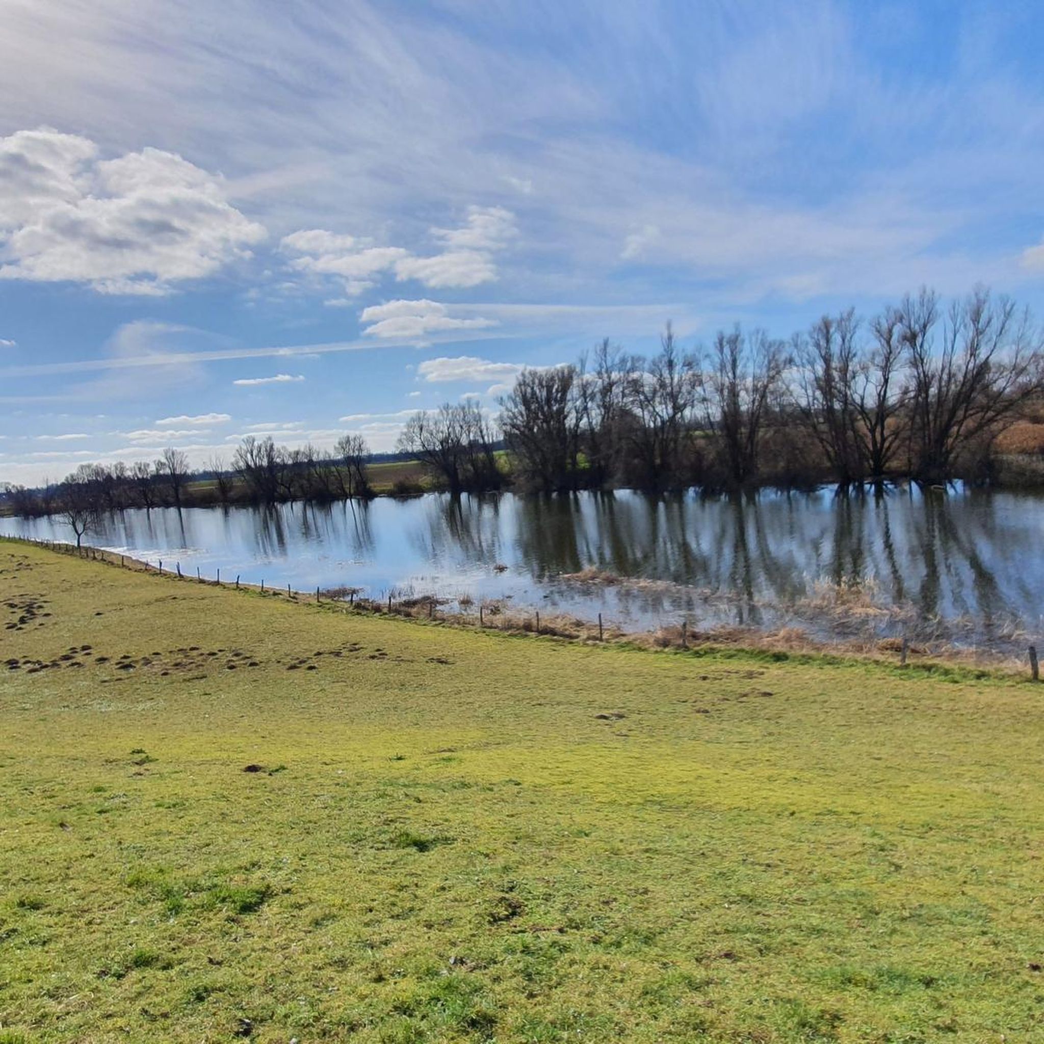
Cycling in Bienener Altrhein, Millinger Meer Und Hurler Meer
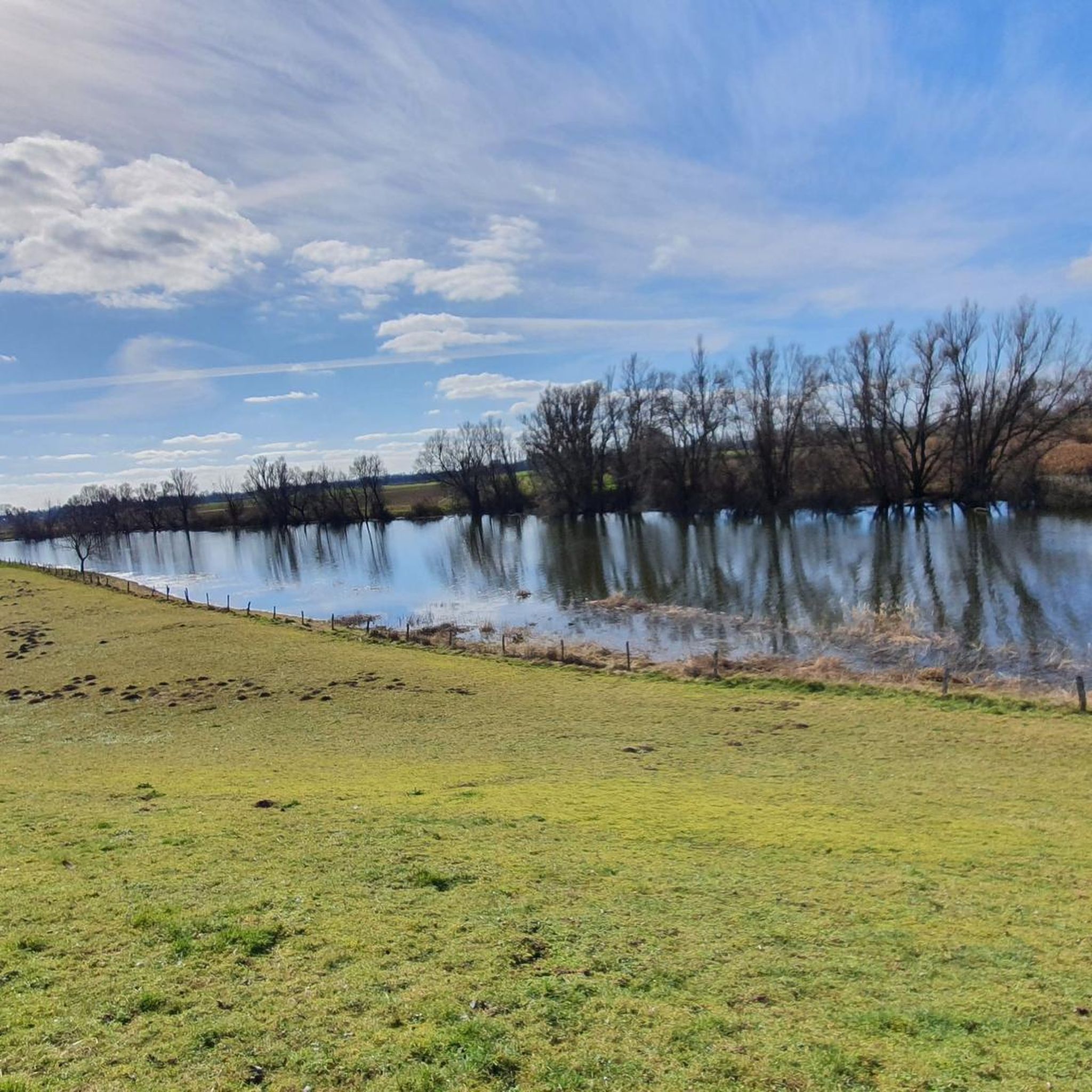
Hiking in Bienener Altrhein, Millinger Meer Und Hurler Meer
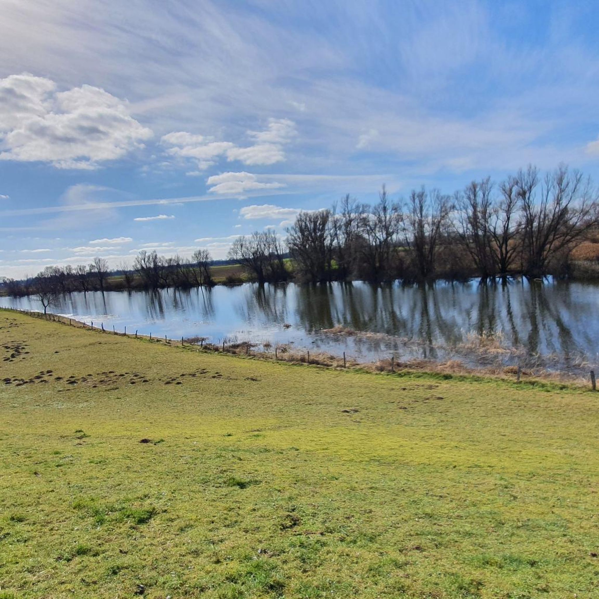
MTB Trails in Bienener Altrhein, Millinger Meer Und Hurler Meer
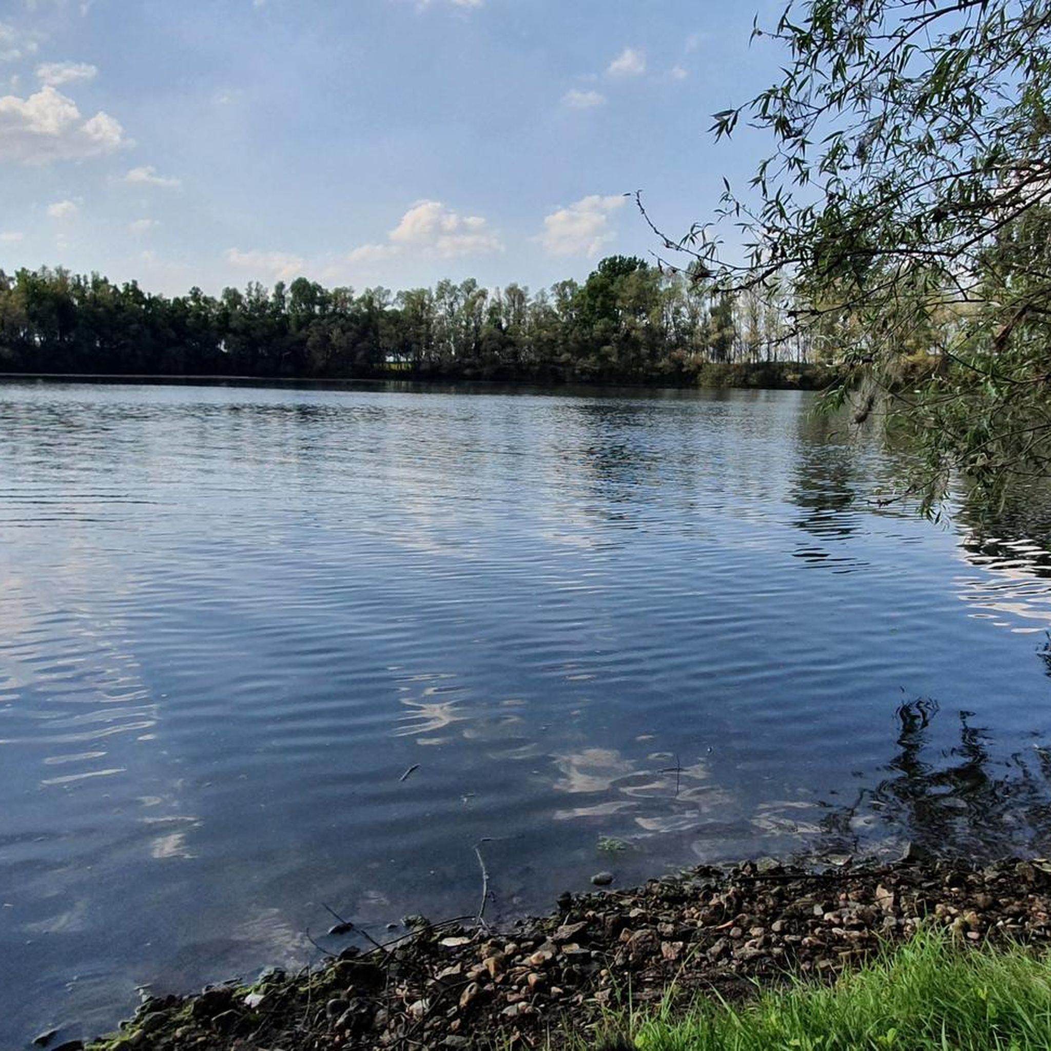
Running Trails in Bienener Altrhein, Millinger Meer Und Hurler Meer
Gravel biking in Bienener Altrhein, Millinger Meer Und Hurler Meer
Tips from the Community

Former railway line to Kleve. Only cyclists, e-scooters and pedestrians allowed, away from the federal highway B57. Old relics of the railway everywhere.
2
0

Various traffic lights at the intersections
1
0

Very nice stretch of water, you can walk around it
2
0

@Super Groby for us on the Lower Rhine something like that is already a good HM 😃⛰️
1
0

No matter what group of handcar riders you encounter – old, young, large groups, or just two people – everyone is always having fun and smiling.
4
0


nice bridge and nice view.
1
0

Nice long straight to accelerate, two or three transitions where you have to slow down a bit
2
0
Frequently Asked Questions
How many road cycling routes are available in Bienener Altrhein, Millinger Meer Und Hurler Meer?
There are over 340 road cycling routes in the Bienener Altrhein, Millinger Meer Und Hurler Meer region. This includes 105 easy routes, 228 moderate routes, and 7 difficult routes, catering to a wide range of skill levels.
What is the typical terrain like for road cycling in this region?
The region is characterized by a predominantly flat Lower Rhine landscape, making it ideal for road cycling. You'll find an extensive network of well-maintained dike cycle paths, many of which are paved and offer panoramic views over the Rhine meadows and tranquil oxbow lakes.
Are there family-friendly road cycling routes in Bienener Altrhein, Millinger Meer Und Hurler Meer?
Yes, the flat terrain and numerous easy routes make this area very suitable for family cycling. Many of the 105 easy routes are perfect for leisurely rides with children, allowing everyone to enjoy the scenic landscape.
What natural features and landmarks can I see while road cycling here?
The region is rich in natural beauty and historical sites. You can explore the unique 'Altrhein' system with its oxbow lakes like Bienener Altrhein, Millinger Meer, and Hurler Meer. Notable highlights include the Dike cycle path and transformer tower near Bienen, the Bienener Altrhein Nature Reserve, and the Millinger Meer Beach. You might also pass historical sites like the Mühle Rosau Tower Ruin.
Can I observe wildlife while cycling in the Bienener Altrhein, Millinger Meer Und Hurler Meer region?
Absolutely. This area is a designated nature reserve within the Lower Rhine Bird Sanctuary and a European Natura2000 area. It's a crucial breeding, resting, molting, and overwintering ground for various bird species, including geese, swans, ducks, and waders. Keep an eye out for the Northwest's only black tern breeding colony, especially around Bienener Altrhein and Millinger Meer.
What is the best season for road cycling in Bienener Altrhein, Millinger Meer Und Hurler Meer?
The region is enjoyable for road cycling throughout spring, summer, and autumn. These seasons offer pleasant weather for exploring the dike paths and observing nature. While winter cycling is possible, be mindful of colder temperatures and potential for less favorable conditions.
Are there any circular road cycling routes available?
Yes, many routes in the region are designed as loops, allowing you to start and end at the same point. An example is the New Bienen Dike Cycle Path – Rhine River at Grieth loop from Praest, which offers scenic views along the Rhine.
Where can I find parking for road cycling routes in the area?
Parking is generally available in the villages and towns that serve as starting points for many routes. For instance, routes often begin from locations like Praest or Empel-Rees, where you can typically find suitable parking facilities.
Is the region accessible by public transport for cyclists?
While specific public transport connections for cyclists are not detailed, the region is generally well-connected. It's advisable to check local public transport schedules and regulations regarding bicycle carriage for the most convenient access to your chosen starting point.
What do other road cyclists enjoy the most about road cycling in Bienener Altrhein, Millinger Meer Und Hurler Meer?
The area is highly rated by the komoot community, with an average score of 4.5 stars from over 300 reviews. Cyclists frequently praise the tranquil environment, the extensive network of well-maintained dike paths offering magnificent panoramic views, and the opportunities for nature observation along the oxbow lakes and Rhine meadows.
Are there places to eat or stay along the road cycling routes?
Yes, the region offers options for breaks and overnight stays. For example, the Millinger Meer Beach features a restaurant with a view, perfect for a stop during your ride. You'll find cafes, pubs, and accommodation in the surrounding villages and towns.
Most popular routes in Bienener Altrhein, Millinger Meer Und Hurler Meer
Most popular attractions in Bienener Altrhein, Millinger Meer Und Hurler Meer

Get inspired with the komoot mobile app


Explore more
Browse the best Road cycling routes in other regions.
